The best running trails around Montmerrei
4.1
(13)
519
runners
71
runs
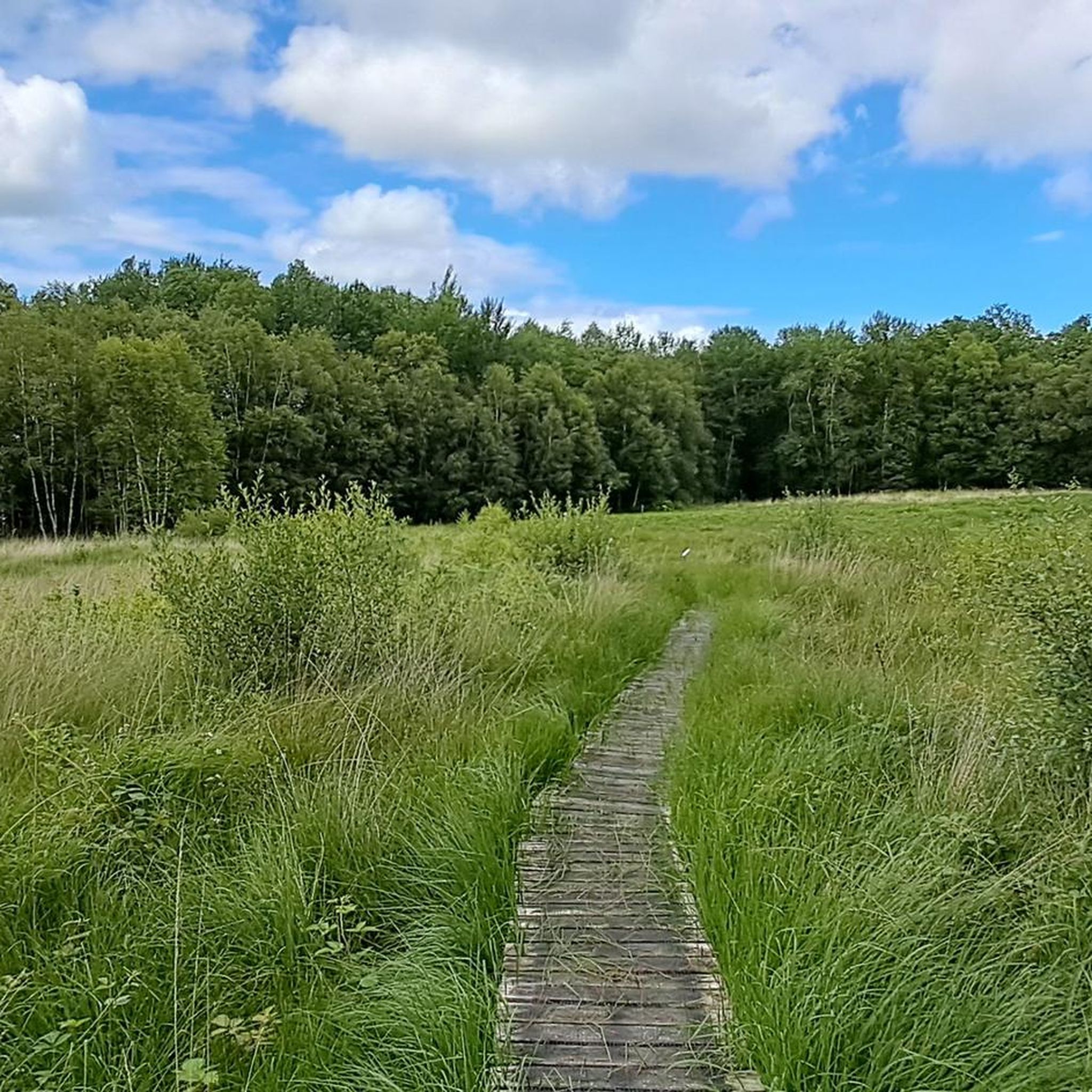
Jogging around Montmerrei offers diverse natural landscapes within the Orne department of Normandy. The region is characterized by extensive forests, including the Forêt d'Écouves, and is part of the broader Regional Natural Park of Normandie-Maine. Runners can find a variety of paths, from shaded forest trails to more accessible, often paved routes, providing a peaceful environment for outdoor activity.
Best jogging routes around Montmerrei
- The most popular jogging route is Running loop from Orne, a 4.2 miles (6.8 km)…
Last updated: July 8, 2026
5
runners
7.50km
00:49
100m
100m
Moderate run. Good fitness required. Mostly paved surfaces. Suitable for all skill levels.
5
runners
4.56km
00:31
20m
20m
Easy run. Great for any fitness level. Mostly paved surfaces. Suitable for all skill levels.

Sign up for free
3
runners
6.68km
00:46
40m
40m
Moderate run. Good fitness required. Mostly paved surfaces. Suitable for all skill levels.
4
runners
8.50km
00:54
100m
100m
Moderate run. Good fitness required. Mostly paved surfaces. Suitable for all skill levels.
3
runners
6.38km
00:40
40m
50m
Moderate run. Good fitness required. Mostly paved surfaces. Suitable for all skill levels.
Get access to more routes and recommendations from other explorers.
Sign up for free
Already have an account?
Our route recommendations are based on thousands of hikes, rides, and runs completed by other people on komoot.
Start today with a free account
Your next adventure awaits.
Login or Signup
Tips from the Community

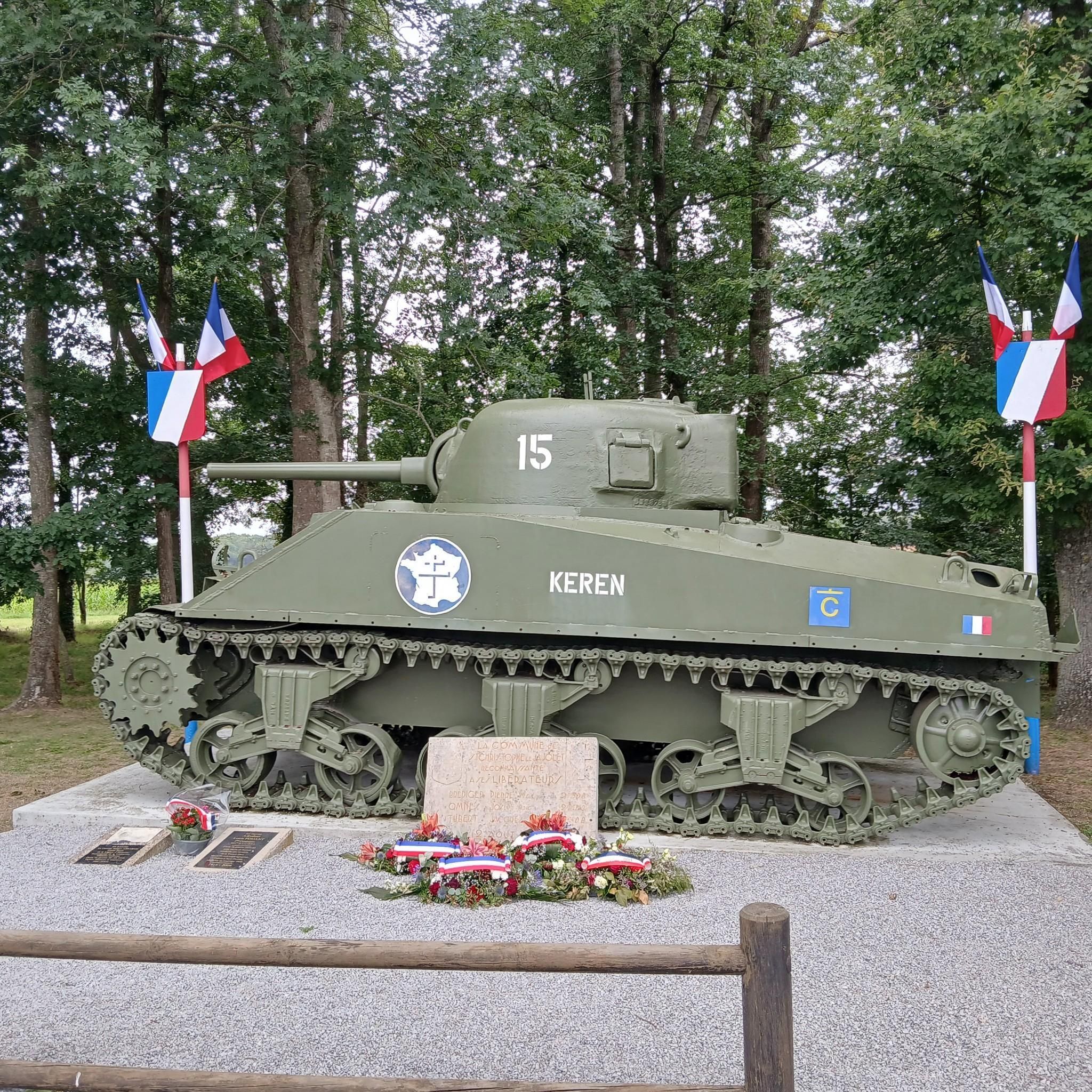
1944, General Leclerc's 2nd Armored Division advances from Utah Beach towards the German border. The Keren tank unfortunately did not make the trip. Don't panic, he has found a new home in the town of Boischampré.
3
0
Frequently Asked Questions
How many running routes are available around Montmerrei?
There are over 50 running routes around Montmerrei, offering a wide range of options for all fitness levels. You'll find everything from easy jogs to more challenging trails, with 4 easy, 46 moderate, and 6 difficult routes to explore.
What kind of terrain can I expect on running trails near Montmerrei?
Running routes near Montmerrei feature diverse natural landscapes, primarily characterized by extensive forests like the Forêt d'Écouves. You can expect varied terrain, from shaded forest trails to more accessible, often paved paths, providing a peaceful environment for your run.
Are there any easy running routes suitable for beginners or a relaxed jog?
Yes, Montmerrei offers several easy running options. For a relaxed jog, consider the Running loop from Mortrée, which is 4.6 km long and has minimal elevation gain, making it perfect for beginners or a leisurely pace.
Are there any circular running routes in the Montmerrei area?
Many of the running routes around Montmerrei are circular, allowing you to start and finish at the same point. A popular option is the Running loop from Orne, which covers 6.8 km and offers a moderate challenge.
What do other runners enjoy most about jogging in Montmerrei?
The running routes in Montmerrei are highly rated by the komoot community, with an average score of 4.5 stars from over 10 reviews. Runners often praise the peaceful environment, the varied terrain, and the extensive network of trails through dense woodlands.
Are there any historical landmarks or points of interest along the running routes?
Yes, you can combine your run with a visit to local landmarks. The Dolmen de la Pierre Tournoire loop from Montmerrei is a moderate 7.9 km path that circles a notable historical dolmen. Other nearby attractions include the Château de Sassy and the Sherman tank.
Are the running trails in Montmerrei suitable for families?
Many of the trails, especially the easier and moderate ones, are suitable for families. The varied terrain and shaded forest paths provide an enjoyable experience for all ages. Consider routes with less elevation for younger family members.
Can I bring my dog on the running routes around Montmerrei?
The natural landscapes around Montmerrei, particularly the extensive forests like the Forêt d'Écouves, are generally welcoming for dogs. However, it's always advisable to keep your dog on a leash and respect local regulations, especially in protected areas or near wildlife.
Are there any running routes that pass by water features?
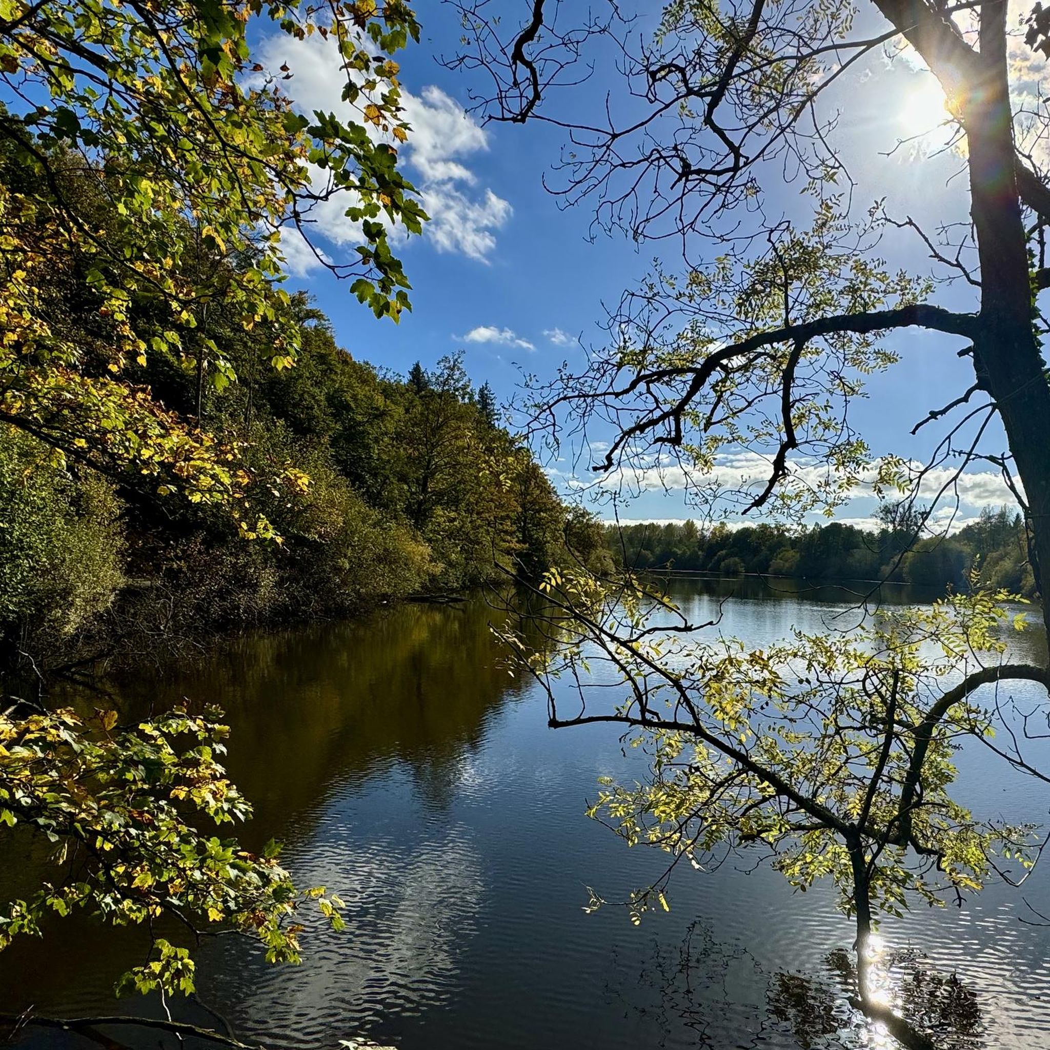
Yes, for a scenic run near water, try the Étang de Vrigny loop from Vrigny. This 7.6 km trail leads through the beautiful area around the Étang de Vrigny, offering pleasant views and a refreshing atmosphere.
What is the typical length and duration of running routes in this area?
The running routes around Montmerrei vary in length, but many popular options are between 4.5 km and 8 km. For example, the Running loop from Montmerrei is 6.7 km and takes about 45 minutes, while the Dolmen de la Pierre Tournoire loop is 7.9 km and typically takes around 50 minutes.
Are there opportunities for more challenging or advanced trail running?
Absolutely. While many routes are moderate, the region's diverse terrain and proximity to areas like the Forêt d'Écouves offer opportunities for more demanding runs. There are 6 difficult routes available for those seeking a greater challenge with more significant elevation changes.
What are the main natural attractions for runners near Montmerrei?
The primary natural attractions for runners include the vast Forêt d'Écouves, with its highest point, Signal d'Écouves, offering shaded trails and varied terrain. Montmerrei is also close to the broader Regional Natural Park of Normandie-Maine, providing extensive natural beauty and a network of paths.
Most popular attractions around Montmerrei

Get inspired with the komoot mobile app


Explore more
Browse the best Running Trails & Routes in other regions.
