The best mountain hikes around Brachtendorf
4.3
(5)
20
hikers
2
hikes
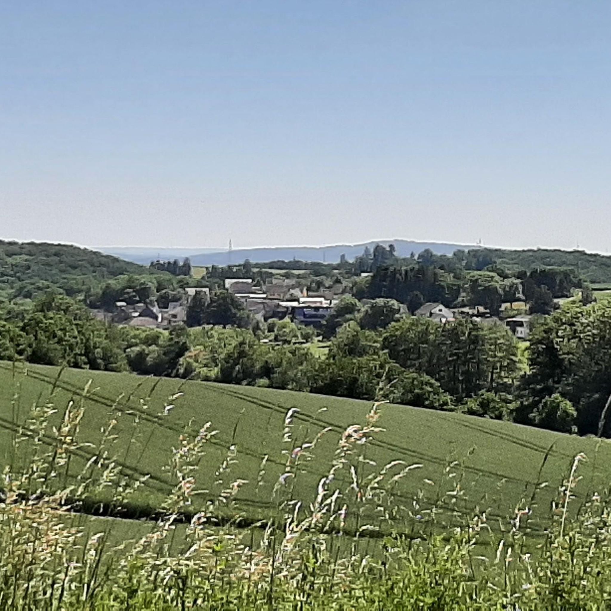
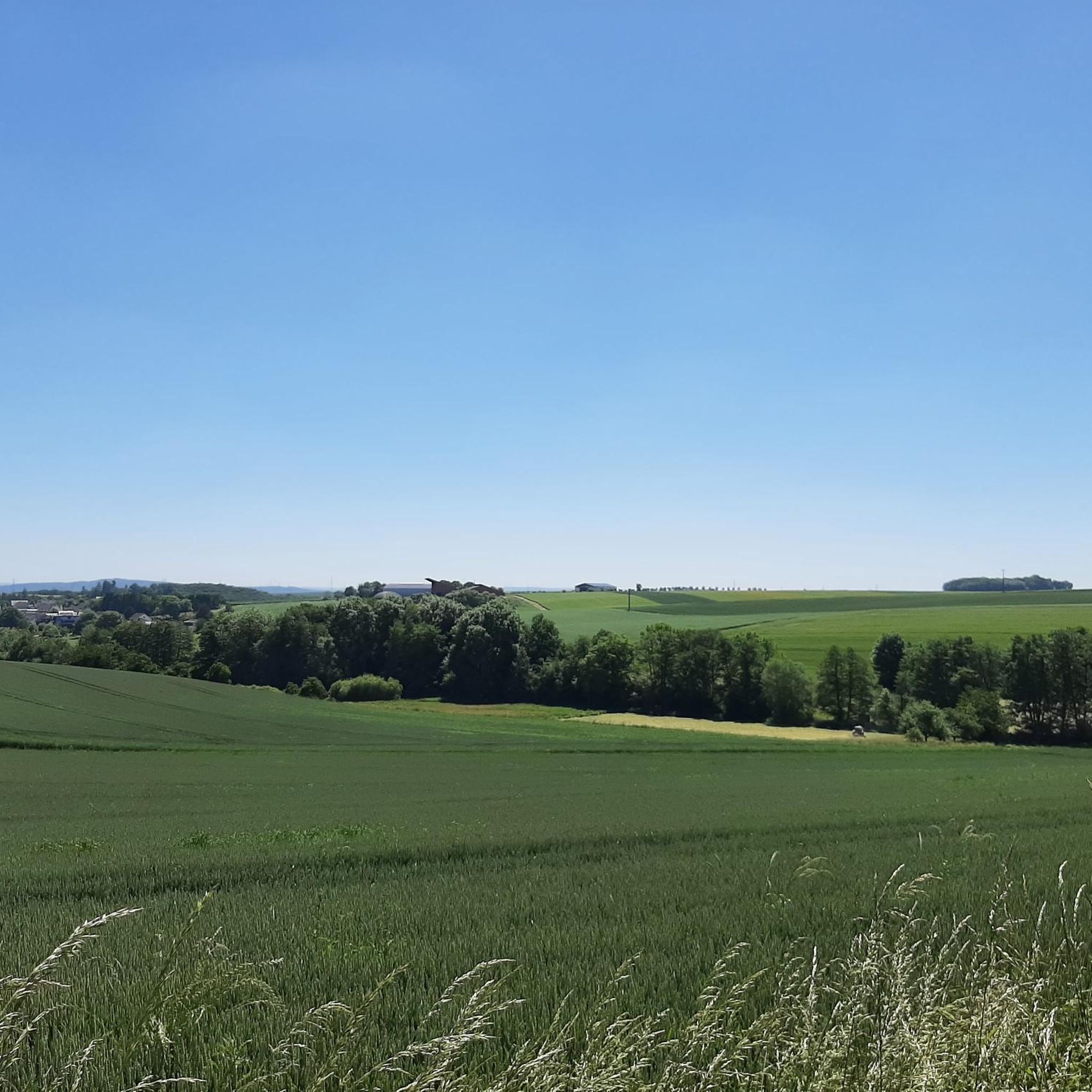
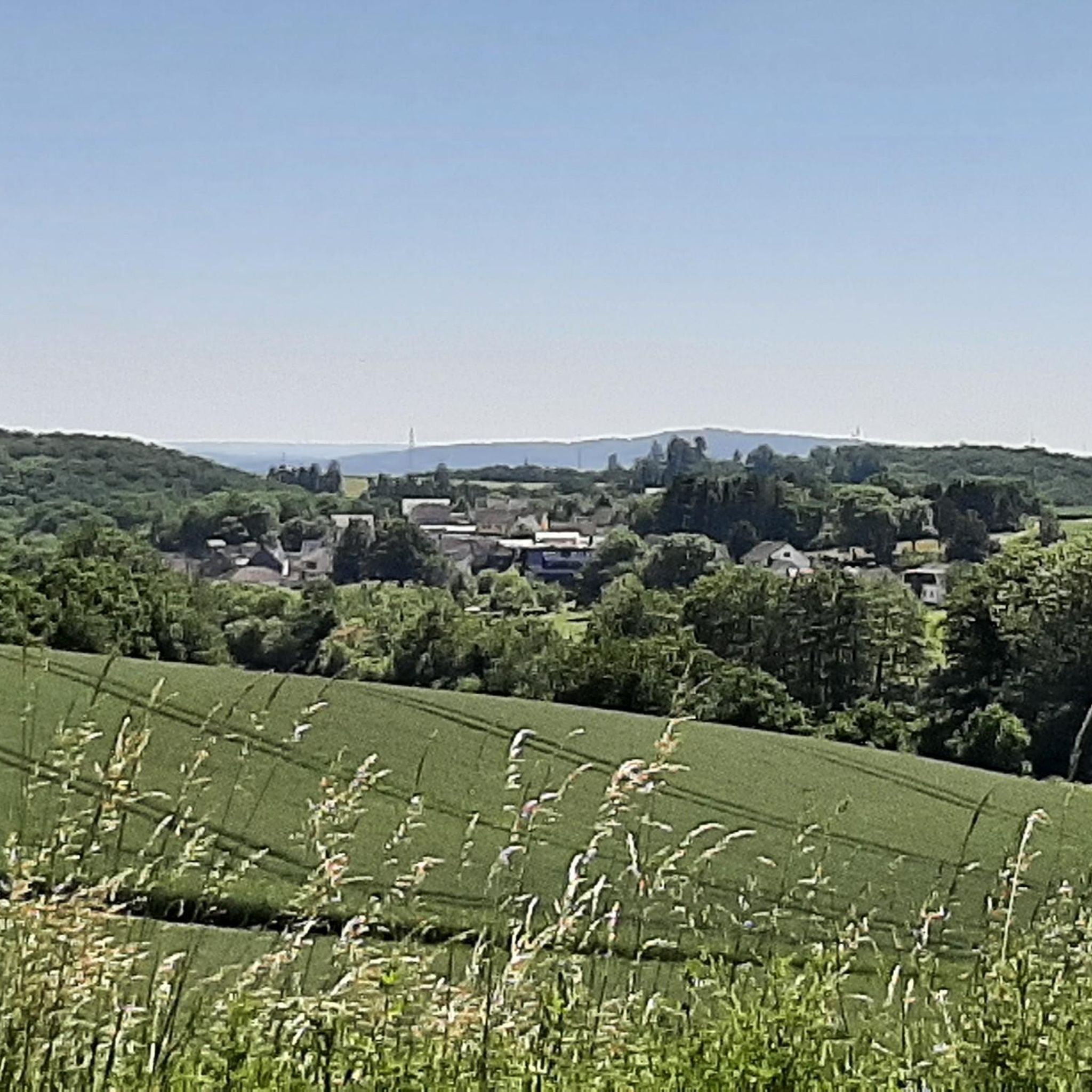
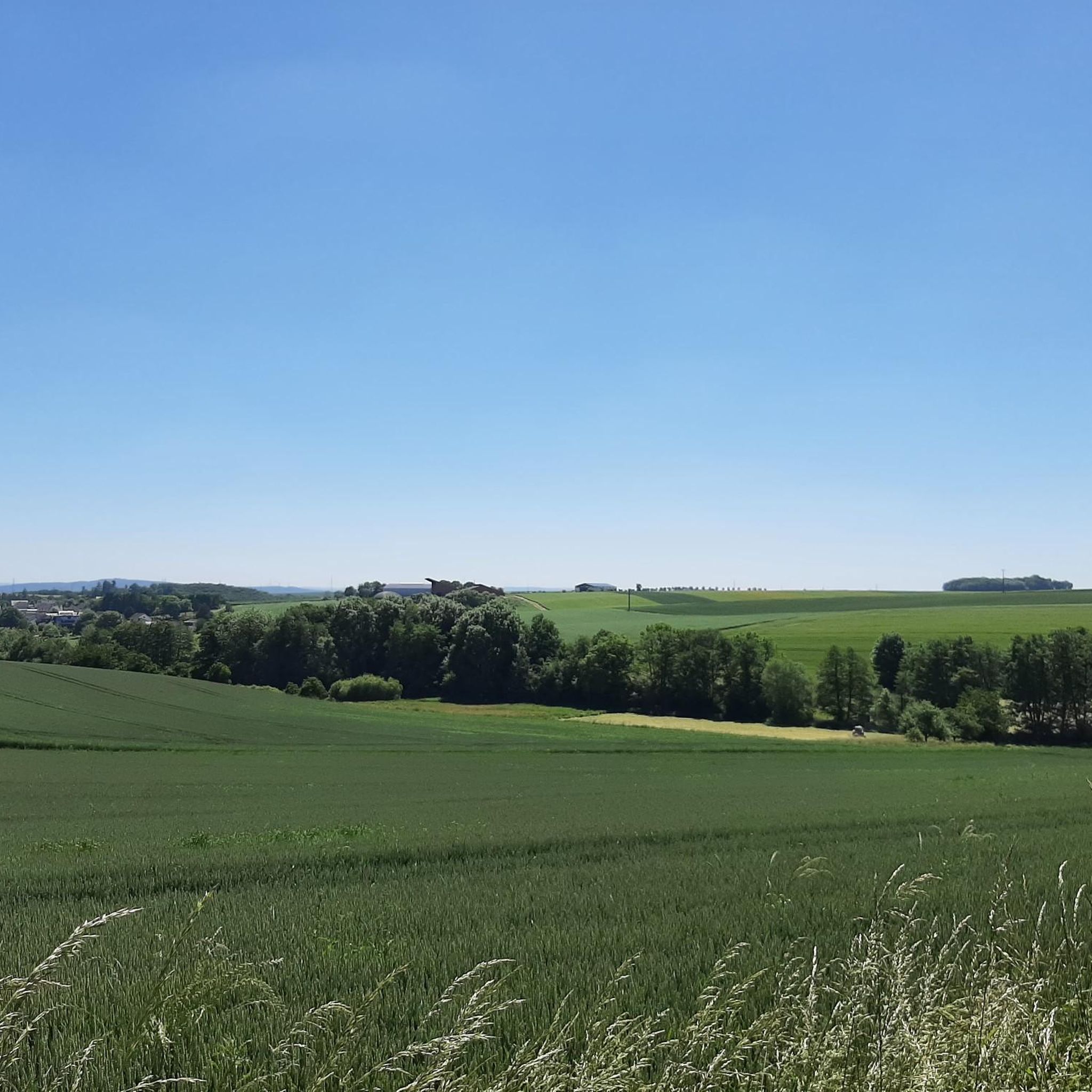
Mountaineering routes around Brachtendorf are situated within the Eifel region, a low mountain range characterized by rolling hills, valleys, and extensive forests. The municipality itself lies at approximately 300 meters (980 feet) above sea level, with the scenic Moselle River valley located nearby. The landscape features verdant scenery, including the Brohlbach stream, and offers varied terrain for exploration.
Best mountaineering routes around Brachtendorf
- The most popular mountaineering route is Eltz Castle – Forest Path to Eltz Castle loop from Moselkern, a 7.7 miles (12.4 km) trail that takes 3 hours 40 minutes to complete. This moderate route leads through dense forest paths to the historic Eltz Castle.
- Another top favourite among local mountaineers is View of Eltz Castle – Eltz Castle loop from Wierschem, a moderate 7.5 miles (12.1 km) path. This route offers panoramic views of Eltz Castle and the surrounding valley.
- Local mountaineers also love the Stone Bridge over the Elzbach – View of Eltz Castle loop from Treis-Karden, an 8.7 miles (14.0 km) trail leading through the Elzbach valley, often completed in about 4 hours 36 minutes.
- Mountaineering around Brachtendorf is defined by rolling hills, forested valleys, and picturesque river landscapes. The network offers options for moderate ability levels.
- The routes in Brachtendorf are highly rated by the komoot community with an average score of 4.3 stars from 5 reviews. More than 20 mountaineers have used komoot to explore Brachtendorf's varied terrain.
Last updated: June 26, 2026
5.0
(2)
9
hikers
Moderate mountaineering route. Good fitness required. Mostly accessible paths. Sure-footedness required.
5.0
(2)
9
hikers
12.2km
03:40
330m
330m
Moderate mountaineering route. Good fitness required. Mostly accessible paths. Sure-footedness required.

Sign up for free
3.0
(1)
2
hikers
14.0km
04:37
540m
540m
Moderate mountaineering route. Good fitness required. Mostly accessible paths. Sure-footedness required.
Our route recommendations are based on thousands of hikes, rides, and runs completed by other people on komoot.
Start today with a free account
Your next adventure awaits.
Login or Signup
Tips from the Community


Fine, natural paths and yet you are rarely alone here
10
0

The climb here is tough.
2
0


The Moselsteig Trail, or rather, the dream path, continues from the restaurant/café to the left, over a small bridge... Caution ⚠️ the path goes uphill to the left!!! DO NOT go straight ahead!!! Otherwise, the trail ends on a very, very steep slope with lots of loose scree.
5
0

You can also have a beautiful view of the castle from the stream below.
3
0

Relatively steep climb Good footwear and safety gear are recommended
4
0

Inconspicuous from the outside, but equipped with some beautiful artifacts on the inside.
3
0
Frequently Asked Questions
What kind of terrain can I expect on mountaineering routes around Brachtendorf?
The Brachtendorf area, situated in the Eifel region, offers a landscape characterized by rolling hills, picturesque valleys, and extensive forests. You'll find verdant scenery, including the Brohlbach stream, and varied terrain suitable for exploration. The routes are generally considered moderate, involving ascents and descents through this low mountain range.
Are there any circular mountaineering routes available?
Yes, several routes around Brachtendorf are designed as loops. For example, the Eltz Castle – Forest Path to Eltz Castle loop from Moselkern and the View of Eltz Castle – Eltz Castle loop from Wierschem both offer circular experiences, allowing you to start and end at the same point after exploring the beautiful Eltz Castle area.
What are the typical difficulty levels for mountaineering routes in this region?
The mountaineering routes around Brachtendorf are predominantly of moderate difficulty. They involve significant distances and elevation changes, such as the Stone Bridge over the Elzbach – View of Eltz Castle loop from Treis-Karden, which has an elevation gain of over 500 meters. These routes are well-suited for individuals with a good level of fitness and some hiking experience.
What natural landmarks or scenic viewpoints can I discover along the routes?
The region offers several scenic viewpoints and natural features. You can enjoy breathtaking views from the Pinnerkreuz Viewpoint, which overlooks the valley and surrounding mountains. The routes often pass through forested areas and along river valleys, providing plenty of picturesque scenery.
Is it possible to reach the starting points of these routes by public transport?
While specific public transport details for each trailhead are best checked locally, the region around Brachtendorf is generally accessible. For routes starting from towns like Moselkern, Wierschem, or Treis-Karden, there may be bus or train connections. It's advisable to research local transport options to these specific starting points before your trip.
Are there any permits required for mountaineering in the Brachtendorf area?
No specific permits are generally required for hiking or mountaineering on the established trails around Brachtendorf. The trails are open for public use. However, always respect local regulations, especially concerning nature reserves or private property.
What is the best season to go mountaineering in Brachtendorf?
The Eifel region, including Brachtendorf, is particularly appealing in autumn when the grape harvest begins, and the leaves transform into vibrant colors. Spring and summer also offer excellent conditions with milder weather and lush greenery. While winter mountaineering is possible, be prepared for colder temperatures and potentially icy conditions.
Are the mountaineering routes around Brachtendorf suitable for families?
The routes listed, such as the Eltz Castle – Forest Path to Eltz Castle loop from Moselkern, are generally moderate in difficulty, with distances ranging from 12 to 14 kilometers and significant elevation changes. While not technically challenging, their length and ascent might be demanding for very young children or families new to hiking. Families with older, experienced children who are accustomed to longer walks may find them enjoyable.
Can I bring my dog on the mountaineering trails?
Most hiking trails in the Eifel region, including those around Brachtendorf, are dog-friendly. However, it is always recommended to keep your dog on a leash, especially in forested areas, near wildlife, or when passing through villages. Please also ensure you clean up after your pet.
What do other mountaineers say about the routes in Brachtendorf?
The routes in Brachtendorf are highly rated by the komoot community, with an average score of 4.3 stars from 5 reviews. Users often praise the scenic beauty, particularly the views of Eltz Castle, and the well-maintained paths through the forested valleys.
Are there places to eat or stay near the mountaineering routes?
Brachtendorf and nearby towns along the Moselle River, such as Moselkern, Wierschem, and Treis-Karden, offer various options for cafes, pubs, and accommodation. You'll find guesthouses, restaurants, and places to relax and refuel after your mountaineering adventure.
Where can I park my car when starting a mountaineering route?
For routes like those leading to Eltz Castle, designated parking areas are typically available near the trailheads in towns such as Moselkern or Wierschem. It's advisable to check specific parking information for your chosen starting point before your trip.
Most popular routes around Brachtendorf
Most popular attractions around Brachtendorf

Get inspired with the komoot mobile app


Explore more
Browse the best Mountain Hikes & Routes in other regions.
