The best mountain hikes around Brockscheid
5.0
(85)
360
hikers
8
hikes
Mountaineering routes around Brockscheid are characterized by the unique volcanic landscape of the Vulkaneifel, featuring maars, volcanic peaks, and block screes of basalt rock. The region offers rugged terrain, dense forests, and rolling hills carved by streams, providing a varied environment for outdoor pursuits. This geological history contributes to challenging and interesting paths, including steep ascents and descents. For a more technical experience, a non-Alpine via ferrata is also located nearby.
Best mountaineering routes around Brockscheid
- The most popular mountaineering…
Last updated: October 5, 2026
5.0
(9)
31
hikers
Hard mountaineering route. Good fitness required. Sure-footedness, sturdy shoes and alpine experience required.
5.0
(5)
28
hikers
Hard mountaineering route. Great for any fitness level. Sure-footedness, sturdy shoes and alpine experience required.

7
hikers
Hard mountaineering route. Great for any fitness level. Sure-footedness, sturdy shoes and alpine experience required.
5.0
(1)
3
hikers
Moderate mountaineering route. Good fitness required. Easily-accessible paths. Suitable for all skill levels.
5.0
(1)
3
hikers
Moderate mountaineering route. Good fitness required. Easily-accessible paths. Suitable for all skill levels.
Get access to more routes and recommendations from other explorers.
Already have an account?
Our route recommendations are based on thousands of hikes, rides, and runs completed by other people on komoot.
Start today with a free account
Your next adventure awaits.
Tips from the Community

Pace yourself well if you are a beginner! Possibly don't do all 3 stages. Otherwise TIP: Start early! I always leave at 6, half past 6. Then there are still few people. Afterwards it quickly gets crowded. This way you are alone at the summit around 10 am with your well-deserved summit beer and can enjoy the sunrise along the way. Pure Eifel! 🌄
0
0
Perfect trail with various difficulties, there is something for everyone. Best to start veeery early! I always set off at 6, half past 6, because later it's always hellish. Unfortunately, it's slowly becoming a bit overcrowded, but in the early morning it's still "pure Eifel": the rushing of the Lieser, fog, tranquility and simply perfect climbing fun! That way, you're alone at the summit for a summit beer after all 3 stages by 10 am 🌄🤝📯
0
0

Not possible to see the lake anymore in 2026 due to growth of the bushes
0
0

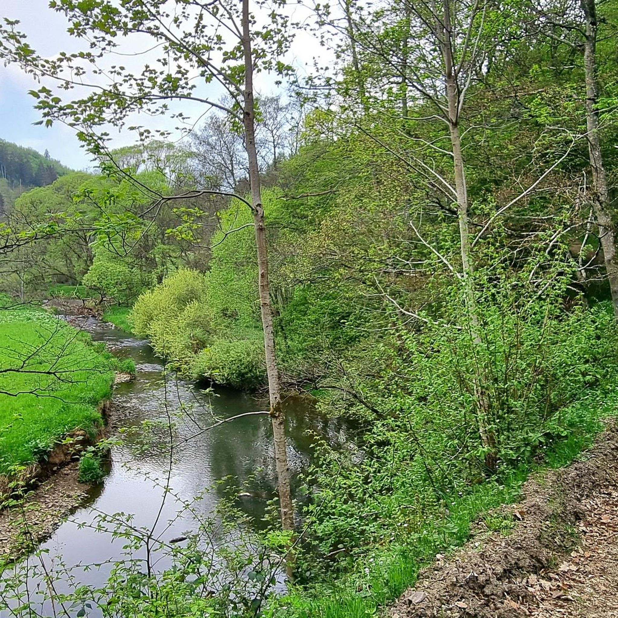
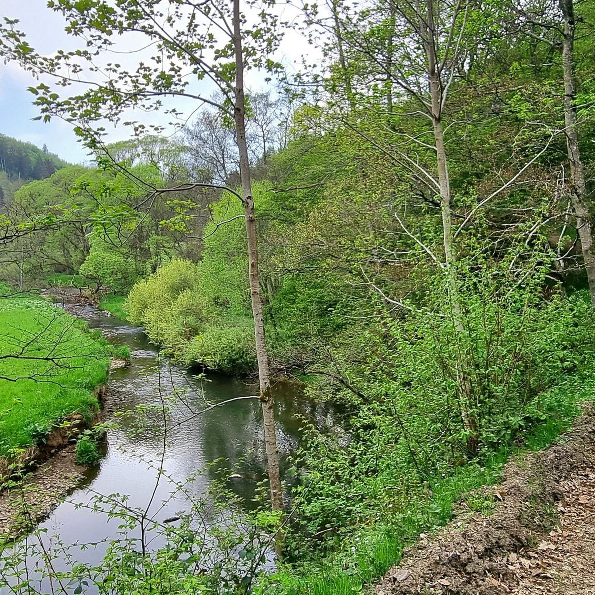
A great river with lots of nature and a lot of (earth) history.
0
0
A lovely hike, mindfulness trail, small Kyle, bridge, and then on to Heidsmühle for a wheat beer. Wonderful in summer, also a great way to cool off!
1
0

…a great challenging via ferrata in 3 stages with difficulties A - D along above the Lieser
1
0

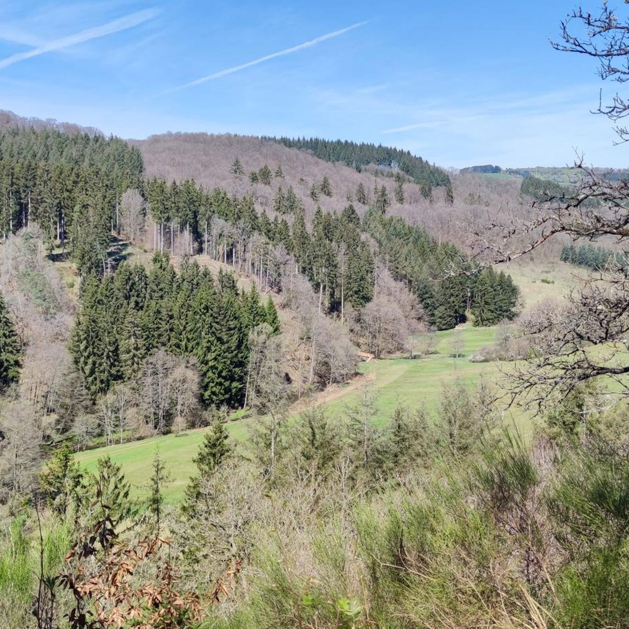
Very nice view of the entire town.
0
0
Behind the Daun ski lift begins the mining zone for volcanic rock near the Gemünden Maar.
0
0
Frequently Asked Questions
What kind of terrain can I expect on mountaineering routes around Brockscheid?
The routes around Brockscheid are defined by the unique volcanic landscape of the Vulkaneifel. You'll encounter varied terrain including maars (volcanic lakes), volcanic peaks, and block screes of basalt rock. Expect rugged paths, dense forests, and rolling hills carved by streams, often featuring steep ascents and descents.
Are there any beginner-friendly mountaineering routes in the Brockscheid area?
While many routes in the area are rated difficult, there are options for various ability levels. You can find moderate paths, such as the View of the Gemündener Maar – Weinfelder Church loop from Schalkenmehren, which offers picturesque views of the region's famous volcanic lakes without extreme technical challenges. This route is 5.2 miles (8.3 km) long.
What are the most popular mountaineering routes in Brockscheid?
The most popular route is the Wäschebach Suspension Bridge loop from Manderscheid, a challenging 4.8 miles (7.7 km) trail with scenic views. Another favorite is the Keep of Oberburg Castle loop from Manderscheid, a 2.6 miles (4.3 km) route through historic and volcanic terrain.
Are there any circular mountaineering routes available?
Yes, many of the mountaineering routes around Brockscheid are designed as loops, allowing you to start and end at the same point. Examples include the popular Wäschebach Suspension Bridge loop from Manderscheid and the View of the Gemündener Maar – Weinfelder Church loop from Schalkenmehren.
What unique natural attractions can I see along the mountaineering routes?
The Vulkaneifel region is famous for its maars, which are volcanic lakes. You can enjoy views of the Gemündener Maar, Weinfelder Maar, and Schalkenmehrener Maar. Additionally, you might encounter unique basalt block screes and dense forests. The Lieser Valley is also a prominent natural feature in the area.
Are there any historical sites or landmarks to explore near the routes?
Yes, the area offers several points of interest. You can explore the historic Keep of Oberburg Castle near Manderscheid. Other notable sites include the Goldglück Former Lead Mine and the Millstone Cave at Nerother Kopf.
Is there a via ferrata near Brockscheid for a more technical mountaineering experience?
Yes, for those seeking a more technical challenge, the Via Ferrata of Manderscheid is located nearby. This non-Alpine via ferrata features challenging segments along rocks, steep vertical terrain, and a 60-meter long steel suspension bridge over a river. It's divided into three stages with increasing difficulty.
What do other mountaineers say about the routes in Brockscheid?
The mountaineering routes in Brockscheid are highly regarded by the komoot community, with an average rating of 4.9 stars from over 140 reviews. Mountaineers often praise the unique volcanic landscapes, the varied terrain, and the well-maintained paths that offer both challenging segments and picturesque views.
Are there any family-friendly mountaineering options around Brockscheid?
While many routes are rated difficult, some sections or shorter loops might be suitable for families with older children who are accustomed to hiking. The region's maars offer picturesque scenery and opportunities for swimming and boat rentals, which can be combined with shorter, less strenuous walks. Always check the specific route's difficulty and length before heading out with family.
What is the best time of year for mountaineering in Brockscheid?
The Vulkaneifel region is generally pleasant for outdoor activities from spring through autumn. Spring brings blooming landscapes, while autumn offers vibrant foliage. Summers are also suitable, but it's always wise to check local weather forecasts, especially for potential thunderstorms, and be prepared for varying conditions due to the region's diverse terrain.
How many mountaineering routes are there in the Brockscheid area?
There are over 10 mountaineering routes available around Brockscheid, offering a range of distances and difficulty levels to explore the unique volcanic landscape of the Vulkaneifel.
Where can I find parking for mountaineering routes near Brockscheid?
Parking is generally available at popular trailheads and near villages like Manderscheid and Schalkenmehren, which serve as starting points for many routes. It's advisable to check specific route descriptions on komoot for detailed parking information for your chosen tour.
Are there any viewpoints offering panoramic views after a mountaineering tour?
Yes, the Kobesloch Hut offers a wonderful view over the Lieser Valley. Additionally, the Dronke Tower on the Mäuseberg, though accessible via steep paths, provides panoramic views over the maars and surrounding volcanic landscape.
Most popular routes around Brockscheid
Most popular attractions around Brockscheid

Get inspired with the komoot mobile app


Explore more
Browse the best Mountain Hikes & Routes in other regions.
