The best running trails around Wilzenberg-Hußweiler
4.3
(136)
1,434
runners
148
runs
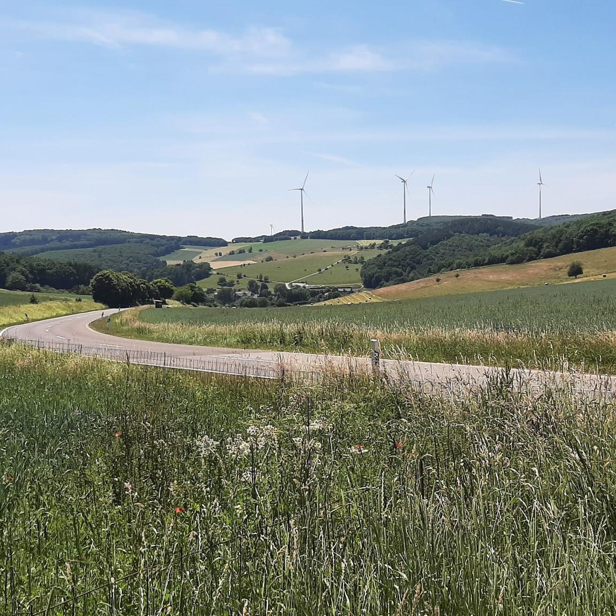
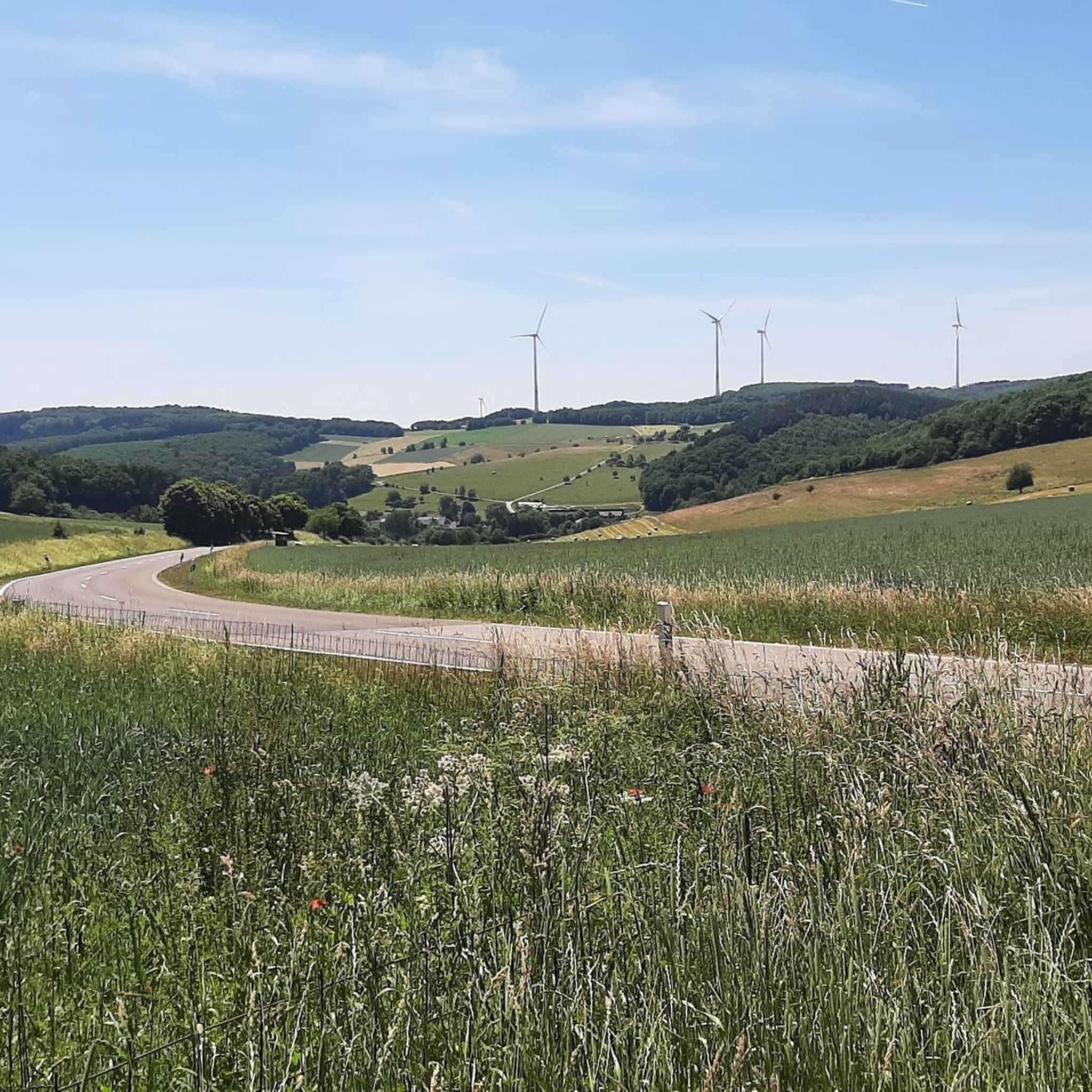
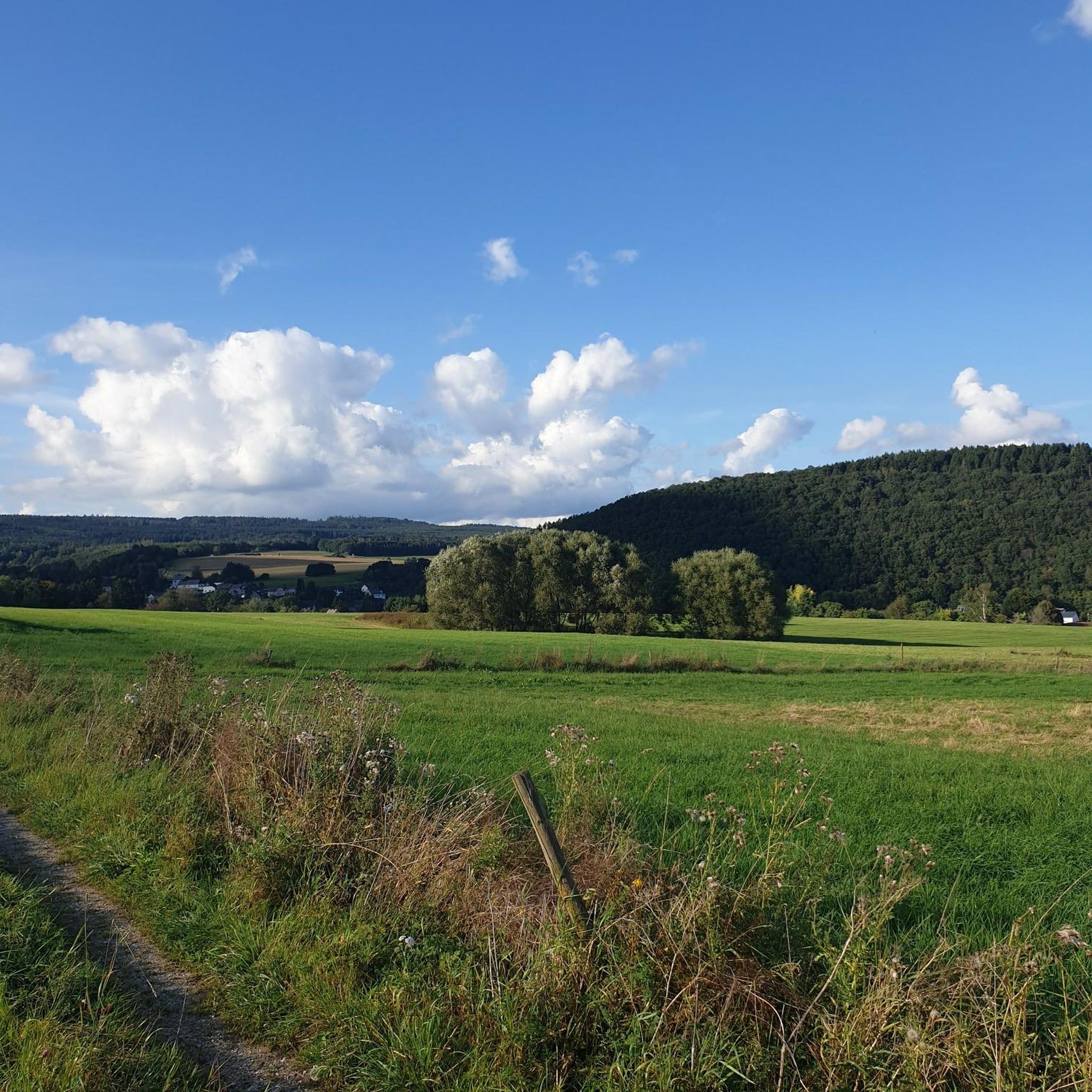
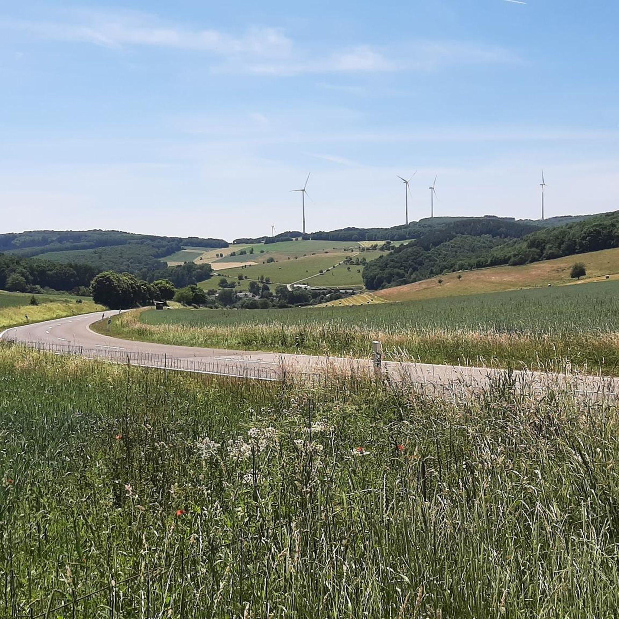
Jogging routes Wilzenberg-Hußweiler traverse a diverse natural landscape characterized by forests, rolling hills, and valleys. The region, part of the Saar-Nahe-Bergland, offers varied terrain suitable for different running preferences. Wilzenberg mountain provides opportunities for elevation changes, while the extensive Schwarzwälder Hochwald offers abundant shaded trails. The area's network of paths, including those along the Schwollbach River, creates a stimulating environment for runners.
Best jogging routes around Wilzenberg-Hußweiler
- The most popular jogging route is Staggsberg loop from Niederbrombach, a 6.4…
Last updated: July 10, 2026
11
runners
10.2km
01:06
150m
150m
Moderate run. Good fitness required. Mostly paved surfaces. Suitable for all skill levels.
8
runners
10.3km
01:07
170m
180m
Moderate run. Good fitness required. Mostly paved surfaces. Suitable for all skill levels.

Sign up for free
8
runners
7.60km
00:49
160m
160m
Moderate run. Good fitness required. Mostly paved surfaces. Suitable for all skill levels.
5.0
(1)
11
runners
11.5km
01:16
250m
250m
Moderate run. Good fitness required. Mostly paved surfaces. Suitable for all skill levels.
5
runners
10.3km
01:07
170m
170m
Moderate run. Good fitness required. Mostly paved surfaces. Suitable for all skill levels.
Get access to more routes and recommendations from other explorers.
Sign up for free
Already have an account?
Our route recommendations are based on thousands of hikes, rides, and runs completed by other people on komoot.
Start today with a free account
Your next adventure awaits.
Login or Signup
Tips from the Community


Seen here from [6:13]: https://youtu.be/6Szc1svoems
0
0


Small loop to the Weissenstein. Can be ridden quite well with the MTB.
1
0
In autumn you will definitely have a better view here.
1
0

Very nice trail. A little technical. What driving technique lovers.
1
0
Frequently Asked Questions
How many running routes are available in Wilzenberg-Hußweiler?
Wilzenberg-Hußweiler offers a wide selection of running routes, with over 150 trails available for exploration. These range from easy paths to more challenging runs, catering to various fitness levels.
Are there easy running routes suitable for beginners or families?
Yes, the region provides several easy running routes perfect for beginners or families. There are 13 routes classified as easy, offering gentle paths through the natural landscape. For example, the area around the Schwollbach River often features pleasant, less strenuous paths.
What kind of terrain can I expect on the jogging trails in Wilzenberg-Hußweiler?
You can expect a diverse terrain featuring forests, rolling hills, and valleys. Many routes traverse the extensive Schwarzwälder Hochwald, providing abundant shaded trails. You'll find a mix of forest paths, inclines, and descents, offering a dynamic running experience.
Are there any scenic viewpoints or landmarks along the running paths?
Absolutely. The region is rich in scenic spots. You might encounter panoramic views from the Erbeskopf, the highest point in Rhineland-Palatinate, or enjoy the expansive vistas from Kirschweiler Fortress. The Hattgenstein Observation Tower also offers great views.
Can I find circular running routes in the area?
Yes, many of the running routes in Wilzenberg-Hußweiler are circular, allowing you to start and end at the same point. Examples include the popular Staggsberg loop from Niederbrombach or the Weissenstein – Weißenstein loop from Leisel, which both offer varied terrain.
Are the running routes suitable for dogs?
Generally, the natural trails through forests and open areas are suitable for dogs, provided they are kept on a leash where required and you follow local regulations. The extensive wooded areas, particularly in the Schwarzwälder Hochwald, offer plenty of space for you and your canine companion to enjoy a run.
Are there any routes that pass by waterfalls?
Yes, you can find running routes that lead past beautiful waterfalls. Notable spots include the Katzenloch Waterfall and the Klausgraben Waterfall. These natural features add a refreshing element to your run.
What do other runners say about the trails in Wilzenberg-Hußweiler?
The running routes in Wilzenberg-Hußweiler are highly rated by the komoot community, with an average score of 4.4 stars from over 100 reviews. Runners often praise the diverse natural landscapes, the well-maintained paths, and the rewarding distant views found on many trails.
Are there options for longer, more challenging runs with significant elevation?
For those seeking a challenge, Wilzenberg-Hußweiler offers 13 difficult routes and 126 moderate routes with significant elevation changes. The Wilzenberg mountain itself, at 657 meters, provides opportunities for challenging uphill runs and rewarding panoramic views. Routes like the Running loop from Schwollen feature rolling hills and varied forest paths.
Is there parking available near the trailheads?
While specific parking details vary by trailhead, the region, being popular for outdoor activities, generally has designated parking areas near popular starting points for trails. It's advisable to check the individual route details on komoot for the most precise parking information.
Are there any unique natural features to explore while running?
Beyond the forests and hills, you can discover unique natural features such as the Ehlesbruch Moor Boardwalk. This wooden path allows you to run through a fragile moor landscape, offering a distinct and gentle running experience.
What is the best time of year for running in Wilzenberg-Hußweiler?
The region is beautiful year-round. Spring and autumn offer pleasant temperatures and vibrant scenery. In summer, the extensive wooded areas, particularly the Schwarzwälder Hochwald, provide abundant shaded trails, making it comfortable for longer runs. Winter running is also possible, with trails offering a serene, snow-covered landscape.
Are there any refreshment stops along the trails?
Yes, for longer runs, you might find refreshment points. The Deer Fountain (Hirsch-Tränke) is a known spot offering cool drinks by a stream, providing a welcome break during your jog.
Most popular routes around Wilzenberg-Hußweiler
Most popular attractions around Wilzenberg-Hußweiler

Get inspired with the komoot mobile app


Explore more
Browse the best Running Trails & Routes in other regions.
