The best running trails around Bresse-Sur-Grosne
4.5
(48)
951
runners
120
runs
Jogging routes around Bresse-Sur-Grosne offer a blend of tranquil riverside paths and varied terrains within the picturesque Grosne valley. The region is characterized by undulating paths, greenways, and a rich natural environment, including diverse flora and fauna. Historic sites and "old stones" are also present, providing scenic backdrops for running.
Best jogging routes around Bresse-Sur-Grosne
- The most popular jogging route is Sercy Castle Loop, a 4.3 miles (6.9 km) trail that takes about 45 minutes to complete, offering views…
Last updated: July 6, 2026
5.0
(1)
4
runners
6.96km
00:46
90m
90m
Moderate run. Good fitness required. Mostly paved surfaces. Suitable for all skill levels.
9
runners
Hard run. Very good fitness required. Mostly paved surfaces. Suitable for all skill levels.

Sign up for free
9
runners
12.0km
01:35
360m
360m
Hard run. Very good fitness required. Mostly paved surfaces. Suitable for all skill levels.
5
runners
Moderate run. Good fitness required. Mostly paved surfaces. Suitable for all skill levels.
8
runners
Hard run. Very good fitness required. Mostly paved surfaces. Suitable for all skill levels.
Get access to more routes and recommendations from other explorers.
Sign up for free
Already have an account?
Our route recommendations are based on thousands of hikes, rides, and runs completed by other people on komoot.
Start today with a free account
Your next adventure awaits.
Login or Signup
Tips from the Community

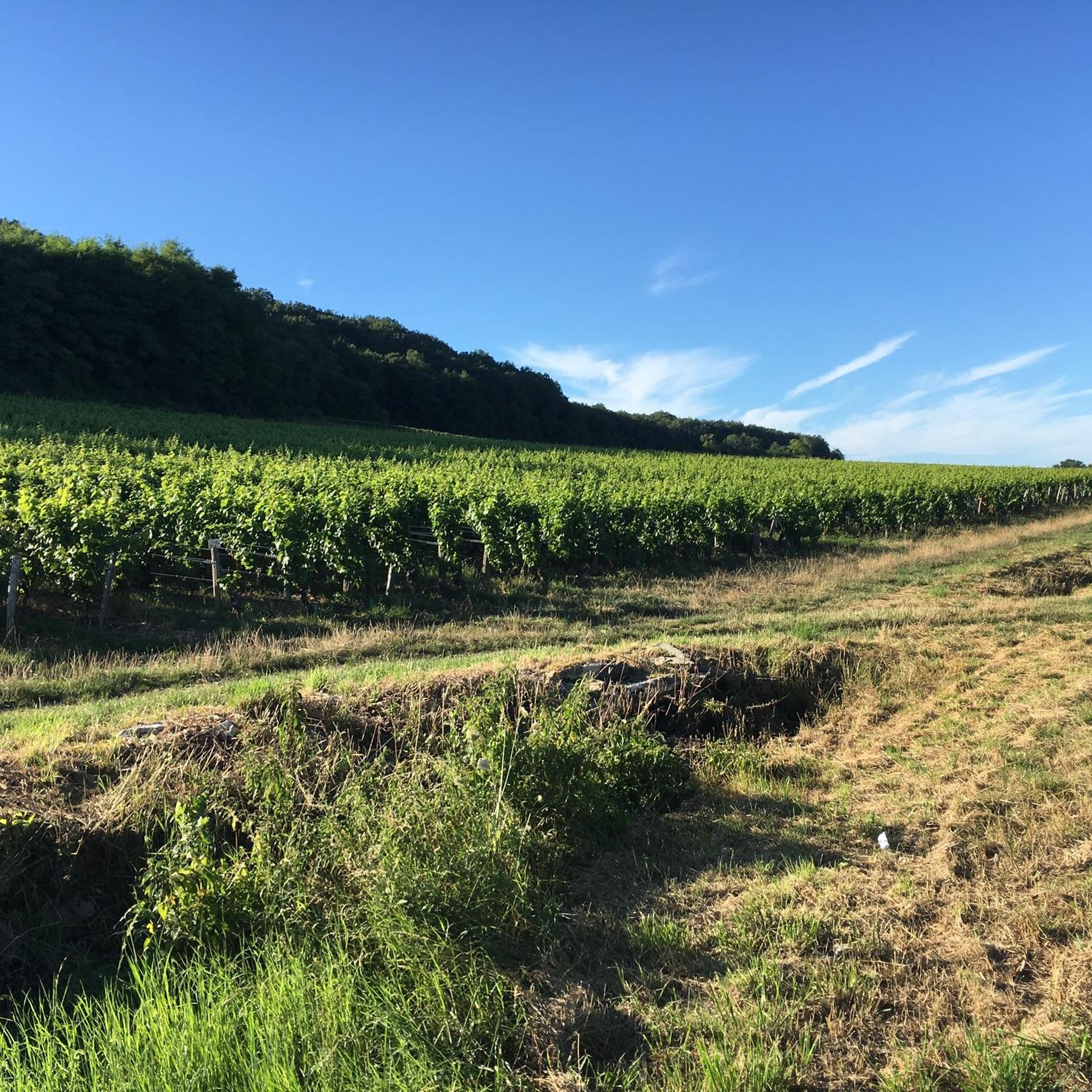
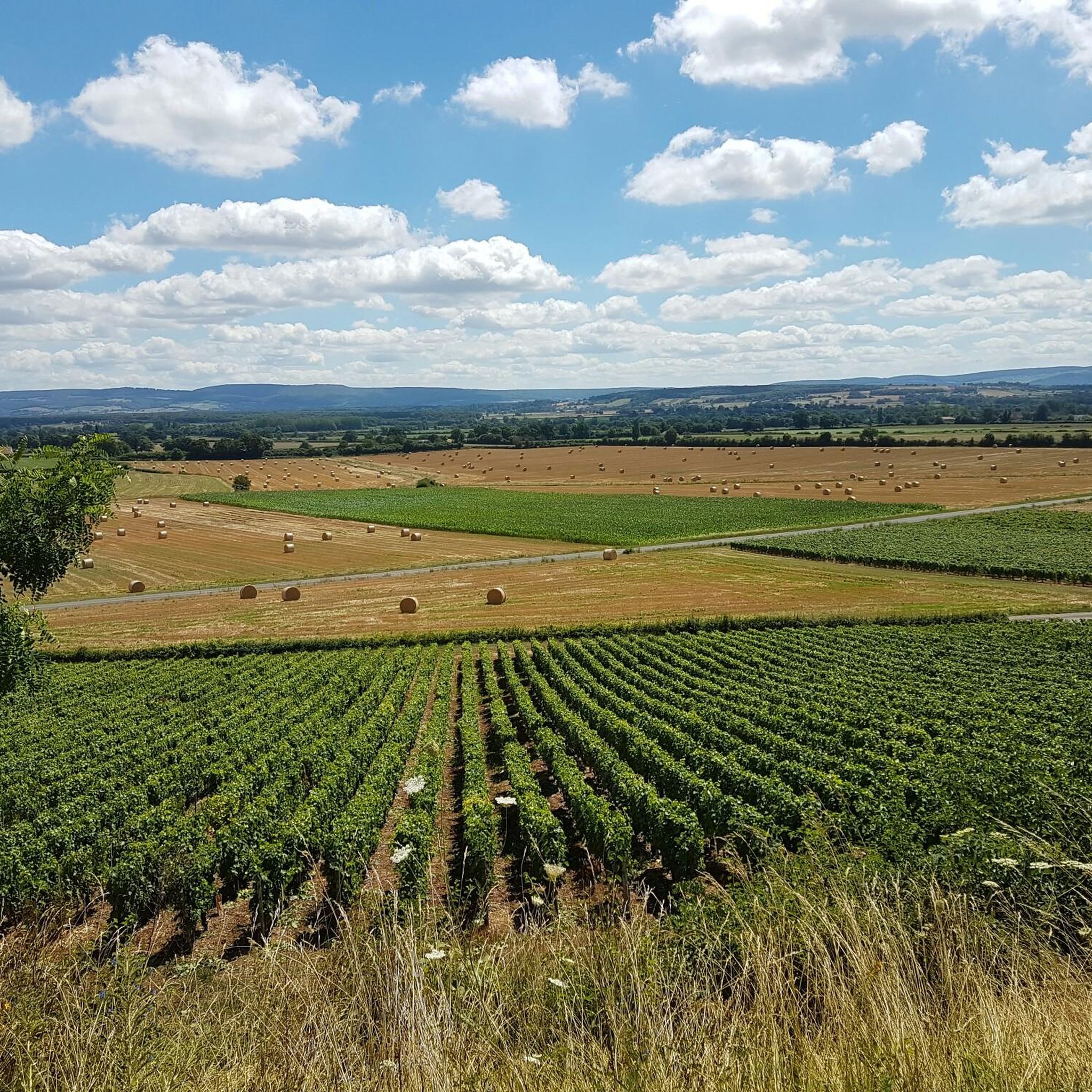
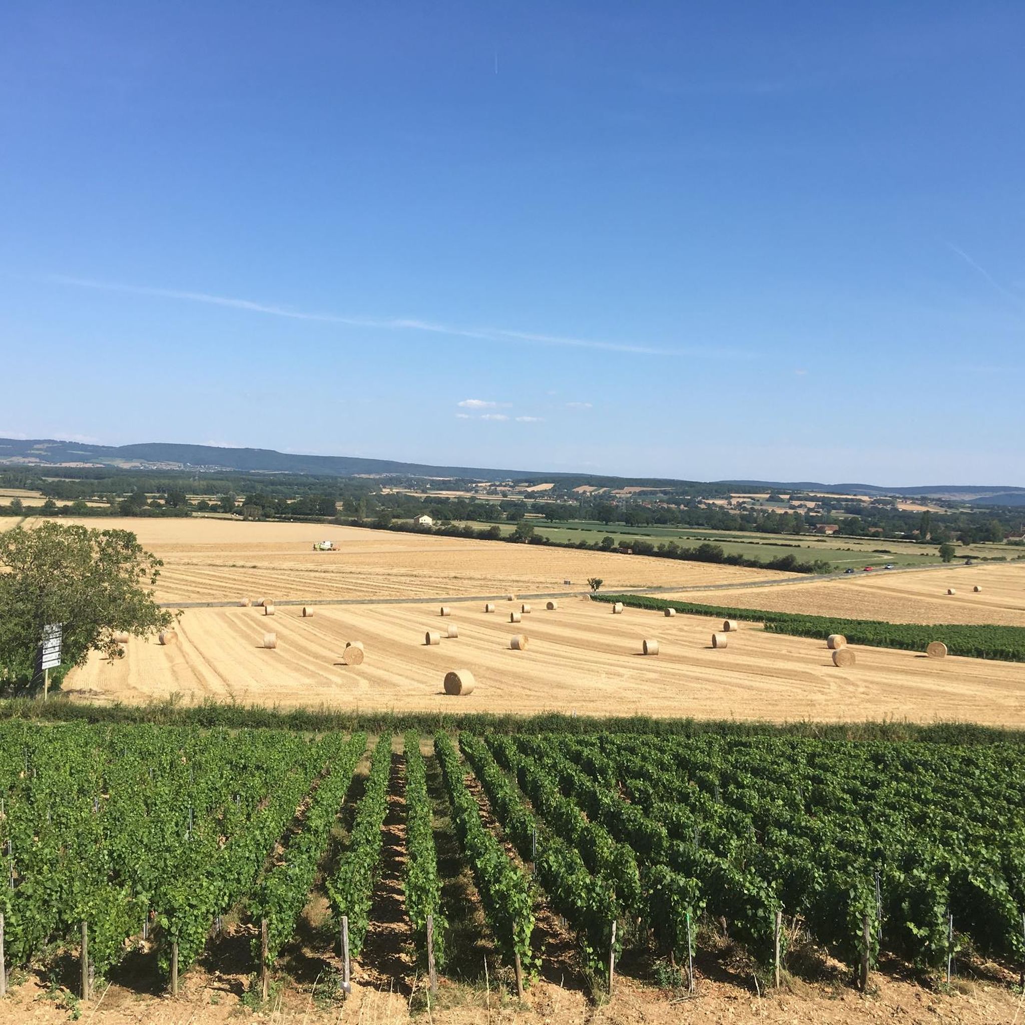
This location is part of a moderate circular hike starting from Mancey. The path there leads over easily walkable trails through nature and rewards hikers with this wide panoramic view over the French countryside.
0
0
The classic ascent from Mancey is considered a tough short climb in Category 3. Over a distance of 2.2 kilometers, 166 meters of altitude must be overcome. The average gradient is 7.55%, with peak sections of up to 14%. The path junction leads to various hiking trails and gravel paths through the wooded and wine-rich hilly landscape of the Mâconnais.
0
0
The Crainseny Viaduct (French: Viaduc de Crainseny) is a historic railway bridge in the south of the Côte Chalonnaise region. The viaduct was built in 1882. It has a total length of 246 meters, spans the valley at a height of around 23 meters, and features a distinctive curve with a radius of 400 meters. The masonry bridge consists of 16 elegant round arches, each with a span of 12 meters. Originally, the railway ran here on the Étiveau-Montchanin line, connecting the towns of Saint-Gengoux-le-National and Montchanin. Train services were discontinued in 1969.
0
0
The imposing church was originally built in the 12th century by the monks of the Abbey of Cluny. It officially belongs to the Cluniac sites and is on the candidate list for UNESCO World Heritage. The building combines different architectural eras. While the striking transept and the octagonal bell tower date from the Romanesque era, the three-aisled choir visible in the background shows Gothic features. A central eye-catcher in the sanctuary is the large, colorful neo-Gothic church window, which casts a soft light into the elongated interior. Along the mighty pillars of the nave, detailed sculptures and reliefs on the capitals can be seen in the foreground.
0
0
The pass is located on Rue des Maquisards in the municipality of Nanton. It is a popular destination for cycling tours. The ascent from the municipality of Mancey covers a distance of 2.2 kilometers. Cyclists overcome 166 meters of altitude on this tough route with an average gradient of 7.55%. The surrounding area also offers a versatile network of trails for easy to medium-difficulty hikes through rolling hills, mixed forests, and to nearby viewpoints such as Roche d'Aujou.
0
0
The rock, located at an altitude of just under 480 meters, offers a wide panorama over the Grosne valley. In addition to its scenic beauty, the place is historically significant: during World War II, it served as a secret hiding place for young members of the French Resistance.
0
0


A very beautiful piece of work, a testament to the local railway era.
1
0
Frequently Asked Questions
How many running routes are available around Bresse-Sur-Grosne?
There are over 115 jogging routes available around Bresse-Sur-Grosne, offering a wide variety of options for different preferences and fitness levels.
What kind of terrain can I expect on the running trails in this region?
The running trails around Bresse-Sur-Grosne feature a blend of tranquil riverside paths along the Grosne River, undulating terrain, and greenways. You'll find diverse natural scenery, including varied forest and rural landscapes, providing a refreshing environment for any outdoor activity.
What do other runners say about the routes in Bresse-Sur-Grosne?
The routes in Bresse-Sur-Grosne are highly rated by the komoot community, with an average score of 4.4 stars from over 30 reviews. More than 800 runners have used komoot to explore the varied terrain, often praising the picturesque landscapes and diverse options.
Are there routes suitable for beginners or easy runs?
Yes, Bresse-Sur-Grosne offers several easy jogging routes. There are 9 routes specifically graded as easy, perfect for those new to running or looking for a relaxed pace.
Are there more challenging running routes for experienced runners?
Absolutely. For experienced runners seeking a challenge, there are 29 difficult routes available. An example is the Fontaine du Vernay loop from Étiveau, an 18.9 km path with significant elevation gain and diverse natural scenery.
Are the running routes around Bresse-Sur-Grosne dog-friendly?
Many of the natural paths and greenways in the Bresse-Sur-Grosne area are suitable for running with dogs. However, it's always recommended to check specific route details on komoot for any restrictions or local regulations, especially when passing through private land or nature reserves.
Can I find family-friendly jogging paths in Bresse-Sur-Grosne?
Yes, the region offers several paths that are suitable for families. The tranquil riverside paths and less challenging greenways provide a pleasant environment for family outings. Look for routes graded as 'easy' or 'moderate' for the most suitable options.
What historical sites or landmarks can I see while jogging?
The region is rich in history. You might encounter the Sercy Castle along the Sercy Castle Loop. Other notable historical sites in the broader area include Cormatin Castle with its extensive gardens, and various Romanesque churches like the Sainte-Marie-Madeleine Church in Taizé or the Church of the Assumption of Ameugny.
Are there any scenic viewpoints along the running trails?
Yes, some routes offer excellent viewpoints. For example, the Roche d'Aujou viewpoint – Col de Navois loop from Étrigny provides scenic vistas, allowing you to enjoy the picturesque landscapes of the Grosne valley and the surrounding Burgundy region.
Is parking available near the running trails in Bresse-Sur-Grosne?
Parking is generally available in or near the villages where many routes begin, such as Bresse-sur-Grosne itself or Saint-Gengoux-le-National. Specific parking information can often be found in the details of individual komoot tours.
What is the best time of year to go jogging in Bresse-Sur-Grosne?
The natural beauty of Bresse-Sur-Grosne makes it suitable for jogging throughout much of the year. Spring and autumn offer pleasant temperatures and vibrant scenery, while summer provides longer daylight hours. Even in winter, the trails can be enjoyable, though conditions may vary.
Are there any circular running routes in the area?
Yes, many of the running routes around Bresse-Sur-Grosne are designed as circular loops, allowing you to start and finish in the same location. A popular example is the Sercy Castle Loop, which is a moderate 6.9 km circular trail.
Most popular routes around Bresse-Sur-Grosne
Most popular attractions around Bresse-Sur-Grosne

Get inspired with the komoot mobile app


Explore more
Browse the best Running Trails & Routes in other regions.
