The best MTB trails around Saint-Germain-En-Brionnais
4.4
(28)
68
riders
20
rides
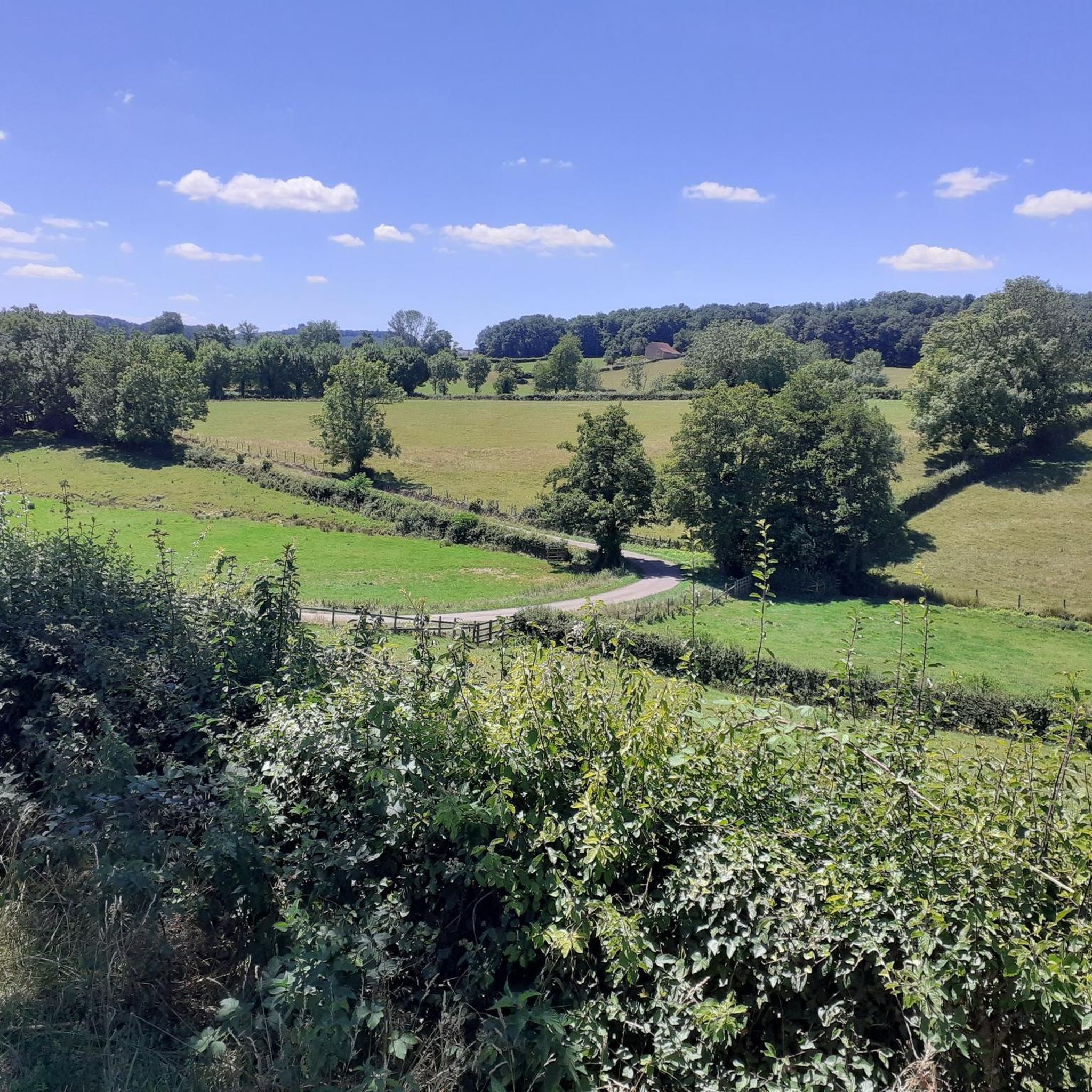
Mountain bike trails around Saint-Germain-En-Brionnais traverse a landscape often called "Petite Irlande" due to its lush green pastures, dry stone walls, and hedged farmlands. The region features rolling hills, offering both descents and climbs, with wooded horizons. Significant hills like Butte de Suin, Montagne de Dun, and Montagne St-Cyr provide panoramic views. The terrain also includes numerous ponds and old grain mills.
Best mountain bike trails around Saint-Germain-En-Brionnais
- The most popular mountain bike trail is Anzy loop from Oyé,…
Last updated: June 27, 2026
4.3
(4)
8
riders
39.3km
03:17
690m
690m
Moderate mountain bike ride. Good fitness required. Suitable for all skill levels.
4.2
(6)
11
riders
32.1km
02:47
620m
620m
Moderate mountain bike ride. Good fitness required. Advanced riding skills necessary.

Sign up for free
3.0
(1)
3
riders
25.9km
01:53
380m
380m
Moderate mountain bike ride. Good fitness required. Advanced riding skills necessary.
5
riders
46.5km
04:33
1,250m
1,250m
Hard mountain bike ride. Very good fitness required. Advanced riding skills necessary.
5.0
(1)
2
riders
18.0km
01:43
500m
500m
Moderate mountain bike ride. Good fitness required. Suitable for all skill levels.
Get access to more routes and recommendations from other explorers.
Sign up for free
Already have an account?
Our route recommendations are based on thousands of hikes, rides, and runs completed by other people on komoot.
Start today with a free account
Your next adventure awaits.
Login or Signup

Tips from the Community

Mont Saint-Cyr is located in southern Burgundy (Département Saône-et-Loire) in the municipality of Montmelard and, at 771 meters, is the highest point in the Mâconnais mountains. From the summit, there is a wide panoramic view of the surrounding landscapes of Charolais, Brionnais, and Clunisois. In very clear weather, the view to the east even extends to Mont Blanc in the Alps. On the mountain are the historical remains of a 10th-century monastery that was destroyed during the Huguenot Wars. There is a picnic area in the forest, as well as orientation panels that are helpful in identifying the surrounding peaks and valleys.
0
0
Mont Saint-Cyr is located in southern Burgundy (Saône-et-Loire department) in the municipality of Montmelard and, at 771 meters, is the highest point of the Mâconnais mountains. From the summit, there is a wide panoramic view of the surrounding landscapes of Charolais, Brionnais, and Clunisois. In very clear weather, the view extends eastwards to Mont Blanc in the Alps. On the mountain are the historical remains of a 10th-century monastery, which was destroyed during the Huguenot Wars. There is a picnic area in the forest as well as orientation panels that are helpful in identifying the surrounding peaks and valleys.
0
0


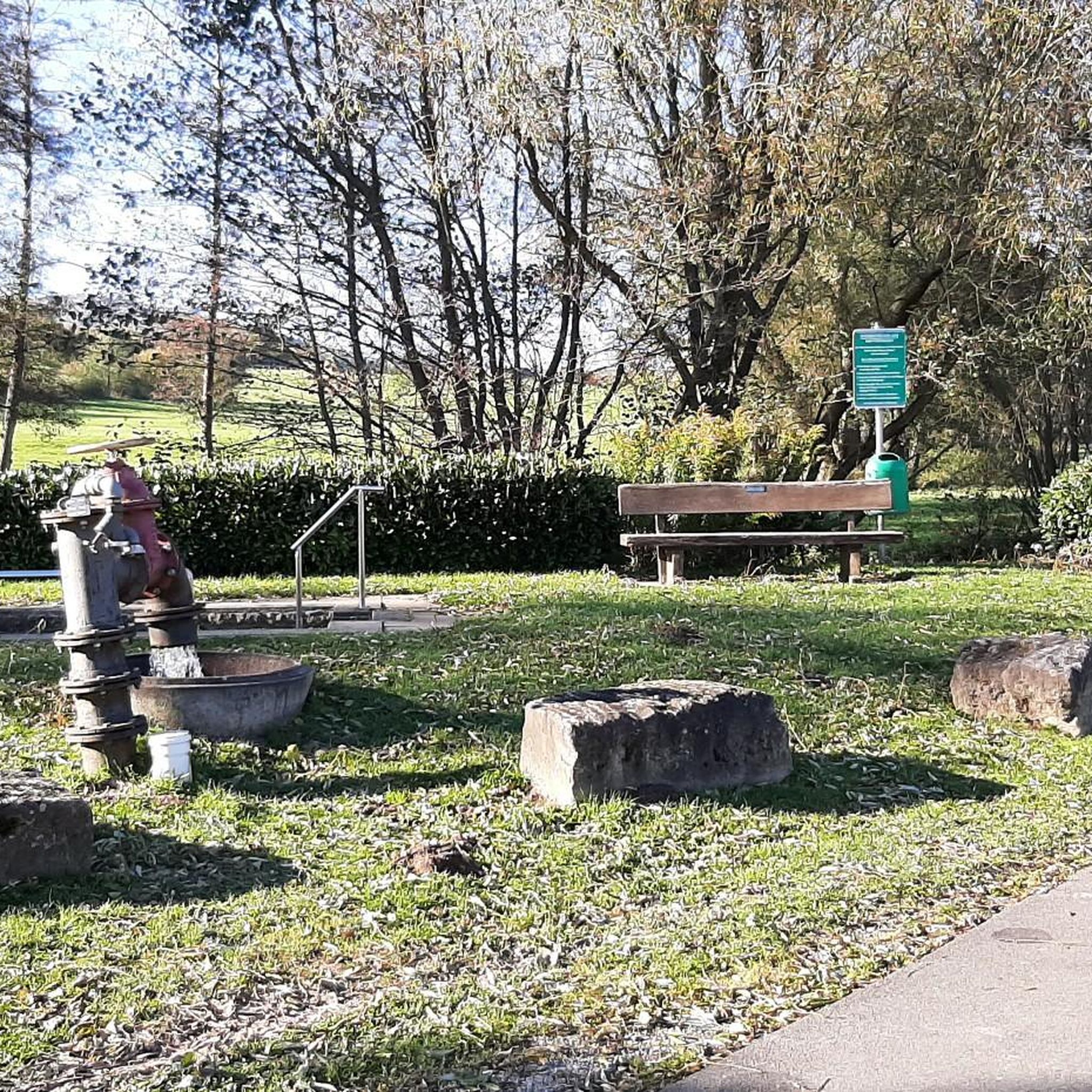
Great walk. Beautiful view with picnic tables and tap with drinking water. However, NOT an easy walk. You must be able to walk well.
0
0

Impressive views over southern Burgundy and Haut-Beaujolais
1
0

This priory church is classified as a historic monument. It was built between the end of the 11th century and the beginning of the 12th. Its octagonal bell tower is characteristic and the church is among the most beautiful expressions of Romanesque art in the department. The sculptures are particularly numerous.
1
0

A very steep climb from Montmelard, not much fun by bike. View is good, best very early or in the evening.
1
0

This summit houses a chapel, but it was previously a strong defensive position. From the Arab invasions in 730 to the successive Norman and Hungarian invasions, this stronghold has resisted. It was not until 1180 that the fortress fell into the hands of King Philippe Auguste, who destroyed it but spared the chapel. The summit offers magnificent views.
3
0
Frequently Asked Questions
How many mountain bike trails are available around Saint-Germain-En-Brionnais?
There are 19 mountain bike trails around Saint-Germain-En-Brionnais listed on komoot. The broader Brionnais region, which Saint-Germain-En-Brionnais is part of, boasts the "Brionnais Découvertes - Sites VTT FFC" network with 25 marked circuits covering approximately 500 kilometers.
What kind of landscape can I expect while mountain biking in Saint-Germain-En-Brionnais?
The area is often called "Petite Irlande" (Little Ireland) due to its lush green pastures, traditional dry stone walls, and hedged farmlands. You'll encounter rolling hills, offering both exhilarating descents and challenging climbs, with horizons often wooded. The terrain also features numerous ponds and old grain mills, adding to its scenic appeal.
What are the difficulty levels of mountain bike trails in the area?
The trails cater to various skill levels. On komoot, you'll find 3 easy routes and 16 moderate routes. The wider Brionnais VTT FFC network categorizes trails as green (easy), blue (moderate), red (difficult), and black (very difficult), ensuring options for beginners and experienced riders alike.
Are there any family-friendly mountain bike trails in Saint-Germain-En-Brionnais?
Yes, there are 3 easy mountain bike routes listed on komoot that are suitable for families or those looking for a less strenuous ride. These trails typically navigate the gentler parts of the rolling hills and picturesque countryside.
What do other mountain bikers say about the trails in Saint-Germain-En-Brionnais?
The mountain bike routes in Saint-Germain-En-Brionnais are highly rated by the komoot community, with an average score of 4.3 stars from more than 20 reviews. Over 60 mountain bikers have used komoot to explore the varied terrain, often praising the lush green landscapes and diverse routes.
Are there mountain bike trails with panoramic views?
Absolutely. The region features significant peaks such as the Butte de Suin, Montagne de Dun, and Montagne St-Cyr, which provide expansive panoramic views. On clear days, you might even catch a glimpse of Mont Blanc from these vantage points.
Are there any circular mountain bike routes?
Yes, many of the mountain bike trails in the area are circular. For example, the Anzy loop from Oyé is a popular moderate route. Another option is the Étang de Beauvernay – Bois du Cerne loop from La Clayette - Baudemont, which takes you through wooded areas and past local ponds. The historical "Circuit des Moulins" is also a moderate loop starting and ending in Saint-Germain-en-Brionnais.
What historical or natural attractions can I see along the mountain bike trails?
Beyond the natural beauty of the "Petite Irlande" landscape, you can encounter historical sites. The village itself features an 11th-century Romanesque church. Along the trails, you might pass by landmarks such as the Montrouant Castle, or catch a View of Château de La Clayette. The region is also dotted with numerous ponds and old grain mills.
Is there parking available for mountain bikers?
While specific parking spots for each trail are not detailed here, the broader "Brionnais Découvertes - Sites VTT FFC" network is well-supported with amenities, which typically include designated parking areas at trailheads. For routes starting directly from Saint-Germain-en-Brionnais, village parking would be the most convenient option.
What is the best season for mountain biking in Saint-Germain-En-Brionnais?
The lush green pastures suggest that spring, summer, and early autumn would be ideal seasons for mountain biking in Saint-Germain-En-Brionnais. During these times, the weather is generally pleasant, and the landscape is at its most vibrant. Always check local weather conditions before heading out.
Are there any long mountain bike routes for experienced riders?
Yes, for experienced riders looking for longer routes, the area offers several options. The Anzy loop from Oyé is a moderate 39.3 km (24.4 miles) trail. Another substantial route is the Saint Hugues Castle loop from Saint-Christophe-en-Brionnais, which covers 32.1 km (19.9 miles) with varied terrain.
Are there facilities like bike wash points in the region?
Yes, the "Brionnais Découvertes - Sites VTT FFC" network, which encompasses trails around Saint-Germain-En-Brionnais, is well-supported with amenities including bike wash points. This makes it convenient to clean your bike after exploring the trails.
Most popular routes around Saint-Germain-En-Brionnais
Most popular attractions around Saint-Germain-En-Brionnais

Get inspired with the komoot mobile app


Explore more
Browse the best MTB trails in other regions.
