The best walks and hikes around Saint-Didier-Sur-Arroux
4.6
(676)
2,889
hikers
147
hikes
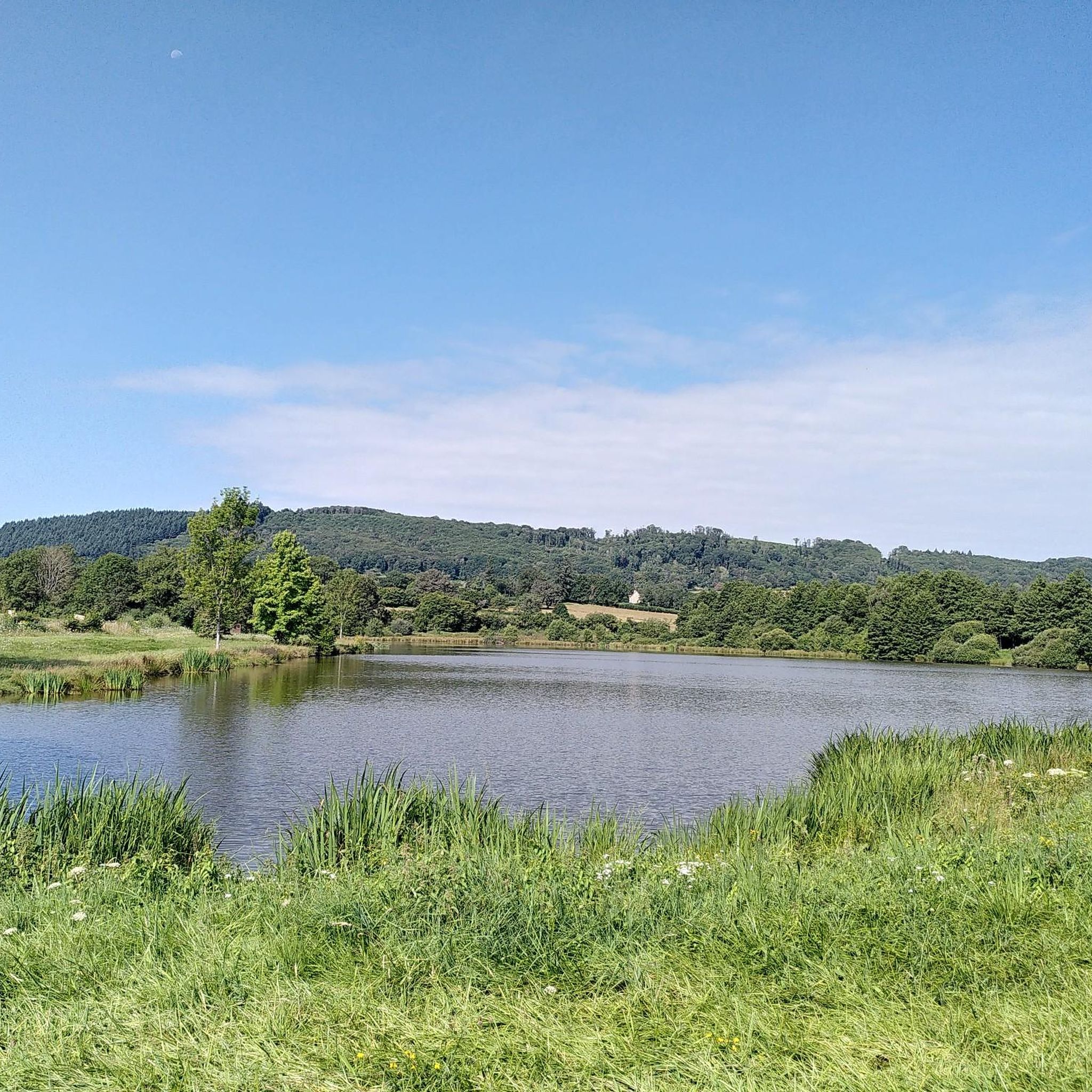
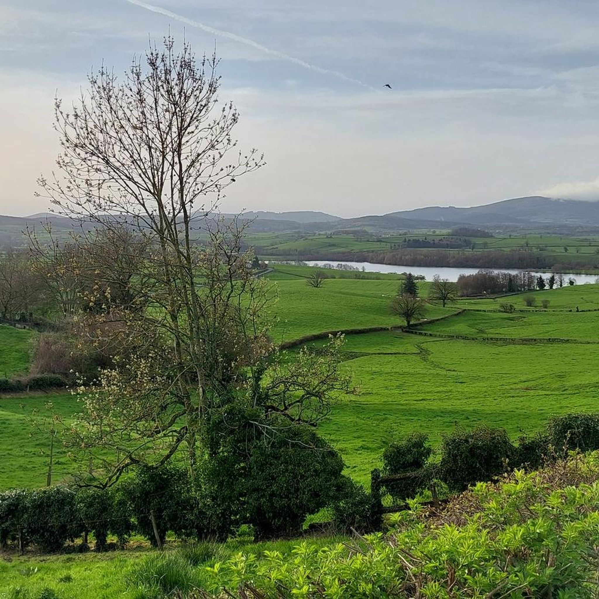
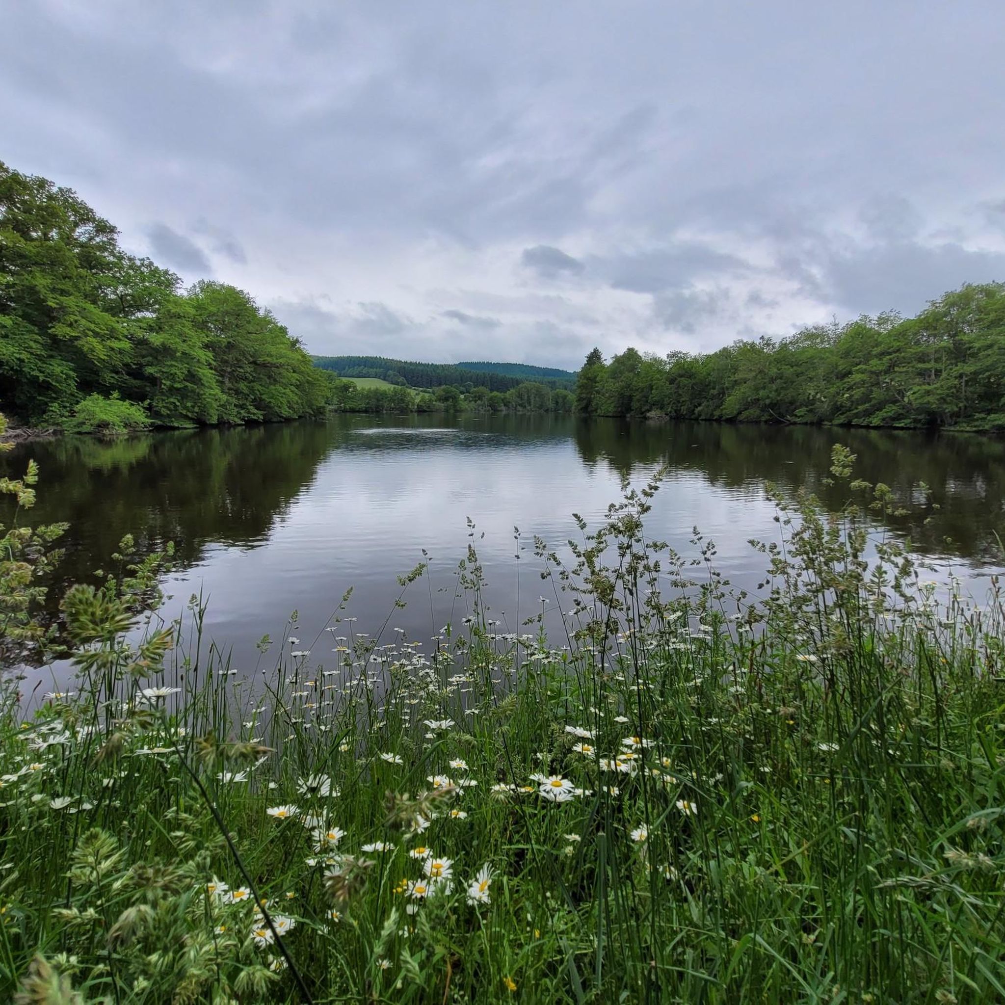
Hiking around Saint-Didier-Sur-Arroux offers diverse landscapes in the Saône-et-Loire department of eastern France. The region is characterized by its proximity to the Morvan Regional Natural Park, featuring rolling hills, valleys, and waterways. Trails explore the Morvan Countryside and the Hills of the Arroux, providing varied terrain for outdoor activities.
Best hiking trails around Saint-Didier-Sur-Arroux
- The most popular hiking route is View of the Morvan Countryside – View of the Morvan Countryside loop from La Gagère, a 2.7 miles (4.3…
Last updated: July 6, 2026
4.4
(33)
95
hikers
Easy hike. Great for any fitness level. Easily-accessible paths. Suitable for all skill levels.
4.2
(17)
51
hikers
7.40km
02:11
210m
210m
Moderate hike. Good fitness required. Easily-accessible paths. Suitable for all skill levels.

Sign up for free
4.9
(11)
30
hikers
12.1km
03:25
270m
270m
Moderate hike. Good fitness required. Easily-accessible paths. Suitable for all skill levels.
4.8
(12)
31
hikers
Moderate hike. Good fitness required. Easily-accessible paths. Suitable for all skill levels.
4.6
(12)
26
hikers
13.7km
03:50
270m
270m
Moderate hike. Good fitness required. Easily-accessible paths. Suitable for all skill levels.
Get access to more routes and recommendations from other explorers.
Sign up for free
Already have an account?
Our route recommendations are based on thousands of hikes, rides, and runs completed by other people on komoot.
Start today with a free account
Your next adventure awaits.
Login or Signup

Tips from the Community

To be allowed to enter the campsite you must have an NFN card
0
0

A little further around the lake, there is a bench😘
0
0

From this small pass, we have a very clear view of the hills above Cuzy.
0
0
Modest but steep mountain to the south of the Morvan, with its remains of a Gallic oppidum at its summit (513m). The access path from La Boutrille is very steep.
0
0

Beautiful walk through meadows and forests
0
0
Wet grass, so a mat or something is useful.
0
0
Frequently Asked Questions
How many hiking trails are available around Saint-Didier-Sur-Arroux?
There are over 140 hiking routes around Saint-Didier-Sur-Arroux, offering a wide range of options for different fitness levels. This includes 51 easy routes, 87 moderate routes, and 6 more challenging trails.
What kind of terrain can I expect on hikes in this region?
The terrain around Saint-Didier-Sur-Arroux is characterized by rolling hills, diverse valleys, and waterways, as it borders the Morvan Regional Natural Park. You'll find trails exploring the Morvan Countryside and the Hills of the Arroux, with elevation gains varying from gentle slopes to over 300 meters on some moderate routes.
Are there any easy, family-friendly hikes suitable for beginners?
Yes, there are many easy routes. For a gentle introduction to the area, consider the View of the Morvan Countryside loop from La Gagère. This 4.3 km trail takes about 1 hour 13 minutes to complete and is suitable for most abilities.
What are some notable natural features or landmarks to see while hiking?
The region offers several natural and historical points of interest. You can explore the picturesque Arroux Valley and the serene Bousson pond, which is featured in the 'Autour de l'Etang' walk. Don't miss the Signal d'Uchon – Rochers du Carnaval, known for its colossal granite blocks, or the Signal d'Uchon summit for panoramic views of the Morvan.
Are there any circular hiking routes in Saint-Didier-Sur-Arroux?
Yes, many routes in the area are circular. For example, the View of the Morvan Countryside loop from La Goulette is a moderate 14.4 km circular trail with over 340 meters of elevation gain, offering extensive views.
What do other hikers say about the trails in Saint-Didier-Sur-Arroux?
The hiking routes in Saint-Didier-Sur-Arroux are highly rated by the komoot community, with an average score of 4.6 stars from over 600 reviews. Hikers often praise the diverse landscapes, the peaceful atmosphere of the Morvan countryside, and the variety of trails available for all skill levels.
Are there any longer, more challenging hikes for experienced trekkers?
While most trails are easy to moderate, some offer a greater challenge. The Campground entrance – View of the Hills Above Cuzy loop from La Gagère is a moderate 13.6 km route with over 270 meters of elevation gain, providing a longer and more strenuous experience.
Can I find historical sites or museums near the hiking trails?
Yes, the region is rich in history. You can visit the Mont Beuvray and Bibracte Archaeological Site, an ancient Gallic oppidum, or explore the Bibracte Museum to learn more about Celtic history. These sites are accessible from various points in the area.
What is the typical duration for hikes in this area?
Hike durations vary significantly depending on the route and your pace. Easy trails like the 4.3 km 'View of the Morvan Countryside loop' can take just over an hour, while longer moderate routes such as the 12.1 km Campground entrance – La Planche loop from La Gagère typically require around 3 hours and 25 minutes.
Are there any specific valleys or natural areas worth exploring?
Absolutely. The region is known for its beautiful valleys. The Arroux Valley forms a transitional landscape between the Morvan and the Autunois mountains, offering varied topography. You can also explore the Vallée de la Braconne, which has an itinerary starting directly from Saint-Didier-sur-Arroux.
Is there a specific trail that highlights the Morvan Countryside?
Many trails offer views of the Morvan Countryside. The Campground entrance loop from La Gagère is a moderate 7.4 km path that provides varied terrain and scenic vistas of the Morvan, with an elevation gain of over 200 meters.
Most popular routes around Saint-Didier-Sur-Arroux
Most popular attractions around Saint-Didier-Sur-Arroux

Get inspired with the komoot mobile app


Explore more
Browse the best Hikes in other regions.
