The best mountain hikes around Karl
5.0
(84)
357
hikers
6
hikes
Mountaineering routes around Karl are situated within a landscape characterized by volcanic formations, river valleys, and historic landmarks. The region features varied terrain, including forested paths, open trails, and ascents to notable viewpoints. These routes often incorporate natural features such as the Kleine Kyll river and the Windsborn Crater, alongside historical sites like Oberburg Castle. The area provides a diverse environment for mountaineering, with options ranging from moderate to difficult.
Best mountaineering routes around Karl
- The most popular mountaineering route…
Last updated: October 5, 2026
5.0
(9)
31
hikers
Hard mountaineering route. Good fitness required. Sure-footedness, sturdy shoes and alpine experience required.
5.0
(5)
28
hikers
Hard mountaineering route. Great for any fitness level. Sure-footedness, sturdy shoes and alpine experience required.

7
hikers
Hard mountaineering route. Great for any fitness level. Sure-footedness, sturdy shoes and alpine experience required.
5.0
(1)
3
hikers
Moderate mountaineering route. Good fitness required. Easily-accessible paths. Suitable for all skill levels.
2
hikers
10.7km
03:10
300m
300m
Moderate mountaineering route. Good fitness required. Mostly accessible paths. Sure-footedness required.
Our route recommendations are based on thousands of hikes, rides, and runs completed by other people on komoot.
Start today with a free account
Your next adventure awaits.
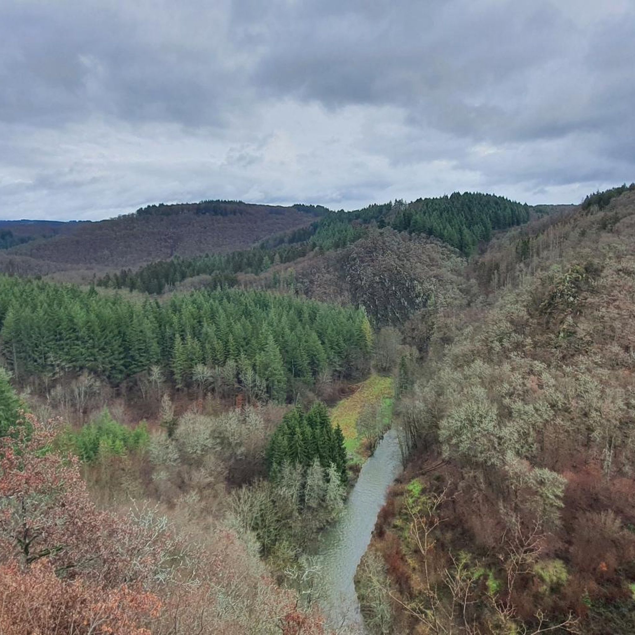
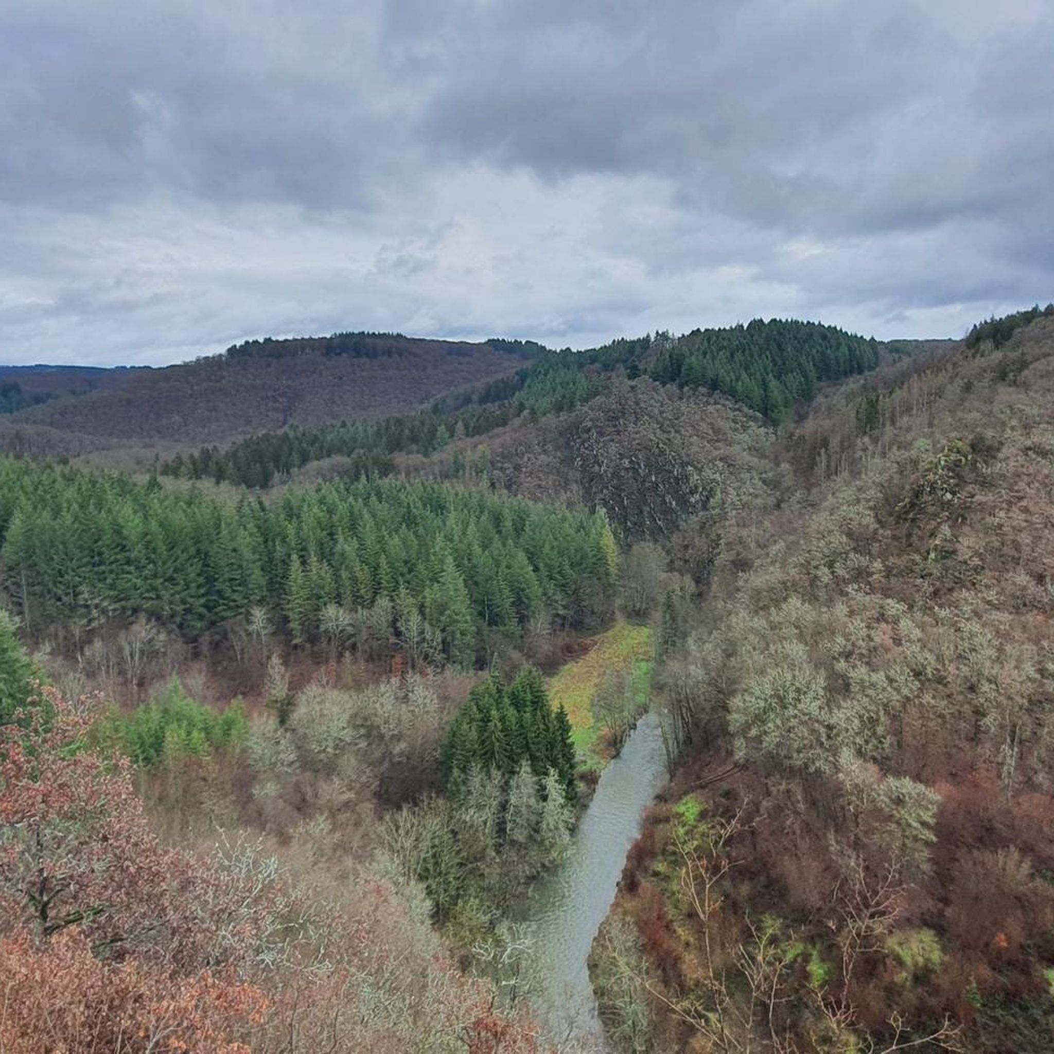
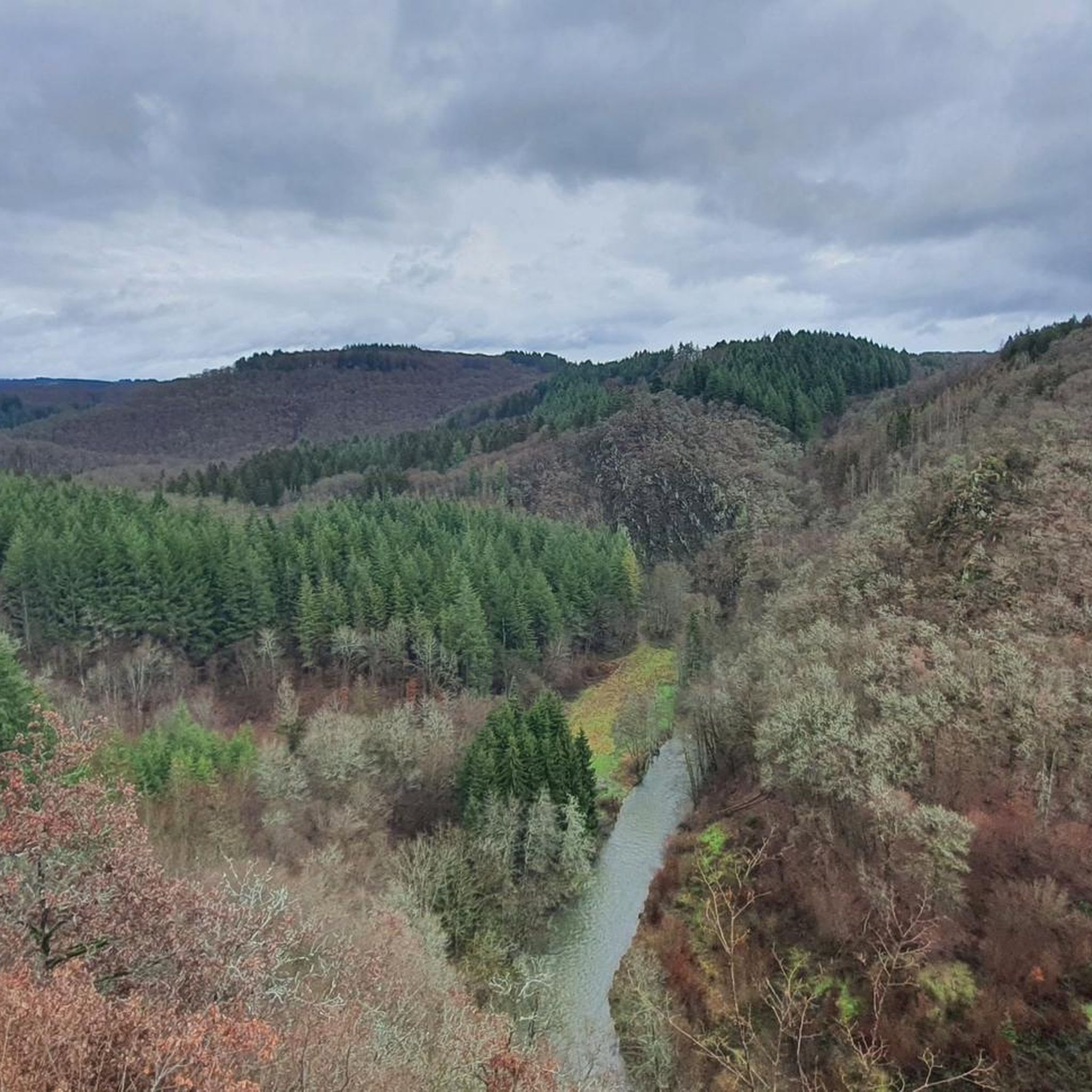
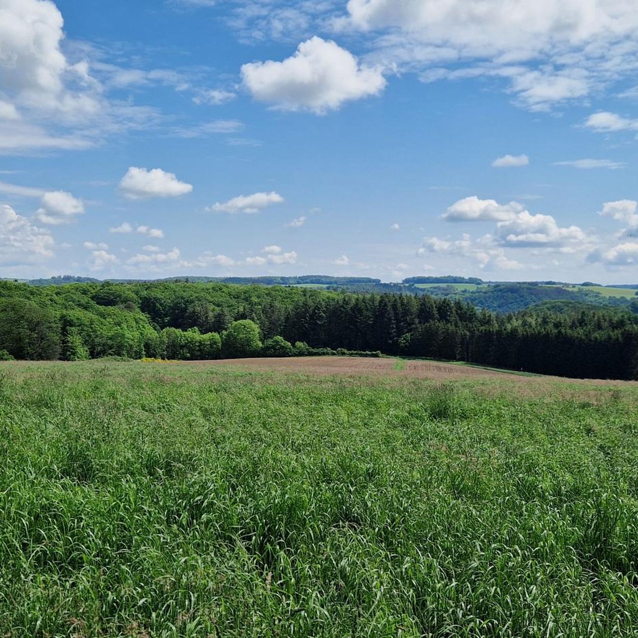
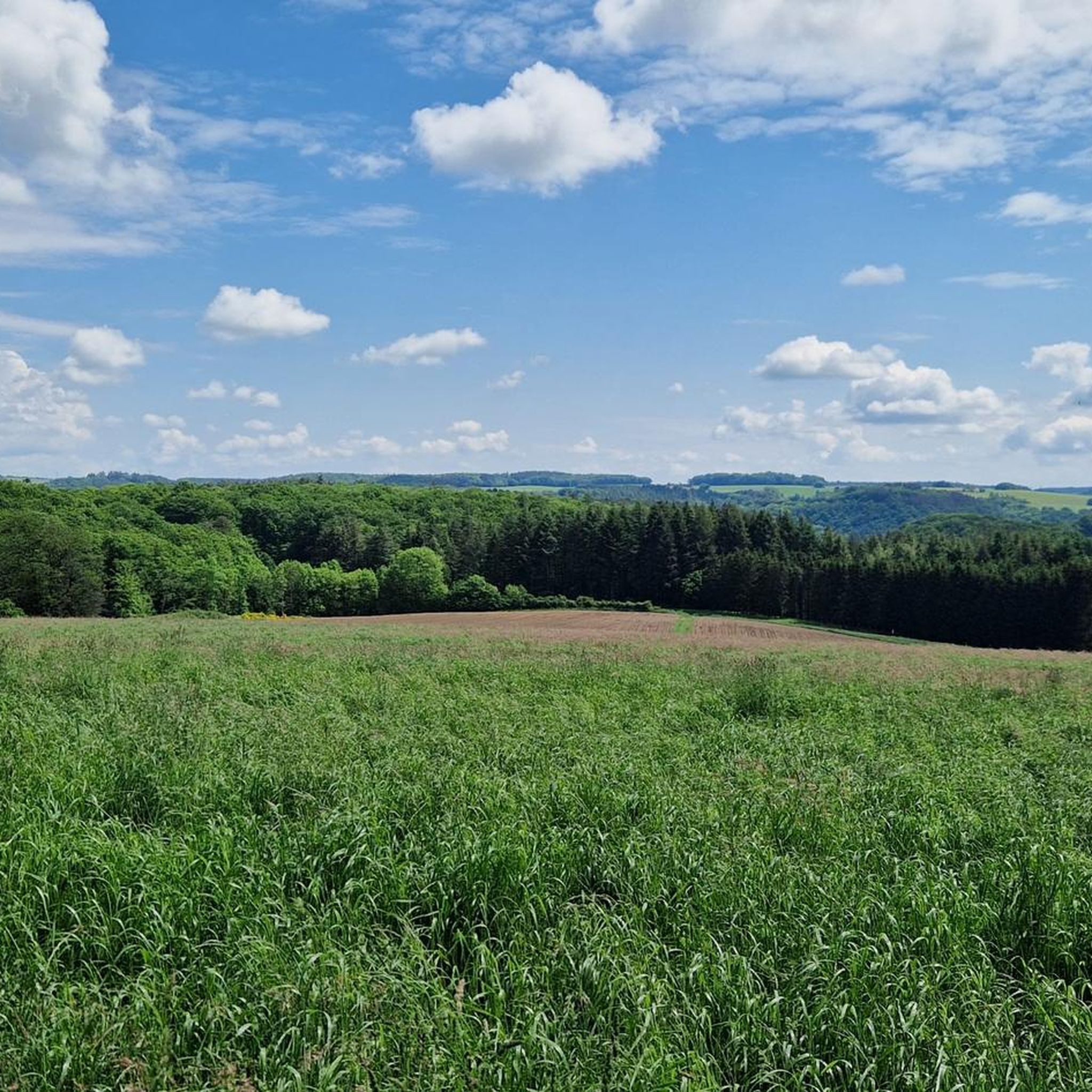
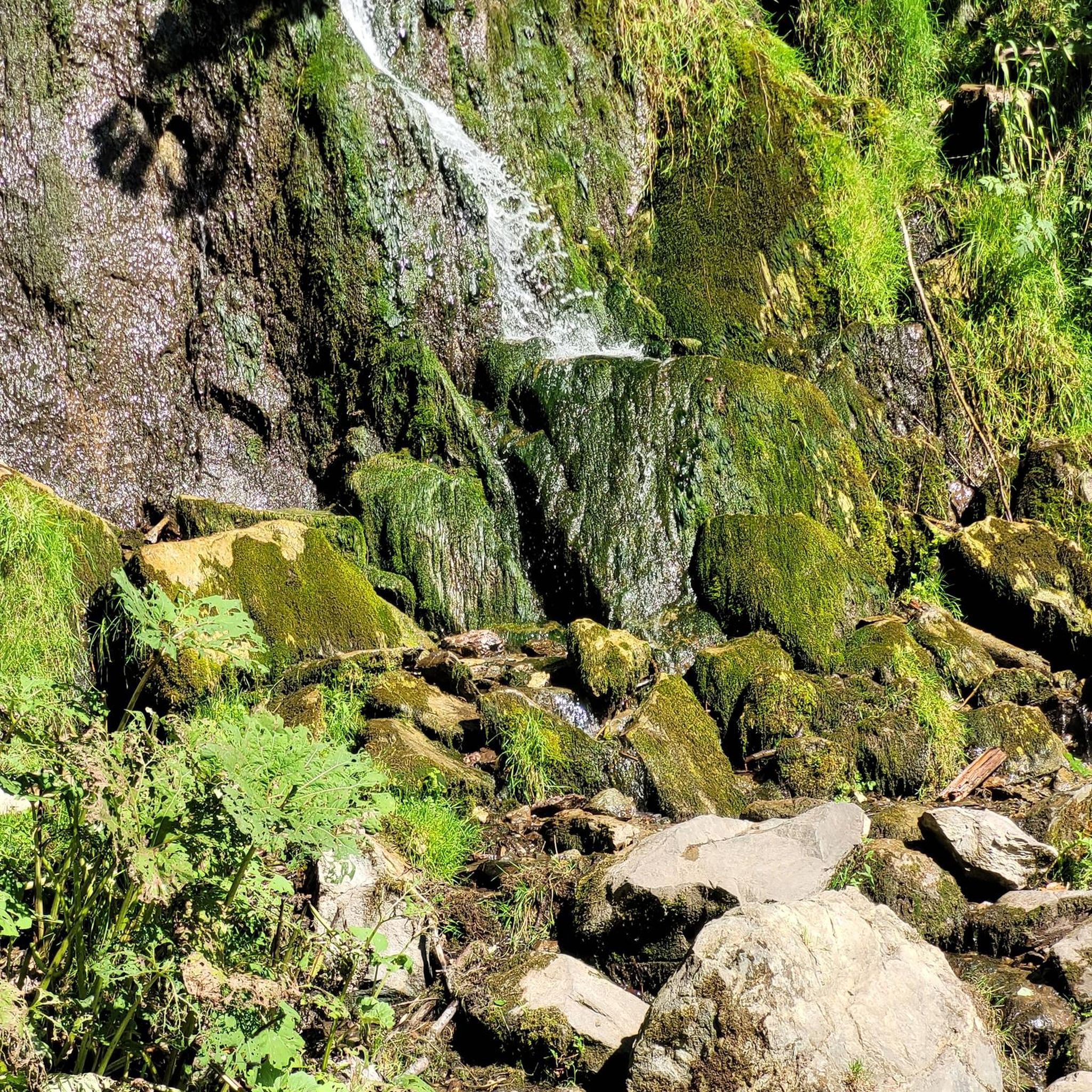
Tips from the Community

Pace yourself well if you are a beginner! Possibly don't do all 3 stages. Otherwise TIP: Start early! I always leave at 6, half past 6. Then there are still few people. Afterwards it quickly gets crowded. This way you are alone at the summit around 10 am with your well-deserved summit beer and can enjoy the sunrise along the way. Pure Eifel! 🌄
0
0
Perfect trail with various difficulties, there is something for everyone. Best to start veeery early! I always set off at 6, half past 6, because later it's always hellish. Unfortunately, it's slowly becoming a bit overcrowded, but in the early morning it's still "pure Eifel": the rushing of the Lieser, fog, tranquility and simply perfect climbing fun! That way, you're alone at the summit for a summit beer after all 3 stages by 10 am 🌄🤝📯
0
0

A great river with lots of nature and a lot of (earth) history.
0
0
A lovely hike, mindfulness trail, small Kyle, bridge, and then on to Heidsmühle for a wheat beer. Wonderful in summer, also a great way to cool off!
1
0

…a great challenging via ferrata in 3 stages with difficulties A - D along above the Lieser
1
0

This is where real climbers come into their own. But that wasn't part of our route.
0
0


Different perspectives on the castles
0
0
Frequently Asked Questions
How many mountaineering routes can I find around Karl?
You'll find several mountaineering routes around Karl, with a total of 7 documented tours on komoot. These routes offer a diverse experience through volcanic formations, river valleys, and historic landmarks.
Are there beginner-friendly mountaineering routes in Karl?
While many routes are challenging, there are moderate options available. For example, the Whirlpools of the Kleine Kyll – Windsborn Crater summit loop from Manderscheid is a moderate 5.1-mile path exploring volcanic features and river landscapes.
What are some challenging mountaineering routes in Karl?
Karl offers several challenging routes for experienced mountaineers. The Keep of Oberburg Castle loop from Manderscheid is a difficult 2.6-mile trail with views of historic castle ruins. Another challenging option is the Wäschebach Suspension Bridge loop from Manderscheid, a 4.8-mile trail through forested areas.
Are there circular mountaineering routes available in Karl?
Yes, many of the mountaineering routes around Karl are designed as loops. Examples include the Keep of Oberburg Castle loop from Manderscheid and the Whirlpools of the Kleine Kyll – Windsborn Crater summit loop from Manderscheid, allowing you to start and end at the same point.
What kind of natural attractions can I see along the mountaineering routes?
The routes often feature natural wonders like the Kleine Kyll river and the Windsborn Crater. You can also explore the Windsborn Crater summit, or discover the unique Lava rock formations at the summit of Mosenberg.
Are there any historical landmarks or viewpoints along the trails?
Yes, the region is rich in history and offers stunning views. Many routes pass by historic sites such as the Oberburg Castle ruins. You can also visit viewpoints like the Mosenberg Lookout Tower or enjoy the View over the Lieser Valley from the Burgberg viewing platform.
How long do mountaineering routes around Karl typically take?
The duration varies depending on the route and your pace. Shorter, difficult routes like the Keep of Oberburg Castle loop from Manderscheid can take around 1 hour 38 minutes, while longer moderate routes such as the Whirlpools of the Kleine Kyll – Windsborn Crater summit loop from Manderscheid might take closer to 2 hours 25 minutes.
What do other mountaineers enjoy most about the routes in Karl?
The area is highly rated by the komoot community, with an average score of 4.9 stars from over 140 reviews. Reviewers often praise the diverse terrain, including volcanic features and river landscapes, as well as the well-maintained paths and scenic viewpoints.
Are there any less crowded mountaineering options in Karl?
While popular routes can see more visitors, exploring some of the slightly longer or less central loops might offer a quieter experience. Consider routes that venture deeper into the forested areas or along less-traveled sections of the river valleys for more solitude.
Do I need a permit for mountaineering near Karl?
Based on the available information, there is no indication that special permits are required for general mountaineering on the listed routes around Karl. However, it's always advisable to check local regulations for any specific areas or protected zones you plan to visit.
What is the best season for mountaineering in Karl?
The region's varied terrain, with forested paths and open trails, makes it enjoyable across multiple seasons. Spring and autumn offer pleasant temperatures and vibrant scenery, while summer provides longer daylight hours. Winter conditions can introduce snow and ice, requiring appropriate gear and experience.
Are there any cafes or places to eat near the mountaineering routes?
While specific cafes directly on every route are not detailed, the region around Karl, particularly near Manderscheid, offers amenities. For example, the Hotel Molitor's Mill at Salmsee is a nearby option where you might find refreshments.
Most popular attractions around Karl

Get inspired with the komoot mobile app


Explore more
Browse the best Mountain Hikes & Routes in other regions.
