The best cycling routes around Vraignes-En-Vermandois
4.3
(38)
265
riders
42
rides
Touring cycling routes around Vraignes-En-Vermandois traverse a landscape characterized by gentle rolling hills and open agricultural fields, typical of the Vermandois region. The area features a network of quiet country roads and paths, often following historical routes or waterways like the Canal du Nord and the Somme River. Elevation changes are generally modest, making it suitable for various cycling abilities. The region benefits from well-maintained cycle paths and greenways, particularly along the Véloroute Vallée de Somme.
Best touring cycling routes…
Last updated: July 2, 2026
4.0
(2)
18
riders
167km
10:05
880m
880m
Hard bike ride. Very good fitness required. Mostly paved surfaces. Suitable for all skill levels.
4.0
(3)
7
riders
53.8km
03:07
250m
250m
Moderate bike ride. Good fitness required. Mostly paved surfaces. Suitable for all skill levels.

Sign up for free
4
riders
25.8km
01:45
110m
110m
Easy bike ride. Great for any fitness level. Mostly paved surfaces. Suitable for all skill levels.
10
riders
103km
06:11
730m
730m
Hard bike ride. Very good fitness required. Mostly paved surfaces. Suitable for all skill levels.
5
riders
16.3km
01:09
90m
90m
Easy bike ride. Great for any fitness level. Mostly paved surfaces. Suitable for all skill levels.
Get access to more routes and recommendations from other explorers.
Sign up for free
Already have an account?
Our route recommendations are based on thousands of hikes, rides, and runs completed by other people on komoot.
Start today with a free account
Your next adventure awaits.
Login or Signup



Tips from the Community

Nice break spot with shade
5
0

Also a bicycle repair and electric bike charging point
0
0

the port of Peronne in a side arm as a dead end
0
0
nice benches for a picnic in the shade.
2
0

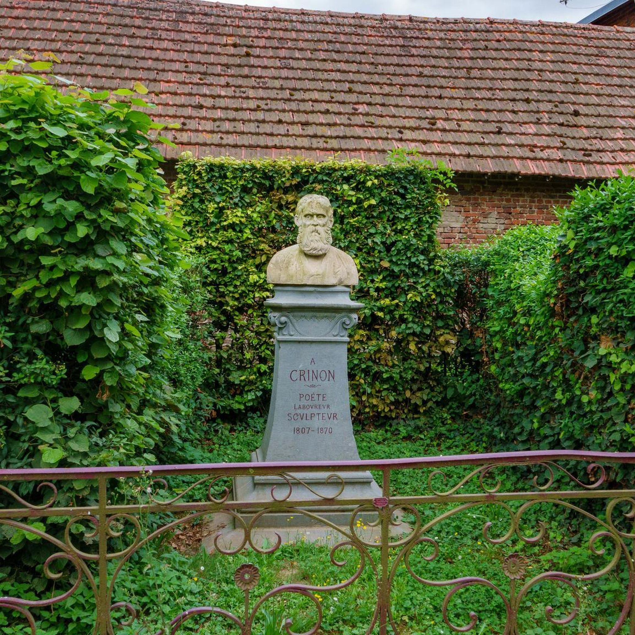
Very beautiful, well-preserved gate.🥰
0
0

Source of the Scheldt beautiful surroundings circular walk approx. 3 to 4 km easily accessible
0
0

The Canal du Nord is a 95 km long canal in northern France that connects the Oise Valley to the Dunkirk-Scheldt Canal. Construction began in 1908, but was interrupted by the First World War. The canal was not completed and opened to navigation until 1965. The canal has 19 locks and two tunnels, including the Ruyaulcourt Tunnel, which spans a height difference of 40 metres. The Canal du Nord is an important waterway for inland navigation, but will be replaced in the future by the Seine-Nord Europe Canal, a more modern connection.
5
0

The museum covers the period of the First World War in all its aspects: military, social, cultural.
0
0
Frequently Asked Questions
How many touring cycling routes are available in Vraignes-En-Vermandois?
There are over 40 touring cycling routes around Vraignes-En-Vermandois, offering a wide range of options for different skill levels and preferences.
What kind of terrain can I expect on touring cycling routes in Vraignes-En-Vermandois?
The region is characterized by flat to gently rolling hills and open agricultural fields. Routes often follow quiet country roads and paths, including historical routes or waterways like the Canal du Nord. Elevation changes are generally modest, making it accessible for various cycling abilities.
Are there easy touring cycling routes suitable for beginners or families?
Yes, Vraignes-En-Vermandois offers 23 easy touring cycling routes. An excellent option for a relaxed ride is the Bridge – Château de Péronne loop from Cartigny, which is 15.7 miles (25.3 km) long and features modest elevation.
What are some more challenging touring cycling routes in the area?
For those seeking a more demanding ride, there are 7 difficult routes available. Consider the Canal du Nord – Château de Péronne loop from Roisel, a 61.3 miles (98.6 km) trail with over 400 meters of elevation gain, offering extensive views and historical sites.
What are the typical distances and elevation gains for touring cycling routes here?
Route distances vary significantly, from shorter loops around 15 miles (25 km) to longer excursions over 90 miles (145 km). Elevation gains are generally modest, with many routes featuring less than 250 meters of ascent, though some longer, more difficult routes can have over 800 meters of climbing.
Are there any circular touring cycling routes in Vraignes-En-Vermandois?
Many of the touring cycling routes in the region are designed as loops, allowing you to start and finish at the same point. For example, the Canal du Nord – Château de Péronne loop from Vermand is a moderate 33.4 miles (53.7 km) circular path.
What can I see along the touring cycling routes in Vraignes-En-Vermandois?
The routes often pass by significant historical and natural landmarks. You can explore sites like the historic Château de Péronne, the Historial of the Great War – Château de Péronne, or cycle alongside the Canal du Nord. The Vaucelles Abbey – Basilique Saint-Quentin loop from Roisel also offers cultural sights.
When is the best time of year to go touring cycling in Vraignes-En-Vermandois?
The spring, summer, and early autumn months (April to October) generally offer the most pleasant weather for touring cycling in the region, with milder temperatures and less rainfall. The open agricultural landscapes are particularly scenic during these seasons.
Are there places to stop for refreshments or food along the routes?
While specific cafes are not always directly on every route, many villages and towns along the way, especially those near popular attractions like Péronne, offer opportunities for refreshments. The Canal du Nord – Refill bench loop from Monchy-Lagache is an example of a route that might have facilities nearby.
What do other touring cyclists enjoy most about cycling in Vraignes-En-Vermandois?
The area is highly rated by the komoot community, with an average score of 4.4 stars from over 30 reviews. Reviewers often praise the quiet country roads, the gentle terrain suitable for various abilities, and the scenic views along the Canal du Nord and through agricultural landscapes.
Is public transport available to access touring cycling routes in Vraignes-En-Vermandois?
Public transport options in this rural area may be limited. It is generally recommended to travel by car to reach starting points, where parking is often available in villages or near local attractions. Always check local transport schedules if planning to use public services.
Most popular routes around Vraignes-En-Vermandois
Most popular attractions around Vraignes-En-Vermandois

Get inspired with the komoot mobile app


Explore more
Browse the best Cycling routes in other regions.
