The best mountain hikes around Sierscheid
4.8
(49)
109
hikers
6
hikes
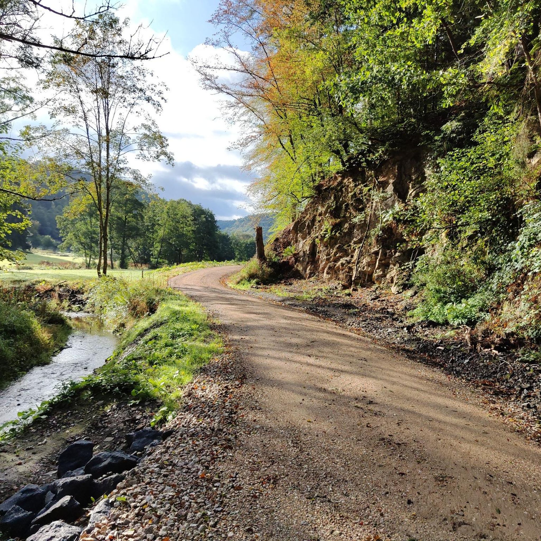
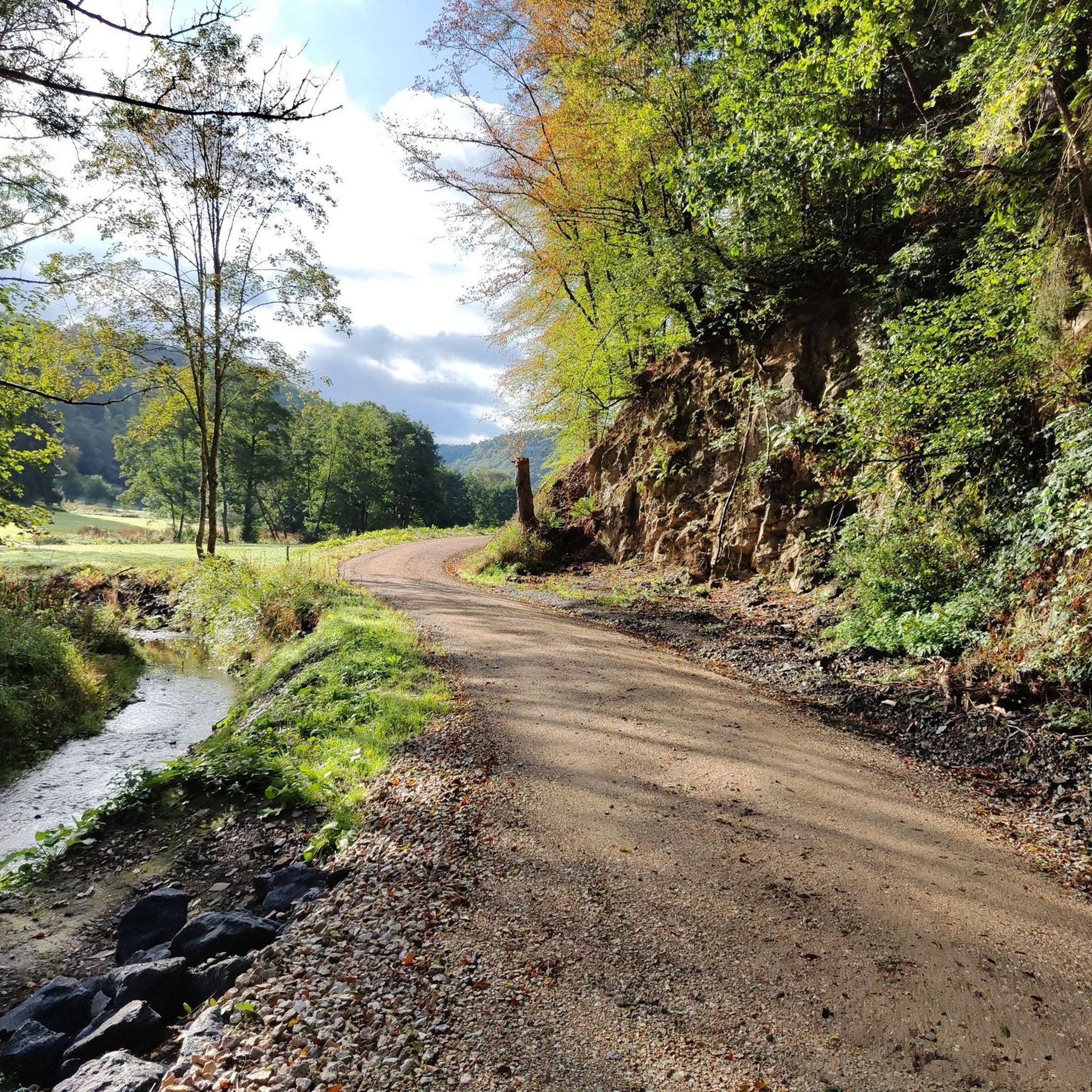
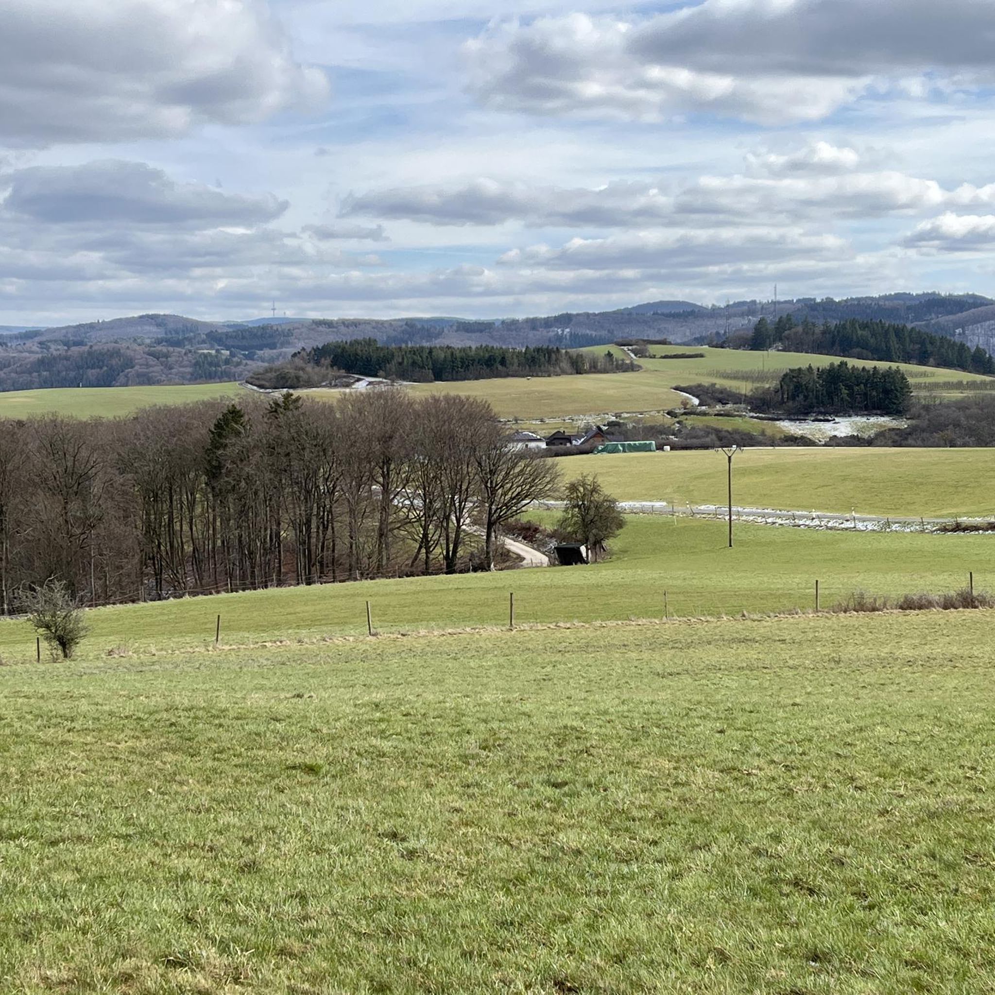
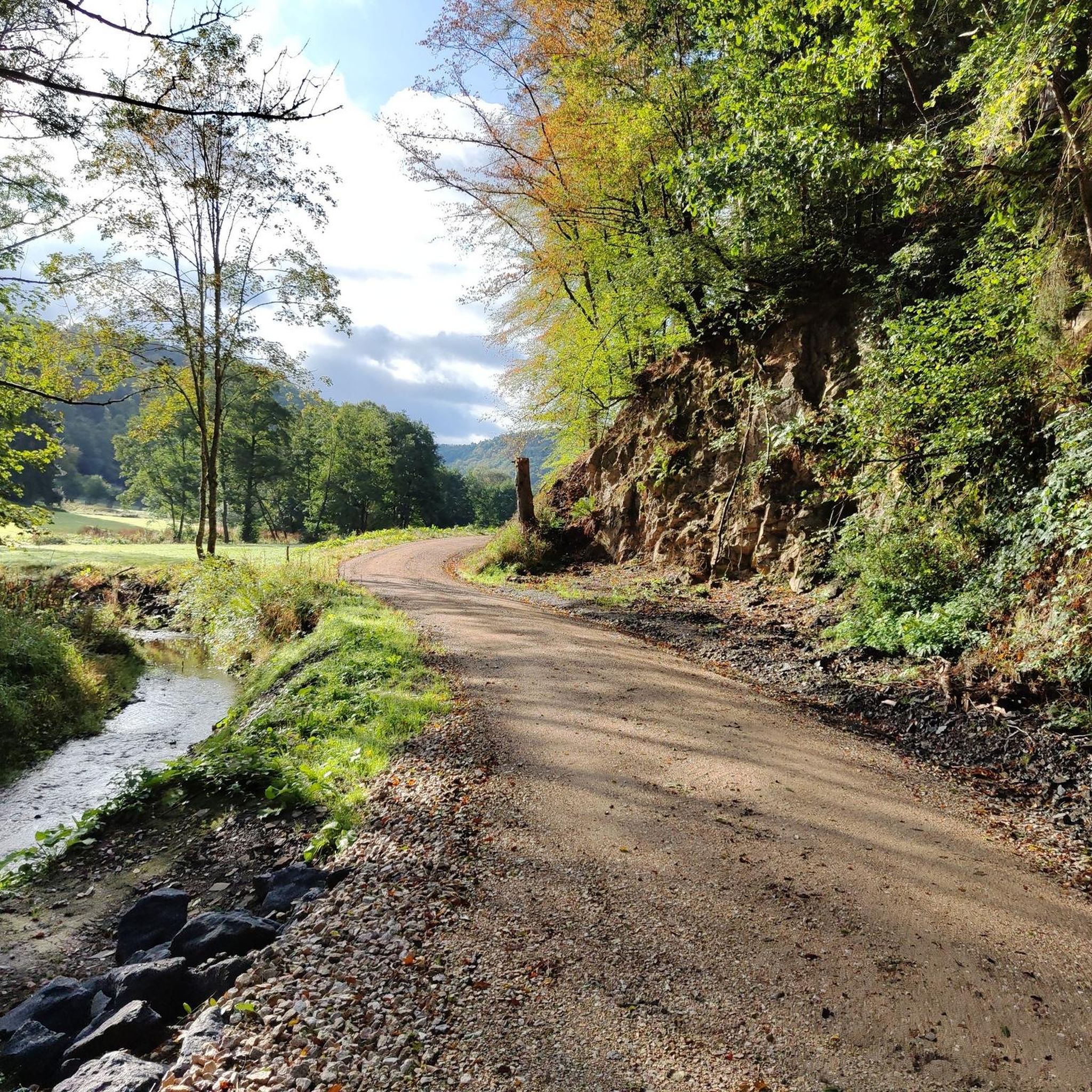
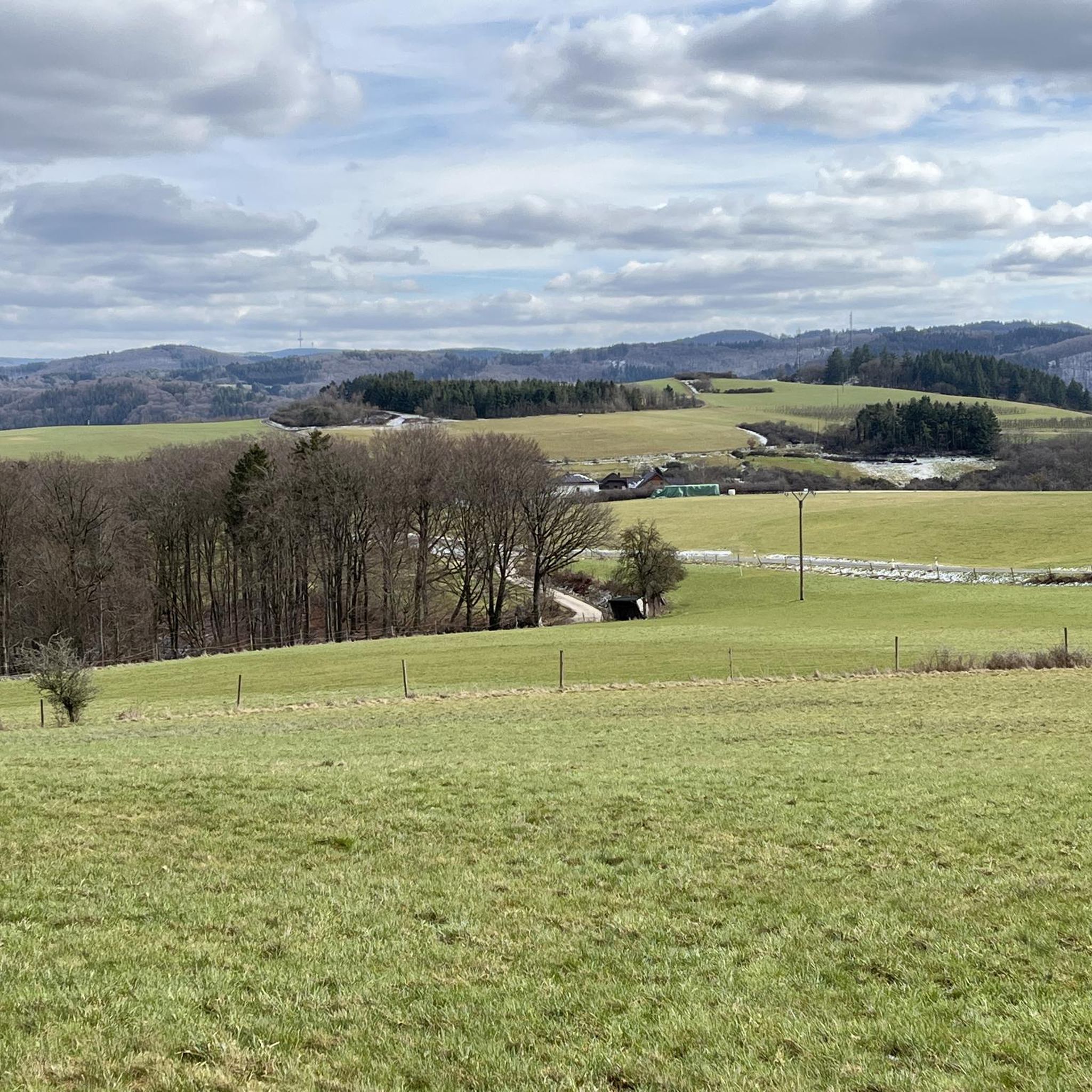
Mountaineering routes around Sierscheid traverse the diverse landscapes of the Eifel region and the Ahr valley, characterized by varied topography. The area features extensive forests, rocky outcrops, and undulating hills, with distinctive volcanic peaks and block screes in the Vulkaneifel. The Ahr valley adds winding river paths and challenging ascents through vineyards and gorges, providing a rugged environment for strenuous uphill hiking and navigating rocky terrain.
Best mountaineering routes around Sierscheid
- The most popular mountaineering route is Teufelsley summit –…
Last updated: July 2, 2026
4.5
(13)
35
hikers
14.3km
04:39
550m
550m
Hard mountaineering route. Good fitness required. Sure-footedness, sturdy shoes and alpine experience required.
5.0
(15)
22
hikers
16.6km
05:33
660m
660m
Hard mountaineering route. Very good fitness required. Sure-footedness, sturdy shoes and alpine experience required.

Sign up for free
4.5
(2)
8
hikers
16.2km
05:03
550m
550m
Hard mountaineering route. Very good fitness required. Sure-footedness, sturdy shoes and alpine experience required.
5.0
(1)
2
hikers
22.7km
06:58
740m
740m
Hard mountaineering route. Very good fitness required. Sure-footedness, sturdy shoes and alpine experience required.
5.0
(1)
2
hikers
4.16km
01:14
90m
90m
Moderate mountaineering route. Great for any fitness level. Mostly accessible paths. Sure-footedness required.
Our route recommendations are based on thousands of hikes, rides, and runs completed by other people on komoot.
Start today with a free account
Your next adventure awaits.
Login or Signup
Tips from the Community

During wine week there will be a wine kiosk here and you can buy a holder to put your wine glass in 😀
17
1
The devil once went to the Ahr valley and was so pleased with the land and its people, but especially the excellent red wine, that he forgot his way home. One day, while he was resting on the mountain opposite Are Castle, his grandmother approached him in the form of a beautiful girl. In the arms of the lovesick devil, she quickly changed back into the disgusting old woman he knew all too well. Angrily, he grabbed his grandmother and threw her back through the rock face into hell. This is how the Teufelsloch came into being, which can still be seen above Altenahr today.
20
0

From here you have a nice starting point for the nationally known red wine hiking trail. Other worthwhile hiking destinations are the Black Cross, the Altenahrer Eck or the famous Teufelsloch.
3
0

Beautiful surroundings with many views
3
1
Probably the most beautiful part of the panoramic path above Pützfeld. From here you have a very nice view of the Ahr valley.
6
0

So it's easily accessible again?
5
0

So I have to put that right now, the hiking trails are all set up again and you can hike wonderfully again. The Ahr Valley needs tourism, so come on. It has to go up again
7
0

Really alpine trail with easier climbing sections, not always very stable rock and sometimes finding the way requires a bit of intuition.
4
0
Frequently Asked Questions
What kind of terrain can I expect on mountaineering routes near Sierscheid?
The mountaineering routes around Sierscheid traverse the diverse landscapes of the Eifel region and the Ahr valley. You'll encounter extensive forests, rocky outcrops, and undulating hills. The Vulkaneifel area features distinctive volcanic peaks and block screes, while the Ahr valley offers winding river paths and challenging ascents through vineyards and gorges. Expect rugged, uneven terrain, with some sections featuring narrow, stony paths and potentially loose slate rubble, especially after rain.
Are there any circular mountaineering routes in the Sierscheid area?
Yes, several mountaineering routes around Sierscheid are circular. For instance, the Teufelsley summit – Engelsley Summit Cross loop from Altenahr is a challenging 13.2 km loop. Another option is the Devil's Hole – Teufelsley summit loop from Kesseling, which covers 14.8 km and includes sections with rocky formations.
What are some notable landmarks or viewpoints I can discover along the mountaineering routes?
The region offers numerous stunning viewpoints and natural features. You can find the Kaiser Wilhelm Tower on the Hohe Acht, which provides panoramic views. Other highlights include the Teufelsley summit, the View from Schrock, and the View of Saffenburg and the Ahr Valley. The 'Teufelsschlucht' (Devil's Gorge) is also a natural monument with metre-high rock faces.
What is the best time of year for mountaineering in Sierscheid?
The Eifel and Ahr valley regions are beautiful throughout much of the year. Spring and autumn offer pleasant temperatures and vibrant scenery, with autumn being particularly stunning as the vineyards in the Ahr valley change color. While summer is also suitable, be prepared for warmer weather. Winter mountaineering is possible, but conditions can be challenging with potentially slippery paths due to loose slate rubble, especially in wet or icy conditions.
Are there any less crowded mountaineering trails around Sierscheid?
While some routes are popular, the extensive network of trails in the Eifel and Ahr valley allows for finding quieter paths. For a challenging experience away from the most frequented spots, consider exploring routes that venture deeper into the forests and less-trafficked sections of the Ahr heights, such as those leading towards Dümpelhardt, which offers spectacular distant views.
What is the typical duration and distance for mountaineering routes in Sierscheid?
The mountaineering routes around Sierscheid vary in length and duration. For example, the Teufelsley summit loop from Ahrbrück is about 14.2 km and typically takes around 4 hours 20 minutes. Longer routes, like the Teufelsley summit loop from Altenahr, stretch to 19.1 km and can take over 5 hours 50 minutes to complete, depending on your pace and breaks.
Are there any beginner-friendly mountaineering routes in Sierscheid?
While the guide focuses on more challenging mountaineering routes, the broader Eifel region offers a range of trails. For those new to mountaineering, it's advisable to start with routes described as 'moderate' in difficulty, which still provide elevation gain and varied terrain but are less strenuous than the 'difficult' rated paths. Always check the route details for elevation and distance to match your fitness level.
What do other mountaineers enjoy most about the routes in Sierscheid?
The mountaineering routes around Sierscheid are highly rated by the komoot community, with an average score of 4.8 stars from over 40 reviews. Users frequently praise the challenging ascents, the diverse landscapes encompassing volcanic features and the scenic Ahr valley, and the rewarding panoramic views from summits and viewpoints like the Altenahrer Eck.
Are there options for parking near the mountaineering trails in Sierscheid?
Yes, many trailheads for mountaineering routes in the Sierscheid area, particularly those starting from towns like Altenahr or Kesseling, offer designated parking facilities. It's always a good idea to check specific route descriptions or local signage for the most convenient parking options before you set out.
Can I access mountaineering trails around Sierscheid using public transport?
The Ahr valley region, bordering Sierscheid, has some public transport connections, particularly along the Ahr river. Towns like Altenahr, which serve as starting points for several mountaineering routes, may be accessible by train or bus. However, access to more remote trailheads might be limited, so planning your journey in advance and checking local transport schedules is recommended.
Are there any cafes or pubs near the mountaineering routes for refreshments?
Yes, especially in the villages and towns nestled within the Ahr valley, such as Altenahr or Mayschoß, you'll find various cafes, restaurants, and traditional pubs (Straußwirtschaften) where you can enjoy local cuisine and wines. These establishments are often conveniently located near popular hiking and mountaineering routes, perfect for a break or a post-hike meal.
What is the most challenging mountaineering route in this guide?
Among the routes listed, the Teufelsley summit – Altenahrer Eck loop from Altenahr stands out as particularly challenging. It covers 17.6 km with a significant elevation gain of 687 meters, typically taking around 5 hours 46 minutes to complete. This route leads through varied terrain and offers substantial ascents.
Most popular routes around Sierscheid
Most popular attractions around Sierscheid

Get inspired with the komoot mobile app


Explore more
Browse the best Mountain Hikes & Routes in other regions.
