The best mountain hikes around Kirchsahr
4.8
(50)
112
hikers
7
hikes
Mountaineering routes around Kirchsahr are situated in the picturesque Ahrweiler region of Germany, within the Eifel low mountain range. This area is characterized by rolling hills, dense forests, and the scenic Ahr Valley, offering challenging mountain trails. The Sahrbachtal, a side valley, provides additional diverse terrain for exploration. The landscape includes vineyards and natural features like the Effelsberg stream, contributing to varied mountaineering experiences.
Best mountaineering routes around Kirchsahr
- The most popular mountaineering route is Teufelsley summit – Engelsley Summit…
Last updated: July 2, 2026
4.5
(13)
35
hikers
14.3km
04:39
550m
550m
Hard mountaineering route. Good fitness required. Sure-footedness, sturdy shoes and alpine experience required.
5.0
(15)
22
hikers
16.6km
05:33
660m
660m
Hard mountaineering route. Very good fitness required. Sure-footedness, sturdy shoes and alpine experience required.

Sign up for free
4.5
(2)
8
hikers
16.2km
05:03
550m
550m
Hard mountaineering route. Very good fitness required. Sure-footedness, sturdy shoes and alpine experience required.
5.0
(1)
2
hikers
22.7km
06:58
740m
740m
Hard mountaineering route. Very good fitness required. Sure-footedness, sturdy shoes and alpine experience required.
5.0
(1)
3
hikers
11.0km
03:08
250m
250m
Moderate mountaineering route. Good fitness required. Easily-accessible paths. Suitable for all skill levels.
Get access to more routes and recommendations from other explorers.
Sign up for free
Already have an account?
Our route recommendations are based on thousands of hikes, rides, and runs completed by other people on komoot.
Start today with a free account
Your next adventure awaits.
Login or Signup
Tips from the Community

During wine week there will be a wine kiosk here and you can buy a holder to put your wine glass in 😀
17
1
The devil once went to the Ahr valley and was so pleased with the land and its people, but especially the excellent red wine, that he forgot his way home. One day, while he was resting on the mountain opposite Are Castle, his grandmother approached him in the form of a beautiful girl. In the arms of the lovesick devil, she quickly changed back into the disgusting old woman he knew all too well. Angrily, he grabbed his grandmother and threw her back through the rock face into hell. This is how the Teufelsloch came into being, which can still be seen above Altenahr today.
20
0

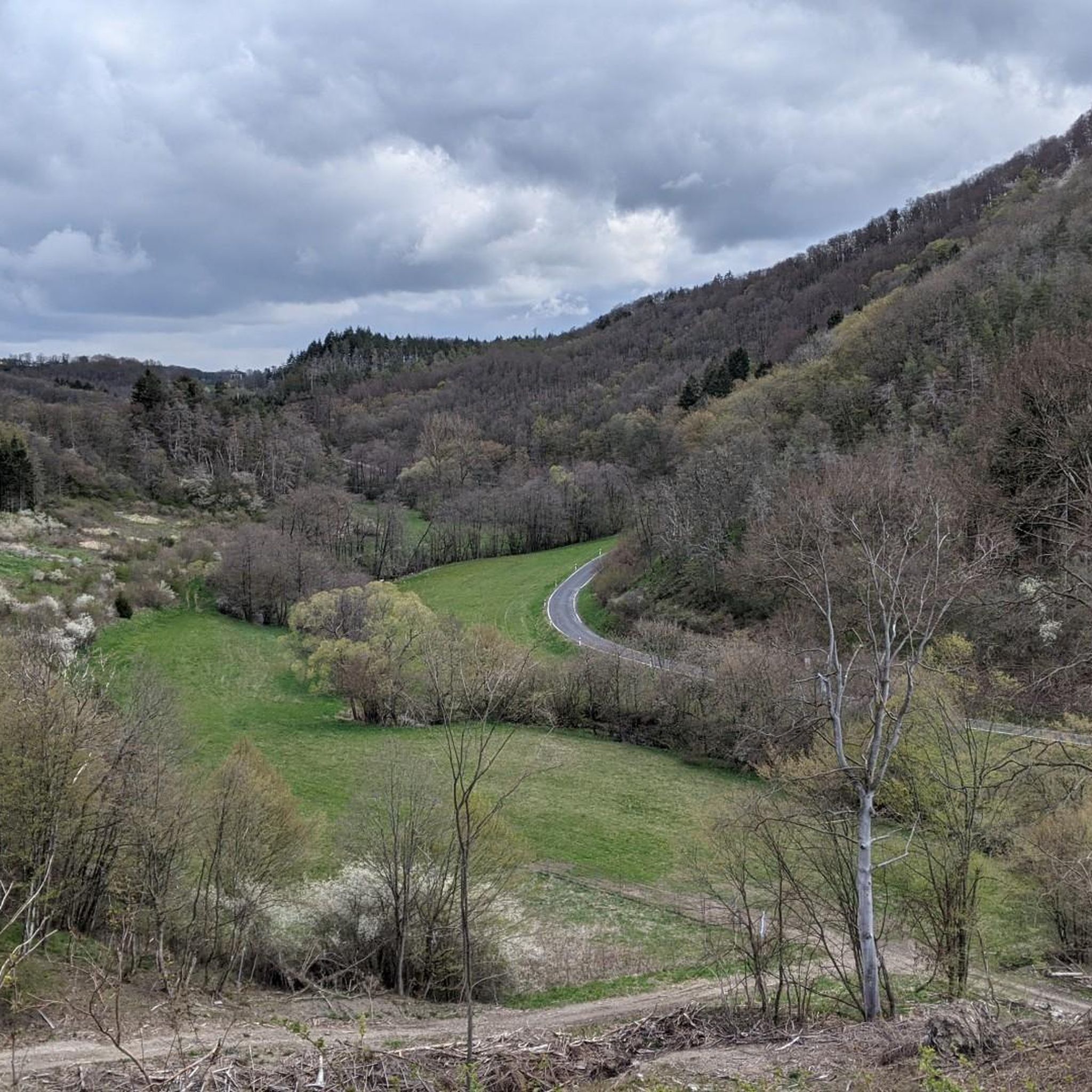
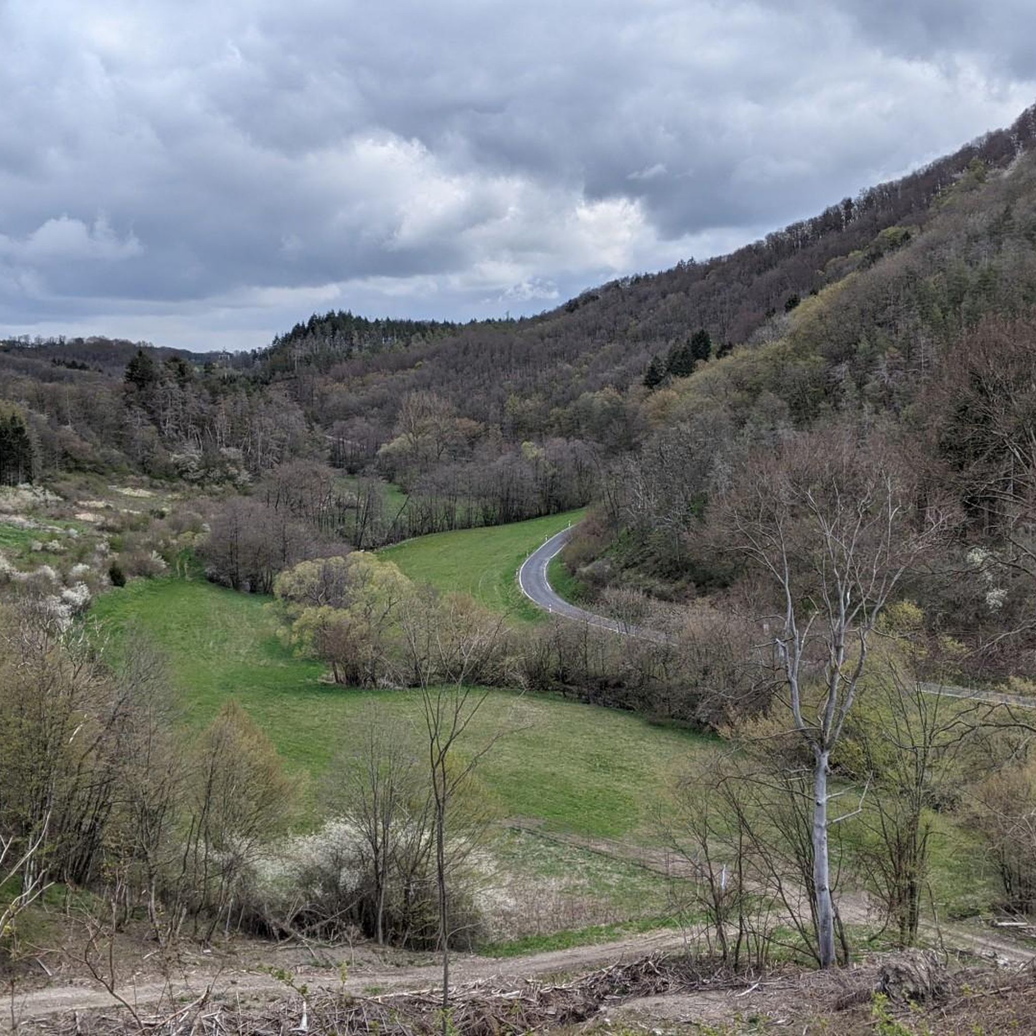
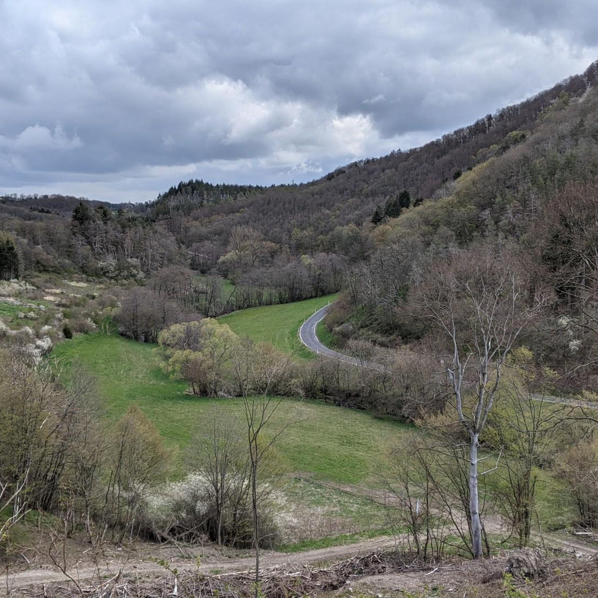
Probably the most beautiful part of the panoramic path above Pützfeld. From here you have a very nice view of the Ahr valley.
6
0

Really alpine trail with easier climbing sections, not always very stable rock and sometimes finding the way requires a bit of intuition.
4
0

Former witch hunt/execution site and current barbecue area... sounds a bit macabre at first. Past and present seem to be in flux here. In 1609, 62 people were executed there on six days of executions for alleged witchcraft.1512, among others, Simon von der Leyen, the 22nd abbot of the Benedictine abbey of Maria Laach, was allegedly murdered by a witch using poisoned cheese. In Antweiler alone, nine alleged witches were executed. Given the small population, this is a fairly high number of victims. In the dioceses of Trier and Cologne, the witch craze raged particularly cruelly. During the Thirty Years' War, the Saffenburg was repeatedly the scene of witch trials - until the witch hunters were driven out by Swedish troops in 1632.
2
0
In 1609, 62 people were executed there on six days for alleged witchcraft. In 1512, among others, Simon von der Leyen, the 22nd abbot of the Benedictine abbey of Maria Laach, was allegedly murdered by a witch using poisoned cheese. In Antweiler alone, nine alleged witches were executed. Given the small population, this is a fairly high number of victims. In the dioceses of Trier and Cologne, the witch craze raged particularly cruelly. During the Thirty Years' War, the Saffenburg was repeatedly the scene of witch trials - until the witch hunters were driven out by Swedish troops in 1632.
2
0

The dwarf or angel hole at Engelsley is significantly smaller and more difficult to reach than the devil's hole. The Engelsley is not suitable for inexperienced hikers!
1
0

The corner far above the river offers a very nice view of the Ahr valley.
19
1
Frequently Asked Questions
How many mountaineering routes are available around Kirchsahr?
There are 8 distinct mountaineering routes around Kirchsahr, offering a variety of challenges within the Eifel low mountain range. These routes are highly rated by the komoot community, with an average score of 4.8 stars.
What are the typical difficulty levels for mountaineering routes in Kirchsahr?
The mountaineering routes in Kirchsahr primarily range from moderate to difficult. There are 3 moderate routes and 5 difficult routes, often featuring significant elevation gain through forested terrain and along ridge lines.
Are there any circular mountaineering routes in Kirchsahr?
Yes, many of the mountaineering routes around Kirchsahr are designed as loops, allowing you to start and end at the same point. For example, the difficult Teufelsley summit – Engelsley Summit Cross loop from Altenahr is a popular circular option, as is the Devil's Hole – Teufelsley summit loop from Kesseling.
When is the best time of year to go mountaineering in Kirchsahr?
The Kirchsahr region, part of the Eifel low mountain range, is beautiful year-round. Spring offers blossoming trees and shrubs, while autumn provides a blaze of colors in the vineyards and forests. The routes are generally accessible from spring through autumn, with winter conditions potentially requiring specialized gear due to snow or ice.
Are there family-friendly mountaineering options around Kirchsahr?
While the listed mountaineering routes are generally moderate to difficult, the broader Kirchsahr area offers family-friendly hiking options. The 'Kirchsaarh Nature Trail' is known for its interactive stations about local animals and plants, and the Milky Way Trail to the Effelsberg radio telescope is also suitable for families.
Can I bring my dog on mountaineering routes in Kirchsahr?
Generally, dogs are welcome on hiking and mountaineering trails in the Kirchsahr region. However, it's always advisable to keep them on a leash, especially in forested areas or near wildlife, and to check for any specific local regulations or protected areas along your chosen route.
What interesting landmarks or attractions can I see along the mountaineering routes?
The routes often pass by or offer views of significant landmarks. You might encounter the unique natural feature of the Teufelsloch (Devil's Hole) or enjoy panoramic views from summits like Teufelsley. Historic sites such as the Are Castle Ruins or the Saffenburg Castle Ruins are also nearby and can be incorporated into your exploration.
Where can I park when starting a mountaineering route in Kirchsahr?
Parking is typically available in the villages that serve as starting points for these routes, such as Altenahr, Kesseling, or Ahrbrück. Specific parking information can often be found on the individual route pages on komoot, like for the Teufelsley summit loop from Ahrbrück.
Is Kirchsahr accessible by public transport for mountaineers?
Kirchsahr and surrounding villages like Altenahr are generally accessible by public transport, primarily buses and regional trains. It's recommended to check local timetables for connections to your specific starting point, especially for routes like the Teufelsley summit – Altenahrer Eck loop from Altenahr.
Are there places to eat or drink near the mountaineering routes?
Yes, the Ahr Valley is known for its charming villages and wine-growing tradition. You'll find various pubs, restaurants, and cafes in towns like Altenahr, which often serve as starting or ending points for mountaineering routes. These offer opportunities to refuel and enjoy local cuisine after your hike.
Do I need a permit to go mountaineering in Kirchsahr?
No, generally you do not need a special permit for mountaineering or hiking on the established trails in the Kirchsahr region or the Eifel low mountain range. However, always respect private property, follow marked paths, and adhere to any local signage regarding nature protection areas.
What do other mountaineers enjoy most about the routes in Kirchsahr?
The komoot community highly rates the mountaineering routes in Kirchsahr, with an average score of 4.8 stars. Reviewers often praise the diverse terrain, the challenging ascents, and the stunning panoramic views from various summits. The blend of dense forests, river valleys, and unique rock formations like the Devil's Hole also receives frequent positive mentions.
Most popular routes around Kirchsahr
Most popular attractions around Kirchsahr

Get inspired with the komoot mobile app


Explore more
Browse the best Mountain Hikes & Routes in other regions.
