The best walks and hikes around La Plagne-Tarentaise
4.6
(452)
6,216
hikers
163
hikes
Hiking around La Plagne-Tarentaise offers diverse landscapes, ranging from high-altitude lakes and alpine pastures to dense forests and mountain peaks. The region is characterized by its location within the Vanoise National Park, providing opportunities to observe local wildlife and flora. Trails vary in difficulty, catering to different experience levels, with many routes offering panoramic views of Mont Blanc and the surrounding Paradiski area.
Best hiking trails around La Plagne-Tarentaise
- The most popular hiking route is View of Ours – bellecôte…
Last updated: June 25, 2026
4.8
(24)
279
hikers
15.9km
05:18
790m
780m
Hard hike. Very good fitness required. Easily-accessible paths. Suitable for all skill levels.
4.4
(12)
284
hikers
7.99km
02:22
240m
240m
Moderate hike. Good fitness required. Easily-accessible paths. Suitable for all skill levels.

Sign up for free
4.5
(26)
164
hikers
10.1km
03:24
510m
510m
Moderate hike. Good fitness required. Easily-accessible paths. Suitable for all skill levels.
4.8
(6)
180
hikers
14.7km
06:04
920m
920m
Hard hike. Very good fitness required. Sure-footedness, sturdy shoes and alpine experience required.
4.6
(14)
143
hikers
10.3km
04:33
730m
730m
Moderate hike. Good fitness required. Mostly accessible paths. Sure-footedness required.
Get access to more routes and recommendations from other explorers.
Sign up for free
Already have an account?
Our route recommendations are based on thousands of hikes, rides, and runs completed by other people on komoot.
Start today with a free account
Your next adventure awaits.
Login or Signup
Popular around La Plagne-Tarentaise
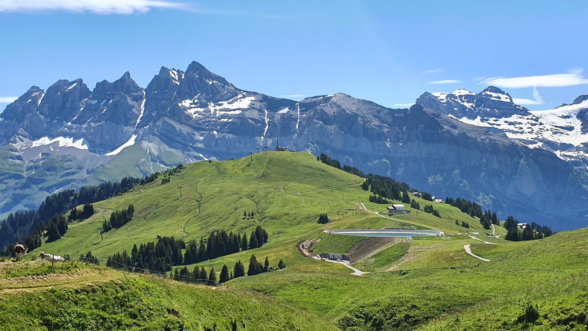
Europe Trail (GR 5) – Hike from Landry to Thonon-les-Bains

Hike from Savoie to Vanoise – Hexatrek in France’s Northern Alps
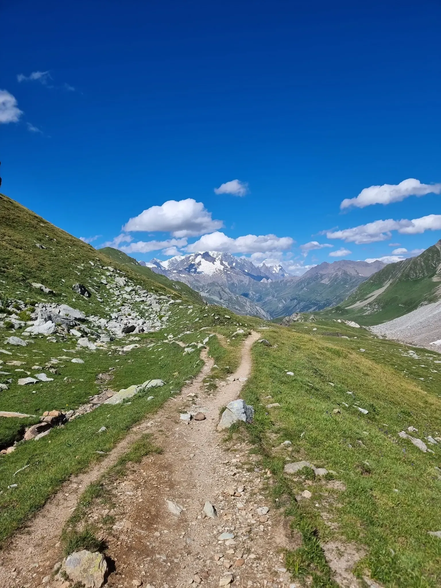
Five days of alpine fastpacking - Ultra Tour du Beaufortain
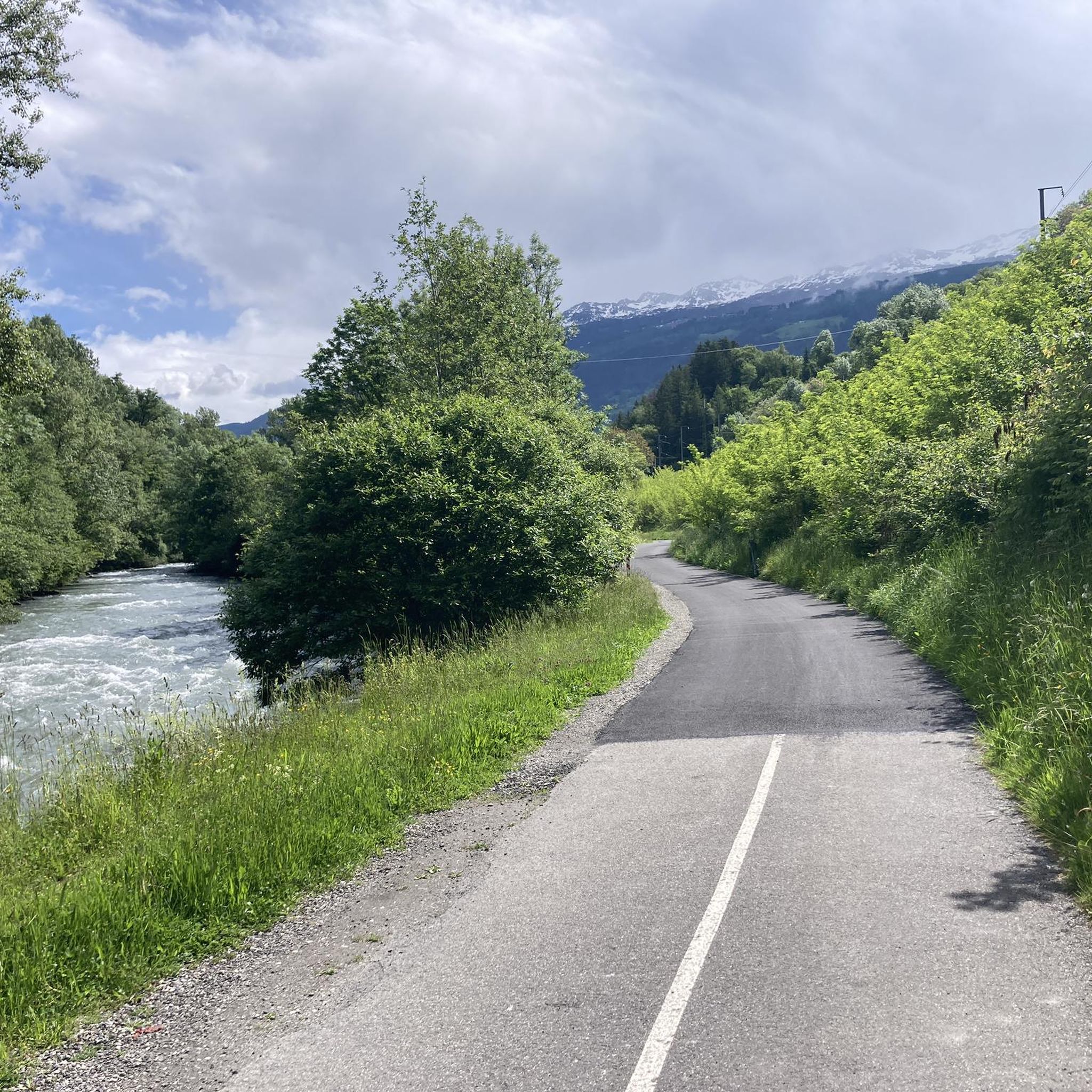
Cycling around La Plagne-Tarentaise
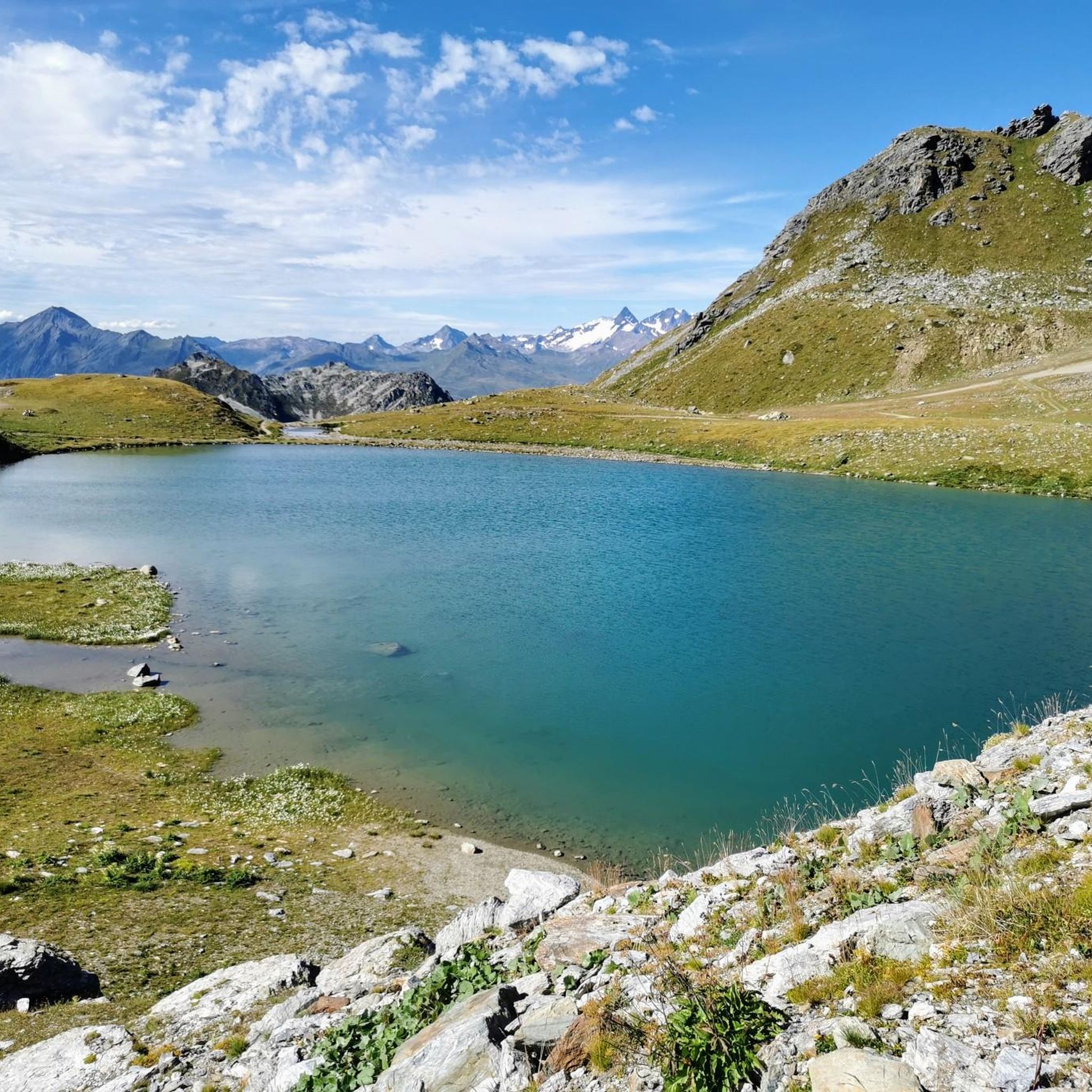
MTB Trails around La Plagne-Tarentaise
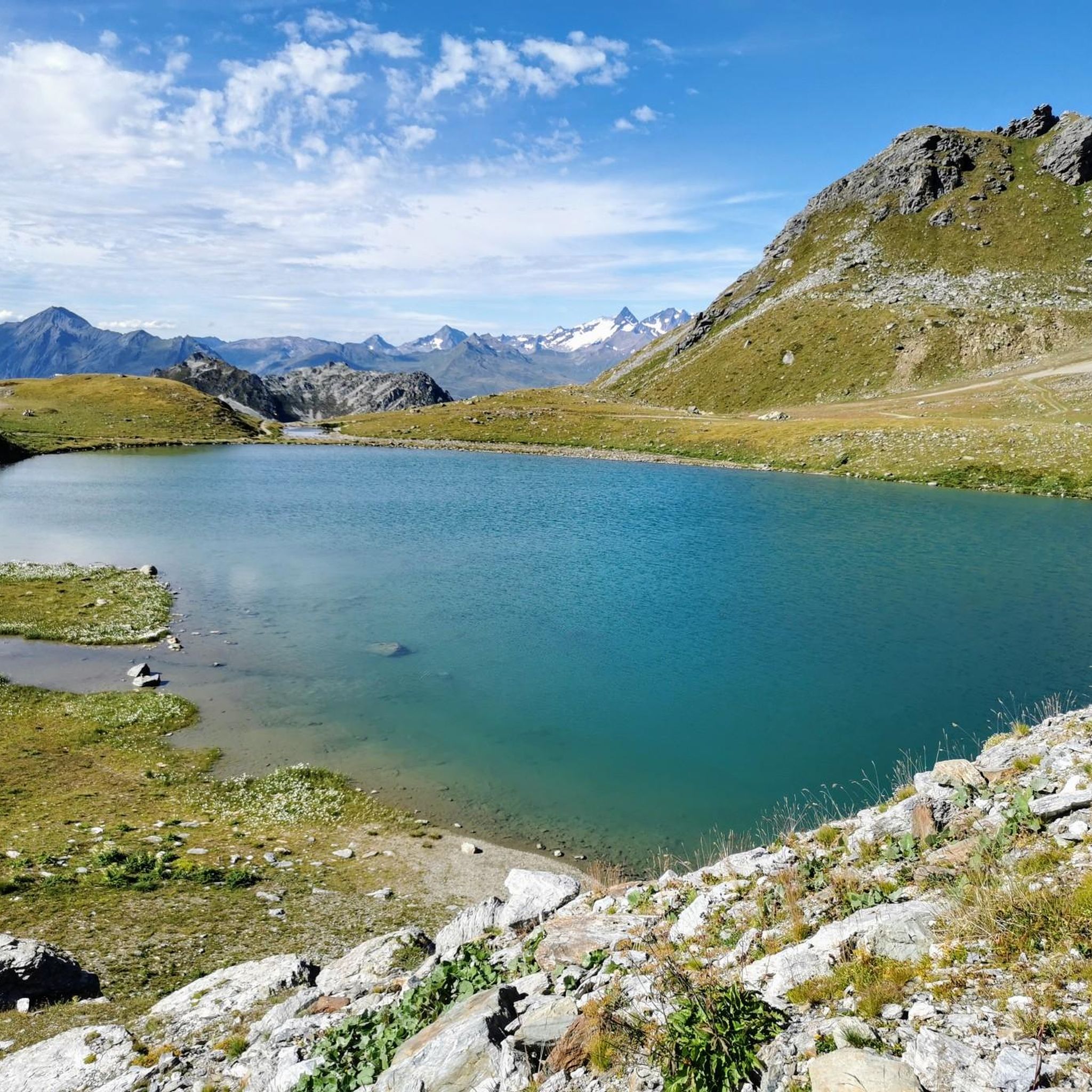
Running Trails around La Plagne-Tarentaise
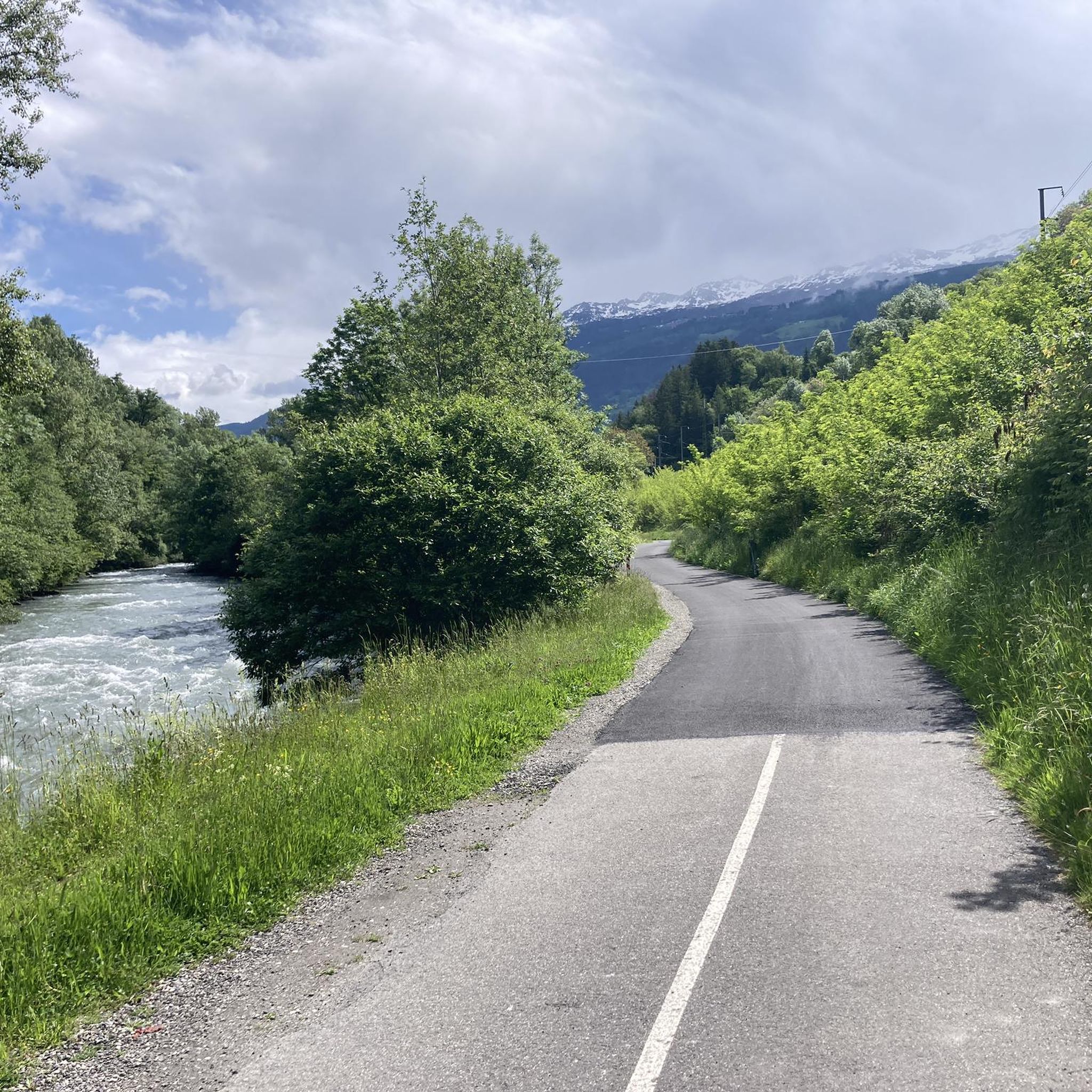
Road Cycling Routes around La Plagne-Tarentaise

Gravel biking around La Plagne-Tarentaise

Mountain Hikes around La Plagne-Tarentaise
Other adventures around La Plagne-Tarentaise


Tips from the Community

A very pleasant hut on the GR 5 with bivouac facilities.
0
0

Refuge Alt. 2009m, in the commune of Aime la Plagne, located on the GR tour of Beaufortains at the foot of the Pierra Menta near the Presset refuge Alt. 2514m. Lac d'Amour, Lac de Presset. In the valley which goes up to the refuge, at the level of the Aval chalet Patou protection dog zone (check the sheepdog zones with pasto-kezako.fr and Waffapp.)
0
0

A bit technical on the descent Preferably the ascent Less than 30 minutes
0
0

The panorama is magnificent seen from Mont Pourri
0
0

Easily accessible from La Plagne Village by the Grande Rochette cable car.
0
0
Easily accessible by cable car from La Plagne Village.
0
0
Magnificent view towards the Aiguille de la Nova and the Pointe de Gargan.
0
0

Please note that they do not accept credit cards, so bring cash.
0
0
Frequently Asked Questions
How many hiking trails are available in La Plagne-Tarentaise?
La Plagne-Tarentaise offers a wide variety of hiking experiences, with over 150 trails recorded on komoot. These include 44 easy routes, 85 moderate paths, and 24 more challenging treks, ensuring options for all skill levels.
Are there hiking trails suitable for families or beginners in La Plagne-Tarentaise?
Yes, La Plagne-Tarentaise is very welcoming for families and beginners. The region offers numerous leisurely strolls and easy trails, with 44 routes specifically categorized as 'easy' on komoot. Many villages serve as accessible starting points for these walks, and summer lift passes can help access higher altitudes with less effort.
Can I find hikes that feature high-altitude lakes in La Plagne-Tarentaise?
Absolutely. The landscape of La Plagne-Tarentaise is dotted with beautiful high-altitude lakes. You can explore routes leading to picturesque spots like Lac de la Grassaz, Lac d'Amour, and Lac de Presset. For example, the Presset Refuge – Lac de Presset loop from La Côte-d'Aime is a challenging route that takes you past one of these stunning lakes.
What kind of wildlife can I expect to see while hiking in La Plagne-Tarentaise?
Hiking in La Plagne-Tarentaise, especially within the Vanoise National Park, offers excellent opportunities for wildlife spotting. Keep an eye out for chamois, ibex, and marmots. Birdwatchers might also be lucky enough to spot bearded vultures among the 125 bird species identified in the park.
Are there any circular hiking routes in La Plagne-Tarentaise?
Yes, many trails in La Plagne-Tarentaise are designed as circular routes, allowing you to start and end in the same location. An example is the Dou du Praz loop from Mâcot-la-Plagne, a moderate 8.5 km path that traverses varied terrain.
What are the best viewpoints for panoramic scenery in La Plagne-Tarentaise?
La Plagne-Tarentaise is renowned for its breathtaking 360° panoramas. Many trails offer constant views of Mont Blanc. Key viewpoints include the Roche de Mio, the summit of Mont Saint-Jacques, and the Live 3000 terrace. The Dôme de Vaugelaz also provides a stunning panorama of the Paradiski area.
Are there mountain huts along the trails for rest or overnight stays?
Yes, the region features numerous mountain huts that provide places for rest, food, drink, and even overnight stays. Notable refuges include La Balme and Presset. The Mount Rosset – La Balme Refuge loop from La Côte-d'Aime is an example of a route that passes by one of these refuges.
What is the best time of year to go hiking in La Plagne-Tarentaise?
The best time for hiking in La Plagne-Tarentaise is typically during the summer months, from June to September, when the trails are clear of snow and the alpine flora is in full bloom. This period offers pleasant temperatures and full access to the high-altitude routes and lift systems.
Can I bring my dog on the hiking trails in La Plagne-Tarentaise?
Many trails in La Plagne-Tarentaise are dog-friendly, allowing you to enjoy the outdoors with your canine companion. However, it's important to be aware of regulations, especially within the Vanoise National Park, where dogs may be restricted or required to be on a leash to protect wildlife. Always check specific trail rules before heading out.
What do other hikers enjoy most about hiking in La Plagne-Tarentaise?
The area is highly rated by the komoot community, with an average score of 4.6 stars from over 400 reviews. Reviewers often praise the diverse landscapes, from high-altitude lakes and alpine pastures to dense forests, and the spectacular panoramic views, especially those of Mont Blanc and the Bellecôte glacier.
Are there any unique attractions or cultural experiences along the hiking routes?
Beyond natural beauty, you can encounter unique experiences. In areas like the Laval valley, hikers might come across shepherds and herdsmen traditionally making Beaufort d'Alpage cheese. Additionally, the Enchanted Alpine Pastures Trail – Prajourdan, accessible from the Montalbert gondola, features unique chainsaw sculptures and panels sharing local tales and legends.
Are there any challenging hikes for experienced trekkers in the region?
Yes, La Plagne-Tarentaise offers demanding routes for experienced trekkers. These 'hard' trails often involve significant elevation gain and can take over 5 hours to complete, requiring very good fitness and alpine experience. An example is the View of Ours – bellecôte glacier loop from Mâcot-la-Plagne, a 15.7 km trail with substantial elevation gain.
Most popular routes around La Plagne-Tarentaise
Most popular attractions around La Plagne-Tarentaise

Get inspired with the komoot mobile app


Explore more
Browse the best Hikes in other regions.
