The best road cycling routes around Crêts-En-Belledonne
4.5
(361)
7,081
riders
152
rides
Road cycling routes around Crêts-En-Belledonne traverse a region characterized by the Belledonne mountain range, featuring significant elevation changes, mountain passes (cols), and scenic valleys. The terrain includes forested slopes and open areas, providing varied backdrops for road cyclists. This area offers a network of roads suitable for diverse cycling experiences, from challenging climbs to more moderate valley rides.
Best road cycling routes around Crêts-En-Belledonne
- The most popular road cycling route is Croix de Pinet – Col des Mouilles loop from…
Last updated: October 18, 2026
4.8
(5)
129
riders
53.7km
03:22
1,510m
1,510m
Hard road ride. Very good fitness required. Mostly well-paved surfaces and easy to ride.
3.0
(1)
46
riders
28.7km
01:23
380m
380m
Moderate road ride. Good fitness required. Mostly well-paved surfaces and easy to ride.

4.0
(3)
25
riders
30.7km
01:11
70m
70m
Easy road ride. Great for any fitness level. Mostly well-paved surfaces and easy to ride.
26
riders
38.3km
02:05
780m
780m
Moderate road ride. Good fitness required. Mostly well-paved surfaces and easy to ride.
12
riders
28.4km
01:46
810m
810m
Moderate road ride. Good fitness required. Mostly well-paved surfaces and easy to ride.
Get access to more routes and recommendations from other explorers.
Already have an account?
Our route recommendations are based on thousands of hikes, rides, and runs completed by other people on komoot.
Start today with a free account
Your next adventure awaits.
Popular around Crêts-En-Belledonne
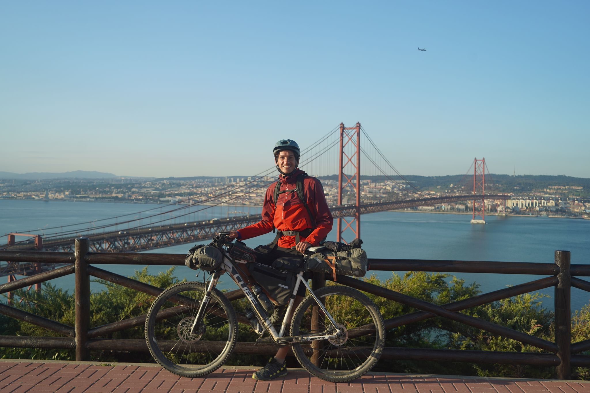
Road to Lisbon – bikepacking the Alps, Pyrenees and Picos de Europa
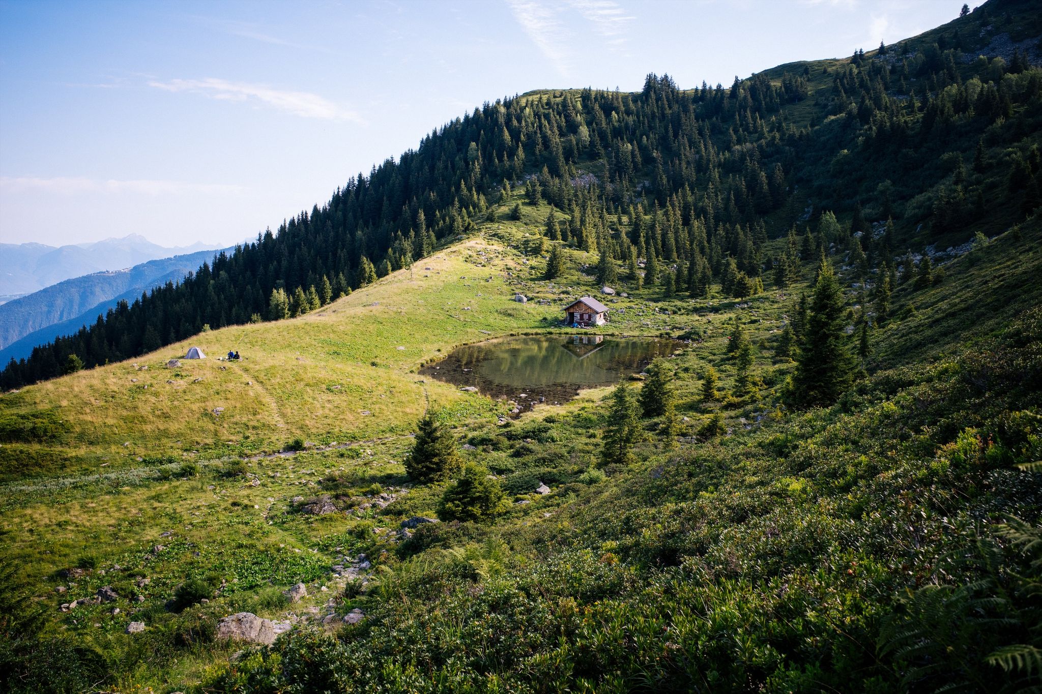
Hiking along French ridges – Le Tour du Pays d'Allevard
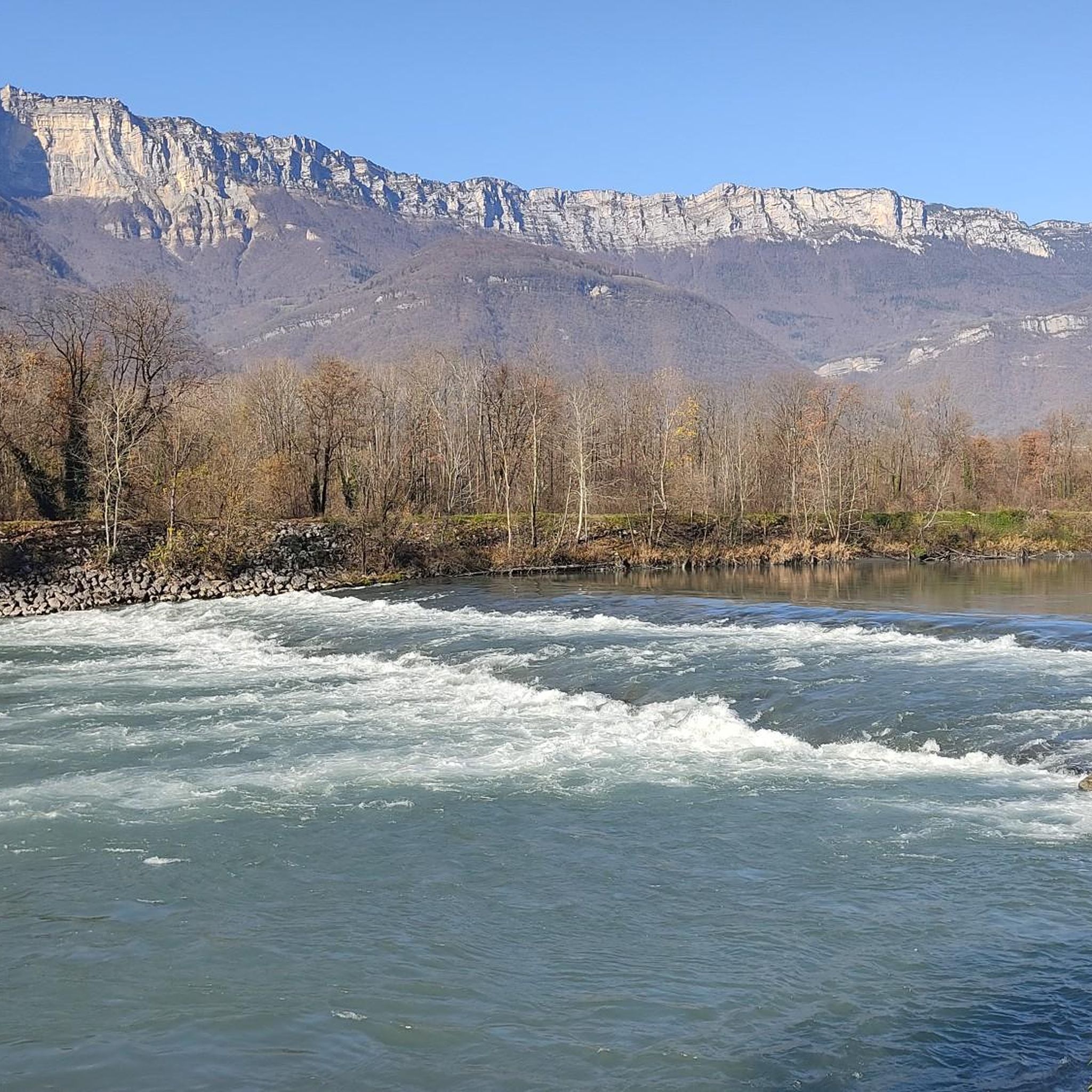
Running Trails around Crêts-En-Belledonne
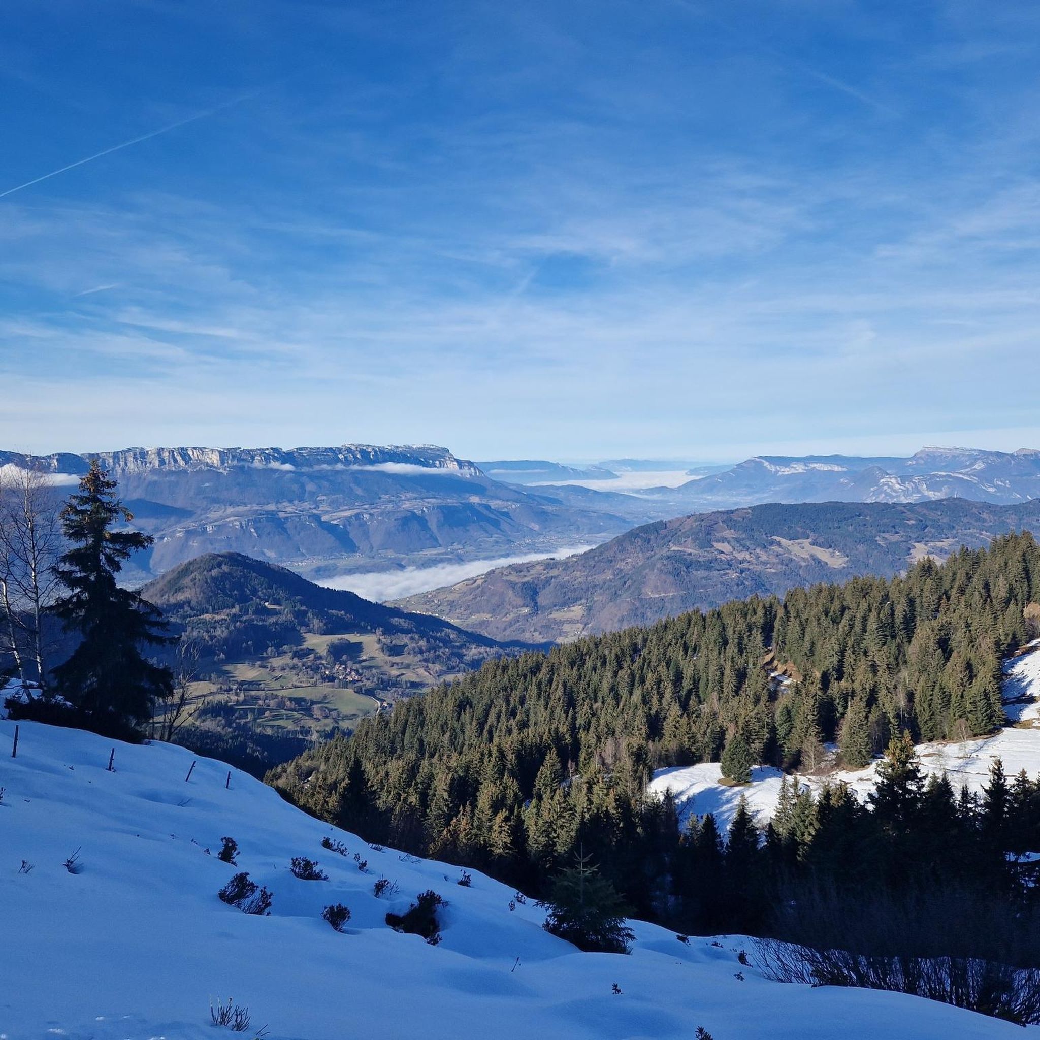
Hiking around Crêts-En-Belledonne
MTB Trails around Crêts-En-Belledonne
Cycling around Crêts-En-Belledonne

Mountain Hikes around Crêts-En-Belledonne
Gravel biking around Crêts-En-Belledonne


Tips from the Community

Very beautiful hamlet, which notably opens up the view of the Bauges in the background. The road that allows access from Allevard is very accessible.
0
0

Climb to the Col du Barioz via Les Fontaines and Le Charpieux. A technical climb after Les Perrins requires vigilance and some pushing. Please note: Passage after Les Perrins may be blocked during the summer by an electric sheep fence.
0
0

Allevard is a former spa resort nestled at the foot of Belledonne. Its quiet streets alternate between old villas, tree-lined parks, and unobstructed views of the peaks. A great starting point for exploring the surrounding area... or simply taking your time.
0
0
Between Belledonne and the valleys, the Flumet basin is an artificial body of water nestled in a natural setting. Easily accessible from Allevard, it offers a flat, shaded path, perfect for a short bike ride or a moment of relaxation. Along the way, you'll walk along the tranquil banks, with views of the surrounding peaks.
0
0
Le Bar des Alpes is a perfect place for a coffee break in La Rochette. At lunchtime, there is a generous menu!
0
0

Col du Barrioz is a climb in the Grenoble region. It has a length of 13.6 kilometers and a climb of 818 vertical meters with a slope of 6% on average, which implies a difficulty level of 614. The top of the climb is located at 1052 m. From this Col you can go up to the Crêt du Poulet refuge
0
0
Located in the Belledone massif, this out-and-back climb offers a nice challenge to take on. Leaving Allevard, we ascend 1,077 m of positive gradient at 7.5% spread over a beautiful route of 15.6 km and 14 curves, mainly in the forest.
0
0
Frequently Asked Questions
How many road cycling routes are available in Crêts-En-Belledonne?
Crêts-En-Belledonne offers a comprehensive network of over 140 road cycling routes. These routes cater to various skill levels, from easy valley rides to challenging mountain pass ascents.
Are there easy road cycling routes suitable for beginners in Crêts-En-Belledonne?
Yes, Crêts-En-Belledonne features around 20 easy road cycling routes. These are generally shorter with less elevation gain, making them ideal for beginners or those seeking a more relaxed ride through the scenic valleys.
What kind of challenging road cycling routes can I find in Crêts-En-Belledonne?
For experienced cyclists, there are 46 difficult road cycling routes in Crêts-En-Belledonne. These routes often involve significant climbs over mountain passes (cols) and offer substantial elevation gain, such as the challenging Lovely road in the valley – Col du Coq loop from Goncelin.
Are there family-friendly road cycling options in Crêts-En-Belledonne?
While specific 'family-friendly' routes aren't explicitly categorized, the region's easier routes, particularly those in the valleys with less traffic, can be suitable for families. Look for routes with minimal elevation gain and shorter distances.
What is the best time of year for road biking in Crêts-En-Belledonne?
The best time for road biking in Crêts-En-Belledonne is typically from late spring through early autumn (May to October). During these months, mountain passes are generally clear of snow, and the weather is more stable, offering pleasant conditions for cycling.
Are there circular road cycling routes in Crêts-En-Belledonne?
Many of the road cycling routes in Crêts-En-Belledonne are designed as loops, allowing you to start and finish at the same point. An example is the Roadbike loop from Goncelin, which offers a varied regional experience.
What can I see along the road cycling routes in Crêts-En-Belledonne?
Road cycling routes in Crêts-En-Belledonne offer diverse scenery, from forested slopes to open valleys. You might encounter stunning views of the Belledonne mountain range, and some routes pass by beautiful lakes like Lac Carré or Lake Curtillard. The region also features various huts and refuges, such as Refuge des 7 Laux, which can serve as scenic stops.
Are there any interesting landmarks or points of interest around Crêts-En-Belledonne?
Beyond the natural beauty, you can explore points of interest like the historic Fort Barraux, which is part of a popular cycling loop. The region is also dotted with charming villages and offers panoramic viewpoints, such as the View of the Flumet basin.
What do other road cyclists enjoy the most about road cycling in Crêts-En-Belledonne?
The area is highly rated by the komoot community, with an average score of 4.5 stars from over 300 reviews. Cyclists often praise the challenging mountain passes, the diverse terrain, and the stunning natural beauty of the Belledonne mountain range.
Are there routes that include lakes in Crêts-En-Belledonne?
Yes, some road cycling routes in Crêts-En-Belledonne incorporate scenic lakes. For instance, the The assless four! – Lake Saint-André loop from Goncelin offers beautiful lakeside views as part of its journey.
What is the typical duration and distance for road cycling routes in Crêts-En-Belledonne?
Routes vary significantly. For example, a moderate route like the Roadbike loop from Goncelin covers about 39.4 miles (63.4 km) and takes around 3 hours. More difficult routes, such as the Croix de Pinet – Col des Mouilles loop from Goncelin, can extend to 52.7 miles (84.7 km) and require over 4.5 hours to complete due to significant climbs.
Most popular routes around Crêts-En-Belledonne
Most popular attractions around Crêts-En-Belledonne

Get inspired with the komoot mobile app


Explore more
Browse the best Road cycling routes in other regions.
