The best walks and hikes around Cans-Et-Cévennes
4.6
(831)
4,625
hikers
205
hikes
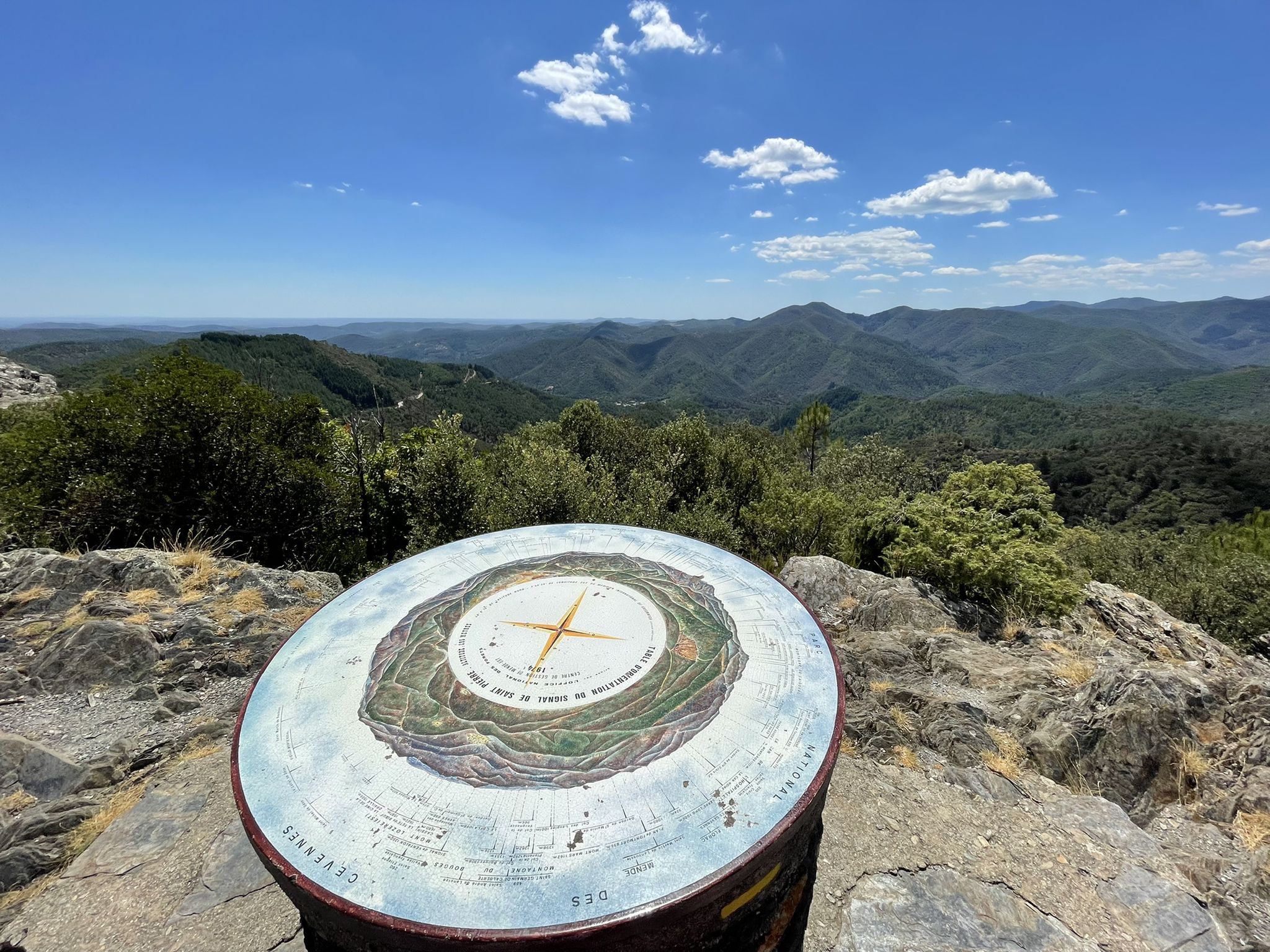
Hiking around Cans-Et-Cévennes offers diverse landscapes within the Cévennes National Park, a UNESCO World Heritage Site. The region features mountainous terrain with deep valleys and rugged ridges, contrasting with vast limestone plateaus known as Causses. Spectacular gorges, carved by rivers like the Tarn and Jonte, cut through the landscape, revealing impressive cliffs and unique rock formations. Peaks such as Mont Lozère and Mont Aigoual provide panoramic views and contribute to the area's rich biodiversity.
Best hiking trails around Cans-Et-Cévennes
- The…
Last updated: June 30, 2026
4.6
(28)
133
hikers
Moderate hike. Good fitness required. Easily-accessible paths. Suitable for all skill levels.
5.0
(3)
10
hikers
13.6km
04:08
470m
460m
Hike the moderate 8.4-mile Signal du Bougès loop from Col du Sapet in Cévennes National Park, featuring panoramic views and diverse terrain.

Sign up for free
4.7
(9)
69
hikers
Hard hike. Very good fitness required. Easily-accessible paths. Suitable for all skill levels.
4.8
(11)
44
hikers
9.04km
02:37
150m
150m
Moderate hike. Good fitness required. Mostly accessible paths. Sure-footedness required.
4.6
(5)
48
hikers
Moderate hike. Good fitness required. Easily-accessible paths. Suitable for all skill levels.
Get access to more routes and recommendations from other explorers.
Sign up for free
Already have an account?
Our route recommendations are based on thousands of hikes, rides, and runs completed by other people on komoot.
Start today with a free account
Your next adventure awaits.
Login or Signup
Popular around Cans-Et-Cévennes
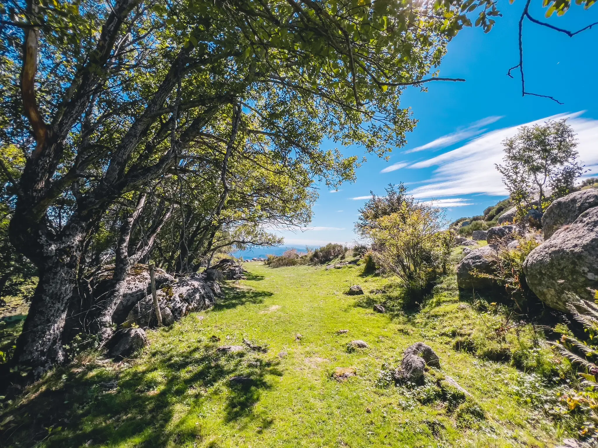
Hike through the Cévennes valleys in France – Chemin Camisard
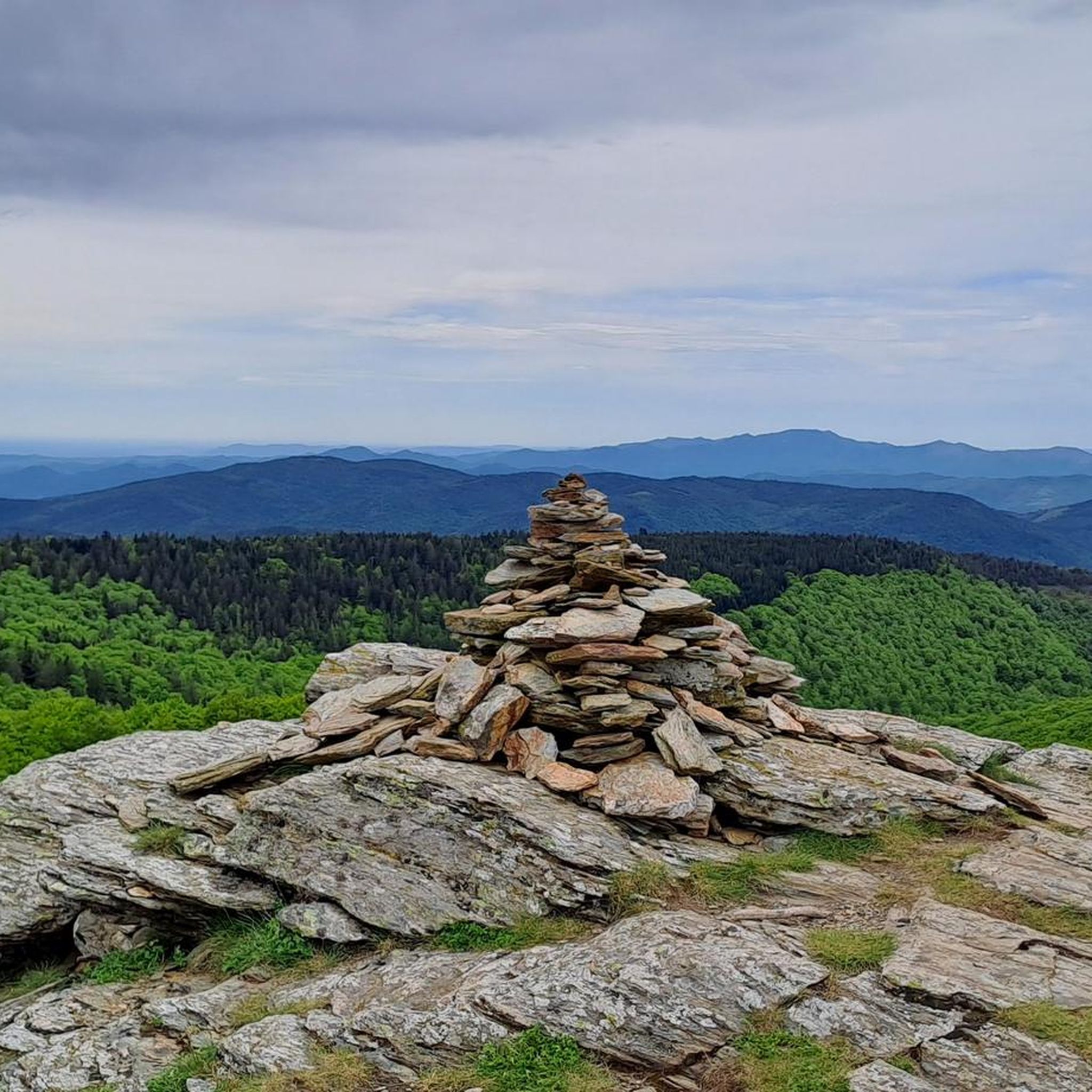
UNESCO landscapes and unique biodiversity – around Mont Lozère
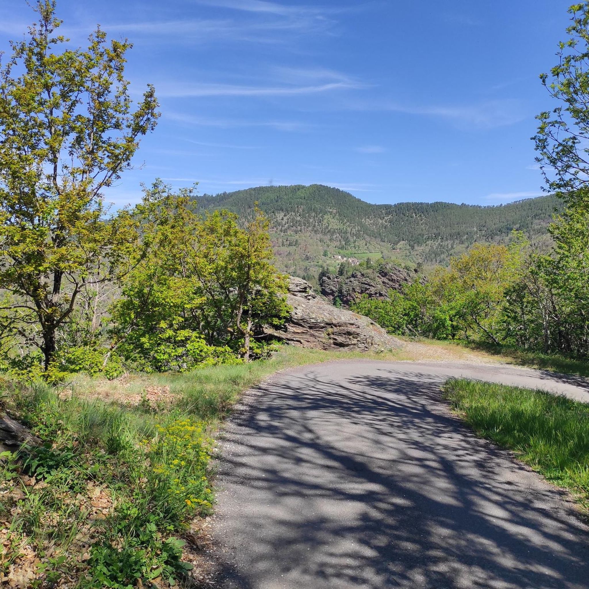
Road Cycling Routes around Cans-Et-Cévennes
Cycling around Cans-Et-Cévennes
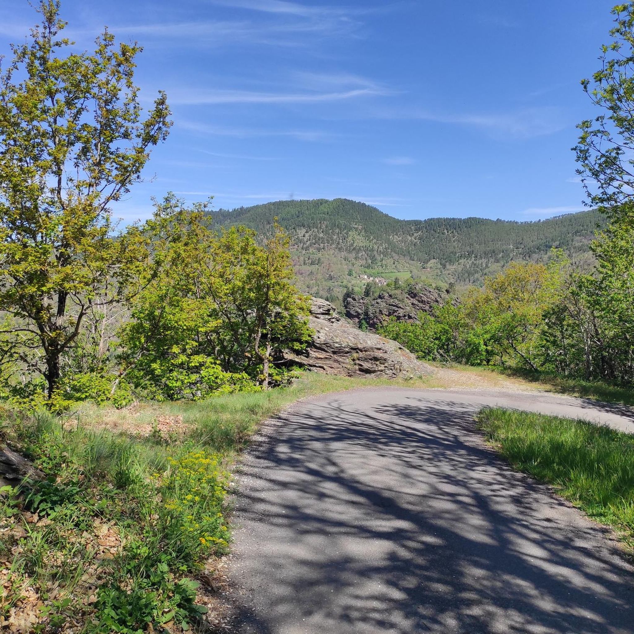
MTB Trails around Cans-Et-Cévennes
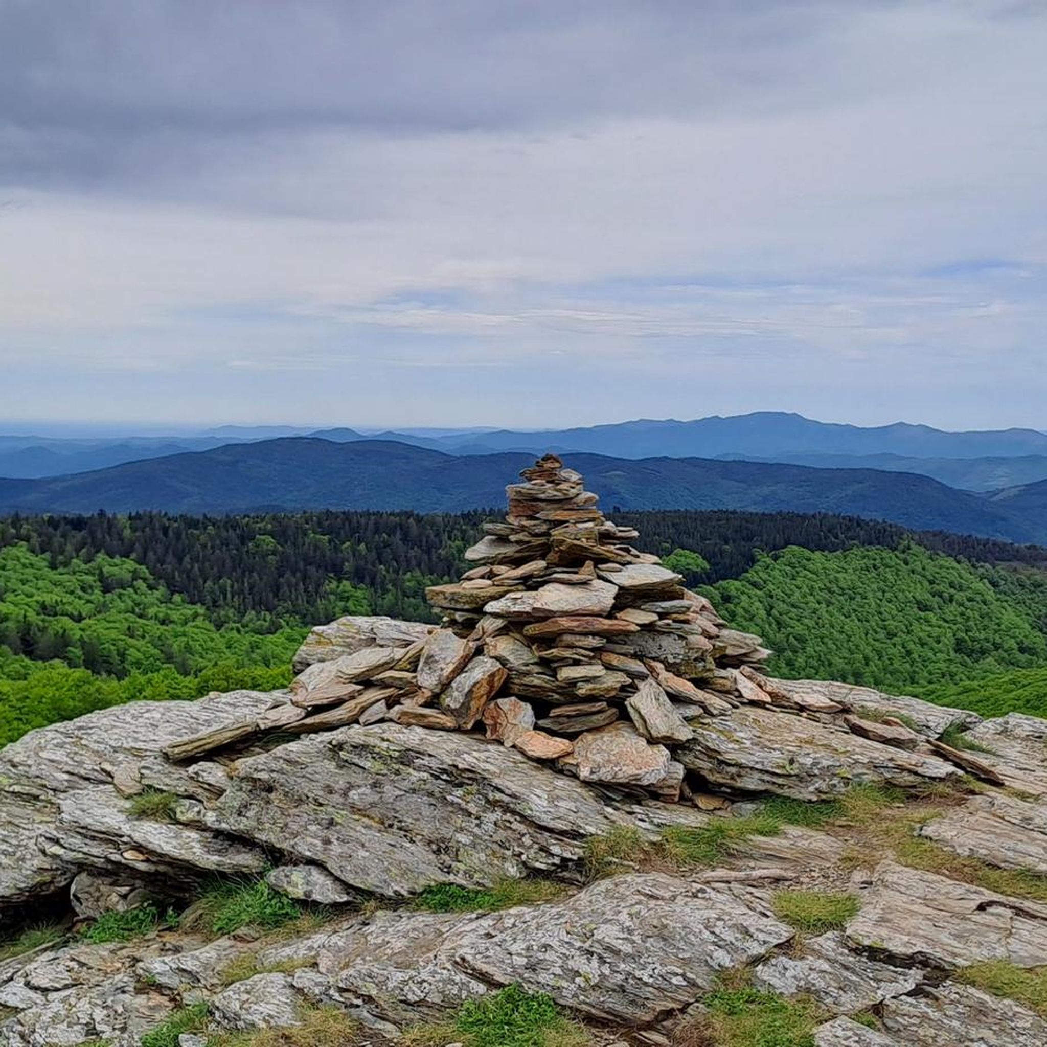
Running Trails around Cans-Et-Cévennes

Gravel biking around Cans-Et-Cévennes


Tips from the Community

The Col du Sapet overlooks the heart of the Cévennes National Park at an altitude of 1,080 meters. It is located on Mont du Bougès and serves as a starting point for numerous hiking trails. This pass is also particularly popular with local cyclists, with its 450-meter elevation gain and views of the Cévennes Mountains.
0
0

Quaint, lonely village with a fountain and a bench for a rest.
0
0
From the ridge you have a view in all directions. The path is easy to walk.
0
0
Beautiful view over the valley. The ruins can be visited, but the ceiling of the basement has partially collapsed, so be careful of holes.
1
0


fantastic tunnels, it feels like a movie
1
0

Excellent lodgings, excellent welcome and good and plentiful menu.
1
0
Frequently Asked Questions
How many hiking trails are available in Cans-et-Cévennes?
Cans-et-Cévennes, situated within the Cévennes National Park, offers an extensive network of trails. While this guide features over a dozen routes, the broader park boasts more than 5,000 km of paths, including over 300 one-day hikes and numerous long-distance itineraries.
What kind of terrain will I encounter on hikes in Cans-et-Cévennes?
The region presents a diverse landscape, from the mountainous terrain of the Cévennes with its deep valleys and rugged ridges, to the vast limestone plateaus (Causses) with karst relief. You'll also find spectacular gorges carved by rivers like the Tarn and Jonte, featuring impressive cliffs and unique rock formations.
Are there easy trails suitable for beginners or families with children?
Yes, the area offers trails for all abilities. While many routes are moderate to difficult, you can find easier walks. For example, the Moulin du Bougès – loop starting from Saint-Julien-D’Arpaon – Cévennes National Park is a moderate 5.6-mile (9.0 km) route that explores varied terrain and is a popular choice.
Can I find challenging long-distance hikes in the area?
Absolutely. Cans-et-Cévennes is known for its challenging routes, including sections of famous long-distance trails like the Stevenson Trail (GR70). For a demanding day hike, consider the Le Pont de la Barre – Cévennes Greenway loop from Saint-Julien-d'Arpaon, a difficult 18.6-mile (30.0 km) path offering expansive views.
Are there any circular hiking routes available?
Yes, many routes in the region are designed as loops. For instance, the Cévennes Greenway – Cassagnas Old Train Station loop from Moulin de Bougès is a 18.2-mile (29.4 km) circular trail that follows sections of the Cévennes Greenway.
What natural features or landmarks can I see along the trails?
The region is rich in natural wonders. You can explore impressive geological formations like the Chaos of Nîmes-le-Vieux, or seek out the 70-meter Cascade de Runes waterfall near Mont Lozère. Hikers can also discover perfectly preserved dinosaur footprints in Saint-Laurent-de-Trèves or the ancient Menhirs of "Cham des Bondons," one of France's most spectacular megalithic sites.
What historical or cultural sites can I explore while hiking?
Hiking trails often pass through picturesque hamlets, ancient villages, and medieval stone farms. You can visit places like Le Pont-de-Montvert or Florac-Trois-Rivières, which offer insights into the region's rich cultural heritage and agro-pastoral traditions. The area is also a UNESCO World Heritage Site, recognized for its cultural landscape.
Is Cans-et-Cévennes suitable for hiking with dogs?
Many trails in the Cévennes National Park are accessible for dogs, though regulations may vary in certain protected areas or during specific seasons, especially concerning wildlife. It's always best to keep dogs on a leash and check local signage. Ensure your dog is well-behaved and that you carry waste bags.
What is the best time of year to go hiking in Cans-et-Cévennes?
The region offers good hiking conditions for much of the year. Spring and autumn provide pleasant temperatures and vibrant landscapes. Summer can be warm, especially in the valleys, but higher elevations like Mont Lozère and Mont Aigoual offer cooler air. Winter hiking is possible, particularly at lower altitudes, but some higher trails may be affected by snow.
Are there opportunities for wild swimming near the hiking trails?
Yes, the rivers in Cans-et-Cévennes, such as the Tarn, Jonte, and Chassezac, offer opportunities for wild swimming during the warmer months. Many trails follow these rivers, providing access to refreshing spots to cool down after a hike.
What do other hikers enjoy most about Cans-et-Cévennes?
The area is highly rated by the komoot community, with an average score of 4.6 stars from over 800 reviews. Hikers frequently praise the stunning diversity of landscapes, from rugged mountains and deep gorges to vast plateaus, as well as the well-maintained trails and the sense of immersion in a preserved natural and cultural environment.
Are there any mountain passes I can hike to for panoramic views?
Yes, the region features several mountain passes that offer excellent viewpoints. You can hike to passes like Sapet Pass, Perjuret Pass, or Col de la Croix de Berthel for expansive vistas of the Cévennes and Causses landscapes.
Most popular routes around Cans-Et-Cévennes
Most popular attractions around Cans-Et-Cévennes

Get inspired with the komoot mobile app


Explore more
Browse the best Hikes in other regions.
