The best road cycling routes around Ducey-Les-Chéris
4.4
(91)
2,301
riders
17
rides
Road cycling routes around Ducey-Les-Chéris are situated in the Manche department of Normandy, France, characterized by a blend of natural beauty and historical significance. The terrain features the Sélune River, which flows through the area, and remnants of the ancient Scissy forest, such as the Bois d'Ardennes. Cyclists can expect routes that traverse greenways, salt marshes, and polders, offering views towards Mont-Saint-Michel. The region provides a mix of flat sections along riverbanks and greenways, with some moderate elevation changes.
Best…
Last updated: July 5, 2026
5.0
(2)
8
riders
47.5km
02:07
500m
500m
Moderate road ride. Good fitness required. Mostly well-paved surfaces and easy to ride.
5
riders
68.5km
03:12
710m
710m
Moderate road ride. Good fitness required. Some segments of this route may be unpaved and difficult to ride.

Sign up for free
5
riders
38.9km
01:40
340m
340m
Moderate road ride. Good fitness required. Mostly well-paved surfaces and easy to ride.
5.0
(3)
4
riders
45.4km
02:13
510m
510m
Moderate road ride. Good fitness required. Mostly well-paved surfaces and easy to ride.
5.0
(4)
3
riders
51.4km
02:23
540m
540m
Moderate road ride. Good fitness required. Some segments of this route may be unpaved and difficult to ride.
Get access to more routes and recommendations from other explorers.
Sign up for free
Already have an account?
Our route recommendations are based on thousands of hikes, rides, and runs completed by other people on komoot.
Start today with a free account
Your next adventure awaits.
Login or Signup
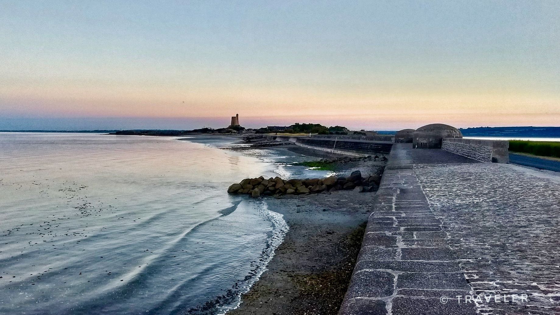
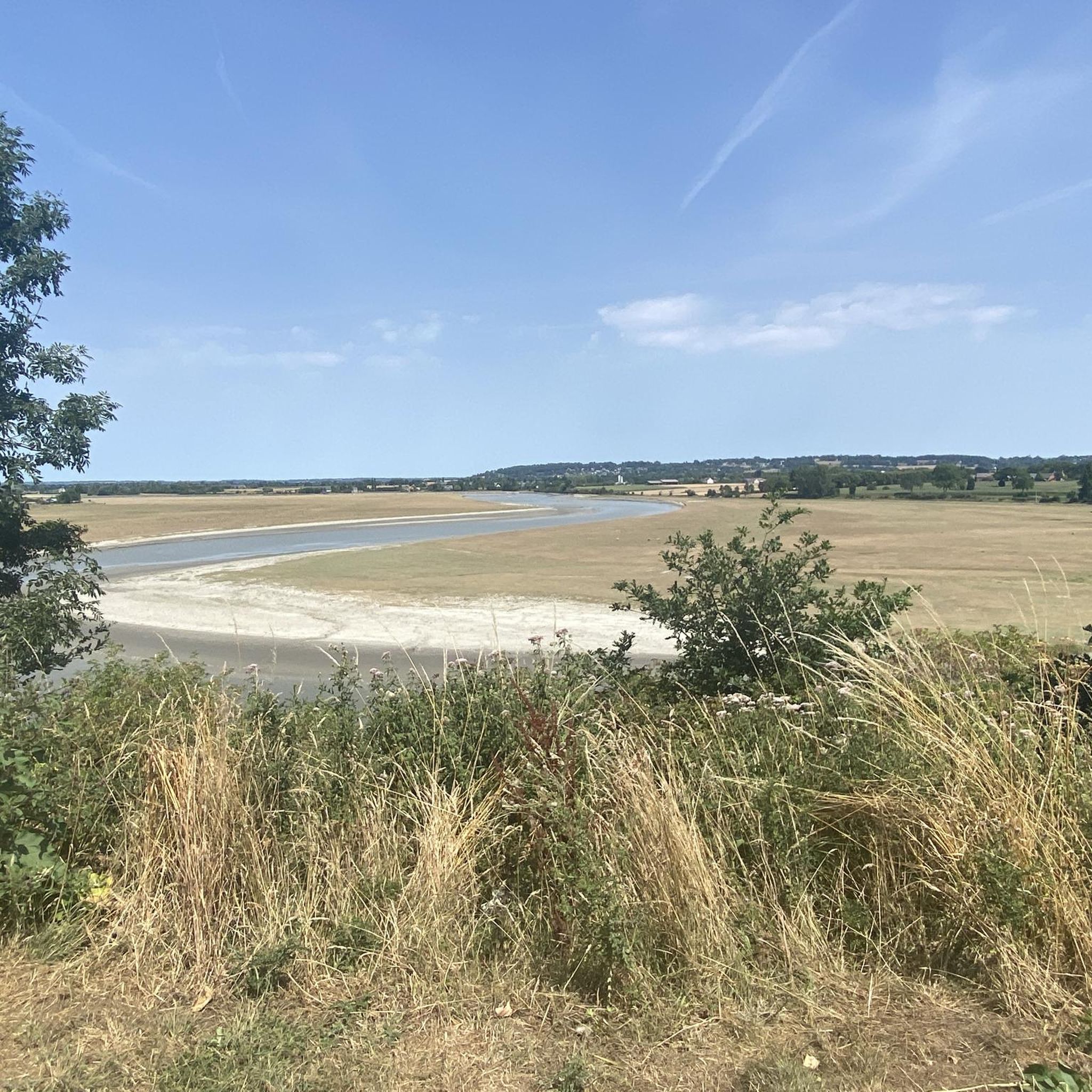

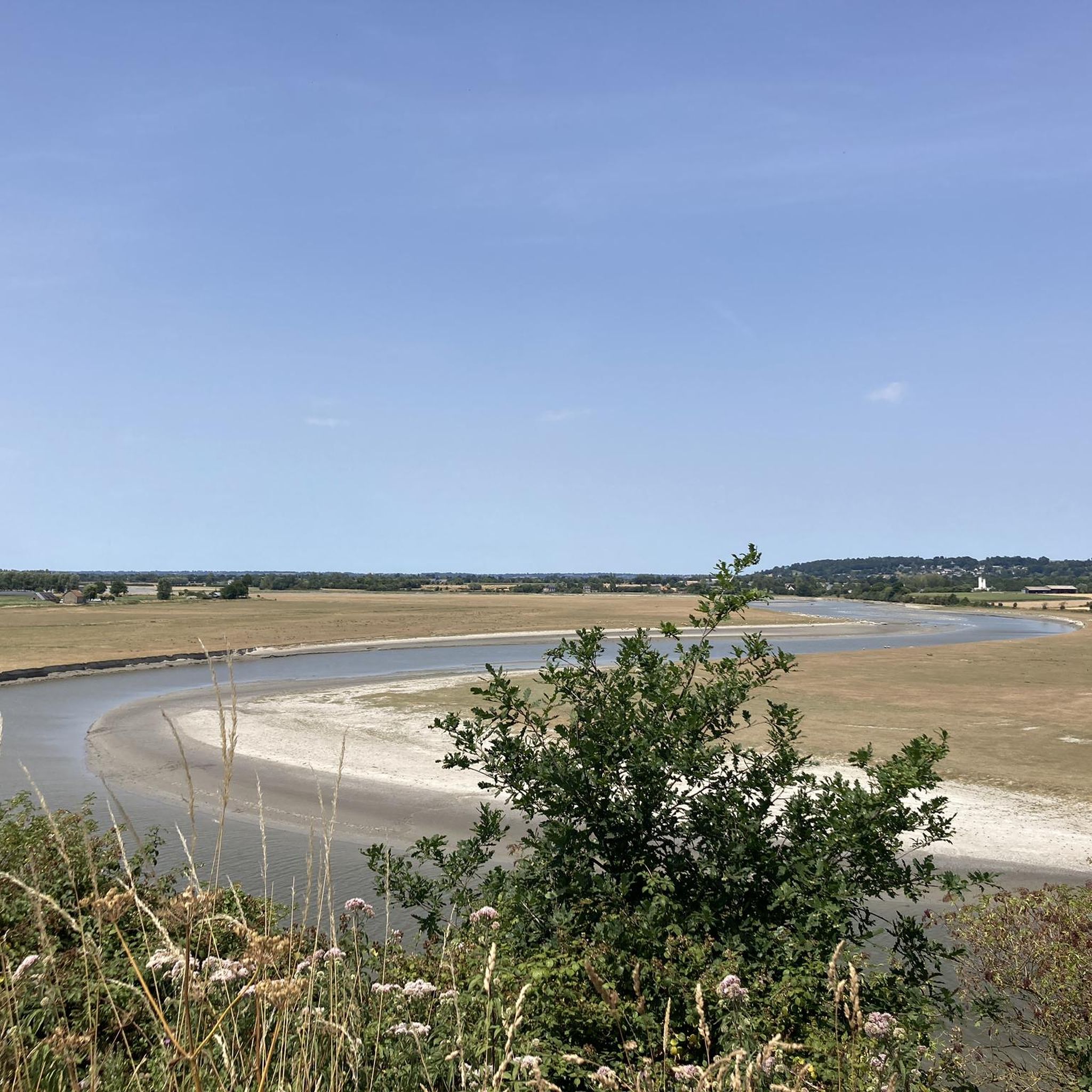
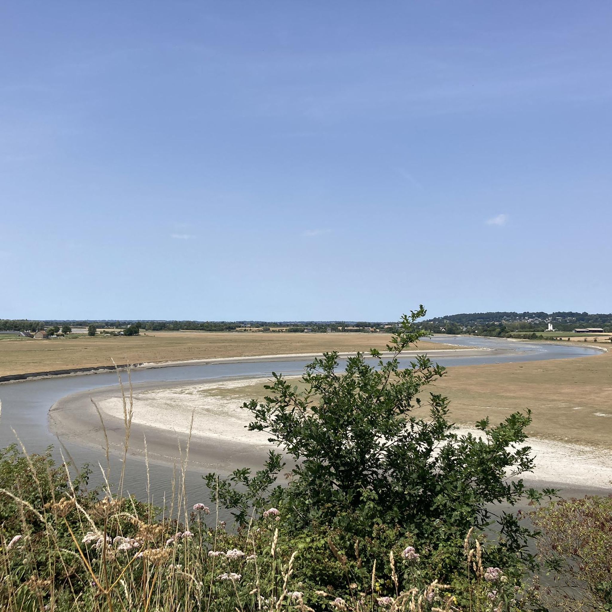

Other adventures around Ducey-Les-Chéris

Tips from the Community

We always discover a little more about the Sélune Valley along the back roads, and we're always amazed!
0
0

Beautiful route but there are no water points for the cans! Otherwise it's magnificent
0
0


great spot just past here to stop for a coffee or 2km further on in Isigby Le but there is a Boulangerie and a tabac for great sandwiches and coffee there is also a coccimarket
0
0

beautiful stained glass windows in this church which was spared by the bombings
0
0


In 2007, a “permanent exhibition on cycling” was inaugurated and more particularly on the passages of the tour in the locality and the various cycling events which took place as well as documentation on the former speaker of the Tour de France, Daniel Mangeas, originally from Saint-Martin-de-Landelles
0
0
Frequently Asked Questions
How many road cycling routes are available around Ducey-Les-Chéris?
There are over 20 road cycling routes around Ducey-Les-Chéris, offering a variety of options for different skill levels. The komoot community has explored these routes over 1400 times.
What kind of terrain can I expect on road cycling routes in Ducey-Les-Chéris?
The terrain around Ducey-Les-Chéris features a mix of landscapes. You'll find flat sections along riverbanks and greenways, particularly along the Sélune River, with some moderate elevation changes as you traverse the countryside. Routes often pass through salt marshes and polders, offering distant views towards Mont-Saint-Michel.
What are the difficulty levels of road cycling routes in Ducey-Les-Chéris?
Most road cycling routes in Ducey-Les-Chéris are classified as moderate, with 19 out of 20 routes falling into this category. There is also one easy route available, making the area accessible for various fitness levels.
Are there road cycling routes suitable for beginners or families in Ducey-Les-Chéris?
Yes, there is at least one easy road cycling route available. Additionally, many routes utilize greenways, such as sections of the Véloscénie, which are often paved and offer a more relaxed cycling experience suitable for families or those new to road cycling. An example is the Ducey – Voie verte de la Véloscénie loop from Ducey-les-Chéris.
Are there any long-distance road cycling options from Ducey-Les-Chéris?
Ducey-Les-Chéris is a pivotal stop on the Véloscénie, a renowned long-distance cycling route connecting Paris to Mont-Saint-Michel. This allows for extended rides, including routes like the Sélune Riverbank – View of Mont Saint-Michel loop from Ancienne Abbaye de Montmorel, which covers nearly 78 km.
What natural features can I see along the road cycling routes?
Road cycling routes often follow the picturesque Sélune River, known for its salmon and trout. You can also expect to see remnants of the ancient Scissy forest, such as the Bois d'Ardennes, and enjoy stunning views of Mont-Saint-Michel Bay, especially from locations like La Roche Torin.
Are there historical landmarks or attractions to visit while road cycling?
Absolutely. You can cycle past the historic Montgommery Castle, a 17th-century landmark on the banks of the Sélune. The Pontaubault Bridge, dating back to 1613, is another notable historical site. Many routes offer distant views of the iconic Mont-Saint-Michel.
Can I cycle to Mont-Saint-Michel from Ducey-Les-Chéris?
Yes, Ducey-Les-Chéris is well-positioned for cycling to Mont-Saint-Michel, which is about 20 kilometers away. The area features routes that offer stunning views of the Mont, and specific cycle paths are available, including sections of the Véloscénie that lead towards this iconic UNESCO World Heritage site.
Are there circular road cycling routes available?
Yes, many of the road cycling routes around Ducey-Les-Chéris are designed as loops, allowing you to start and end your ride in the same location. Examples include the Sélune Riverbank – View of Mont Saint-Michel loop from Ancienne Abbaye de Montmorel and the Ducey – La Grande Cascade de Mortain loop from Ducey-les-Chéris.
What is the best time of year for road cycling in Ducey-Les-Chéris?
The region is known for its pleasant natural setting, making spring, summer, and early autumn ideal for road cycling. These seasons offer favorable weather conditions to enjoy the green spaces, flowers, and scenic routes along the Sélune River and towards Mont-Saint-Michel.
What do other road cyclists say about the routes in Ducey-Les-Chéris?
The road cycling routes in Ducey-Les-Chéris are highly rated by the komoot community, with an average score of 4.4 stars from over 50 reviews. Cyclists often praise the varied terrain, the scenic views of Mont-Saint-Michel, and the well-maintained greenways.
Most popular routes around Ducey-Les-Chéris
Most popular attractions around Ducey-Les-Chéris

Get inspired with the komoot mobile app


Explore more
Browse the best Road cycling routes in other regions.
