The best road cycling routes around Pré-En-Pail-Saint-Samson
4.9
(12)
555
riders
102
rides
Road cycling routes around Pré-En-Pail-Saint-Samson traverse a landscape characterized by hedge-divided fields, known as bocage, and significant natural features. The region includes the Mont des Avaloirs, which at 416 meters is the highest point in the Armorican Massif, offering panoramic views. Cyclists can also find routes through forests and along rivers like the Sarthon Valley, within the Parc Naturel Régional Normandie-Maine. The area is also part of the Véloscénie, a long-distance cycling route.
Best road cycling routes around Pré-En-Pail-Saint-Samson
- The…
Last updated: July 9, 2026
5.0
(1)
14
riders
Moderate road ride. Good fitness required. Mostly well-paved surfaces and easy to ride.
15
riders
Hard road ride. Very good fitness required. Mostly well-paved surfaces and easy to ride.

Sign up for free
5.0
(1)
17
riders
46.7km
02:08
470m
470m
Moderate road ride. Good fitness required. Mostly well-paved surfaces and easy to ride.
7
riders
63.2km
02:57
590m
590m
Moderate road ride. Good fitness required. Mostly well-paved surfaces and easy to ride.
8
riders
Moderate road ride. Good fitness required. Mostly well-paved surfaces and easy to ride.
Get access to more routes and recommendations from other explorers.
Sign up for free
Already have an account?
Our route recommendations are based on thousands of hikes, rides, and runs completed by other people on komoot.
Start today with a free account
Your next adventure awaits.
Login or Signup


Tips from the Community

Perhaps the small botanical problem only exists in the German translation that the komoot system displays via Google, but: The highlight name refers to an "oak," but the text then refers to a "mammoth tree." But aside from this minor linguistic confusion, a beautiful carving can be found at this point in the forest.
0
0

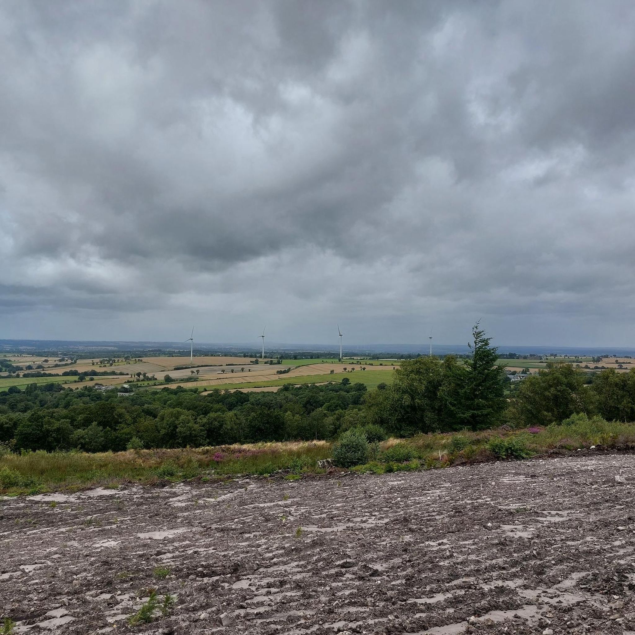
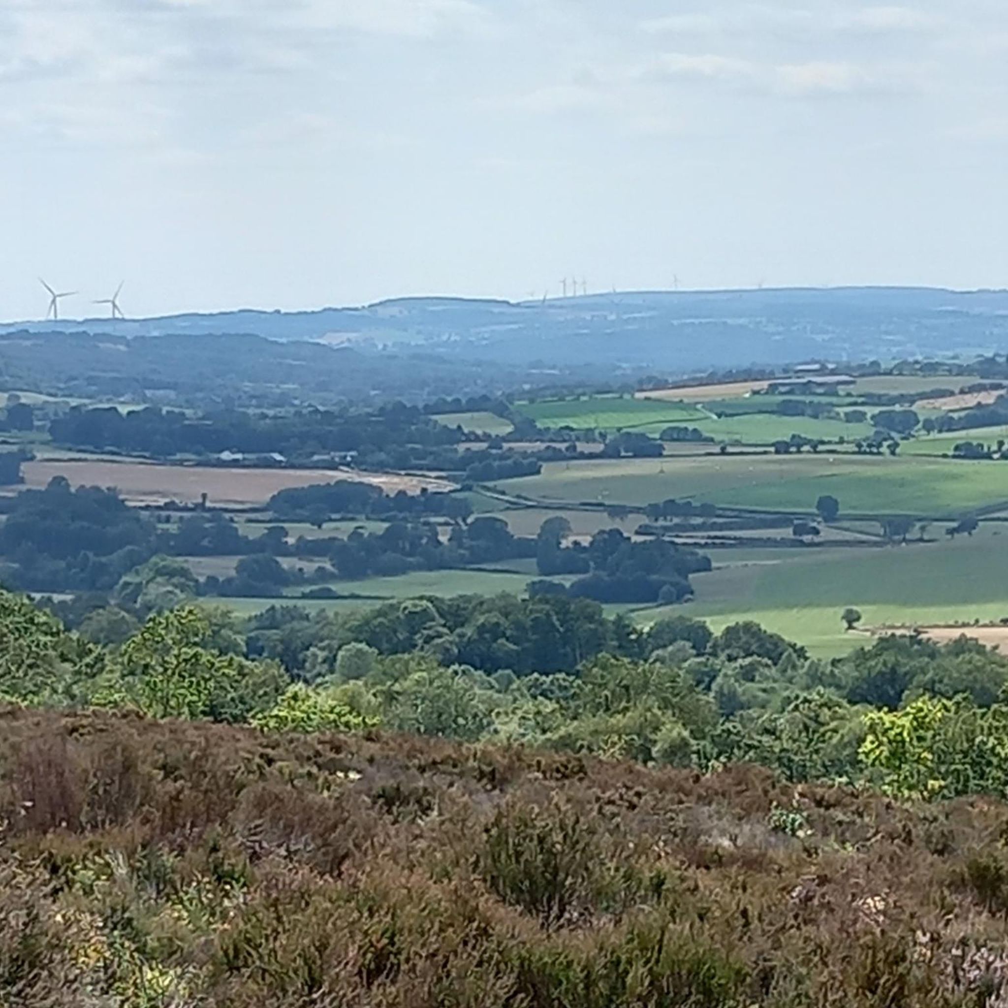
Riding up there by bike was quite strenuous, but the view from the top was worth the effort. It was well worth it.
0
0
Perhaps the small botanical problem only exists in the German translation that the komoot system displays via Google, but: The highlight name refers to an "oak," but the text then refers to a "mammoth tree." But aside from this minor linguistic confusion, a beautiful carving can be found at this point in the forest.
0
0

The church dates from the 13th and 16th centuries. The bell tower, porch, transept, and choir have been listed as historic monuments since December 22, 1927.
0
0

very varied and pleasant hike
0
0

2 perforations visible on the 12th photo of the Sherman M4A2 "Valois"
0
0

An endless false flat. Remember to carry water because there's nothing to refuel.
0
0

Beautiful 360 degree view
1
0
Frequently Asked Questions
How many road cycling routes are available in Pré-En-Pail-Saint-Samson?
There are over 100 road cycling routes around Pré-En-Pail-Saint-Samson listed on komoot, offering a wide range of options for cyclists of all abilities. These include 3 easy routes, 94 moderate routes, and 9 difficult routes.
What are the key natural features and landscapes I'll encounter while road cycling here?
The region is characterized by picturesque hedge-divided fields, known as bocage, and significant natural features within the Parc Naturel Régional Normandie-Maine. You'll find routes through forests, along rivers like the Sarthon Valley, and leading to the prominent Mont des Avaloirs, the highest point in the Armorican Massif.
Are there challenging climbs for experienced road cyclists?
Yes, for experienced cyclists seeking a challenge, the ascent to the Mont des Avaloirs viewpoint is notable. While the Véloscénie offers an easier path, a challenging 3 km detour with 130 meters of positive elevation gain leads directly to the summit. The climb from Boulay les Ifs to Mont des Avaloirs features an average gradient of 4.85% over 4 km, with sections reaching 11%.
Are there any family-friendly road cycling options or easier routes?
Absolutely. Pré-En-Pail-Saint-Samson is located along the Véloscénie, which includes family-friendly greenways. These often utilize former railway lines, providing smooth, safe, and easy rides through unspoilt areas like the Sarthon Valley. These sections are ideal for a relaxed cycling experience.
What kind of views and landmarks can I expect along the routes?
Many routes offer panoramic views, especially from the Mont des Avaloirs viewpoint, where on clear days, you might even spot Mont Saint-Michel. Other notable points include the Rochers du Sphinx and the Corniche of Pail. Routes also pass through charming villages and natural reserves.
What do other road cyclists say about cycling in Pré-En-Pail-Saint-Samson?
The road cycling routes in Pré-En-Pail-Saint-Samson are highly rated by the komoot community, with an average score of 4.6 stars from over 14 reviews. Cyclists often praise the varied regional landscapes, the mix of challenging climbs and easier greenway sections, and the scenic beauty of the hedge-divided fields and forests.
Are there any circular road cycling routes available?
Yes, many of the routes around Pré-En-Pail-Saint-Samson are designed as loops. For example, you can explore the Mont des Avaloirs viewpoint – Multonne Forest loop or the Saint-Pierre Church – The Pail Ridge loop, allowing you to start and finish in the same location.
Can I access the Véloscénie long-distance cycling route from Pré-En-Pail-Saint-Samson?
Yes, Pré-En-Pail-Saint-Samson is strategically located along the Véloscénie, the renowned long-distance cycling route connecting Paris to Mont Saint-Michel. This makes it an excellent base for exploring sections of this epic journey. You can find more information about the Véloscénie on France Vélo Tourisme.
What is the terrain like on the road cycling routes?
The terrain is diverse, ranging from relatively flat greenways to rolling hills and significant climbs, particularly around the Mont des Avaloirs. You'll cycle through a mix of open bocage landscapes, dense forests, and along river valleys, offering varied surfaces and gradients.
Are there any longer road cycling routes for extended rides?
For those seeking longer rides, options like the Saint-Cénéri-le-Gérei – Saint-Léonard-des-Bois loop, which is 58.5 km, or the Forêt de Monnaie – The Pail Ridge loop at 77.8 km, provide greater distances and elevation gains for a more demanding experience.
What amenities are available for cyclists in the region?
The region focuses on sustainable tourism, and you can find amenities such as bike repair stations and rest areas along popular routes, especially on the Véloscénie greenways. Local towns and villages also offer cafes, pubs, and accommodation options for cyclists.
Most popular routes around Pré-En-Pail-Saint-Samson
Most popular attractions around Pré-En-Pail-Saint-Samson

Get inspired with the komoot mobile app


Explore more
Browse the best Road cycling routes in other regions.
