The best walks and hikes around Rémalard-En-Perche
4.5
(166)
906
hikers
129
hikes
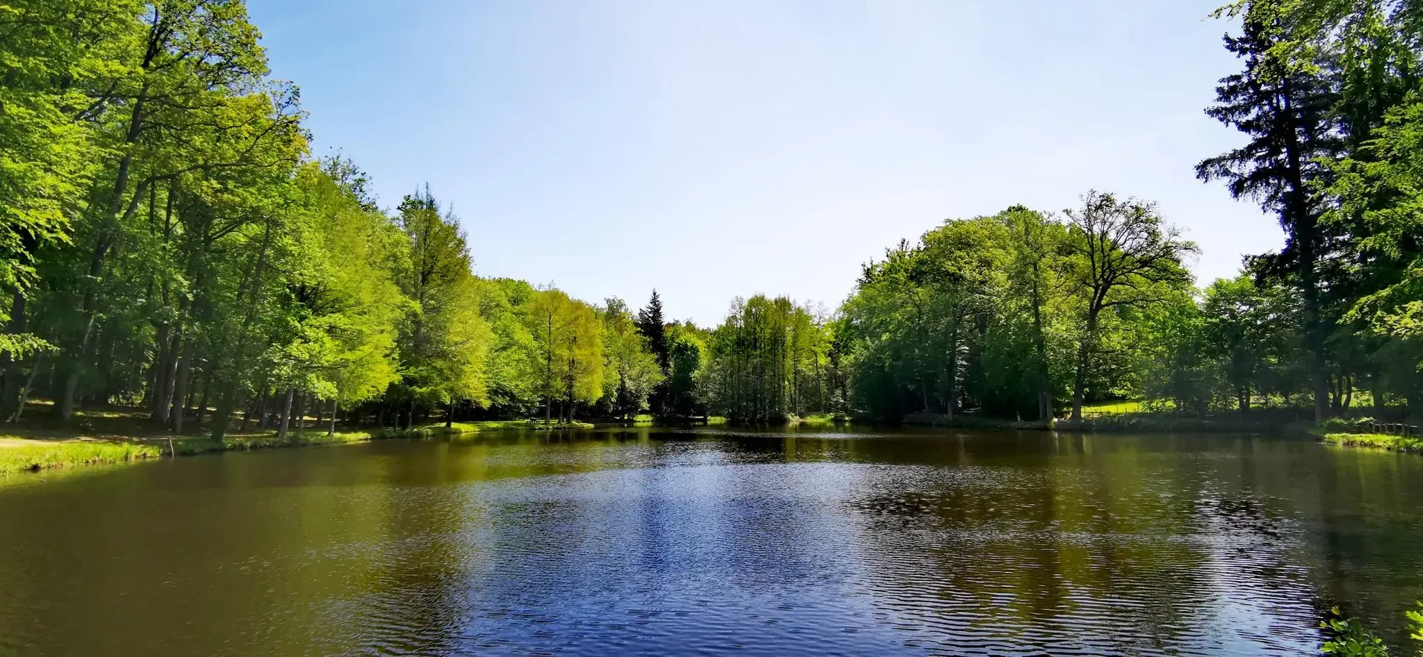
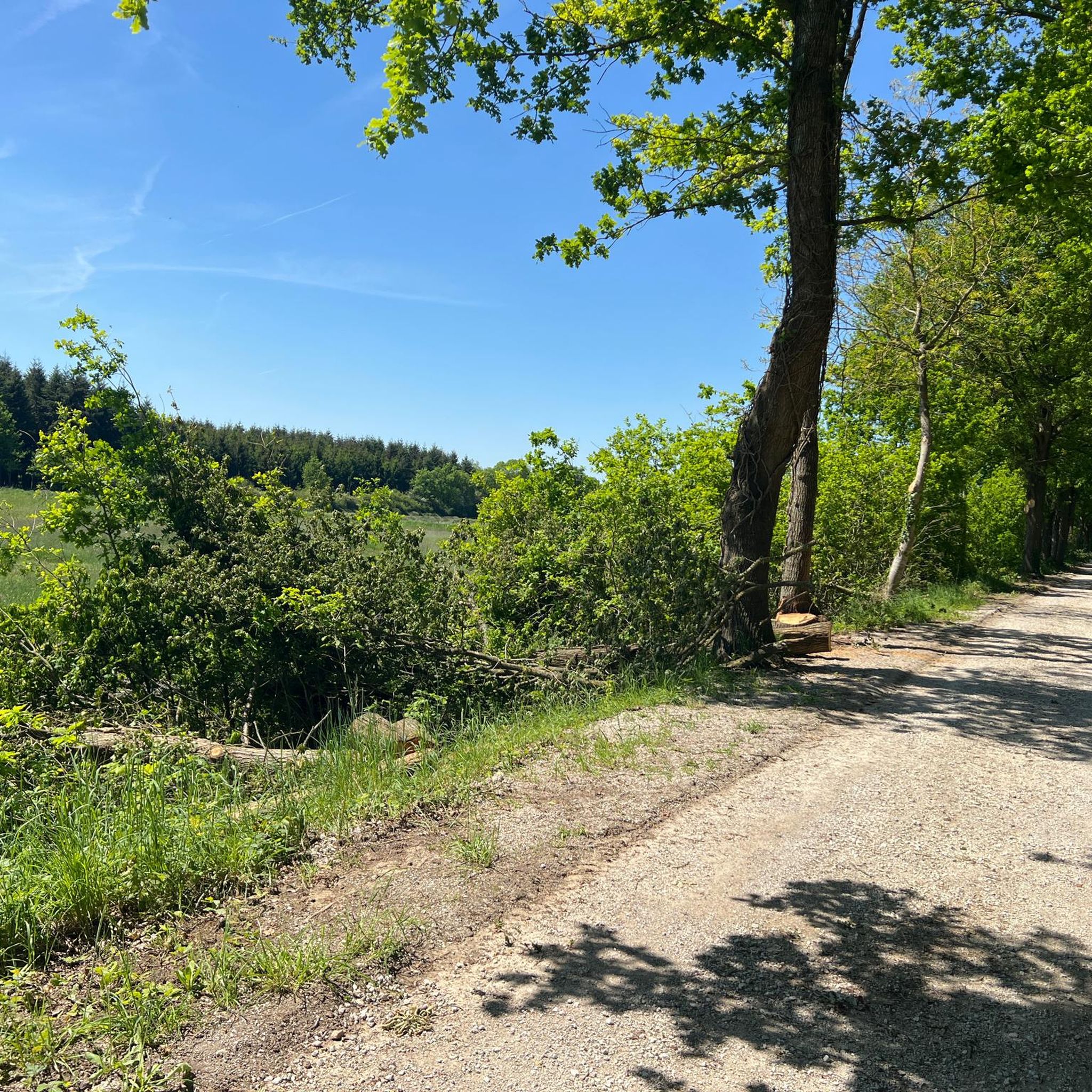
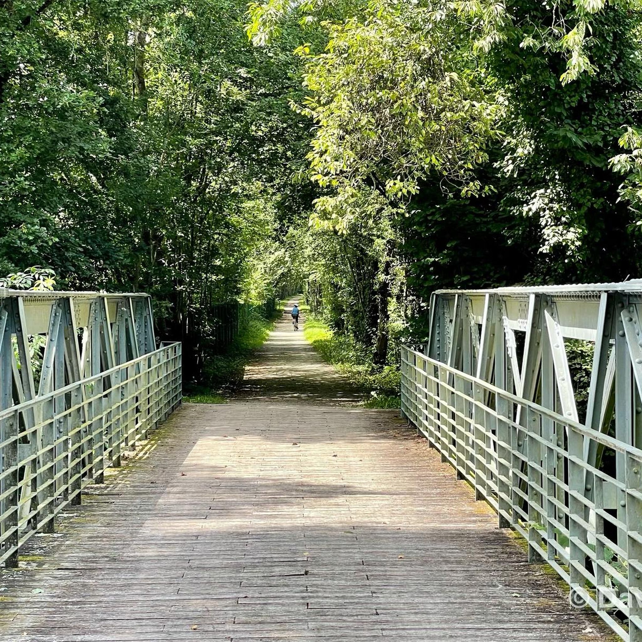
Hiking around Rémalard-En-Perche offers routes through the rolling hills and woodlands characteristic of the Perche Regional Natural Park. The landscape features a mix of agricultural fields, dense forests, and river valleys. Trails often follow ancient paths and greenways, providing varied terrain for exploration.
Best hiking trails around Rémalard-En-Perche
- The most popular hiking route is On the greenway – Rémalard loop from Rémalard en Perche, an easy 4.4 miles (7.1 km) trail that takes 1 hour 53 minutes to complete.…
Last updated: May 24, 2026
4.8
(4)
21
hikers
6.73km
01:48
80m
80m
Easy hike. Great for any fitness level. Easily-accessible paths. Suitable for all skill levels.
5.0
(1)
14
hikers
25.0km
06:47
350m
350m
Hard hike. Very good fitness required. Easily-accessible paths. Suitable for all skill levels.

Sign up for free
4.5
(2)
7
hikers
9.88km
02:40
130m
130m
Moderate hike. Good fitness required. Easily-accessible paths. Suitable for all skill levels.
9
hikers
25.5km
06:58
400m
400m
Hard hike. Very good fitness required. Easily-accessible paths. Suitable for all skill levels.
5.0
(2)
4
hikers
6.07km
01:37
70m
70m
Easy hike. Great for any fitness level. Easily-accessible paths. Suitable for all skill levels.
Get access to more routes and recommendations from other explorers.
Sign up for free
Already have an account?
Our route recommendations are based on thousands of hikes, rides, and runs completed by other people on komoot.
Start today with a free account
Your next adventure awaits.
Login or Signup


Other adventures around Rémalard-En-Perche

Tips from the Community

Moutiers is one of the oldest villages in the Perche region, built around a monastery founded in the 6th century and destroyed by the Norman invasions. This is where the village's name comes from, since "Moutiers" means monastery in Old French. On the slopes of the hill, called Mont Harou, stands the church, flanked by a few typical Perche houses that form the old town. To reach it, you'll have to navigate the steep, straight climb of Church Street or take a detour through small streets that soften the steepness of the climb. The church square offers a beautiful view of the surrounding area. Don't forget to walk around the church to admire the gargoyles, which are quite exceptional for such a small church. Restrooms and water are available right next door.
0
0

Be careful, the climb is not easy!!!
0
0


At the crossroads of several magical secondary roads, Moutiers-au-Perche offers a lovely heritage stopover during your cycling trips in the Percheron countryside.
0
0
Rémalard is a typical commune of Perche. It is located at the bottom of the Huisne valley, in the middle of a delightful hilly landscape.
0
0

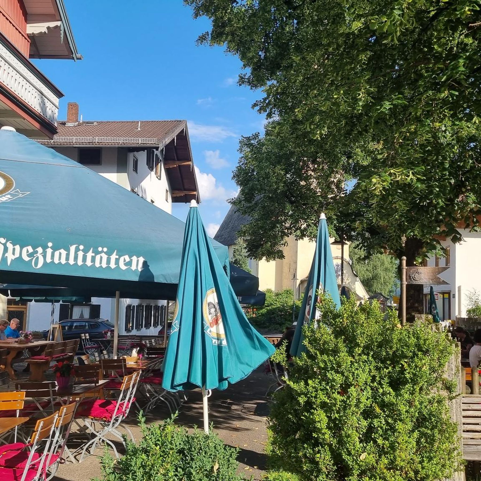
Restaurant En Gare - simply great! Fine dining at affordable prices (19 euros for 3 courses), in a relaxed atmosphere! Be sure to make a reservation and treat yourself to culinary delights!
0
0

Pleasant walk between forest, meadows and pretty Percheron buildings
0
0
Built in the 15th century, this castle stands on the heights of the Huisne valley. Not open to visitors, it is however possible to admire it behind a pretty entrance gate listed as a historical monument.
0
0
Frequently Asked Questions
What types of hiking trails can I find around Rémalard-En-Perche?
The trails around Rémalard-En-Perche primarily feature the rolling hills and woodlands characteristic of the Perche Regional Natural Park. You'll encounter a mix of agricultural fields, dense forests, and river valleys, often following ancient paths and greenways. The terrain offers varied exploration, from gentle strolls to more moderate excursions.
How many hiking routes are available in Rémalard-En-Perche?
There are over 115 hiking routes available around Rémalard-En-Perche, catering to various skill levels. This includes 54 easy trails, 55 moderate trails, and 7 more challenging options.
Are there easy hiking trails suitable for beginners or families?
Yes, Rémalard-En-Perche offers many easy trails perfect for beginners or families. An excellent option is the Château de Maison-Maugis loop from Cour-Maugis sur Huisne, a 3.8-mile (6.1 km) trail that takes about 1 hour 37 minutes to complete, leading through rural landscapes and past historic sites.
What is the typical duration of hikes in the area?
Hike durations vary widely. Many of the popular routes, like the On the greenway – Rémalard loop from Rémalard en Perche, take around 1 hour 53 minutes for 4.4 miles (7.1 km). Longer, moderate trails such as the Dolmen dit la Grosse Pierre loop from Rémalard can take approximately 2 hours 40 minutes for 6.1 miles (9.9 km).
Are there any circular hiking routes?
Yes, many trails in the region are circular, allowing you to start and end at the same point. For example, the Rémalard loop from Rémalard en Perche is a moderate 5.5-mile (8.9 km) circular route that explores the local surroundings.
What interesting landmarks or attractions can I see while hiking?
The region is rich in history and natural beauty. You can explore charming towns like Bellême, visit the impressive Basilica of Our Lady of Montligeon, or discover historical sites such as the Former Rémalard-Bellou Station. Many trails also pass by ancient structures like the dolmen mentioned in the 'Dolmen dit la Grosse Pierre' route.
When is the best time of year to go hiking in Rémalard-En-Perche?
The best time for hiking in Rémalard-En-Perche is generally from spring through autumn (April to October), when the weather is mild and the natural landscape is at its most vibrant. Spring brings blooming wildflowers, while autumn offers beautiful foliage. Summer is also pleasant, though trails can be busier.
What do other hikers say about the trails in Rémalard-En-Perche?
The hiking routes in Rémalard-En-Perche are highly rated by the komoot community, with an average score of 4.4 stars from over 150 reviews. Hikers often praise the peaceful greenways, the diverse forested sections, and the gentle hills that make for enjoyable walks.
Are the trails in Rémalard-En-Perche dog-friendly?
While specific regulations can vary, many trails in the Perche Regional Natural Park are generally dog-friendly, especially if dogs are kept on a leash. It's always a good idea to check local signage or specific route details for any restrictions before heading out with your canine companion.
Is parking available at the trailheads?
Parking is generally available in or near the starting points of many trails, particularly in and around Rémalard-En-Perche itself and other villages like Cour-Maugis sur Huisne. Look for designated parking areas in towns or small car parks near popular trail access points.
Are there any trails that follow a greenway?
Yes, the region is known for its greenways. The On the greenway loop from Rémalard en Perche is a moderate 5.2-mile (8.4 km) route that specifically utilizes these gentle paths, offering a smooth and scenic hiking experience.
Most popular routes around Rémalard-En-Perche
Most popular attractions around Rémalard-En-Perche

Get inspired with the komoot mobile app


Explore more
Browse the best Hikes in other regions.
