
The best running trails around Val-Au-Perche
4.4
(36)
2,336
runners
235
runs
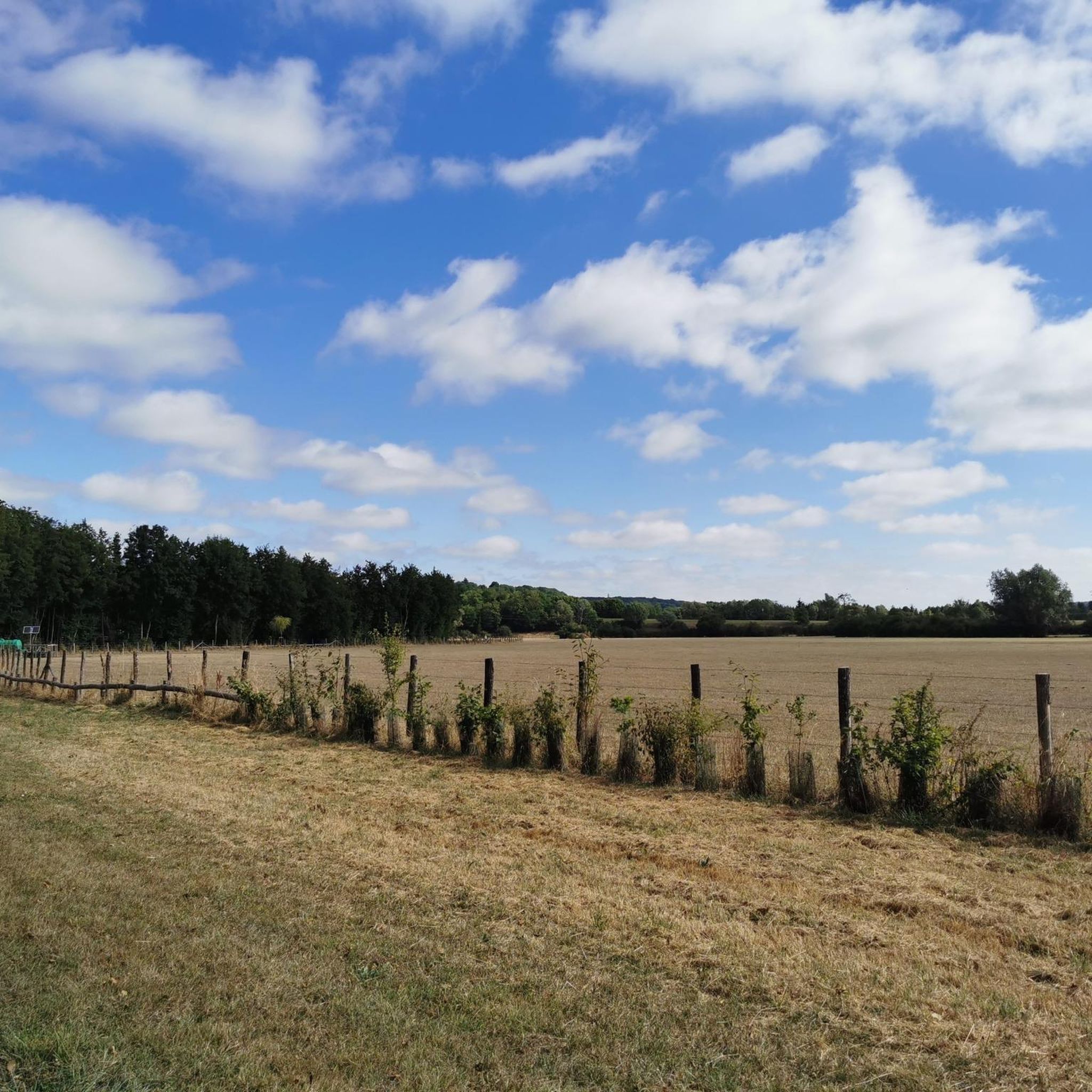
Jogging routes Val-Au-Perche traverse a landscape characterized by rolling hills and extensive woodlands, offering varied terrain for runners. The region features a network of paths that wind through rural areas, with elevation gains ranging from moderate to more challenging. These routes often provide views of the surrounding countryside and connect various small villages. The natural environment supports both shorter, easier runs and longer, more demanding endurance training.
Best jogging routes around Val-Au-Perche
- The most popular jogging route is Running loop…
Last updated: October 8, 2026
5.0
(1)
9
runners
5.95km
00:43
80m
80m
Moderate run. Good fitness required. Mostly paved surfaces. Suitable for all skill levels.
5.0
(2)
5
runners
21.2km
02:28
320m
320m
Hard run. Very good fitness required. Mostly paved surfaces. Suitable for all skill levels.

7
runners
8.18km
00:53
120m
120m
Moderate run. Good fitness required. Mostly paved surfaces. Suitable for all skill levels.
5.0
(1)
4
runners
19.9km
02:24
350m
350m
Hard run. Very good fitness required. Mostly paved surfaces. Suitable for all skill levels.
3.0
(1)
6
runners
8.76km
00:55
70m
70m
Moderate run. Good fitness required. Mostly paved surfaces. Suitable for all skill levels.
Get access to more routes and recommendations from other explorers.
Already have an account?
Our route recommendations are based on thousands of hikes, rides, and runs completed by other people on komoot.
Start today with a free account
Your next adventure awaits.


Frequently Asked Questions
How many running routes are available in Val-Au-Perche?
Val-Au-Perche offers a wide selection of running routes, with over 220 trails recorded on komoot. These range from easy to difficult, catering to various fitness levels.
Are there easy running routes suitable for beginners in Val-Au-Perche?
Yes, Val-Au-Perche has 16 easy running routes perfect for beginners or those looking for a relaxed jog. These trails typically feature gentler terrain and shorter distances.
Where can I find longer running trails for endurance training in Val-Au-Perche?
For more challenging, long-distance runs, Val-Au-Perche offers 40 difficult routes. A notable option is the Running loop from Le Theil - La Rouge, which spans 13.2 miles (21.2 km) and includes significant elevation changes.
What do other runners enjoy most about jogging in Val-Au-Perche?
The running routes in Val-Au-Perche are highly rated by the komoot community, with an average score of 4.4 stars from over 10 reviews. Runners often praise the varied terrain, which includes rolling hills and extensive woodlands, and the scenic rural paths.
Are there any circular running routes in Val-Au-Perche?
Many of the running routes in Val-Au-Perche are circular, allowing you to start and finish at the same point. Examples include the popular Running loop from Préaux-du-Perche and the Running loop from Le Theil.
What kind of terrain can I expect on the running trails around Val-Au-Perche?
The terrain in Val-Au-Perche is characterized by rolling hills and extensive woodlands. You'll encounter a network of paths winding through rural areas, with elevation gains ranging from moderate to more challenging, offering a diverse running experience.
Are there any scenic viewpoints or attractions along the jogging routes?
While jogging, you can enjoy views of the surrounding countryside. For specific attractions, consider exploring nearby highlights such as Nogent-le-Rotrou Castle or the charming settlement of Bellême, which are close to some routes.
Can I find running routes that pass through villages or towns in the region?
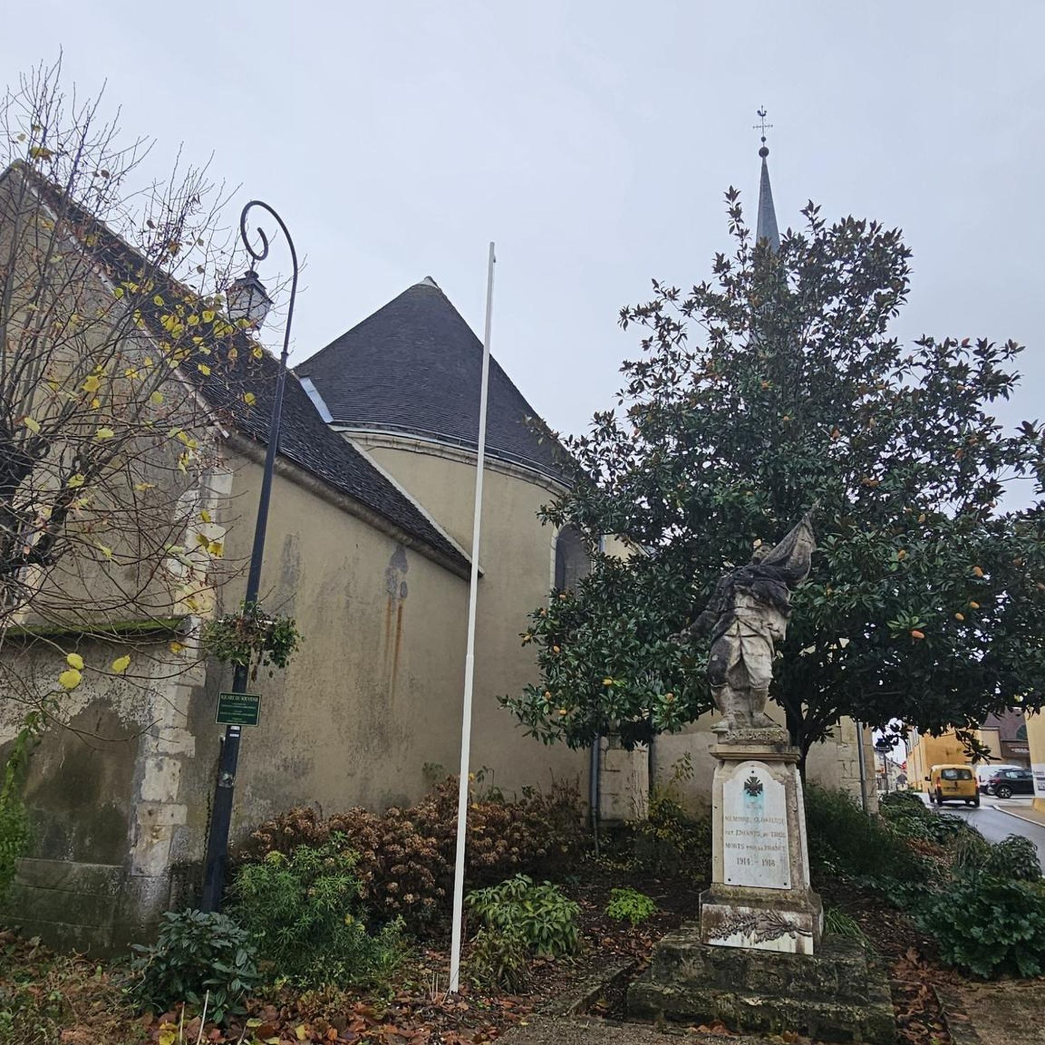
Yes, many routes in Val-Au-Perche connect various small villages, offering a chance to experience the local charm. For instance, the Running loop from Gémages starts and ends in the village of Gémages.
What is a good running route for an intermediate level in Val-Au-Perche?
For intermediate runners, the Running loop from Gémages is a great choice. It's a moderate 5.1 miles (8.2 km) trail with a balanced amount of elevation, offering a good challenge without being overly strenuous.
Are there any particularly long or challenging running routes for experienced athletes?
Experienced athletes looking for a significant challenge might consider the Running loop from Saint-Germain-de-la-Coudre. This difficult route covers nearly 12.4 miles (20 km) and features substantial elevation changes, making it ideal for endurance training.
What kind of natural environment defines the running experience in Val-Au-Perche?
The natural environment of Val-Au-Perche is defined by its picturesque rural landscapes, characterized by rolling hills and extensive woodlands. Runners can expect to traverse through forests, open fields, and along quiet country lanes, providing a refreshing outdoor experience.
Most popular routes around Val-Au-Perche
Most popular attractions around Val-Au-Perche

Get inspired with the komoot mobile app


Explore more
Browse the best Running Trails & Routes in other regions.
