The best running trails around Gavarnie-Gèdre
4.7
(16)
1,616
runners
57
runs
Jogging around Gavarnie-Gèdre offers diverse terrain within the French Pyrenees, characterized by monumental glacial cirques and high mountain peaks. The region features dramatic rock walls, deep valleys, and varied landscapes ranging from wild forests to high-altitude natural monuments. Jogging routes here often include significant elevation changes, providing a challenging experience for runners.
Best jogging routes around Gavarnie-Gèdre
- The most popular jogging route is Trail of lake Marboré, a 11.7 miles (18.9 km) trail that takes 4 hours 12 minutes to complete. This difficult route features substantial elevation gain through the high mountains.
- Another top favourite among local runners is Aires Lakes Trail loop from Auberge du Maillet, a difficult 7.1 miles (11.5 km) path. This route offers a challenging run through mountainous terrain with notable ascents.
- Local runners also love the Espuguettes Refuge – Small Bridge loop from Gavarnie, a 9.9 miles (15.9 km) trail leading through high mountain landscapes, often completed in about 3 hours 23 minutes.
- Jogging around Gavarnie-Gèdre is defined by glacial cirques, mountain peaks, and varied valleys. The network offers options for different ability levels, from accessible paths to demanding alpine routes.
- The routes in Gavarnie-Gèdre are highly rated by the komoot community with an average score of 5.0 stars from more than 5 reviews. More than 600 runners have used komoot to explore Gavarnie-Gèdre's varied terrain.
Last updated: October 19, 2026
15
runners
18.9km
04:12
1,100m
1,130m
Hard run. Very good fitness required. Sure-footedness, sturdy shoes and alpine experience required.
5.0
(2)
485
runners
10.1km
01:13
340m
340m
Hard run. Very good fitness required. Mostly accessible paths. Some sure footedness required.

83
runners
11.5km
02:01
640m
640m
Hard run. Very good fitness required. Sure-footedness, sturdy shoes and alpine experience required.
50
runners
40.0km
07:25
2,490m
2,490m
Hard run. Very good fitness required. Sure-footedness, sturdy shoes and alpine experience required.
5.0
(1)
52
runners
15.9km
03:24
1,250m
1,250m
Hard run. Very good fitness required. Sure-footedness, sturdy shoes and alpine experience required.
Get access to more routes and recommendations from other explorers.
Already have an account?
Our route recommendations are based on thousands of hikes, rides, and runs completed by other people on komoot.
Start today with a free account
Your next adventure awaits.
Popular around Gavarnie-Gèdre
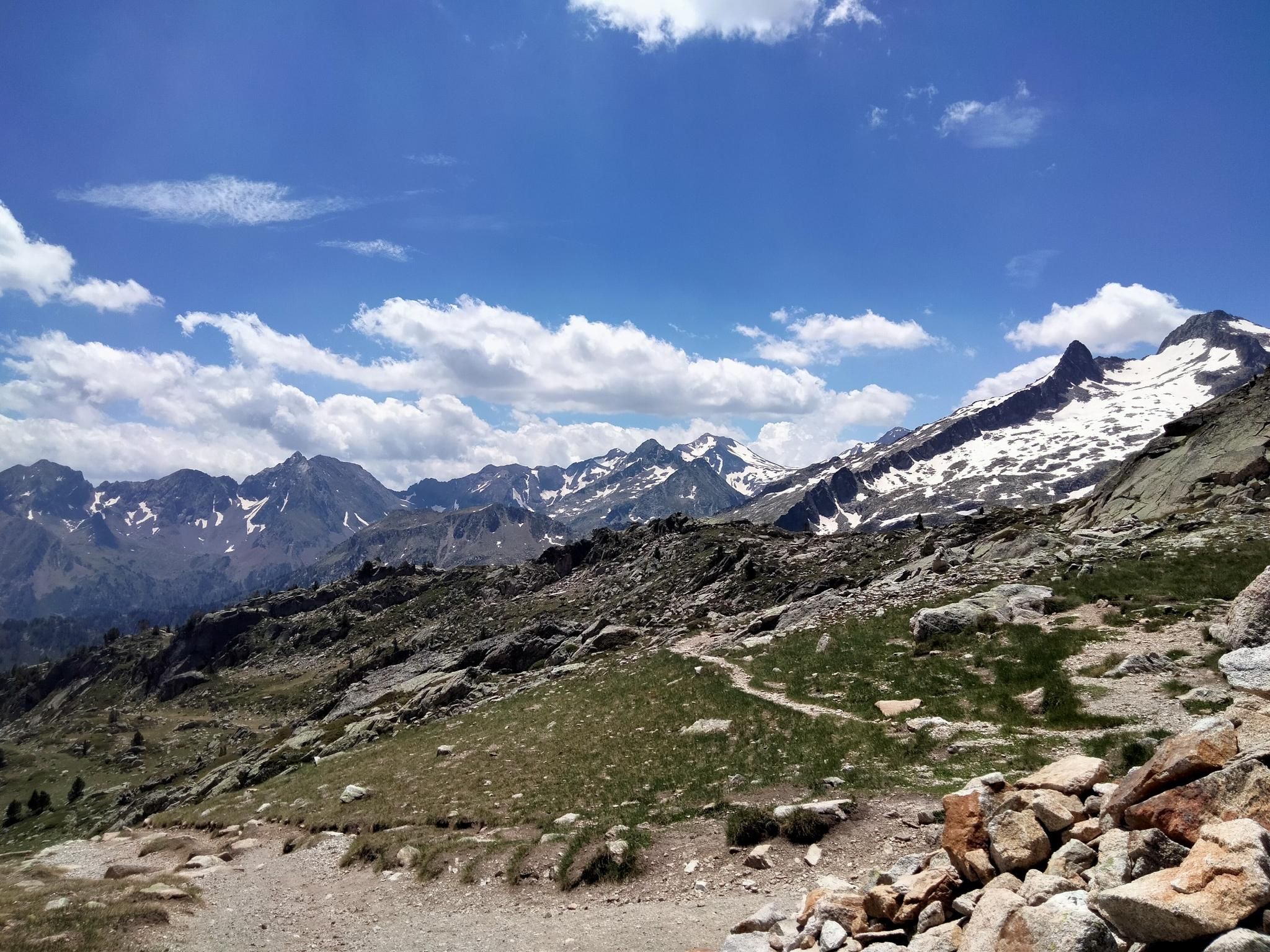
Hexatrek, the western and central Pyrenees – Between mountains and the ocean
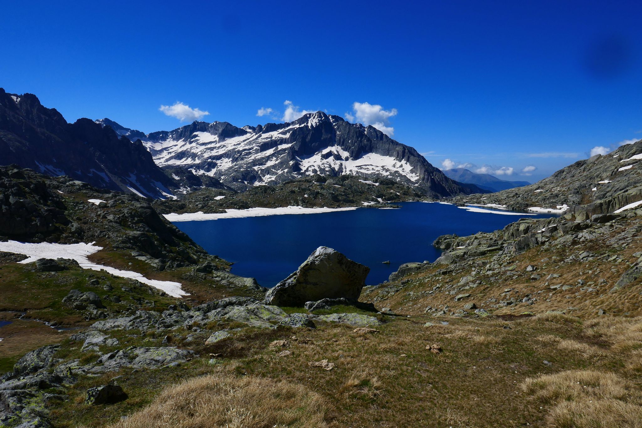
GR 10 – Central Pyrenees crossing the Pyrenees

Panoramic Pyrenees – 15 hikers' peaks of over 3,000 metres
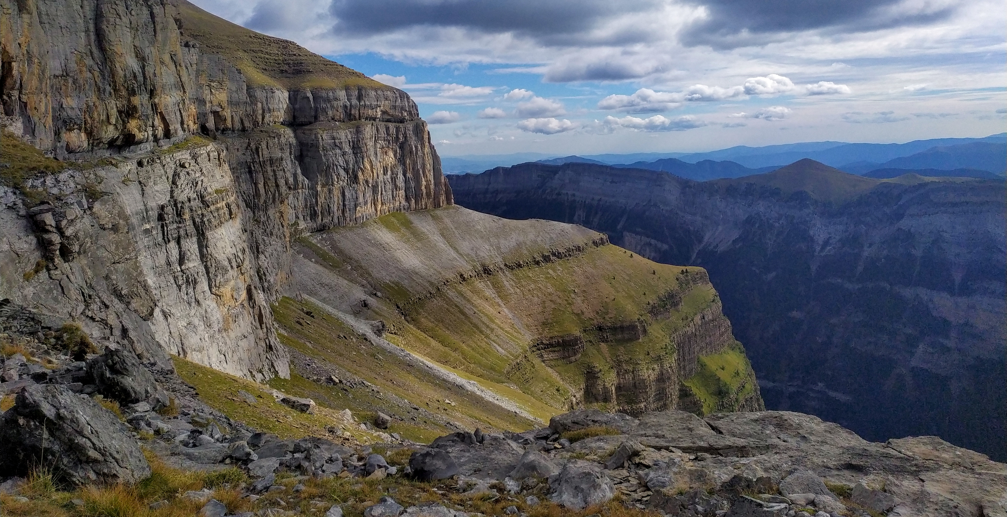
Hike from Gavarnie to Ordesa – A breathtaking loop in the cirques

Haute Route Pyrénéenne – Pyrenees Crossing
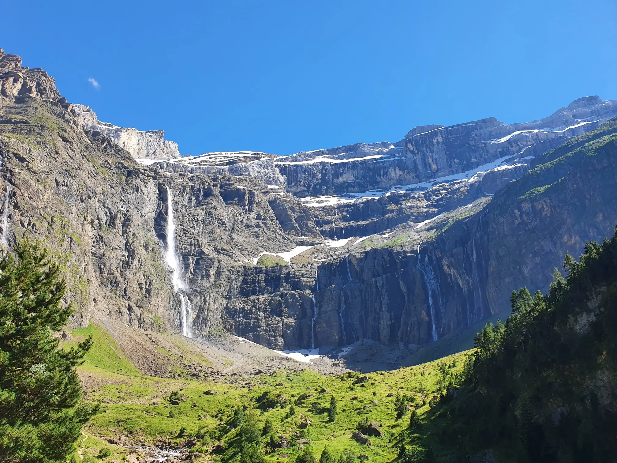
In the heart of the massif – the best hikes in the Central Pyrenees

Hiking to the summits – France's highest points
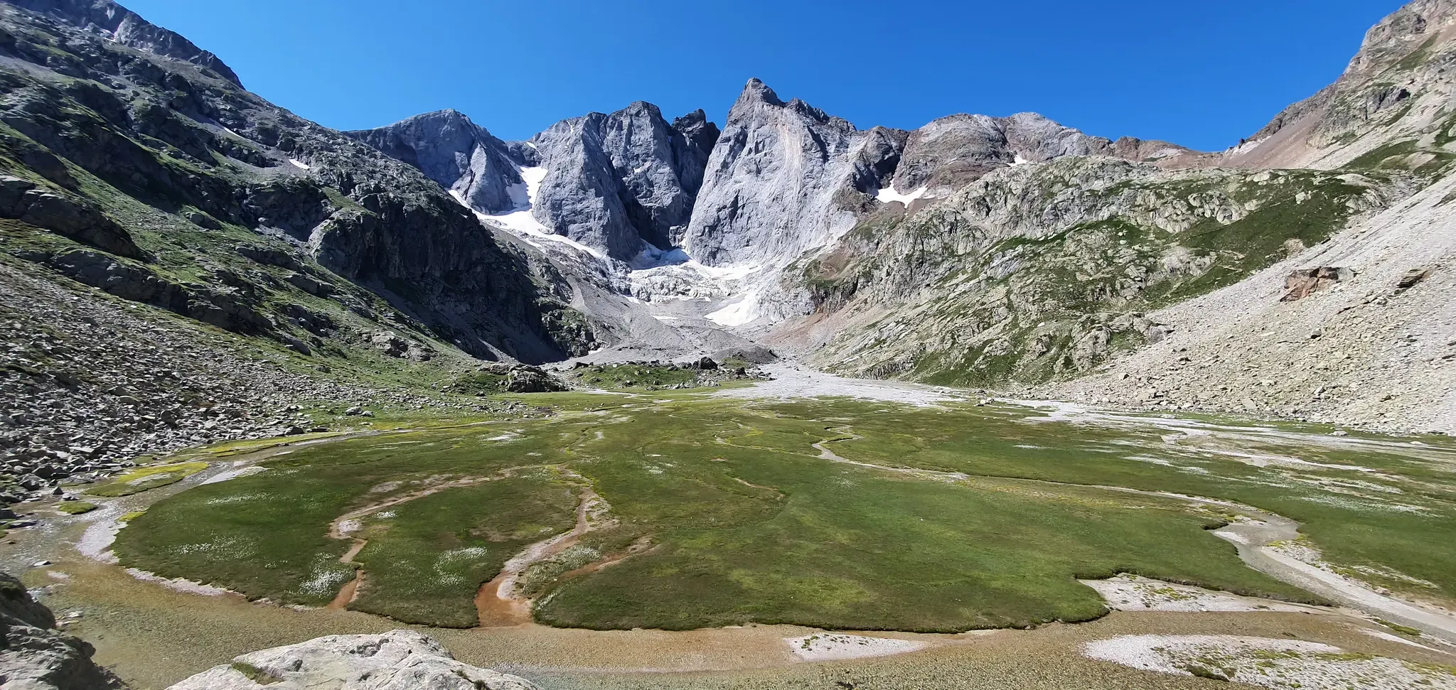
Through the heart of the Pryrenees – Tour of the Vignemale
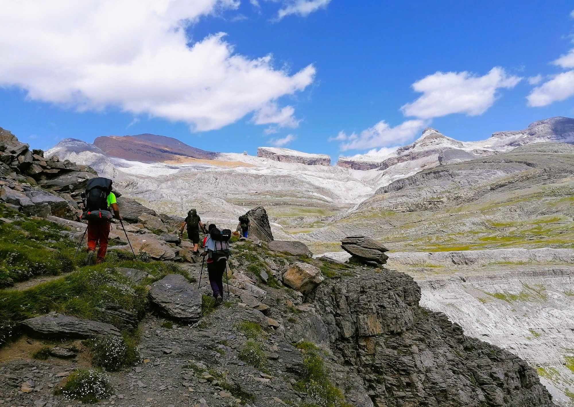
Wilderness — Ordesa y Monte Perdido National Park
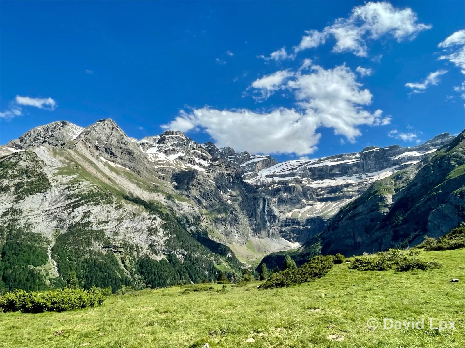
A real balancing act — adventuring in France’s Gavarnie cirques
Other adventures around Gavarnie-Gèdre


Tips from the Community

The GR10 continues towards the Baysselance refuge.
0
0
At the foot of the giant of the Pyrenees, the Vignemale
0
0
Admire the marmots if you observe carefully
0
0


Beautiful view from this elevated hut
0
0

Beautiful and scenic medieval bridge, the start of the paths that go up the Ara river valley
0
0

Beautiful bridge, also interesting is the medieval refrigerator next to it.
0
0

I went there in August, there was an outside tap for drinking water but after turning it on I only got about half a liter. I wasn't asked inside because it was already quite crowded.
2
0
Frequently Asked Questions
What kind of terrain can I expect on running trails in Gavarnie-Gèdre?
Gavarnie-Gèdre, nestled in the French Pyrenees, offers a diverse range of terrain for runners. You'll find everything from relatively flat, accessible paths around villages to challenging alpine routes with significant elevation changes. The landscape is characterized by monumental glacial cirques like the Cirque de Gavarnie, dramatic rock walls, deep valleys, and varied features including wild forests, high-altitude lakes, and mountain peaks exceeding 3,000 meters.
Are there easy running routes in Gavarnie-Gèdre?
While many routes in Gavarnie-Gèdre are challenging, there are options for easier runs. The region offers paths suitable for all fitness levels, including accessible routes that might be paved or have gentle gradients. For instance, the path from Gavarnie village to the foot of the Grande Cascade is relatively flat and pleasant, offering an awe-inspiring backdrop for a run.
How many running routes are available in Gavarnie-Gèdre?
Komoot features over 35 running routes in the Gavarnie-Gèdre region. These routes cater to various preferences, though the majority are classified as difficult, offering substantial challenges for experienced runners.
Are there running routes that pass by waterfalls or lakes?
Yes, the region is famous for its stunning water features. The iconic Grande Cascade, Europe's largest waterfall, is accessible via a relatively flat path from Gavarnie village. Many challenging routes also lead to beautiful mountain lakes. For example, the Trail of lake Marboré is a difficult 18.9 km route that takes you to a high-altitude lake.
What natural landmarks can I see while jogging in the region?
Gavarnie-Gèdre is rich in spectacular natural landmarks. You can run amidst the dramatic limestone walls of the Cirque de Gavarnie, a UNESCO World Heritage site, and witness the towering Grande Cascade. Other notable glacial amphitheaters like the Cirque de Troumouse and Cirque d'Estaubé offer equally stunning vistas. High mountain passes such as Tentes Pass and various mountain peaks also provide breathtaking views.
Are there circular running routes available in Gavarnie-Gèdre?
Yes, many of the running trails in Gavarnie-Gèdre are designed as loops, allowing you to start and finish at the same point. An example is the Aires Lakes Trail loop from Auberge du Maillet, an 11.5 km challenging run, or the Espuguettes Refuge – Small Bridge loop from Gavarnie, a 15.9 km trail through high mountain landscapes.
What do other runners say about the trails in Gavarnie-Gèdre?
The running trails in Gavarnie-Gèdre are highly regarded by the komoot community, with an average rating of 5.0 stars from numerous reviews. Runners frequently praise the spectacular mountain scenery, the challenging nature of the routes, and the sense of accomplishment gained from exploring this unique Pyrenean landscape.
Are there options for longer, more challenging runs in Gavarnie-Gèdre?
Absolutely. Gavarnie-Gèdre is an excellent destination for runners seeking significant challenges. Many routes feature substantial elevation gains and cover considerable distances. For instance, the Lac des Gloriettes – Hôtellerie du Cirque loop from Gèdre is a demanding 37.4 km route with nearly 2,000 meters of elevation gain, ideal for experienced trail runners.
Are dogs allowed on the running trails in Gavarnie-Gèdre?
Generally, dogs are permitted on many trails in the Pyrenees, but regulations can vary, especially within national park areas or protected zones. It's always best to check specific trail rules or local signage, and to keep dogs on a leash to protect wildlife and ensure the safety of other trail users.
What is the best time of year for running in Gavarnie-Gèdre?
The best time for running in Gavarnie-Gèdre is typically from late spring to early autumn (May to October). During these months, the weather is generally more stable, and high-altitude trails are more likely to be free of snow. Summer offers warmer temperatures, but spring and autumn provide cooler conditions and stunning seasonal colors, though some higher routes might still have snow early in the season.
Are there any less crowded running trails in Gavarnie-Gèdre?
While the Cirque de Gavarnie is very popular, neighboring areas like the Cirque de Troumouse and Cirque d'Estaubé offer equally stunning vistas and are often less crowded. Exploring routes in these areas can provide a more serene running experience amidst monumental natural beauty.
Can I find running routes that offer panoramic viewpoints?
Yes, many running routes in Gavarnie-Gèdre lead to incredible viewpoints, offering panoramic vistas of the Pyrenean landscape. The region's high mountain passes and peaks, such as Luz-Ardiden or Roland's Breach, provide spectacular opportunities to take in the vastness of the mountains, glacial cirques, and deep valleys.
Most popular routes around Gavarnie-Gèdre
Most popular attractions around Gavarnie-Gèdre

Get inspired with the komoot mobile app


Explore more
Browse the best Running Trails & Routes in other regions.
