The best running trails around Simmerath
4.4
(346)
4,713
runners
265
runs
Jogging around Simmerath offers diverse landscapes within the Eifel National Park. The region features a blend of lakes, extensive forests, and varied mountainous terrain. Runners can explore routes along the Rursee, through picturesque river valleys, and across elevated areas. This environment provides a range of running experiences, from gentle paths to more challenging trails with significant elevation changes.
Best jogging routes around Simmerath
- The most popular jogging route is Urft Dam – Rursee loop from Einruhr, a 26.9 miles…
Last updated: August 14, 2026
4.3
(9)
487
runners
41.6km
04:33
620m
620m
Hard run. Very good fitness required. Sure-footedness, sturdy shoes and alpine experience required.
4.7
(31)
206
runners
Moderate run. Good fitness required. Mostly paved surfaces. Suitable for all skill levels.

Sign up for free
4.7
(6)
253
runners
Moderate run. Good fitness required. Mostly paved surfaces. Suitable for all skill levels.
5.0
(1)
152
runners
27.9km
03:17
640m
640m
Hard run. Very good fitness required. Mostly accessible paths. Some sure footedness required.
4.7
(17)
148
runners
8.94km
00:59
160m
160m
Moderate run. Good fitness required. Mostly paved surfaces. Suitable for all skill levels.
Get access to more routes and recommendations from other explorers.
Sign up for free
Already have an account?
Our route recommendations are based on thousands of hikes, rides, and runs completed by other people on komoot.
Start today with a free account
Your next adventure awaits.
Login or Signup
Popular around Simmerath
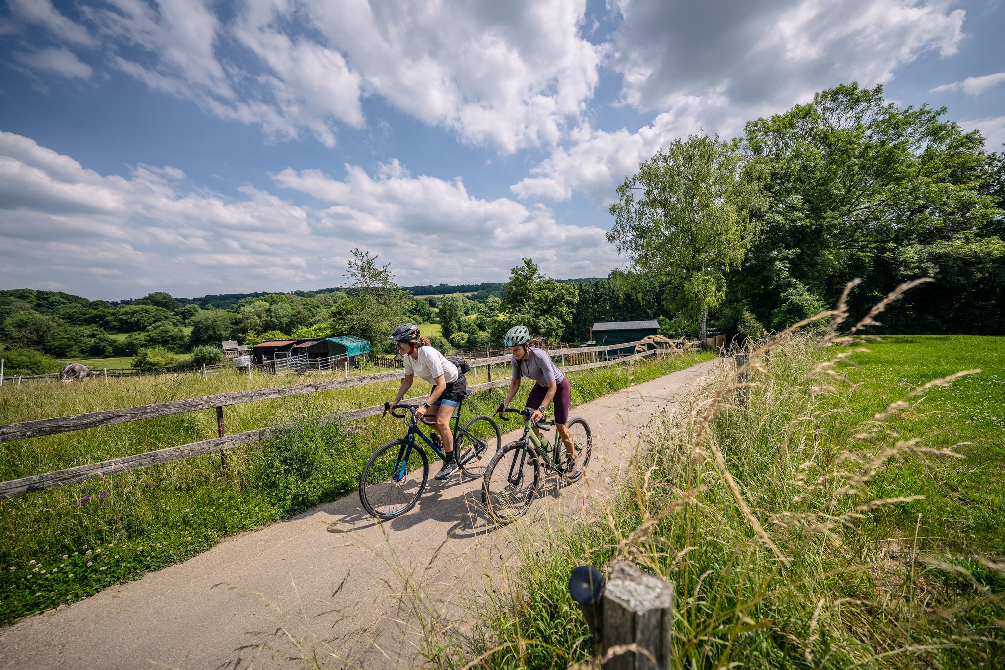
Gravel at its finest – rides around Aachen
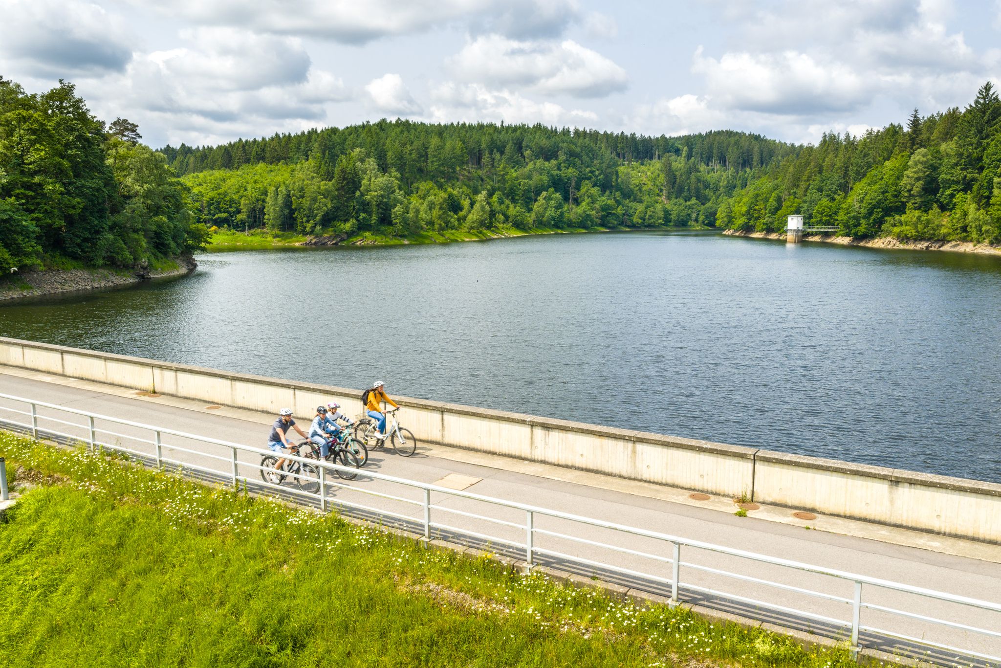
Aachen Time Loops – cycling from the past to the future
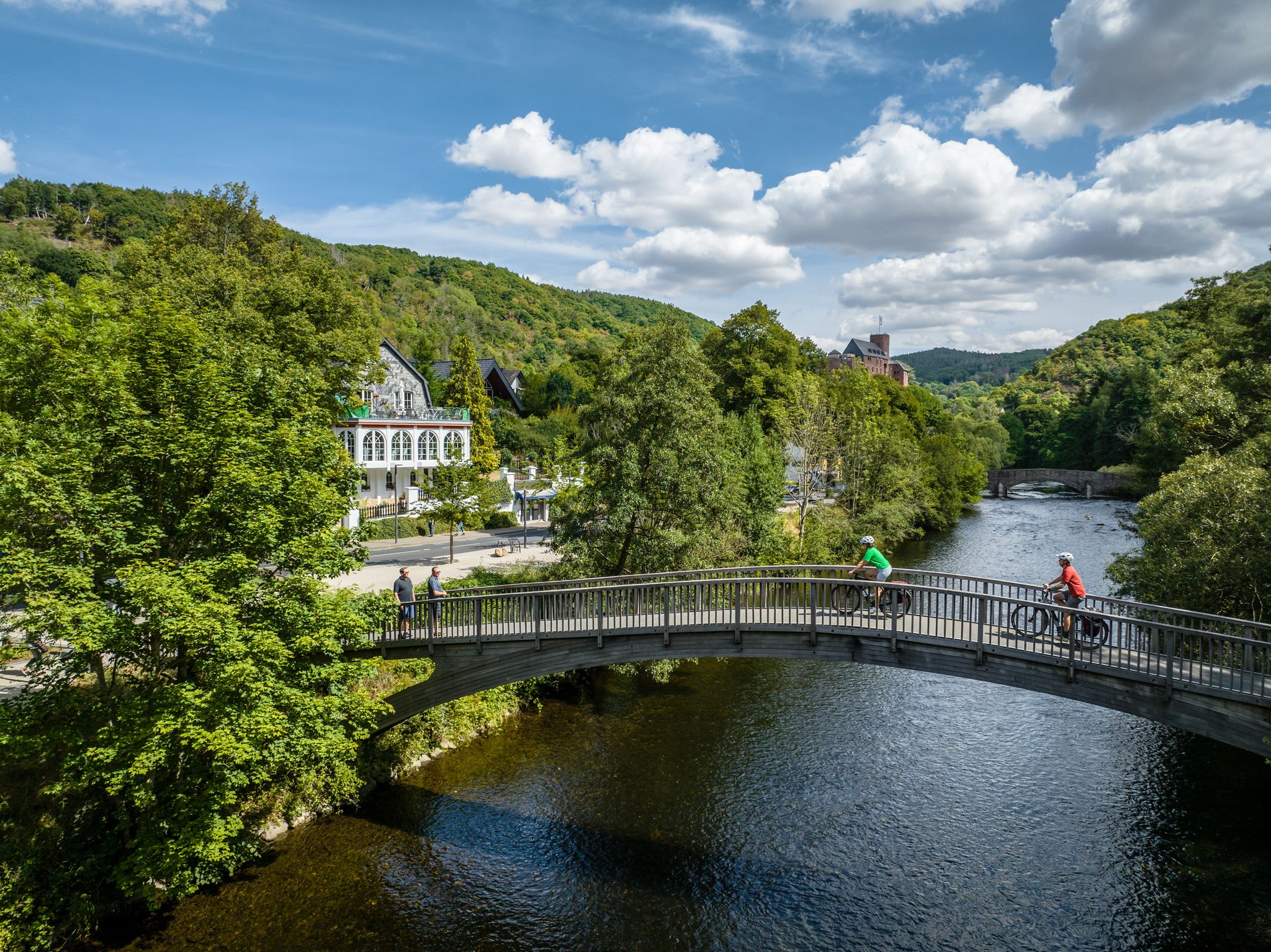
Heights, castles, moors – RURschleifen by bike
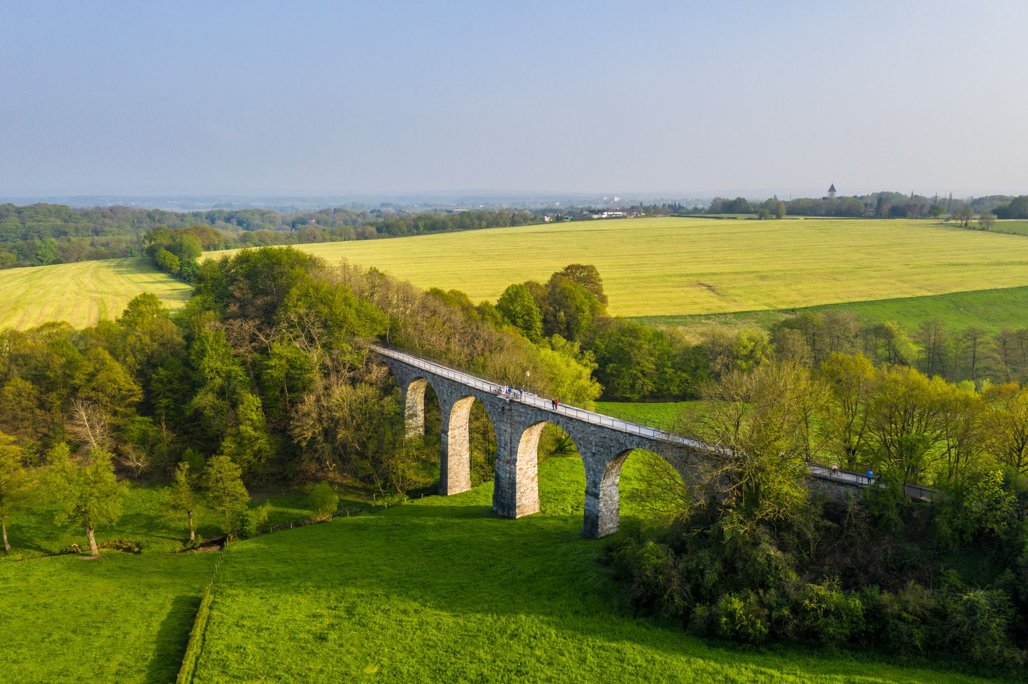
Cycling the tracks of the Vennbahn – the Vennbahnschleifen
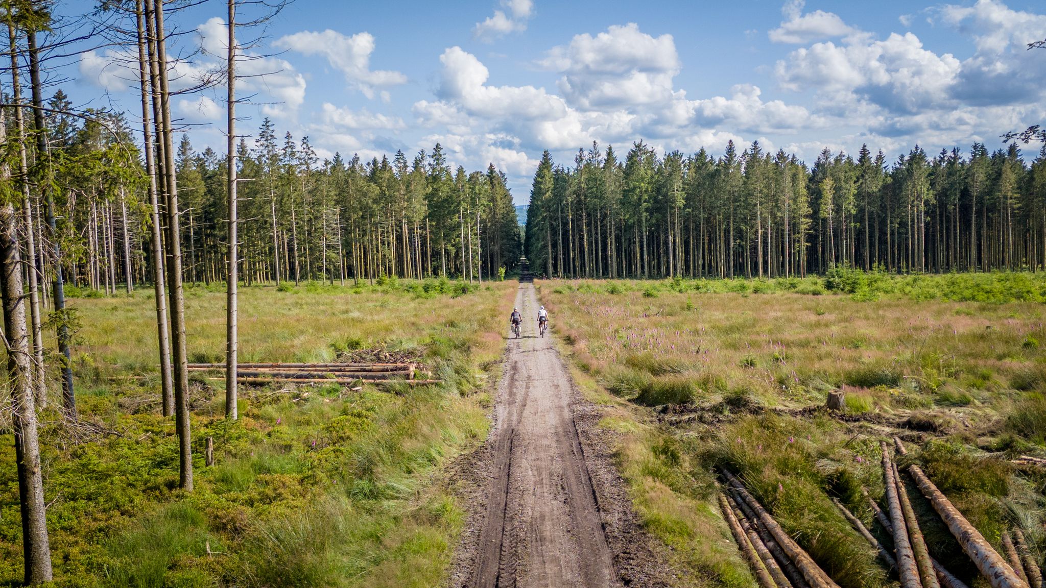
Vennbahn-Variant: A new gravel/MTB adventure
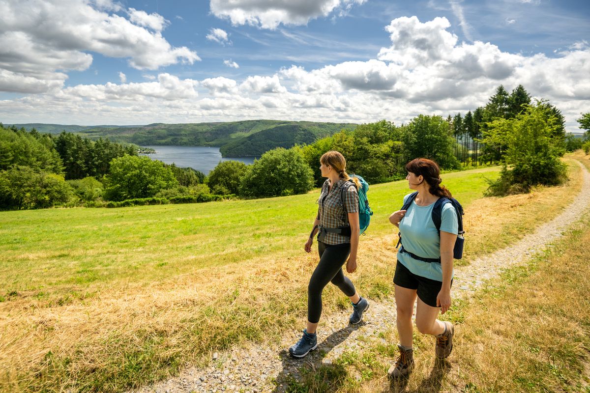
Shaped by rock and water – hikes in the Rureifel region
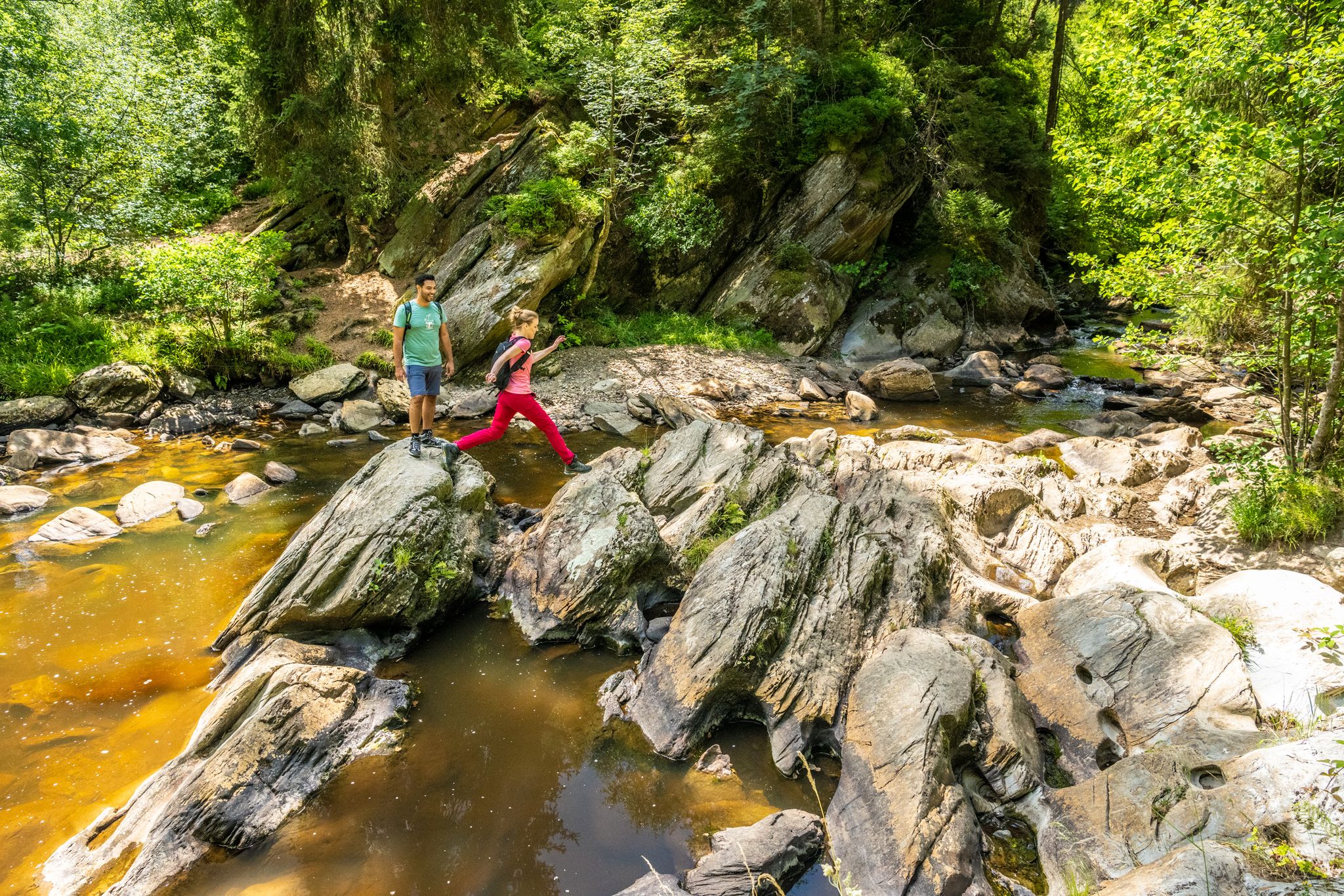
The Eifelsteig's 8 partner trails in Aachen region
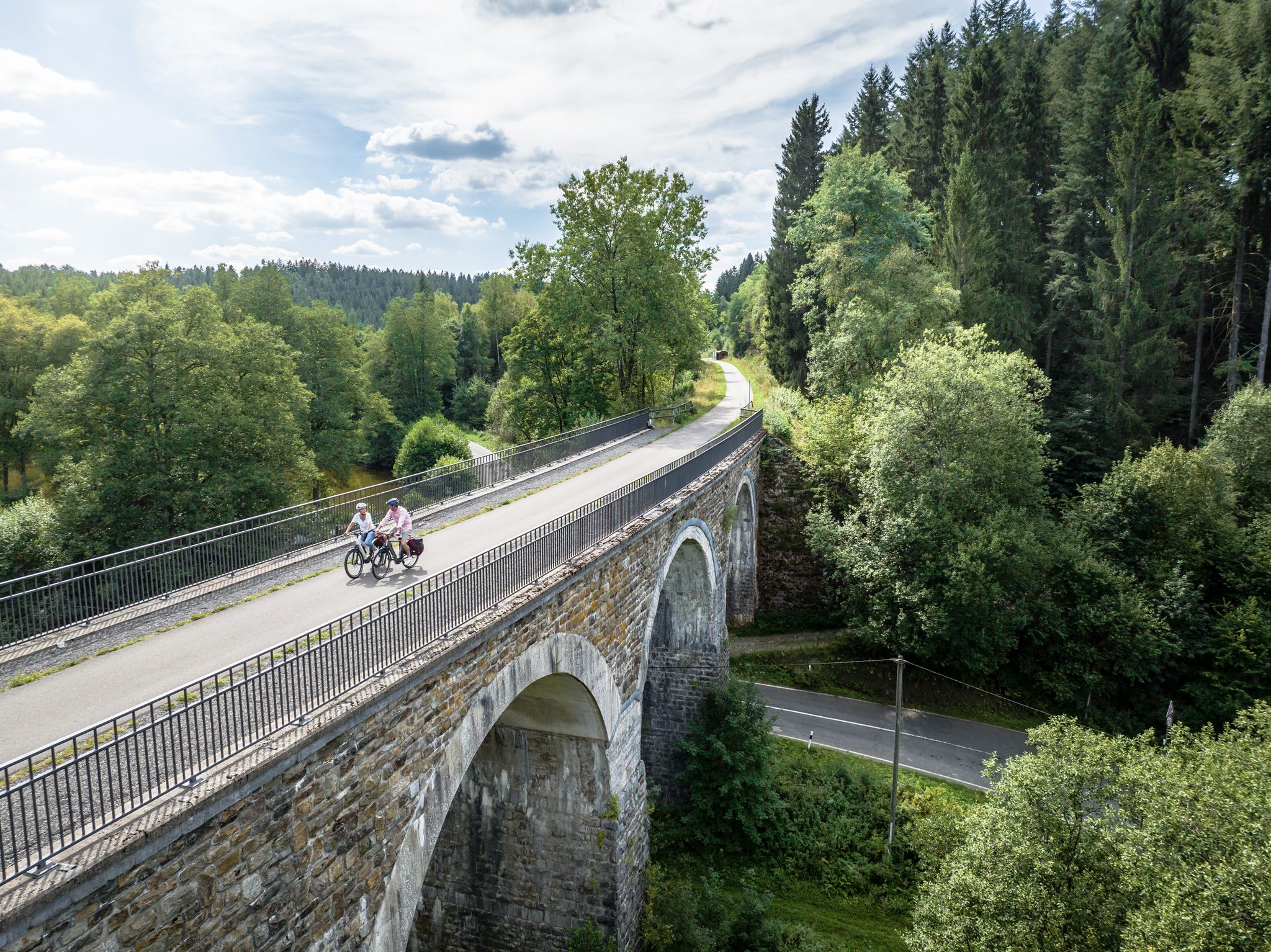
Fens, forests and water – cycling Tours in the Rur Eifel Region
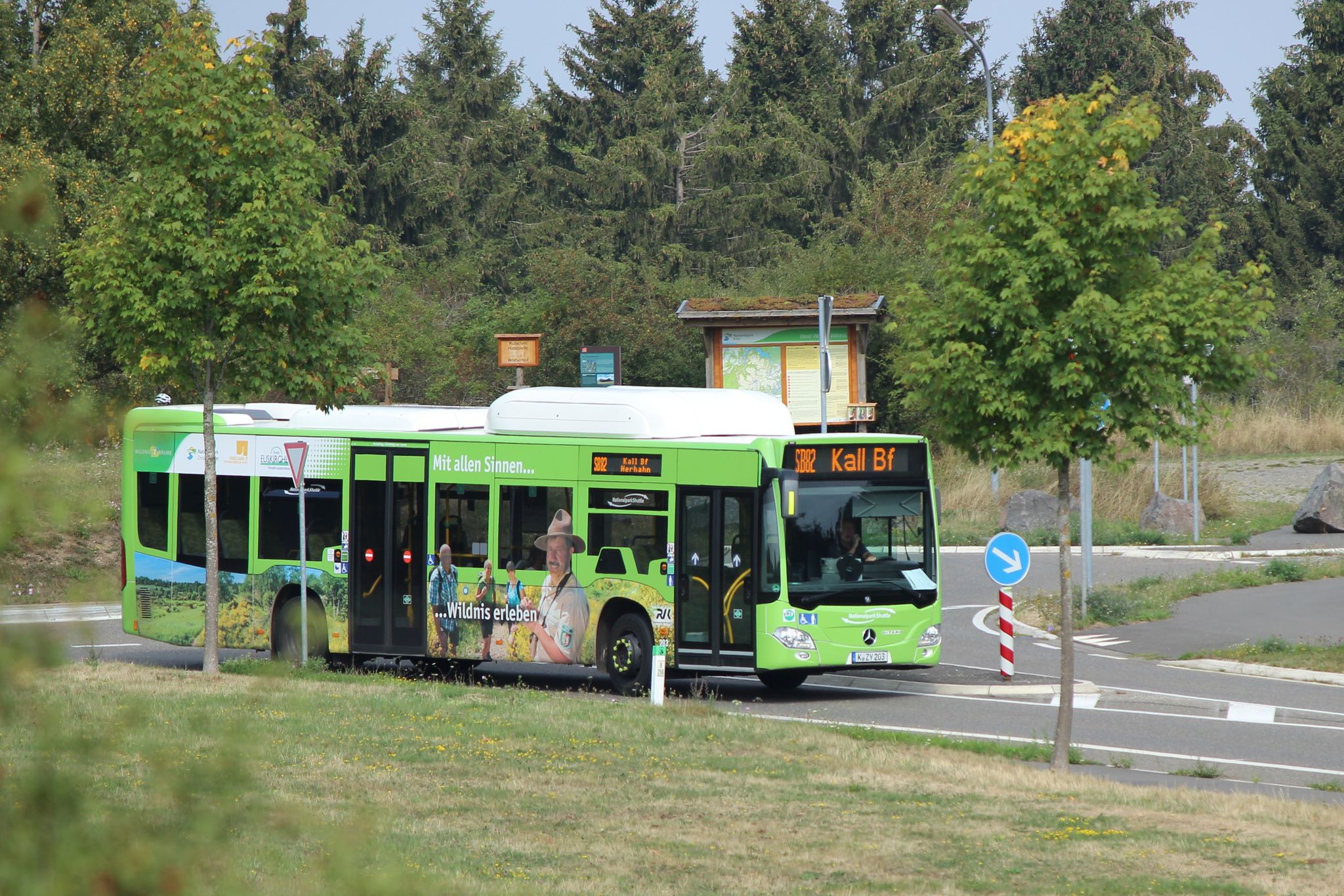
Next stop: Wilderness! – Germany’s Eifel National Park by public transport
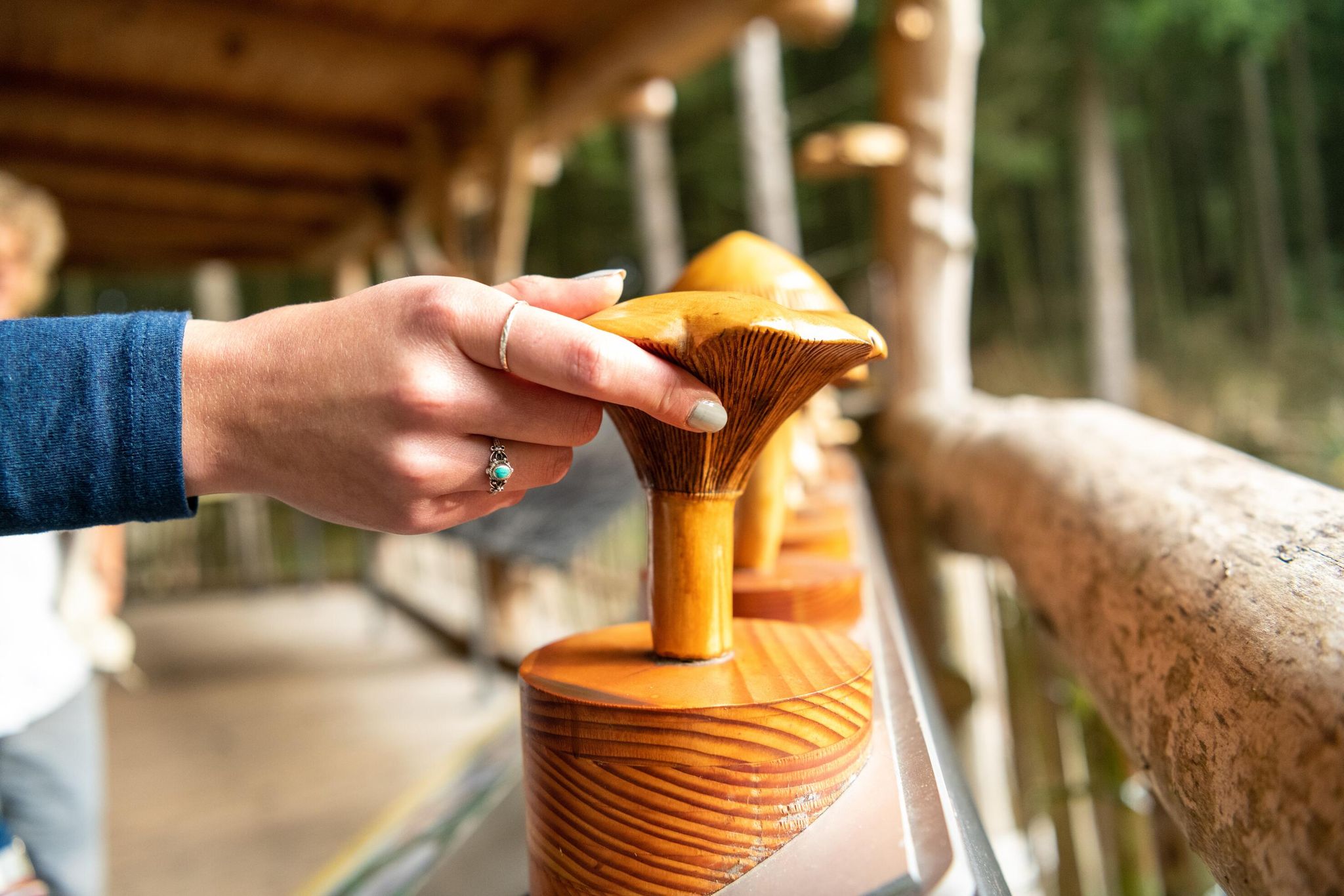
Accessible routes in Germany’s Eifel National Park
Other adventures around Simmerath


Tips from the Community

Simply great here.
0
0

Anti-tank obstacles hint at past times, which hopefully will never return.
1
0


Currently (05/2026) officially closed. Diversion is signposted.
0
0


You'll find the Kaiserfelsen (Emperor's Rock) right near the dam.
2
0

The Kall Valley (Kalltal in German) is the river valley of the Kall River, a tributary of the Rur River. It originates near Konzen (located near Monschau) and flows into the Rur River at Zerkall after approximately 26 kilometers. This valley forms a characteristic landscape in the Eifel region, with a variety of stream valleys, forests, flower-filled meadows, and traditional Eifel villages. Due to the geological development of the region, the river and its tributaries have created an incised valley shape in the Rheinisches Schiefergebirge (Rhenish Slate Mountains), consisting of ancient Lower Devonian rocks and other sedimentary layers, resulting in a diverse and geologically interesting terrain. Ecologically and biologically, the Kall Valley is valuable because it harbors a network of alluvial (river and flood) habitats that are essential for numerous plant and animal species. Originally, the valley consisted primarily of wet alluvial forests with native trees such as birch, alder, ash, and hornbeam, but due to past human exploitation and agriculture, these woodlands had largely disappeared. Recent conservation and restoration efforts focus on reintroducing riverine nature, including restoring river courses, removing artificial obstacles, and re-developing wet meadows and wet forests to allow original natural processes to resume. These restoration projects are creating a rich diversity of habitats along the banks of the Kall, ranging from marshy grasslands and wet meadows to alder swamp forests and flower-rich grasslands. This variety supports considerable biodiversity: plants such as broad-leaved orchids, marsh loosestrife, and other water-loving species thrive in the wetlands, while amphibians, butterflies, dragonflies, and songbirds breed and forage along the river's margins. In addition, beavers, kingfishers, and rare bat species can be observed in the more natural parts of the valley. The valley also offers recreational and educational opportunities for visitors to the Eifel, and several hiking and cycling routes run along the Kall, such as the Kalltalweg and the Kall Trail, which lead you through the valley, past alder galleries, open meadows, and through villages like Zerkall and Vossenack. Along these paths, you'll see views of old mills and traces of historical activities such as water management, allowing you to experience not only nature but also the cultural and historical background of the Eifel landscape.
0
0

Witnesses to history that everyone should see.
1
0
Frequently Asked Questions
How many running routes are available in Simmerath?
Simmerath offers a wide selection of running and jogging routes. There are over 240 routes available, catering to various fitness levels and preferences within the Eifel National Park.
What kind of terrain can I expect on the running trails around Simmerath?
The terrain in Simmerath is incredibly diverse, ranging from picturesque river landscapes along the Rur Valley to extensive forests and elevated areas with significant changes in elevation. You'll find paths along the shores of the Rursee and Urftsee, as well as more challenging trails through mountainous regions.
Are there running routes suitable for beginners or those looking for an easy jog?
Yes, Simmerath offers a variety of routes for all abilities. While there are demanding trails, you can find approximately 21 easy routes that are mostly paved and suitable for a relaxed run. For example, the Brückborn/Kranzbruch loop from Witzerath is a moderate option that provides a pleasant run through woodlands and open areas.
What do other runners enjoy most about jogging in Simmerath?
The running routes in Simmerath are highly rated by the komoot community, with an average score of 4.4 stars from over 240 reviews. Runners often praise the diverse landscapes, the stunning views of the Rursee and Urftsee, and the well-marked paths through the Eifel National Park.
Are there circular running routes in Simmerath?
Yes, many of the running routes in Simmerath are circular, allowing you to start and end at the same point. Popular options include the challenging Urft Dam – Rursee loop from Einruhr, or the moderate Belgenbach Trail – Belgenbach Mill loop from Eicherscheid.
Can I bring my dog on the jogging trails in Simmerath?
Generally, dogs are welcome on the trails within the Eifel National Park, but they must be kept on a leash to protect wildlife and ensure the safety of other visitors. Always check local signage for specific rules on individual paths.
Are there any family-friendly running routes in Simmerath?
For families, it's best to look for the 'easy' rated routes, which often feature less elevation gain and smoother paths. These routes provide a great way to enjoy the natural beauty of Simmerath together. Some areas around the Rursee also offer amenities like natural swimming pools for a refreshing cool-down after a run.
What landmarks or natural features can I see along the running routes?
Simmerath's running routes offer access to numerous natural and historical landmarks. You can enjoy views of the historic Urft Dam and the Urftsee, explore the Struffelt Heath and Moor Nature Reserve, or pass by the Hindenburg Gate. The Rursee itself is a central highlight, offering stunning lake scenery.
Is parking available near the running routes in Simmerath?
Yes, parking is generally available at common starting points for many routes, especially around popular areas like the Rursee and the National Park Gate Rurberg. It's advisable to check specific route descriptions for parking details.
Are there any long-distance running trails in the Simmerath area?
Yes, for those seeking a longer challenge, the region offers extensive routes. For instance, the Urft Dam – Rursee loop from Einruhr is a challenging 43.4 km (26.9 miles) trail. The Rursee area itself provides 27-kilometer routes that can be extended to 42 kilometers by including the Obersee and Urftsee.
Can I combine running with other activities in Simmerath?
Absolutely! Simmerath is ideal for combining running with other outdoor experiences. You can complement a run around the Rursee with a boat trip on the Rursee-Schifffahrt. The well-marked network of paths also makes the area perfect for long walking and cycling tours. Natural swimming pools in Rurberg and Einruhr offer a refreshing dip after your run.
What is the best time of year for jogging in Simmerath?
Simmerath offers beautiful running conditions throughout much of the year. Spring and autumn provide pleasant temperatures and vibrant scenery. Summer is also popular, especially around the lakes, though it can be warmer. Winter running is possible, but trails may be icy or snowy, so appropriate gear is recommended.
Most popular routes around Simmerath
Most popular attractions around Simmerath

Get inspired with the komoot mobile app


Explore more
Browse the best Running Trails & Routes in other regions.
