The best road cycling routes around Montréverd
4.3
(92)
3,875
riders
460
rides
Road cycling routes around Montréverd traverse the Vendée bocage, a landscape characterized by a mosaic of woodlands, hedgerows, and pastures. The region features a network of winding roads that offer varied terrain for cyclists. This verdant environment provides a scenic backdrop for exploration on two wheels. The area's gentle elevation changes make it suitable for a range of abilities.
Best road cycling routes around Montréverd
- The most popular road cycling route is Logis de la Chabotterie loop from Saint-André-Treize-Voies,…
Last updated: July 2, 2026
13
riders
40.8km
01:39
140m
140m
Easy road ride. Great for any fitness level. Mostly well-paved surfaces and easy to ride.
3.0
(1)
10
riders
Easy road ride. Great for any fitness level. Mostly well-paved surfaces and easy to ride.

Sign up for free
14
riders
120km
05:21
640m
640m
Hard road ride. Very good fitness required. Some segments of this route may be unpaved and difficult to ride.
3.0
(1)
9
riders
81.6km
03:25
450m
450m
Moderate road ride. Good fitness required. Mostly well-paved surfaces and easy to ride.
7
riders
Moderate road ride. Good fitness required. Mostly well-paved surfaces and easy to ride.
Get access to more routes and recommendations from other explorers.
Sign up for free
Already have an account?
Our route recommendations are based on thousands of hikes, rides, and runs completed by other people on komoot.
Start today with a free account
Your next adventure awaits.
Login or Signup



Tips from the Community

A truly unusual place, worth the detour.
0
0
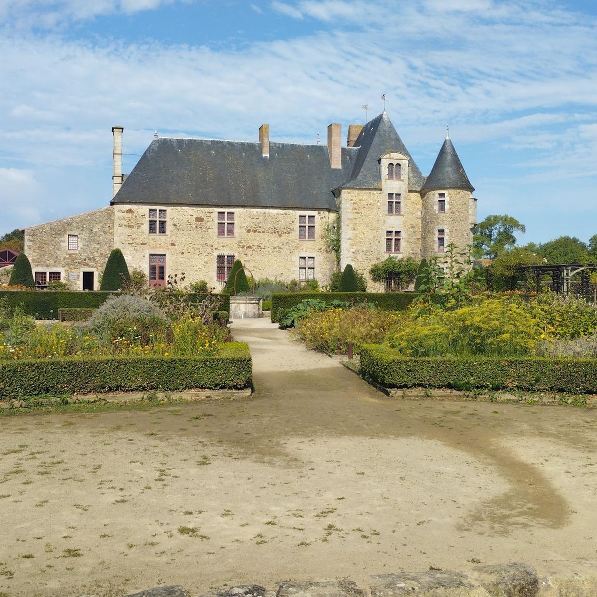
A 19th-century church built to replace the old church that burned down during the Second Vendée War. Across the road, the elegant Logis du Bourg Brangeau manor house.
0
0
Truly amazing. The kind of trail I dream of having in Loire-Atlantique.
0
0
It's a shame the tree is dead, but the chapel is still as amazing as ever.
0
0
A charming little church built in 1633 and renovated in 1901 by Father Hilairet. You'll find a water fountain in the parking lot in front of the cemetery.
1
0
Splendid windmill located near the Sanctuary of La Salette. Built in 1830.
1
0

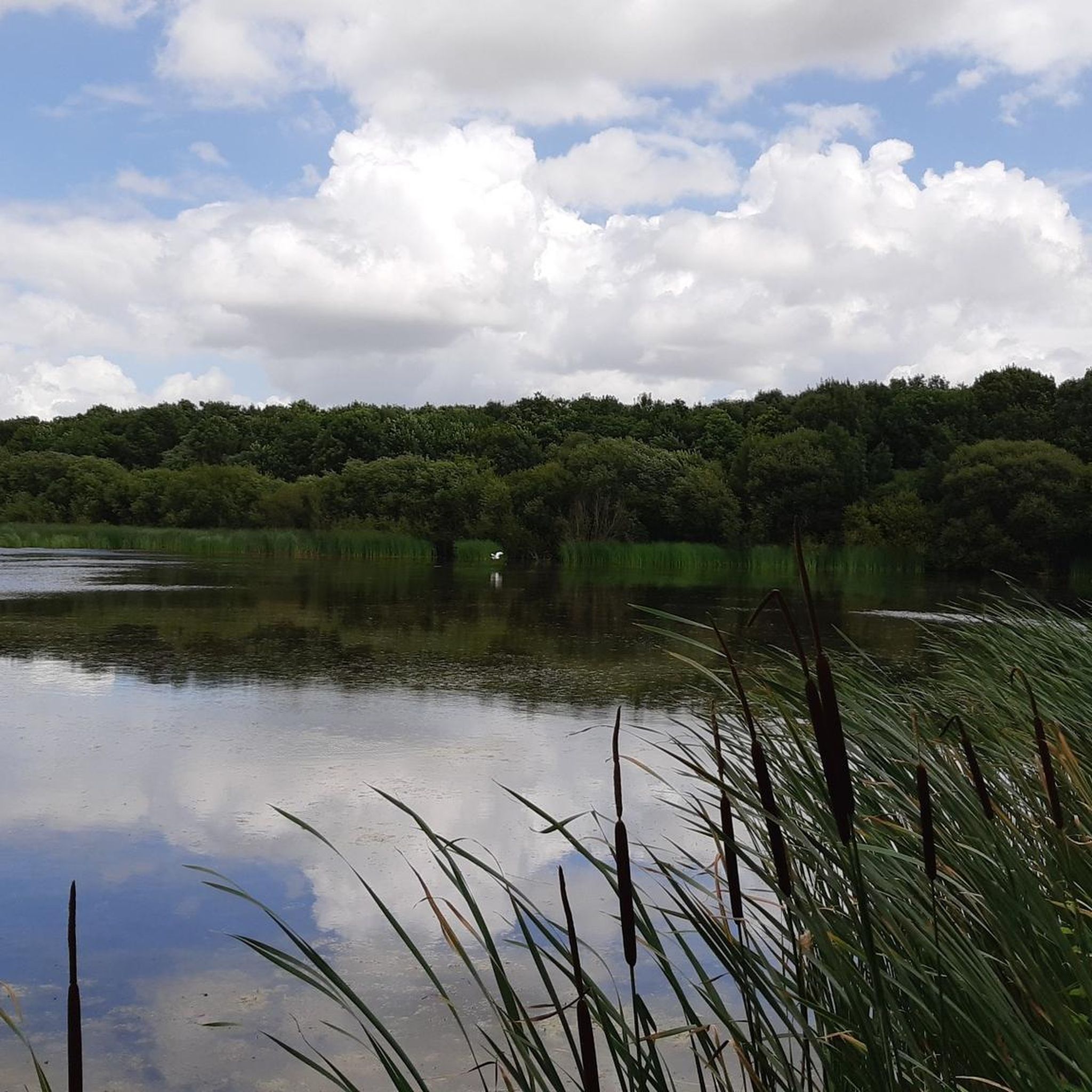
Bultière Lake is an artificial reservoir. The Bultière Dam was built in 1994. It is located in the commune of Chavagne en paillers. It supplies the drinking water network. Its surface area is 72 hectares and contains 5.2 million cubic meters of water. It is possible to walk around the lake via a 15-km trail. This lake, with its exceptionally rich fish population, awaits you with almost every type of fish (perch, pike, zander, catfish, carp, roach, bream, tench, etc.). You can go predator fishing from the shore or from a boat to catch zander, pike, and catfish. It is, of course, possible to still fish for roach, bleak, or bream. Carp are also present in this lake. A night carp fishing route located on the right bank in the Maurosière sector will delight those who love a good catch.
0
0

Very beautiful building
0
0
Frequently Asked Questions
How many road cycling routes are available around Montréverd?
There are over 15 road cycling routes around Montréverd, offering a variety of distances and difficulty levels. These routes traverse the picturesque Vendée bocage, characterized by its winding country roads and verdant landscapes.
What kind of terrain can I expect on road cycling routes in Montréverd?
The road cycling routes in Montréverd primarily feature the Vendée bocage landscape, which includes a mosaic of woodlands, hedgerows, and pastures. You'll find a network of winding country roads with gentle elevation changes, making it suitable for various abilities. The region is known for its 'beautiful little roads' in the countryside.
Are there easy road cycling routes suitable for beginners or families in Montréverd?
Yes, Montréverd offers several easy road cycling routes perfect for beginners or families. For instance, the Logis de la Chabotterie loop from Saint-André-Treize-Voies is an easy 25.3-mile (40.8 km) trail that explores a historic area. Another easy option is the Logis de la Chabotterie – Menhir of La Petite Roche loop from Saint-André-Treize-Voies, which is 29.9 miles (48.2 km) and combines historical sites with natural features.
Can I find more challenging road cycling routes in the Montréverd area?
While Montréverd is known for its gentle terrain, there are moderate routes for those seeking longer distances. The Grasla Refuge – Château de la Touche loop from Saint-Sulpice-le-Verdon is a moderate 60.9-mile (97.9 km) trail, often completed in about 4 hours 22 minutes, offering a more extended cycling experience through the Vendée bocage.
What historical sites or natural landmarks can I see while road cycling in Montréverd?
Many routes in Montréverd pass by interesting historical sites and natural features. You can explore the historic Château de la Touche, the ancient menhir of Little Rock in Saint-André-Treize-Voies, or the significant Logis de la Chabotterie, a former manor house with historical importance. Other nearby attractions include the Old Bridge of Rocheservière and Montaigu Castle.
Where can I park my car when starting a road cycling route in Montréverd?
Many road cycling routes in Montréverd start from villages like Saint-André-Treize-Voies or Saint-Sulpice-le-Verdon. These villages typically offer public parking areas, often near churches or town centers, which serve as convenient starting points for exploring the local cycling circuits.
What is the best time of year to go road cycling in Montréverd?
The Vendée region, including Montréverd, is generally pleasant for road cycling from spring through autumn. The lush green landscape of the bocage is particularly beautiful during these seasons. Summer offers longer daylight hours, while spring and autumn provide milder temperatures, ideal for longer rides.
Are the road cycling routes in Montréverd typically loop trails or point-to-point?
Most of the road cycling routes around Montréverd are designed as loop trails. This allows cyclists to start and finish at the same location, which is convenient for those traveling by car. Examples include the Logis de la Chabotterie – Soubise Park loop from Saint-Sulpice-le-Verdon and the Lac de la Bultière – Logis de la Chabotterie loop from Saint-Sulpice-le-Verdon.
What do other cyclists say about road cycling in Montréverd?
The road cycling routes in Montréverd are highly rated by the komoot community, with an average score of 4.2 stars from over 70 reviews. Cyclists often praise the quiet, winding country roads, the scenic bocage landscape, and the variety of routes suitable for different ability levels. Over 3000 road cyclists have used komoot to explore the area.
Are there options for longer road cycling tours in Montréverd?
Yes, for those looking for longer rides, Montréverd offers several routes that extend into the wider Vendée bocage. The Grasla Refuge – Château de la Touche loop from Saint-Sulpice-le-Verdon, at nearly 98 km, is a good example of a longer, moderate tour. The region's extensive network of paths, spanning approximately 1,850 kilometers, allows for extended exploration.
Can I find places to stop for refreshments or food along the routes?
The villages that serve as starting points or are passed through by the cycling routes, such as Saint-André-Treize-Voies and Saint-Sulpice-le-Verdon, often have local amenities like small cafes or bakeries. Planning your route to include stops in these villages is a good way to find refreshments.
What is the typical elevation gain on road cycling routes in Montréverd?
The road cycling routes in Montréverd are characterized by gentle elevation changes, reflecting the rolling landscape of the Vendée bocage. For example, an easy 40 km route might have around 140-180 meters of elevation gain, while longer, moderate routes like the 98 km Grasla Refuge – Château de la Touche loop can accumulate over 600 meters of elevation, offering a good workout without extreme climbs.
Most popular routes around Montréverd
Most popular attractions around Montréverd

Get inspired with the komoot mobile app


Explore more
Browse the best Road cycling routes in other regions.
