The best running trails around Chémery-Chéhéry
4.2
(47)
2,445
runners
259
runs
Jogging routes around Chémery-Chéhéry traverse a landscape characterized by dense forests, tranquil waterways, and varied elevation. The region features the expansive Ardennes Forest and the Bairon Reservoir, offering diverse natural settings for physical activity. Elevations range from approximately 152 to 312 meters, providing a mix of flatter paths and gentle ascents. This area provides a peaceful environment for running, with trails often winding through green spaces and past historical sites.
Best jogging routes around Chémery-Chéhéry
- The most popular jogging route…
Last updated: June 25, 2026
14
runners
8.31km
00:51
20m
20m
Moderate run. Good fitness required. Mostly paved surfaces. Suitable for all skill levels.
13
runners
20.9km
02:11
100m
110m
Hard run. Very good fitness required. Mostly paved surfaces. Suitable for all skill levels.

Sign up for free
9
runners
8.78km
00:55
90m
90m
Moderate run. Good fitness required. Mostly paved surfaces. Suitable for all skill levels.
9
runners
10.7km
01:07
100m
100m
Moderate run. Good fitness required. Mostly paved surfaces. Suitable for all skill levels.
6
runners
7.60km
00:48
70m
80m
Moderate run. Good fitness required. Mostly paved surfaces. Suitable for all skill levels.
Get access to more routes and recommendations from other explorers.
Sign up for free
Already have an account?
Our route recommendations are based on thousands of hikes, rides, and runs completed by other people on komoot.
Start today with a free account
Your next adventure awaits.
Login or Signup

Tips from the Community

Here begins the Canal des Ardennes, which connects the Meuse with the Aisne and the waterways of the Seine basin; the 106 km long canal was built during the time of King Louis Philippe (second quarter of the 19th century) and has 46 locks between Pont-à-Bar and Berry-au-Bac in the southwest.
2
0
The Canal des Ardennes, also known as the Ardennes Canal, is a canal in northeastern France that connects the Meuse basin with that of the Seine. The canal is approximately 88 kilometers long. It runs entirely through the Ardennes department, between the Meuse at Pont-à-Bar and the Aisne at Vieux-lès-Asfeld. The Canal des Ardennes was built between 1823 and 1831 to create a shorter shipping route between Belgium and the Paris region. The canal has a total of 44 locks. There is a tunnel at Saint-Aignan, known as the Tunnel of Saint-Aignan. The canal has a branch to Vouziers at Semuy. The canal was built to bridge the height differences in this hilly area as easily as possible and was therefore constructed along existing rivers as much as possible. It reaches a height of 165 meters above sea level and then descends to a height of 60.55 meters at the terminus. It is an important part of the water infrastructure in this region.
3
0

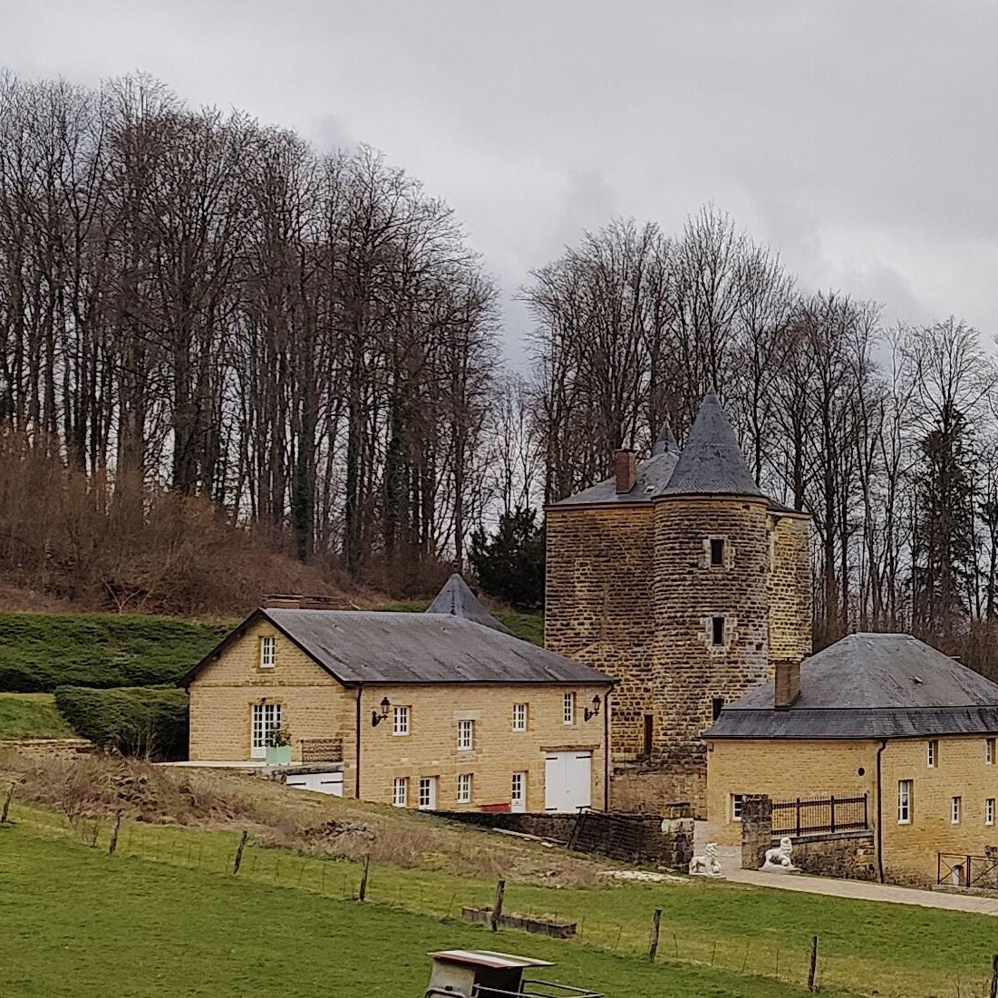
Located in the country of pre-Ardennes ridges, Vendresse hosts one of the most essential tourist sites in the department. “Le Domaine de Vendresse” combines nature, culture and heritage with a dedicated space for children. Don't also miss the 12th century Romanesque church, built in white limestone from the Chémery quarries.
1
0

Hamlet in the commune of Dom-le-Mesnil, Pont-à-Bar includes a lock which is located on the Ardennes canal. This small town marks the start of the South-Ardennes greenway which runs along the canal for nearly 110 kilometers.
2
0
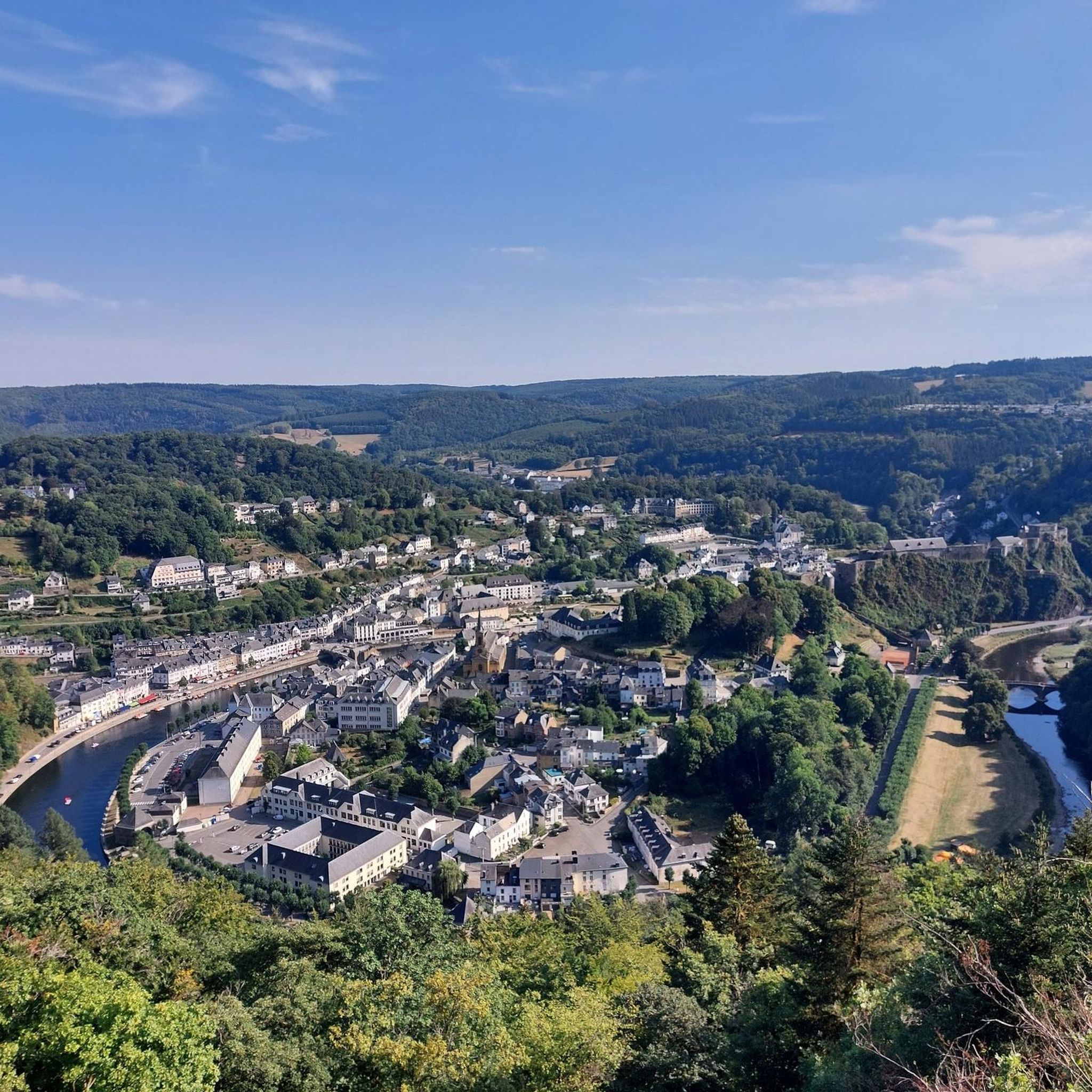
This small town in the Ardennes is located at the confluence of the Chiers and the Meuse. The Eastern Canal also passes not far from its center where the Château de Remilly-Aillicourt is located, a private mansion built by a Sedan manufacturer in the 18th century.
3
0
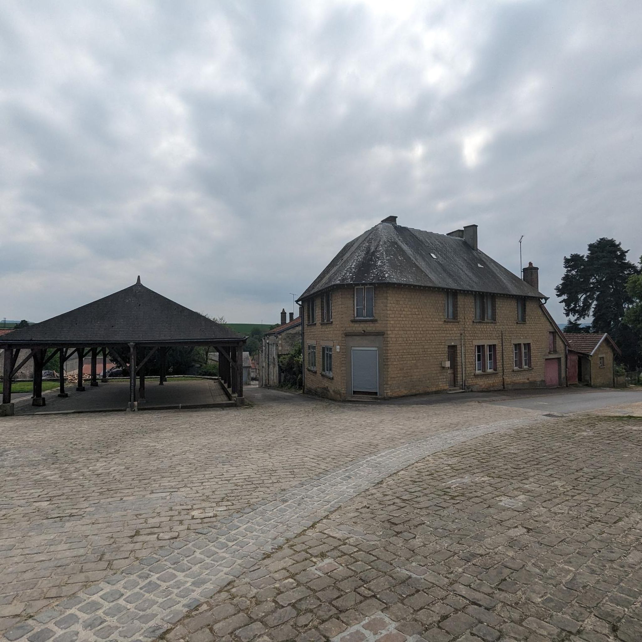
This magnificent building is located in the center of Raucourt-et-Flaba. While its parish would have been founded in the year 400. The Saint-Nicaise church dates from 1061. The work has retained its appearance of the time, despite restorations in the 18th and 19th centuries. Inside, there are three altars and a remarkable baptismal font made up of a carved Givet stone tank.
3
0

Canal which connects the Aisne and Meuse valleys.
2
0

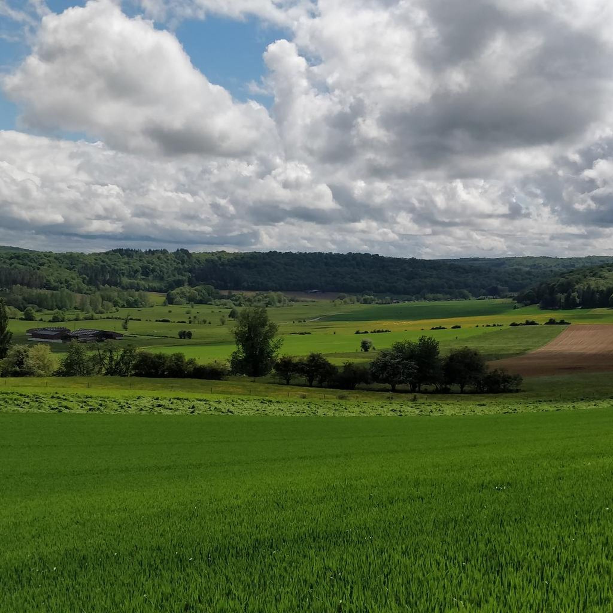
Agricultural commune in the Ardennes located on the banks of the Bar.
0
0
Frequently Asked Questions
What types of running routes can I find in Chémery-Chéhéry?
The Chémery-Chéhéry area offers a diverse network of running paths, traversing dense forests, tranquil waterways like the Bairon Reservoir, and varied terrain. You'll find options ranging from easy, relatively flat paths to more challenging routes with moderate elevation changes, suitable for different fitness levels.
How many running trails are available in Chémery-Chéhéry, and what are their difficulty levels?
There are over 240 running routes around Chémery-Chéhéry. This includes more than 16 easy trails, over 170 moderate routes, and about 57 more difficult options, ensuring there's a suitable path for every runner.
Are there any family-friendly running routes in the region?
Yes, the area offers several easy and moderate routes that are suitable for families. These trails often wind through green spaces and offer a peaceful environment. For example, the paths around the Bairon Reservoir provide a scenic and generally accessible option for a family run.
Can I bring my dog on the running trails in Chémery-Chéhéry?
Many of the natural trails and forest paths in the Ardennes region are dog-friendly, making it a great place to run with your canine companion. However, it's always recommended to keep dogs on a leash, especially in nature reserves or areas with wildlife, and to check local regulations for specific routes.
What natural features or landmarks can I expect to see along the running routes?
The running routes often lead through the expansive Ardennes Forest and past the tranquil Bairon Reservoir. You might also encounter historical sites such as the ruins of the Chartreuse du Mont-Dieu deep within the forest, or enjoy views towards the formidable Château de Sedan on longer outings.
Are there any circular running routes available?
Yes, many of the running routes in the Chémery-Chéhéry area are designed as loops, offering convenient circular experiences. An example is the Ardennes Canal – Pont-à-Bar loop from Hannogne-Saint-Martin, which provides a scenic circular path.
What do other runners enjoy most about running in Chémery-Chéhéry?
The running trails in Chémery-Chéhéry are highly rated by the komoot community, with an average score of 4.2 stars from over 60 reviews. Runners often praise the peaceful environment, the varied terrain, and the beautiful natural scenery, particularly the dense forests and tranquil waterways.
Are there any running routes that offer historical points of interest?
Absolutely. The region is rich in history. For instance, the German military cemetery loop from Noyers-Pont-Maugis offers a route that combines physical activity with a historical site. The Chartreuse du Mont-Dieu is another significant historical landmark accessible via forest trails.
What is the typical elevation change on running trails in this area?
The elevation around Chémery-Chéhéry ranges from approximately 152 to 312 meters. This means you'll find a mix of flatter paths, especially near waterways, and gentle ascents and descents through the forested areas, providing a dynamic running experience.
Is there a specific running route that offers a good challenge?
For those seeking a moderate challenge, the Running loop from Villers-sur-Bar is a popular choice. This 5.5-mile (8.8 km) path features varied elevation gains, providing a dynamic and engaging running experience.
Are there any longer running routes for endurance training?
Yes, for longer runs, consider routes like the Running loop from Cheveuges. This trail covers 6.7 miles (10.7 km) through the local countryside, offering a sustained effort for endurance training.
Most popular routes around Chémery-Chéhéry
Most popular attractions around Chémery-Chéhéry

Get inspired with the komoot mobile app


Explore more
Browse the best Running Trails & Routes in other regions.
