The best running trails around Binic-Étables-Sur-Mer
4.0
(113)
1,955
runners
60
runs
Jogging around Binic-Étables-Sur-Mer offers a diverse landscape that blends maritime and rural environments. The region features extensive coastal paths, including sections of the GR34, which provide views of the Saint-Brieuc Bay. Inland, runners can explore valleys, woodlands, and charming neighborhoods. This varied terrain includes fine sandy beaches, headlands, and rock formations, alongside more sheltered routes through forests and along rivers.
Best jogging routes around Binic-Étables-Sur-Mer
- The most popular jogging route is Binic - Customs Officers' Path – Bridge Dam loop from Binic-Étables-sur-Mer, an 8.4 miles (13.5 km) trail that takes 1 hour 38 minutes to complete. This moderate route follows the historic Customs Officers' Path, offering coastal views.
- Another top favourite among local runners is Binic - Customs Officers' Path – Bridge Dam loop from Binic, a moderate 6.0 miles (9.6 km) path. This route also features sections of the coastal trail with panoramic views of the sea.
- Local runners also love the Port of Binic – Parfond du Gouët Viaduct loop from Binic-Étables-sur-Mer, an 11.8 miles (19.0 km) trail leading through the port area and past the impressive Parfond du Gouët Viaduct, often completed in about 2 hours 16 minutes.
- Jogging around Binic-Étables-Sur-Mer is defined by coastal paths, headlands, and river valleys. The network offers options for different ability levels, from easy beachside runs to more challenging routes with moderate elevation gains.
- The routes in Binic-Étables-Sur-Mer are highly rated by the komoot community with an average score of 3.8 stars from over 80 reviews. More than 1600 runners have used komoot to explore Binic-Étables-Sur-Mer's varied terrain.
Last updated: August 28, 2026
3.2
(5)
268
runners
15.7km
01:56
370m
370m
Hard run. Very good fitness required. Mostly paved surfaces. Suitable for all skill levels.
5.0
(2)
237
runners
Hard run. Very good fitness required. Mostly paved surfaces. Suitable for all skill levels.

Sign up for free
2.3
(7)
129
runners
8.38km
01:00
170m
170m
Moderate run. Good fitness required. Mostly paved surfaces. Suitable for all skill levels.
167
runners
19.0km
02:16
320m
320m
Hard run. Very good fitness required. Mostly paved surfaces. Suitable for all skill levels.
5.0
(1)
105
runners
8.93km
01:02
140m
140m
Moderate run. Good fitness required. Mostly paved surfaces. Suitable for all skill levels.
Get access to more routes and recommendations from other explorers.
Sign up for free
Already have an account?
Our route recommendations are based on thousands of hikes, rides, and runs completed by other people on komoot.
Start today with a free account
Your next adventure awaits.
Login or Signup
Tips from the Community

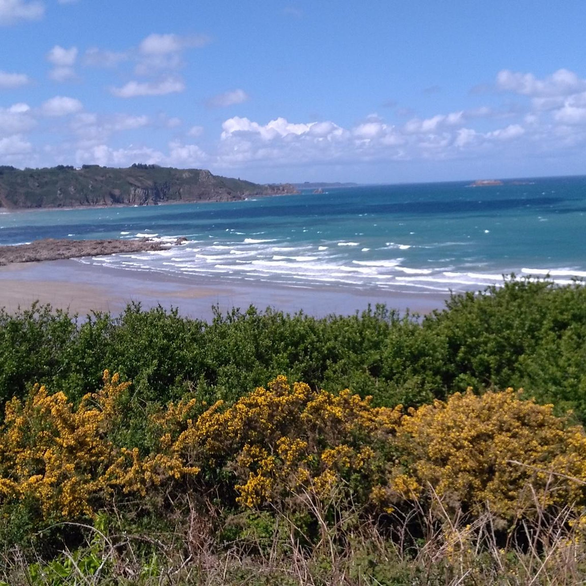
This sandy and pebbly beach, sheltered by granite cliffs, is accessible via a short path leading from the parking area. At low tide, you'll see a pebble breakwater whose rounded, regular shape is not a result of chance or nature. It's a submerged breakwater, built to shelter the former Pordic fishing fleet. For an outdoor lunch break, picnic tables with panoramic views of Binic harbor overlook the beach.
0
0
From the top of the cliff, the view is spectacular: you overlook the beaches of Tournemine and Les Rosaires. A breathtaking view of the fine sandy beach stretching for over 2 km, the promenade, and the grand seaside villas known as "Les Rosariennes".
0
0

A path rather than a road that comes across a somewhat unexpected passage with a beautiful view from above.
0
0

The Greenway - and the Percée Viaduct - a fascinating story, which can be read on the information panels and is very interesting to me. Here's a translation of Vaduz: Like elegant young ladies striding over the valleys of the Lilliputian kingdom, at the beginning of the 20th century, nine viaducts, including the Parfond de Gouët Viaduct, with their beautiful brick arches, stretched along the very first railway line of the local network, St. Brieuc - Plouha. These engineering structures, built by a native of the region, Louis Harel de La Noë (1852-1931), a bridge and road engineer, allowed the small train of the Côtes-du-Nord to follow the winding and steep coastline without much effort. Lightness and elegance are the words that come to mind when describing the architecture of this 1903 building, characterized by numerous columns and arched vaults and its masonry in warm brick colors. The techniques used demonstrate boldness, ingenuity, and originality: reinforced concrete anchors (rebars) were installed to increase the compressive strength of the pillars and prevent cracks.
1
1

The photo is not extraordinary, but the place is worth the detour. Lots of small paths or singles for lots of fun.
0
0


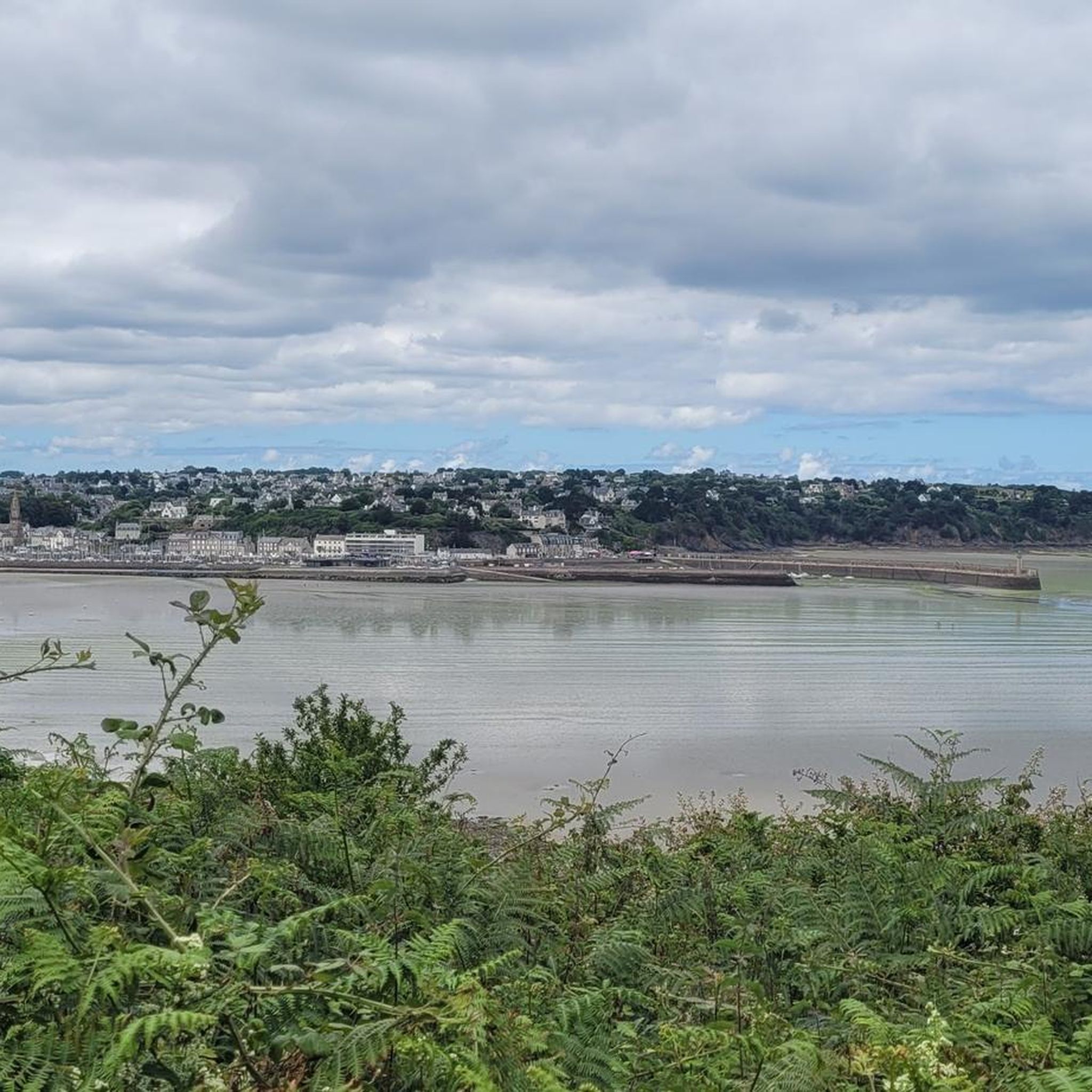
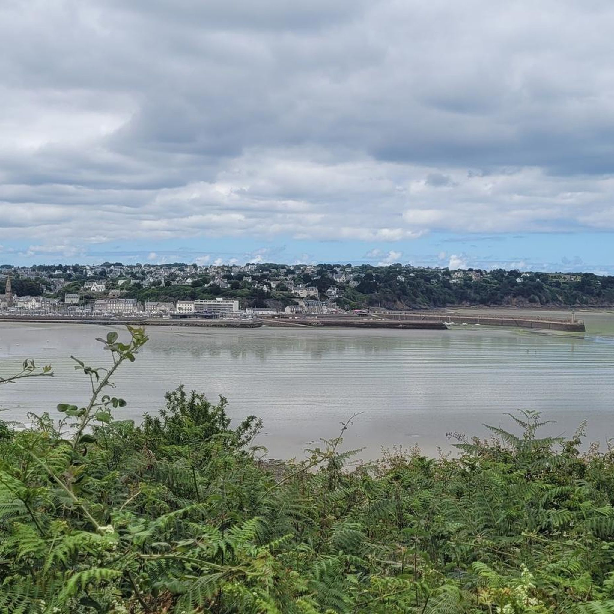
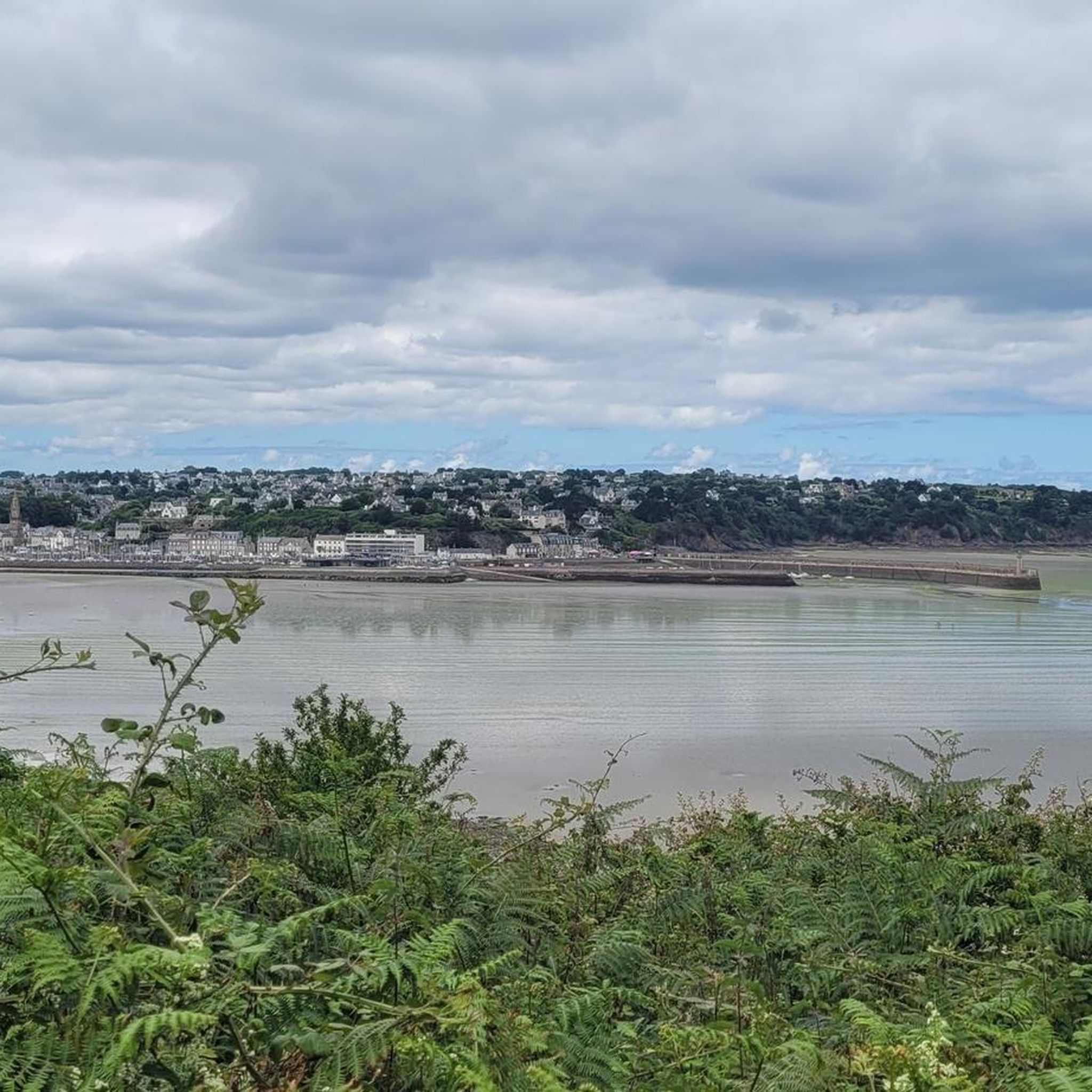
Binic is a charming seaside resort whose port once housed armed schooners for cod fishing. Today it is frequented by pleasure and commercial boats. From the belvedere set up on the old lighthouse pier, the views of the beach topped with raised cabins are delightful.
0
0

The Parfond de Gouet viaduct is of course the highlight of this attractive segment.
1
0
Frequently Asked Questions
How many running routes are available in Binic-Étables-sur-Mer?
Binic-Étables-sur-Mer offers a wide selection of running routes, with over 60 trails available for exploration. These routes cater to various preferences, ranging from easy coastal paths to more challenging inland trails.
What makes running in Binic-Étables-sur-Mer unique?
The region's unique appeal for runners lies in its diverse landscape, seamlessly blending maritime and rural environments. You'll find extensive coastal paths, including sections of the historic GR34, offering breathtaking views of the Saint-Brieuc Bay. Inland, routes traverse charming valleys like the Ic and Ponto, woodlands, and picturesque villages, providing a refreshing mix of scenery.
Are there easy running routes suitable for beginners?
Yes, Binic-Étables-sur-Mer has several easy running routes perfect for beginners or those looking for a relaxed pace. These often include flat sections along beaches or gentle paths through valleys. For example, the area features easily accessible paths suitable for all skill levels, from gentle walks to more challenging hikes with moderate elevation gains.
Can I find challenging long-distance running trails in the area?
Absolutely. For runners seeking a challenge, Binic-Étables-sur-Mer offers several difficult routes. One such option is the Randol'ic loop from Binic, which spans nearly 27.4 km and involves significant elevation changes, providing a demanding yet rewarding experience.
Are there circular running routes around Binic-Étables-sur-Mer?
Yes, many of the running routes in the area are circular, allowing you to start and finish in the same location. A popular choice is the La Chapelle loop from Étables-sur-Mer, offering a moderate 8.9 km run through varied terrain.
What do other runners enjoy most about the trails in Binic-Étables-sur-Mer?
The running routes in Binic-Étables-sur-Mer are highly rated by the komoot community, with an average score of 3.8 stars from over 80 reviews. Runners often praise the stunning coastal views, the variety of landscapes from beaches to woodlands, and the well-maintained paths that make for an enjoyable experience. Over 1600 runners have already explored the diverse terrain here.
What scenic viewpoints or natural monuments can I see along the running routes?
The routes offer numerous scenic spots. You can encounter impressive natural monuments like Pointe de Plouha and Rocher du Coucou, both offering spectacular coastal vistas. The Bec de Vir Point is another highlight for panoramic views. The region is also known for its headlands and rock formations, such as Les Chaos du Gouet, which are ideal for those seeking adventure amidst nature's artistry.
Are there any historical sites or landmarks to discover while running?
Yes, the area is rich in history. While running, you might pass by the impressive Parfond du Gouët Viaduct, which is now accessible to pedestrians. The GR34 coastal path itself has historical significance, following the route of 17th-century customs officers. You can also discover sites like the Bernains archaeological and natural site, or charming religious buildings like Our Lady of the Fountain and the Church of Tréveneuc.
When is the best time of year to go running in Binic-Étables-sur-Mer?
Binic-Étables-sur-Mer is suitable for running year-round, thanks to its invigorating natural landscape. The summer months offer pleasant weather for coastal runs and organized nature running outings. However, the diverse terrain, including sheltered inland paths and woodlands, means you can enjoy the trails even during cooler seasons, experiencing the changing tides and seasonal beauty.
Are the running routes in Binic-Étables-sur-Mer dog-friendly?
Many trails in Binic-Étables-sur-Mer are suitable for running with dogs, especially the coastal paths and inland routes through valleys and woodlands. It's always recommended to keep your dog on a leash, especially in nature reserves or areas with livestock, and to check local signage for any specific restrictions.
Where can I find parking for the running trails?
Parking is generally available near popular trailheads and coastal access points in Binic-Étables-sur-Mer. Specific parking information can often be found on local tourism websites or by checking the starting points of individual routes on komoot, which often indicate nearby parking options.
What kind of landscapes will I encounter on the running routes?
You'll experience a rich tapestry of landscapes. Expect refreshing coastal stretches along fine sandy beaches and dramatic headlands like Pointe de la Rognouse, offering panoramic sea views. Inland, the routes lead through tranquil valleys such as the Ic and Ponto, past flower-filled moors, and into woodlands, providing a varied and stimulating natural environment.
Most popular routes around Binic-Étables-Sur-Mer
Most popular attractions around Binic-Étables-Sur-Mer

Get inspired with the komoot mobile app


Explore more
Browse the best Running Trails & Routes in other regions.
