The best mountain hikes around Euskirchen
4.5
(70)
149
hikers
21
hikes
Mountaineering routes around Euskirchen are characterized by the low mountain ranges and hills of North Rhine-Westphalia, with elevations reaching up to 716 meters (2,349 feet). The region features diverse landscapes including the Eifel National Park, extensive forests like the Billiger Forest, and scenic valleys such as the Sahrbach Valley. Water bodies like the Steinbachtalsperre and Urftsee also contribute to the natural environment.
Best mountaineering routes around Euskirchen
- The most popular mountaineering route is Teufelsley summit – Engelsley Summit Cross loop…
Last updated: July 2, 2026
4.5
(13)
35
hikers
14.3km
04:39
550m
550m
Hard mountaineering route. Good fitness required. Sure-footedness, sturdy shoes and alpine experience required.
5.0
(15)
22
hikers
16.6km
05:33
660m
660m
Hard mountaineering route. Very good fitness required. Sure-footedness, sturdy shoes and alpine experience required.

Sign up for free
4.5
(2)
8
hikers
16.2km
05:03
550m
550m
Hard mountaineering route. Very good fitness required. Sure-footedness, sturdy shoes and alpine experience required.
4.7
(14)
18
hikers
19.8km
05:58
610m
610m
Hard mountaineering route. Very good fitness required. Easily-accessible paths. Suitable for all skill levels.
5.0
(1)
2
hikers
22.7km
06:58
740m
740m
Hard mountaineering route. Very good fitness required. Sure-footedness, sturdy shoes and alpine experience required.
5.0
(1)
3
hikers
11.0km
03:08
250m
250m
Moderate mountaineering route. Good fitness required. Easily-accessible paths. Suitable for all skill levels.
3.0
(1)
2
hikers
4.16km
01:13
110m
110m
Easy mountaineering route. Great for any fitness level. Easily-accessible paths. Suitable for all skill levels.
5.0
(1)
3
hikers
11.0km
03:29
430m
430m
Moderate mountaineering route. Good fitness required. Mostly accessible paths. Sure-footedness required.
5.0
(1)
2
hikers
4.16km
01:14
90m
90m
Moderate mountaineering route. Great for any fitness level. Mostly accessible paths. Sure-footedness required.
Get access to more routes and recommendations from other explorers.
Sign up for free
Already have an account?
Our route recommendations are based on thousands of hikes, rides, and runs completed by other people on komoot.
Start today with a free account
Your next adventure awaits.
Login or Signup
Popular around Euskirchen

Mountain Hikes in Naturpark Rheinland
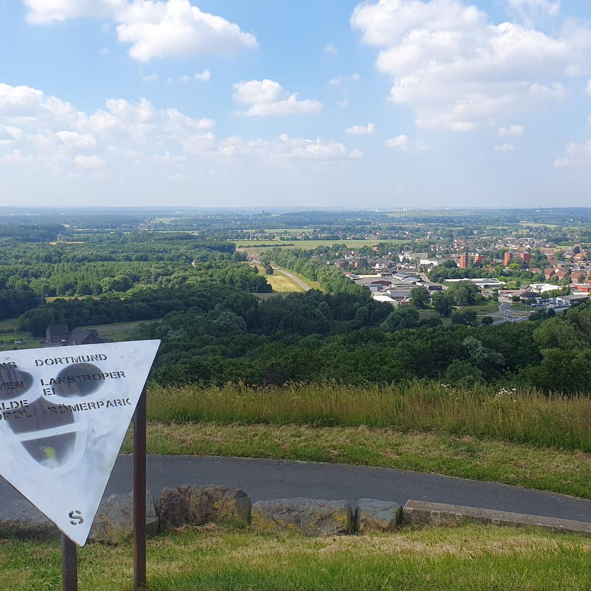
Mountain Hikes around Bad Münstereifel
Mountain Hikes around Schleiden
Mountain Hikes around Hellenthal
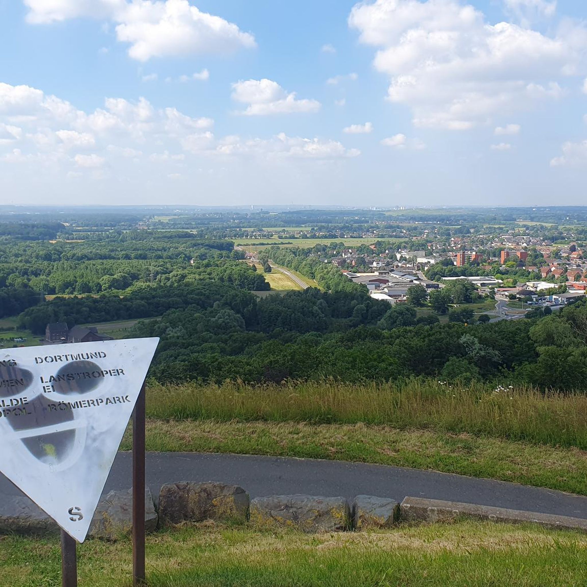
Mountain Hikes in Flamersheimer Wald
Mountain Hikes around Blankenheim

Mountain Hikes around Mechernich

Mountain Hikes around Zülpich
Mountain Hikes around Nettersheim

Mountain Hikes in Heinzenberg
Other adventures around Euskirchen


Tips from the Community

Hi 👋😊 This highlight is located in the Eifel National Park. To protect sensitive species, there are special rules here: Stay on official paths, keep dogs on a leash, take your trash back with you, and cycle/MTB only on designated paths. Smoking and fires are taboo – wildfire risk🔥! Thanks for your understanding! 💚 Further information can be found at www.nationalpark-eifel.de. We wish you a great time in the emerging wilderness!
1
0

Good wine list and good food, perfect after a tour
0
0

Directly at the power plant and parking lot.
0
0

A very nice rest area on the Red Wine Hiking Trail. The hiking trail near the rest area is beautifully rocky and crisscrossed with roots, offering outstanding views of the Ahr Valley.
2
0
In spring and fall, WildeAhr has a sales booth here. The WildeAhr sales company sells wines and products from the Ahr region and regularly hosts events. At this time of year, you'll find such stands every few kilometers along the Red Wine Hiking Trail. Ideal for taking a break and sampling the excellent wines of the Ahr region. The stands often also offer snacks.
3
0

Anyone familiar with the ancient idiom—now largely lost—will recognize the root word "meucheln" (to kill/murder) in the "Meuchelberg" found here. The fact that the local cemetery is located at its foot on the outskirts of Heimbach naturally reinforces this impression. GH's interesting article, with its link to several legends that—albeit with different interpretations of the details—all convey the same core message, could indeed explain the name.
8
0

Unfortunately, the cafe and the legendary cream puffs are no longer there.
1
0
Hikers are welcome guests at the Krausberghütte, located on the mountain of the same name above Dernau, just a stone's throw from the Krausberg Tower (if interested, see https://www.komoot.com/de-de/highlight/72123). It is run by the local chapter of the Eifel Association – a volunteer organization. Those planning a stop here should check the opening hours beforehand.
9
0
Frequently Asked Questions
How many mountaineering routes are available around Euskirchen?
There are over 20 mountaineering routes around Euskirchen, offering a variety of experiences for different skill levels. The komoot community has explored these trails more than 150 times.
What are the general difficulty levels of mountaineering routes in Euskirchen?
The routes around Euskirchen cater to various abilities. You'll find approximately 6 easy routes, 12 moderate routes, and 6 difficult routes, ensuring there's something for everyone from beginners to experienced mountaineers.
What do other mountaineers say about the routes in Euskirchen?
The mountaineering routes in Euskirchen are highly rated by the komoot community, with an average score of 4.6 stars from over 60 reviews. Users often praise the diverse terrain and scenic beauty of the region.
Are there any family-friendly mountaineering routes in Euskirchen?
Yes, there are several family-friendly options. An excellent choice is the Heimbach Reservoir loop from Rur Dam, an easy 2.6-mile (4.2 km) trail that takes about 1 hour 13 minutes to complete, leading through pleasant forested areas around the reservoir.
Can I find circular mountaineering routes in the Euskirchen area?
Absolutely. Many routes in the Euskirchen area are designed as loops, allowing you to start and end at the same point. For example, consider the Mountaineering loop from Dernau, a moderate 6.8-mile (10.9 km) route.
What kind of natural landscapes can I expect to see on these routes?
Euskirchen offers diverse natural landscapes, including parts of the Eifel National Park, extensive forests like the Billiger Forest, and scenic valleys such as the Sahrbach Valley. You'll also encounter beautiful water bodies like the Steinbachtalsperre and Urftsee, which add to the region's charm.
Are there any historical or cultural landmarks along the mountaineering trails?
Yes, the region is rich in history. Many trails lead past significant cultural and historical sites. You might encounter impressive moated castles, the historic Roman Canal, or other points of interest. For example, the View of the Urft Dam and the Urftsee offers both natural beauty and a glimpse into the region's infrastructure.
Are there options for more challenging mountaineering experiences?
For those seeking a challenge, Euskirchen offers several difficult routes. The Devil's Hole – Teufelsley summit loop from Kesseling is a demanding 9.2-mile (14.8 km) trail with significant elevation gain, typically taking over 4 hours to complete.
Is it possible to access mountaineering routes around Euskirchen by public transport?
Euskirchen has a well-developed network of trails, and while specific public transport connections to every trailhead vary, the region generally offers good accessibility. It's advisable to check local bus or train schedules for routes connecting to the starting points of your chosen tour.
What is the best time of year for mountaineering in Euskirchen?
The Euskirchen region is enjoyable for outdoor activities throughout much of the year. Spring and autumn offer pleasant temperatures and vibrant scenery, while summer provides longer daylight hours. Even winter can be beautiful, though some trails might require appropriate gear due to snow or ice.
Are there any notable natural monuments or geological features to explore?
Yes, the area boasts interesting natural features. You can visit the Katzensteine Sandstone Rock Formation or explore the Kakus Cave and Kartstein Cliffs, which are popular highlights for those interested in geology and natural history.
Can I find routes that take me through gorges or valleys?
Absolutely. The Euskirchen region features idyllic valleys and gorges that are perfect for exploration. Consider routes that pass through areas like the Lampertstal or the Genfbach Valley for a scenic experience.
Most popular routes around Euskirchen
Most popular attractions around Euskirchen

Get inspired with the komoot mobile app


Didn’t find what you were looking for?
Check out more Mountain Hikes & Routes throughout Euskirchen below and find the perfect route in your destination.
Explore more
Browse the best Mountain Hikes & Routes in other regions.
