Routes

Planner

Features

Updates

App

Login or Signup

Get the App

Login or Signup

Routes
Hikes
United States
Wyoming

Absaroka Range

The best walks and hikes in the Absaroka Range

4.8

(720)

10,818

hikers

146

hikes

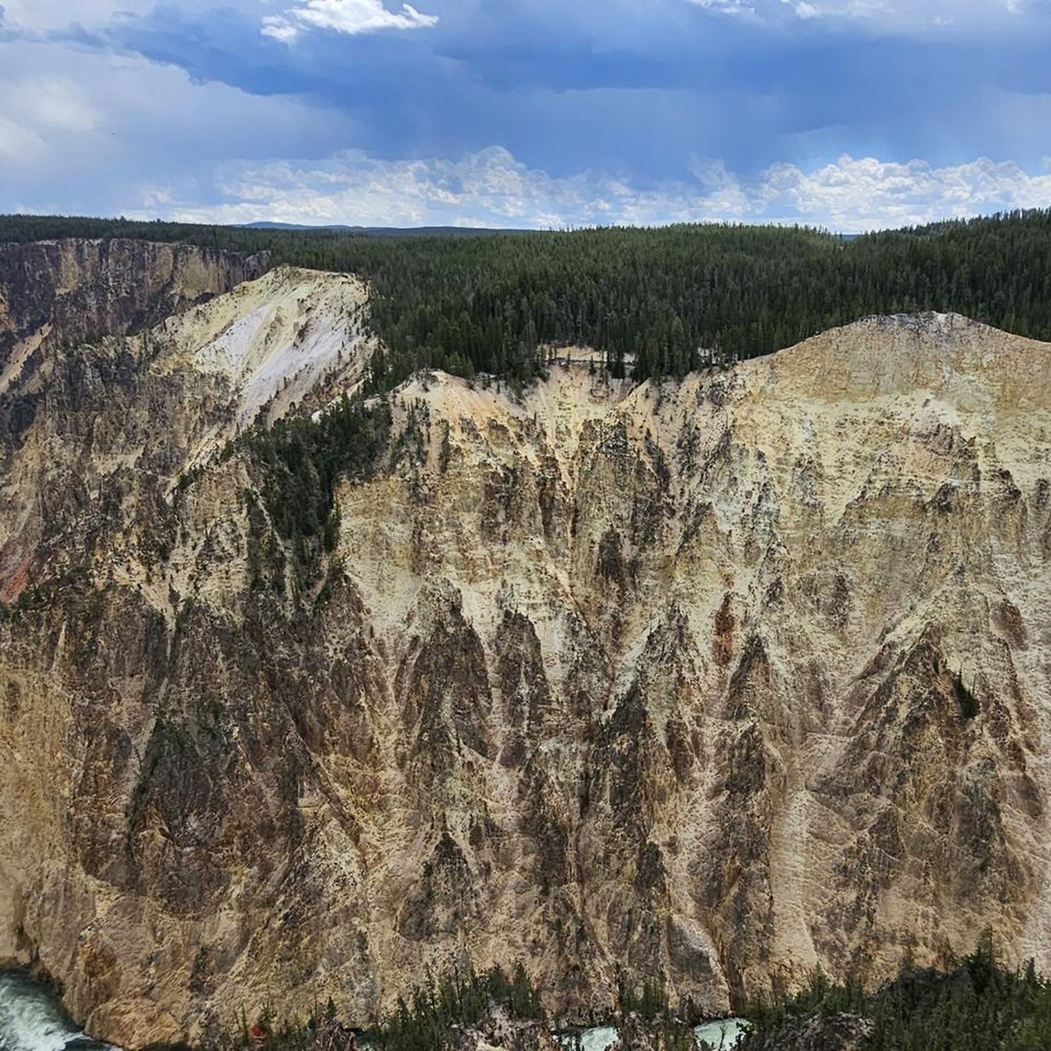
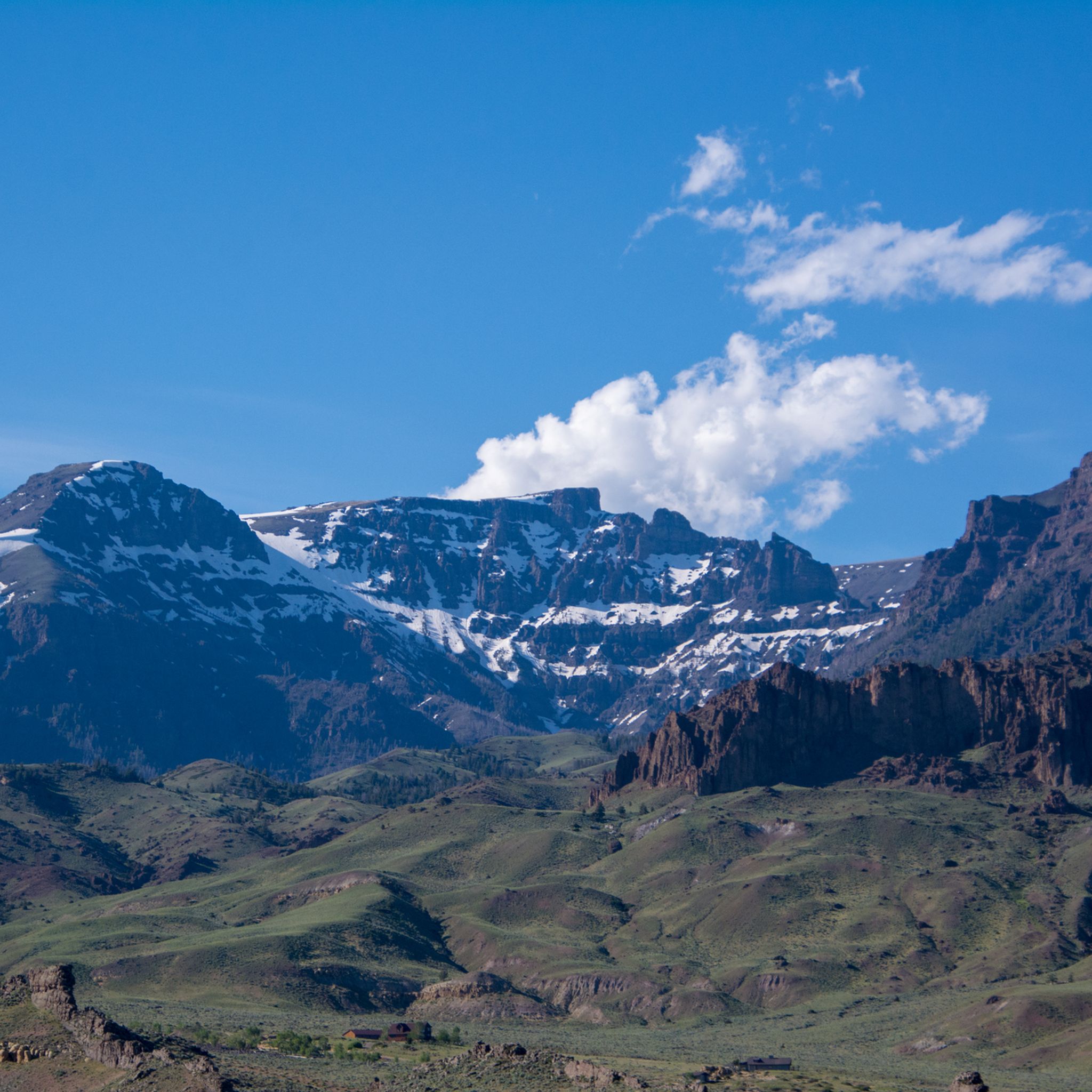
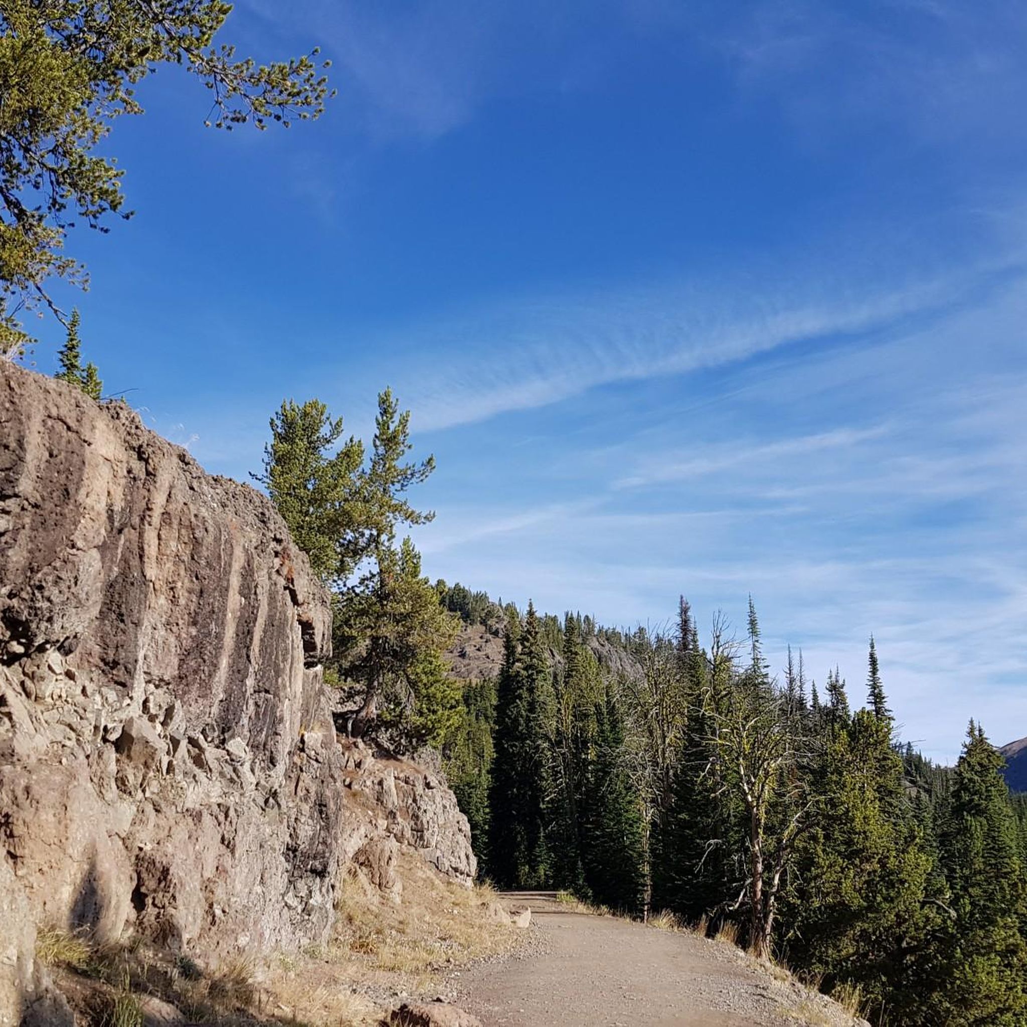
Hiking in the Absaroka Range explores a rugged expanse of the Rocky Mountains, characterized by its unique volcanic geology, which has sculpted spires and turrets. The terrain features dense conifer forests, broad mountain meadows, and numerous alpine lakes and rivers. A significant portion of the range is protected within the Absaroka-Beartooth Wilderness and Yellowstone National Park, offering a network of trails through a wild landscape.

Best hiking trails in the Absaroka Range

  • The most popular hiking route is Mount Washburn Trail, a 7.1 miles (11.4 km) trail that takes about 3 hours 40 minutes to complete. This route climbs to the summit of Mount Washburn, a prominent peak within Yellowstone National Park.
  • Another top favourite among local hikers is Beauty Lake and Beartooth High Lakes Loop, a moderate 7.6 miles (12.2 km) path. This loop offers views of alpine lakes and high mountain scenery.
  • Local hikers also love the Mystic Lake via West Rosebud Trail, a 2.8 miles (4.6 km) trail leading through Custer Gallatin National Forest, often completed in about 1 hour 35 minutes.
  • Hiking in the Absaroka Range is defined by high-elevation peaks, forested river valleys, and alpine lakes. The trail network offers options for different ability levels, from accessible paths to challenging multi-day backpacking trips.
  • The routes in Absaroka Range are highly rated by the komoot community with an average score of 4.8 stars from over 340 reviews. More than 5,000 hikers have used komoot to explore Absaroka Range's varied terrain.

Last updated: June 24, 2026

29

hikers

#1.

Grand View Point via Bug Canyon Loop

8.45km

02:35

350m

200m

Embark on the Grand View Point via Bug Canyon Loop, a moderate hiking route that takes you through varied landscapes. You will cover 5.3 miles (8.5 km) and ascend 1140 feet (348 metres) over approximately 2 hours and 35 minutes. The path begins on an old two-track road, leading through open meadows before entering the unique terrain of Bug Canyon. As you climb, you will pass through an old forest, complete with seasonal ponds and footbridges. The reward for your effort is the panoramic vista from Grand View Point, offering expansive views of the Absaroka and Teton Mountains, including iconic peaks like Grand Teton.

This route offers a chance for solitude within Grand Teton National Park, providing a less-traveled path to the popular Grand View Point. While specific permits or fees are not highlighted, remember you are hiking within a national park, so standard park entrance fees apply. The trail itself features uneven terrain with rocky steps and steep sections, so be sure to wear sturdy, appropriate footwear for a comfortable and safe experience. Plan your visit to allow ample time to enjoy the views from the summit.

The trail's journey through Bug Canyon eventually opens into a sagebrush flat, showcasing the diverse ecosystems present in the park. This particular loop is notable for providing a different perspective of the Grand Teton area, moving from lower elevation flats to higher forest and viewpoints. You will see glacial lakes like Jackson Lake from Grand View Point, adding another layer to the scenic beauty. It's an excellent option for those looking to explore beyond the most crowded areas while still experiencing the park's grandeur.

Navigate with device

Send to Phone

Save

Moderate

4.8

(37)

372

hikers

6.48km

01:45

90m

90m

The South Rim Trail in Grand Canyon National Park delivers an unparalleled experience of the canyon's vastness, offering continuous, breathtaking views from its accessible rimside path. As you walk, the terrain shifts from paved sections to packed dirt, always keeping the immense chasm in sight. You'll pass iconic viewpoints like Mather Point and Yavapai Point, where the sheer scale of the Grand Canyon truly sinks in, often revealing the distant glint of the Colorado River nearly a mile below.

This easy 4.0-mile (6.5 km) hike, with a gentle 292 feet (89 metres) of elevation gain, typically takes about 1 hours and 45 minutes. It's ideal for families and those seeking a less strenuous way to experience the Grand Canyon's majesty. The trail runs parallel to Hermit Road, where a free shuttle bus allows you to hop on and off, customizing your journey and making it easy to return to your starting point. Water sources are available at Grand Canyon Village and Hermits Rest.

What makes this trail one of the best hikes along the South Rim of the Grand Canyon is its combination of accessibility and spectacular scenery. It's a popular choice for good reason, connecting Grand Canyon Village with Hermits Rest Point and offering diverse perspectives on the canyon's natural features. Ranger-led programs and visitor centers like the Yavapai Geology Museum along the route provide educational insights, enriching your understanding of this geological wonder.

Easy
guide_signup
Let us show you the way with the komoot mobile app
With a free komoot account, you can easily find, customize, and navigate endless outdoor adventures.

Sign up for free

4.7

(31)

398

hikers

11.4km

03:38

470m

470m

The Mount Washburn Trail offers a truly rewarding hiking experience in Yellowstone, leading you through diverse terrain to a spectacular 10,243-foot (3,122 m) summit. This moderate 7.1-mile (11.4 km) route involves a significant 1547 feet (471 metres) of elevation gain, typically taking around 3 hours and 38 minutes. You can choose between the scenic Dunraven Pass route, winding through forests and wildflower meadows, or the steeper Chittenden Road trail, which provides continuous open views. Keep an eye out for bighorn sheep near Dunraven Pass and enjoy the changing flora as you ascend, from lodgepole pines to gnarled whitebark pines near the timberline.

To make the most of your visit, plan an early start, especially in summer, to avoid afternoon thunderstorms and potential lightning risks above the treeline. The trail has no water sources, so be sure to carry sufficient hydration for the entire 7.1-mile (11.4 km) journey. Both the Dunraven Pass and Chittenden Road trailheads offer access, but parking can fill up quickly during peak season. The best time to hike for wildflowers is typically July, and fall can offer opportunities to spot bears feeding on whitebark pine nuts.

Mount Washburn is one of Yellowstone National Park's most popular day hikes, renowned for its extraordinary 360-degree panoramic views from the summit. From this vantage point, you can see vast expanses of the park, including Yellowstone Lake, the Grand Canyon of the Yellowstone, and even the distant Teton peaks on clear days. The summit also features a continuously staffed fire lookout tower during fire season, which provides public restrooms and an observation deck, adding a unique landmark to your hiking experience.

Moderate

5.0

(1)

9

hikers

1.44km

00:26

70m

10m

The Trout Lake Trail offers a delightful, short hike leading to a pristine 12-acre mountain lake in Yellowstone National Park. You'll start with a moderately strenuous climb through a Douglas-fir forest, gaining about 200 feet in the first quarter-mile, before the path levels out and descends to the water's edge. Once at Trout Lake, you're rewarded with amazing views and the chance to spot river otters or fish jumping, making this an easy 0.9-mile (1.4 km) lollipop loop with 218 feet (67 metres) of elevation gain, typically taking around 26 minutes.

This family-friendly route is a popular spot for both hiking and catch-and-release fishing for cutthroat trout. The trail is in bear country, so carrying bear spray is recommended for safety. While the initial ascent is a bit of a workout, the rest of the trail around the lake is relatively flat, making it accessible for most. Consider visiting in summer for abundant wildflowers or in fall for vibrant autumn colors.

Trout Lake is a notable natural feature within Yellowstone, known for its serene beauty and wildlife viewing opportunities. It provides a peaceful escape from some of the park's more crowded attractions. The lake's ecosystem supports cutthroat trout, which in turn attract otters, adding to the unique natural experience of this trail.

Easy

5.0

(1)

7

hikers

Start your hike on the Beauty Lake and Beartooth High Lakes Loop, a moderate route covering 7.6 miles (12.2 km) with an elevation gain of 1124 feet (343 metres). You can expect to complete this journey in about 3 hours and 35 minutes. The trail winds through varied terrain, from rolling granite to marshy meadows and open subalpine areas. You will encounter many clear alpine lakes, with Beauty Lake being a highlight, often described as a mirror for the surrounding landscape. Look out for panoramic views of Beartooth Butte and Lonesome Mountain, especially when wildflowers are blooming in mid to late summer.

Planning your visit is key for this hike. The best time to go is typically from mid to late summer, after the snow has melted and wildflowers are in full bloom. If you plan an early season trip, be prepared for potential snow, challenging stream crossings, and marshy sections. Parking is available right at the trailhead, which you can reach via the scenic Beartooth Highway.

This loop offers a fantastic journey through the Shoshone National Forest, showcasing the high alpine beauty of the Beartooth Mountains. The diverse landscape features not only granite and meadows but also open subalpine areas, providing a rich natural experience. It is a popular choice for those wanting to immerse themselves in the unique environment of this mountain range.

Moderate

3.0

(1)

7

hikers

3.98km

01:07

80m

80m

Step onto the Silver Run Trail for an easy hike that guides you through a peaceful lodgepole pine forest. You'll follow the West Fork of Rock Creek, enjoying the sight of its boulder-strewn banks. This route covers 2.5 miles (4.0 km) with a gentle elevation gain of 264 feet (81 metres), typically taking about 1 hour and 6 minutes to complete at a relaxed pace.

Planning your visit is straightforward; the trailhead is conveniently located near Red Lodge, making it an excellent choice for a quick outdoor escape. Parking is generally available right at the start of the trail. You won't need any special permits to access this multi-use path, so you can head out whenever you're ready for a refreshing walk.

Situated within the vast Custer Gallatin National Forest, the Silver Run Trail offers more than just hiking. It's a versatile path that also welcomes mountain bikers and cross-country skiers, depending on the season. This makes it a popular spot for various outdoor activities and a great way to experience the natural beauty of the area close to Red Lodge.

Easy

4

hikers

Embark on the Mystic Lake via West Rosebud Trail, a moderate hiking route that spans 2.8 miles (4.6 km) and involves a climb of 1285 feet (392 metres). You can expect to complete this journey in about 1 hour and 34 minutes. The trail begins by winding through shaded lodgepole pine and aspen forests, following the clear waters of West Rosebud Creek, where you will encounter small waterfalls. As you progress, the terrain shifts to a more rugged, rocky landscape, featuring switchbacks that lead you higher.

When planning your hike, be aware that snow can linger on the trail into early summer, and icy patches might appear early in the fall, making conditions more challenging. For the most favorable hiking experience, especially if you are less experienced, aim to visit between June and August. The trailhead is easily accessible, and you will pass a hydroelectric plant and dam near the start, which adds an interesting historical element to the natural surroundings.

This route culminates at Mystic Lake, which is recognized as the largest and deepest lake within the Beartooth Mountains. The lake is cradled in a dramatic alpine basin, surrounded by impressive peaks like Tempest and Granite Peak, offering a truly memorable destination. The journey itself provides consistently rewarding views, making it a popular choice for those seeking a blend of forest paths and high-mountain scenery.

Moderate

2

hikers

Embark on an easy hike along the Hellroaring Creek Trail, a 1.1 miles (1.7 km) route that takes approximately 31 minutes to complete. You will encounter no elevation gain, making this a flat and accessible outing. As you follow the path, you can expect to move through open sagebrush meadows and past stands of Douglas fir, with clear glimpses of the cold Hellroaring Creek flowing nearby.

When planning your visit, remember that parking is generally available right at the trailhead, providing convenient access to the route. While this specific Komoot tour is short, the Hellroaring Creek area is known for its wildlife, including grizzly bears. For your safety, carrying bear spray is highly recommended during your hike.

This trail offers a prime opportunity for wildlife observation, as the area is frequented by bison, elk, and various bird species. The diverse natural features, from open meadows to forested sections, create an engaging environment for spotting animals. It is a notable spot within Yellowstone National Park for experiencing its natural ecosystem up close.

Easy

Enjoy a peaceful hike around the Markham and New Cody Reservoirs. This easy 2.1-mile (3.3 km) loop offers serene views of the water and surrounding Wyoming landscape. With just 17 feet (5 metres) of elevation gain, you can complete this paved route in about 50 minutes, making it a perfect quick escape into nature. Keep an eye out for local wildlife as you stroll along the water's edge.

The route is highly accessible, being entirely paved and suitable for everyone, including those with wheelchairs or strollers. You can also bring your dog along to enjoy the outing. Parking is usually easy to find, allowing for a smooth start to your adventure. This makes it a convenient choice for a relaxed walk at any time of day.

Located within Beck Lake Park, this loop stands out as an inclusive option for the community. Its fully paved surface ensures that it is wheelchair-friendly and stroller-friendly, welcoming a wide range of visitors to experience the outdoors. The focus on accessibility makes it a valuable resource for families and individuals seeking an easy, enjoyable natural setting.

Easy

2

hikers

3.82km

01:30

60m

380m

Embark on the Glacier Lake Trail, a moderate hike that leads you through dramatic mountain scenery to a stunning alpine lake. This route covers 2.4 miles (3.8 km) with an elevation gain of 188 feet (57 metres), offering a rewarding journey to Glacier Lake itself. You will find the striking turquoise blue water of the lake nestled at 9,700 feet, a truly memorable sight after your ascent. The trail provides a wonderful sense of accomplishment as you reach this high-altitude gem.

While the Glacier Lake Trail is relatively short, its significant uphill climb makes it a good workout, taking about 1 hour and 30 minutes to complete. It is a popular destination, so be ready to share the path with other hikers, especially during peak times. The higher elevations can be quite windy, so it is wise to bring appropriate layers to stay comfortable throughout your hike. Plan your visit to enjoy the best conditions and avoid any unexpected weather changes.

This trail is located within Wyoming's Custer Gallatin National Forest, leading you into the vast Absaroka-Beartooth Wilderness. The area is renowned for its rugged beauty and offers expansive views that stretch across the landscape. You can even catch glimpses of Glacier Lake from the Beartooth Pass summit, highlighting its prominent position in this wild region. The journey to the lake provides a true taste of the high country.

Moderate
Sign up for free to see 137 more hikes in the Absaroka Range.

Get access to more routes and recommendations from other explorers.

Sign up for free

Already have an account?

Our route recommendations are based on thousands of hikes, rides, and runs completed by other people on komoot.

Start today with a free account

Your next adventure awaits.

Login or Signup
Popular around Absaroka Range

Cycling in the Absaroka Range

Road Cycling Routes in the Absaroka Range

MTB Trails in the Absaroka Range

Running Trails in the Absaroka Range

Tips from the Community

Sigrid
October 29, 2025, Lower Falls

Hiking trails lead along the north and south sides of the canyon, offering frequent views of the waterfalls.

Translated by Google

0

0

great view of the Grand Tetons

Translated by Google

0

0

Custer Gallatin National Forest spans millions of acres across rugged peaks, alpine lakes, and sweeping valleys, offering endless opportunities for hiking, camping, and wildlife watching. From quiet backcountry trails to iconic routes near Yellowstone, it’s a gateway to some of Montana’s most wild and breathtaking landscapes.

0

0

Lisa
September 28, 2024, Upper Yellowstone Falls

This 110-foot waterfall is only small in comparison to the lower falls, which are almost 330 feet high. Needless to say the upper falls are still magnificent, and the interesting colors in the canyon walls are the result of this region's constant hydrothermal activity.

0

0

In May there can still be quite a lot of snow here, as this side is in the shade.

Translated by Google

0

0

A beautiful lake with many inlet streams to cross

0

0

Anna
July 20, 2023, Beartooth Lake

Trail can be very flooded early in the season, streams can be passed on rocks

0

0

Anna
July 19, 2023, Mount Washburn

Although it is very warm at the trailhead, it can be much colder at the summit due to strong winds. One of the best views in the park

Translated by Google

0

0

Frequently Asked Questions

What is the best time of year to hike in the Absaroka Range?

The prime hiking season in the Absaroka Range is typically from July through September. During these months, the high-elevation trails are mostly free of snow, and the weather is generally more stable. Wildflowers are often at their peak in July and early August. Be aware that thunderstorms are common in the afternoons, so it's wise to start your hikes early. Snow can linger in high passes well into July and can return as early as September.

Are there grizzly bears in the Absaroka Range?

Yes, the Absaroka Range is a core part of the Greater Yellowstone Ecosystem and is home to a significant population of grizzly bears, as well as black bears. It is essential to be bear-aware on all trails. This includes carrying bear spray and knowing how to use it, hiking in groups, making noise on the trail, and storing food and scented items securely.

Are dogs allowed on the trails?

Dog regulations vary depending on the specific area. In the Absaroka-Beartooth Wilderness and national forest lands like Custer Gallatin, dogs are generally permitted on trails but should be under voice control or on a leash. However, dogs are not allowed on any trails within Yellowstone National Park. Always check the specific regulations for your planned route before you go.

Are there any good hikes to see waterfalls?

Yes, the region has several hikes featuring waterfalls. A great option is the trail to Bridal Veil Falls in the Shoshone National Forest. It's a relatively easy 3.8-mile (6.1 km) walk that rewards you with views of the beautiful cascade. Another popular choice is the Upper and Lower Falls Trail to Artist Point, which offers iconic views of the waterfalls in the Grand Canyon of the Yellowstone.

What are some easier, family-friendly hikes in the area?

For a less strenuous outing, consider the Grand View Point trail. It's a 3.2-mile (5.1 km) hike with moderate elevation gain that offers fantastic panoramic views without a major climb. Its accessibility makes it a good choice for families and those looking for a shorter adventure.

Are there any challenging day hikes for experienced hikers?

Absolutely. For a strenuous but rewarding challenge, the Avalanche Peak Trail is an excellent choice. This 4.7-mile (7.6 km) round-trip hike involves a steep climb of over 1,900 feet (588 m), leading to magnificent panoramic views across Yellowstone Lake and the surrounding Absaroka peaks.

How difficult are the hiking trails in the Absaroka Range?

The trails cover a wide spectrum of difficulty. There are over 100 routes to choose from, with roughly half being easy or moderate. However, the range is known for its rugged, high-elevation terrain. Many trails involve significant elevation gain and can be physically demanding. There are 8 designated difficult routes, such as the Seven Mile Hole Trail, which descends steeply into the Grand Canyon of the Yellowstone.

Can I do a multi-day backpacking trip in the Absarokas?

Yes, the Absaroka Range is a premier destination for backpacking, with hundreds of miles of trails suitable for multi-day trips, particularly within the Absaroka-Beartooth Wilderness. You can plan trips of varying lengths, from overnight stays at alpine lakes to longer thru-hikes. Proper planning for food storage is critical due to the active bear population.

Are there any good circular or loop hikes?

Loop hikes are a great way to see varied scenery without backtracking. The Suce Creek Trail loop in the Custer Gallatin National Forest is a fantastic moderate option. It's about 5 miles (8 km) long and takes you through forests and meadows, offering a complete experience in under three hours.

What makes the geology of the Absaroka Range unique?

The Absarokas are distinct from many other Rocky Mountain ranges because they are the eroded remnants of a massive volcanic field. This volcanic origin is visible in the dark, craggy peaks and stratified rock layers. This geology creates a rugged and dramatic landscape for hiking, different from the granite-based mountains found in the neighboring Beartooth Range.

How do I get to the trailheads in the Absaroka Range?

Access to most trailheads requires a vehicle, as public transport options are very limited. Major highways like US-89 through Paradise Valley and US-212 (the Beartooth Highway, seasonally) provide access to the region. Many trailheads are located on gravel or dirt Forest Service roads, and a high-clearance vehicle is often recommended, especially after rain.

What do other hikers think of the trails in the Absaroka Range?

The area is highly regarded by the komoot community, with an average rating of 4.8 out of 5 stars from over 340 reviews. Hikers frequently praise the solitude, the stunning alpine scenery, and the opportunities for wildlife viewing. The wild, untamed character of the Absaroka-Beartooth Wilderness is a consistent highlight in reviews.

Most popular routes in the Absaroka Range

Easy hikes in the Absaroka Range

Most popular attractions in the Absaroka Range

Places to see

Store rating

Get inspired with the komoot mobile app

With a free komoot account, you can easily find, customize, and navigate endless outdoor adventures.

or

Join komoot Now

Store rating

Explore more

Browse the best Hikes in other regions.

Park CountyTeton CountyBridger-Teton National ForestSublette CountyMedicine Bow-Routt National ForestAlbany CountyBighorn MountainsLincoln CountyJohnson CountyFremont CountyBig Horn CountyCarbon CountySheridan CountyLaramie CountyNatrona CountyCrook CountyConverse County

Nearby adventure guides

Things to Do in North Absaroka Wilderness

Natural areas to explore nearby

Things to Do in Dubois Badlands Wilderness Study Area

background

Get ready to conquer new peaks

Sign up for Free

Explore
RoutesRoute plannerFeaturesHikesMTB TrailsRoad cycling routesBikepackingSitemap
Download the app
Follow Us on Socials

© komoot GmbH

Privacy Policy