The best road cycling routes around Nässjö
4.6
(14)
895
riders
27
rides
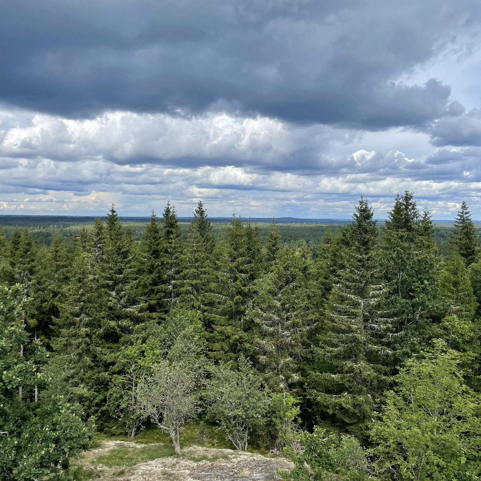
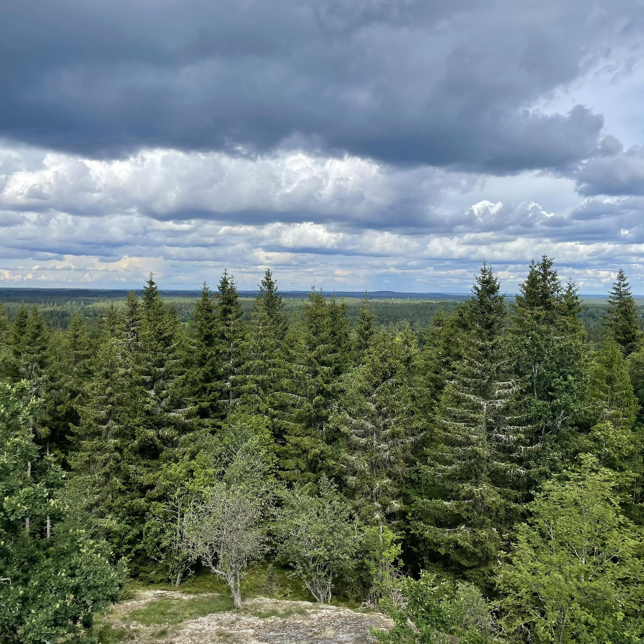
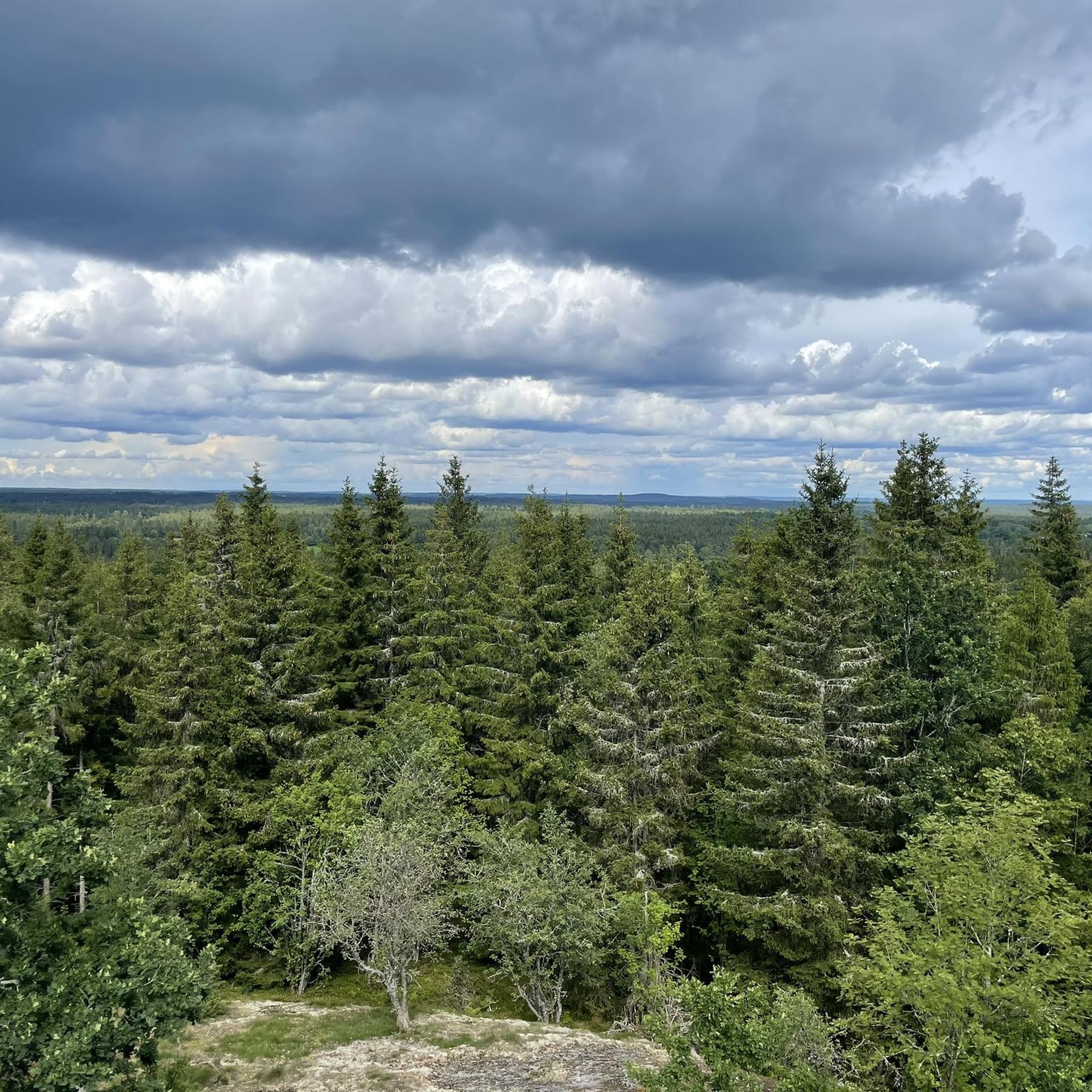
Road cycling around Nässjö offers diverse landscapes, featuring winding country roads, paved surfaces, and gravel paths. The region is characterized by extensive woodlands, a multitude of lakes, and a "mighty highland nature" that includes Tomtabacken, the highest point in the South Swedish Highlands at 376.5 meters. These varied natural features provide a range of road cycling routes suitable for different skill levels.
Best road cycling routes around Nässjö
- The most popular road cycling route is Haurida Church – Vista Kulle…
Last updated: May 16, 2026
4.7
(3)
537
riders
91.1km
03:59
640m
640m
Moderate road ride. Good fitness required. Some segments of this route may be unpaved and difficult to ride.
12
riders
52.1km
02:31
430m
430m
Moderate road ride. Good fitness required. Some segments of this route may be unpaved and difficult to ride.

Sign up for free
5.0
(1)
8
riders
63.4km
02:37
370m
370m
Moderate road ride. Good fitness required. Mostly well-paved surfaces and easy to ride.
8
riders
43.3km
01:54
350m
350m
Moderate road ride. Good fitness required. Mostly well-paved surfaces and easy to ride.
8
riders
54.1km
02:34
360m
360m
Moderate road ride. Good fitness required. Some segments of this route may be unpaved and difficult to ride.
Get access to more routes and recommendations from other explorers.
Sign up for free
Already have an account?
Our route recommendations are based on thousands of hikes, rides, and runs completed by other people on komoot.
Start today with a free account
Your next adventure awaits.
Login or Signup

Tips from the Community

This gazebo is located at the foot of the trail up to Vista kulle above Lake Vättern. It's a fine viewpoint, though for the really panoramic views, you'll have to embark on the trek to the 241-meter (790 ft) top.
0
0
This is a superb viewpoint for Lake Vättern on the trail up to Vista kulle. Birders will be in their element as many rare birds have been spotted here down the years. These include: pine grosbeaks, Eurasian hoopoes, red-footed falcons and pallid swifts.
0
0

The Huskvarna lies in a deep rift valley. Here it forms a bubbling waterfall.
0
0
Lovely little section through the woods along the walkway. Some great views of the town through the branches.
0
0

Wide roads in Tenhult, Sweden. This locality is located southeast of Jönköping about 14 km, towards Nässjö
0
0

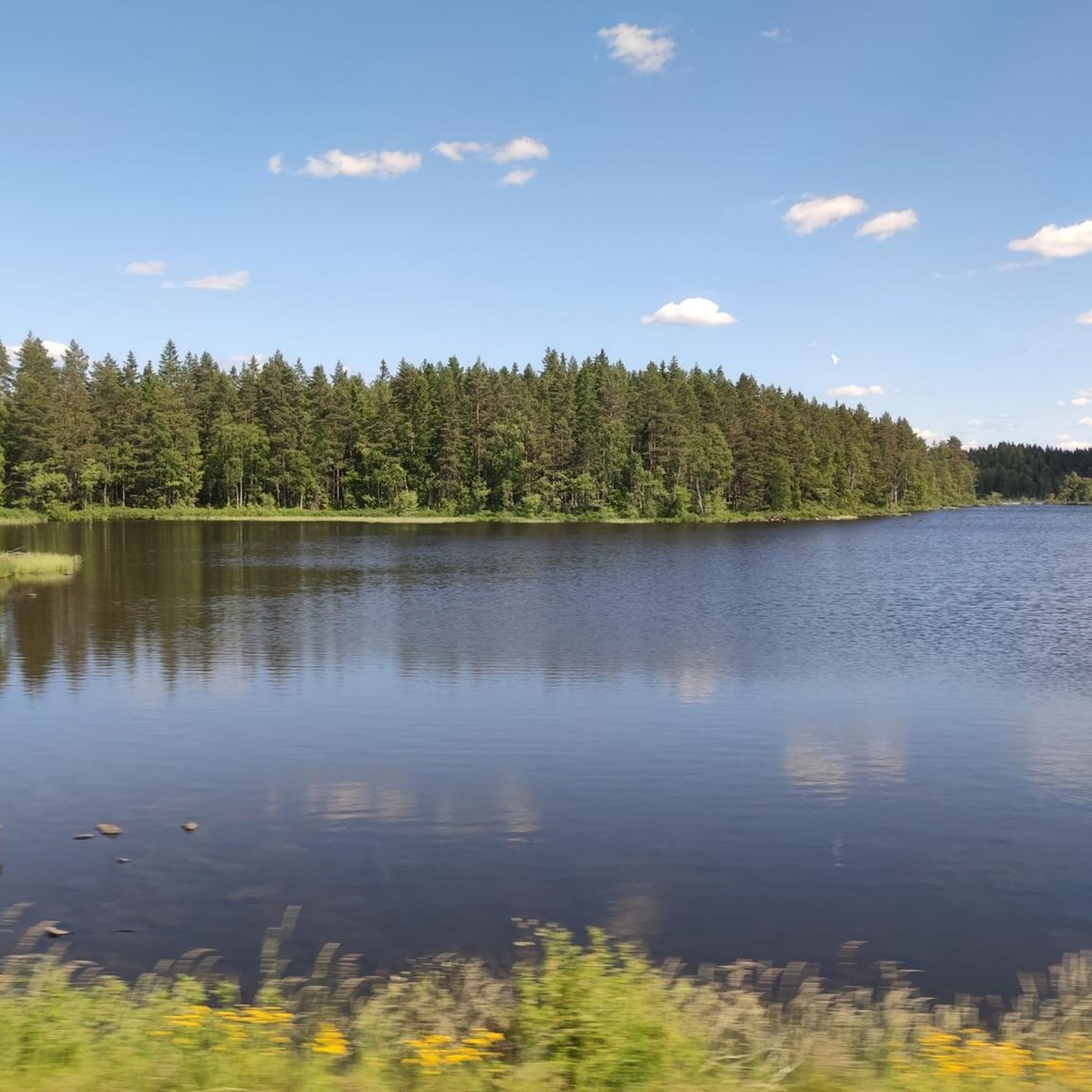
Beautiful scenic road running over Lake Bunn, a serene lake known for its rich fish population, including pike, zander, perch, roach, and bream.
0
0

This passage is awesome and, in my opinion, the most beautiful part of the course, which is worth seeing overall.
0
0
After a long drive overland you reach this beautiful old church. Absolutely worth seeing all around.
0
0
Frequently Asked Questions
How many road cycling routes are available around Nässjö?
Nässjö offers a wide selection of road cycling routes, with over 25 recorded tours. These include options for various skill levels, from easy rides to more challenging routes.
What are the difficulty levels of road cycling routes in Nässjö?
The road cycling routes around Nässjö cater to all abilities. There are 6 easy routes, 21 moderate routes, and 1 difficult route, ensuring options for beginners and experienced cyclists alike.
What kind of landscapes can I expect on road cycling routes in Nässjö?
Road cycling in Nässjö takes you through diverse landscapes, characterized by extensive woodlands, a multitude of lakes, and winding country roads. You'll experience the 'mighty highland nature' of Småland, including the highest point in the South Swedish Highlands, Tomtabacken, which reaches 376.5 meters above sea level.
Are there any scenic highlights or natural landmarks to see along the routes?
Yes, many routes offer scenic views and pass by natural landmarks. You can encounter picturesque sections along the Svartån river, or visit impressive waterfalls like Stalpet Waterfall and Anebyleden Waterfall. Other natural monuments include St. Sigfrid's Spring and the Hyllingen Nature Reserve.
Are there any loop road cycling routes in Nässjö?
Yes, many road cycling routes in Nässjö are designed as loops, allowing you to start and finish at the same point. Examples include the Haurida Church – Vista Kulle loop from Forserum, which is a popular choice, or the Huskvarna Falls – Smedbygatan loop from Forserum.
What are good starting points for road cycling in Nässjö?
Popular starting points for road cycling in the Nässjö area include Nässjö C, Forserum, and Sandsjöfors. Many routes are designed to begin from these locations, offering convenient access to the region's cycling network.
Are there options for family-friendly road cycling?
While specific 'family-friendly' road cycling routes are not explicitly categorized, the region's 6 easy routes, often on paved surfaces and country roads, can be suitable for families looking for less strenuous rides. Always check the route details for elevation and traffic conditions to ensure it meets your family's needs.
Can I find cafes or places to stop for refreshments along the routes?
Yes, many road cycling experiences in Nässjö are designed to include pleasant stops for coffee or sightseeing. For example, the Stalpet's Café & Handicrafts is a great spot near the Stalpet Waterfall.
What is the best season for road cycling in Nässjö?
The best season for road cycling in Nässjö is typically during the warmer months, from spring to autumn, when the weather is mild and the landscapes are vibrant. Summer offers long daylight hours, while spring and autumn provide beautiful scenery with fewer crowds. Winter conditions can be challenging due to snow and ice.
Are there any routes that pass by historical or cultural sites?
Yes, some routes offer cultural interest. The Ancient Runestone and Cemetery loop from Nässjö C is one such example. Additionally, the nearby town of Eksjö, known for its well-preserved wooden buildings, can be integrated into longer cycling routes, and the Emåns Ekomuseum is also along certain paths.
How long are the road cycling routes typically?
The road cycling routes around Nässjö vary significantly in length. You can find shorter routes, like the 23.1 km Svartån loop, to longer, more challenging rides such as the Haurida Church – Vista Kulle loop from Forserum, which covers 92 km and takes approximately 4 hours.
Are there challenging road cycling routes for experienced riders?
Yes, Nässjö offers challenging routes for experienced road cyclists. While most routes are moderate, there is at least one designated difficult route. The region's varied terrain, including the ascent to Tomtabacken, provides opportunities for more demanding rides with significant elevation gains.
What do other cyclists say about road cycling in Nässjö?
The road cycling routes in Nässjö are highly rated by the komoot community, with an average score of 4.8 stars from several reviews. Cyclists often praise the diverse natural landscapes, the extensive woodlands, and the multitude of lakes that define the region's cycling experience.
Most popular attractions around Nässjö

Get inspired with the komoot mobile app


Explore more
Browse the best Road cycling routes in other regions.
