The best mountain hikes around Lingewaard
4.9
(9)
25
hikers
4
hikes
Mountaineering routes around Lingewaard traverse a predominantly flat, river-dominated landscape in the eastern Netherlands. The terrain consists mainly of lowlands situated between the major cities of Arnhem and Nijmegen. While the region is characterized by modest hills rather than mountains, some routes offer varied elevation gains. The highest points, such as the Motte Mergelp on the Duivelsberg, are considered hills.
Best mountaineering routes around Lingewaard
- The most popular mountaineering route is Picnic Spot by the Stream – Devil's Mountain (Duivelsberg)…
Last updated: October 10, 2026
4.8
(8)
20
hikers
Moderate mountaineering route. Good fitness required. Easily-accessible paths. Suitable for all skill levels.
3
hikers
Easy mountaineering route. Great for any fitness level. Easily-accessible paths. Suitable for all skill levels.

5.0
(1)
1
hikers
Easy mountaineering route. Great for any fitness level. Easily-accessible paths. Suitable for all skill levels.
1
hikers
Easy mountaineering route. Great for any fitness level. Easily-accessible paths. Suitable for all skill levels.
Our route recommendations are based on thousands of hikes, rides, and runs completed by other people on komoot.
Start today with a free account
Your next adventure awaits.
Popular around Lingewaard
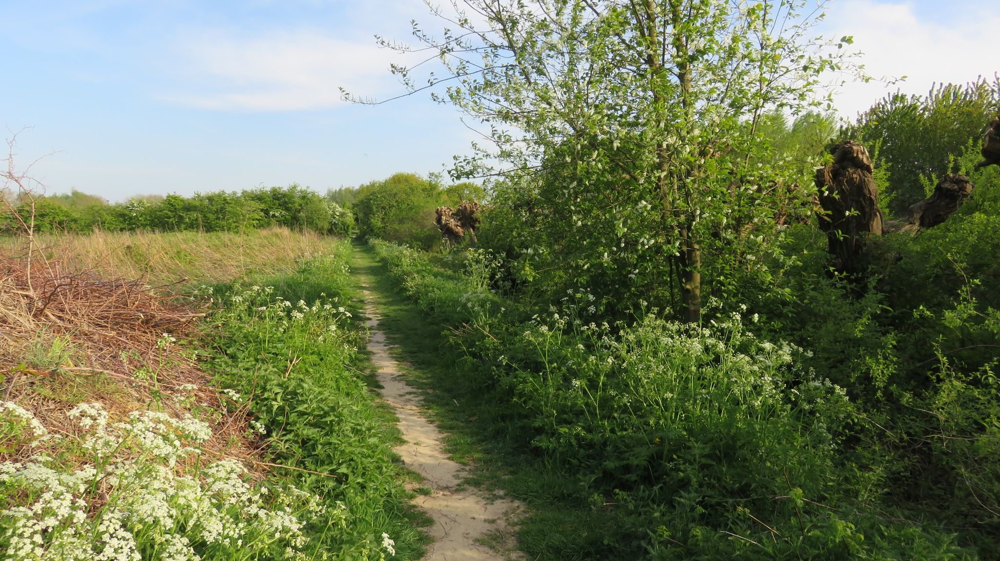
Clogs Trails with Children – 10 hiking adventures in Gelderland and Utrecht
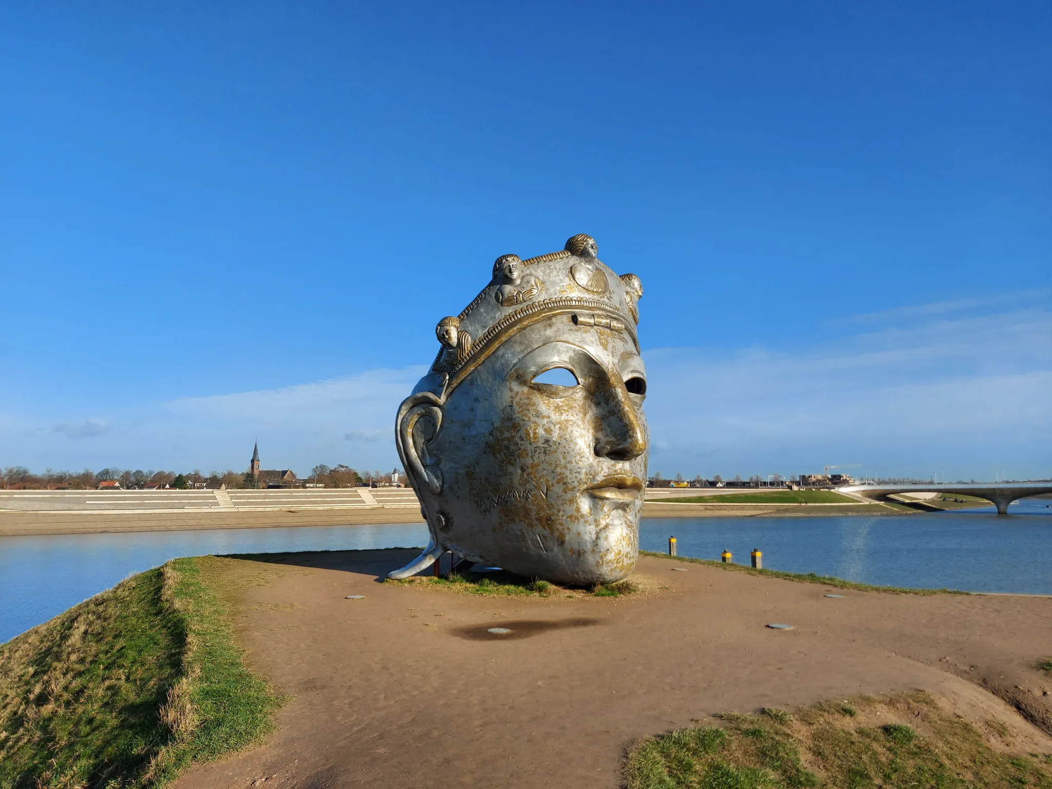
In the footsteps of the Romans on the Roman Limes Trail
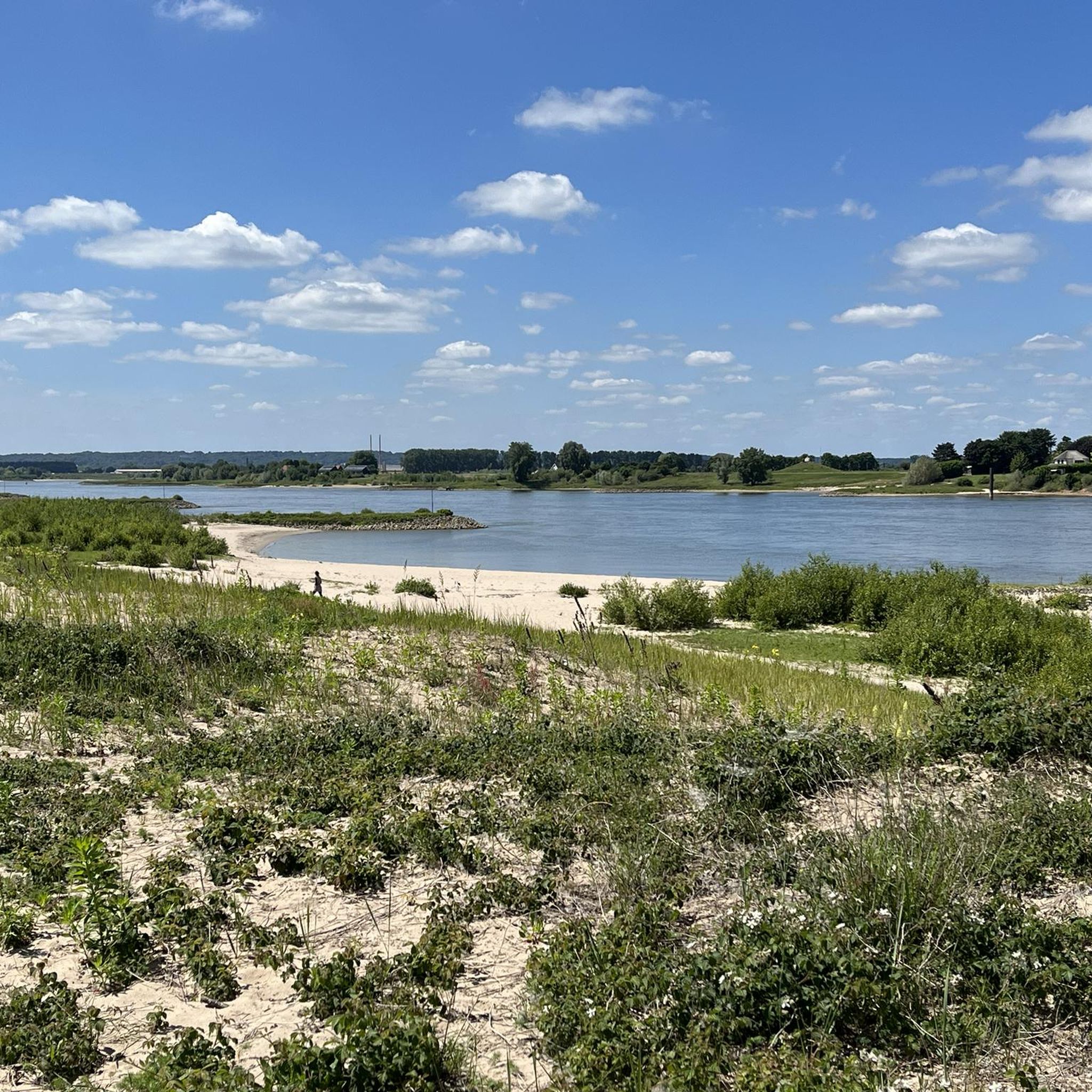
Cycling around Lingewaard
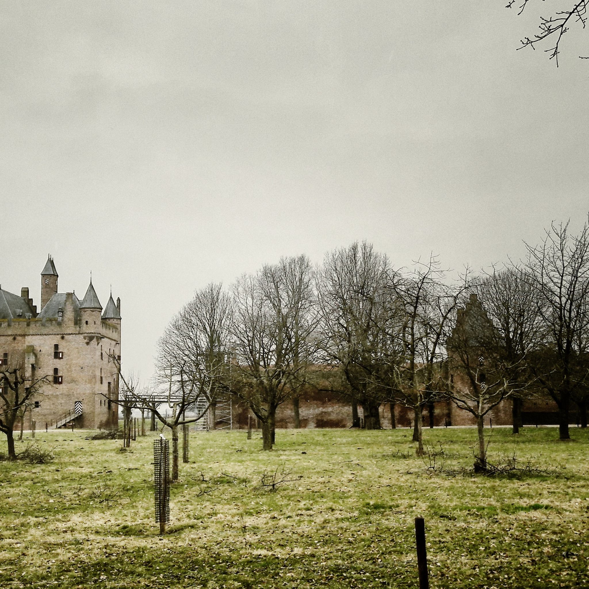
Hiking around Lingewaard
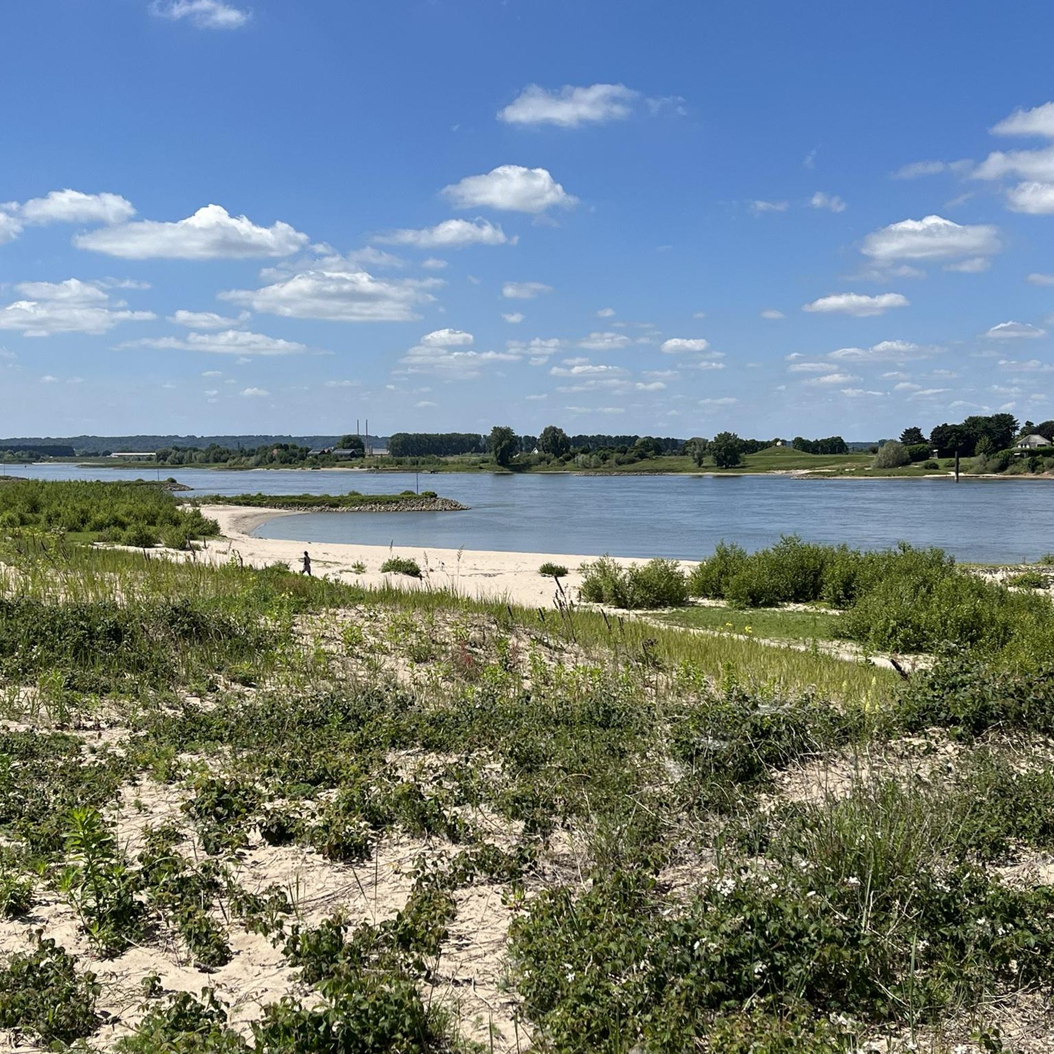
Road Cycling Routes around Lingewaard
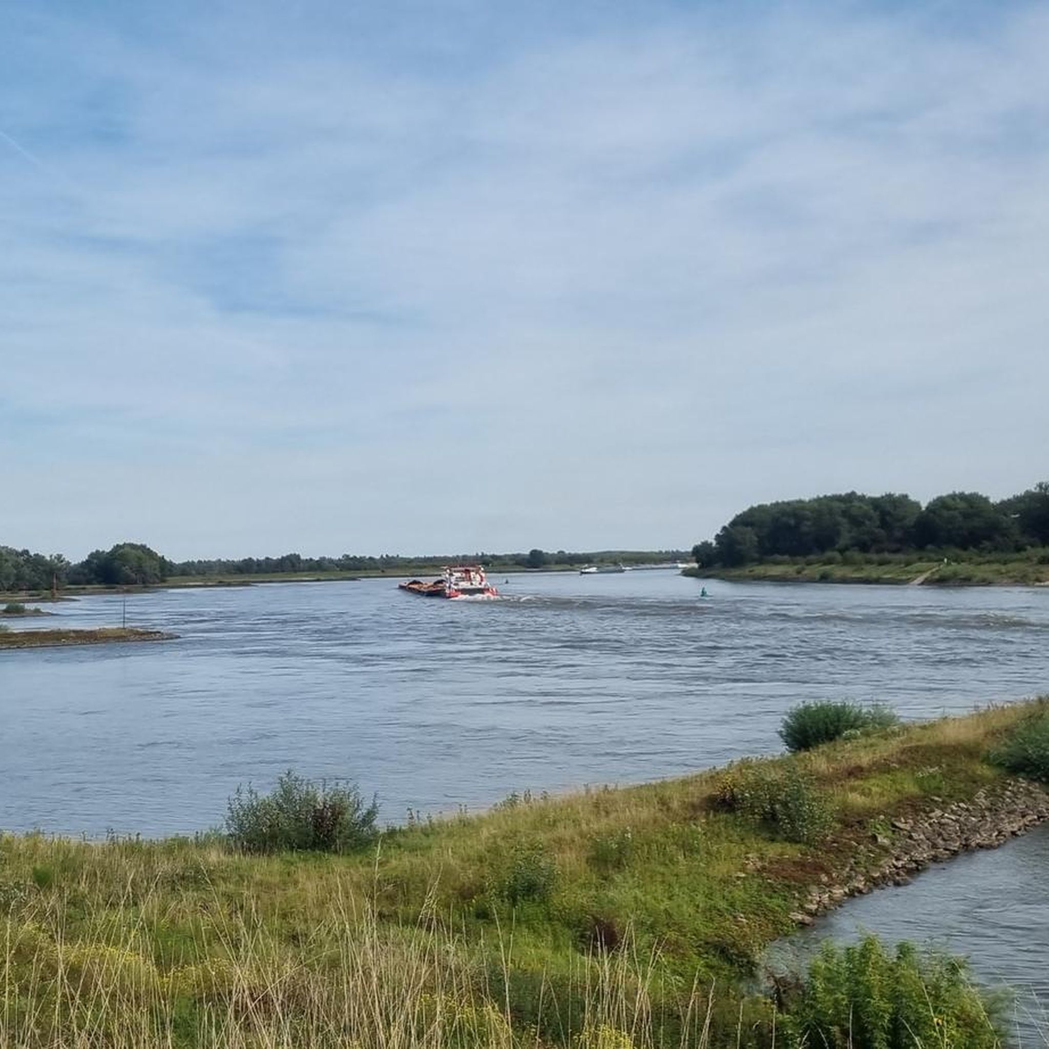
Running Trails around Lingewaard
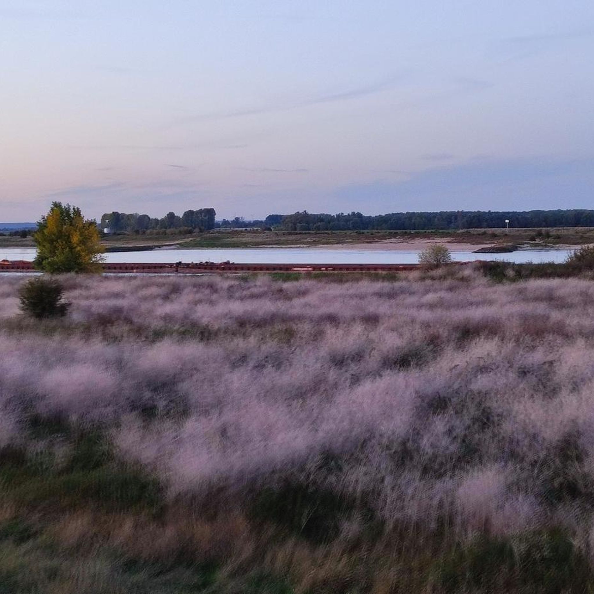
Gravel biking around Lingewaard
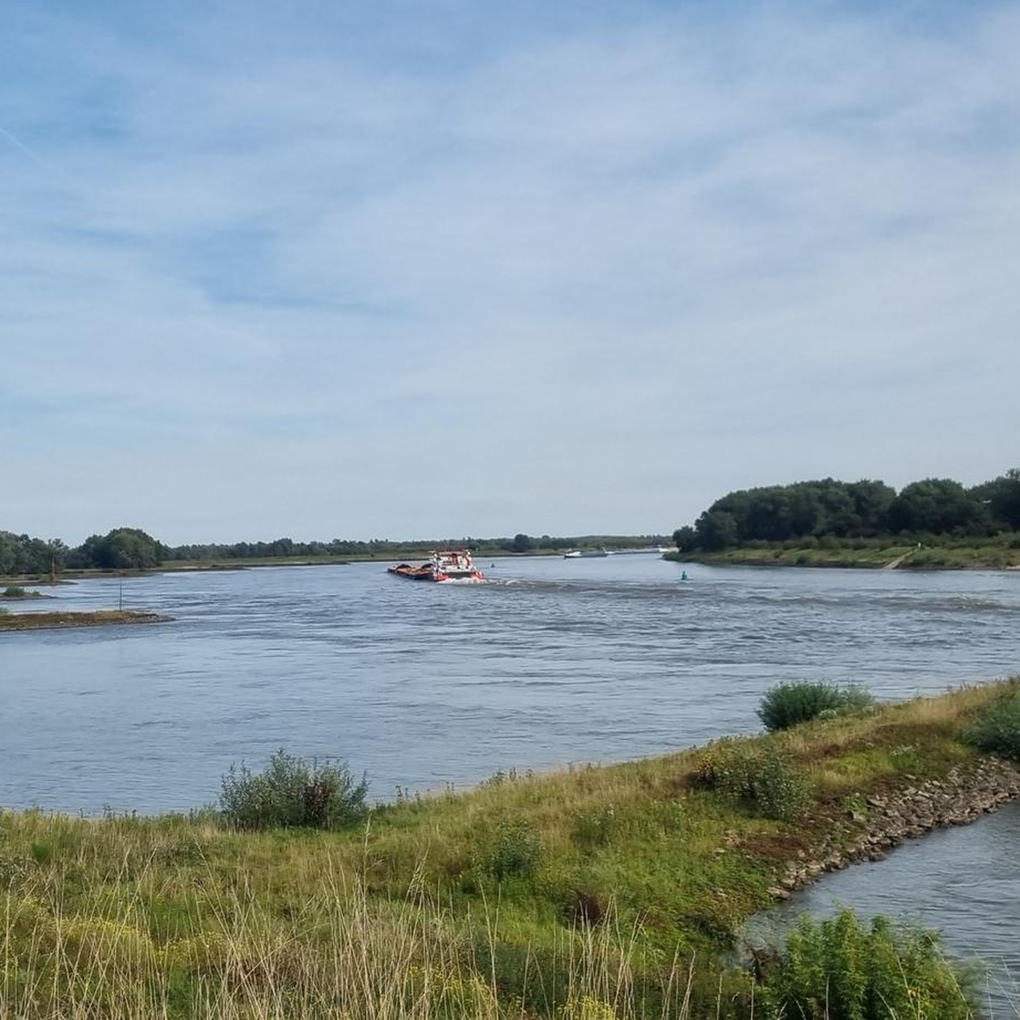
MTB Trails around Lingewaard

Tips from the Community

you will encounter enough of these little stairs
0
0


It can be busy on weekends. It is a popular hiking area.
1
0

The thought is nice, but there would be better benches upstairs
0
0

nice area for walking, dogs are allowed to run free here between 1-10 and 1-5
1
0

Beautiful view over the Rhine Valley
0
0
Frequently Asked Questions
What kind of 'mountaineering' experience can I expect in Lingewaard?
Lingewaard is characterized by a predominantly flat, river-dominated landscape. The 'mountaineering' routes here are more akin to hilly hikes, offering varied elevation gains on modest hills rather than technical climbing. You'll find scenic paths through forests and along rivers, with the highest points being gentle ascents like the Duivelsberg.
What natural features will I encounter on these routes?
You'll experience picturesque riverine landscapes along the Waal, Pannerdensch Kanaal, and Linge rivers. Many routes traverse extensive woodlands like the Huissen Forest, and you can explore the vast meadows of the Bemmelse Waard nature reserve, known for its diverse wildlife including beavers. The region also features numerous orchards and market gardens.
Are there any easy routes suitable for beginners or families?
Yes, there are several easy routes perfect for beginners or families. For example, the Sunken Path in the Forest – Devil's Mountain (Duivelsberg) loop from Berg en Dal is a 3.3-mile (5.4 km) trail through forested areas, typically completed in about 1 hour 30 minutes. Another great option is the Devil's Mountain (Duivelsberg) – Wylerberg Lake loop from Persingen, which is 3.2 miles (5.1 km) and also considered easy.
Can I bring my dog on these trails?
Many trails in Lingewaard are dog-friendly, especially those through forests and along dikes. However, it's always best to check local regulations for specific nature reserves or protected areas, as some may require dogs to be on a leash or restrict access during certain seasons to protect wildlife. Always ensure your dog is under control and clean up after them.
Are there any circular routes available?
Yes, many of the routes in Lingewaard are designed as circular loops, allowing you to start and end at the same point. For instance, the popular Picnic Spot by the Stream – Devil's Mountain (Duivelsberg) loop from Ubbergen and the Picnic Spot by the Stream – Heerlijkheid Beek Viewpoint loop from Berg en Dal are both circular and offer varied terrain.
What interesting landmarks or historical sites can I see along the routes?
The region is rich in history. You can visit the Motte Mergelp on the Duivelsberg, a historical site offering views. While not directly on these specific routes, the area is close to historic sites like Doornenburg Castle and Fort Pannerden, which combine historical exploration with nature walks. The landscape also holds significance related to the Roman Limes and Operation Market Garden.
What do other mountaineers enjoy most about the routes in Lingewaard?
The routes in Lingewaard are highly rated by the komoot community, with an average score of 4.8 stars from over 16 reviews. Reviewers often praise the varied terrain, the tranquil forested areas, and the scenic views, especially around the Duivelsberg and along the river dikes. The well-maintained paths and the opportunity to combine nature with historical sites are also frequently highlighted.
What is the best time of year to visit Lingewaard for these routes?
Spring and autumn are generally considered the best times to visit. In spring, the orchards are in bloom, and the weather is mild. Autumn offers beautiful fall foliage, especially in areas like Huissen Forest. Summer can also be pleasant, but it's advisable to start early to avoid the midday heat. Winter walks can be charming, but some paths might be muddy.
Are there any viewpoints along the trails?
Yes, several routes offer rewarding viewpoints. The Picnic Spot by the Stream – Heerlijkheid Beek Viewpoint loop from Berg en Dal specifically highlights a viewpoint. Additionally, the modest elevations of hills like Duivelsberg provide expansive vistas over the surrounding riverine landscape and floodplains.
How accessible are the trailheads by public transport or car parking?
Lingewaard is generally well-connected. Many trailheads are accessible by public transport, particularly from nearby cities like Arnhem and Nijmegen, which have bus services reaching various villages in Lingewaard. For those traveling by car, parking is typically available near popular starting points in villages like Ubbergen, Berg en Dal, and Beek, though it's always good to check specific parking options for your chosen route beforehand.
Are there any less crowded routes if I prefer solitude?
While popular routes like those around Duivelsberg can see more visitors, you can often find quieter experiences by exploring the extensive network of paths in areas like Park Lingezegen or the less frequented sections of the Bemmelse Waard. The Sunken Path in the Forest – Devil's Mountain (Duivelsberg) loop from Beek offers a peaceful forest experience and might be less crowded than the most popular loops.
Most popular routes around Lingewaard
Most popular attractions around Lingewaard

Get inspired with the komoot mobile app


Explore more
Browse the best Mountain Hikes & Routes in other regions.
