The best road cycling routes around Sternenberg
4.3
(323)
5,141
riders
80
rides
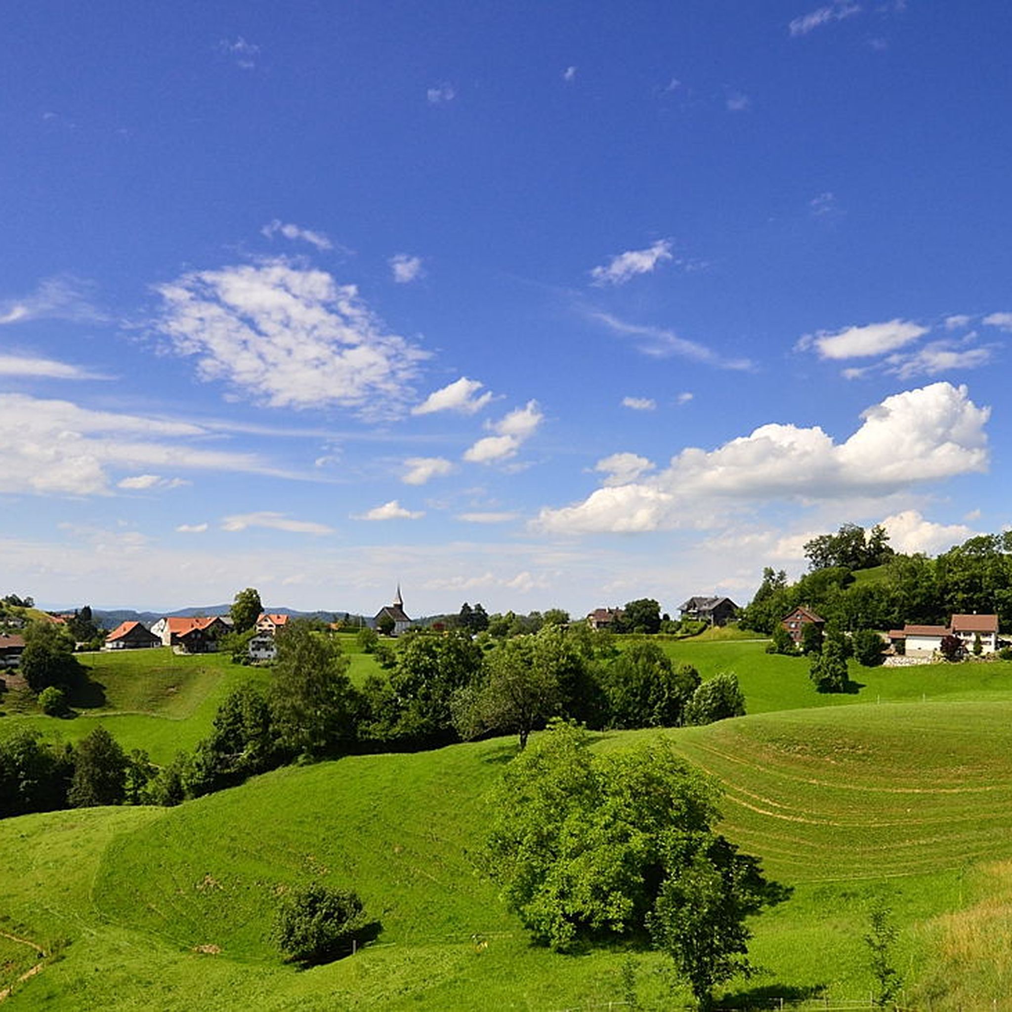
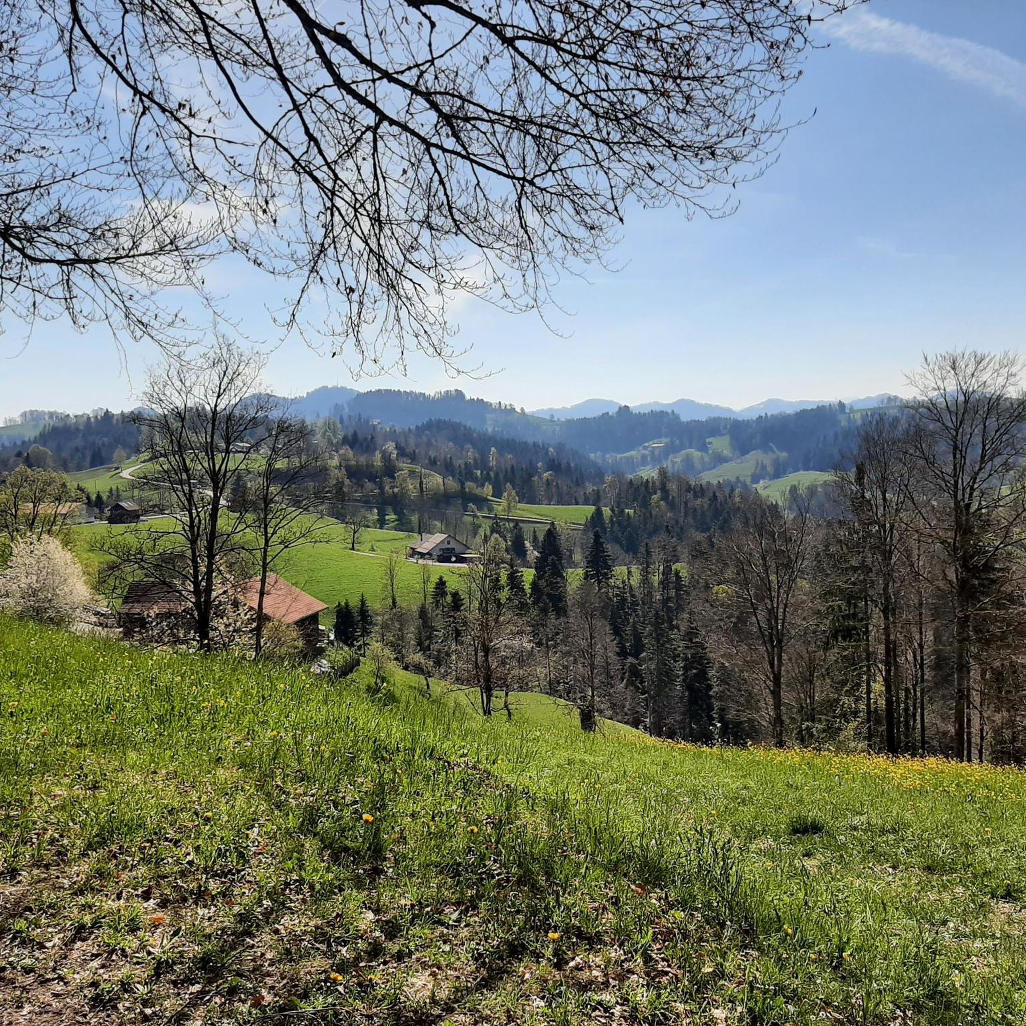
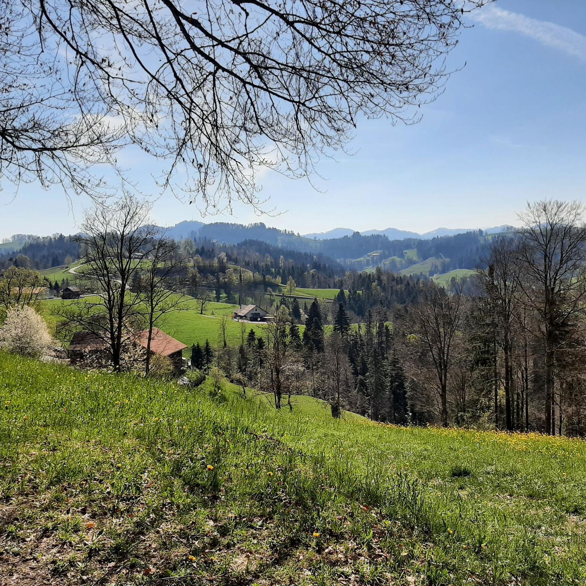
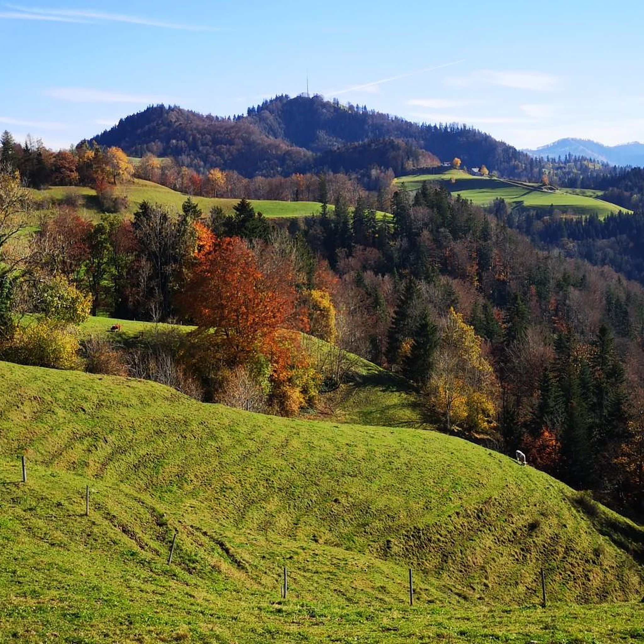
Road cycling routes around Sternenberg benefit from the region's elevated location, situated at almost 900 meters above sea level. The terrain features a mix of thick forests, wild ravines, and significant elevation gains, providing varied riding experiences. Cyclists can expect paved surfaces suitable for road bikes, with routes offering both challenging climbs and more moderate sections. The area also provides panoramic views from several viewpoints, enhancing the cycling experience.
Best road cycling routes around Sternenberg
- The most popular road cycling route is Historic Station Hall Bauma – Lake Pfäffikon loop from Steg, a 23.1 miles (37.2 km) trail that takes 1 hour 40 minutes to complete. This moderate route features notable elevation changes.
- Another top favourite among local road cyclists is Lake Bichel – Bike path along the Töss loop from Neuthal, a moderate 34.5 miles (55.5 km) path. This route offers diverse scenery, including forests and open landscapes.
- Local road cyclists also love the Töss Bridge – Bike path along the Töss loop from Neuthal, a 15.4 miles (24.8 km) trail leading through varied terrain, often completed in about 1 hour 4 minutes.
- Road cycling around Sternenberg is defined by thick forests, wild ravines, and panoramic viewpoints. The network offers options for different ability levels, from easier rides to routes with significant elevation gains.
- The routes in Sternenberg are highly rated by the komoot community with an average score of 4.3 stars from over 280 reviews. More than 4000 road cyclists have used komoot to explore Sternenberg's varied terrain.
Last updated: July 4, 2026
4.5
(6)
96
riders
37.2km
01:40
360m
360m
Moderate road ride. Good fitness required. Mostly well-paved surfaces and easy to ride.
4.3
(3)
39
riders
24.7km
01:03
170m
170m
Easy road ride. Great for any fitness level. Mostly well-paved surfaces and easy to ride.

Sign up for free
20
riders
52.6km
02:26
540m
540m
Moderate road ride. Good fitness required. Mostly well-paved surfaces and easy to ride.
40
riders
13.7km
00:39
150m
150m
Easy road ride. Great for any fitness level. Mostly well-paved surfaces and easy to ride.
5.0
(1)
19
riders
55.4km
02:32
550m
550m
Moderate road ride. Good fitness required. Mostly well-paved surfaces and easy to ride.
Get access to more routes and recommendations from other explorers.
Sign up for free
Already have an account?
Our route recommendations are based on thousands of hikes, rides, and runs completed by other people on komoot.
Start today with a free account
Your next adventure awaits.
Login or Signup

Tips from the Community


Highly recommended route
0
0

Idyllic lake near Wetzikon, large parts of the shore are protected.
0
0

Short climb with a nice descent where you can ride well and fast.
1
0

Ideal for families. Well-developed, beautiful area. Unless the Töss River isn't carrying water, in which case it's simply a fun place for children to play.
1
0

Beautiful cycle path between Bichelsee and Itaslen
0
0
Wonderful descent from Seelmatten to Turbenthal in beautiful scenery, where you can just let yourself roll and enjoy.
0
0

Very nice view from up here
0
0
Frequently Asked Questions
How many road cycling routes are available around Sternenberg?
Sternenberg offers a wide selection of road cycling routes, with over 80 different tours available. These routes cater to various fitness levels, from easy rides to more challenging climbs.
What kind of terrain can I expect on road cycling routes in Sternenberg?
The terrain around Sternenberg is diverse, featuring a mix of thick forests, wild ravines, and significant elevation gains. As the highest municipality in the Canton of Zurich, you can expect challenging climbs and rewarding descents, all on paved surfaces suitable for road bikes.
Are there easy road cycling routes for beginners in Sternenberg?
Yes, Sternenberg offers routes suitable for beginners. For example, the Töss Bridge – Bike path along the Töss loop from Neuthal is an easy 15.4-mile (24.8 km) route. Another accessible option is the Bischard Bakery – Drinking Water Fountain loop from Ruine Tannegg, which is 8.5 miles (13.7 km) long.
What are some challenging road cycling routes in Sternenberg?
For those seeking a challenge, Sternenberg's elevated location provides routes with significant elevation gains. While specific 'difficult' routes are available, many moderate routes, like the Lake Bichel – Bike path along the Töss loop from Neuthal (34.5 miles / 55.5 km with over 547m elevation gain), offer a substantial workout. The region is known for rides that can involve up to 1,500 feet of elevation gain.
What natural features and viewpoints can I see along the road cycling routes?
Sternenberg is rich in natural beauty and offers breathtaking panoramic views. You can encounter wild ravines and waterfalls, such as the Hutziker Tobel Waterfalls or Giessenfall Waterfall. The region also boasts several viewpoints like the 'View of the Zurich Uplands' and 'Sternenberg Viewpoint,' providing rewarding stops during your ride. The Alp Scheidegg is another notable viewpoint.
Are there any circular road cycling routes in Sternenberg?
Yes, many road cycling routes around Sternenberg are designed as loops, allowing you to start and end at the same point. An example is the Historic Station Hall Bauma – Lake Pfäffikon loop from Steg, a moderate 23.1-mile (37.2 km) route.
What is the best time of year for road cycling in Sternenberg?
The best time for road cycling in Sternenberg is typically during the warmer months when the weather is stable and roads are clear. The region's elevated position means it can experience different conditions than lower areas. Always check local weather forecasts before heading out, especially for routes with significant elevation.
What do other road cyclists enjoy most about Sternenberg?
The komoot community highly rates road cycling in Sternenberg, with an average score of 4.3 stars from over 280 reviews. Cyclists often praise the diverse scenery, which includes thick forests and open landscapes, the challenging climbs, and the stunning panoramic views from various viewpoints. The tranquil environment is also frequently highlighted as a major draw.
Are there any long-distance road cycling routes near Sternenberg?
While Sternenberg offers many routes of varying lengths, you can find longer options that explore the broader region. For instance, the Lake Bichel – Bike path along the Töss loop from Neuthal covers 34.5 miles (55.5 km), offering a substantial ride through diverse scenery.
Are there places to eat or stay along the road cycling routes in Sternenberg?
Sternenberg and its surrounding areas offer various amenities for cyclists. While specific cafes or accommodations directly on every route are not listed, the region has options like the Schindelberg Mountain Inn or the Schnurrberg Alpine Farm & Fuster Farm Shop, which can serve as good stops for refreshments or a meal.
Is public transport available to access road cycling trails in Sternenberg?
Sternenberg is part of the Bauma municipality, and public transport options are available to reach the area. While specific trailheads might require a short ride from a public transport stop, you can plan your journey to access the starting points of various routes. It's advisable to check local public transport schedules for the most convenient access points.
What is the typical duration for road cycling routes in Sternenberg?
The duration of road cycling routes in Sternenberg varies significantly based on distance, elevation, and your pace. Shorter, easy routes like the Töss Bridge – Bike path along the Töss loop from Neuthal can be completed in about 1 hour 4 minutes. Longer, moderate routes, such as the Historic Station Hall Bauma – Lake Pfäffikon loop from Steg, typically take around 1 hour 40 minutes.
Most popular routes around Sternenberg
Most popular attractions around Sternenberg

Get inspired with the komoot mobile app


Explore more
Browse the best Road cycling routes in other regions.
