The best mountain hikes around Vaals
4.9
(6)
15
hikers
12
hikes
Mountaineering routes around Vaals traverse a unique hilly landscape at the southernmost tip of the Netherlands. The region is characterized by rolling hills, lush forests like the Vijlenerbos, and the prominent Vaalserberg, the highest point in the continental Netherlands. These routes offer significant elevation gains, providing strenuous experiences often referred to as mountain hiking in a Dutch context. The area also features the Drielandenpunt, where the borders of three countries converge.
Best mountaineering routes around Vaals
- The most popular mountaineering…
Last updated: October 4, 2026
4.7
(3)
3
hikers
10.5km
02:53
170m
170m
Moderate mountaineering route. Good fitness required. Easily-accessible paths. Suitable for all skill levels.
2
hikers
14.8km
04:05
250m
250m
Moderate mountaineering route. Good fitness required. Easily-accessible paths. Suitable for all skill levels.

5.0
(2)
4
hikers
15.9km
04:27
300m
300m
Moderate mountaineering route. Good fitness required. Easily-accessible paths. Suitable for all skill levels.
1
hikers
Easy mountaineering route. Great for any fitness level. Easily-accessible paths. Suitable for all skill levels.
19.3km
05:19
310m
310m
Hard mountaineering route. Very good fitness required. Mostly accessible paths. Sure-footedness required.
Get access to more routes and recommendations from other explorers.
Already have an account?
Our route recommendations are based on thousands of hikes, rides, and runs completed by other people on komoot.
Start today with a free account
Your next adventure awaits.
Popular around Vaals
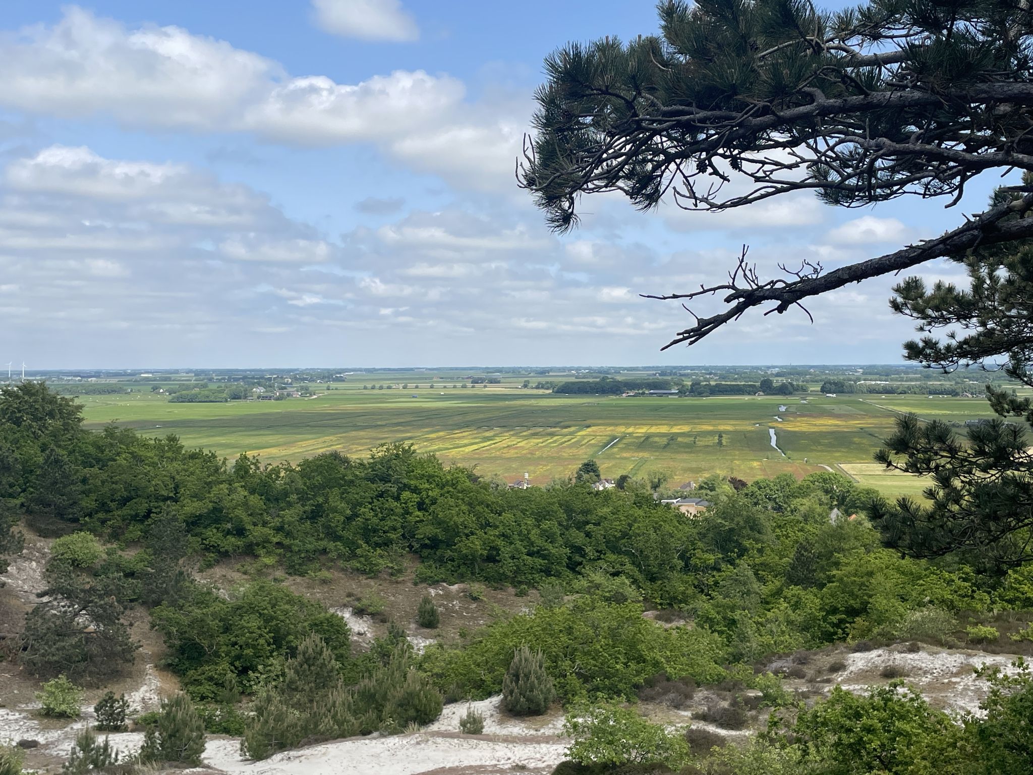
The peaks of the Low Countries — calf-biters in every province
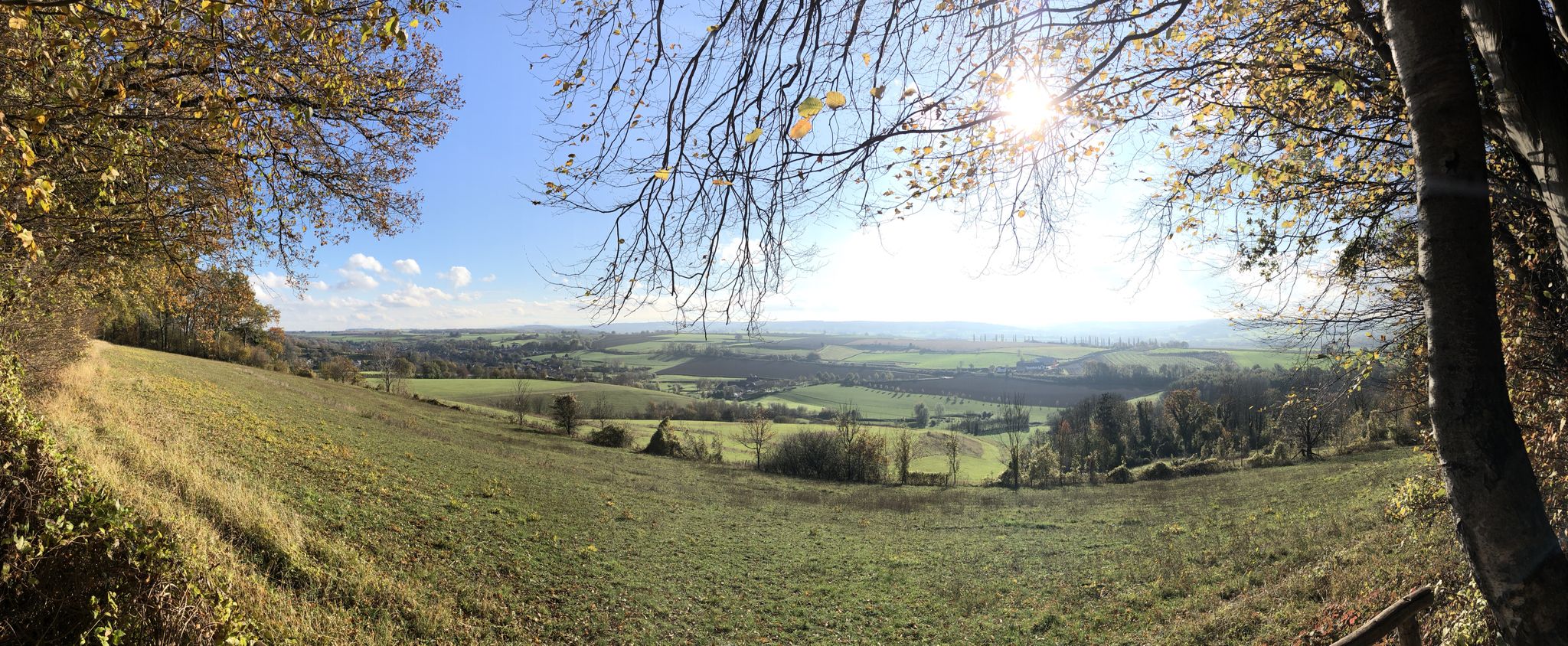
A merry multi-day hike – Limburg Pubs Route
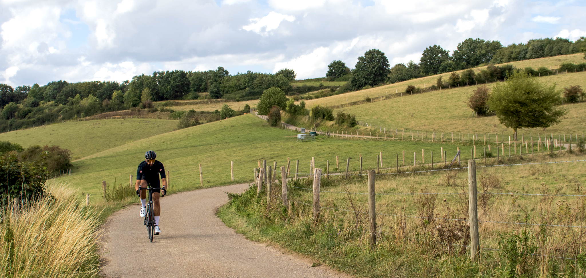
Cross-border cycling in South Limburg – the alternative routes
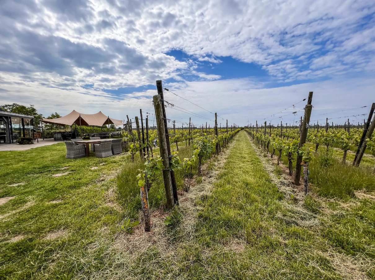
Hike and wine – walking through vineyards in the Netherlands
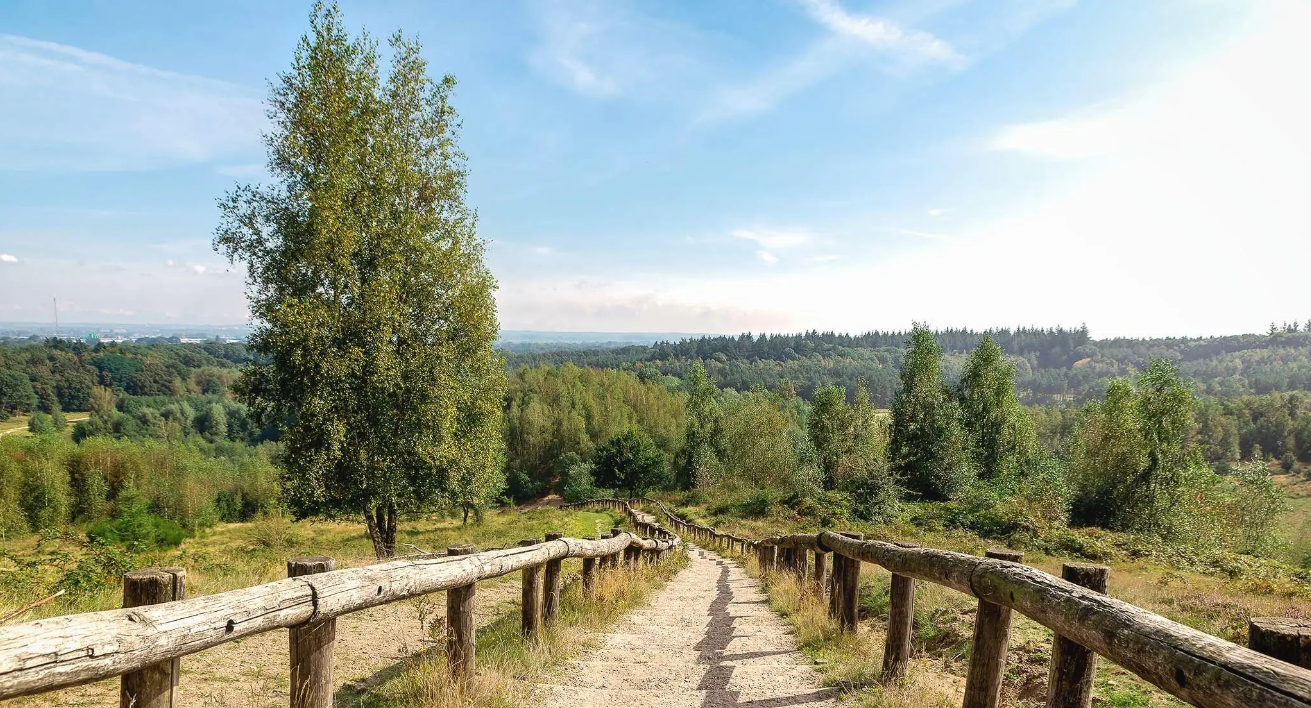
For hill seekers: The best trail runs in the Netherlands
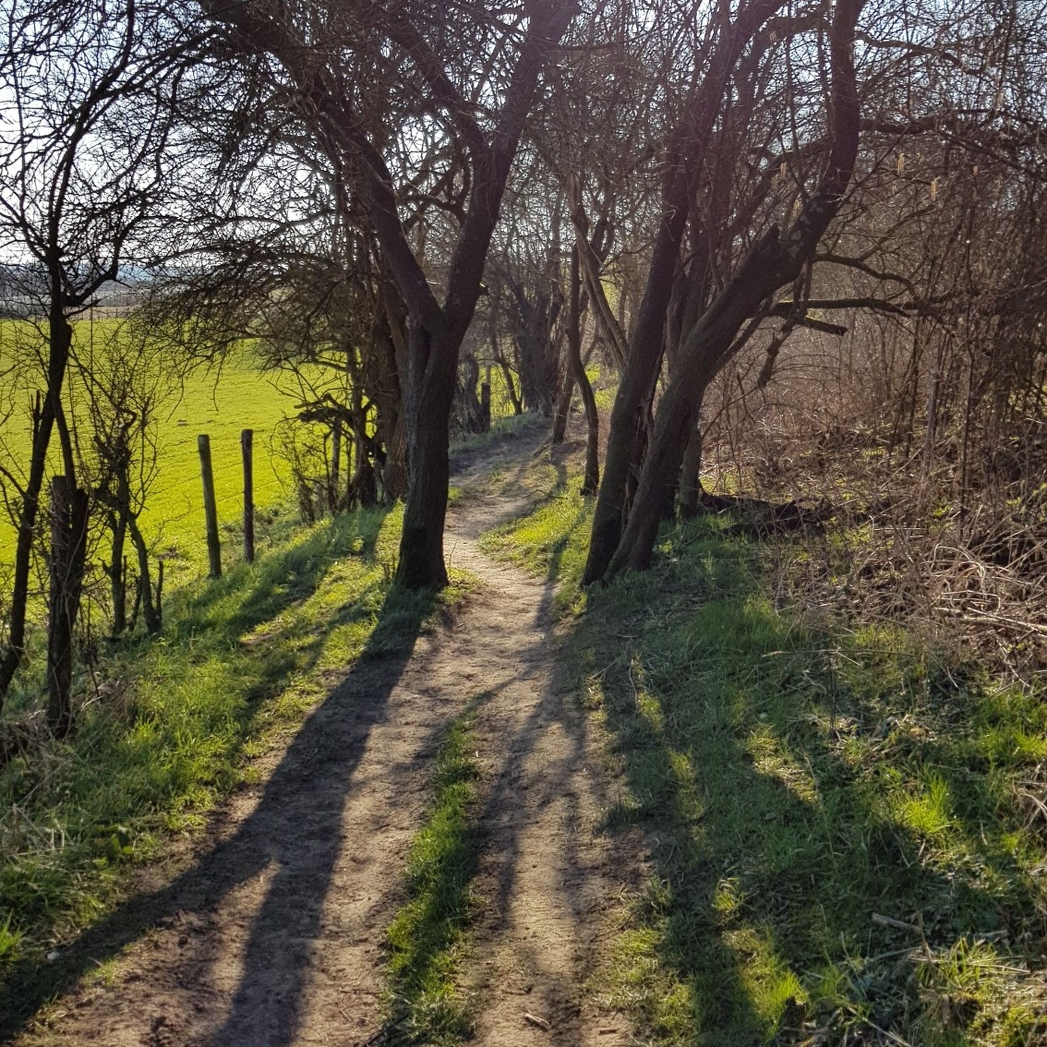
Hiking around Vaals
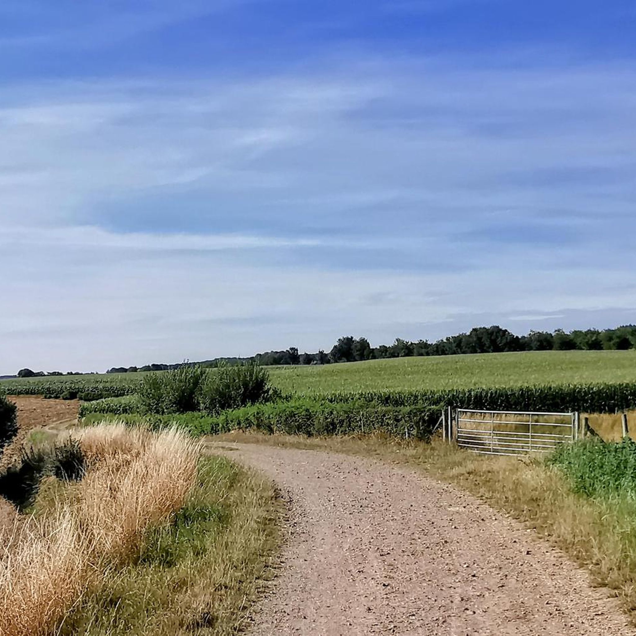
Road Cycling Routes around Vaals
Running Trails around Vaals
Cycling around Vaals
MTB Trails around Vaals


Tips from the Community

As early as 1834, a mission cross was placed on the Gulperberg and processions were held here annually. In 1935, the Maria monument was erected on the hilltop. The monument as a whole is approximately 13 meters high. The pedestal is 10 meters high and was designed by sculptor-architect Piet Gerrits. The square base is decorated on all sides with wide cross-shaped mosaics depicting the role of Mary in salvation history. On top of the pedestal, a statue of the crowned Virgin Mary is placed. Mary (without the child Jesus) spreads her hands in a blessing gesture. The approximately 3-meter-high statue of white concrete is a design by the Maastricht sculptor Charles Vos.
4
0
The Gulperberg is the northernmost spur of the Crapoel plateau and, at 157m, offers a magnificent, almost 360° view over the Geuldal in the east and the Gulpdal in the west. The two rivers meet in Gulpen.
4
0

In the past, people came here to work, nowadays to relax and enjoy. The past wasn't always better. 😉
4
0

A steep climb leads up the mountain. The view makes up for it.
1
0
A steep climb leads up the mountain. The view makes up for it.
1
0


The rock formations historically originate from the Meno valley and are approx. 2 million years old
4
0

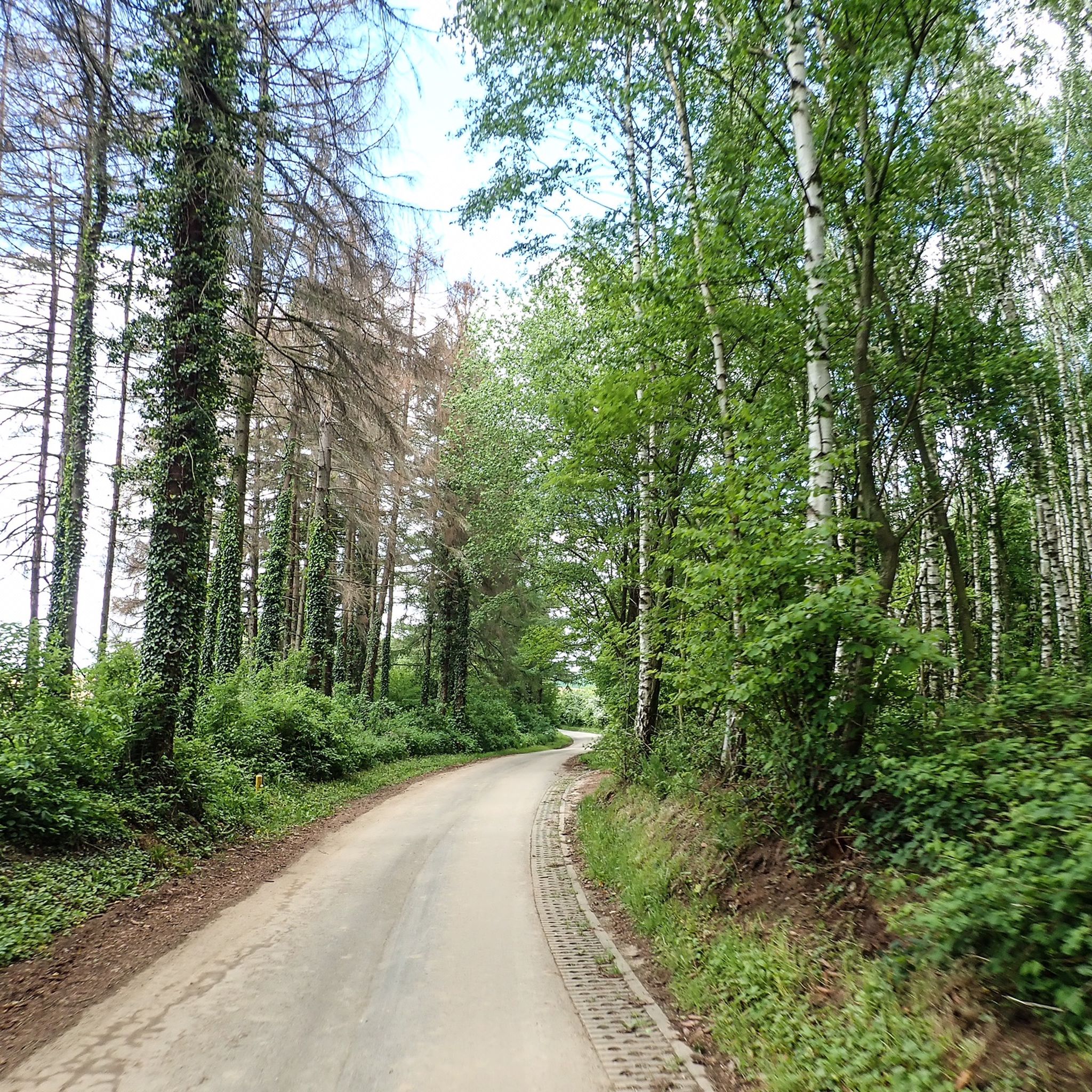
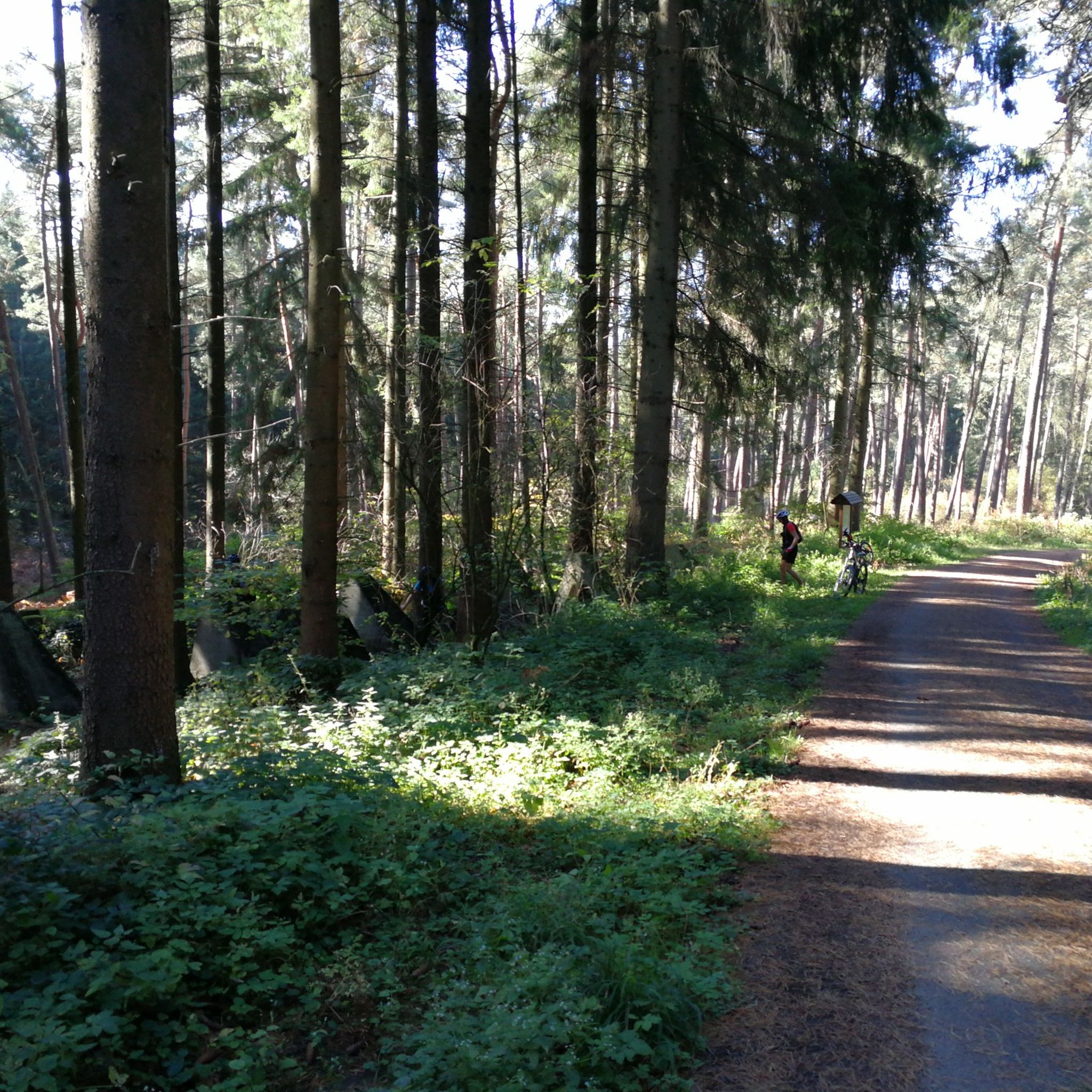
This forest path winds through the heart of the Vijlenerbos, one of the most beautiful and quietest places in South Limburg.
0
0
Frequently Asked Questions
How many mountaineering routes are available around Vaals?
There are over 10 distinct mountaineering routes around Vaals, offering a variety of experiences through the region's unique hilly landscape. These routes cater to different fitness levels, from easy strolls to more challenging climbs.
What is the typical terrain and difficulty level for mountaineering in Vaals?
Mountaineering routes in Vaals traverse a surprisingly hilly landscape, characterized by rolling hills and lush forests like the Vijlenerbos. While not high-altitude mountaineering, the trails offer significant elevation gains, providing strenuous experiences. You'll find routes ranging from easy, such as the Streversdorp Castle loop from Henri-Chapelle, to difficult, like the View of Vaals – Forest Café 't Hijgend Hert loop from Vaals, which involves over 300 meters of ascent.
Are there any family-friendly mountaineering routes in Vaals?
Yes, Vaals offers several easier routes suitable for families. For instance, the Streversdorp Castle (Graaf) – View of Montzen loop from Henri-Chapelle is classified as easy, covering about 6.8 kilometers with moderate elevation changes, making it a good option for a family outing.
What notable landmarks or viewpoints can I expect to see along the routes?
Many routes offer scenic viewpoints and pass by interesting landmarks. A prominent feature is the Drielandenpunt (Three-Country Point) on the Vaalserberg, where the borders of the Netherlands, Belgium, and Germany meet. You can also find historical sites like Schaloen Castle or explore natural formations such as the Mine entrance and Geul sinkhole in the Plombières Nature Reserve.
Are there any circular mountaineering routes around Vaals?
Absolutely. Many of the mountaineering routes in Vaals are designed as loops, allowing you to start and end at the same point. An example is the The Geul River and Surroundings – View of Vijlen loop from Epen, which offers a moderate 15.9 km circular journey through diverse landscapes.
What is the best time of year to go mountaineering in Vaals?
The region is beautiful year-round, but spring and autumn offer particularly pleasant conditions with mild temperatures and vibrant foliage. Summer is also popular, though trails can be busier. Winter mountaineering is possible, but some paths might be muddy or icy, requiring appropriate gear.
Where can I find parking or access routes via public transport?
Many trailheads, especially around the Drielandenpunt and in towns like Vaals, offer parking facilities. For public transport, local bus services connect Vaals with surrounding towns, providing access points to various routes. It's advisable to check specific route starting points for detailed parking and public transport information.
Are there cafes or places to eat near the mountaineering trails?
Yes, especially around popular areas like the Drielandenpunt, you'll find cafes serving local treats like Limburgse vlaai. The View of Vaals – Forest Café 't Hijgend Hert loop from Vaals even passes by a forest café, offering a convenient stop during your hike. Many villages along the routes also have local eateries.
What do other mountaineers enjoy most about the routes in Vaals?
The mountaineering routes in Vaals are highly rated by the komoot community, with an average score of 4.8 stars. Reviewers often praise the 'un-Dutchly beautiful' landscape, the challenging yet rewarding elevation gains, and the unique experience of visiting the Drielandenpunt. The varied terrain, from dense woodlands to open fields, also receives positive feedback.
Can I bring my dog on the mountaineering routes?
Generally, dogs are welcome on most public hiking trails in the Vaals region, provided they are kept on a leash, especially in nature reserves or areas with livestock. Always check local signage for specific rules regarding pets on individual routes or within certain protected areas.
Are there any less crowded mountaineering options in Vaals?
While popular spots like the Drielandenpunt can attract crowds, many routes, especially those extending further into the Vijlenerbos or along the Geul River, offer a more tranquil experience. Exploring routes during off-peak hours or weekdays can also help you find more solitude.
What is the Vaalserberg and how can I reach it?
The Vaalserberg is the highest point in the continental Netherlands, standing at 322.4 meters. It's a central feature of the region's mountaineering. Many routes lead up to and around it, including the Göhl Tunnel – Vaalserberg Three-Country Point loop from Plombières, which specifically explores this area and the Drielandenpunt.
Most popular attractions around Vaals

Get inspired with the komoot mobile app


Explore more
Browse the best Mountain Hikes & Routes in other regions.
