The best walks and hikes around Voerendaal
4.3
(1508)
5,967
hikers
166
hikes
Hiking around Voerendaal offers exploration of a green and undulating landscape, often referred to as the "green lung of Parkstad." The region features a diverse terrain of green fields, hollow roads, and characteristic village centers, providing panoramic views from its plateau. Its chalk-rich soil supports a unique ecosystem with fruit orchards, vineyards, and orchid meadows. Meandering water in brook valleys and protected nature areas further define the natural environment.
Best hiking trails around Voerendaal
- The most popular hiking route is…
Last updated: July 4, 2026
4.3
(40)
250
hikers
Moderate hike. Good fitness required. Easily-accessible paths. Suitable for all skill levels.
4.5
(61)
250
hikers
Moderate hike. Good fitness required. Easily-accessible paths. Suitable for all skill levels.

Sign up for free
4.6
(75)
207
hikers
12.4km
03:22
180m
180m
Moderate hike. Good fitness required. Easily-accessible paths. Suitable for all skill levels.
4.4
(59)
181
hikers
7.95km
02:03
30m
30m
Moderate hike. Good fitness required. Easily-accessible paths. Suitable for all skill levels.
4.7
(66)
192
hikers
Moderate hike. Good fitness required. Easily-accessible paths. Suitable for all skill levels.
Get access to more routes and recommendations from other explorers.
Sign up for free
Already have an account?
Our route recommendations are based on thousands of hikes, rides, and runs completed by other people on komoot.
Start today with a free account
Your next adventure awaits.
Login or Signup
Popular around Voerendaal
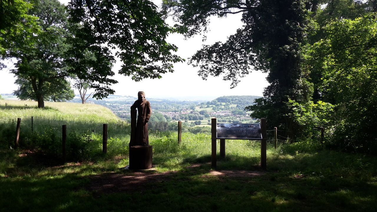
Via Coriovallum – a pilgrimage in the Dutch region of South Limburg
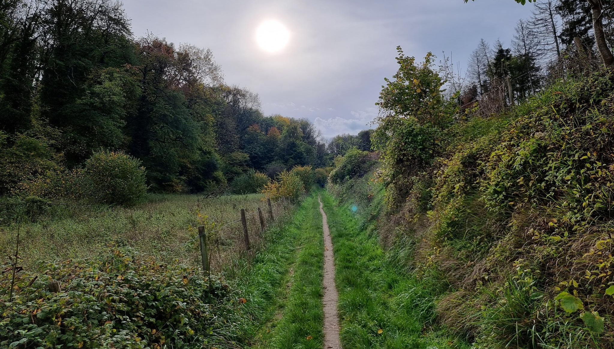
The Limburg200 MTB Ultra – A real Mountainbike Challenge
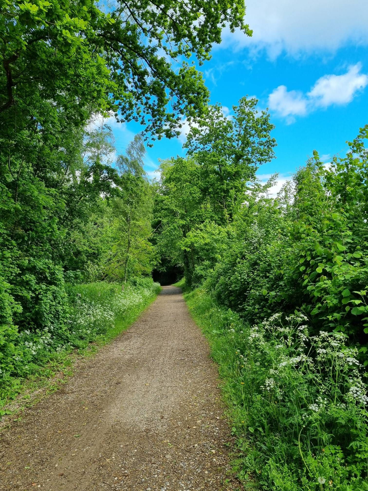
Landscape in transition – international cycling on the Green Route
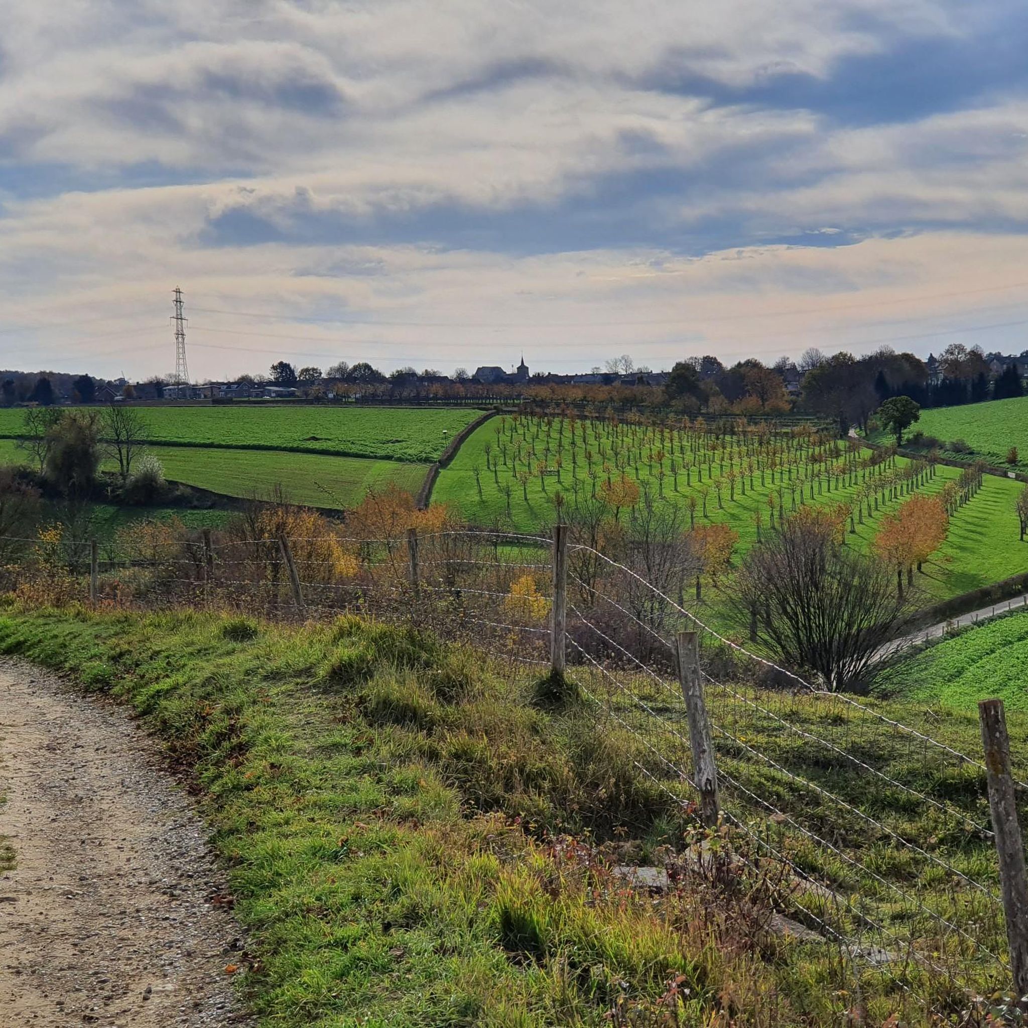
Running Trails around Voerendaal
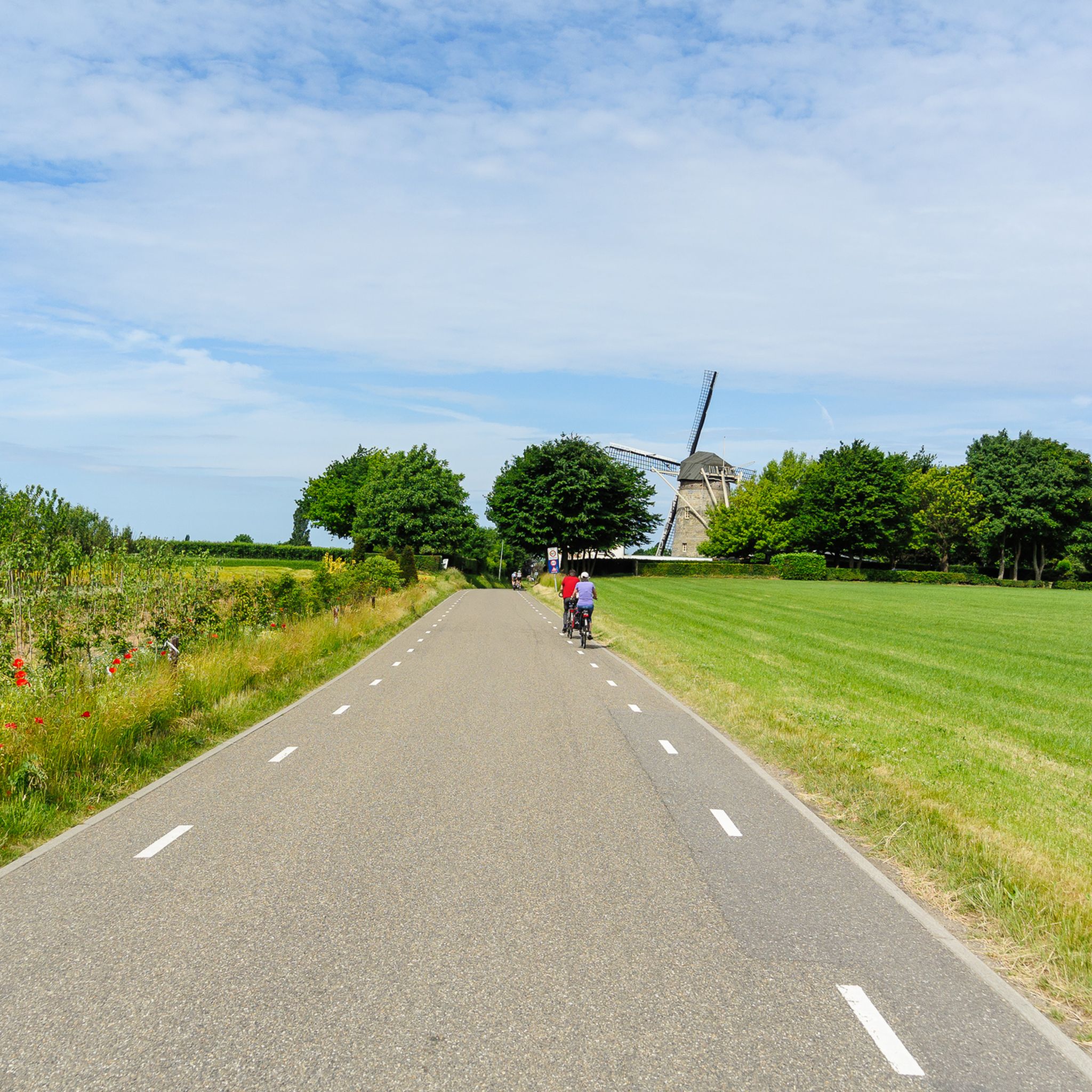
Road Cycling Routes around Voerendaal
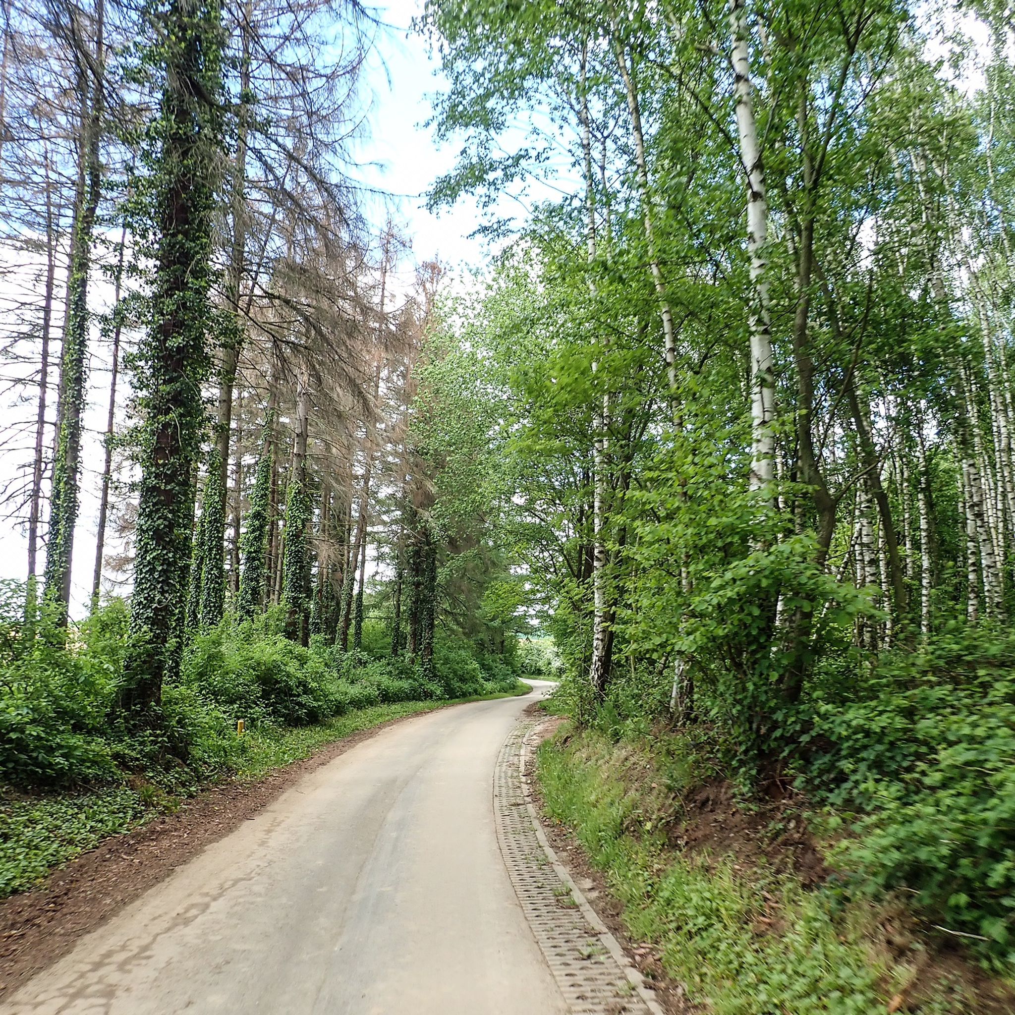
Cycling around Voerendaal
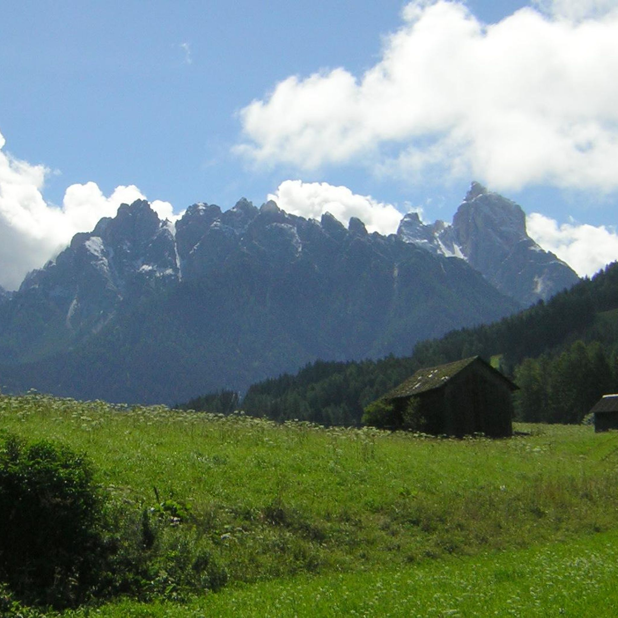
Gravel biking around Voerendaal
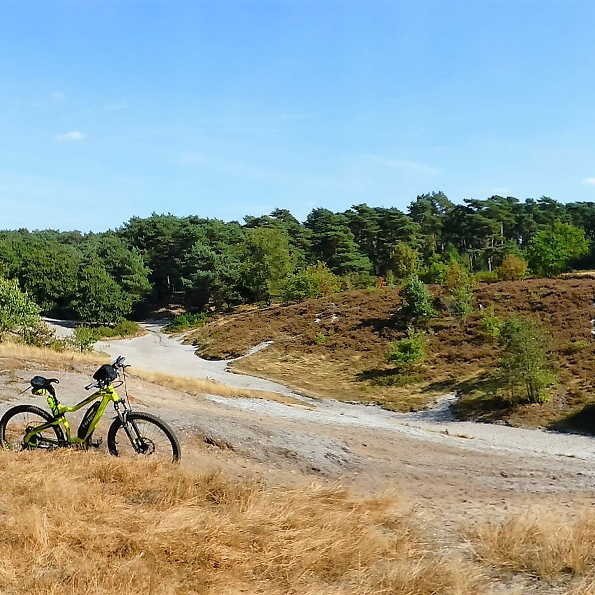
MTB Trails around Voerendaal

Mountain Hikes around Voerendaal
Other adventures around Voerendaal


Tips from the Community

This mill, at 216m above sea level, is the highest in the Netherlands
0
0

Here in the Geul valley and on the Oostergats near the Schaelsberg forest and along the Geul river, coming from Valkenburg, you reach Schaloen Castle and Genhoes, crossing a bridge along the way. You will also pass the Three Statues, a religious shrine.
0
0

Some of the most beautiful vistas in South Limburg unfold on the Schaelsberg. From the higher paths, you can look out over the Geuldal Valley, the surrounding forests, and the charming villages nestled among the hills. This landscape has its own unique atmosphere in every season: from fresh green spring hues to warm autumn colors and misty mornings.
0
0
Schaloen Castle is idyllically situated on the banks of the Geul River, surrounded by ancient trees and a moat that reflects the river. The current castle dates from the 17th century, but its origins date back to the Middle Ages. The white walls, the turret, and the bridge over the water give it a fairytale-like feel. It's a short walk from the nearby village of Oud-Valkenburg—a quiet path along the Geul leads straight into this picturesque corner of Limburg.
0
0


The Geul is a river of approximately 58 km that rises in Germany and flows into the Maas at Meerssen. It flows meandering through South Limburg along places such as Valkenburg, Gulpen and Schin op Geul. The river is known for its natural beauty, biodiversity and hiking trails, but also for zinc pollution from former mining. During heavy rainfall, the Geul can quickly overflow its banks.
5
0

Lots of ticks due to unmaintained paths...:(
0
0
Frequently Asked Questions
How many hiking trails are available around Voerendaal?
There are over 150 hiking trails around Voerendaal, offering a wide range of options for all skill levels. The komoot community has explored more than 5500 of these routes, highlighting the area's popularity among outdoor enthusiasts.
What kind of terrain and difficulty levels can I expect on hikes in Voerendaal?
Voerendaal is known for its undulating landscape, often referred to as the 'green lung of Parkstad.' You'll find a mix of green fields, hollow roads, and characteristic village centers. The trails range from easy to moderate, with over 100 easy routes and 55 moderate routes. There are also a few more challenging options for experienced hikers. The chalk-rich soil contributes to unique flora and fauna, adding to the scenic variety.
Are there any easy hiking routes suitable for beginners or a relaxed walk?
Yes, Voerendaal offers over 100 easy hiking routes. A great option for a relaxed walk is the View of Kunraderberg – Kunderberg Nature Reserve loop from Kunderberg. This easy 4.2-mile (6.8 km) trail takes you through the Kunderberg Nature Reserve, offering pleasant views and a chance to experience the region's distinctive chalk landscape.
What are some notable landmarks or attractions I can see along the hiking trails?
Voerendaal's trails often lead past fascinating landmarks. You can explore historic castles like Schaloen Castle, which adds a historical dimension to your hike. The region is also home to the unique Epen Fulling Mill, a renovated historic monument. Many routes offer views of the Kunraderberg and the distinctive Kunradersteen quarry, showcasing the local geological history.
Are there any circular walks available in Voerendaal?
Yes, many of the hiking routes in Voerendaal are circular, allowing you to start and end at the same point. For example, the Schaloen Castle – Oostervoetpad along the Geul loop from Klimmen is a moderate 7.8-mile (12.5 km) circular trail that takes you past historic sites and along the Geul river.
What do other hikers enjoy most about hiking in Voerendaal?
The area is highly rated by the komoot community, with an average score of 4.3 stars from over 1200 reviews. Hikers frequently praise the diverse and picturesque landscapes, the fantastic panoramic views from the plateau, and the unique mix of green fields, hollow roads, and charming village centers. The presence of historic castles and vineyards also adds to the enriching experience.
Are there any long-distance hiking options around Voerendaal?
While many routes are suitable for day trips, you can combine trails for longer adventures. A good starting point for a longer moderate hike is the Op de Vrouweheide Windmill – Mill on the Vrouweheide loop from Op de Vrouweheide, which is 7.3 miles (11.7 km) long and offers expansive views. You can often extend these routes by connecting to other paths in the extensive network.
Can I find places to stop for refreshments or a meal along the trails?
Yes, the region offers charming spots for refreshments. A notable stop is the Forest Café 't Hijgend Hert, situated within the Vijlener Forests. Described as the only mountain hut in the Netherlands, it provides a welcoming break amidst the hilly South Limburg landscape and is often part of various walking routes.
What is the best time of year to go hiking in Voerendaal?
Voerendaal is beautiful year-round, but spring and autumn are particularly popular. In spring, the chalk-rich soil nurtures vibrant orchid meadows and fruit orchards in bloom. Autumn offers stunning foliage across the undulating landscape and vineyards. Summer is also pleasant, with lush green fields, while winter can provide a serene, crisp hiking experience, especially on the plateau with its panoramic views.
Are there any specific viewpoints or scenic spots I should look for?
Absolutely! The plateau of Voerendaal offers fantastic panoramic views across the 'green lung of Parkstad' and the Heuvelland (hill country). Many routes, such as the Op de Vrouweheide Windmill – View of Kunraderberg loop from Op de Vrouweheide, specifically highlight scenic vistas like the Kunraderberg. The presence of vineyards also adds to the picturesque scenery.
Is Voerendaal well-connected by public transport for hikers?
Voerendaal is part of the well-developed infrastructure of South Limburg. While specific trailheads might require a short walk from public transport stops, the region generally offers good connections. For detailed public transport information to specific starting points, it's advisable to check local transport schedules.
Are there any specific historical sites or Roman heritage to explore?
Yes, Voerendaal has a rich history, including Roman heritage. Excavations of the largest Roman villa farm in the Netherlands underscore the deep historical roots of the area. While specific hiking routes might not directly lead through these excavation sites, the cultural significance is present throughout the region, adding a layer of interest to your exploration.
Most popular routes around Voerendaal
Most popular attractions around Voerendaal

Get inspired with the komoot mobile app


Explore more
Browse the best Hikes in other regions.
