The best road cycling routes around Farrantemple Glebe
24
riders
4
rides
Road cycling routes around Farrantemple Glebe traverse a region characterized by rolling countryside and verdant hillsides. The landscape features river valleys, such as those carved by the Faughan River, and offers views extending towards the North Coast. Cyclists can encounter diverse terrain, from moderate paths to routes with significant elevation gains in areas like the Sperrin Mountains.
Best road cycling routes around Farrantemple Glebe
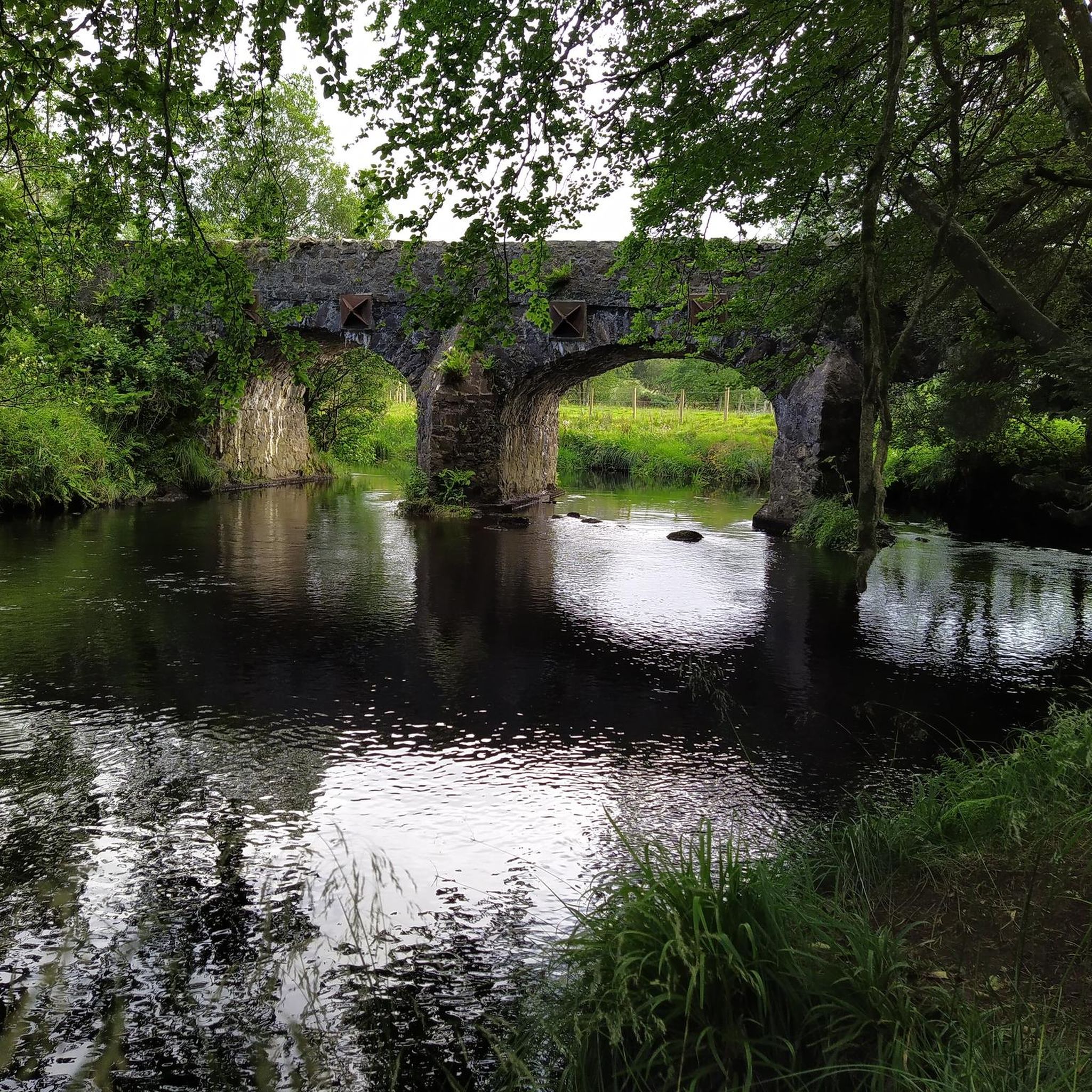
- The most popular road cycling route is St Lurach's Church Ruins – Bench Under a Large…
Last updated: July 12, 2026
9
riders
53.9km
02:20
430m
430m
Moderate road ride. Good fitness required. Mostly well-paved surfaces and easy to ride.
4
riders
34.8km
01:29
260m
260m
Easy road ride. Great for any fitness level. Mostly well-paved surfaces and easy to ride.

Sign up for free
3
riders
45.8km
02:02
370m
370m
Moderate road ride. Good fitness required. Some segments of this route may be unpaved and difficult to ride.
3
riders
26.4km
01:16
230m
230m
Moderate road ride. Great for any fitness level. Some segments of this route may be unpaved and difficult to ride.
1
riders
32.1km
01:31
210m
210m
Moderate road ride. Great for any fitness level. Some segments of this route may be unpaved and difficult to ride.
Our route recommendations are based on thousands of hikes, rides, and runs completed by other people on komoot.
Start today with a free account
Your next adventure awaits.
Login or Signup
Popular around Farrantemple Glebe
Tips from the Community

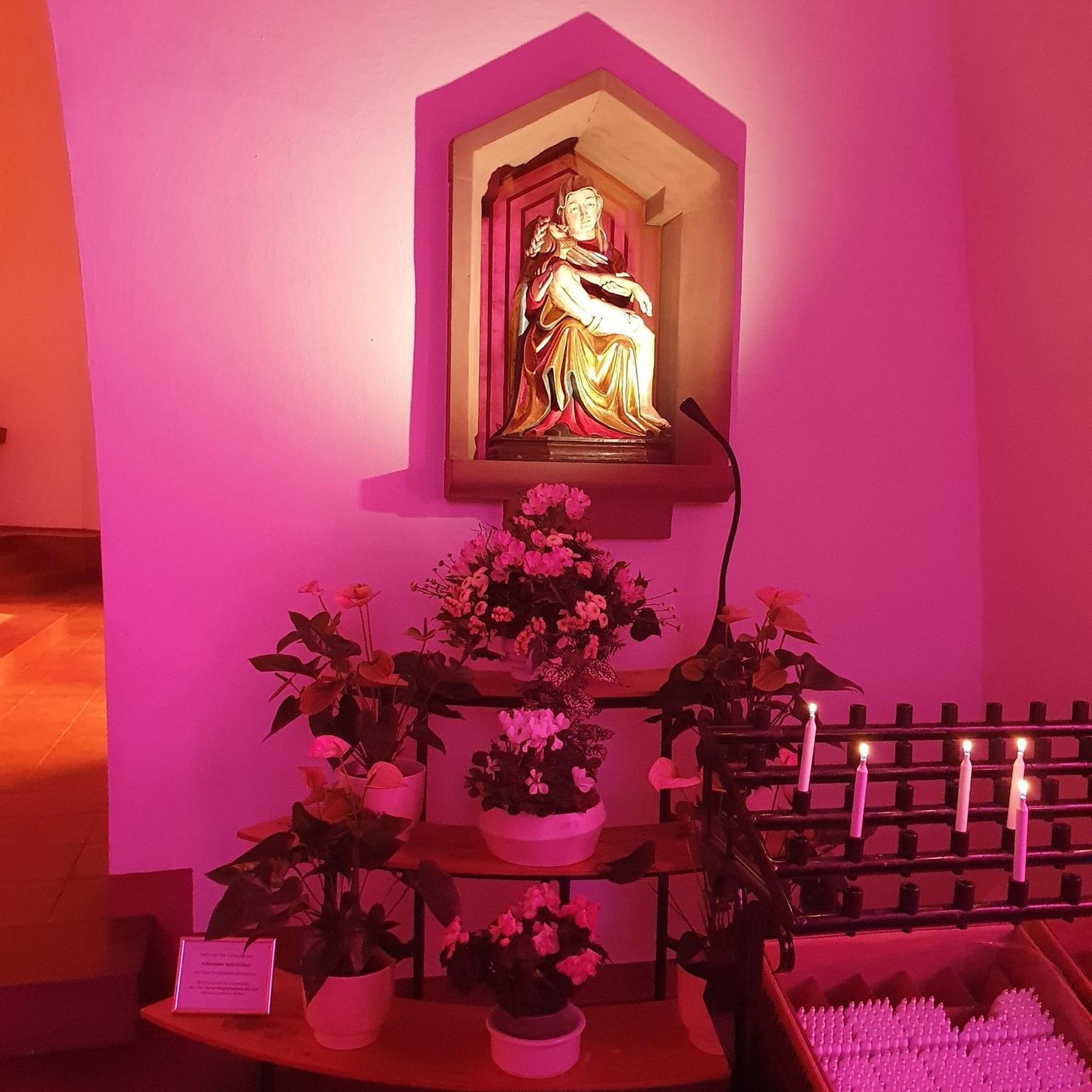
Contained within the ruins is a sculpture of the crucifixion, which is thought to date from the 10th Century, making it one of the oldest in Ireland. St Lurach founded an important church here in the 6th century. It was plundered by Vikings in 832 and burned in 1135. Following the 12th-century ecclesiastical reforms this was the seat of a bishop from the mid 12th to the mid 13th century, then served as parish church until the new church across the road was built in the early 19th century. This long history is reflected in the much patched and altered fabric, and the big uneven graveyard.
0
0


It's quite an unusual experience stumbling into a pyramid in the middle of an Irish forest! This pyramid was built in the 19th century as a burial chamber for Lord Garvagh and is a lovelly feature to the forest today.
2
0

If there's a good bench out in the wild then it's always a good idea to take a rest. You never know when you'll fund another bench.
1
0

Frequently Asked Questions
What kind of terrain can I expect on road cycling routes around Farrantemple Glebe?
The region around Farrantemple Glebe is characterized by rolling countryside and verdant hillsides. You'll encounter diverse terrain, from moderate paths through river valleys like the Faughan River to routes with significant elevation gains, particularly as you approach areas like the Sperrin Mountains. Coastal sections, such as those near Binevenagh, also offer varied challenges and spectacular views.
Are there any easy road cycling routes suitable for beginners or a relaxed ride?
Yes, there are options for easier rides. For instance, the St Lurach's Church Ruins loop from Pollan Burn is an easy 21.6-mile (34.7 km) path that provides an accessible way to explore the area's natural features without significant climbs.
What are some of the most scenic natural features I can see while cycling in the area?
Road cycling routes often traverse scenic landscapes including ancient woodlands, river valleys like the Faughan and Foyle, and offer views towards the North Coast. Notable natural features include the dramatic cliffs and artificial lake at Binevenagh, the unique kettle-holes of Lough Enagh, and the wooded river valley of Banagher Glen. Ness Country Park is also home to Northern Ireland's highest waterfall.
Are there any challenging road cycling routes with significant elevation gain?
Yes, for those seeking a challenge, routes extending towards the Sperrin Mountains or coastal areas like Binevenagh will offer significant elevation gains and panoramic views. The St Lurach's Church Ruins – Bench Under a Large Tree loop from Pollan Burn, for example, includes over 420 meters of ascent over its 33.5-mile distance.
Are there any circular road cycling routes available?
Many of the routes around Farrantemple Glebe are designed as loops, allowing you to start and finish at the same point. Examples include the Garvagh Pyramid – Garvagh Forest Trails loop from Pollan Burn and the Garvagh Pyramid – Garvagh Forest Trails loop from Agivey, which offer varied distances and experiences.
What is the best time of year for road cycling around Farrantemple Glebe?
The region's rolling countryside and scenic landscapes are enjoyable throughout the warmer months. Spring and summer generally offer the most favorable weather conditions for road cycling, with longer daylight hours and milder temperatures, allowing you to fully appreciate the verdant hillsides and river valleys.
Are there any specific nature reserves or parks accessible by bike in the area?
Yes, the region is home to several nature reserves and parks. Banagher Glen, with its ancient woodlands and walks to Altnaheglish Reservoir, and Ness Country Park, known for its waterfall, are notable examples. For more information on nature reserves in County Londonderry, you can visit the DAERA NI website.
What do other road cyclists enjoy most about cycling in Farrantemple Glebe?
Road cyclists frequently praise the diverse terrain, which ranges from gentle paths to challenging climbs, and the stunning natural scenery. The routes offer a mix of river valleys, ancient woodlands, and panoramic views extending towards the North Coast, providing a rewarding experience for various skill levels.
Can I find cafes or pubs along the road cycling routes for a break?
While specific cafes or pubs directly on every route are not detailed, the region includes quaint villages and towns. Routes like the Faughan Valley Cycleway pass through such areas, increasing the likelihood of finding local establishments for refreshments. Planning your route with potential stops in mind is recommended.
Are there options for longer distance road cycling routes?
Yes, the region offers routes that cater to longer distances. For example, the St Lurach's Church Ruins – Bench Under a Large Tree loop from Pollan Burn covers over 33 miles (53 km), providing a substantial ride through varied countryside. Additionally, the Inis Eoghain Cycleway, a 36-mile loop, connects the River Foyle to Lough Swilly, offering a significant long-distance option.
What are the best routes for experiencing the Faughan Valley?
The Faughan Valley Cycleway is specifically designed to showcase this area, following the Faughan River through verdant hillsides and ancient woodlands. While not explicitly listed in the provided routes, many local paths will offer glimpses and sections of this scenic valley, providing a tranquil cycling experience.
Most popular routes around Farrantemple Glebe

Get inspired with the komoot mobile app


Explore more
Browse the best Road cycling routes in other regions.
