The best road cycling routes around Brockaghboy
26
riders
8
rides
Road cycling routes around Brockaghboy traverse an area characterized by open moorland and undulating upland hills, offering varied topography for cyclists. The terrain features summits surrounded by steep ridges and slopes, along with deep, branching gullies. Base elevations typically range between 787 feet (240 m) and 869 feet (265 m) above sea level, providing consistent climbs and descents. This landscape offers expansive views, with some routes passing near wind farms, indicating elevated and exposed sections.
Best road cycling routes around…
Last updated: June 29, 2026
9
riders
53.9km
02:20
430m
430m
Moderate road ride. Good fitness required. Mostly well-paved surfaces and easy to ride.
4
riders
34.8km
01:29
260m
260m
Easy road ride. Great for any fitness level. Mostly well-paved surfaces and easy to ride.

Sign up for free
3
riders
45.8km
02:02
370m
370m
Moderate road ride. Good fitness required. Some segments of this route may be unpaved and difficult to ride.
3
riders
26.4km
01:16
230m
230m
Moderate road ride. Great for any fitness level. Some segments of this route may be unpaved and difficult to ride.
2
riders
29.6km
01:17
170m
170m
Easy road ride. Great for any fitness level. Mostly well-paved surfaces and easy to ride.
Get access to more routes and recommendations from other explorers.
Sign up for free
Already have an account?
Our route recommendations are based on thousands of hikes, rides, and runs completed by other people on komoot.
Start today with a free account
Your next adventure awaits.
Login or Signup
Popular around Brockaghboy
Tips from the Community

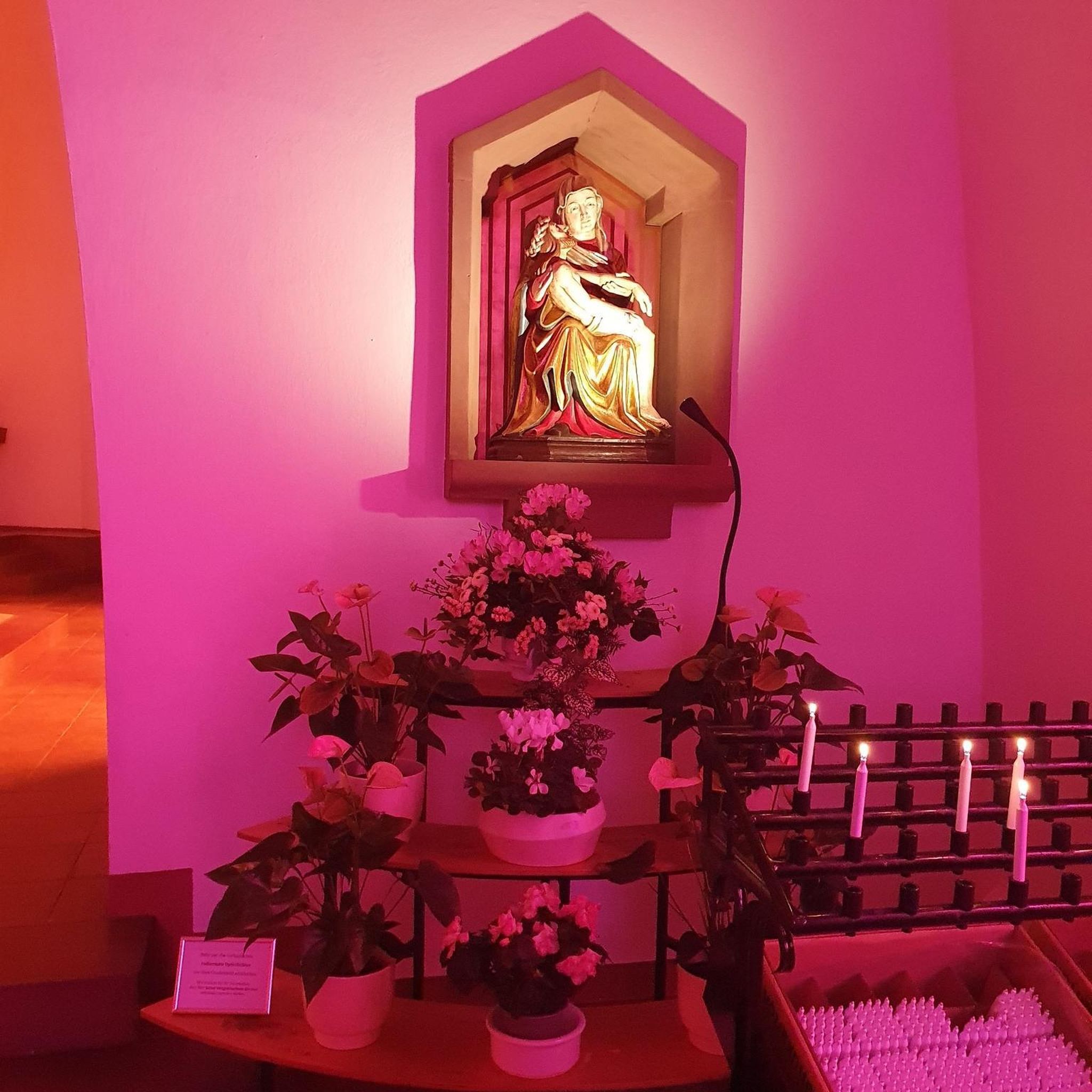
Contained within the ruins is a sculpture of the crucifixion, which is thought to date from the 10th Century, making it one of the oldest in Ireland. St Lurach founded an important church here in the 6th century. It was plundered by Vikings in 832 and burned in 1135. Following the 12th-century ecclesiastical reforms this was the seat of a bishop from the mid 12th to the mid 13th century, then served as parish church until the new church across the road was built in the early 19th century. This long history is reflected in the much patched and altered fabric, and the big uneven graveyard.
0
0


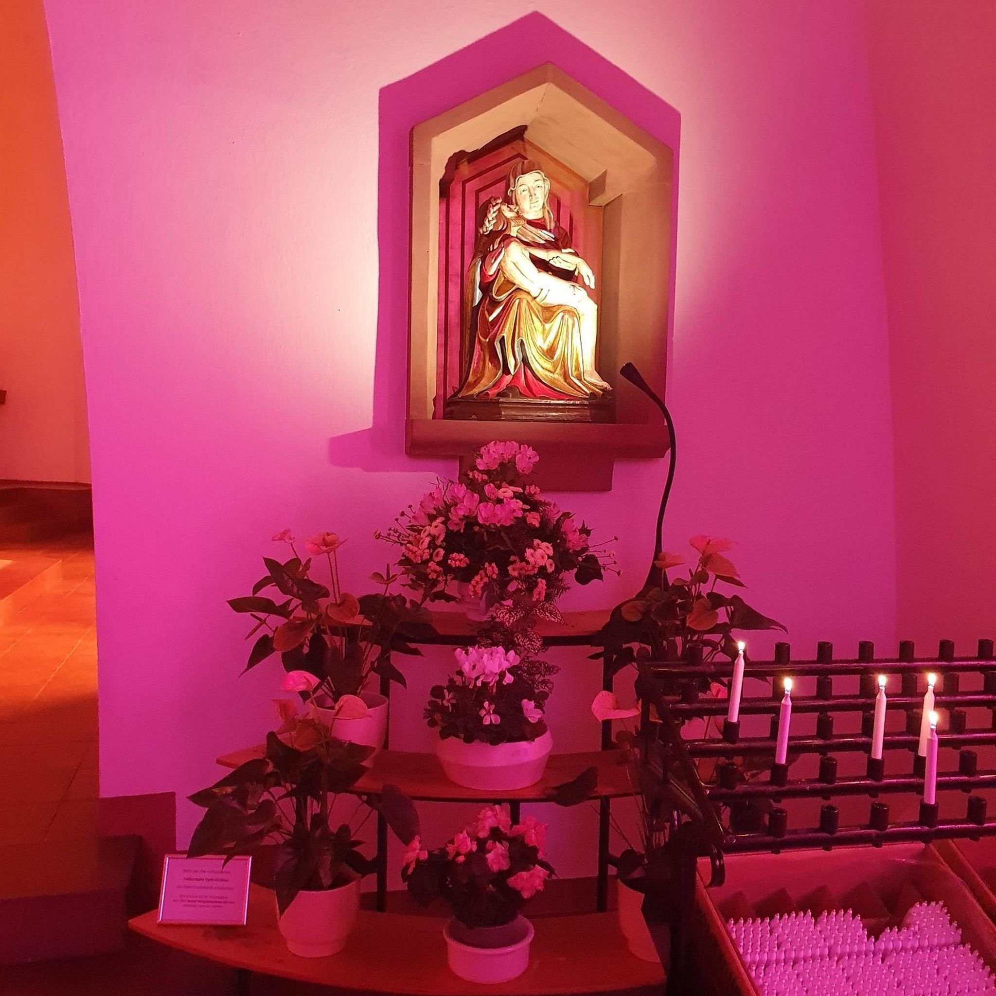
It's quite an unusual experience stumbling into a pyramid in the middle of an Irish forest! This pyramid was built in the 19th century as a burial chamber for Lord Garvagh and is a lovelly feature to the forest today.
2
0

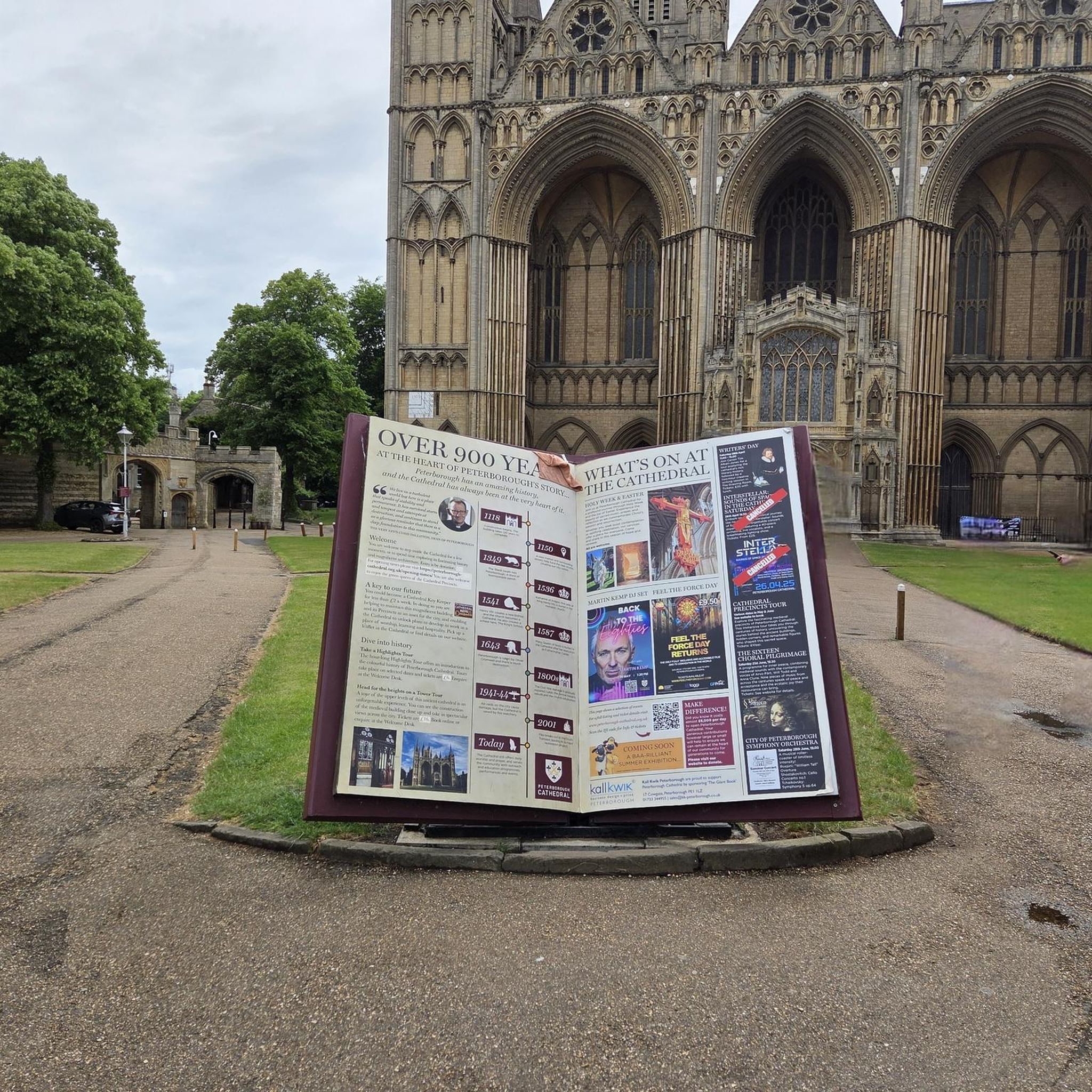
If there's a good bench out in the wild then it's always a good idea to take a rest. You never know when you'll fund another bench.
1
0

Frequently Asked Questions
How many road cycling routes are available in Brockaghboy?
There are several road cycling routes around Brockaghboy, with komoot featuring 8 distinct tours. These include options ranging from easy to moderate difficulty, catering to various skill levels.
What is the typical terrain like for road cycling in Brockaghboy?
Road cycling in Brockaghboy primarily involves open moorland and undulating upland hills. You can expect varied topography with consistent climbs and descents, as base elevations typically range between 240 m and 265 m above sea level. Some routes may pass near wind farms, indicating elevated and exposed sections.
Are there any challenging road cycling routes in Brockaghboy?
Yes, Brockaghboy offers moderate routes with significant elevation gain. For example, the St Lurach's Church Ruins – Bench Under a Large Tree loop from Pollan Burn is a 53.8 km (33.4 miles) route with over 420 meters of ascent, providing a good challenge through the region's upland hills.
Are there any easy or family-friendly road cycling options?
Yes, there are easier routes suitable for a more relaxed ride. The St Lurach's Church Ruins loop from Pollan Burn is an easy 34.7 km (21.6 miles) path with gentler gradients, offering a less strenuous way to experience the Brockaghboy landscape. Another easy option is the St Lurach's Church Ruins loop from Drumnaph Nature Reserve, which is 29.6 km (18.4 miles) long.
What kind of scenery can I expect on road cycling routes around Brockaghboy?
You can expect expansive views across open moorland and upland hills. The region's topography, with its steep ridges and deep gullies, creates a dramatic backdrop for your ride. While cycling, you might also catch glimpses of the wider Northern Ireland area, known for its spectacular coastal scenery and rolling countryside, especially towards the nearby Causeway Coast AONB.
Are there circular road cycling routes in the area?
Yes, many of the road cycling routes around Brockaghboy are designed as loops, allowing you to start and finish at the same point. Examples include the Garvagh Pyramid – Garvagh Forest Trails loop from Pollan Burn and the Garvagh Pyramid – Garvagh Forest Trails loop from Agivey, both offering varied terrain in a circular format.
What are some notable landmarks or attractions near the cycling routes?
While cycling, you'll be immersed in the natural beauty of the moorland and hills. Beyond the immediate routes, the wider region offers attractions like the Cuilcagh Boardwalk Trail (Stairway to Heaven), Florence Court estate, and Enniskillen Castle, providing historical and natural exploration opportunities. The spectacular Causeway Coast AONB is also accessible nearby, offering coastal views and cycling tours on country roads. More information about the Causeway Coast AONB can be found at daera-ni.gov.uk.
When is the best time of year to go road cycling in Brockaghboy?
The best time to cycle in Brockaghboy is generally during the warmer and drier months, typically spring through early autumn. This period offers more favorable weather conditions for enjoying the exposed moorland routes and expansive views. However, the region's weather can be unpredictable, so checking forecasts is always recommended.
What should I consider regarding weather and gear for cycling in Brockaghboy?
Given the open moorland and upland hills, routes can be exposed to wind and changing weather. It's advisable to carry layers, waterproof gear, and be prepared for cooler temperatures, even in summer. In autumn, specific gear for potentially wet and windy conditions, such as mudguards and good visibility clothing, would be beneficial.
Are there options for food and drink near the cycling routes?
While Brockaghboy itself is characterized by open moorland, the surrounding towns and villages will offer cafes, pubs, and accommodation options. It's a good idea to plan your route to pass through or near these settlements for refreshment stops, especially on longer rides.
Is parking available for road cyclists in Brockaghboy?
Specific parking facilities for individual routes are not detailed, but generally, you can find parking in nearby villages or designated areas that serve as starting points for trails. It's recommended to check local information for parking availability at your chosen starting location.
Can I reach the cycling routes using public transport?
Public transport options directly to the more remote starting points within Brockaghboy's moorland may be limited. Access is generally easier by car. However, local bus services might connect to larger towns in the vicinity, from where you could cycle to the route starting points.
Most popular routes around Brockaghboy

Get inspired with the komoot mobile app


Explore more
Browse the best Road cycling routes in other regions.
