The best running trails around South Milford
4.5
(108)
7,793
runners
517
runs
Jogging routes South Milford offer a pleasant environment for outdoor activities, characterized by relatively flat countryside, agricultural land, woodlands, and nature reserves. The region provides well-defined paths and routes with minimal elevation changes, making it accessible for various fitness levels. Joggers can explore expansive views across farmland and open fields, as well as shaded trails through areas like Bishop Wood. Wetland nature reserves such as RSPB Fairburn Ings also provide excellent settings for running.
Best jogging routes around South Milford
…Last updated: October 9, 2026
5.0
(1)
19
runners
5.29km
00:33
30m
30m
Moderate run. Good fitness required. Mostly paved surfaces. Suitable for all skill levels.
15
runners
15.1km
01:34
80m
80m
Hard run. Very good fitness required. Mostly paved surfaces. Suitable for all skill levels.

6
runners
3.49km
00:22
10m
10m
Easy run. Great for any fitness level. Mostly paved surfaces. Suitable for all skill levels.
5
runners
15.3km
01:35
70m
70m
Hard run. Very good fitness required. Mostly paved surfaces. Suitable for all skill levels.
5
runners
Hard run. Very good fitness required. Mostly paved surfaces. Suitable for all skill levels.
Get access to more routes and recommendations from other explorers.
Already have an account?
Our route recommendations are based on thousands of hikes, rides, and runs completed by other people on komoot.
Start today with a free account
Your next adventure awaits.

Tips from the Community


The village gaol was dug out of a limestone crag and measures only 8ft by 6ft. Inside there is nothing but a stone bench. An uncomfortable place to be locked up. It is an impressive sight by the side of the road. The window bars are the originals.
0
0
The small village of Hillam has a lot of history, dating from the 10th century and with ten grad II listed buildings and 1 grade II listed milestone in the village. There is also an old village pump which has been restored. The Cross Keys pub and Hillam Potting Shed art cafe provide refreshments for the weary cyclist.
0
0
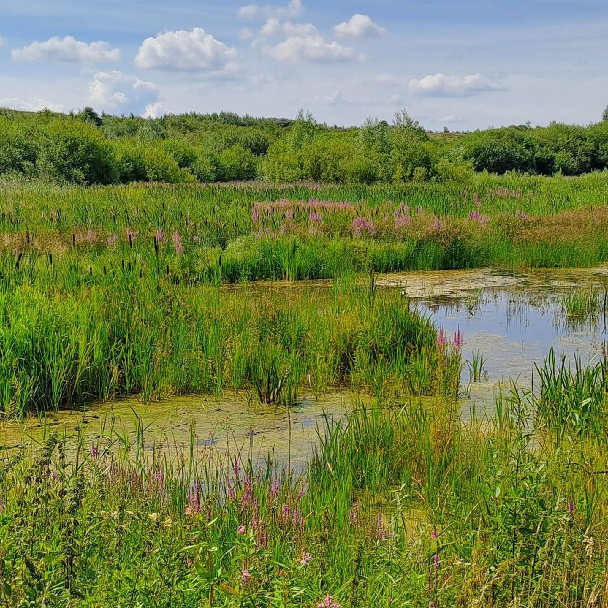
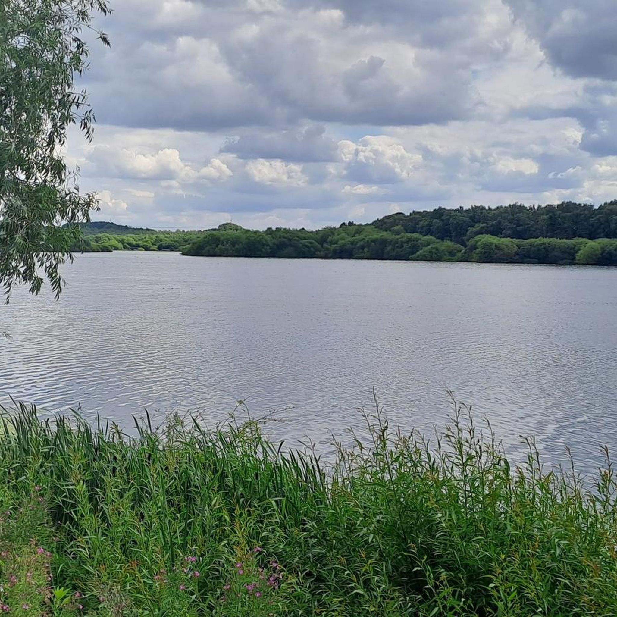
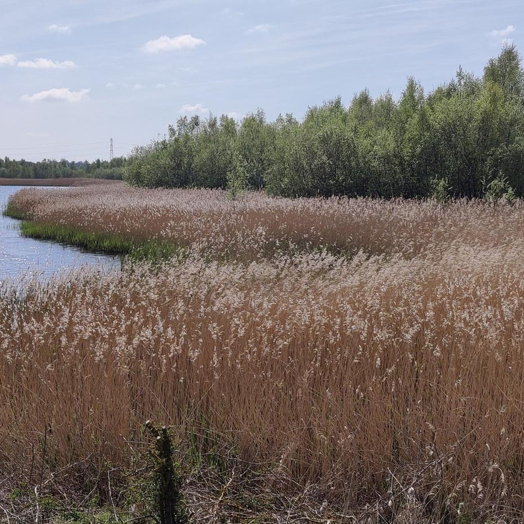
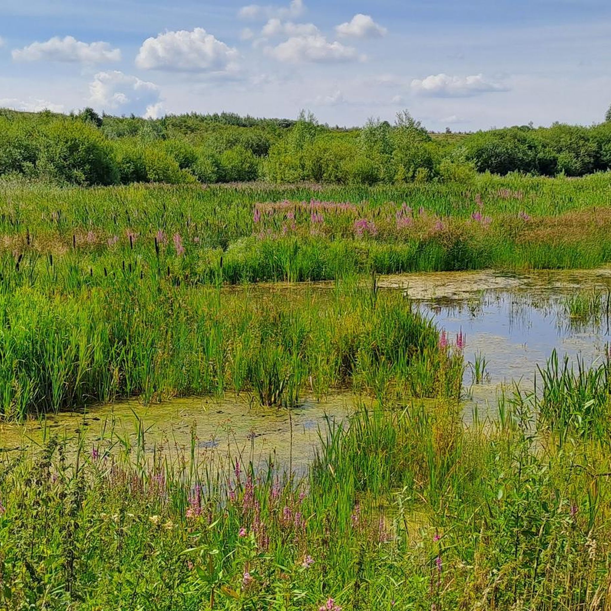
Newton Lane runs from the A656 at Allerton Bywater in the west almost to Fairburn in the east. It passes through Fairburn Ings, an RSPB nature reserve. Once a centre of coal mining, it is now a varied habitat for wildlife, including the rare bittern and spoonbill. There is a cafe and toilets at the visitors centre about halfway along Newton Lane on the south side of the road,
0
0


Frequently Asked Questions
How many running routes are available around South Milford?
There are over 500 running routes around South Milford, catering to all fitness levels. You'll find approximately 60 easy routes, nearly 400 moderate options, and around 90 challenging trails.
Are there many circular jogging routes in South Milford?
Yes, many of the running routes in South Milford are circular, allowing you to start and finish in the same location. For example, the Running loop from South Milford is a popular 3.3-mile circular path that offers a good workout directly from the village.
What kind of terrain can I expect on the jogging trails near South Milford?
The region around South Milford is characterized by relatively flat countryside, featuring a mix of agricultural land, woodlands, and nature reserves. You can expect well-defined paths and routes with minimal elevation changes, offering expansive views across farmland and open fields, as well as shaded trails through areas like Bishop Wood.
Are there any family-friendly running paths in the area?
Yes, the generally flat terrain and well-defined paths make many routes suitable for families. Look for the 'easy' graded routes, which often pass through pleasant agricultural land or woodlands like Bishop Wood, providing a gentle experience for all ages.
Can I bring my dog on the running routes around South Milford?
Many of the public footpaths and trails around South Milford are dog-friendly, especially those through agricultural land and woodlands. However, always keep dogs under control, particularly near livestock, and check local signage for any specific restrictions within nature reserves.
What are some scenic jogging routes with natural attractions?
For scenic runs, consider routes that pass through nature reserves. County of North Yorkshire Sign – Fairburn Ings Nature Reserve loop from South Milford is a challenging 17.8 km route that takes you past the wetlands of Fairburn Ings, a renowned birdwatching spot. You can also explore trails around Fairburn Ings RSPB Nature Reserve or RSPB St Aidan's Nature Reserve for diverse wildlife and landscapes.
Are there any longer, more challenging running trails near South Milford?
Yes, for those seeking a greater challenge, there are several longer and more difficult routes. The The Black and White Pub loop from Monk Fryston is a difficult 9.4-mile (15.1 km) path offering varied terrain and scenic views. Another option is the County of North Yorkshire Sign – Fairburn Ings Nature Reserve loop from South Milford, which is 17.8 km and also rated difficult.
What do other runners enjoy most about jogging in South Milford?
The running routes in South Milford are highly rated by the komoot community, with an average score of 4.4 stars from over 100 reviews. Reviewers often praise the tranquil countryside, well-defined paths, and the variety of routes that cater to different abilities, from easy loops to more challenging long-distance runs.
Are there any historical landmarks I can see while running?
While not directly on the routes listed in the guide, the nearby Towton Battlefield Trail offers a 4-mile moderate route through the site of a significant War of the Roses battle, combining history with your run. Within the immediate area, you might encounter local churches or historic village features.
Are there options for public transport to access running trails in South Milford?
South Milford has local bus services that connect to nearby towns, which could provide access points to various trails. For specific route access, it's advisable to check local bus timetables and route maps to see which stops are closest to your desired starting points.
Are there any running routes that include pub stops?
Yes, some routes are designed to pass by or start near local establishments. For instance, The Black and White Pub loop from South Milford is an 8.4-mile trail that incorporates a pub, offering a convenient stop for refreshments before or after your run.
What is the best time of year for jogging in South Milford?
South Milford offers pleasant jogging conditions throughout much of the year. Spring and autumn provide mild temperatures and beautiful scenery with changing foliage. Summer is also great, especially on shaded woodland trails like those in Bishop Wood. Winter runs are possible, but be mindful of potentially muddy paths and shorter daylight hours.
Most popular attractions around South Milford

Get inspired with the komoot mobile app


Explore more
Browse the best Running Trails & Routes in other regions.
