The best road cycling routes around Gortaclare
115
riders
6
rides
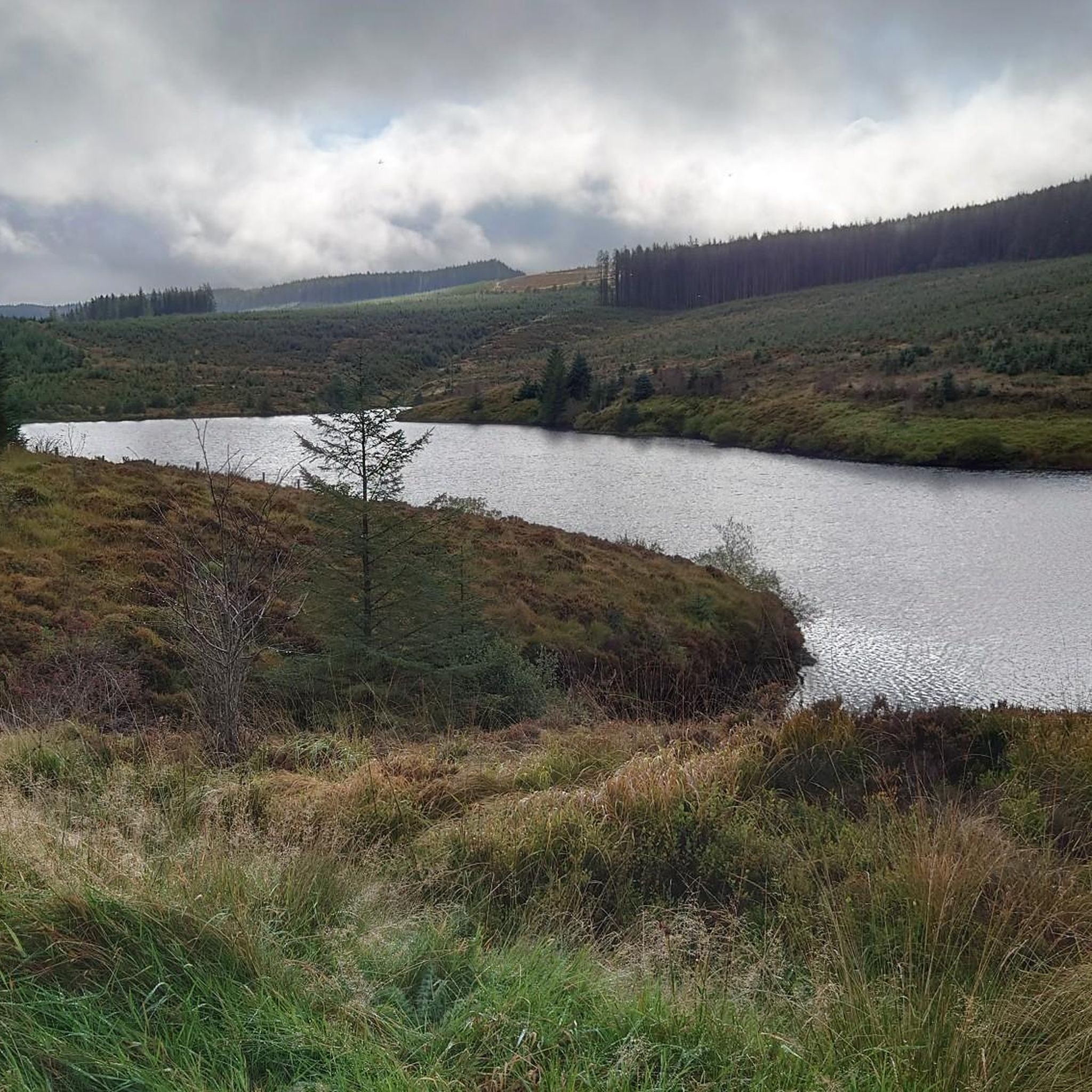
Road cycling routes around Gortaclare are primarily found within County Tyrone, Northern Ireland, nestled in the Sperrins Area of Natural Beauty. This region features rolling mountains, expansive moorland, and a network of serene lakes such as Moor Lough and Gortin Lakes. The terrain offers varied elevation changes, providing both challenging climbs and scenic stretches through forest parks and along ridgelines.
Best road cycling routes around Gortaclare
- The most popular road cycling route is Lough Neagh loop from Dungiven - Sperrins…
Last updated: July 12, 2026
1
riders
96.5km
04:29
1,110m
1,110m
Hard road ride. Very good fitness required. Some segments of this route may be unpaved and difficult to ride.
50
riders
81.8km
03:27
420m
420m
Moderate road ride. Good fitness required. Mostly well-paved surfaces and easy to ride.

Sign up for free
33
riders
110km
06:00
1,770m
1,770m
Hard road ride. Very good fitness required. Some segments of this route may be unpaved and difficult to ride.
18
riders
51.2km
02:20
420m
420m
Moderate road ride. Good fitness required. Mostly well-paved surfaces and easy to ride.
13
riders
27.3km
01:12
120m
120m
Easy road ride. Great for any fitness level. Mostly well-paved surfaces and easy to ride.
Our route recommendations are based on thousands of hikes, rides, and runs completed by other people on komoot.
Start today with a free account
Your next adventure awaits.
Login or Signup
Popular around Gortaclare


Tips from the Community


Worth booking tickets beforehand just for convenience. They aren't tied to a date or time
0
1


With Barnes Top and Knockanbane Mountain to the east and Sawel Mountain to the south east, Sperrins Road carves through the landscape with cracking views all around. There is some descent climbing to get here but it's worth it.
0
0

The beautiful winding road of Tamnagh takes you through the heart of Sperrins AONB. You can enjoy views toward the Sperrins ridge including mountains Sawel, Dart, and Mullaghdoo. It's a tough climb up in this section, but the views at the top will make it all worthwhile.
1
0
The beautiful winding road of Tamnagh takes you through the heart of Sperrins AONB. You can enjoy views toward the Sperrins ridge including mountains Sawel, Dart, and Mullaghdoo.
2
0

Go and see this unique building before it falls into the sea! Coastal erosion has brought the temple very close to the edge of the cliff.
1
0
Frequently Asked Questions
How many road cycling routes are available around Gortaclare?
Komoot offers 6 diverse road cycling routes around Gortaclare. These routes cater to various skill levels, including 1 easy, 2 moderate, and 3 difficult options, ensuring there's a ride for every cyclist.
What kind of terrain can I expect when road cycling in the Gortaclare region?
The Gortaclare region, primarily within County Tyrone's Sperrins Area of Natural Beauty, features rolling mountains, expansive moorland, and serene lakes like Moor Lough and Gortin Lakes. You can expect varied elevation changes, offering both challenging climbs and scenic stretches through forest parks and along ridgelines. If exploring the County Clare side, you'll encounter the unique 'lunar-like' karst landscape of The Burren with its rolling, treeless hills.
Are there road cycling routes suitable for beginners or families?
Yes, there are options for beginners. For an easier ride, consider the Graffiti Art – Bellarena Station loop from Limavady. This route is 27.3 km long with a moderate elevation gain, making it a good choice for those looking for a more relaxed experience.
What are the best times of year to go road cycling around Gortaclare?
The best times for road cycling in the Gortaclare region are typically during the spring, summer, and early autumn months (April to October). During these periods, the weather is generally milder, with longer daylight hours and less chance of harsh conditions, allowing for more enjoyable rides through the scenic landscapes of the Sperrins or The Burren.
Are there any circular road cycling routes available?
Many of the routes around Gortaclare are designed as loops, offering a convenient way to start and finish your ride at the same point. For example, the challenging Lough Neagh loop from Dungiven - Sperrins and the moderate View of Malin Head – Moville Waterfront loop from Limavady are both circular routes.
What are some scenic highlights or viewpoints I might encounter on these routes?
Road cycling routes in the Gortaclare region offer numerous scenic highlights. In County Tyrone, you can enjoy views of Moor Lough, the Sperrins Ridgeline, and the expansive vistas from Mullaghclogha Summit. Routes like the Lough Neagh loop from Dungiven - Sperrins provide extensive views across the Sperrins landscape, while the View of Malin Head – Moville Waterfront loop from Limavady offers coastal vistas.
Are there options for more advanced or experienced road cyclists?
Absolutely. The Gortaclare area provides challenging routes for experienced cyclists. There are 3 difficult routes, including the demanding Lough Lark – Goles Stone Row loop from Feeny Road Bus Stop, which covers over 109 km with significant elevation gain, leading through the rural landscape of the Sperrins.
Where can I find parking when planning a road cycling trip?
While specific parking locations for each route are not detailed in the guide, general parking is often available in nearby towns or designated trailheads within the Sperrins Area of Natural Beauty or near popular attractions in County Clare. It's advisable to check local council websites or specific route descriptions for the most up-to-date parking information.
Can I access these road cycling routes using public transport?
Public transport access varies by route and region. Some routes, like the Lough Lark – Goles Stone Row loop from Feeny Road Bus Stop, are explicitly named with a bus stop as a starting point, indicating public transport accessibility. For other routes, especially those in more rural areas, public transport options might be limited, and it's recommended to check local bus schedules and bike carriage policies in advance.
Are there places to stop for refreshments or cafes along the road cycling routes?
While the guide doesn't list specific cafes for every route, the region offers opportunities for refreshment stops. For instance, the Sea Shed Coffee & Fruit – Mussenden Temple loop from Limavady explicitly mentions a coffee stop in its name. Many routes pass through or near small villages and towns where you can find local pubs or cafes to refuel.
Are there any permits required for recreational road cycling in the Gortaclare area?
Generally, no specific permits are required for recreational road cycling on public roads in the Gortaclare area, whether in County Tyrone or County Clare. However, if your route takes you through private land or specific forest parks, it's always best to check for any local regulations or access restrictions.
What makes the Gortaclare region a unique destination for road cycling?
The Gortaclare region offers a unique blend of landscapes for road cycling. In County Tyrone, it's the dramatic, rolling mountains and moorlands of the Sperrins AONB, with its serene lakes and challenging climbs. In County Clare, it's the distinct, 'lunar-like' karst terrain of The Burren, combined with stunning coastal views along the Wild Atlantic Way. This diversity provides a rich and varied cycling experience, from tranquil rural roads to exhilarating mountain passes and coastal stretches.
Can I bring my dog on these road cycling routes?
Road cycling routes are primarily on public roads and are generally not ideal for bringing dogs, especially for safety reasons with traffic. While some areas might have paths suitable for dogs, it's best to consider dedicated walking or off-road cycling trails if you wish to bring your canine companion. Always ensure your dog is safe and under control, and check local regulations regarding pets on trails.
Most popular routes around Gortaclare

Get inspired with the komoot mobile app


Explore more
Browse the best Road cycling routes in other regions.
