The best mountain hikes around Bad Münder am Deister
5.0
(4)
15
hikers
5
hikes
Mountaineering routes around Bad Münder am Deister traverse the low mountain ranges of the Deister and Süntel, offering varied terrain. The region features dense forests, valleys, and significant elevations, with the Deister reaching up to 405 meters and the Süntel's Hohe Egge at approximately 442.5 meters. Notable geological formations include the Hohenstein Cliffs, which rise up to 60 meters. These natural features provide a diverse landscape for mountaineering activities.
Best mountaineering routes around Bad Münder am Deister
- The most popular…
Last updated: July 7, 2026
5.0
(3)
7
hikers
10.8km
03:07
280m
280m
Moderate mountaineering route. Good fitness required. Easily-accessible paths. Suitable for all skill levels.
4
hikers
3.82km
01:18
180m
180m
Moderate mountaineering route. Great for any fitness level. Mostly accessible paths. Sure-footedness required.

Sign up for free
2
hikers
Moderate mountaineering route. Good fitness required. Easily-accessible paths. Suitable for all skill levels.
5.0
(1)
1
hikers
Moderate mountaineering route. Good fitness required. Easily-accessible paths. Suitable for all skill levels.
1
hikers
8.27km
02:24
220m
220m
Moderate mountaineering route. Good fitness required. Easily-accessible paths. Suitable for all skill levels.
Our route recommendations are based on thousands of hikes, rides, and runs completed by other people on komoot.
Start today with a free account
Your next adventure awaits.
Login or Signup
Popular around Bad Münder am Deister

Hanover trails – hiking between Steinhuder Meer and Deister
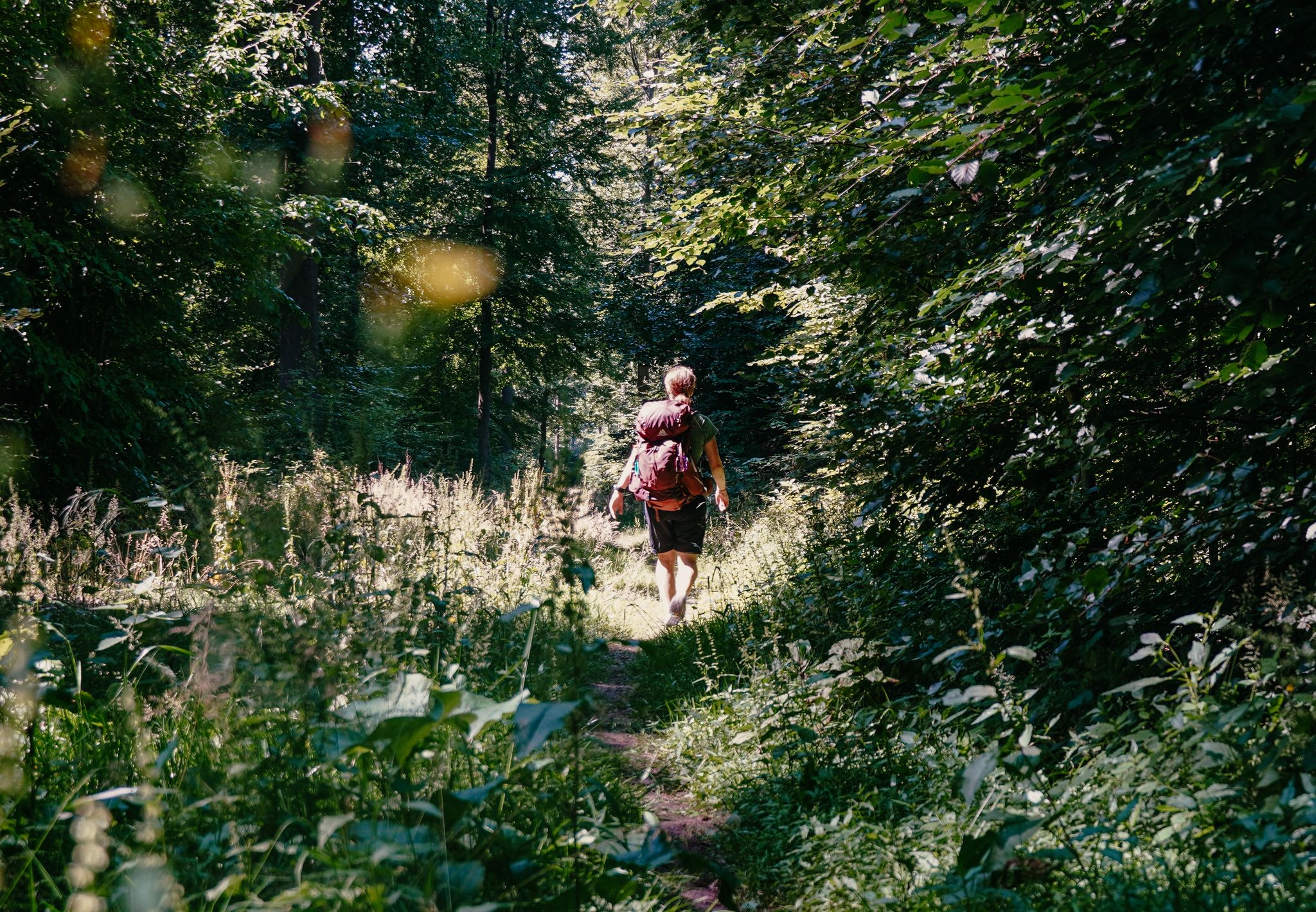
Experience nature with all your senses in the Weserbergland
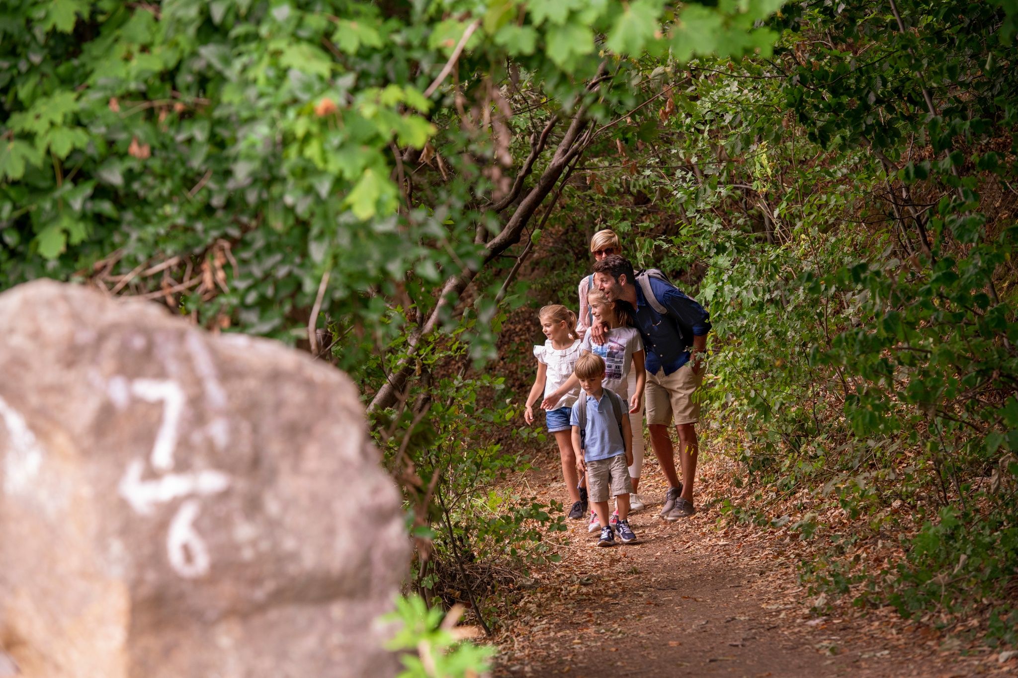
Castles and miners – hike through history in the Weserbergland region
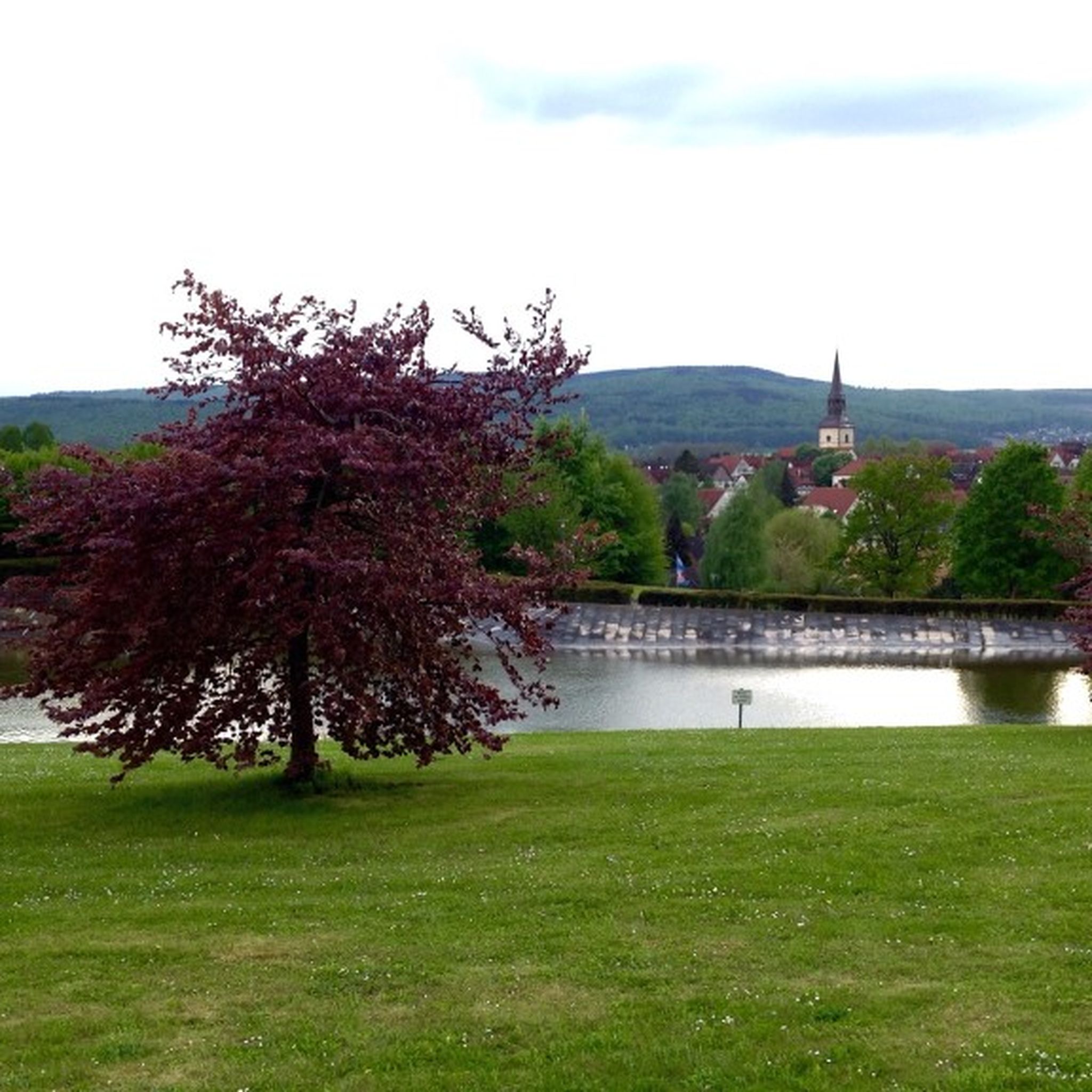
Hiking around Bad Münder am Deister
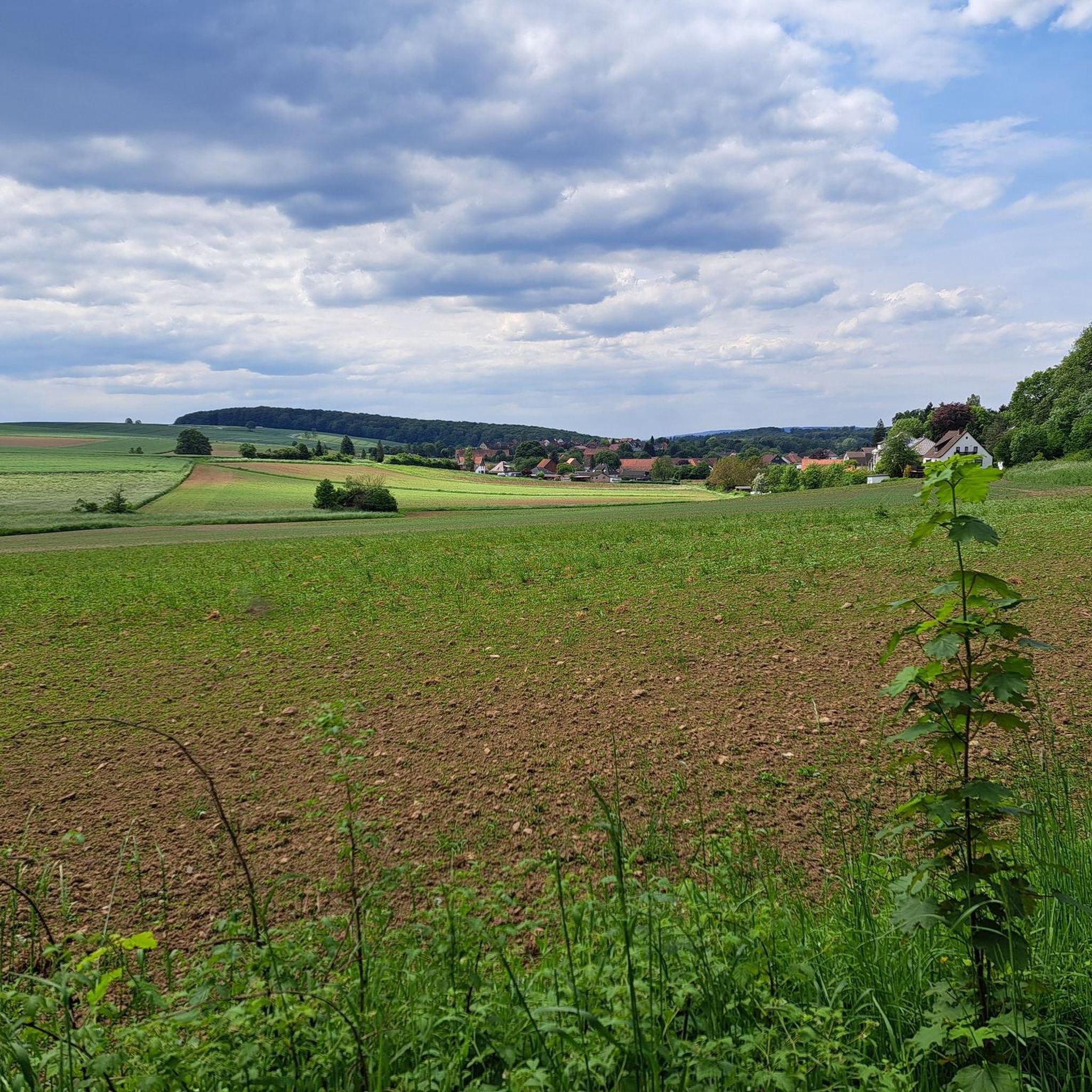
Cycling around Bad Münder am Deister
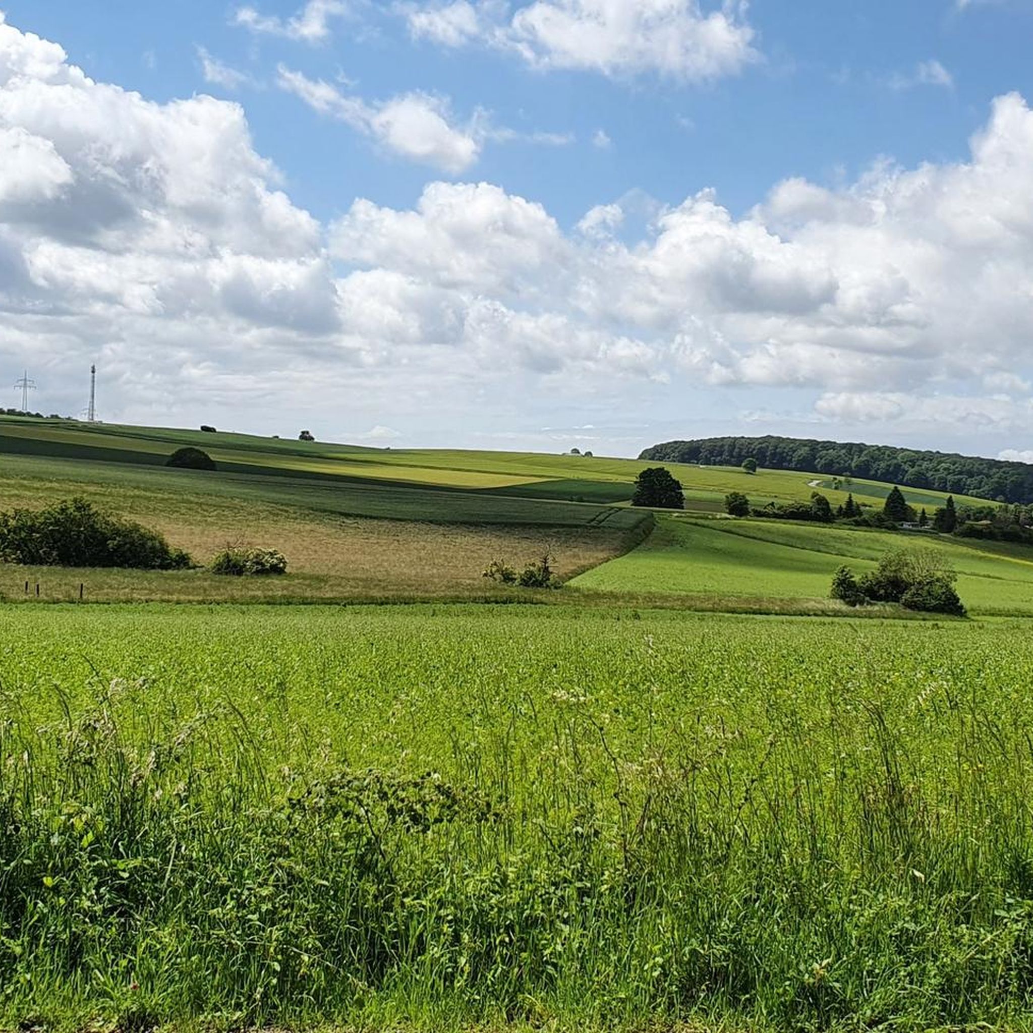
MTB Trails around Bad Münder am Deister
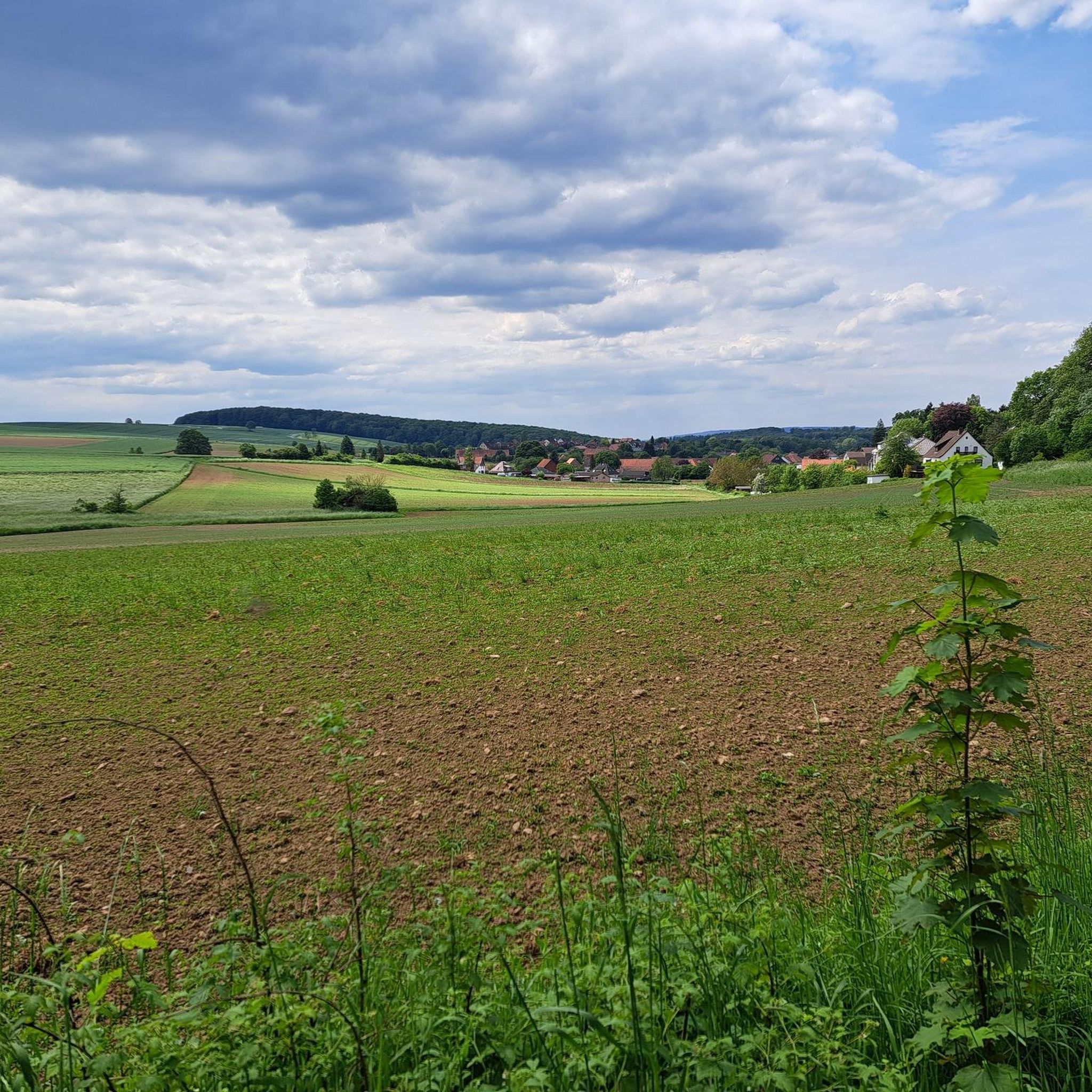
Road Cycling Routes around Bad Münder am Deister
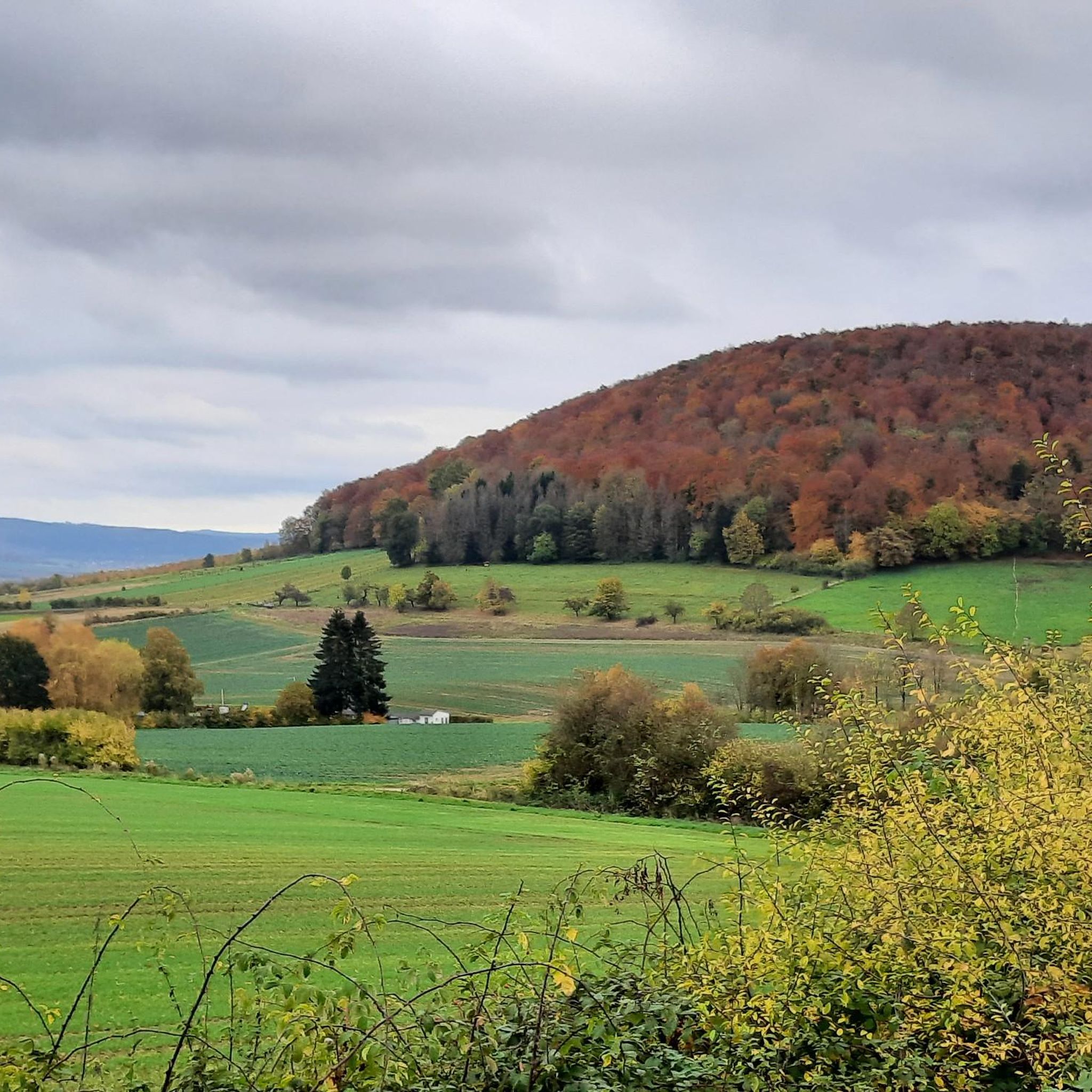
Running Trails around Bad Münder am Deister
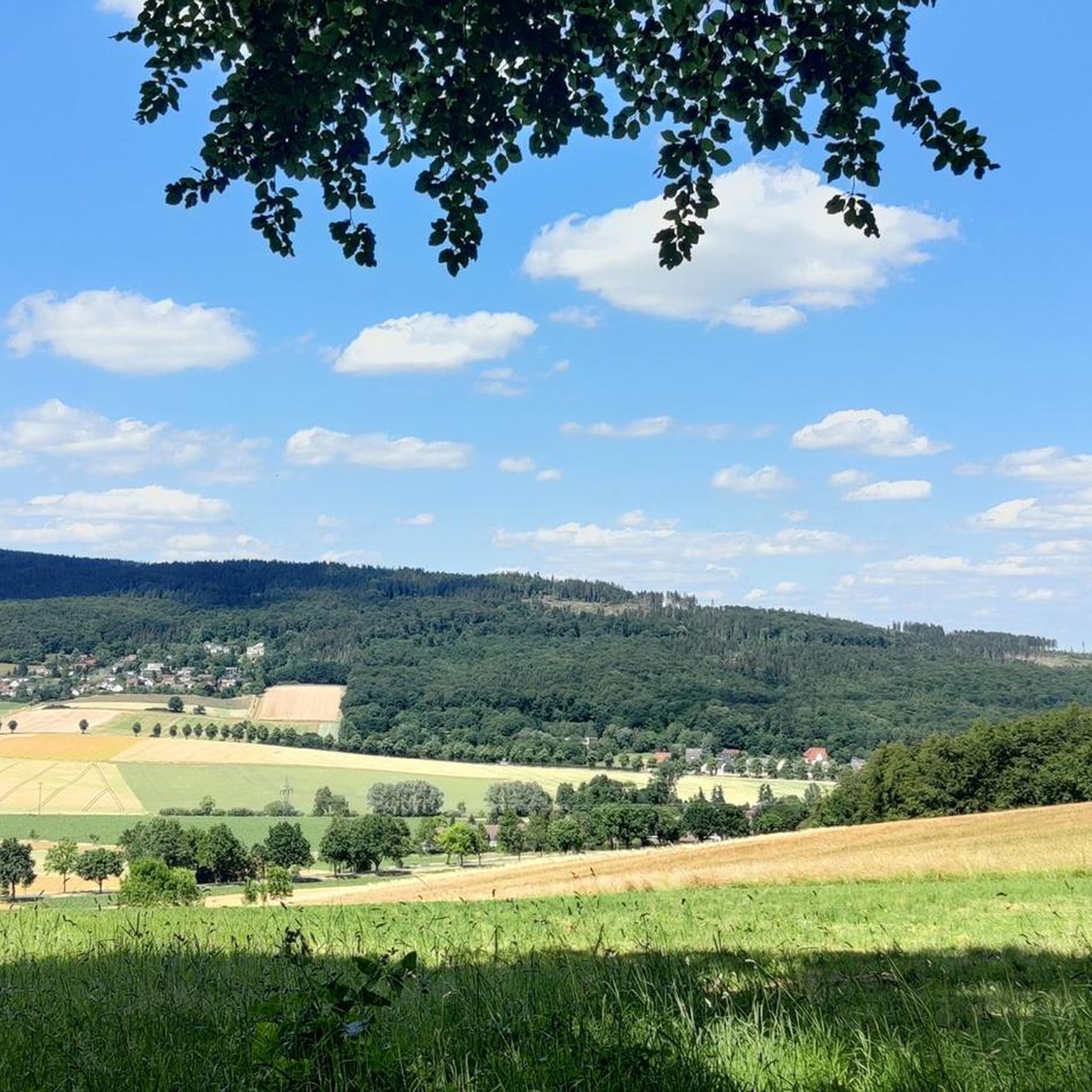
Gravel biking around Bad Münder am Deister
Other adventures around Bad Münder am Deister


Tips from the Community

The Süntel Tower is temporarily closed. It may reopen on April 1st, 2026.
1
0

The Kneipp pool at the Kreuzstein spring is a special place in the Süntel hills, where experiencing nature and promoting health are harmoniously combined. Located in the heart of the forest, the pool invites hikers and those seeking relaxation to take a break and directly experience the invigorating effect of the fresh spring water.
1
0
The Hohenstein in the Süntel hills is a striking rock formation and one of the most popular viewpoints in the Weser Uplands. From the approximately 340-meter-high cliff, there is a sweeping view across the Weser Valley and the surrounding hills. The Hohenstein's rocks are made of sandstone and drop steeply southward into the valley. From the natural viewpoints, especially the so-called "pulpit," the course of the Weser River, which meanders through the landscape in wide bends, is clearly visible. The area is part of the Süntel Nature Reserve and provides habitat for numerous animal and plant species.
1
0

Beginning of the nature reserve - please stay on the paths!
0
0

Not suitable for people with a fear of heights
0
0

The Teufelskanzel (Devil's Pulpit) is a striking vantage point in the Weser Mountains near Hessisch Oldendorf, about 16 kilometers northwest of Rinteln. It is located on the Hohenstein, a wooded plateau at an altitude of approximately 340 meters, and offers impressive views over the Weser Valley and the surrounding Weser Uplands. The Teufelskanzel rock formation is part of the Hohenstein cliffs, which are up to 40 meters high and also include the "Green Altar" and the "Hirschsprung" (Deer Leap). These cliffs drop steeply to the Weser River and are accessible via well-marked hiking trails. The ascent involves some steep steps and requires surefootedness. Once at the top, the view rewards the effort with a magnificent panorama. The region around the Teufelskanzel is rich in myths and legends. It is said that the devil once preached here, which gave the rock formation its name. Other points of interest are nearby, such as the "Green Altar," which is considered a historically significant site and may have once served as a sacrificial site. For hikers, there's a circular route that leads from Zersen through the Blutbach Valley up to Hohenstein. The route is approximately eight kilometers long and leads through diverse landscapes with deciduous forests and open rocks. There are several rest stops along the way, including the Baxmannbaude hut, which is a great place to stop for a break.
0
0


Great fun for kids
0
0
Frequently Asked Questions
What kind of terrain can I expect on mountaineering routes around Bad Münder am Deister?
The region offers a diverse landscape, primarily characterized by the low mountain ranges of the Deister and Süntel. You'll find dense forests, picturesque valleys, and significant elevations. The Süntel, in particular, features distinct geological formations like the Hohenstein Cliffs, which rise up to 60 meters, and even some waterfalls and caves, making for varied and interesting terrain.
Are there any easy mountaineering routes suitable for beginners or families?
Yes, there are routes suitable for various fitness levels. For an easier option, consider the View from Hohenstein Cliffs loop from Hohenstein. This 2.3-mile (3.6 km) path is rated easy and offers rewarding views from the Hohenstein Cliffs, making it a great choice for a less strenuous outing.
What are some notable natural features or landmarks I can see along the routes?
The routes offer several interesting natural features and landmarks. You can explore the Hohenstein Cliffs, known for their distinct geological formations. The Süntel mountain range features the Süntelturm, an observation tower with panoramic views. The Deister is home to the rare, gnarled Süntel beeches. Additionally, you might encounter the Blanke Pond or the St. Avold Quarry Lake Nature Reserve, offering serene waterscapes.
Are there any circular routes available for mountaineering?
Many of the routes in the area are designed as loops, allowing you to start and end at the same point. For example, the Blanketeich – Wennigsen Waterwheels loop from Wennigser Mark is a popular moderate circular trail that explores forested paths and historical waterwheels. Another option is the Süntel Tower – Kneipp water-treading spot at the Steinbach loop from Flegessen, which takes you through the Süntel mountain range.
Can I bring my dog on the mountaineering trails?
Generally, dogs are welcome on the hiking trails around Bad Münder am Deister, especially in the forested areas of the Deister and Süntel. It's always recommended to keep your dog on a leash, especially in nature reserves or areas with wildlife, and to be mindful of other hikers. A good option for a walk with your dog could be the Old Baptismal Font loop from Barsinghausen, which offers a moderate forest experience.
What is the best time of year for mountaineering in this region?
The region is enjoyable for mountaineering throughout much of the year. Spring and autumn offer pleasant temperatures and beautiful scenery with blooming flora or vibrant fall foliage. Summer is also suitable, though some routes might be warmer. Winter can provide a unique experience, but conditions may vary, so checking local weather and trail conditions is advisable.
Where can I find parking for the trailheads?
Many of the starting points for these routes are accessible by car and likely have designated parking areas. For instance, routes often begin from locations like Wennigser Mark, Hohenstein, Flegessen, Coppenbrügge, or Barsinghausen. The Lauenau-Feggendorf barbecue area in the Deister is also a known spot with parking facilities, often serving as a starting point for various trails.
Are there any challenging routes for experienced mountaineers?
While the region is known for low mountain ranges rather than technical mountaineering, there are more challenging hikes with significant elevation changes that require good basic fitness. The Devil's Kitchen Gorge – Adam and Eve Rock Formations loop from Coppenbrügge is a moderate route that covers over 10 miles (16 km) and features over 500 meters of elevation gain, offering a more demanding experience.
What do other mountaineers say about the routes in Bad Münder am Deister?
The mountaineering routes around Bad Münder am Deister are highly regarded by the komoot community, holding an average rating of 5.0 stars from over 4 reviews. Users often praise the varied terrain, the beauty of the dense forests, and the rewarding views from elevated points like the Süntelturm and Hohenstein Cliffs.
Are there opportunities for climbing or bouldering in the area?
Yes, the Hohenstein Cliffs are a notable attraction for climbers, particularly for bouldering. This area offers problems on sandstone and limestone, with a maximum height of 50 meters. It's described as a good bouldering area, and you might find routes up to 6c (Fontainebleau grades). The nearby town of Wennigsen also offers various free climbing opportunities.
Can I access the mountaineering trails using public transport?
While specific public transport connections directly to all trailheads might vary, Bad Münder am Deister itself is connected to regional transport networks. Some routes start from towns like Barsinghausen or Wennigser Mark, which may have public transport links. It's advisable to check local bus or train schedules to plan your approach to specific starting points.
Most popular routes around Bad Münder am Deister
Most popular attractions around Bad Münder am Deister

Get inspired with the komoot mobile app


