The best running trails around Pontesbury
4.0
(2)
296
runners
33
runs
Jogging around Pontesbury offers a diverse landscape for runners, characterized by rolling lowlands, verdant countryside, and prominent volcanic hills such as Earl's Hill and Pontesford Hill. Over a quarter of the area is covered by woodlands, providing shaded routes, while the Rea Brook meanders through flat waterside meadows. The region features an extensive network of over 40 trails, catering to various fitness levels.
Best jogging routes around Pontesbury
- The most popular jogging route is View of Earl's Hill – Earl's…
Last updated: October 13, 2026
40
runners
11.1km
01:25
320m
320m
Hard run. Very good fitness required. Mostly paved surfaces. Suitable for all skill levels.
19
runners
8.90km
01:10
260m
260m
Moderate run. Good fitness required. Mostly paved surfaces. Suitable for all skill levels.

16
runners
7.12km
00:44
40m
40m
Moderate run. Good fitness required. Mostly paved surfaces. Suitable for all skill levels.
15
runners
5.49km
00:35
60m
60m
Moderate run. Good fitness required. Mostly paved surfaces. Suitable for all skill levels.
12
runners
8.33km
00:52
60m
60m
Moderate run. Good fitness required. Mostly paved surfaces. Suitable for all skill levels.
Get access to more routes and recommendations from other explorers.
Already have an account?
Our route recommendations are based on thousands of hikes, rides, and runs completed by other people on komoot.
Start today with a free account
Your next adventure awaits.
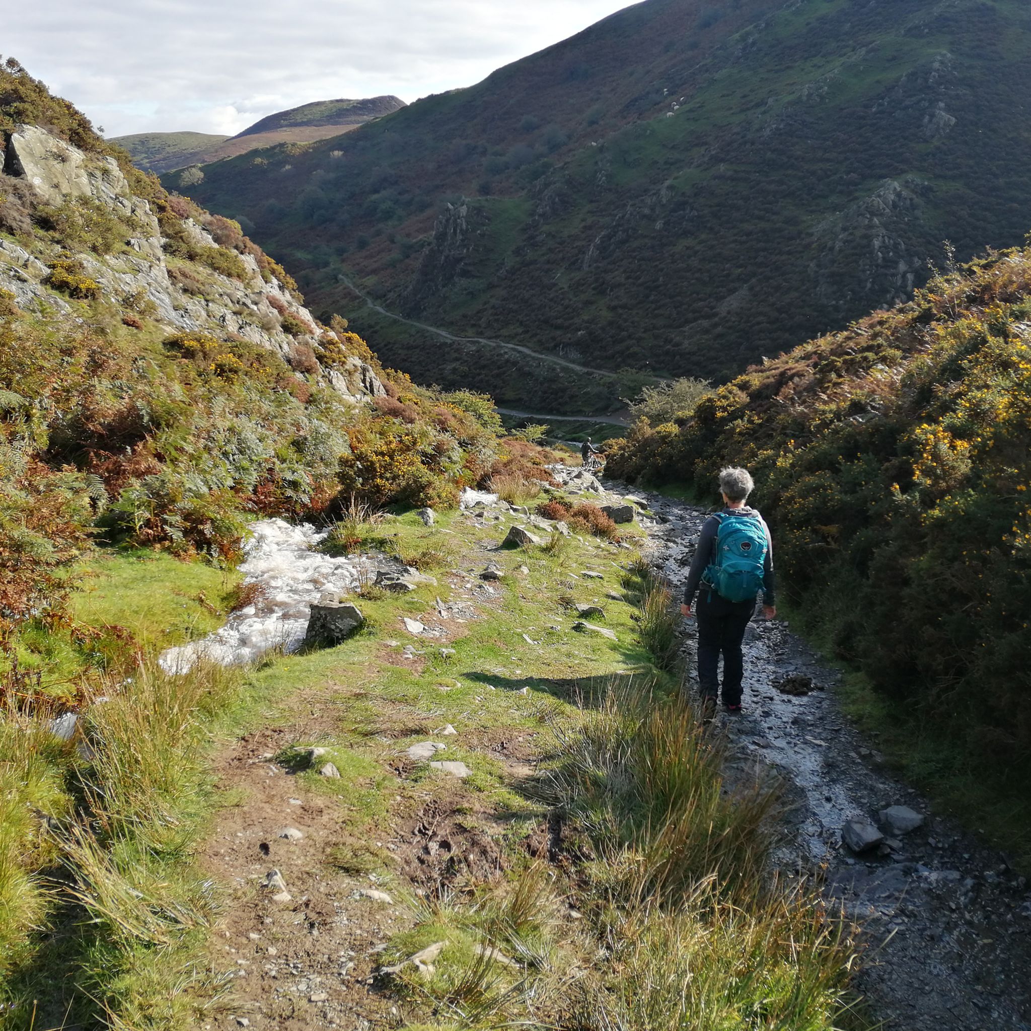
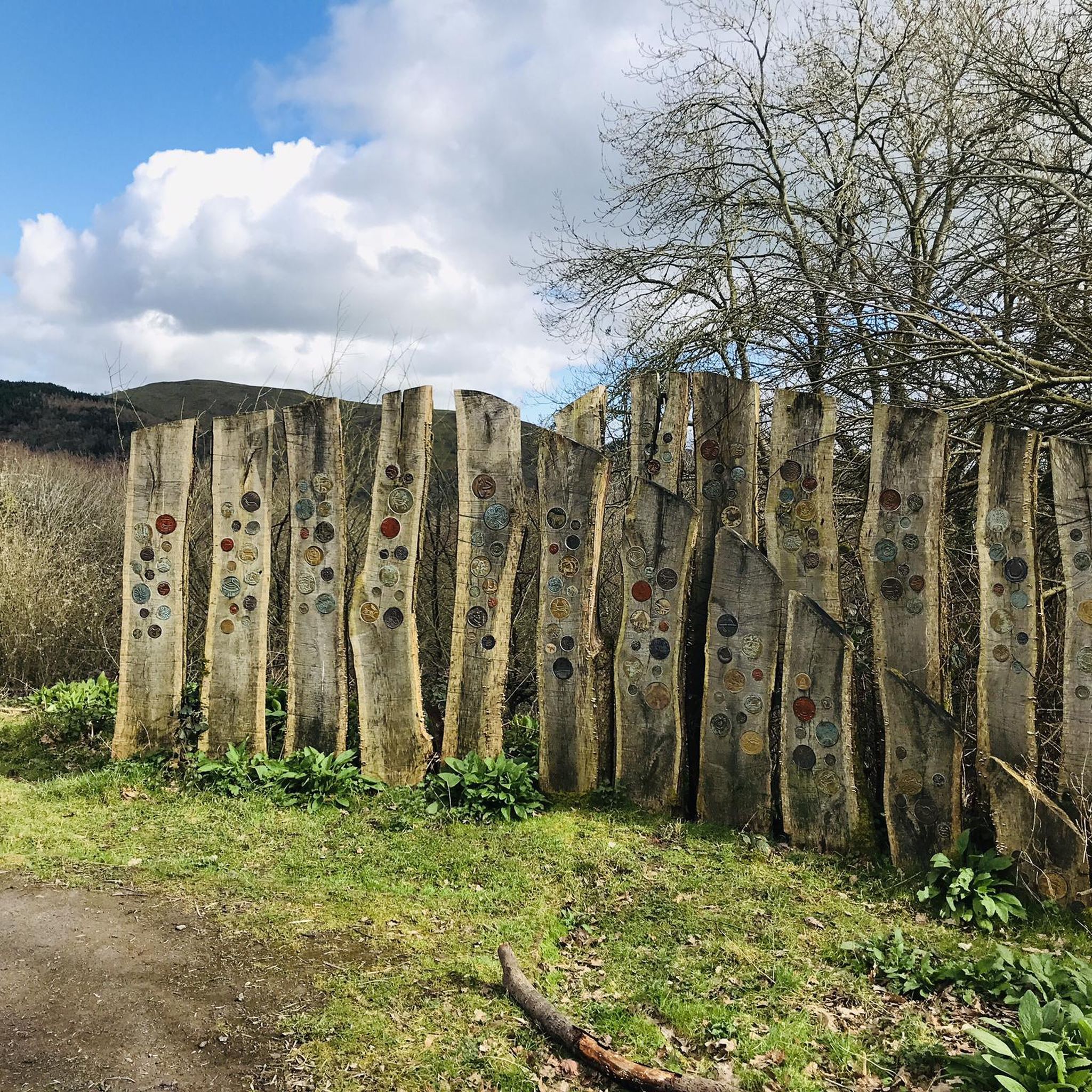
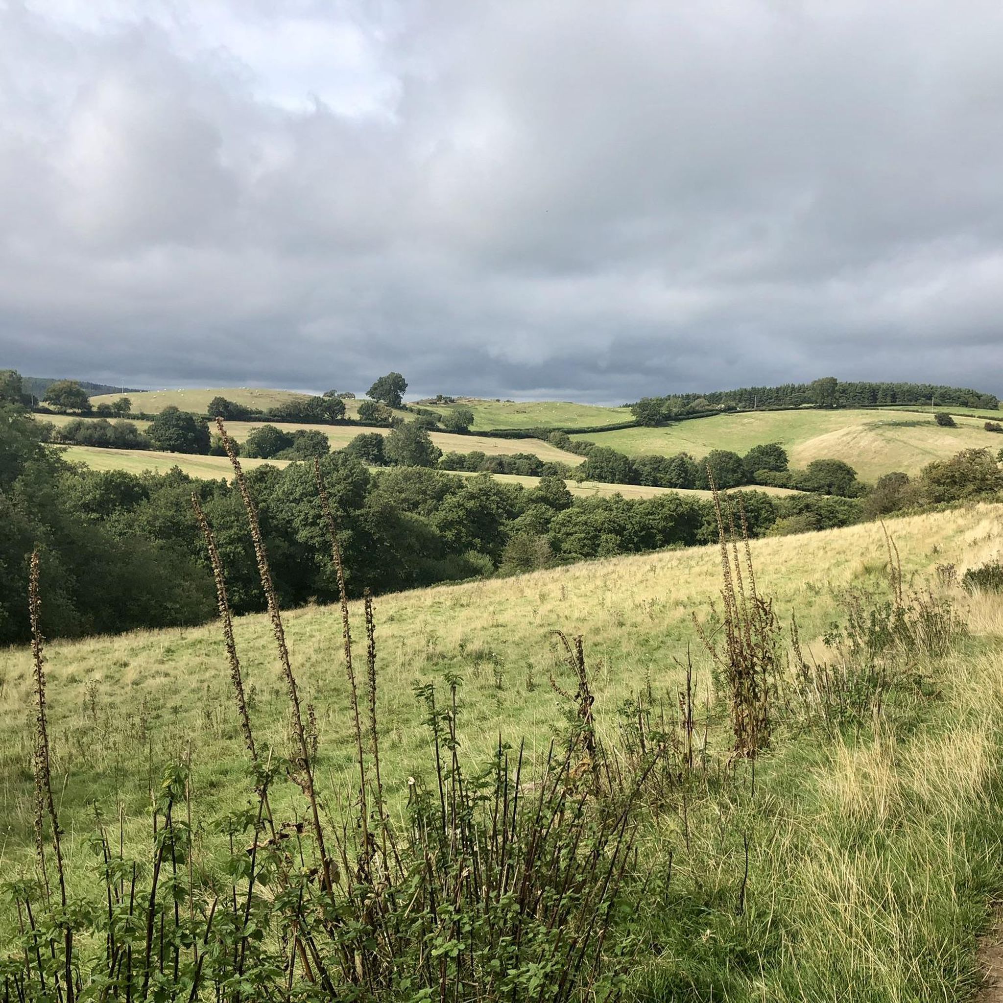
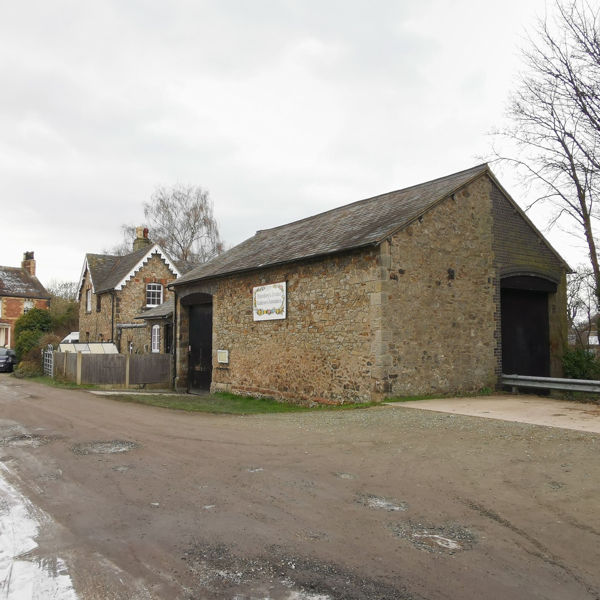
Tips from the Community

Really good path. There is another one closer to the stream but it isn’t in good shape. Great for running too.
0
0

Worth a visit this time of year as it’s nice and warm with good beer, coffee & food open every lunch time 🥲
0
0

Said to resemble the shape of a sleeping dragon, the twin peaks of Earl's Hill and Pontesbury Hill have their firey origin in a volcano some 650 million years ago. Glorious views from the summit - an Iron Age hillfort - stretch out to Wales and across the Shropshire Hills.
0
0
Be careful around here on a road bike. The surface is shocking. 🚴👍
0
0
The back roads are in generally pretty poor condition around here. Be careful 👍
0
0

It’s a steep ole climb up to Earl’s Hill, but the views are well worth it
0
0

Gorgeous on a still day exhilarating when it's windy!
0
0
Frequently Asked Questions
How many running routes are available around Pontesbury?
Pontesbury offers an extensive network of over 40 running routes, catering to various fitness levels and preferences. These trails are highly rated by the komoot community, with an average score of 4.0 stars.
What kind of terrain can I expect on the jogging trails in Pontesbury?
The jogging trails around Pontesbury feature a diverse landscape, including rolling lowlands, verdant countryside, and prominent volcanic hills like Earl's Hill and Pontesford Hill. You'll find routes through extensive woodlands, along the Rea Brook, and even paths exploring former industrial areas, offering a mix of challenging ascents and gentler, shaded routes.
Are there any easy or beginner-friendly running routes in Pontesbury?
While many routes in Pontesbury are moderate to difficult, there are options for easier runs. For instance, the Rae Brook – Pontesbury Old Station loop from Pontesbury offers a moderate 7.1 km path with minimal elevation change, ideal for a more relaxed run. The region also has shorter, stile-free paths along the old railway line and Pontesford Brook.
Can I find circular running routes in Pontesbury?
Yes, many of the running routes in Pontesbury are circular, allowing you to start and finish in the same location. A popular option is the View of the Shropshire Hills – Earl's Hill summit trig point loop from Pontesbury, a 4.9 km trail that provides varied terrain and scenic views.
Are there any notable landmarks or scenic viewpoints along the running trails in Pontesbury?
Absolutely! The region is rich in natural beauty and historical sites. You can enjoy panoramic views from volcanic hills like Earl's Hill, which also features an Iron Age hillfort. Other notable points of interest include Caer Caradoc and Stiperstones Summit, offering dramatic scenery and a unique historical dimension to your run.
What do other runners enjoy most about jogging in Pontesbury?
The area is highly rated by the komoot community, with an average score of 4.0 stars from 2 reviews. Runners often praise the diverse landscapes, from challenging hill ascents to tranquil woodland paths, and the stunning panoramic views from prominent features like Earl's Hill.
Are the running trails in Pontesbury suitable for families?
Pontesbury offers a variety of trails, some of which are suitable for families, especially those looking for gentler walks or runs. Shorter, stile-free paths along the old railway line and Pontesford Brook are good options. For more adventurous families, the The Nags Head – Pontesbury Castle loop from Pontesbury is a moderate 5.6 km route that can be enjoyed together.
Are dogs allowed on the running trails in Pontesbury?
Many of the trails in Pontesbury are dog-friendly, allowing you to enjoy a run with your canine companion. It's always recommended to keep dogs under control, especially when passing through livestock areas or nature reserves like Earl's Hill, which is an SSSI. Always check local signage for specific restrictions.
Are there any routes that pass by water features like waterfalls?
While the Rea Brook meanders through the landscape offering flat waterside paths, Pontesbury itself is not primarily known for large waterfalls directly on its jogging routes. However, the nearby Lightspout Waterfall is a notable natural monument in the wider region that you might explore separately.
What is the best time of year to go running in Pontesbury?
Pontesbury's diverse landscape makes it suitable for running year-round. Spring and autumn offer pleasant temperatures and beautiful scenery with changing foliage. Summer provides shaded routes through woodlands, while winter runs can be invigorating, though some paths, especially along Pontesford Brook, can become very muddy. Always check local weather conditions before heading out.
Are there any long-distance running options around Pontesbury?
Yes, for those seeking longer runs, the area connects to more extensive networks. Eastridge Wood, for example, is part of the 200-mile Shropshire Way long-distance footpath, offering opportunities to extend your run beyond the immediate Pontesbury trails. A challenging option is the View of Earl's Hill – Earl's Hill summit trig point loop from Pontesbury, which is 11.1 km and considered difficult.
Where can I find parking for the running trails in Pontesbury?
Pontesbury village offers various parking options, including near the village hall, which can serve as a convenient starting point for many local trails. Specific trailheads may also have small parking areas, but it's always advisable to check local information or maps for designated parking spots before your run.
Can I reach the running trails in Pontesbury using public transport?
Pontesbury is a village with public transport connections, primarily bus services, which can bring you to the village center. From there, many running trails are accessible on foot. For specific routes, you may need to plan your journey to ensure the trailhead is within a reasonable walking distance from a bus stop.
Most popular routes around Pontesbury
Most popular attractions around Pontesbury

Get inspired with the komoot mobile app


Explore more
Browse the best Running Trails & Routes in other regions.
