The best cycling routes around Lower Ballyleighery
2.0
(2)
50
riders
6
rides
Touring cycling around Lower Ballyleighery offers a diverse landscape, characterized by coastal roads, rolling hills, and scenic countryside. The region features routes that traverse along the Atlantic coastline, providing views of bays and beaches, alongside inland paths through rural areas. Elevation changes vary, with some routes including significant climbs, while others remain relatively flat.
Best touring cycling routes around Lower Ballyleighery
- The most popular touring cycling route is Greencastle, Tremone Bay & Stroove Beach loop from Moville, a 30.9…
Last updated: June 25, 2026
1
riders
49.7km
03:25
870m
870m
Cycle a difficult 30.9-mile loop from Moville, exploring Greencastle, Tremone Bay, and Stroove Beach with stunning coastal views.
15
riders
21.5km
01:17
130m
130m
Easy bike ride. Great for any fitness level. Mostly paved surfaces. Suitable for all skill levels.

Sign up for free
7
riders
128km
08:00
1,240m
1,240m
Hard bike ride. Very good fitness required. Mostly paved surfaces. Suitable for all skill levels.
3
riders
14.0km
00:54
30m
30m
Easy bike ride. Great for any fitness level. Mostly paved surfaces. Suitable for all skill levels.
4
riders
52.8km
03:13
440m
440m
Moderate bike ride. Good fitness required. Mostly paved surfaces. Suitable for all skill levels.
Our route recommendations are based on thousands of hikes, rides, and runs completed by other people on komoot.
Start today with a free account
Your next adventure awaits.
Login or Signup
Tips from the Community

It was May 19, 2022, when I reached the summit and the end of my Wild Atlantic Way, crying. No words, just emotion.
0
0

Great scenery, crazy wild coast. That's how you imagine Ireland.
0
0
Very impressive landscape... it is always worth taking the route
0
0

The hike itself is only interesting around Lloyds Signal Tower-Malin Head, as most of the wall is on roads within the island and there is no coastal access. In addition, almost all coastal sections are inaccessible, widely fenced off and marked as private property.
1
0

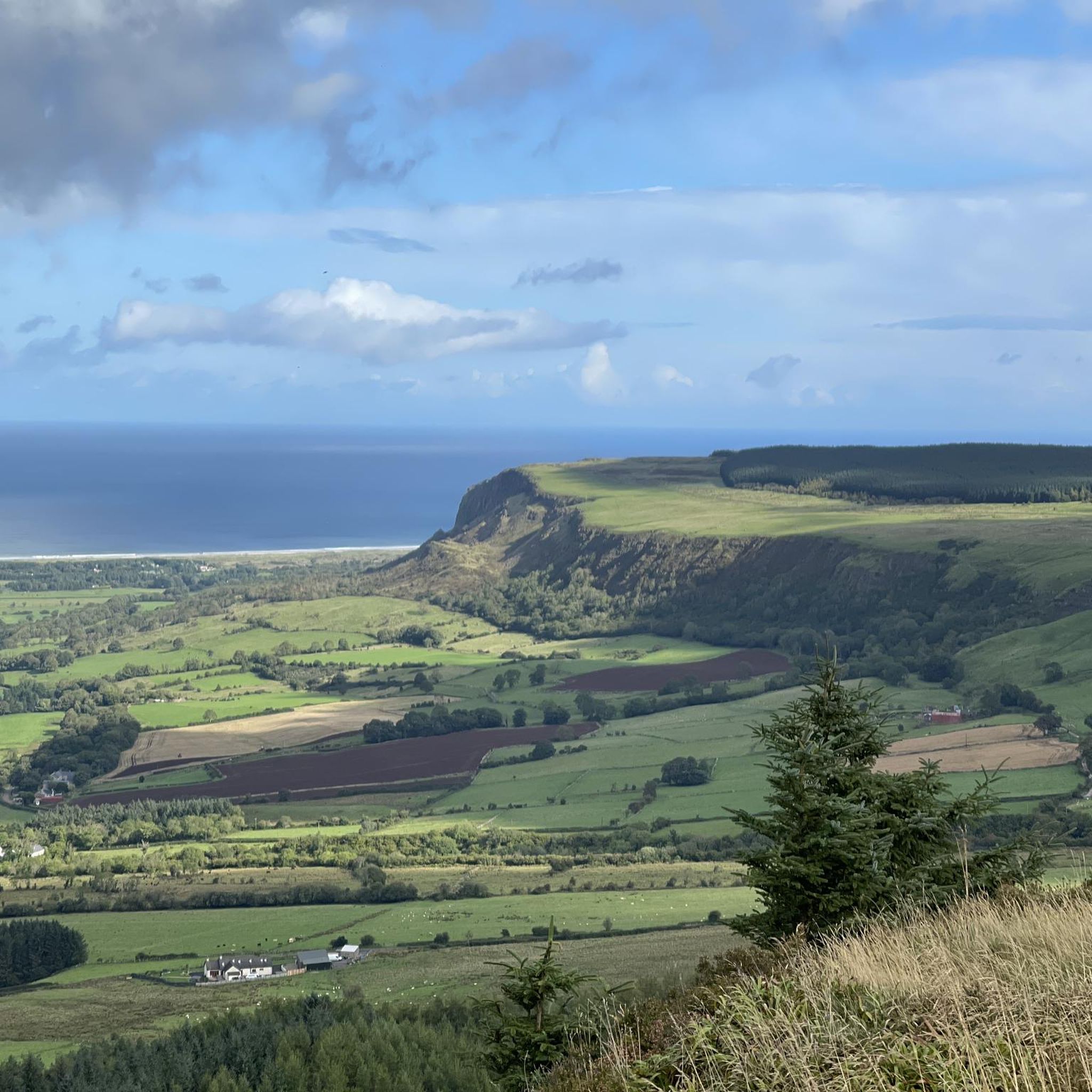
This breathtaking coastal road is part of the renowned Wild Atlantic Way, a long-distance cycling route along the west coast of Ireland. Here, you'll cycle along the northern tip of the Inishowen Peninsula, which offers magnificent coastal panoramas over to the Inish Mountains along a tranquil, winding road nestled amidst rocky outcrops and lush grass.
1
0
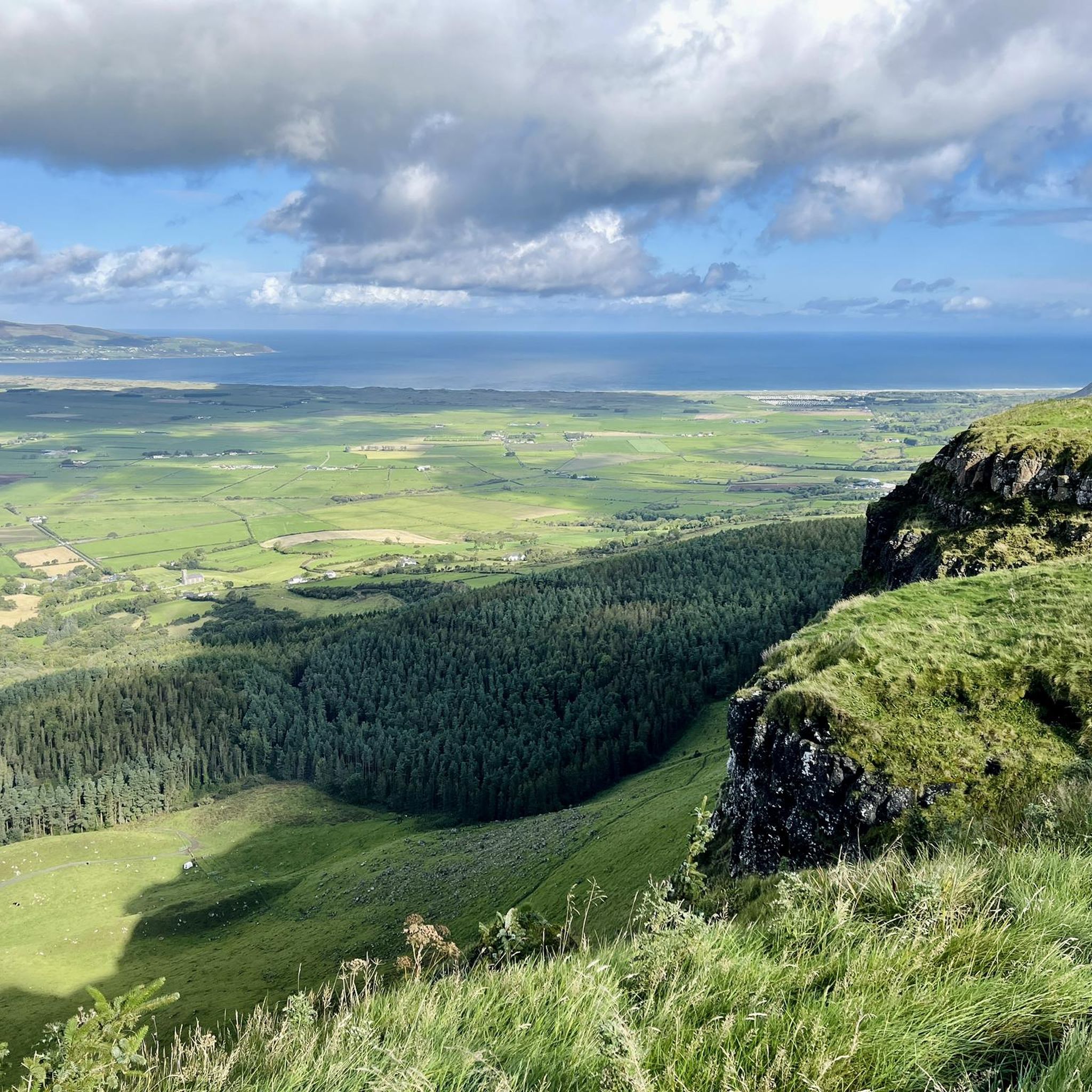
From this tiny hamlet of Lag, there's a spectacular view of the Five Fingers Strand and its impressive dunes. These soar up to 100 feet (30 m) and are amongst the highest in Europe.
1
0

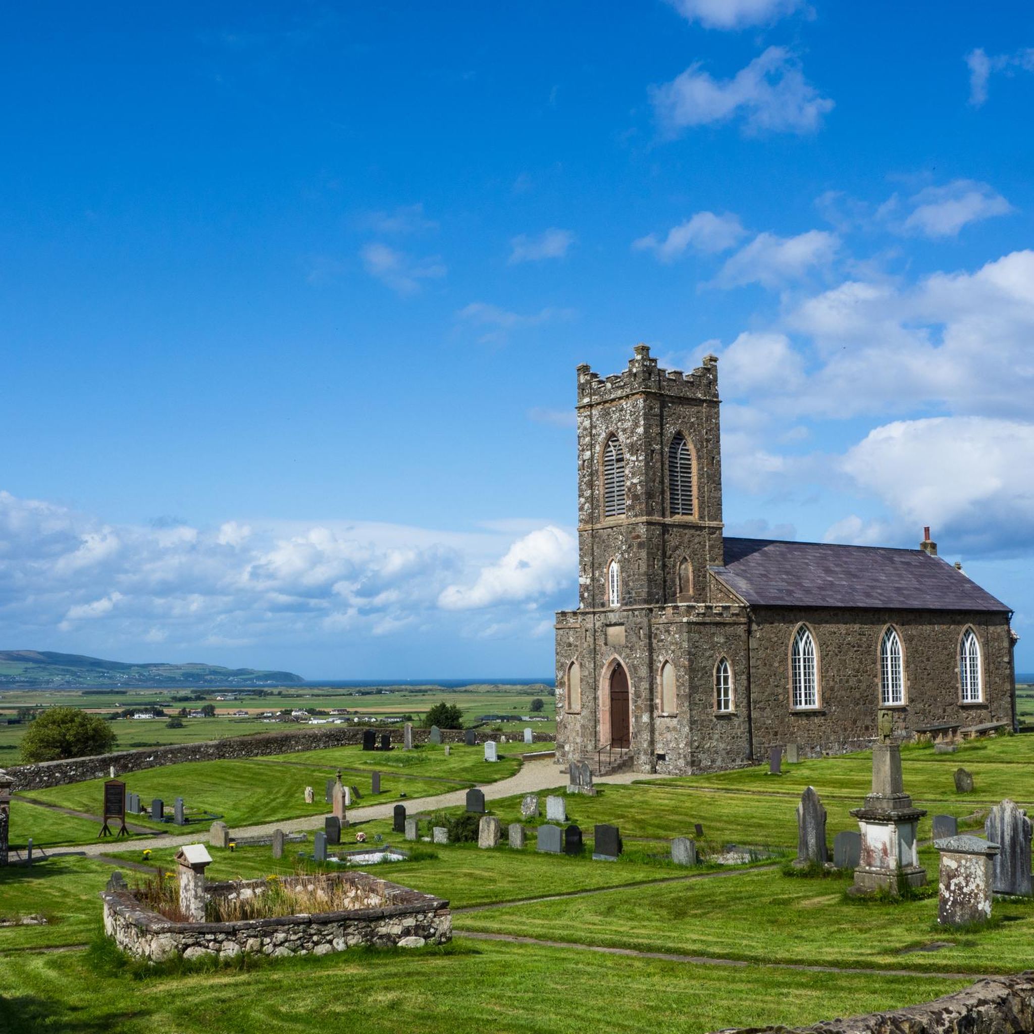
In this stretch of the road, if you look to the north, you can easily spot a beautiful building. It's the church of Tamlaghtard. Did you know that it is said to have been founded by St. Patrick?
1
0

Malin Head is the northernmost tip of Ireland and a great place to start or finish the Wild Atlantic Way. From here you can see EIRE marked out on the headland in stones. It was constructed during World War Two so pilots knew they were flying over neutral land.
1
0
Frequently Asked Questions
How many touring cycling routes are available in Lower Ballyleighery?
Lower Ballyleighery offers a selection of 7 touring cycling routes, catering to various skill levels and preferences. These routes explore the region's diverse landscapes, from coastal roads to rural paths.
Are there any easy touring cycling routes suitable for beginners or families?
Yes, Lower Ballyleighery has easy routes perfect for a relaxed ride. The Graffiti Art loop from Limavady is an easy 22.0 km path offering a unique urban and semi-rural experience. Another option is the Bike loop from Carrowclare, which is a shorter 14.0 km ride.
What are some challenging touring cycling routes for experienced riders?
For experienced touring cyclists seeking a challenge, Lower Ballyleighery offers several difficult routes. The Greencastle, Tremone Bay & Stroove Beach loop from Moville is a demanding 49.7 km trail with significant elevation changes. Another long and challenging option is the Malin Head – Mussenden Temple loop from Castlerock, spanning 127.4 km through dramatic coastal scenery.
Are there any circular touring cycling routes in Lower Ballyleighery?
Many of the touring cycling routes in Lower Ballyleighery are designed as loops, allowing you to start and finish at the same point. Examples include the Graffiti Art loop from Limavady and the Bike loop from Carrowclare, both offering convenient circular journeys.
What kind of scenery can I expect on touring cycling routes in Lower Ballyleighery?
The region's touring cycling routes offer a diverse range of scenery. You can expect stunning coastal views along the Atlantic, with routes traversing bays and beaches. Inland, paths wind through scenic countryside and rural areas, sometimes featuring unique urban elements like the Graffiti Art loop from Limavady.
What are some interesting landmarks or attractions to see along the touring cycling routes?
Several routes pass by notable landmarks and natural attractions. You might encounter historical sites like the Downhill House Ruins and the iconic Mussenden Temple. Natural highlights include viewpoints such as View from Binevenagh Summit and the serene Binevenagh Lake.
Is there good parking available near the touring cycling trails?
Parking availability varies by starting point. Many routes begin in or near towns like Limavady or Moville, where public parking options are generally available. For coastal routes, areas like Castlerock Beach often provide designated parking facilities, which can serve as convenient starting points.
What do other touring cyclists say about the routes in Lower Ballyleighery?
The touring cycling routes in Lower Ballyleighery are appreciated by the komoot community. While the number of reviews is still growing, the area has an average score of 2.0 stars. Cyclists often praise the varied terrain and the opportunity to explore both coastal and inland landscapes.
What is the best time of year to go touring cycling in Lower Ballyleighery?
The best time for touring cycling in Lower Ballyleighery is typically during the spring and summer months (May to September) when the weather is milder and daylight hours are longer. This period offers the most comfortable conditions for enjoying the coastal and rural routes. Always check local weather forecasts before heading out.
Are there any moderate touring cycling routes for intermediate riders?
Yes, intermediate riders will find suitable options. The Castlerock Beach – Mussenden Temple loop from Limavady is a moderate 53.0 km route that offers a balanced challenge with beautiful coastal views and historical points of interest.
Can I combine touring cycling with visiting natural monuments in the area?
Absolutely. Several routes offer opportunities to visit natural monuments. For instance, you can cycle near the Binevenagh Area of Outstanding Natural Beauty, which features highlights like the Binevenagh Viewpoint and the View of the North Coast from Binevenagh AONB, providing spectacular vistas.
Most popular attractions around Lower Ballyleighery

Get inspired with the komoot mobile app


Explore more
Browse the best Cycling routes in other regions.
