The best MTB trails around Edenmore
4.9
(32)
774
riders
22
rides
Mountain bike trails around Edenmore offer diverse terrain for riders seeking challenging climbs and scenic descents. The region is characterized by its proximity to the Mourne Hills and areas like Rostrevor Oakwood National Nature Reserve, providing a mix of forested paths and open mountain landscapes. Riders can expect varied elevations and natural features suitable for mountain biking. This area provides a robust network of trails for those looking to explore the natural environment on two wheels.
Best mountain bike trails…
Last updated: October 15, 2026
5.0
(2)
35
riders
16.7km
01:42
490m
490m
Moderate mountain bike ride. Good fitness required. Suitable for all skill levels.
36
riders
22.7km
02:16
590m
590m
This difficult 14.1-mile mountain biking loop from Rostrevor offers challenging climbs, technical descents, and stunning Mourne views.

48.5km
03:46
960m
960m
Hard mountain bike ride. Very good fitness required. Suitable for all skill levels.
65.9km
05:37
1,280m
1,280m
This difficult 41.0-mile mountain biking loop in the Ring of Gullion offers panoramic views and challenging terrain.
2
riders
40.3km
03:09
910m
910m
Hard mountain bike ride. Very good fitness required. Suitable for all skill levels.
Get access to more routes and recommendations from other explorers.
Already have an account?
Our route recommendations are based on thousands of hikes, rides, and runs completed by other people on komoot.
Start today with a free account
Your next adventure awaits.
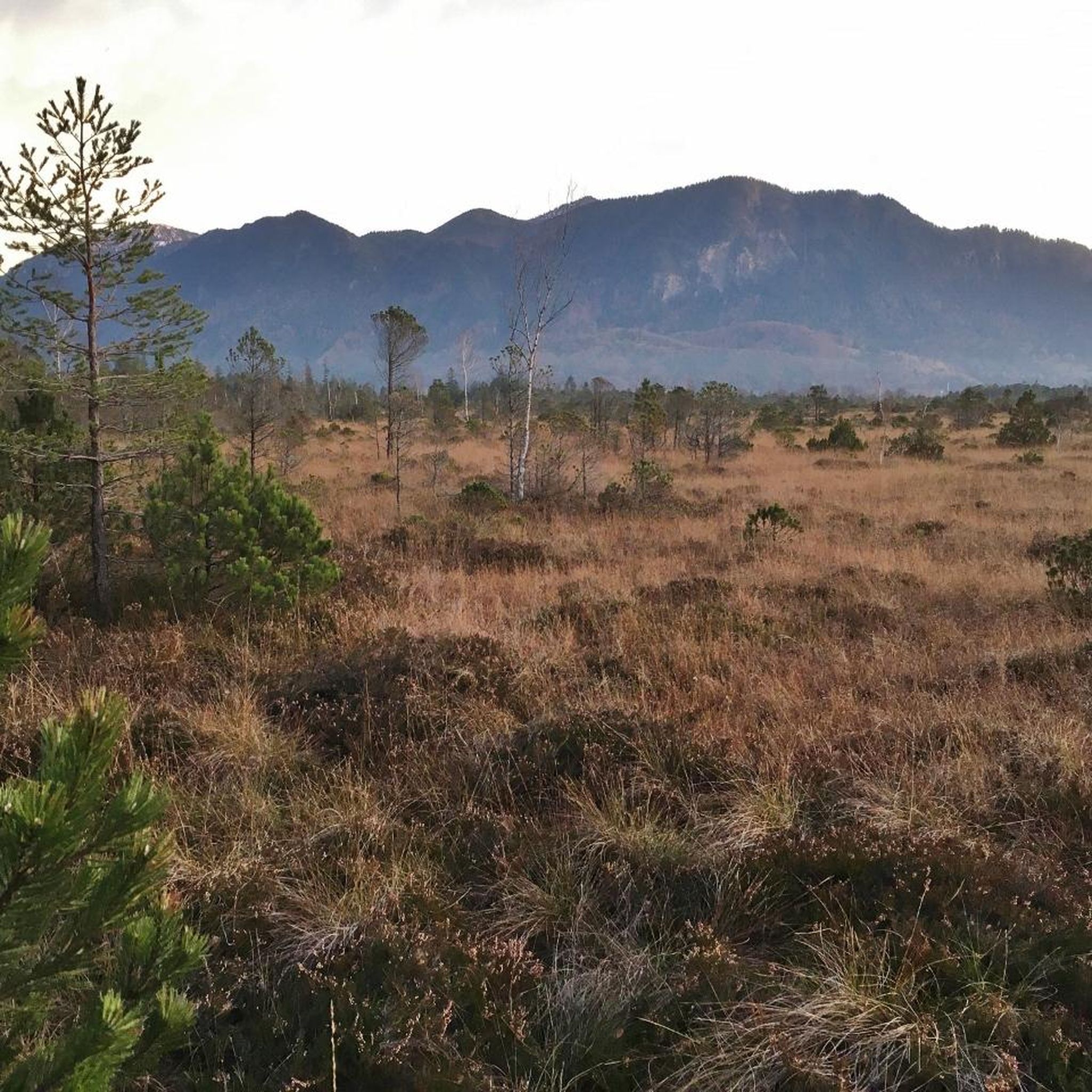
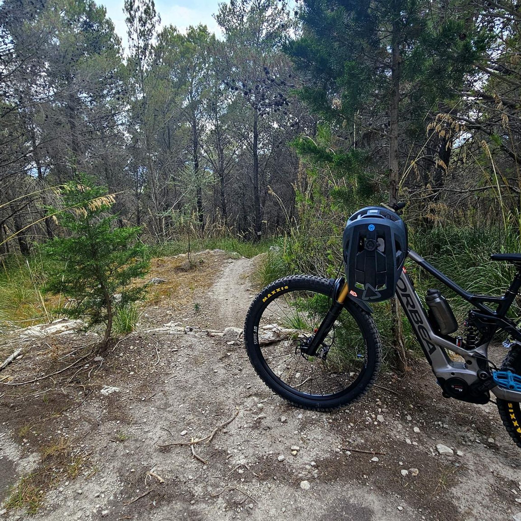


Tips from the Community

The Ring of Gullion is a circular route following off-road trails, quiet country lanes and forest tracks from Newry around the volcanic landscape of the Ring of Gullion AONB. This section follows some fun gravel trails.
0
0

Once you leave the city of Newry behind, you cycle towards tranquility on An Bealach Glas, also known as the Carlingford Lough Greenway. This flat, smoothly asphalted path follows the banks of the canal and offers spectacular views of the river's mudflats along the way, where you can spot numerous wading birds and sometimes even a stray seal. The route is a true sensory experience: the salty sea air blows towards you while the mountains seem to get closer and closer. The absolute endpoint of this section is the historic Victoria Lock, an impressive lock complex from 1850 that marks the transition from the canal to the open waters of Carlingford Lough. It is the perfect place to get some fresh air and enjoy the maritime dynamics before continuing your journey to the coast.
6
0

On the way through the Giant's Lair you will be immersed in Irish legends. As soon as you pass under the artistically carved archway, a magical world opens up in which the story of Finn McCool comes to life. The path leads you and the whole family through four chapters that bring the world of legend to life with lovingly designed stations. For the little ones it is an exciting treasure hunt - at every bend there are new clues waiting for them, which they eagerly discover. While they run ahead to find the next adventure, there is enough time for you to enjoy the lush nature. The dense trees, the mosses and the ancient carvings make you forget everyday life. You are in the middle of a story that unfolds further with every step.
1
0

The site can trace its roots back to the 6th century when a monastery for nuns was founded by St. Moninna. The ruins of the two joined churches that can still be seen date from the 11th and the 15th century. Look for the large slab which is said to be St Moninna's grave.
1
0
Here, many centuries ago, St. Moninna in the late 5th century sought a place of peace and worship and founded an early Christian community. Although no buildings from her time still stand – for they were made of wood, a testament to their humble existence – the ground itself tells stories from a bygone era. When the wind blows through the grasses, one can almost hear the echo of prayers and songs that once resonated in these sacred halls. The visible testimonies of history are the ruins of two churches. The West Church, built in the 11th century, bears the marks of a time of deep faith and cultural change. A few steps further, the East Church from the 15th century rises, a silent witness to the late medieval era, marked by religious and social transformations. Not only as a spiritual place, but also as a center of learning and community, the monastery founded here functioned. Established in 517 AD by St. Moninna, it gained a reputation as one of the most significant nunneries in medieval Ireland. It became a beacon of knowledge and devotion in a time often marked by turmoil and uncertainty.
3
0

Beautiful path surrounded by water on both sides. Incredible way to get into Newry.
1
0
Very pretty, quiet, and fun to ride!
1
0

Amazing views of Rostrevor national park and the coast from here. The trails are as good as the views too, with loads of interesting up and downhill sections. A great place to ride off-road!
0
0
Frequently Asked Questions
How many mountain bike trails are available around Edenmore?
Based on komoot data, there are over 20 mountain bike trails around Edenmore. These routes primarily range from moderate to difficult, catering to experienced riders.
What are the typical difficulty levels for mountain biking trails in Edenmore?
The mountain bike trails around Edenmore are predominantly classified as moderate to difficult. There are 14 moderate trails and 6 difficult trails, making the area well-suited for riders seeking a challenge.
Are there any beginner or family-friendly mountain bike trails in Edenmore?
The mountain bike trails around Edenmore are generally geared towards more experienced riders, with routes classified as moderate to difficult. There are no trails specifically rated as "easy" in the current selection, so families with young children or absolute beginners might find the terrain challenging.
What do other mountain bikers enjoy most about the trails in Edenmore?
The mountain bike routes in Edenmore are highly rated by the komoot community, with an average score of 4.9 stars from over 20 reviews. Riders often praise the diverse terrain, which includes forested nature reserves and challenging mountain climbs, particularly in areas like the Mourne Hills and Rostrevor Oakwood National Nature Reserve.
Are there any long-distance mountain bike loops available in Edenmore?
Yes, for those seeking longer rides, the Newry, Carnavaddy and Annaloughan Mountain loop is a challenging 40.9-mile (65.9 km) trail that takes approximately 5 hours 36 minutes to complete. Another option is the Mourne Hills loop from Hilltown, spanning 30.1 miles (48.5 km).
What kind of natural landscapes can I expect to see while mountain biking in Edenmore?
The region is characterized by its proximity to the Mourne Hills and areas like Rostrevor Oakwood National Nature Reserve. Riders can expect a mix of forested paths, open mountain landscapes, and varied elevations, offering stunning views of the surrounding natural environment.
Are there any notable landmarks or attractions along the mountain bike trails?
Yes, several interesting natural landmarks are accessible. You might encounter the Cloughmore Stone, or the summit of Hen Mountain. The Pierce's Castle climb loop from Rostrevor specifically leads towards Pierce's Castle, a natural monument.
Can I find trails that offer views of lakes or water bodies?
While mountain biking, you can find routes that offer scenic views of water bodies. For instance, you might encounter views of Carlingford Lough from various points, such as the View of Carlingford Lough from Mourne AONB or the View of Carlingford Lough from Rostrevor Road. There are also smaller lakes like Bessbrook Pond in the vicinity.
Which trail is a popular choice for mountain bikers in Edenmore?
A highly popular choice among mountain bikers is the Rostrevor trails park loop – Rostrevor Oakwood National Nature Reserve. This moderate 10.4-mile (16.7 km) route winds through the natural reserve, offering a mix of forest and open sections.
Are there any challenging climbs for advanced mountain bikers?
Absolutely. For advanced riders seeking significant elevation gain and challenging terrain, the Pierce's Castle climb loop from Rostrevor is a difficult 14.1-mile (22.7 km) path that leads through demanding mountain terrain with rewarding views.
What is the longest mountain bike trail in the Edenmore area?
The longest mountain bike trail listed is the Newry, Carnavaddy and Annaloughan Mountain loop, which covers 40.9 miles (65.9 km) and typically takes around 5 hours 36 minutes to complete.
Most popular attractions around Edenmore

Get inspired with the komoot mobile app


Explore more
Browse the best MTB trails in other regions.
