The best mountain hikes around Bad Soden am Taunus
4.8
(10)
48
hikers
28
hikes
Mountaineering routes around Bad Soden am Taunus traverse the forested slopes and prominent peaks of the Taunus mountains. The region is characterized by rolling hills, dense woodlands, and open ridgelines, offering varied terrain for ascents and descents. Notable features include the summits of Altkönig and Großer Feldberg, providing elevated viewpoints across the landscape.
Best mountaineering routes around Bad Soden am Taunus
- The most popular mountaineering route is Altkönig Summit Sign – Emminghaus Hut loop from Waldwiesenbachtal von Oberhöchstadt, a…
Last updated: July 2, 2026
4.7
(3)
8
hikers
17.5km
05:34
700m
700m
Hard mountaineering route. Very good fitness required. Mostly accessible paths. Sure-footedness required.
2
hikers
Moderate mountaineering route. Good fitness required. Mostly accessible paths. Sure-footedness required.

Sign up for free
4.5
(2)
6
hikers
Hard mountaineering route. Very good fitness required. Mostly accessible paths. Sure-footedness required.
Moderate mountaineering route. Good fitness required. Mostly accessible paths. Sure-footedness required.
6
hikers
Moderate mountaineering route. Good fitness required. Mostly accessible paths. Sure-footedness required.
Get access to more routes and recommendations from other explorers.
Sign up for free
Already have an account?
Our route recommendations are based on thousands of hikes, rides, and runs completed by other people on komoot.
Start today with a free account
Your next adventure awaits.
Login or Signup
Popular around Bad Soden am Taunus

Delightfully scenic hiking in the Taunus range

Orchards, vineyards, taverns – hikes in the RMV area
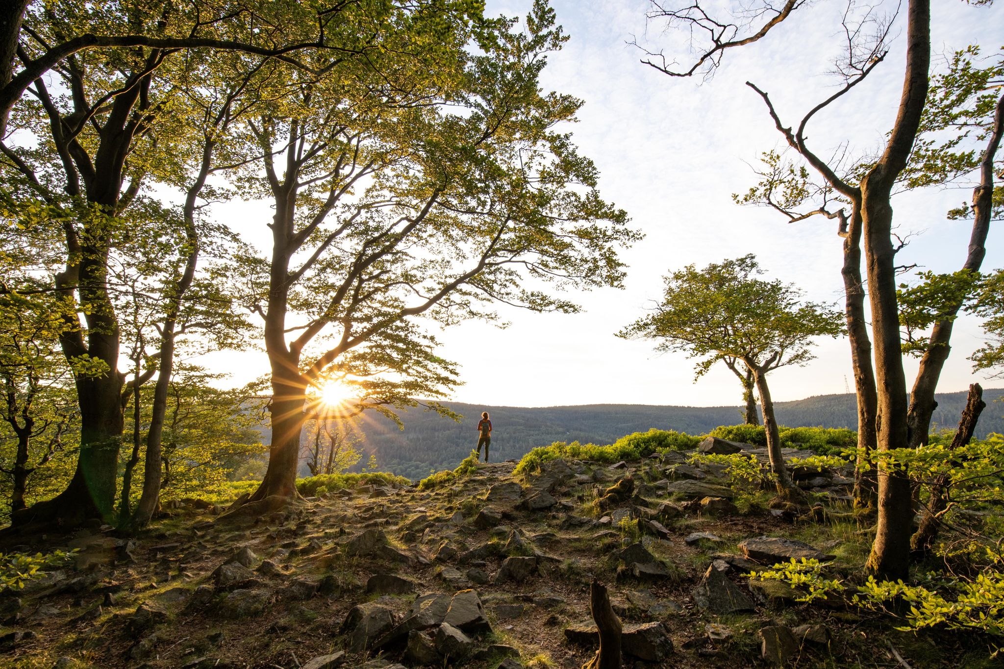
Deep valleys and airy heights – the most beautiful hikes in the Taunus in Germany
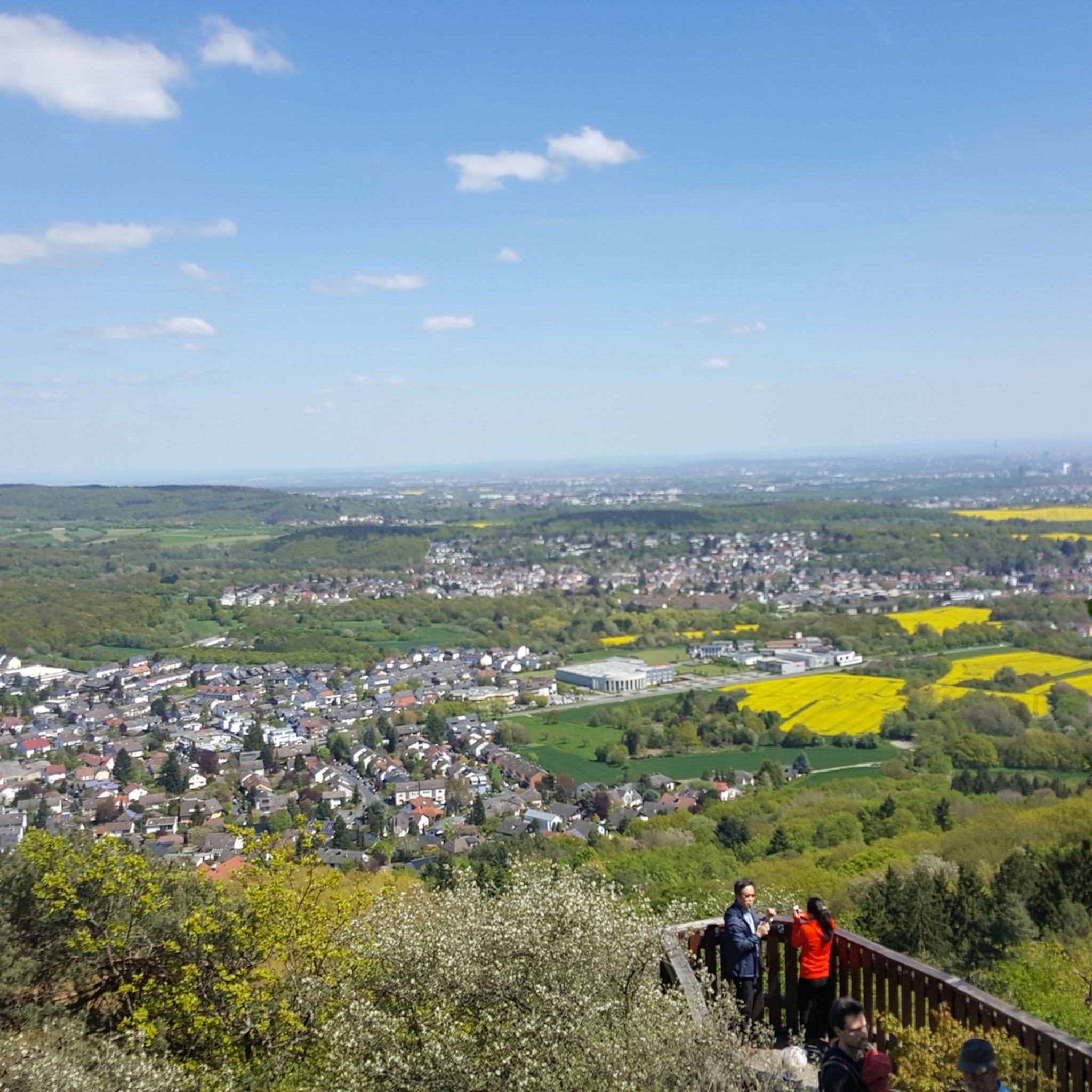
Hiking around Bad Soden am Taunus
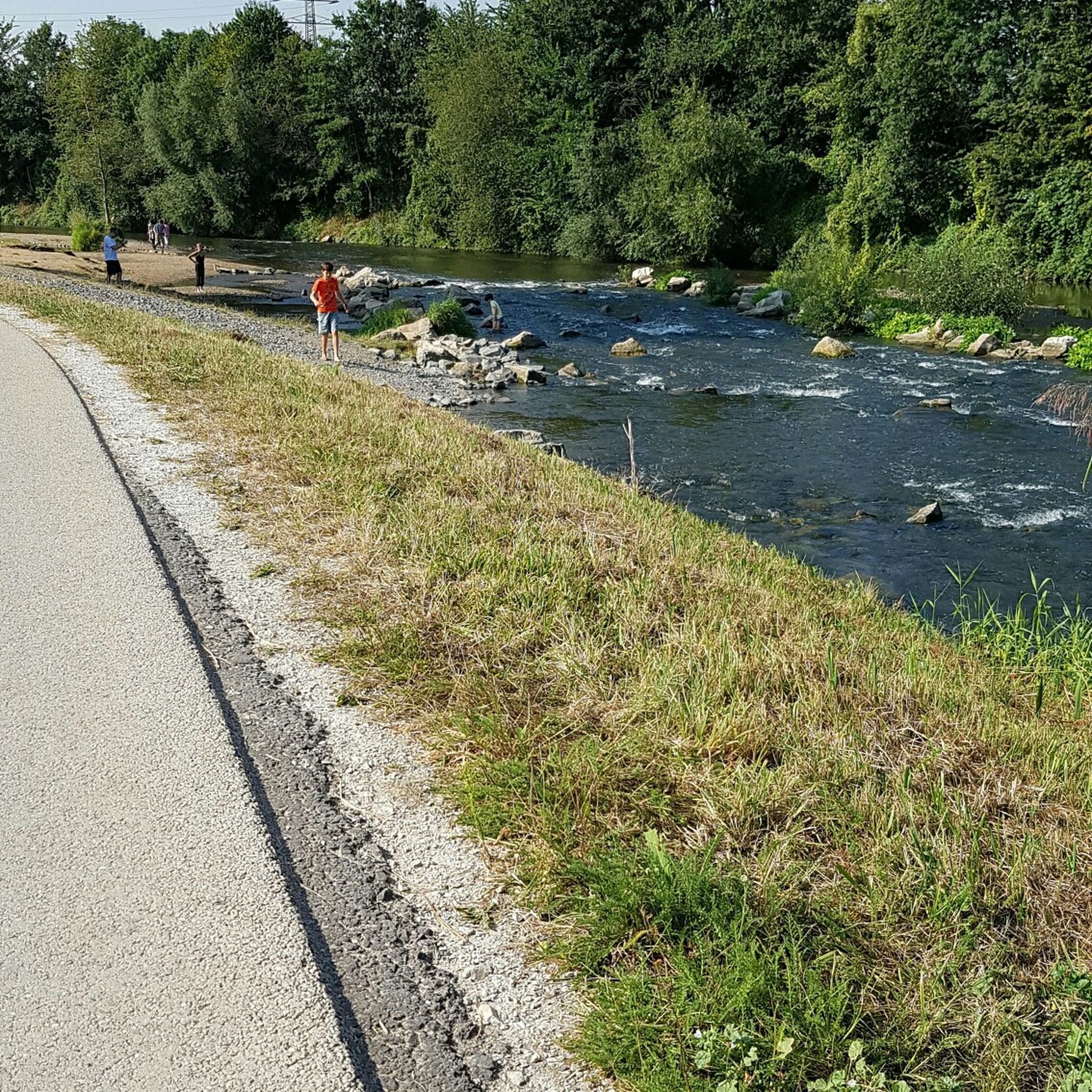
Cycling around Bad Soden am Taunus
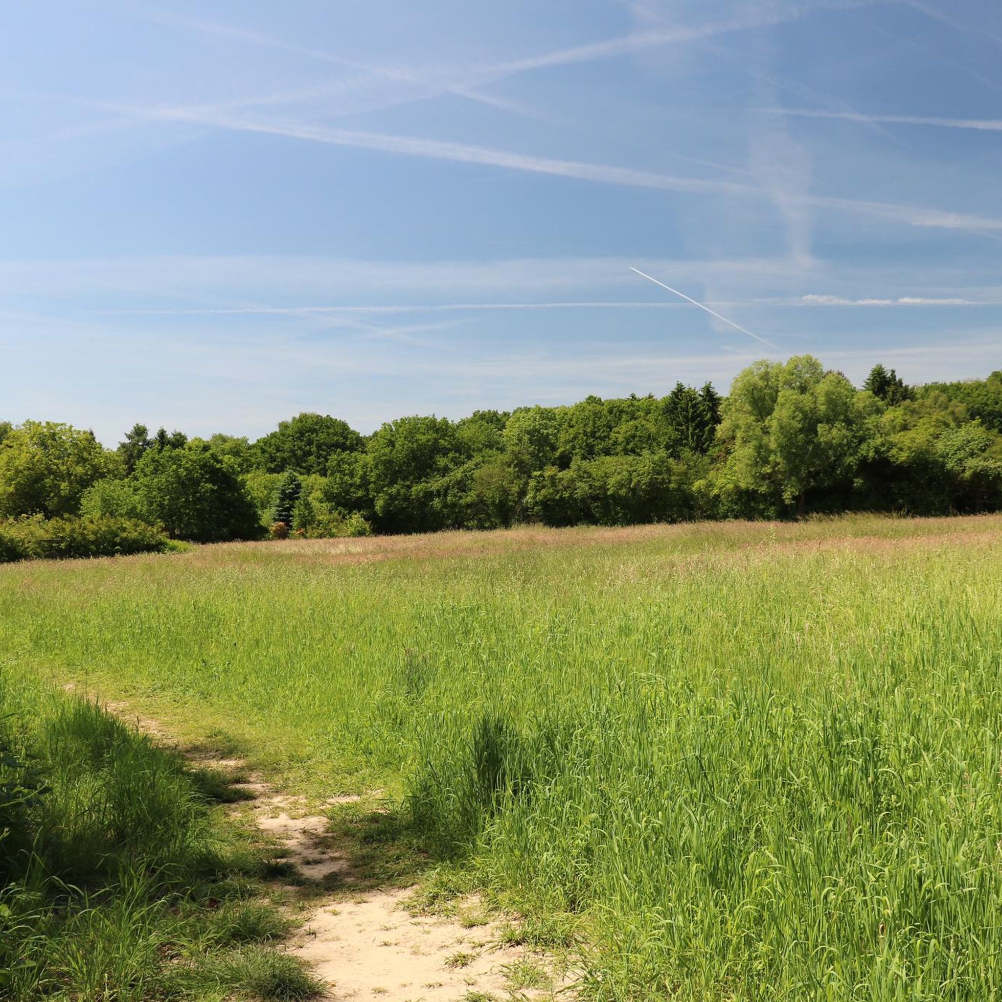
Running Trails around Bad Soden am Taunus
Road Cycling Routes around Bad Soden am Taunus
MTB Trails around Bad Soden am Taunus
Gravel biking around Bad Soden am Taunus
Other adventures around Bad Soden am Taunus


Tips from the Community

Nice little break spot. Many illegal fire pits
0
0

Today I saw the new summit cross. ⛰️
1
0

The White Wall in the Taunus Mountains is a quartzite field formed during the Ice Age on the Altkönig mountain by frost weathering. It lies at a maximum elevation of 634 meters above sea level [1] near Oberursel in the Hochtaunus district of Hesse. The area is designated as a nature reserve 🤩
14
0
Lots of rubble but worth seeing.
1
0

Simply wonderful and delicious climb 😜
1
0
Sneakers not recommended, surefootedness and stability are required here 🤗
1
1

Here you go up to the Altkönig Very nice hiking trail
1
0
Frequently Asked Questions
How many mountaineering routes are available around Bad Soden am Taunus?
There are over 30 mountaineering routes around Bad Soden am Taunus, offering a variety of experiences from easy strolls to challenging ascents. The majority are moderate, with 24 routes falling into this category, alongside 7 difficult and 1 easy option.
Are there any easy mountaineering routes suitable for beginners near Bad Soden am Taunus?
While most routes are moderate to difficult, the Taunus region does offer some less strenuous options. For a gentler introduction to mountaineering in the area, look for routes with minimal elevation gain and shorter distances. You can filter routes by difficulty on komoot to find the best fit for your experience level.
What are some challenging mountaineering routes for experienced hikers in the Taunus mountains?
For experienced mountaineers seeking a challenge, routes like the Großer Feldberg Summit – Altkönig Ringwall loop from Königstein im Taunus offer significant elevation gain and expansive views over 18.6 km. Another demanding option is the Anita's Fuchstanz – Großer Feldberg Summit loop from Hohemark, which covers 21.5 km with considerable ascent.
Are there circular mountaineering routes in the Bad Soden am Taunus area?
Yes, many mountaineering routes in the Taunus are designed as loops, allowing you to start and end at the same point. An example is the Altkönig Ringwall – Altkönig Summit loop from Hohemark, which offers a scenic 10.9 km circular journey.
What kind of geological features can be observed along the mountaineering routes?
The Taunus mountains are known for their ancient geological formations. Along the routes, you can encounter prominent peaks like Altkönig and Großer Feldberg, as well as ancient ringwalls. Keep an eye out for natural rock formations such as Brunhildis Rock (Großer Feldberg), which adds to the natural beauty of the trails.
Are there any family-friendly mountaineering options around Bad Soden am Taunus?
While mountaineering routes can be demanding, some sections of the Taunus are suitable for families. Look for shorter, less steep trails, especially those that lead to interesting viewpoints or attractions. Consider routes that pass by places like Anita's Fuchstanz, which offers a place to rest and refuel.
What is the best season for mountaineering in the Taunus mountains?
The Taunus mountains offer great mountaineering opportunities throughout the year. Spring brings blooming flora, summer provides lush green forests, and autumn showcases vibrant fall foliage. Winter can be beautiful but requires appropriate gear for potentially icy or snowy conditions. Always check weather forecasts before heading out.
What are some notable viewpoints or attractions along the mountaineering routes?
The routes often lead to stunning viewpoints and interesting landmarks. You can enjoy the View of Großer Feldberg from Altkönig, reach the Großer Feldberg Summit itself, or visit the Großer Mannstein (Staufenschwur Lookout) for panoramic vistas of the surrounding landscape.
Are there places to eat or drink near the mountaineering trails?
Yes, you'll find various spots to take a break and refuel. For example, Anita's Fuchstanz is a popular restaurant located directly on some of the trails, offering refreshments and meals. Other routes may pass through villages with cafes or pubs.
What do other mountaineers enjoy most about the routes in Bad Soden am Taunus?
The mountaineering routes around Bad Soden am Taunus are highly rated by the komoot community, with an average score of 4.9 stars. Reviewers often praise the diverse terrain, the well-maintained paths, and the rewarding views from prominent peaks like Altkönig and Großer Feldberg.
Are the mountaineering routes in the Taunus mountains accessible by public transport?
Many starting points for mountaineering routes in the Taunus are accessible via public transport, particularly bus lines connecting from Bad Soden am Taunus or nearby towns like Königstein im Taunus. It's advisable to check local public transport schedules for specific route access points.
Are there dedicated parking facilities for mountaineers at the trailheads?
Yes, many popular trailheads in the Taunus mountains, especially those leading to major peaks like Großer Feldberg and Altkönig, offer designated parking areas. It's recommended to arrive early during peak seasons to secure a spot.
What should I wear for mountaineering in the Taunus in autumn?
In autumn, the Taunus weather can be changeable. It's best to wear layers, including a moisture-wicking base layer, an insulating mid-layer, and a waterproof and windproof outer shell. Sturdy hiking boots with good ankle support are essential, and consider bringing gloves and a hat for cooler temperatures, especially at higher elevations.
Most popular routes around Bad Soden am Taunus
Most popular attractions around Bad Soden am Taunus

Get inspired with the komoot mobile app


Explore more
Browse the best Mountain Hikes & Routes in other regions.
