The best walks and hikes around Lurganville
4.6
(13)
570
hikers
13
hikes
Hiking around Lurganville offers accessible paths through urban parklands and along lough shores. The region features a blend of mature woodlands, open grassland, and man-made lakes, providing varied terrain for outdoor activities. Trails are generally flat, catering to a wide range of fitness levels. The area's natural features include expansive parks and waterside routes.
Best hiking trails around Lurganville
- The most popular hiking route is Hillsborough Forest Park loop, a 3.1 miles (4.9 km) trail that takes 1 hour…
Last updated: June 27, 2026
4.0
(1)
28
hikers
4.93km
01:18
40m
40m
Easy hike. Great for any fitness level. Easily-accessible paths. Suitable for all skill levels.
67
hikers
Easy hike. Great for any fitness level. Easily-accessible paths. Suitable for all skill levels.

Sign up for free
25
hikers
4.65km
01:13
30m
30m
Easy hike. Great for any fitness level. Easily-accessible paths. Suitable for all skill levels.
5.0
(4)
18
hikers
Moderate hike. Good fitness required. Easily-accessible paths. Suitable for all skill levels.
5.0
(1)
15
hikers
5.15km
01:18
10m
10m
Easy hike. Great for any fitness level. Easily-accessible paths. Suitable for all skill levels.
Get access to more routes and recommendations from other explorers.
Sign up for free
Already have an account?
Our route recommendations are based on thousands of hikes, rides, and runs completed by other people on komoot.
Start today with a free account
Your next adventure awaits.
Login or Signup


Tips from the Community

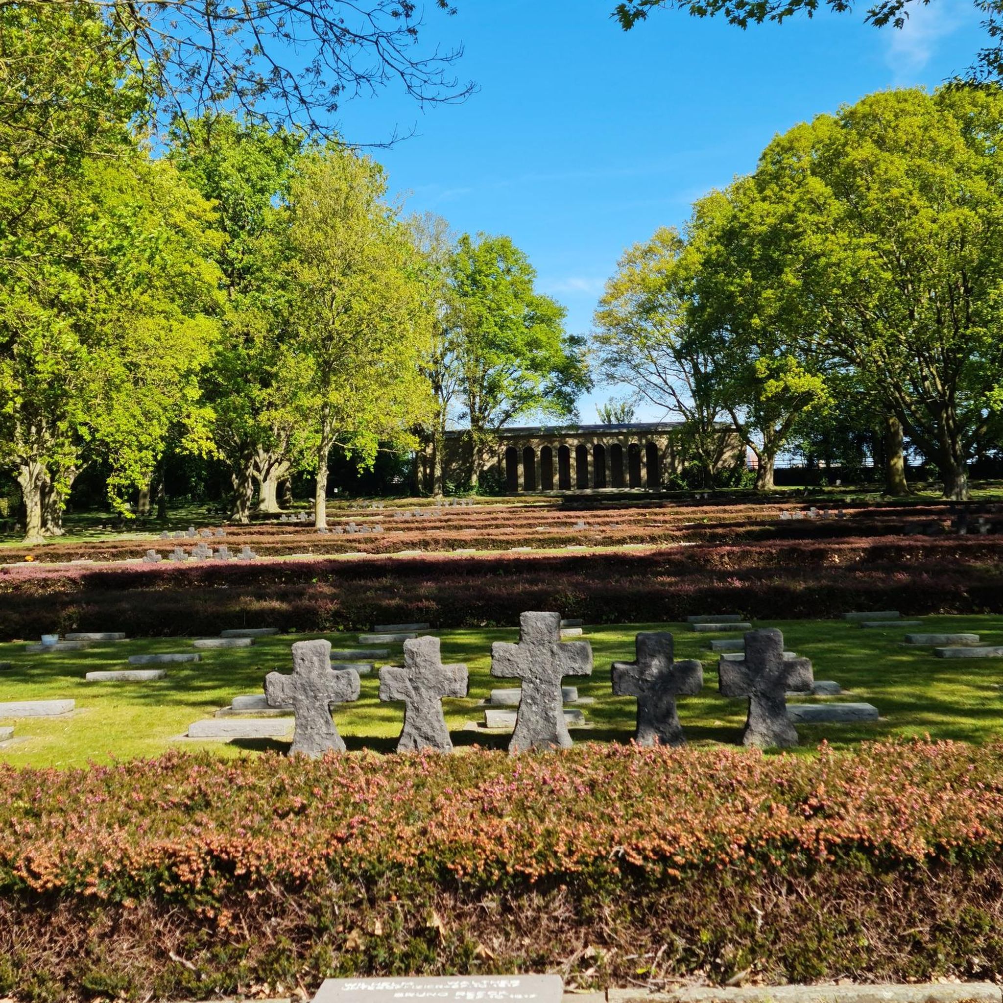
The Castle has over 100 acres of ornamental lawns, peaceful woodlands and picturesque glens to discover. Dogs are not permitted within the gardens and café unless they are trained assistance dogs.
0
0

Hillsborough Forest Park, nestled in the picturesque Georgian village of Hillsborough, enchants with its serene beauty. A haven for nature lovers, it boasts ancient woodlands, picturesque lakes, and historic gardens. The park offers scenic trails, diverse wildlife, and a tranquil atmosphere, making it a perfect escape.
2
0
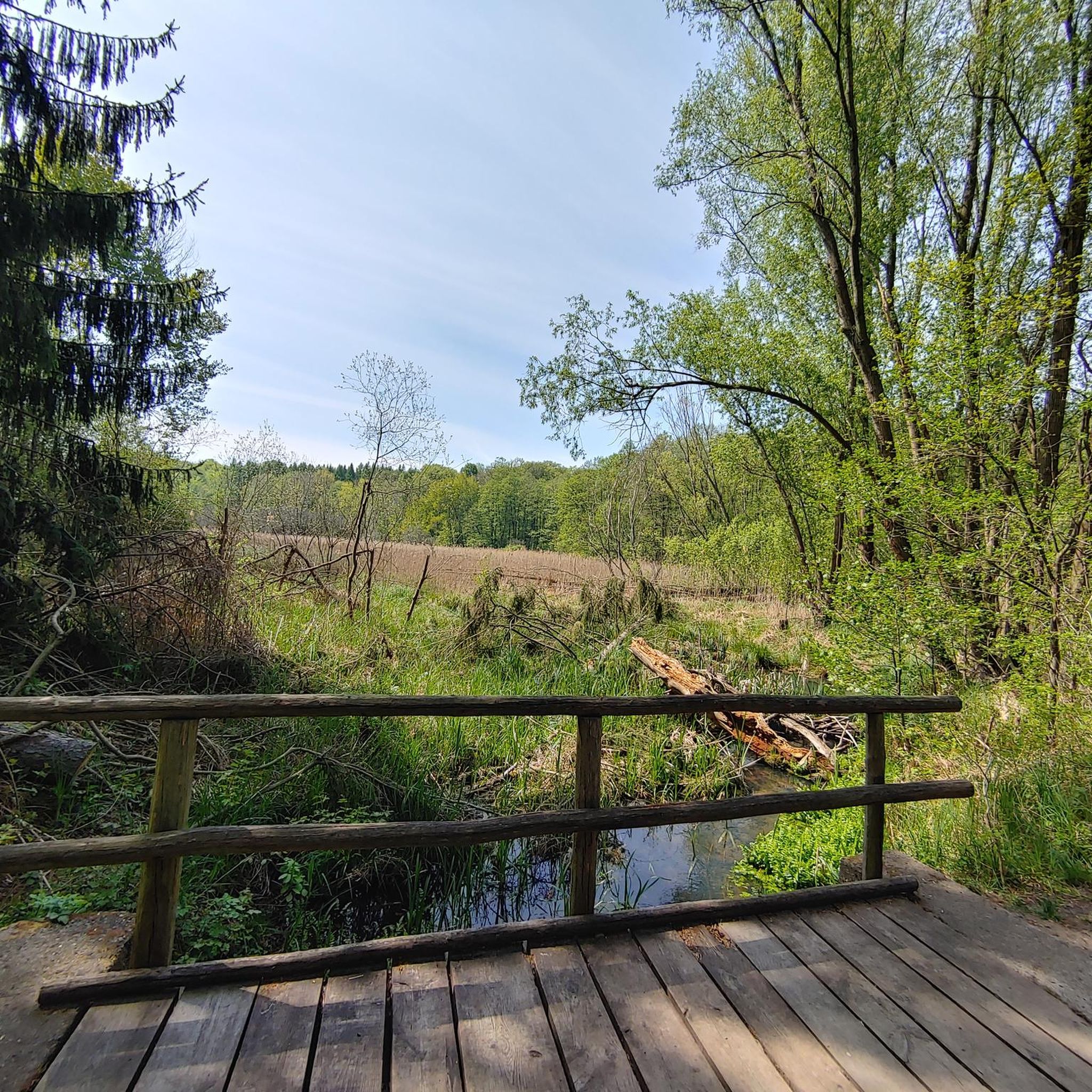
This meandering bicycle path glides on through from the station, you get a chance to catch a moment, get into your rhythm by the waters edge.
1
0
Frequently Asked Questions
How many hiking trails are available in the Lurganville area?
There are over 15 hiking routes available around Lurganville, offering a variety of experiences for different preferences and fitness levels.
What is the general difficulty level of hiking trails in Lurganville?
The hiking trails in Lurganville are generally accessible, with 12 out of 15 routes classified as easy and 3 as moderate. This makes the area suitable for a wide range of hikers, including families and those seeking leisurely strolls.
What kind of landscapes can I expect to see while hiking around Lurganville?
Hiking around Lurganville offers diverse landscapes, including expansive urban parklands, mature woodlands, and tranquil paths along lough shores and man-made lakes. You'll find a blend of open grassland and natural features, providing varied scenery for outdoor activities.
Are there any circular walks available in Lurganville?
Yes, many of the trails in Lurganville are circular. For example, the Broad Water Cycle Path – Broad Water Riverside Path loop from Moira offers a moderate 10 km circular route, while the Broad Water Cycle Path loop from Moira is an easier 5 km option.
Are the hiking trails in Lurganville suitable for families?
Yes, the Lurganville area is very family-friendly. Many trails feature accessible and often flat paths through parks and along lakes, making them ideal for outings with children. The region's urban parks often include playgrounds and recreational amenities.
What natural features or landmarks can I explore on hikes near Lurganville?
You can explore several notable natural features and landmarks. The Lurgan Park Lake is a prominent feature within the largest urban park in Northern Ireland. Additionally, you can visit historic sites like Hillsborough Castle, or explore the Broad Water Cycle Path.
What do other hikers say about the trails in Lurganville?
The trails in Lurganville are highly rated by the komoot community, with an average score of 4.7 stars from over 10 reviews. Hikers often praise the well-maintained paths, the tranquil atmosphere of the woodlands, and the scenic views along the lough shores and parklands.
What is the best time of year to go hiking in Lurganville?
Lurganville offers enjoyable hiking year-round. In spring, the woodlands, particularly in Lurgan Park, are known for their bluebells. Autumn provides beautiful scenery with the changing colors of the oak trees. The accessible nature of the paths makes them suitable for most weather conditions.
Are there any dog-friendly walks in the Lurganville area?
Many of the parks and trails in Lurganville are dog-friendly, allowing you to enjoy walks with your canine companion. It's always recommended to keep dogs on a leash and clean up after them to ensure a pleasant experience for all visitors.
Is parking available at the trailheads in Lurganville?
Yes, parking is generally available at key access points for the hiking trails in Lurganville, especially at larger parks like Lurgan Park and near attractions such as Hillsborough Castle. Specific parking details can often be found on individual route pages.
Can I reach hiking trails in Lurganville using public transport?
Lurganville and its surrounding areas are generally accessible by public transport, with bus services connecting to various points. For specific trailheads, it's advisable to check local bus routes and schedules to plan your journey effectively.
Are there any trails that offer waterside views?
Absolutely. The region is characterized by its lough shores and man-made lakes. You can enjoy waterside views along the Lurgan Park Lake, and trails around the Craigavon Lakes and Oxford Island National Nature Reserve also provide scenic routes by the water.
Most popular attractions around Lurganville

Get inspired with the komoot mobile app


Explore more
Browse the best Hikes in other regions.
