The best mountain hikes around Bad Homburg vor der Höhe
4.9
(12)
48
hikers
27
hikes
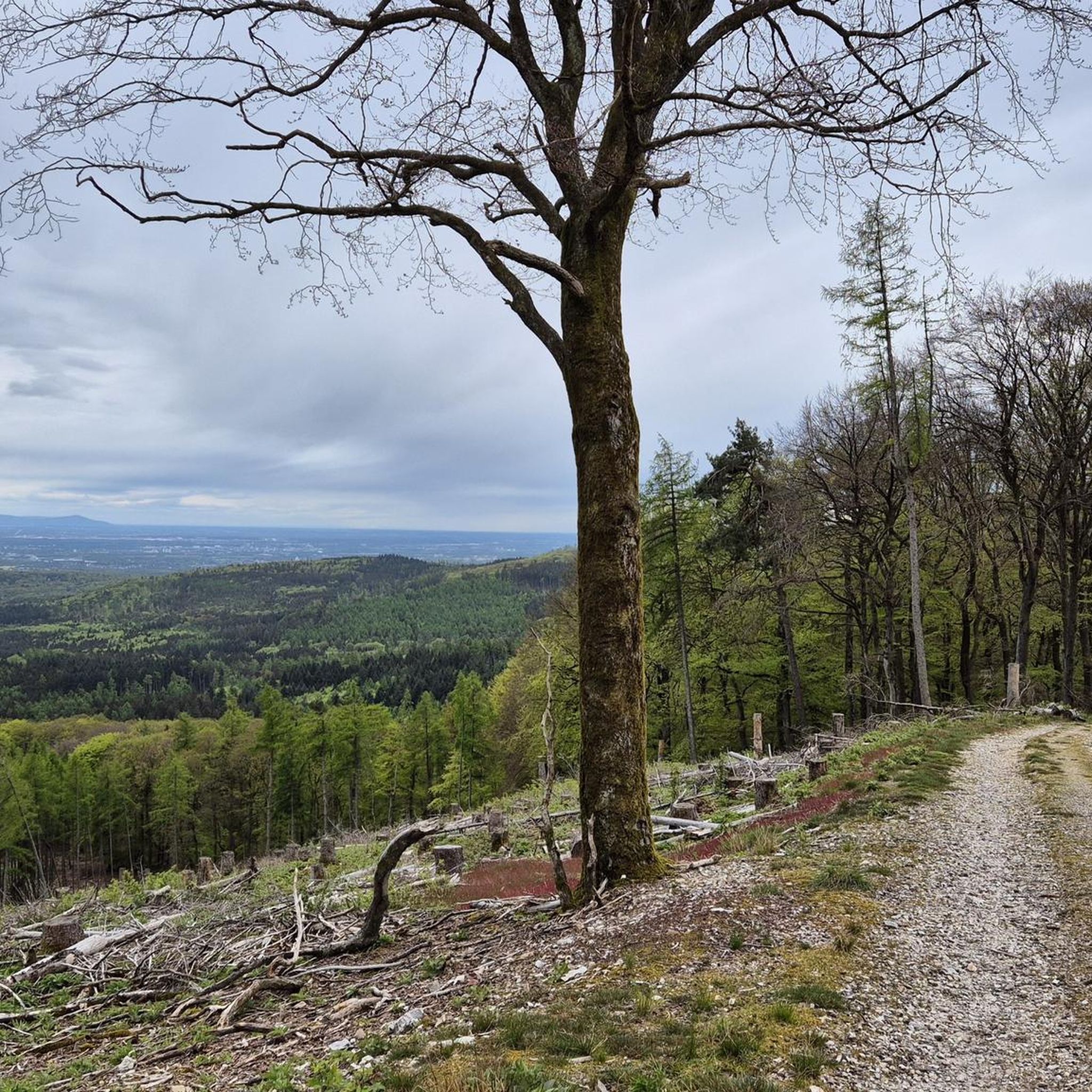
Mountaineering around Bad Homburg vor der Höhe offers a diverse landscape within the Taunus mountain range. The region is characterized by forested hills, deep valleys, and prominent peaks such as the Altkönig and Großer Feldberg. These natural features provide varied terrain suitable for different mountaineering experiences. The area's geology contributes to a mix of challenging climbs and more accessible paths through dense woodlands.
Best mountaineering routes around Bad Homburg vor der Höhe
- The most popular mountaineering route is Altkönig Summit…
Last updated: October 18, 2026
4.7
(3)
8
hikers
17.6km
05:35
700m
700m
Hard mountaineering route. Very good fitness required. Mostly accessible paths. Sure-footedness required.
2
hikers
Moderate mountaineering route. Good fitness required. Mostly accessible paths. Sure-footedness required.

1
hikers
Moderate mountaineering route. Good fitness required. Mostly accessible paths. Sure-footedness required.
5.0
(2)
4
hikers
Moderate mountaineering route. Good fitness required. Mostly accessible paths. Sure-footedness required.
6
hikers
Moderate mountaineering route. Good fitness required. Mostly accessible paths. Sure-footedness required.
Get access to more routes and recommendations from other explorers.
Already have an account?
Our route recommendations are based on thousands of hikes, rides, and runs completed by other people on komoot.
Start today with a free account
Your next adventure awaits.
Popular around Bad Homburg vor der Höhe

Delightfully scenic hiking in the Taunus range
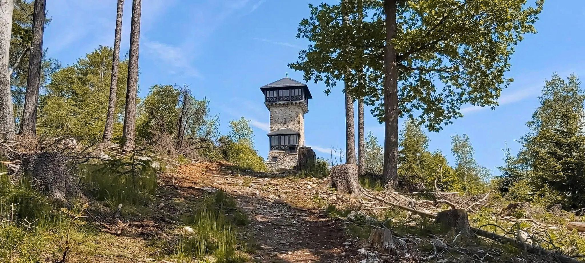
Autumn views: to the most beautiful vantage points in the RMV area
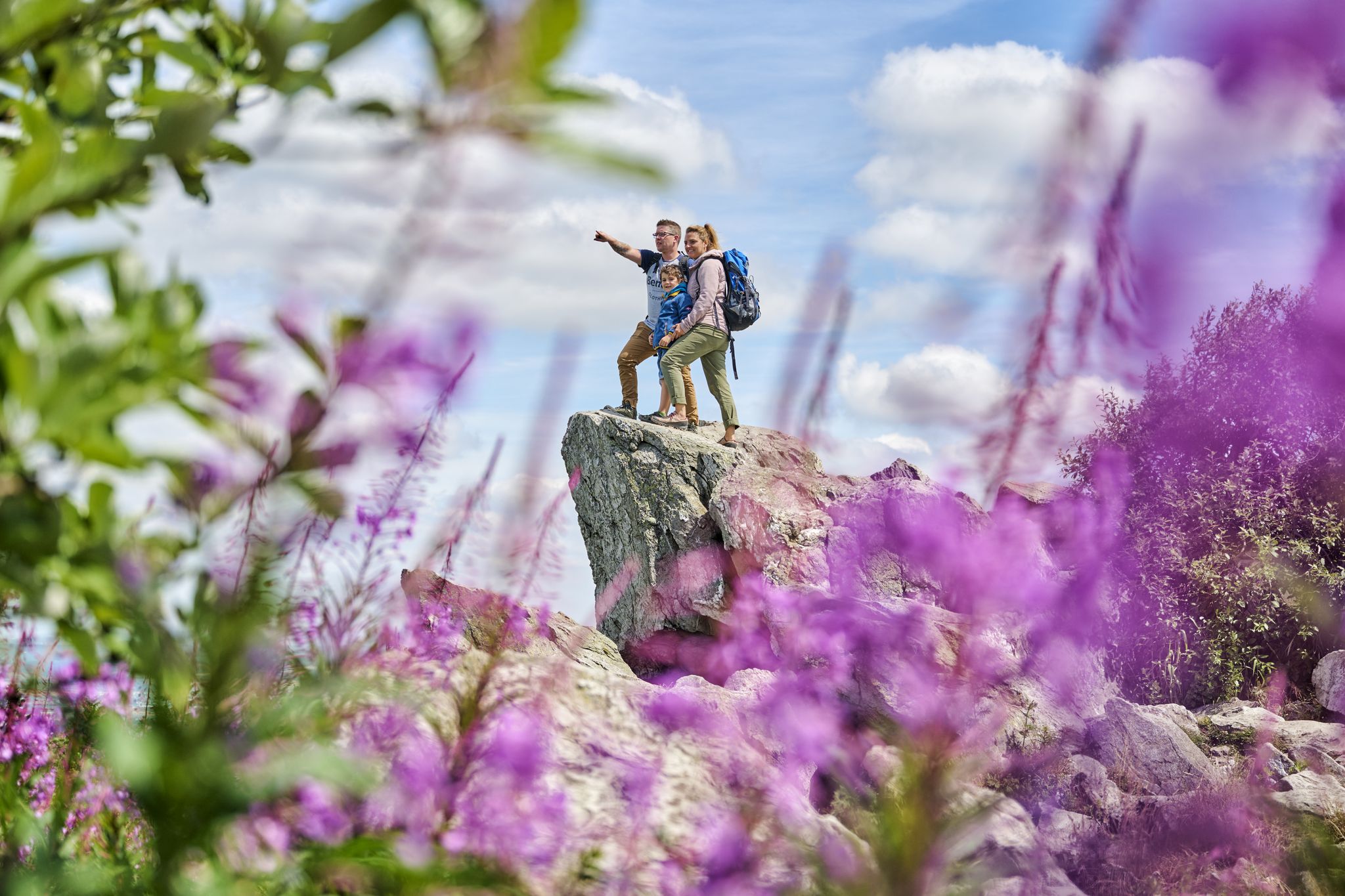
History, forest and gnomes – hiking in Germany’s Hochtaunus region
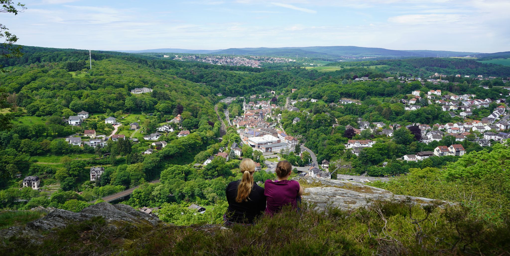
Exploring nature — hikes in Germany’s Taunus Mountains
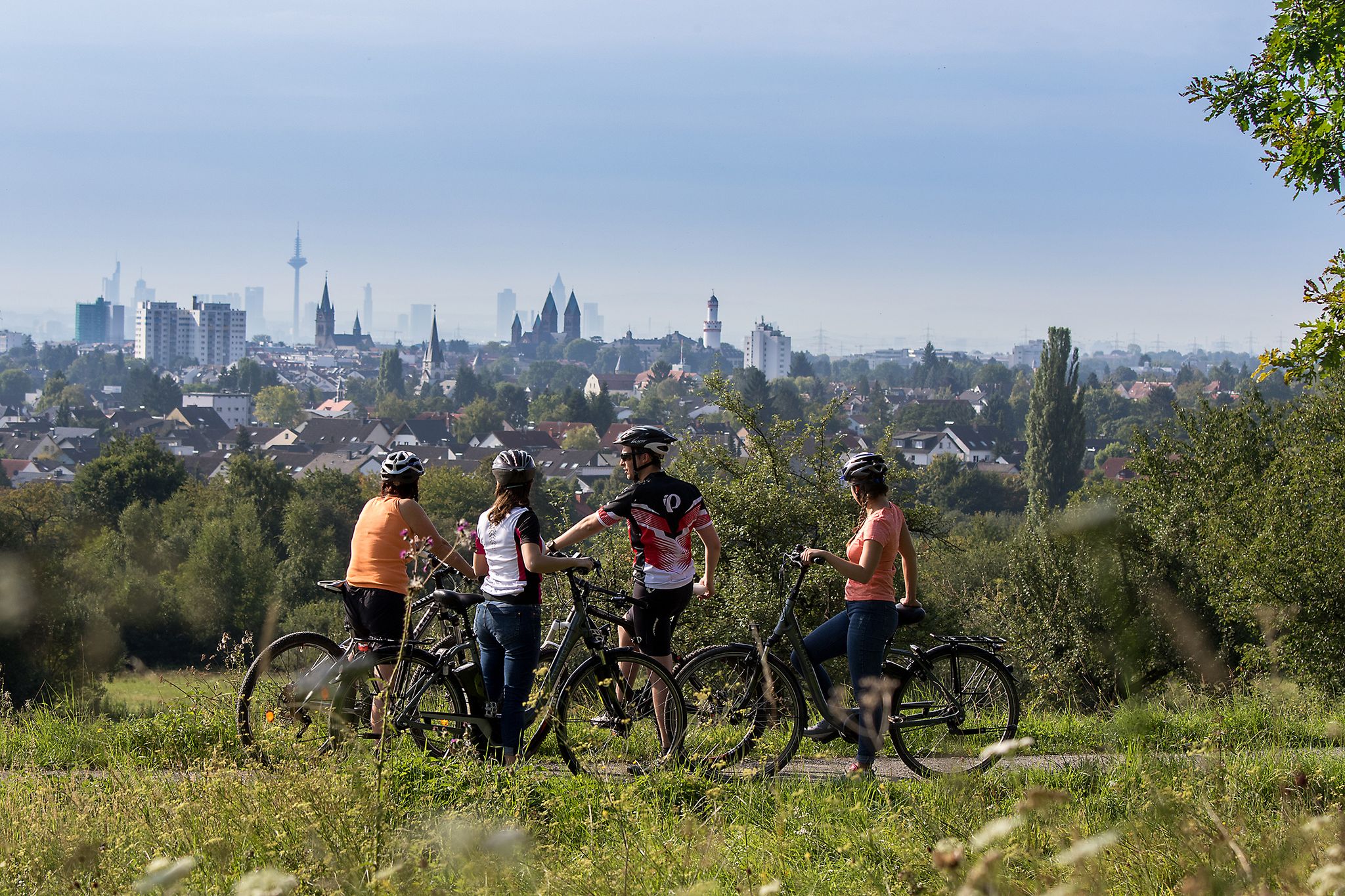
From safari to world heritage — cycling tours in the Taunus region
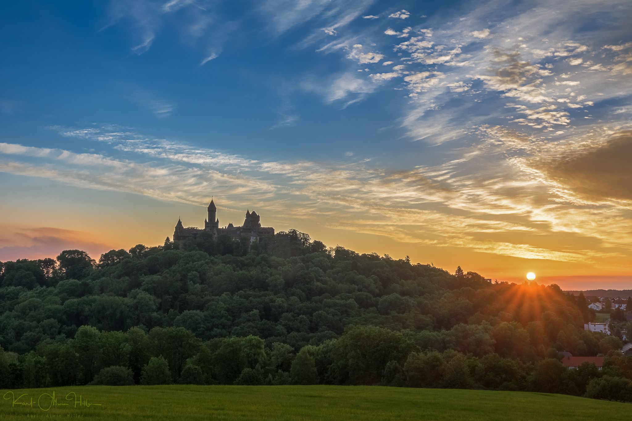
A journey through time – the most beautiful routes in the Taunus Nature Park
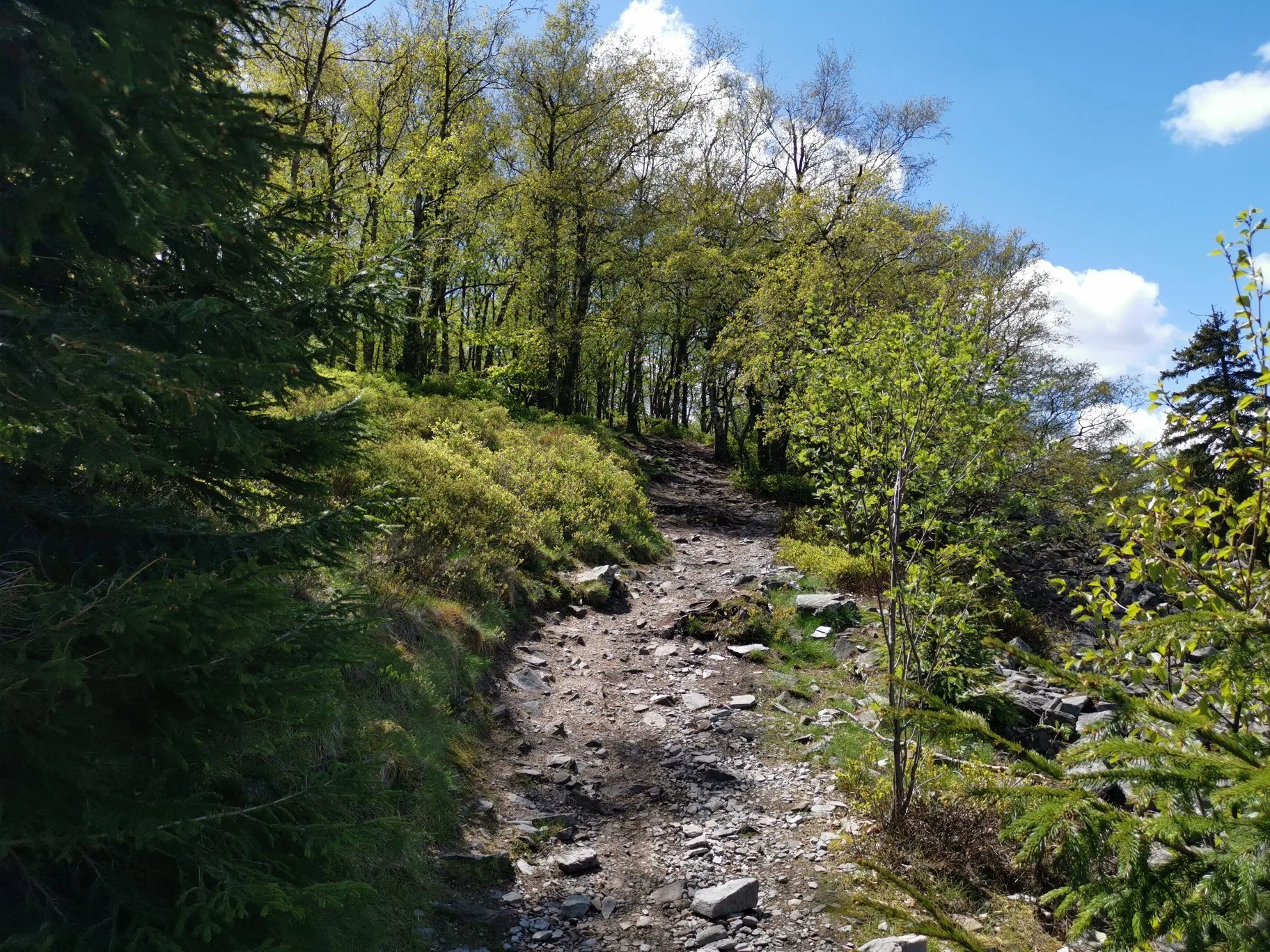
Autumn hikes around Frankfurt
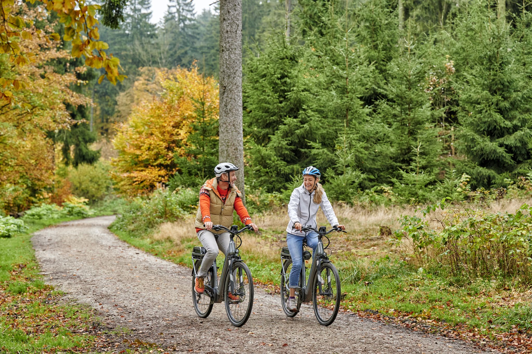
Radfahren im Taunus – Auspowern, genießen, entdecken
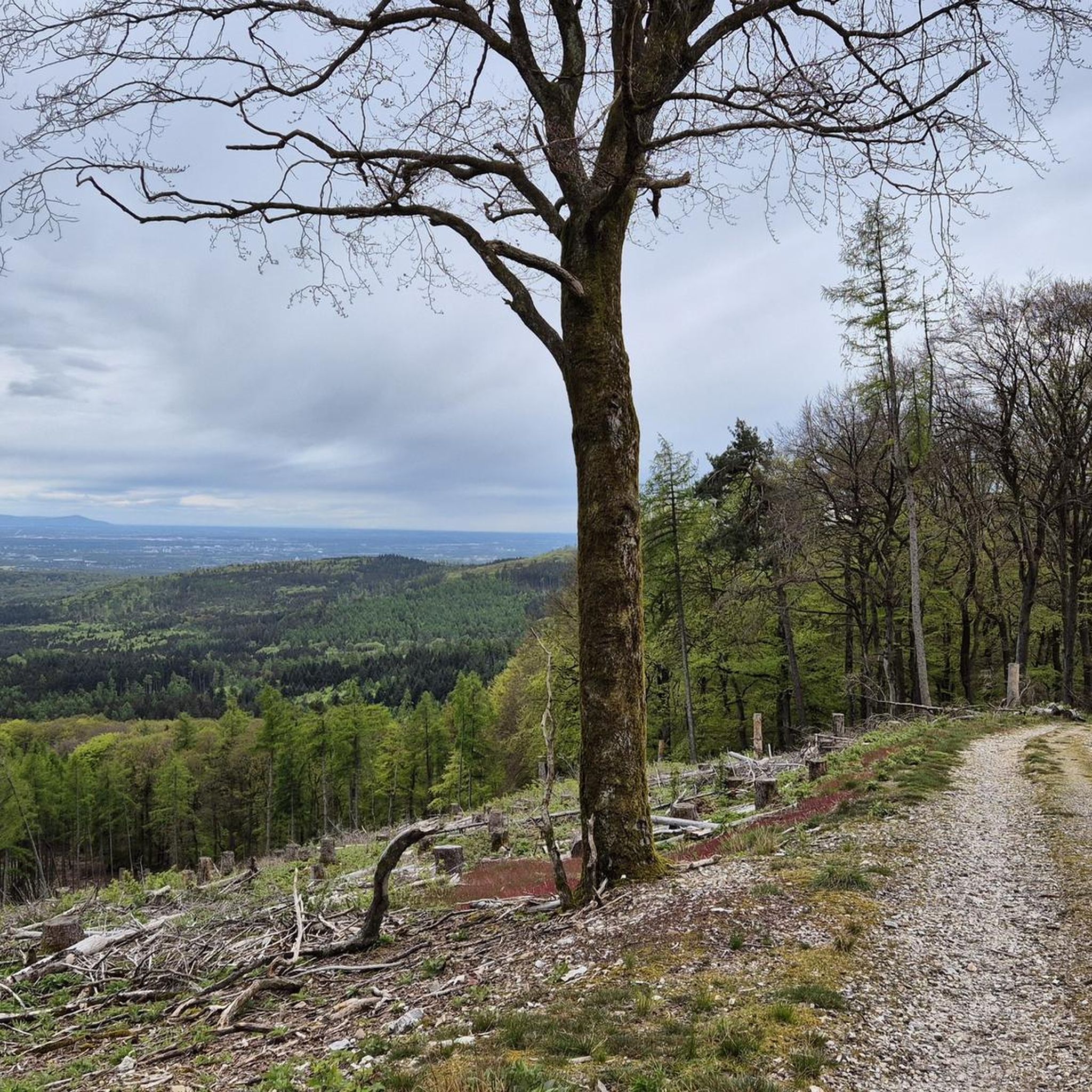
Hiking around Bad Homburg vor der Höhe
Cycling around Bad Homburg vor der Höhe
Other adventures around Bad Homburg vor der Höhe


Tips from the Community

Nice little break spot. Many illegal fire pits
0
0

Today I saw the new summit cross. ⛰️
1
0

The White Wall in the Taunus Mountains is a quartzite field formed during the Ice Age on the Altkönig mountain by frost weathering. It lies at a maximum elevation of 634 meters above sea level [1] near Oberursel in the Hochtaunus district of Hesse. The area is designated as a nature reserve 🤩
14
0
Lots of rubble but worth seeing.
1
0

Simply wonderful and delicious climb 😜
1
0
Sneakers not recommended, surefootedness and stability are required here 🤗
1
1

The mountain rescue station on the Feldberg is an important base for the mountain rescue service, which ensures safety in the surrounding hiking and skiing areas. It is located near the highest point of the Feldberg and serves as a rescue and care station for mountain accidents. Hikers and skiers can receive help here in an emergency, and the station is also a contact point for the mountain rescue service, which is regularly active in the region.
7
0
Frequently Asked Questions
How many mountaineering routes are available around Bad Homburg vor der Höhe?
There are over 30 mountaineering routes in the Bad Homburg vor der Höhe area, offering a wide range of experiences within the Taunus mountain range. These routes cater to various skill levels, from easy walks to more challenging climbs.
Are there any easy mountaineering routes suitable for beginners?
Yes, while many routes are moderate, there are options suitable for beginners. These typically involve less elevation gain and shorter distances, allowing you to enjoy the forested hills of the Taunus without excessive challenge.
What are some challenging mountaineering routes for experienced climbers?
For those seeking a challenge, routes like Anita's Fuchstanz – Großer Feldberg Summit loop from Hohemark offer significant elevation gain and longer distances, testing your endurance amidst the Taunus landscape. This particular route covers over 21 km with more than 700 meters of ascent.
Can I find circular mountaineering routes in this region?
Absolutely. Many of the mountaineering routes around Bad Homburg vor der Höhe are designed as loops, allowing you to start and end at the same point. For example, the popular Altkönig Summit Sign – Emminghaus Hut loop from Waldwiesenbachtal von Oberhöchstadt is a circular trail exploring the Altkönig area.
Are there any routes that feature waterfalls or other natural attractions?
Yes, the Taunus region offers beautiful natural sights. You can explore areas with waterfalls such as the Billtal Waterfall or the Eschbach Waterfalls. Some routes may pass near these, offering picturesque breaks during your mountaineering adventure.
What kind of scenic viewpoints can I expect along the trails?
The routes often lead to stunning viewpoints, particularly from prominent peaks like Altkönig and Großer Feldberg. You can find spots like the View of Großer Feldberg from Altkönig or the Herzberg Tower and Herzberg Inn, offering panoramic vistas of the surrounding forested hills and valleys.
Are the mountaineering routes around Bad Homburg vor der Höhe dog-friendly?
Generally, the trails in the Taunus are dog-friendly, but it's always recommended to keep your dog on a leash, especially in forested areas and near wildlife. Ensure your dog is fit enough for the chosen route's distance and elevation, and always carry enough water for both of you.
What is the best time of year for mountaineering in this region?
Spring and autumn are particularly popular for mountaineering in the Taunus, offering pleasant temperatures and beautiful foliage. Summer can also be enjoyable, especially in the shaded forests, but be prepared for warmer weather. Winter mountaineering is possible, but some trails might be icy or snowy, requiring appropriate gear and caution.
Are there any cafes or refreshment stops along the routes?
Yes, some routes pass by or near places where you can grab a bite or a drink. For instance, Anita's Fuchstanz is a well-known spot that can be incorporated into longer tours, offering a welcome break during your mountaineering trip.
How long do mountaineering routes typically take to complete?
Route durations vary significantly based on distance, elevation, and your pace. For example, a moderate route like Altkönig Summit – Rocky Trail on Altkönig loop from Großer Feldberg can take around 2.5 hours, while longer, more difficult routes might require 6-7 hours or more.
What do other mountaineers say about the routes in Bad Homburg vor der Höhe?
The mountaineering routes in Bad Homburg vor der Höhe are highly rated by the komoot community, with an average score of 4.9 stars from numerous reviews. Users often praise the well-maintained trails, the diverse landscapes, and the rewarding views from the summits of Altkönig and Großer Feldberg.
Can I access the mountaineering routes using public transport?
Many starting points for routes in the Taunus, including those near Bad Homburg vor der Höhe, are accessible by public transport, particularly buses that connect to local train stations. It's advisable to check local transport schedules for specific trailheads before planning your trip.
Most popular routes around Bad Homburg vor der Höhe
Most popular attractions around Bad Homburg vor der Höhe

Get inspired with the komoot mobile app


Explore more
Browse the best Mountain Hikes & Routes in other regions.
