The best walks and hikes around Drumarkin
4.5
(184)
1,351
hikers
17
hikes
Hikes around Drumarkin explore the landscape of County Down, situated near the Mourne Mountains. The area is defined by rolling hills, open moorland, and river valleys like that of the Yellow Water River. The terrain offers a mix of gentle riverside paths and more demanding ascents to rocky hilltops such as Hen Mountain and Pierce's Castle.
Best hiking trails around Drumarkin
- The most popular hiking route is Pierce's Castle from Sandbank Road — Mourne, a 4.0 mile (6.5 km)…
Last updated: August 21, 2026
4.2
(6)
63
hikers
6.51km
02:03
270m
270m
Embark on a moderate hike to Pierce's Castle from Sandbank Road, a 4.0-mile (6.5 km) route that takes about 2 hours and 3 minutes to complete. You will gain 892…
1.35km
00:34
180m
Easy hike. Great for any fitness level. Easily-accessible paths. Suitable for all skill levels.

Sign up for free
4.5
(17)
79
hikers
14.2km
04:57
750m
750m
Moderate hike. Good fitness required. Easily-accessible paths. Suitable for all skill levels.
4.4
(8)
33
hikers
8.35km
02:40
350m
350m
Moderate hike. Good fitness required. Easily-accessible paths. Suitable for all skill levels.
4.7
(11)
64
hikers
11.3km
03:25
360m
360m
Moderate hike. Good fitness required. Mostly accessible paths. Sure-footedness required.
Get access to more routes and recommendations from other explorers.
Sign up for free
Already have an account?
Our route recommendations are based on thousands of hikes, rides, and runs completed by other people on komoot.
Start today with a free account
Your next adventure awaits.
Login or Signup
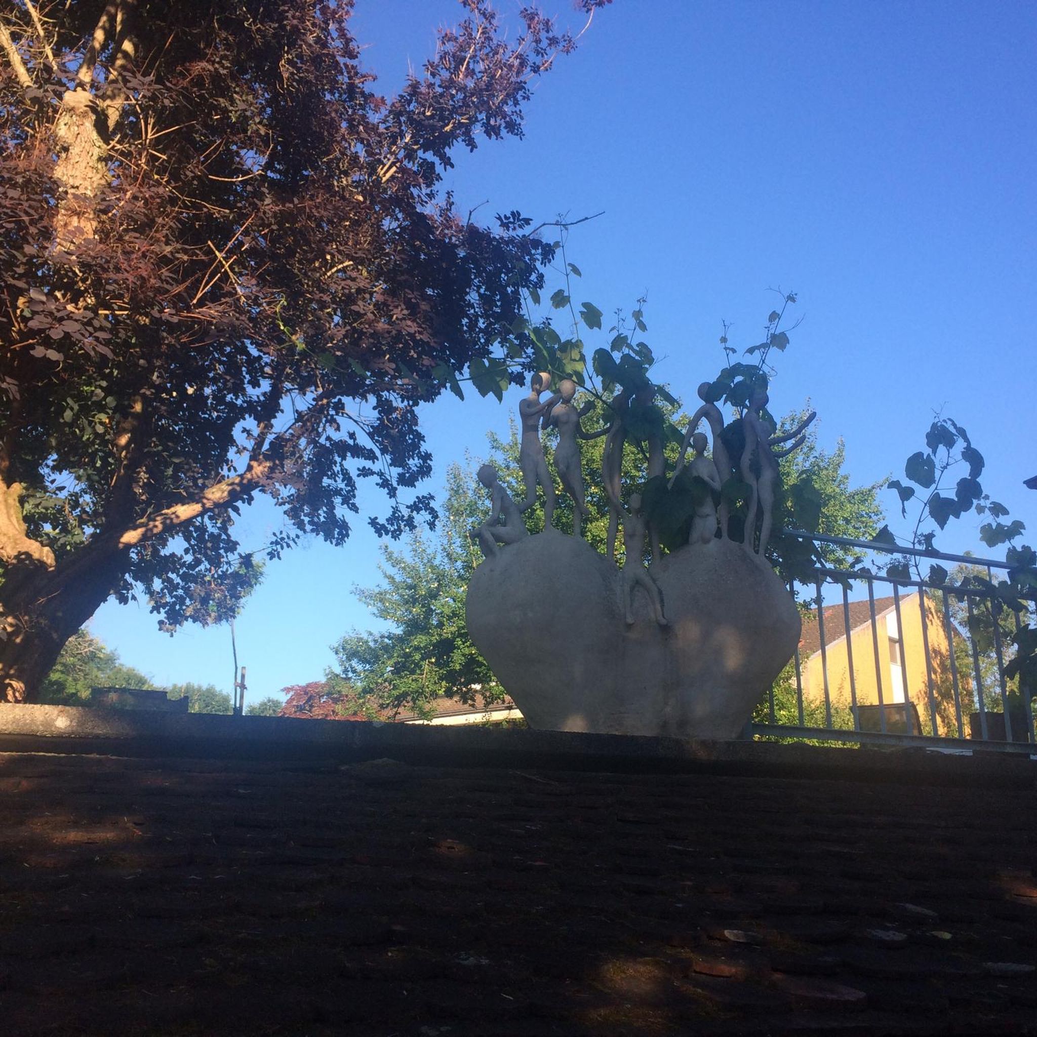

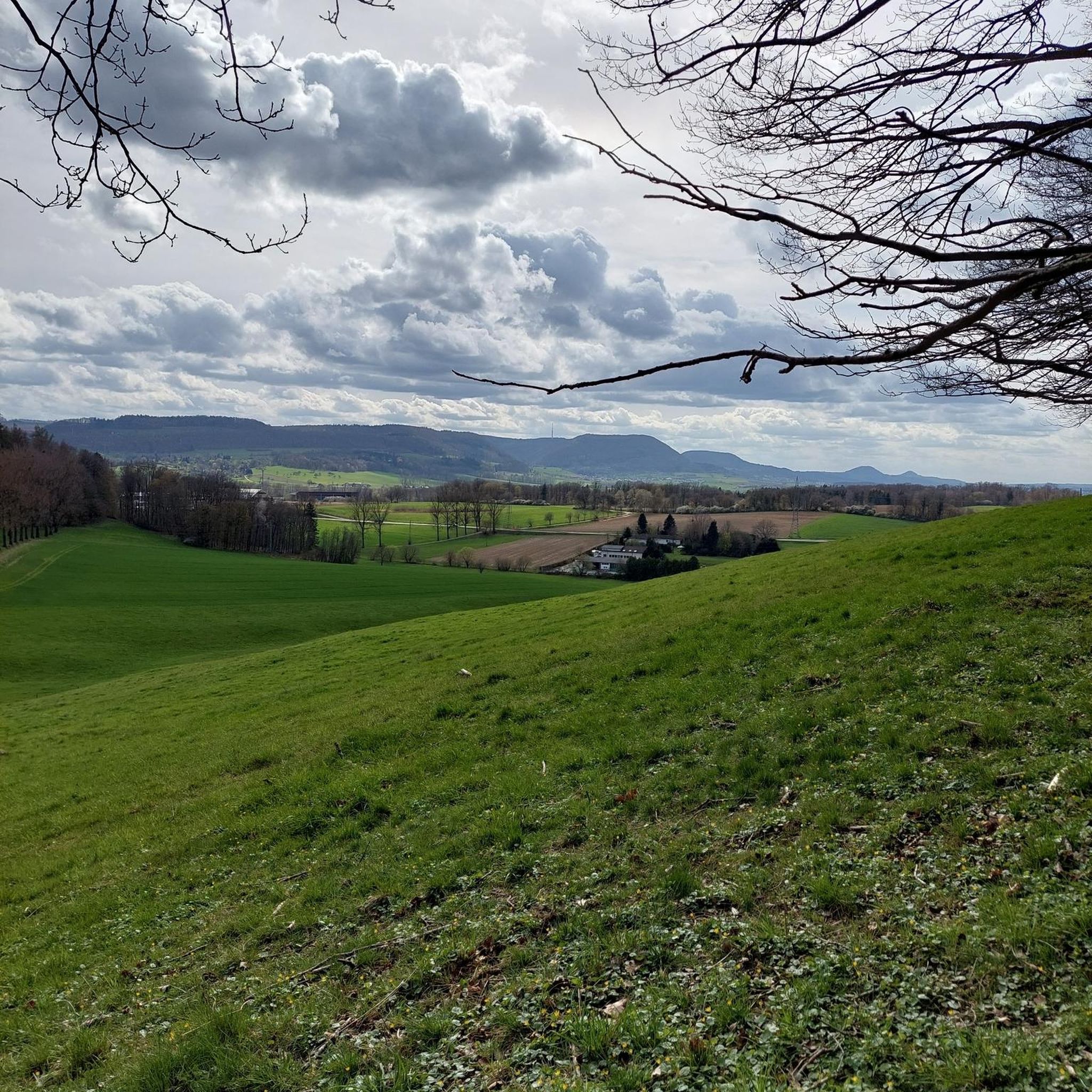

Tips from the Community

Nice climb with some good views
0
0

This is a pretty peaceful and beautiful place I quite like it https://blossomword-game.com
0
0

Lietrim Lodge car park is a popular starting point for many hikes and runs in the area.
0
0
A tough climb from any direction but a great place to refuel and enjoy the views.
0
0
A really fun descent down into the forest. Be sure to watch where you put your feet as there are some deep holes on the way down.
0
0

Hen Mountain is one of the less challenging climbs of the Mourne Mountain range, not to worry though, as it still provides the stunning panoramic views that the Mournes are so good at showcasing. There are a few rocky outcrops up here which can be discovered and explored, just do watch your footing as you move about.
2
0
Frequently Asked Questions
What is the hiking terrain like around Drumarkin?
The landscape is classic County Down, defined by rolling hills, open moorland, and river valleys. Expect a mix of gentle riverside paths along rivers like the Yellow Water and more strenuous climbs up to rocky granite tors, such as those found in the nearby Mourne Mountains.
Are there many hiking trails to choose from?
Yes, there are over 20 hiking routes to explore around Drumarkin. These range from easy strolls to challenging mountain hikes, with the majority being moderately difficult.
What do other hikers think of the trails in this area?
The region is highly regarded by the komoot community, with an average rating of 4.5 stars. Hikers often praise the stunning views from the hilltops and the mix of accessible and challenging terrain.
Are there any easy hikes suitable for beginners or a casual walk?
Yes, there are several easier options. For a very popular and gentle walk that's great for families, consider visiting The Fairy Glen, which follows a scenic river path. It's a local favorite for a reason.
Can I bring my dog on the trails?
Many trails in the area are suitable for dogs, but it's always best to check for specific restrictions, especially on farmland. The Fairy Glen is a well-known spot that is very popular with dog walkers, offering plenty of opportunities for them to enjoy the water.
Are there any good circular or loop hikes?
Absolutely. A great moderate loop is the Yellow Water River – Pierce's Castle loop from Altaggart Mountain. This route combines a pleasant riverside section with a rewarding climb, giving you a fantastic overview of the area's diverse scenery.
Where can I find the best views?
For spectacular 360-degree views, the Ring of Gullion Area of Outstanding Natural Beauty is a must-visit. The climb to the summit can be steep over rocks, but the panoramic scenery from the top is well worth the effort.
Are there any forest trails I can explore?
Yes, for a lovely woodland experience, the Dromore Woods Trailhead offers nice trails through the forest, passing by lakes and even an old castle ruin. It provides a different kind of scenery compared to the open moorland.
What should I wear for hiking in the Mourne & Ring of Gullion region?
The weather can change quickly. It's essential to wear sturdy hiking boots with good grip, as trails can be rocky and muddy. Dressing in layers is recommended, and always pack a waterproof jacket, even if the day starts out sunny.
Is there a challenging hike for experienced walkers?
For those seeking a tough challenge, the region offers several difficult hikes. One option is the Pierce's Castle loop from Hilltown, which involves a significant ascent and rewards you with fantastic views from the rocky summit.
Where can I park to start a hike?
Parking availability varies by trailhead. Some popular routes start from designated car parks, which can be found at places like the Kinnitty Looped Walks Trailhead. For other routes starting on rural roads, look for designated lay-bys but be sure not to block any gates or local access.
Most popular attractions around Drumarkin

Get inspired with the komoot mobile app


Explore more
Browse the best Hikes in other regions.
