The best road cycling routes around Levallyclanone
4.8
(34)
621
riders
43
rides
Road cycling routes around Levallyclanone traverse a landscape characterized by rolling hills, dense forests, and scenic shorelines. The area, located in County Down, Northern Ireland, offers varied terrain suitable for road cyclists. Routes often feature ascents through wooded areas and along the shores of Carlingford Lough, providing diverse cycling experiences. The region's physical features include significant elevation changes, particularly around areas like Spelga Reservoir and Rostrevor Forest.
Best road cycling routes around Levallyclanone
- The most popular road cycling route is…
Last updated: October 14, 2026
4.8
(4)
52
riders
Moderate road ride. Good fitness required. Some segments of this route may be unpaved and difficult to ride.
17
riders
53.8km
02:23
500m
500m
Moderate road ride. Good fitness required. Mostly well-paved surfaces and easy to ride.

5.0
(1)
22
riders
87.7km
03:35
490m
490m
Moderate road ride. Good fitness required. Mostly well-paved surfaces and easy to ride.
17
riders
45.4km
01:58
340m
340m
Moderate road ride. Good fitness required. Some segments of this route may be unpaved and difficult to ride.
17
riders
40.9km
01:53
490m
500m
Moderate road ride. Good fitness required. Mostly well-paved surfaces and easy to ride.
Get access to more routes and recommendations from other explorers.
Already have an account?
Our route recommendations are based on thousands of hikes, rides, and runs completed by other people on komoot.
Start today with a free account
Your next adventure awaits.




Tips from the Community


The Newry Canal Towpath is a 32-kilometer-long, almost entirely traffic-free green corridor connecting the towns of Portadown and Newry. It follows the towpath of the oldest canal in the British Isles, opened in 1742 to transport coal from County Tyrone to the sea. The Newry Canal Towpath offers an unparalleled cycling experience through the tranquil heart of County Armagh and County Down. This historic route, part of the National Cycle Network Route 9, takes you along a flat and largely asphalted path past fourteen monumental locks and characteristic lock-keeper's cottages. As you follow the waterway, you'll traverse a varied landscape of dense forests and open meadows, passing through welcoming villages like Scarva and Poyntzpass along the way. The path is a haven for wildlife; keep an eye out for kingfishers, swans, and otters that inhabit the reed beds. Whether you cycle the full 32 kilometers or explore just a section, the combination of industrial history and natural beauty makes this one of the absolute gems of Irish cycling routes.
5
0

Nice little cafe in the village of Scarva right alongside the Newry canal towpath, great for brekkie, lunch or just topping up the hydration.
1
0

Hollie Berrie is a good place for refreshments on the route at Scarva
0
1

A great little cafe set in the bike shop, with great coffee and a nice variety of sweet goodies.
0
0

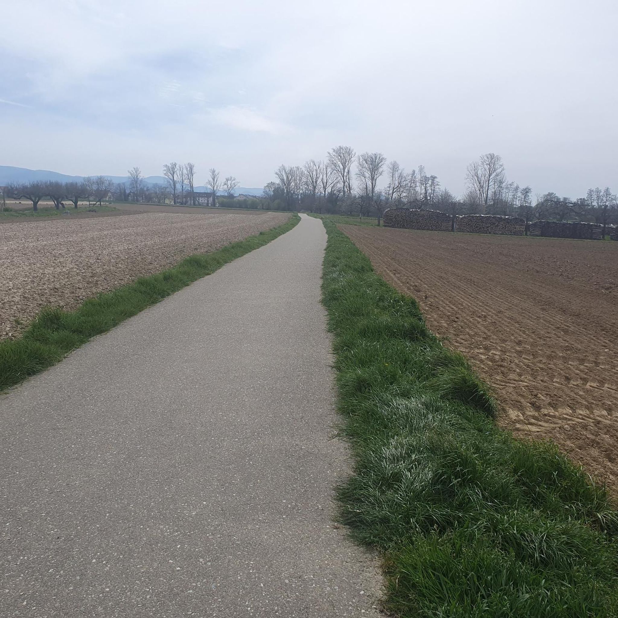
The gently ascending road winds through a wide, open landscape, surrounded by grassy hills and breathtaking silence. Only the wind and the quiet hum of the tires accompany you here as your gaze wanders into the distance. The climb may be challenging, but the view that opens up with every meter of altitude is worth the effort. Once at the top, you feel free and rewarded, as if you have conquered a piece of nature and then the reward comes with the descent.
0
0
Frequently Asked Questions
How many road cycling routes are available around Levallyclanone?
There are over 50 road cycling routes available around Levallyclanone, offering a variety of experiences for different skill levels.
What is the typical terrain like for road cycling in Levallyclanone?
Road cycling routes around Levallyclanone traverse a landscape characterized by rolling hills, dense forests, and scenic shorelines. You can expect significant elevation changes, particularly around areas like Spelga Reservoir and Rostrevor Forest, alongside flatter stretches along the coast.
Are there road cycling routes suitable for different skill levels?
Yes, the routes in Levallyclanone cater to various abilities. There are 6 easy routes, 39 moderate routes, and 7 difficult routes, ensuring options for beginners to experienced cyclists.
What do other cyclists think about the road cycling routes in Levallyclanone?
The road cycling routes in Levallyclanone are highly rated by the komoot community, with an average score of 4.8 stars from more than 30 reviews. Over 600 road cyclists have used komoot to explore the varied terrain, often praising the diverse cycling experiences combining forest climbs and scenic shore roads.
Are there any challenging road cycling routes in the area?
Yes, for those seeking a challenge, there are 7 difficult routes available. One such route is the Climb by Rostrevor Forest – Spelga Reservoir Hill Climb loop from Rostrevor, which features significant climbs through forest and past the reservoir.
Can I find routes with scenic views or along the coast?
Absolutely. Many routes offer scenic views, particularly along the shores of Carlingford Lough and the Warrenpoint Shore Road. For example, the View of Carlingford Lough – Fairy Glen loop from Rostrevor provides beautiful coastal vistas.
Are there circular road cycling routes around Levallyclanone?
Yes, many of the road cycling routes around Levallyclanone are designed as loops, allowing you to start and finish in the same location. Examples include the Climb by Rostrevor Forest – Warrenpoint Shore Road loop from Rostrevor and the Warrenpoint Shore Road – Scarva Village loop from Rostrevor.
What kind of landmarks or attractions can I see along the road cycling routes?
While cycling, you might encounter natural and historical landmarks. Notable attractions in the wider area include the impressive Cloughmore Stone, the scenic Kilbroney Park, and the historic town of Carlingford. The routes also pass by significant natural features like Spelga Reservoir and Rostrevor Forest.
Are there any mountain peaks visible or accessible from the road cycling routes?
Yes, the region around Levallyclanone, located in County Down, Northern Ireland, is close to the Mourne Mountains. While cycling, you may get views of peaks such as Slieve Foye Summit or Hen Mountain, adding to the scenic backdrop of your ride.
What is the average elevation gain on road cycling routes in Levallyclanone?
The elevation gain varies significantly depending on the route. For instance, a moderate route like the Climb by Rostrevor Forest – Spelga Reservoir Hill Climb loop from Rostrevor involves approximately 590 meters of ascent, while other routes may have less or more, reflecting the area's rolling hills.
Are there routes that combine forest climbs with coastal sections?
Yes, many routes offer this diverse experience. For example, the Climb by Rostrevor Forest – Warrenpoint Shore Road loop from Rostrevor combines ascents through wooded areas with stretches along the scenic Warrenpoint Shore Road.
Most popular attractions around Levallyclanone

Get inspired with the komoot mobile app


Explore more
Browse the best Road cycling routes in other regions.
