The best road cycling routes around Drumsesk
4.7
(36)
652
riders
45
rides
Road cycling routes around Drumsesk offer a diverse landscape for cyclists in Northern Ireland. The region is characterized by rolling hills, including the scenic Slieve Gullion and the Ring of Gullion, providing varied terrain. Cyclists can find routes that traverse well-paved roads, often passing by natural features such as Camlough Lake. This area presents options for different fitness levels, from moderate loops to more challenging climbs.
Best road cycling routes around Drumsesk
- The most popular road cycling route is Climb…
Last updated: October 14, 2026
4.8
(4)
52
riders
Moderate road ride. Good fitness required. Some segments of this route may be unpaved and difficult to ride.
17
riders
53.8km
02:23
500m
500m
Moderate road ride. Good fitness required. Mostly well-paved surfaces and easy to ride.

5.0
(1)
22
riders
87.7km
03:35
490m
490m
Moderate road ride. Good fitness required. Mostly well-paved surfaces and easy to ride.
17
riders
45.4km
01:58
340m
340m
Moderate road ride. Good fitness required. Some segments of this route may be unpaved and difficult to ride.
17
riders
40.9km
01:53
490m
500m
Moderate road ride. Good fitness required. Mostly well-paved surfaces and easy to ride.
Get access to more routes and recommendations from other explorers.
Already have an account?
Our route recommendations are based on thousands of hikes, rides, and runs completed by other people on komoot.
Start today with a free account
Your next adventure awaits.



Tips from the Community


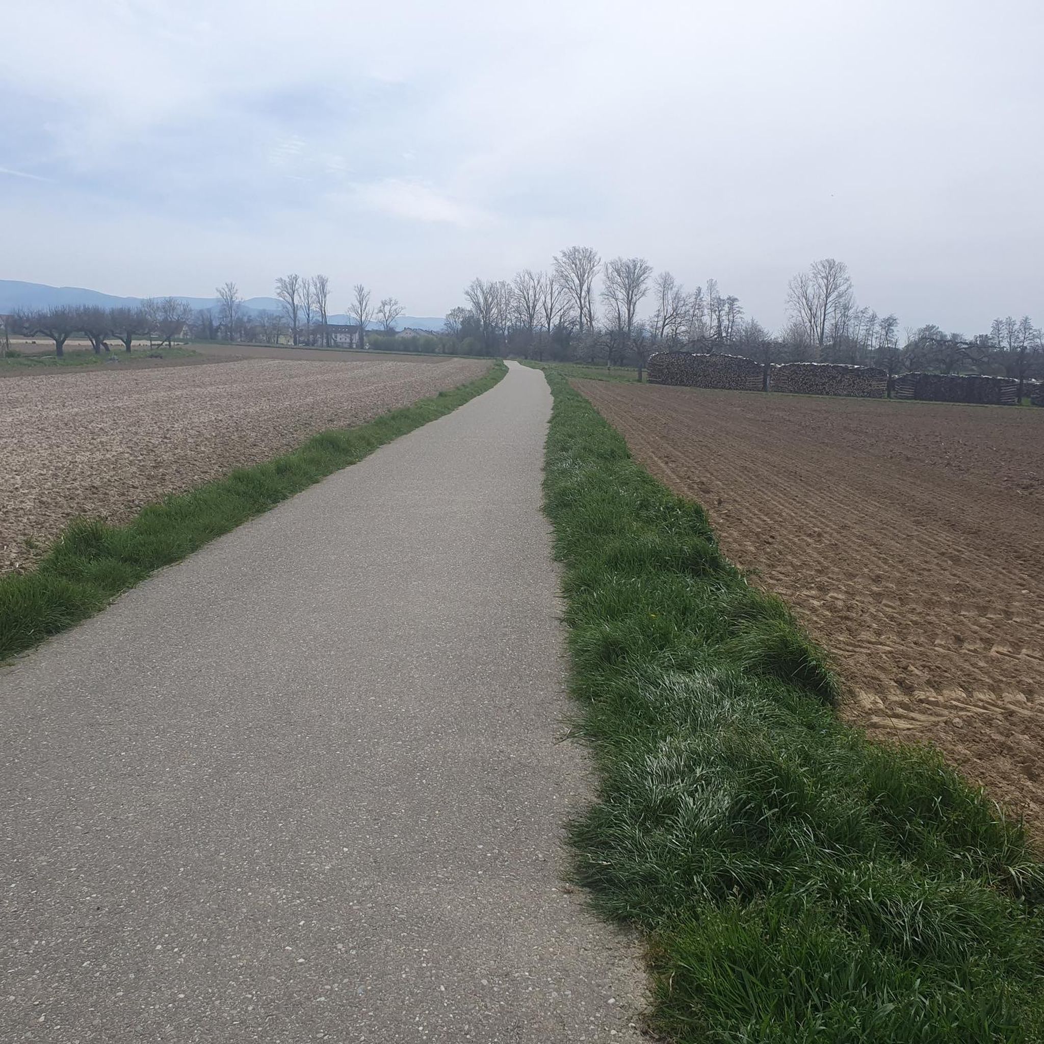
The Newry Canal Towpath is a 32-kilometer-long, almost entirely traffic-free green corridor connecting the towns of Portadown and Newry. It follows the towpath of the oldest canal in the British Isles, opened in 1742 to transport coal from County Tyrone to the sea. The Newry Canal Towpath offers an unparalleled cycling experience through the tranquil heart of County Armagh and County Down. This historic route, part of the National Cycle Network Route 9, takes you along a flat and largely asphalted path past fourteen monumental locks and characteristic lock-keeper's cottages. As you follow the waterway, you'll traverse a varied landscape of dense forests and open meadows, passing through welcoming villages like Scarva and Poyntzpass along the way. The path is a haven for wildlife; keep an eye out for kingfishers, swans, and otters that inhabit the reed beds. Whether you cycle the full 32 kilometers or explore just a section, the combination of industrial history and natural beauty makes this one of the absolute gems of Irish cycling routes.
5
0

Nice little cafe in the village of Scarva right alongside the Newry canal towpath, great for brekkie, lunch or just topping up the hydration.
1
0

Hollie Berrie is a good place for refreshments on the route at Scarva
0
1

A great little cafe set in the bike shop, with great coffee and a nice variety of sweet goodies.
0
0

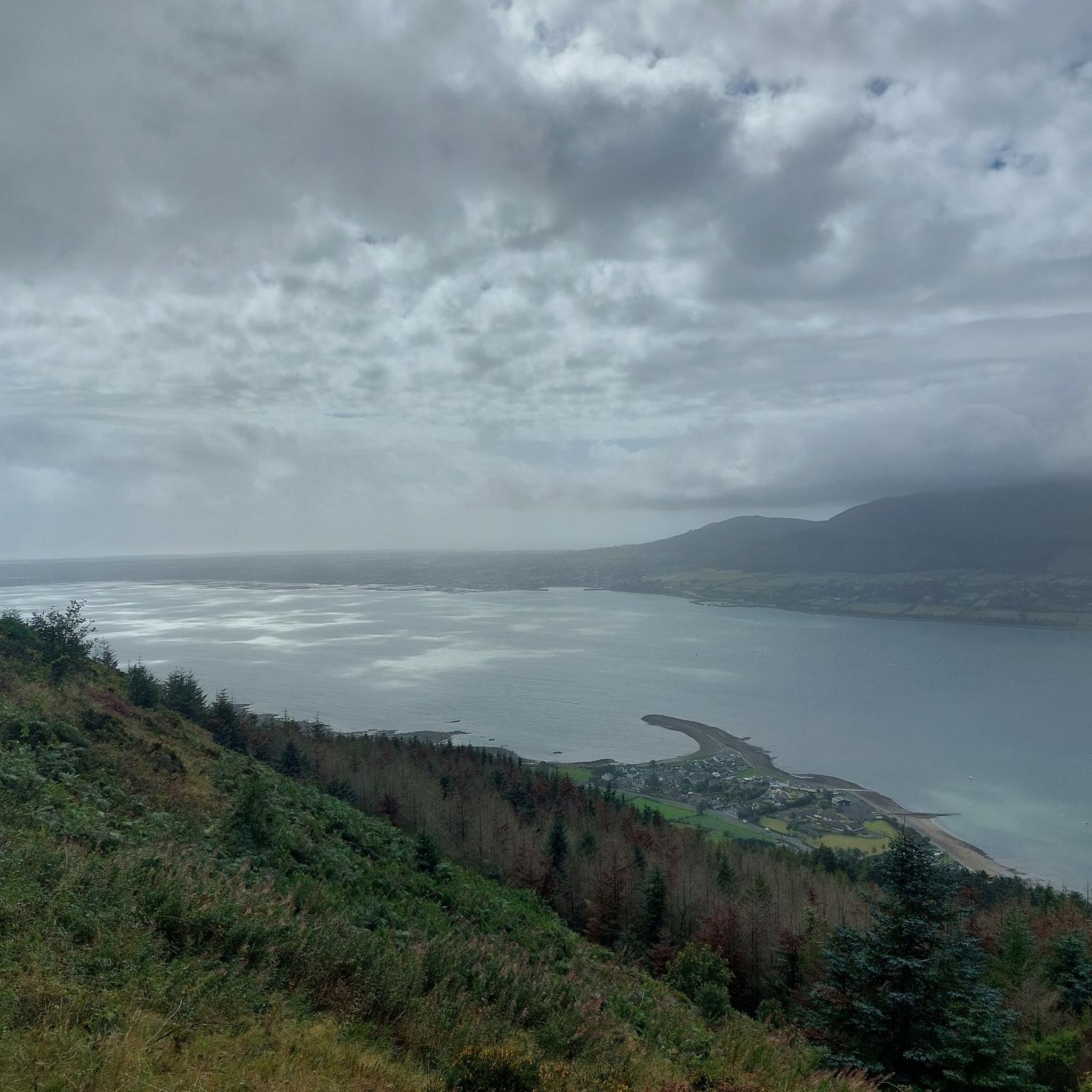
The gently ascending road winds through a wide, open landscape, surrounded by grassy hills and breathtaking silence. Only the wind and the quiet hum of the tires accompany you here as your gaze wanders into the distance. The climb may be challenging, but the view that opens up with every meter of altitude is worth the effort. Once at the top, you feel free and rewarded, as if you have conquered a piece of nature and then the reward comes with the descent.
0
0
Frequently Asked Questions
How many road cycling routes are available around Drumsesk, and what are their difficulty levels?
There are over 50 road cycling routes around Drumsesk. The majority, 41 routes, are rated as moderate, offering a good balance of challenge and accessibility. For those seeking an easier ride, there are 6 routes, while 7 routes provide a more difficult challenge for experienced cyclists.
Are there road cycling routes suitable for beginners or those looking for an easy ride?
Yes, Drumsesk offers 6 road cycling routes specifically rated as easy. These routes are ideal for beginners or those preferring a more relaxed pace, allowing you to enjoy the scenery without significant climbs.
What kind of terrain can I expect on road cycling routes around Drumsesk?
The road cycling routes around Drumsesk are characterized by rolling hills, including the scenic Slieve Gullion and the Ring of Gullion. You'll find well-paved roads, often passing by natural features such as Camlough Lake, and forested sections. The varied terrain offers options from moderate loops to more challenging climbs.
Are there any challenging road cycling routes for experienced cyclists in the Drumsesk area?
Yes, for experienced cyclists seeking a challenge, there are 7 routes rated as difficult. One such route is the Climb by Rostrevor Forest – Spelga Reservoir Hill Climb loop from Rostrevor, which features a significant hill climb through Rostrevor Forest.
What are some scenic viewpoints or landmarks I can see along the road cycling routes?
The region offers several scenic spots. You can enjoy views of Carlingford Lough on routes like the View of Carlingford Lough – Fairy Glen loop from Rostrevor. Other notable landmarks and natural features in the wider area include the picturesque Camlough Lake, nestled between the rolling hills of Slieve Gullion, and the ancient Cloughmore Stone.
Are there circular road cycling routes available around Drumsesk?
Yes, many of the road cycling routes around Drumsesk are designed as loops, offering circular journeys. Examples include the Climb by Rostrevor Forest – Spelga Reservoir Hill Climb loop from Rostrevor and the Climb by Rostrevor Forest – Warrenpoint Shore Road loop from Rostrevor, allowing you to start and finish in the same location.
What do other road cyclists enjoy most about cycling in Drumsesk?
The road cycling routes in Drumsesk are highly rated by the komoot community, with an average score of 4.7 stars from over 30 reviews. Cyclists often praise the varied terrain, which includes rolling hills, scenic lough-side roads, and forested sections, providing diverse experiences for different ability levels.
What is the best time of year for road cycling in the Drumsesk area?
While road cycling can be enjoyed year-round, the spring and summer months typically offer the most favorable weather conditions for exploring the Drumsesk region. These seasons provide longer daylight hours and generally milder temperatures, making for a more comfortable ride through the rolling hills and scenic landscapes.
Are there any road cycling routes that pass by Camlough Lake?
Yes, the region offers routes that allow you to cycle along the narrow roads bordering Camlough Lake. This provides a tranquil experience with beautiful views of the water reflecting the surrounding hills of Slieve Gullion and the Ring of Gullion, making for a peaceful spot to enjoy the scenery.
Can I find cafes or amenities along the road cycling routes near Drumsesk?
While specific cafes on every route vary, towns and villages like Rostrevor and Warrenpoint, which serve as starting points or pass-throughs for many routes, offer amenities such as cafes, pubs, and accommodation options for cyclists to refuel and rest.
Are there family-friendly road cycling options in the Drumsesk region, particularly within the Ring of Gullion AONB?
The Drumsesk area, including parts of the Ring of Gullion AONB, offers routes suitable for various fitness levels. While specific 'family-friendly' designations depend on the route's length and elevation, the 6 easy-rated routes provide less strenuous options that could be suitable for families looking for a gentler ride on well-paved surfaces.
What are some of the longer road cycling routes available from Rostrevor?
For those looking for a longer ride, the Warrenpoint Shore Road – Scarva Village loop from Rostrevor is a substantial 54.9 miles (88.3 km) trail. This route leads through varied terrain and typically takes about 3 hours 35 minutes to complete, exploring the area between Warrenpoint and Scarva Village.
Most popular attractions around Drumsesk

Get inspired with the komoot mobile app


Explore more
Browse the best Road cycling routes in other regions.
