The best road cycling routes around Killowen Mountains
4.8
(33)
826
riders
55
rides
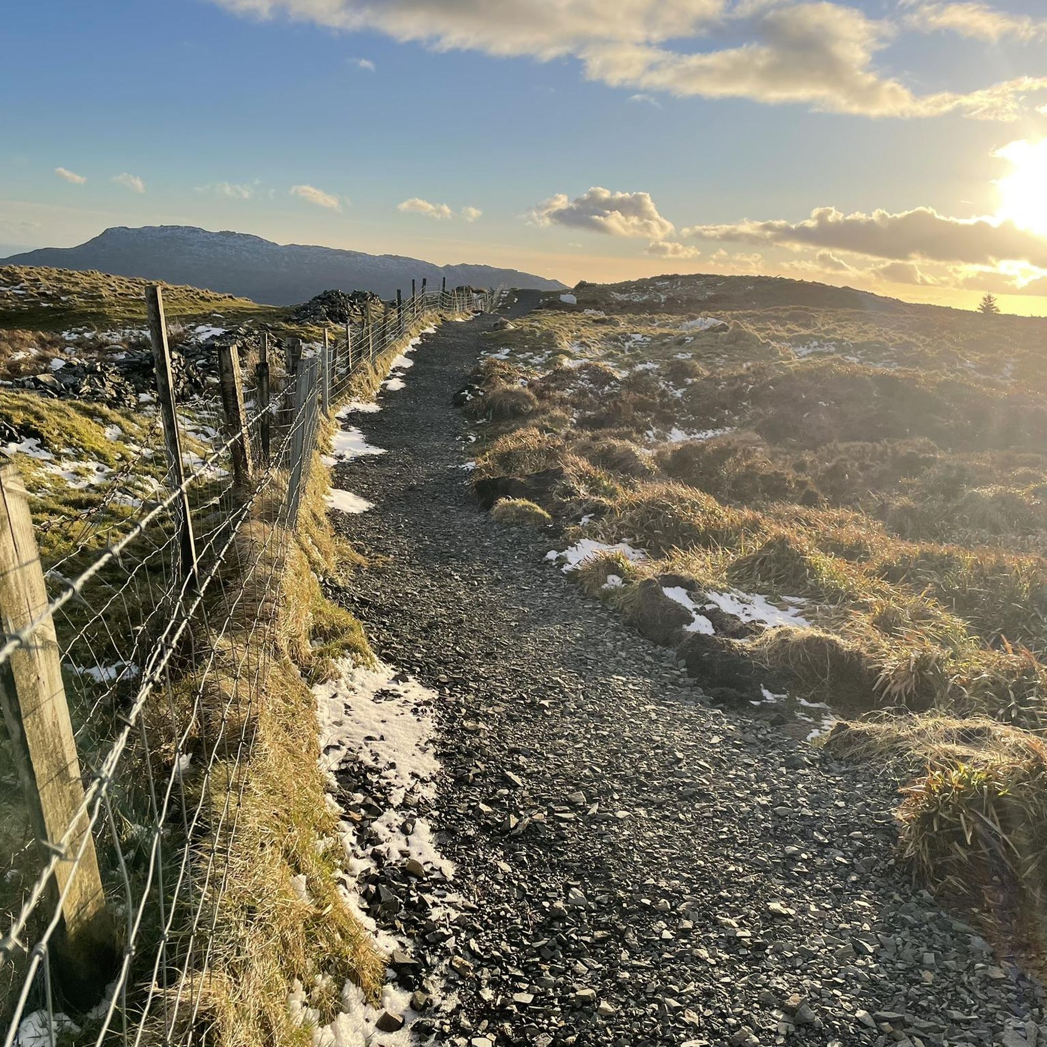
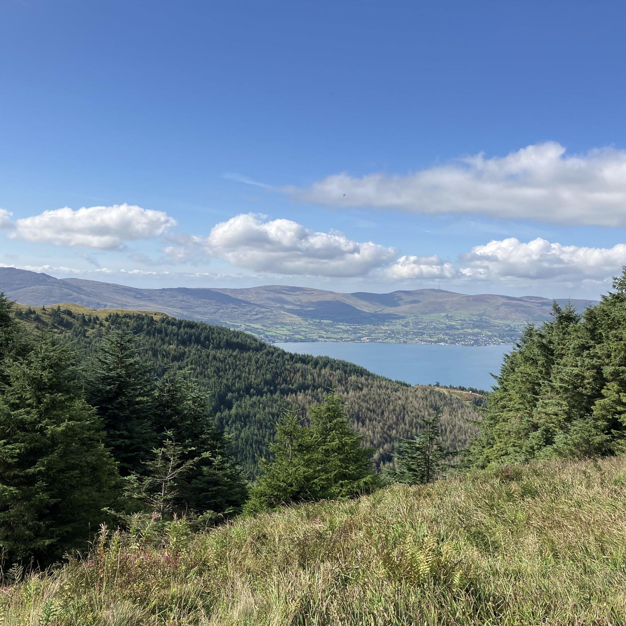
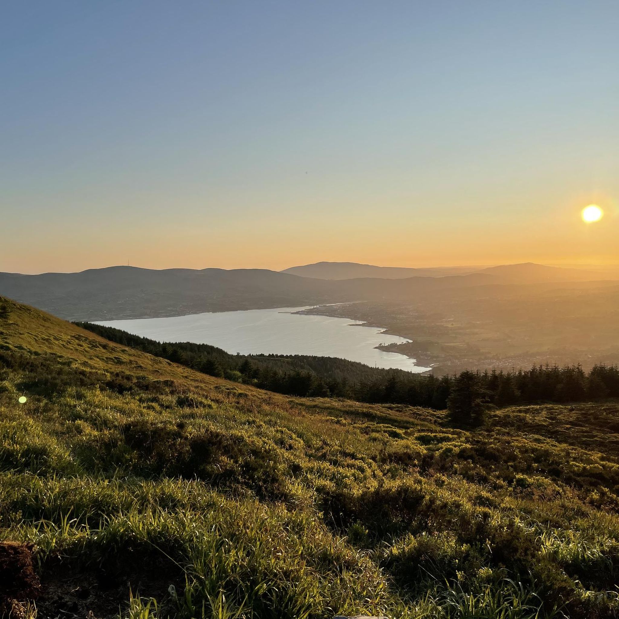
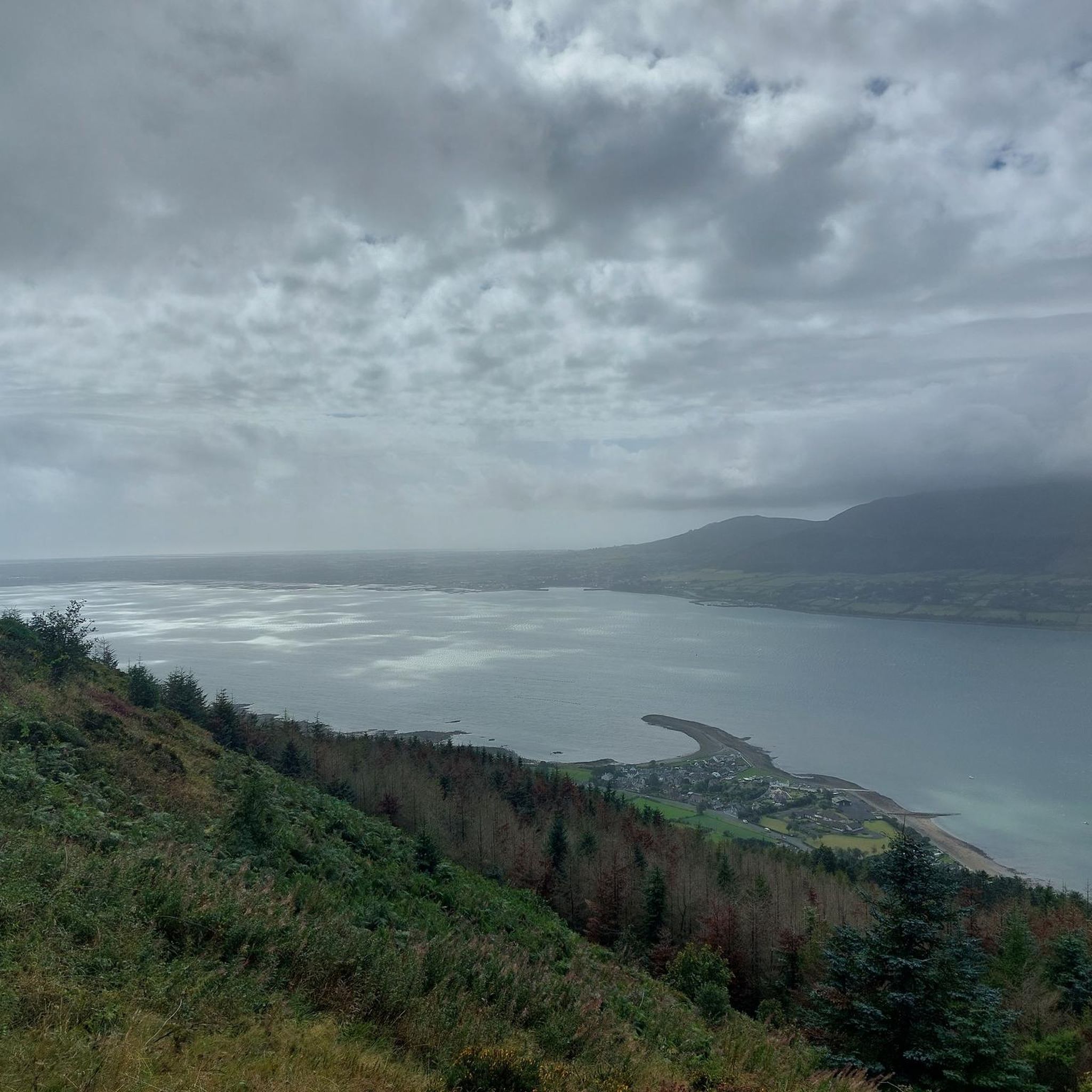
Road cycling routes around Killowen Mountains feature diverse landscapes, including views of Carlingford Lough and the Mourne Mountains. The region offers routes with significant elevation gains, providing challenging climbs and descents on mostly well-paved surfaces. Many paths traverse or border Rostrevor Forest, offering scenic passages through woodlands. The area is characterized by varied terrain suitable for different fitness levels.
Best road cycling routes around Killowen Mountains
- The most popular road cycling route is Climb by Rostrevor Forest – Spelga Reservoir…
Last updated: June 27, 2026
4.7
(3)
52
riders
Moderate road ride. Good fitness required. Some segments of this route may be unpaved and difficult to ride.
5.0
(5)
43
riders
36.3km
01:50
430m
430m
Moderate road ride. Good fitness required. Some segments of this route may be unpaved and difficult to ride.

Sign up for free
18
riders
39.2km
01:47
300m
300m
Moderate road ride. Good fitness required. Some segments of this route may be unpaved and difficult to ride.
18
riders
53.8km
02:23
500m
500m
Moderate road ride. Good fitness required. Mostly well-paved surfaces and easy to ride.
5.0
(1)
21
riders
88.2km
03:36
480m
480m
Moderate road ride. Good fitness required. Mostly well-paved surfaces and easy to ride.
Get access to more routes and recommendations from other explorers.
Sign up for free
Already have an account?
Our route recommendations are based on thousands of hikes, rides, and runs completed by other people on komoot.
Start today with a free account
Your next adventure awaits.
Login or Signup

Tips from the Community

The Newry Canal Towpath is a 32-kilometer-long, almost entirely traffic-free green corridor connecting the towns of Portadown and Newry. It follows the towpath of the oldest canal in the British Isles, opened in 1742 to transport coal from County Tyrone to the sea. The Newry Canal Towpath offers an unparalleled cycling experience through the tranquil heart of County Armagh and County Down. This historic route, part of the National Cycle Network Route 9, takes you along a flat and largely asphalted path past fourteen monumental locks and characteristic lock-keeper's cottages. As you follow the waterway, you'll traverse a varied landscape of dense forests and open meadows, passing through welcoming villages like Scarva and Poyntzpass along the way. The path is a haven for wildlife; keep an eye out for kingfishers, swans, and otters that inhabit the reed beds. Whether you cycle the full 32 kilometers or explore just a section, the combination of industrial history and natural beauty makes this one of the absolute gems of Irish cycling routes.
5
0

Nice little cafe in the village of Scarva right alongside the Newry canal towpath, great for brekkie, lunch or just topping up the hydration.
1
0

Hollie Berrie is a good place for refreshments on the route at Scarva
0
1

The small town of Scarva, nestled between green meadows and the quiet canal, offers a welcome break on my bike tour through Northern Ireland. Here you cycle on well-maintained paths past historic bridges and small villages that give you the feeling that time has stood still. The British flags fluttering along the side of the road remind you that you are in a culturally special area - a detail that reflects the identity of the region. The route is easy to cycle, the surrounding landscape is gently rolling, which makes for pleasant cycling. The view of wide fields and rolling hills invites you to slow down now and then and take in the peace and quiet. A special feature of Scarva is the annual Orange Order March, which transforms the village into a kind of open-air stage once a year and keeps the traditions of this region alive.
1
0
On the cycle path between Newry and Portadown, the gentle idyll of Northern Ireland unfolds in all its splendor. The route winds its way past lush green meadows where cows graze peacefully, through a wonderfully quiet landscape. The gentle rise and fall of the fields, the vastness of the sky and the gentle rustling of the wind create a unique atmosphere of relaxation. Here you can let your gaze wander into the distance while the path runs picturesquely between fields and hedges. A perfect place to let your bike roll and unwind.
1
0

Start of a beautiful path
0
0

The perfect meeting spot to start any run in this area. From this point you can head either into Rostrevor village, out towards Killowen, into Kilbroney park or head north alongside the river.
1
0
Frequently Asked Questions
How many road cycling routes are available in the Killowen Mountains area?
The Killowen Mountains region offers a wide selection of road cycling routes, with over 60 distinct tours available. These routes cater to various fitness levels, from moderate to very challenging.
Are there road cycling routes suitable for beginners or those seeking an easier ride?
Yes, while many routes feature significant elevation gains, there are options for less experienced cyclists. The area offers 9 routes specifically rated as easy, providing a gentler introduction to road cycling in the Killowen Mountains.
What kind of scenery can I expect while road cycling in the Killowen Mountains?
Cyclists can enjoy breathtaking views throughout the Killowen Mountains region. Routes often offer panoramic vistas over the beautiful Carlingford Lough and feature the majestic Mourne Mountains as a dramatic backdrop. Many paths also traverse or border Rostrevor Forest, providing scenic passages through dense woodlands, and some include sections through the enchanting Fairy Glen.
Are there challenging road cycling routes for experienced riders?
Absolutely. The Killowen Mountains are known for routes with significant elevation gains, providing rewarding climbs and descents. There are 6 routes rated as difficult, designed for very good fitness levels, and many of the 49 moderate routes also include substantial ascents, such as the Climb by Rostrevor Forest – Spelga Reservoir Hill Climb loop from Rostrevor, which features over 590 meters of elevation gain.
What are some notable landmarks or attractions I might see along the road cycling routes?
Beyond the stunning natural landscapes, you can encounter several interesting features. Routes often pass by the Cloughmore Stone, a massive boulder with a thrilling descent. You might also catch views of the Silent Valley Reservoir or pass through the serene Fiddlers Green. The nearby village of Rostrevor also offers attractions like Kilbroney Park with its Narnia Trail.
Are there circular road cycling routes available?
Yes, many of the routes in the Killowen Mountains are circular, allowing you to start and finish in the same location. For example, the The Fairy Glen – Warrenpoint Shore Road loop from Killowen is a popular circular option that takes you through the Fairy Glen and along the scenic Warrenpoint Shore Road.
What is the best time of year for road cycling in the Killowen Mountains?
The region is enjoyable for road cycling across multiple seasons. Spring and autumn offer pleasant temperatures and vibrant scenery. While many surfaces are well-paved, it's always advisable to check local weather conditions, especially during winter, as some higher elevation segments might be more exposed.
Where can I find refreshments or places to rest near the cycling routes?
The charming village of Rostrevor, a common starting point for many routes, offers cafes where cyclists can relax and refuel after their rides. Many routes also pass through or near other local communities where you might find additional amenities.
What do other cyclists say about road cycling in the Killowen Mountains?
The road cycling routes in the Killowen Mountains are highly regarded by the komoot community, with an average rating of 4.7 stars from over 30 reviews. Cyclists often praise the diverse landscapes, the rewarding climbs, and the well-maintained surfaces that make for an excellent riding experience.
Are there options for longer road cycling tours in the area?
Yes, for those looking for extended rides, there are longer routes available. An example is the Warrenpoint Shore Road – Scarva Village loop from Rostrevor, which covers approximately 88 kilometers and offers a substantial day out on the bike.
Is parking available at the starting points of the road cycling routes?
Many popular starting points, such as Rostrevor and Killowen, offer parking facilities for visitors. It's generally recommended to check specific parking availability for your chosen route's trailhead before you set out.
Can I find routes that are less crowded?
While popular routes like those incorporating the Warrenpoint Shore Road can see more activity, the Killowen Mountains offer a wide network of trails. Exploring some of the less-known loops or riding during off-peak hours can lead to a more tranquil experience, allowing you to enjoy the natural beauty in peace.
Most popular attractions around Killowen Mountains

Get inspired with the komoot mobile app


Explore more
Browse the best Road cycling routes in other regions.
