The best road cycling routes around Drumlee
4.8
(11)
634
riders
67
rides
Road cycling routes around Drumlee are situated within County Down, Northern Ireland, offering access to the undulating terrain of the Mourne Mountains and Dromara Hills. The region is characterized by quiet back roads and varied landscapes, providing challenging climbs and scenic vistas. Cyclists can expect a mix of rolling hills and more significant ascents, with few flat sections. The area's natural features, including the Mourne Wall and Slieve Croob, contribute to diverse cycling experiences.
Best road cycling routes around Drumlee
…Last updated: July 1, 2026
28
riders
38.1km
01:41
330m
330m
Moderate road ride. Good fitness required. Mostly well-paved surfaces and easy to ride.
20
riders
54.4km
02:27
520m
520m
Moderate road ride. Good fitness required. Mostly well-paved surfaces and easy to ride.

Sign up for free
22
riders
22.0km
00:55
160m
160m
Easy road ride. Great for any fitness level. Mostly well-paved surfaces and easy to ride.
5.0
(1)
14
riders
43.2km
01:50
340m
340m
Moderate road ride. Good fitness required. Mostly well-paved surfaces and easy to ride.
5.0
(1)
15
riders
41.9km
01:56
510m
510m
Moderate road ride. Good fitness required. Mostly well-paved surfaces and easy to ride.
Get access to more routes and recommendations from other explorers.
Sign up for free
Already have an account?
Our route recommendations are based on thousands of hikes, rides, and runs completed by other people on komoot.
Start today with a free account
Your next adventure awaits.
Login or Signup
Tips from the Community

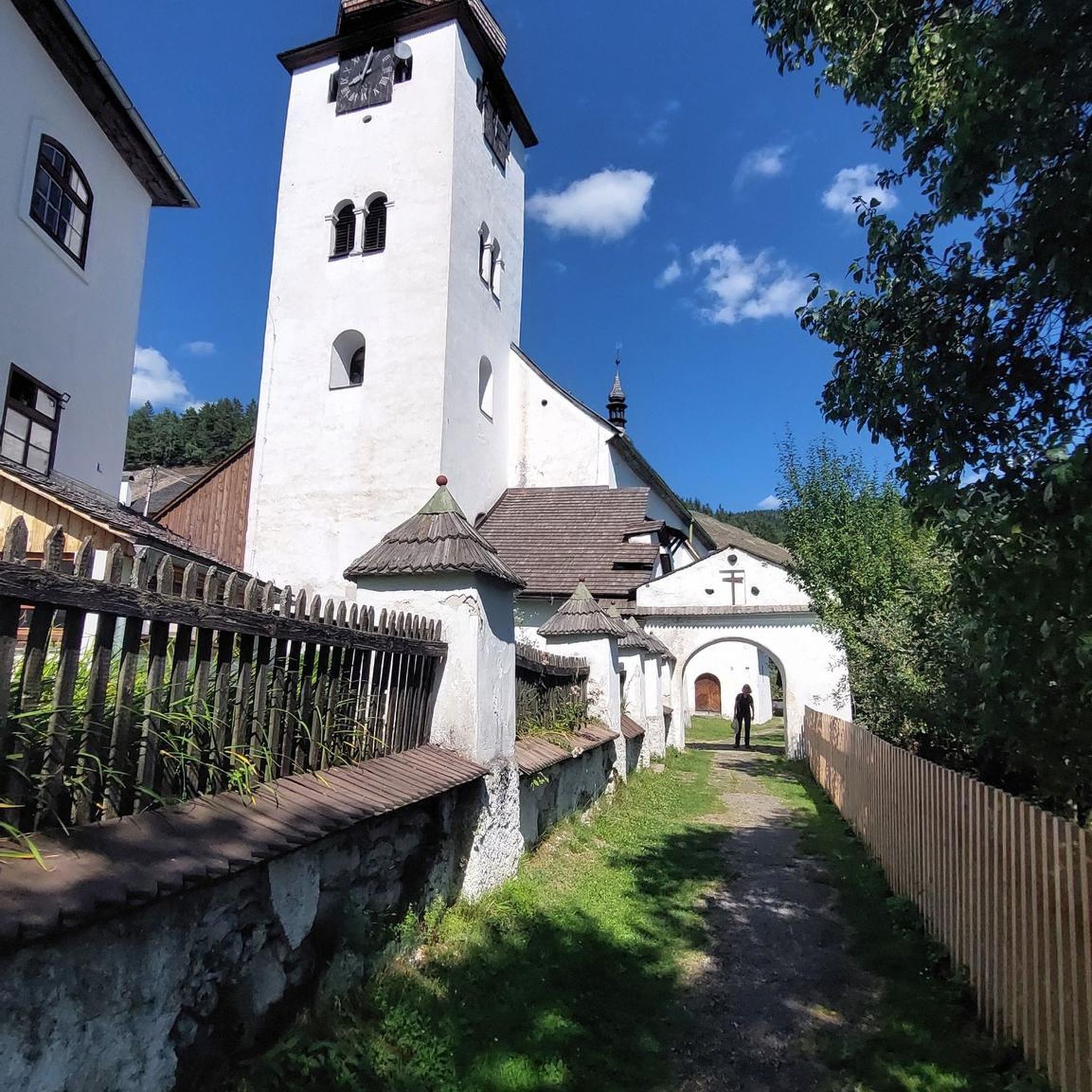
A great little cafe set in the bike shop, with great coffee and a nice variety of sweet goodies.
0
0

The gently ascending road winds through a wide, open landscape, surrounded by grassy hills and breathtaking silence. Only the wind and the quiet hum of the tires accompany you here as your gaze wanders into the distance. The climb may be challenging, but the view that opens up with every meter of altitude is worth the effort. Once at the top, you feel free and rewarded, as if you have conquered a piece of nature and then the reward comes with the descent.
0
0

Take your time and enjoy the descent down the other side!
1
0

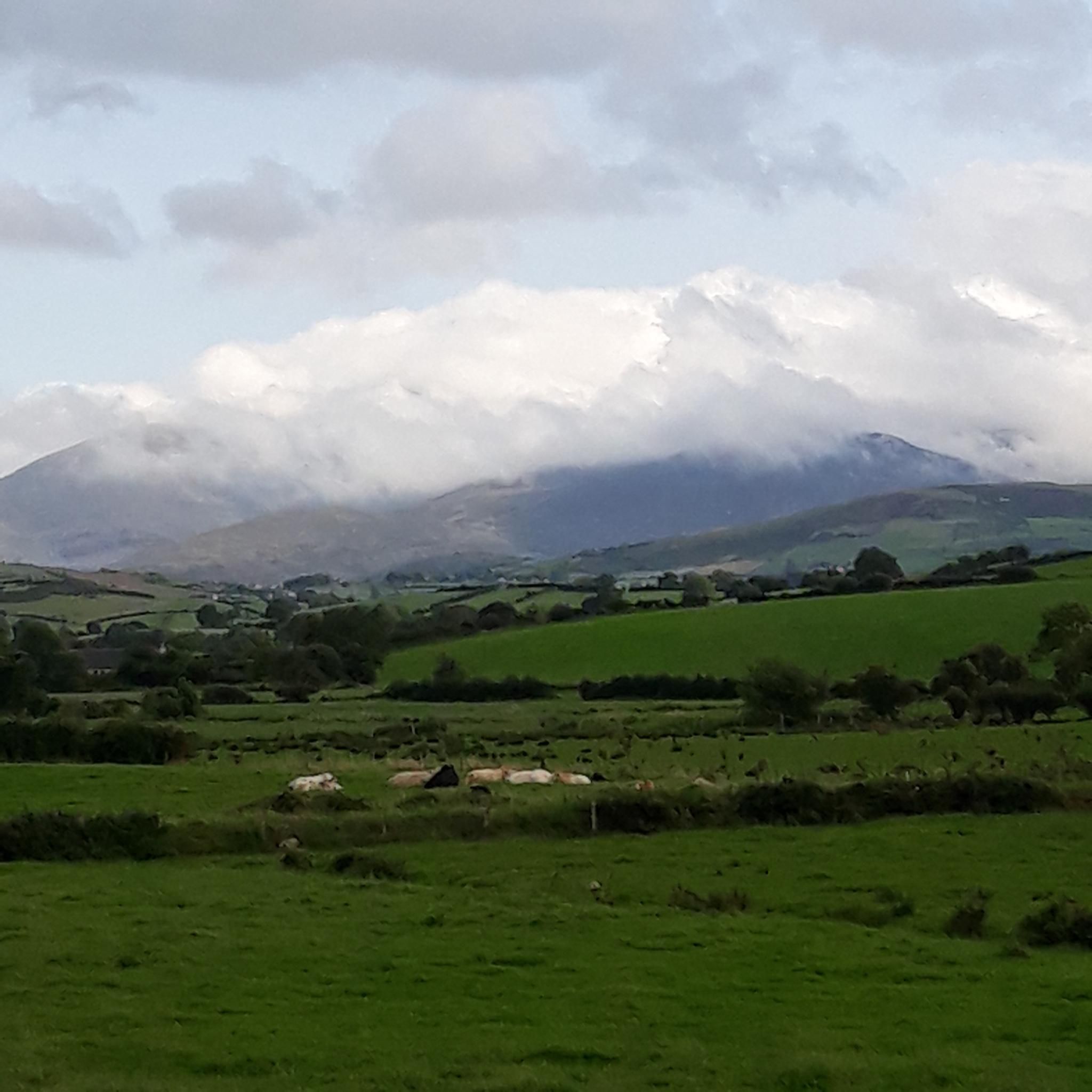
Great view of the Mourne Mountains and close to Tollymore Forest Park.
1
0

Nice road - usually quiet and leading to opportunities to branch off on other quiet roads
0
0

Fantastic views of the Mourne Mountains
0
0
Beautiful smooth Tarmac with stunning views off the Mourne Mountains, mostly quiet from traffic to afford you time to have a good look around at the scenery
2
0
Frequently Asked Questions
How many road cycling routes are available around Drumlee?
There are over 70 road cycling routes available around Drumlee, offering a diverse range of experiences. These routes are situated within County Down, Northern Ireland, and provide access to the undulating terrain of the Mourne Mountains and Dromara Hills.
What kind of terrain can I expect when road cycling near Drumlee?
Road cycling near Drumlee is characterized by undulating hills and quiet country roads. You can expect a mix of rolling hills and more significant ascents, with few flat sections, providing a good challenge for cyclists. The varied terrain, often close together, allows for diverse cycling experiences, from scenic coastal roads to mountain ascents.
Are there any easy road cycling routes suitable for beginners around Drumlee?
Yes, there are routes suitable for beginners. For example, the Katesbridge Mound loop from Moneyslane is an easy 21.9 km (13.6 miles) route with moderate elevation changes, perfect for those looking for a less strenuous ride. Another easy option is the Katesbridge Mound loop from Heathcliff and Cathy, which is 15.4 km (9.6 miles).
What are some popular scenic viewpoints or landmarks I can see while cycling in the Drumlee area?
The region around Drumlee offers numerous scenic viewpoints and landmarks. You can enjoy views towards the Mourne Mountains and Dromara Hills. Notable natural features include Slieve Bearnagh and Slieve Croob Summit. The iconic Mourne Wall, stretching across 15 summits, also provides a visually striking feature within the landscape. For a dramatic pass with expansive views, consider cycling near Hare's Gap.
What do other road cyclists enjoy most about road cycling in Drumlee?
The road cycling routes around Drumlee are highly rated by the komoot community, with an average score of 4.8 stars from over 10 reviews. Cyclists often praise the quiet country roads, the challenging yet rewarding climbs, and the stunning views towards the Mourne Mountains and Dromara Hills. Over 650 road cyclists have used komoot to explore this varied terrain.
Are there any circular road cycling routes around Drumlee?
Yes, many of the road cycling routes around Drumlee are designed as circular loops, allowing you to start and finish at the same point. For instance, the popular The Yard Café loop from Moneyslane and the Lackan Road loop from Moneyslane are both excellent circular options.
What is the best time of year for road cycling in the Drumlee area?
The best time for road cycling in the Drumlee area, and Northern Ireland generally, is during the spring, summer, and early autumn months (April to October). During these periods, the weather is typically milder and more stable, offering better conditions for enjoying the undulating emerald mountains and quiet back roads. Winter cycling is possible but can be more challenging due to colder temperatures and potentially wetter conditions.
Are there any family-friendly road cycling routes near Drumlee?
While many routes around Drumlee feature undulating terrain, some of the easier loops can be suitable for families with older children or those comfortable with moderate distances. For example, the Katesbridge Mound loop from Heathcliff and Cathy is a shorter, easier option. For younger families, exploring forest parks like Tollymore Forest Park or Castlewellan Forest Park, which often have dedicated trails, might be a better alternative, though these may not be exclusively road cycling.
Where can I find cafes or pubs for cyclists near Drumlee?
While specific cafes directly on every route are not listed, the region around Drumlee, particularly in County Down, has various villages and towns where you can find cafes and pubs. The The Yard Café loop from Moneyslane suggests a cafe as part of its name, indicating local amenities are available. Moneyslane itself, being a common starting point for several routes, would be a good place to look for refreshments.
Is there public transport or parking available for accessing road cycling routes around Drumlee?
Information on specific public transport links directly to route starting points around Drumlee is limited. However, County Down generally has bus services connecting its towns. For parking, many routes start from villages like Moneyslane, where local parking might be available. It's advisable to check local parking options in the specific starting village for your chosen route.
Are there any challenging road cycling routes for experienced cyclists?
Absolutely. The region's undulating terrain and proximity to the Mourne Mountains offer significant challenges. The Head Road, Mourne AONB – Spelga Reservoir Hill Climb loop from Moneyslane is a prime example, covering 65.5 km (40.7 miles) with substantial elevation gain, leading through the Mourne Area of Outstanding Natural Beauty and featuring a notable hill climb.
Most popular routes around Drumlee
Most popular attractions around Drumlee

Get inspired with the komoot mobile app


Explore more
Browse the best Road cycling routes in other regions.
