The best running trails around Gleißenberg
4.4
(185)
1,833
runners
132
runs
Jogging around Gleißenberg offers a diverse landscape for runners, characterized by rolling hills, dense forest paths, and open views of the surrounding Bavarian countryside. The region features varied elevations, providing opportunities for both challenging ascents and more gentle, undulating trails. Many routes incorporate natural landmarks and offer scenic vistas, making for engaging running experiences.
Best jogging routes around Gleißenberg
- The most popular jogging route is Three Coats of Arms – Three Coats of Arms Rock loop from Wanderparkplatz Reisecker Straße…
Last updated: October 9, 2026
4.0
(2)
11
runners
Hard run. Very good fitness required. Mostly paved surfaces. Suitable for all skill levels.
4.8
(4)
8
runners
8.12km
00:59
180m
180m
Moderate run. Good fitness required. Mostly paved surfaces. Suitable for all skill levels.

3.0
(1)
10
runners
5.34km
00:33
40m
40m
Moderate run. Good fitness required. Mostly paved surfaces. Suitable for all skill levels.
4
runners
6.17km
00:52
250m
250m
Hard run. Good fitness required. Sure-footedness, sturdy shoes and alpine experience required.
6
runners
3.59km
00:22
20m
20m
Easy run. Great for any fitness level. Mostly paved surfaces. Suitable for all skill levels.
Get access to more routes and recommendations from other explorers.
Already have an account?
Our route recommendations are based on thousands of hikes, rides, and runs completed by other people on komoot.
Start today with a free account
Your next adventure awaits.
Tips from the Community

Currently (August 2026) the fountain unfortunately has no water. Alternatively, the "steinerne Brünnel" (near the intersection Gaisriegelweg/Dreibächeweg) is recommended for refilling your water bottle.
0
0

The Steinerne Brünnl is an idyllic stop in the district of Cham, accompanying hikers on their way from Voithenberg up to the popular excursion area at Gibacht. Located in the middle of the shady forest, this historic spot often serves as a charming landmark and a small oasis of tranquility. From here, the paths wind their way further into the dense state forest towards the mountain inn and to great viewpoints.
1
0
The family run is the heart of the cozy ski area at Voithenberg near Furth im Wald and offers around 1,500 meters of relaxed piste fun for young and old. Nestled in the Voithenberg-Gibacht region, it is ideal for families as well as beginners who want to take their turns in the snow in peace and quiet. After the descent, the nearby Liftstüberl with hearty snacks and hot drinks provides the perfect end to the winter day.
2
0

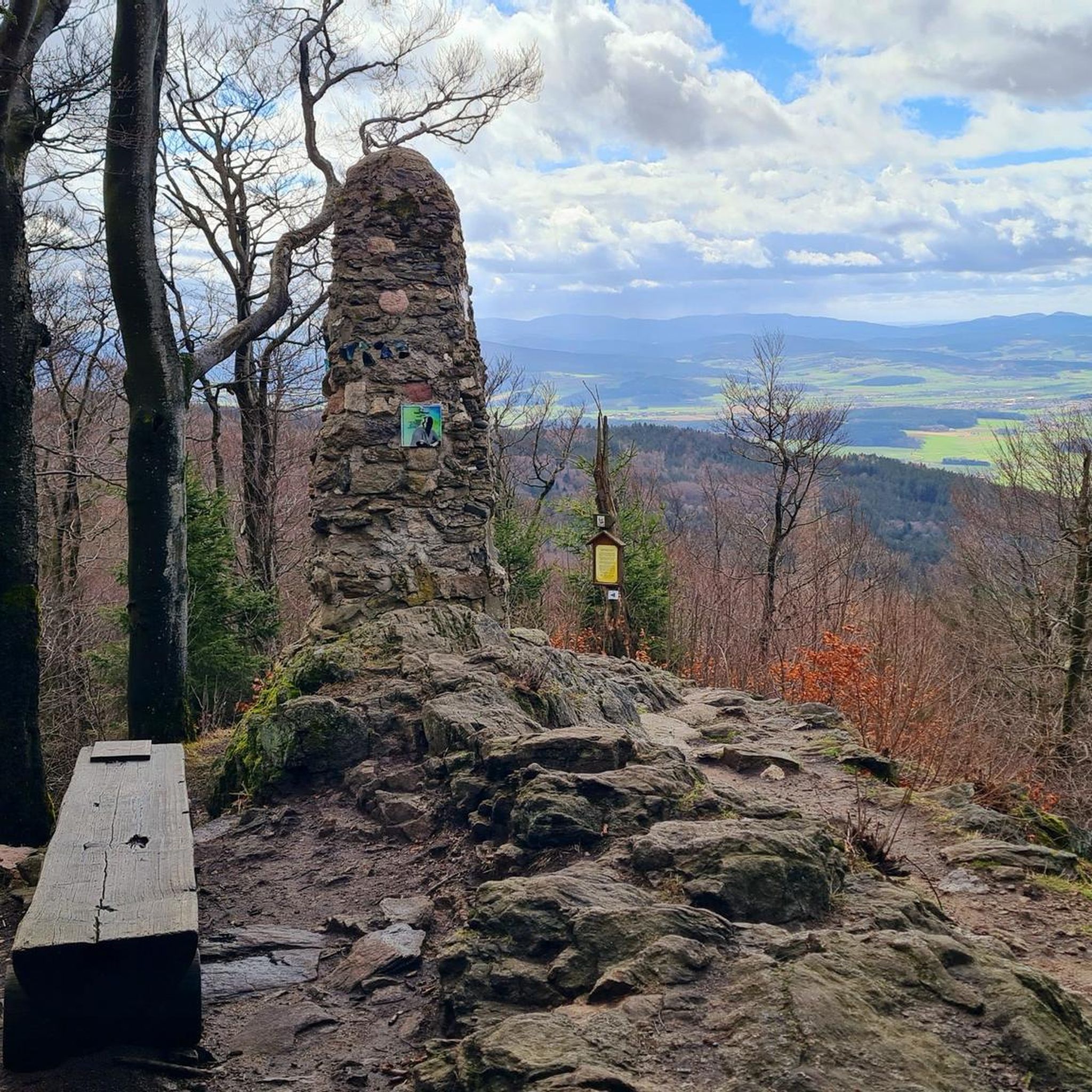
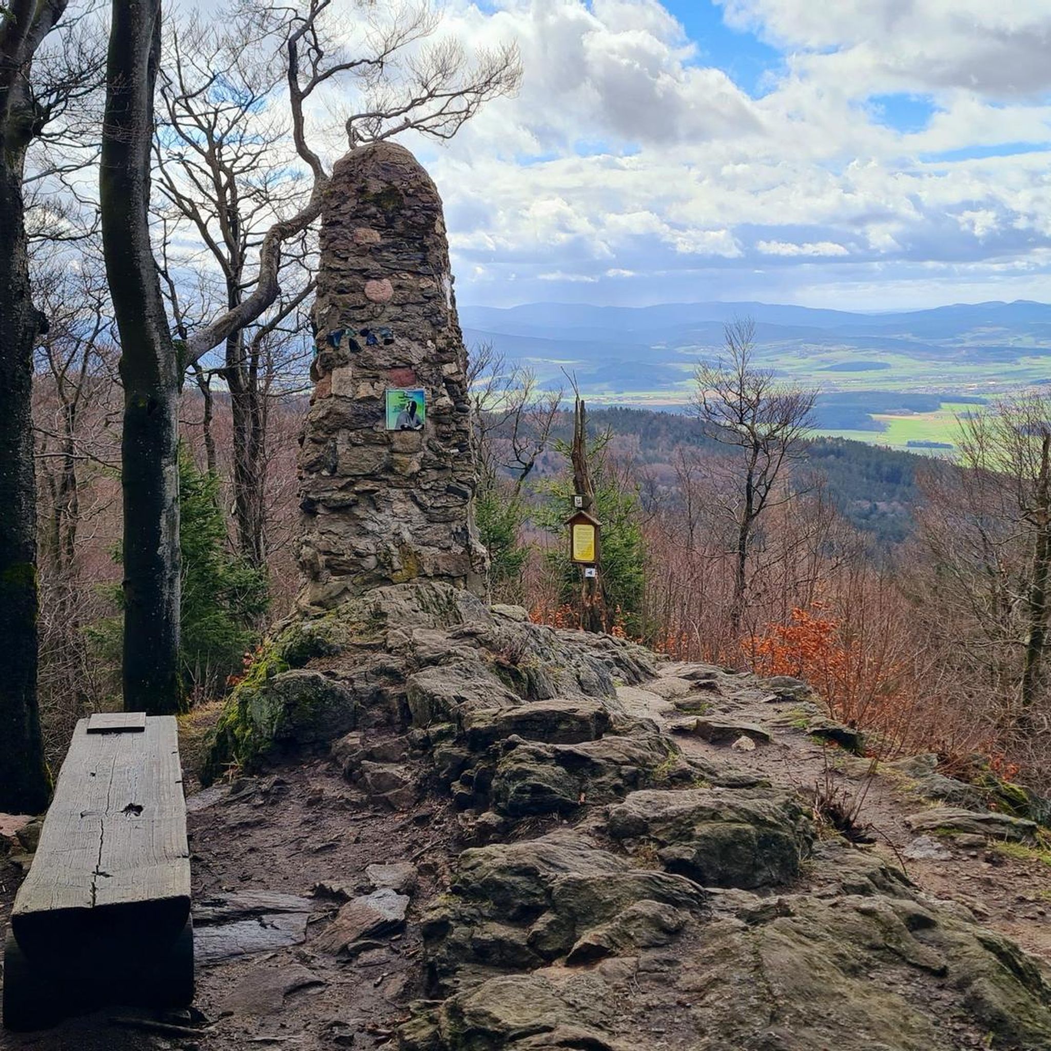
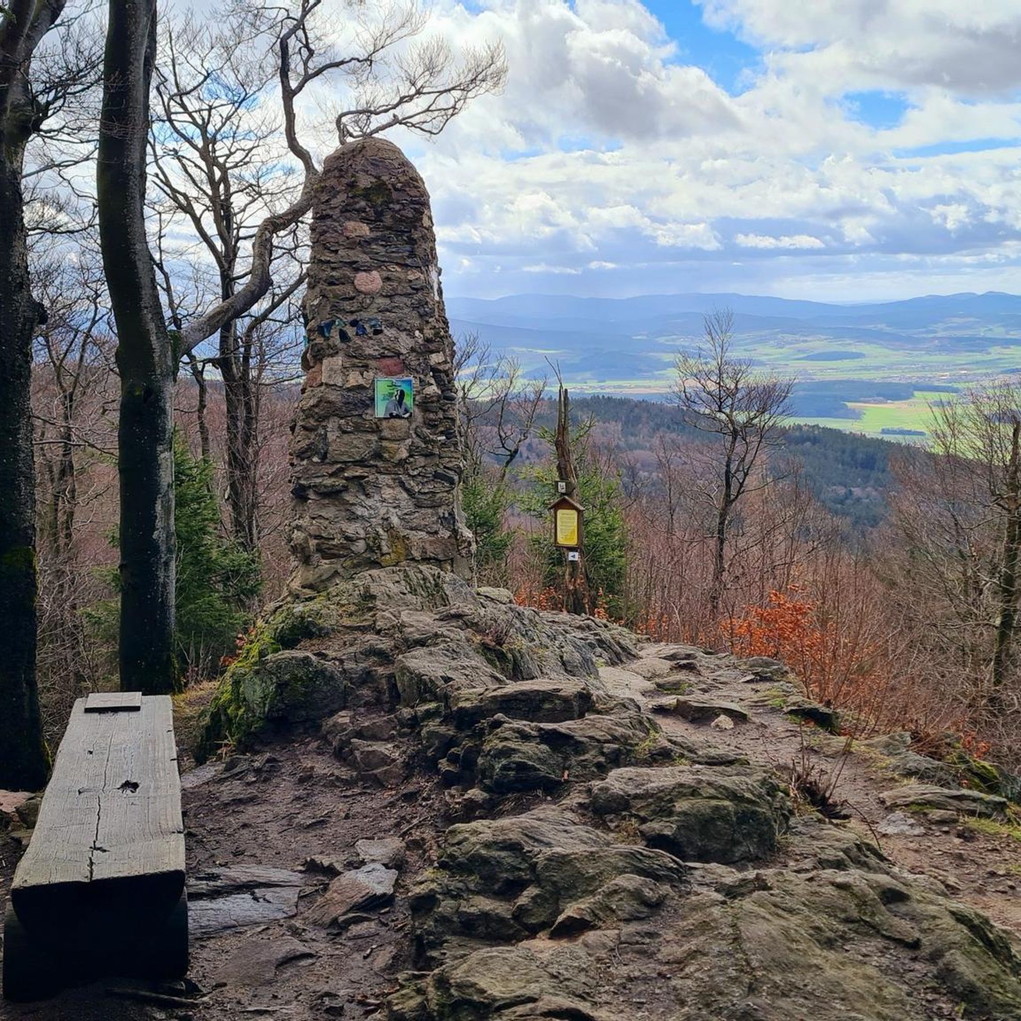
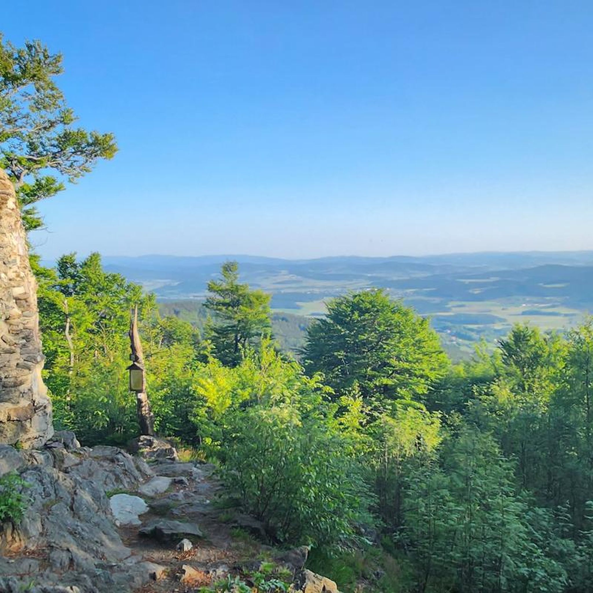
Here you get a very beautiful view, a short photo stop is recommended.
0
0

The Waldvereinshütte is a self-catering hut for hikers. Groups, but also individuals, can book it. It is located in Herzogau on interesting hiking routes such as the Goldsteig or the Pandurensteig. On Sundays, you can stop by the Waldhäusl from 2 PM to 6 PM for coffee and cake, as well as affordable drinks. Every second and fourth Wednesday, Dämmerschoppen (evening get-together) takes place from 6 PM to 9 PM. More information about the program can be found on the homepage.
12
0

it is always beautiful to enjoy the view even if you have seen it sooooo often
1
0

can be easily overlooked, especially when going downhill from Gibacht
1
0
Frequently Asked Questions
How many running routes are available in Gleißenberg?
Gleißenberg offers a wide selection of running routes, with over 130 trails available for exploration. These range from easy paths to more challenging runs, catering to various fitness levels.
Are there easy jogging routes suitable for beginners in Gleißenberg?
Yes, Gleißenberg has several easy running routes perfect for beginners or those looking for a more relaxed pace. One such option is the Running loop from Weiding (VGem), which is 3.5 km long with minimal elevation gain.
What kind of terrain can I expect on jogging trails around Gleißenberg?
The jogging trails in Gleißenberg feature a diverse landscape, including rolling hills, dense forest paths, and open views of the surrounding Bavarian countryside. You'll encounter varied elevations, offering both challenging ascents and gentle, undulating sections.
Are there any circular running routes in Gleißenberg?
Many of the running routes in Gleißenberg are designed as loops. For example, the popular Running loop from Gleißenberg is a 5.3 km circular trail that takes you through varied local terrain.
What are the best seasons for running in Gleißenberg?
Gleißenberg is enjoyable for running in most seasons. Spring and autumn offer pleasant temperatures and vibrant scenery, while summer provides lush green landscapes. Winter running is also possible, though conditions may vary, especially on higher elevation trails.
What do other runners enjoy most about jogging in Gleißenberg?
The running routes in Gleißenberg are highly rated by the komoot community, with an average score of 4.4 stars from over 130 reviews. Runners often praise the diverse terrain, scenic viewpoints, and the variety of options available for different skill levels.
Are there any viewpoints or scenic spots along the running routes?
Yes, many routes offer scenic viewpoints. For instance, the View of Waldmünchen loop from Ulrichsgrün provides excellent overlooks of Waldmünchen. You can also find highlights like the Čerchov Observation Tower and Kreuzfelsen Summit in the wider region, which can be incorporated into longer runs or visited separately.
What interesting landmarks can I see near the jogging trails?
Beyond the trails, the Gleißenberg area is rich with historical and natural landmarks. You can explore sites like the Three Coats of Arms monument, the serene Dragon Lake, or the Lighthouse of Humanity at Tannenriegel. There are also several castle ruins nearby, such as Schwarzenburg Castle Ruins.
Are there any challenging running trails for experienced runners?
Absolutely. For experienced runners seeking a challenge, Gleißenberg offers difficult routes with significant elevation gain. The Three Coats of Arms – Three Coats of Arms Rock loop from Wanderparkplatz Reisecker Straße is a demanding 12.2 km trail with over 450 meters of ascent, providing panoramic views as a reward.
Where can I find parking for the running routes?
Many running routes in the Gleißenberg area start from designated parking areas. For example, the challenging Three Coats of Arms loop begins from Wanderparkplatz Reisecker Straße, indicating convenient parking access for that specific trail.
Are there any less crowded running options in Gleißenberg?
While popular routes can see more activity, Gleißenberg's extensive network of trails means you can often find quieter paths, especially during off-peak hours or by exploring some of the less-trafficked moderate and easy routes. The region's 130+ routes offer plenty of alternatives for a peaceful run.
Most popular routes around Gleißenberg
Most popular attractions around Gleißenberg

Get inspired with the komoot mobile app


Explore more
Browse the best Running Trails & Routes in other regions.
