The best road cycling routes around Ballytrim
4.8
(9)
615
riders
72
rides
Road cycling routes around Ballytrim traverse a diverse landscape, characterized by the rolling hills and varied gradients of the Sperrin Mountains. The region features scenic natural beauty, including forest parks and well-maintained roads suitable for cycling. This terrain offers a mix of challenging climbs and exhilarating descents, providing varied experiences for road cyclists.
Best road cycling routes around Ballytrim
- The most popular road cycling route is Ballyhornan Beach – Strangford Stone loop from Delamont, a 30.8 miles (49.5 km)…
Last updated: October 7, 2026
35
riders
64.7km
02:48
480m
480m
Moderate road ride. Good fitness required. Mostly well-paved surfaces and easy to ride.
36
riders
103km
04:15
570m
570m
Moderate road ride. Good fitness required. Mostly well-paved surfaces and easy to ride.

18
riders
49.6km
02:13
340m
340m
Moderate road ride. Good fitness required. Mostly well-paved surfaces and easy to ride.
4.0
(1)
16
riders
60.0km
02:30
370m
370m
Moderate road ride. Good fitness required. Mostly well-paved surfaces and easy to ride.
10
riders
52.4km
02:14
350m
350m
Moderate road ride. Good fitness required. Mostly well-paved surfaces and easy to ride.
Get access to more routes and recommendations from other explorers.
Already have an account?
Our route recommendations are based on thousands of hikes, rides, and runs completed by other people on komoot.
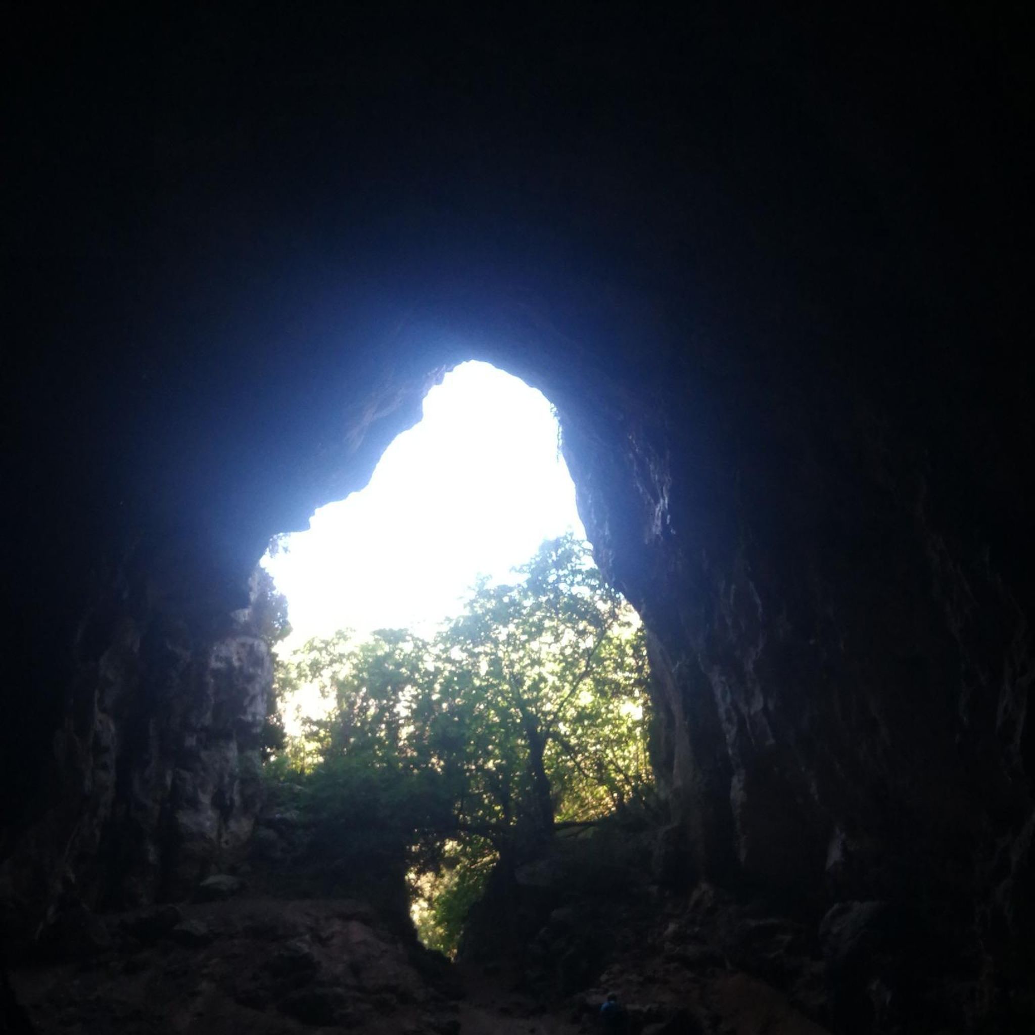
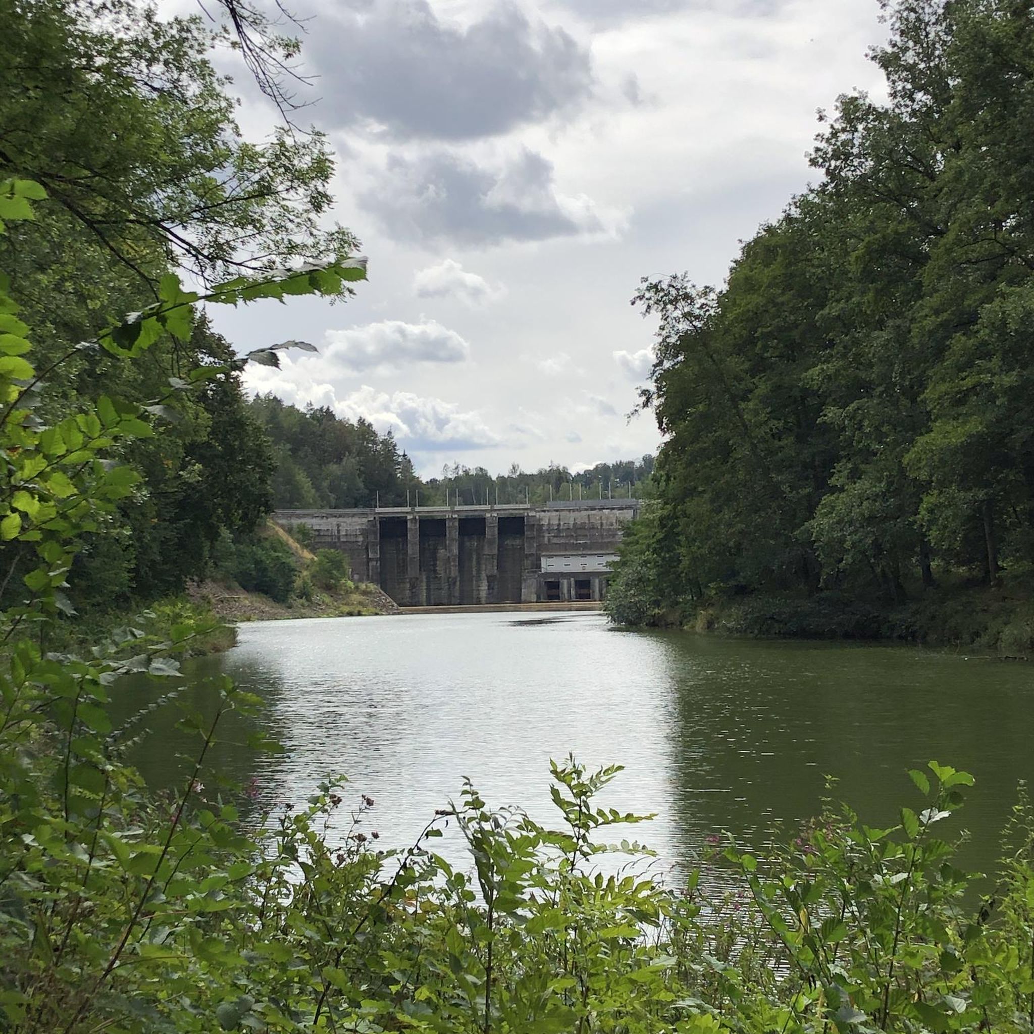
Tips from the Community

The vast coastline stretches out endlessly before you, and the panorama with the majestic Mourne Hills in the background creates a scene that is hard to put into words. The gentle waves touching the sand and the silence of the surroundings make you feel the vastness and freedom of this place.
1
0
This historic 12th century building is a typical example of an Anglo-Norman motte with a kidney-shaped bailey. The 7.6m high mound, which once housed a wooden tower, was later replaced by a stone tower house, the ruins of which can still be seen today. Access is via Clough's main road; there is a small car park, but it is not always well signposted. Access is usually permitted. The surrounding countryside, with views of the Mourne Mountains, offers a tranquil atmosphere that invites you to linger.
1
0
The ancient stone arches are perfectly reflected in the calm water, creating an image of timeless elegance. Cycling along here almost feels like a journey back in time - as if you are capturing a moment in another time.
1
0
This historic 10th century tower stands in idyllic countryside and offers a fascinating insight into Ireland's early Christian history. Access is via narrow country lanes; there is a small car park but it is not always well signposted. The tower is on private farmland but access is usually permitted.
1
0


The ruined round tower marks the site of an early church founded by the 6th-century St Domongart (Donard), after whom the highest peak in the Mourne Mountains is named. The tower stood to its full height until the early 18th century, when it fell in a great storm, It is built of local granite boulders and shale. Small scale excavation in 1965 showed evidence of Early Christian activity near the tower. In the oval graveyard east of the parish church is the ruin of the medieval parish church, probably 13th century in date.
1
0
Wonderful ornate, twelve arched bridge that seems out of place in this rural setting. The surrounding fields often flood during periods of heavy rain, necessitating a longer bridge than normally appears necessary. Hence the 'Twelve Arches'. The bridge was built sometime after 1836.
1
0
The motte and bailey dates to c.1200 and is an excellent example of an Anglo-Norman earthwork castle. The taller mound, the motte, was built of earth to provide a look-out position and the central defence. Excavations at the top of the motte during the 1950s uncovered a wooden palisade which originally extended around the summit. When you climb the motte you realise what an important position the castle is in, over looking the routes east to Downpatrick, south to Dundrum and north to Belfast Lough. The views from the top of the motte west to Slieve Croob are particularly fine.
1
0
Frequently Asked Questions
How many road cycling routes are available around Ballytrim?
There are over 80 road cycling routes around Ballytrim, offering a diverse range of experiences for cyclists of all levels. These routes traverse the scenic landscapes of the Sperrin Mountains and surrounding areas.
What kind of terrain can I expect when road cycling around Ballytrim?
Road cycling around Ballytrim is characterized by rolling hills and varied gradients, typical of the Sperrin Mountains. You'll find a mix of challenging climbs and exhilarating descents, with well-maintained roads and scenic forest parks. Some routes may also incorporate sections along rivers or coastlines, offering flatter terrain.
Are there road cycling routes suitable for beginners or less experienced cyclists in Ballytrim?
Yes, Ballytrim offers a good selection of routes for less experienced cyclists. Approximately 35 easy routes are available, providing gentler gradients and manageable distances. These routes are perfect for enjoying the scenery without overly strenuous climbs.
What about challenging routes for experienced road cyclists?
For experienced road cyclists seeking a challenge, Ballytrim has several demanding routes. There are 9 difficult routes with significant elevation gains, such as the Climb by Rostrevor Forest – The Fairy Glen loop from Delamont, which covers over 138 km with more than 1000 meters of ascent. These routes offer rewarding climbs and thrilling descents through the region's mountainous terrain.
What scenic landmarks or points of interest can I see along road cycling routes in Ballytrim?
Many routes offer stunning views and pass by notable landmarks. You might cycle past the historic Strangford Stone, or enjoy coastal vistas. The broader region also features natural monuments like Barnes Gap and the dramatic landscapes of the Sperrin Mountains.
Are there any historical sites accessible by road bike around Ballytrim?
Yes, the area around Ballytrim is rich in history. You can cycle past impressive sites like Castle Ward Tower (a famous filming location), Audley's Castle, and Inch Abbey. These offer fascinating stops to explore local heritage during your ride.
Are there any circular road cycling routes in Ballytrim?
Yes, many of the road cycling routes around Ballytrim are designed as loops, allowing you to start and finish at the same point. Examples include the Ballyhornan Beach – Strangford Stone loop from Delamont and the Strangford Stone – Strangford Stone loop from Delamont, which are popular for their scenic coastal views and historical points of interest.
Is parking available near road cycling routes in Ballytrim?
Yes, parking is generally available at common starting points for many routes. For instance, you can find parking at Castle Ward Shore Car Park, which serves as a convenient access point for several cycling adventures in the area.
What do other road cyclists enjoy about cycling in Ballytrim?
The road cycling routes in Ballytrim are highly rated by the komoot community, with an average score of 4.6 stars from over 5 reviews. Cyclists often praise the diverse terrain, from rolling hills to scenic coastal sections, and the well-maintained roads that make for an enjoyable ride through beautiful natural landscapes.
What is the best time of year for road cycling in Ballytrim?
The best time for road cycling in Ballytrim is typically during the spring and summer months (April to September) when the weather is milder and daylight hours are longer. This period offers the most pleasant conditions for exploring the region's diverse landscapes, from the Sperrin Mountains to the coastlines.
Are there family-friendly road cycling routes in Ballytrim?
While many road cycling routes involve public roads, some sections or nearby areas offer more family-friendly options. For instance, routes along the River Bann, part of the National Cycle Network, provide flatter, traffic-free paths suitable for all abilities. When planning, look for routes with lower difficulty grades and less elevation.
Are dog-friendly cycling routes available in Ballytrim?
Road cycling routes are generally designed for human cyclists on paved surfaces. While dogs are not typically suited for being ridden alongside a road bike, some forest parks in the wider region, like Gortin Glen Forest Park, offer scenic drives and trails where dogs are permitted on a lead. Always check local regulations for specific areas.
Can I combine road cycling with public transport in the Ballytrim area?
The broader Northern Ireland region, including areas near Ballytrim, features sections of the National Cycle Network (NCN) which can sometimes be accessed via public transport. While direct integration with road cycling routes might vary, some NCN routes, like those along the River Bann, are designed to connect towns and can be part of a multi-modal journey. Always check specific transport provider policies regarding bicycles.
Most popular routes around Ballytrim
Most popular attractions around Ballytrim

Get inspired with the komoot mobile app


Explore more
Browse the best Road cycling routes in other regions.
