Höchstädt im Fichtelgebirge
Höchstädt im Fichtelgebirge
The best running trails around Höchstädt im Fichtelgebirge
4.4
(304)
2,163
runners
224
runs
Jogging routes around Höchstädt im Fichtelgebirge offer a diverse landscape for runners, situated within the Fichtelgebirge mountain range. The region features densely wooded terrain, rocky topography, and distinctive granite formations, providing a varied environment. Runners can explore paths through forests, fields, and elevated areas, with options ranging from flat stretches around tranquil lakes to more challenging climbs. This natural setting caters to a wide array of running preferences.
Best jogging routes around Höchstädt im Fichtelgebirge
- The most popular jogging route…
Last updated: July 10, 2026
14
runners
9.34km
00:59
70m
70m
Moderate run. Good fitness required. Mostly paved surfaces. Suitable for all skill levels.
4.0
(1)
11
runners
Hard run. Very good fitness required. Mostly paved surfaces. Suitable for all skill levels.

Sign up for free
5.0
(4)
7
runners
Moderate run. Good fitness required. Mostly paved surfaces. Suitable for all skill levels.
5.0
(1)
5
runners
Moderate run. Good fitness required. Mostly paved surfaces. Suitable for all skill levels.
6
runners
Moderate run. Good fitness required. Mostly paved surfaces. Suitable for all skill levels.
Get access to more routes and recommendations from other explorers.
Sign up for free
Already have an account?
Our route recommendations are based on thousands of hikes, rides, and runs completed by other people on komoot.
Start today with a free account
Your next adventure awaits.
Login or Signup

Tips from the Community

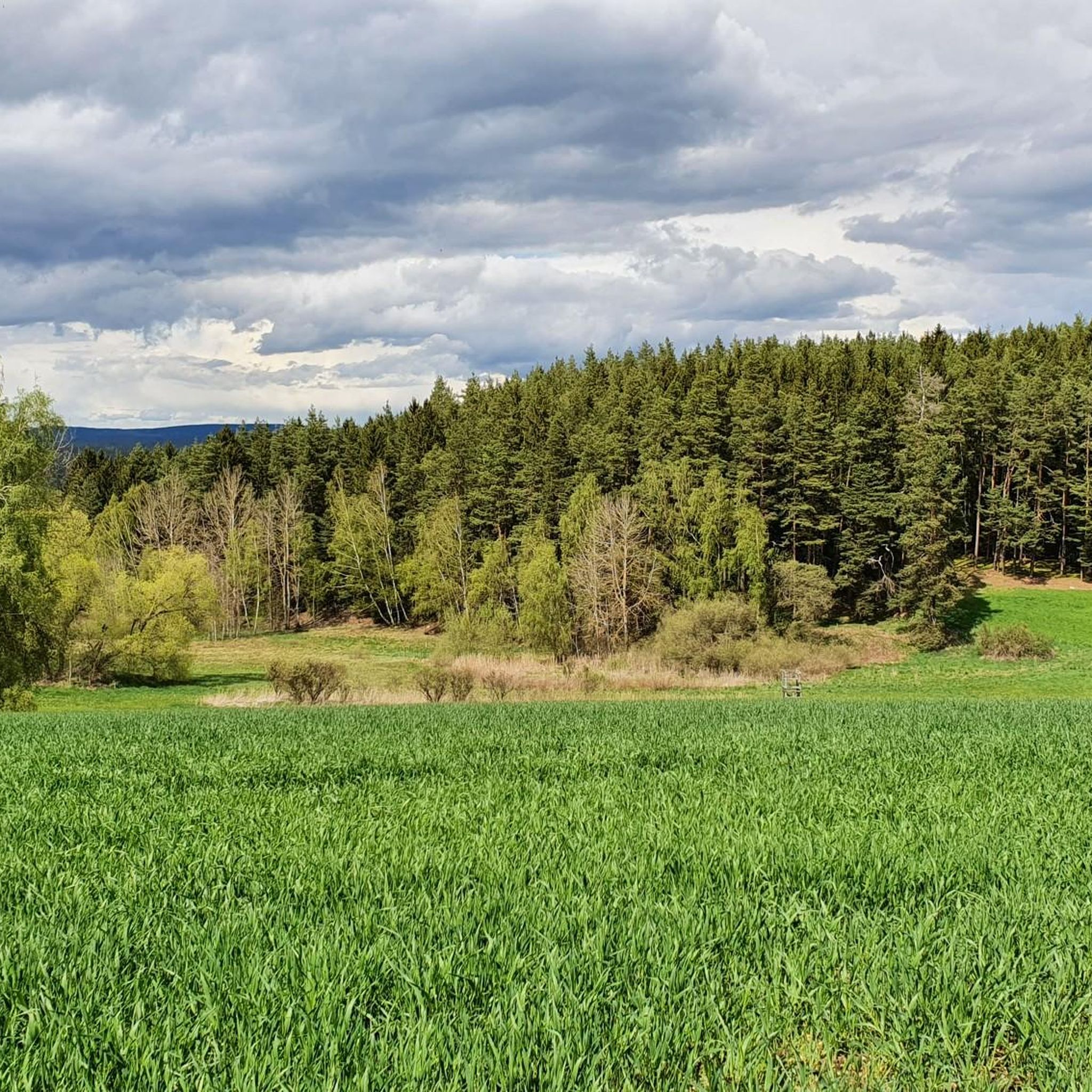
A popular photo subject. Social media is full of pictures of the chapel. And for good reason! The chapel was intentionally built in a ruin-like style, which gives it its enchanting appearance. Its exposed location allows for the use of natural light. The Mittelweg trail and a regional circular hiking trail pass by here.
2
0

Romantic bridge cycle path through the Selbbach valley.
2
0

There is always good food here
0
1

Hohenberg Castle near Eger is the best-preserved castle complex in the Fichtel Mountains. It was built between 1170 and 1222 to protect the old trade route that led from the east through the town of Eger (Cheb) and past Hohenberg. Source and further information https://stadt-hohenberg.de/index.php/tourismus/burg-hohenberg/
1
1
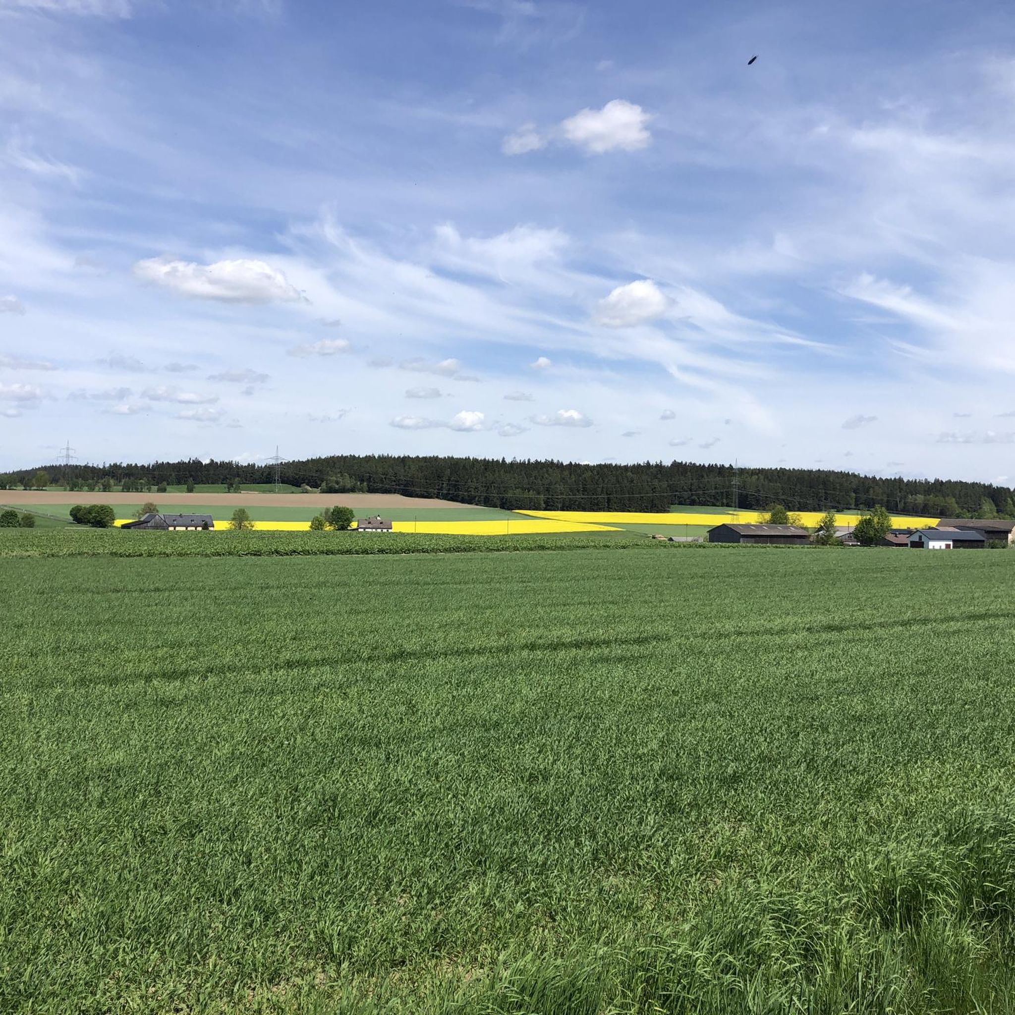
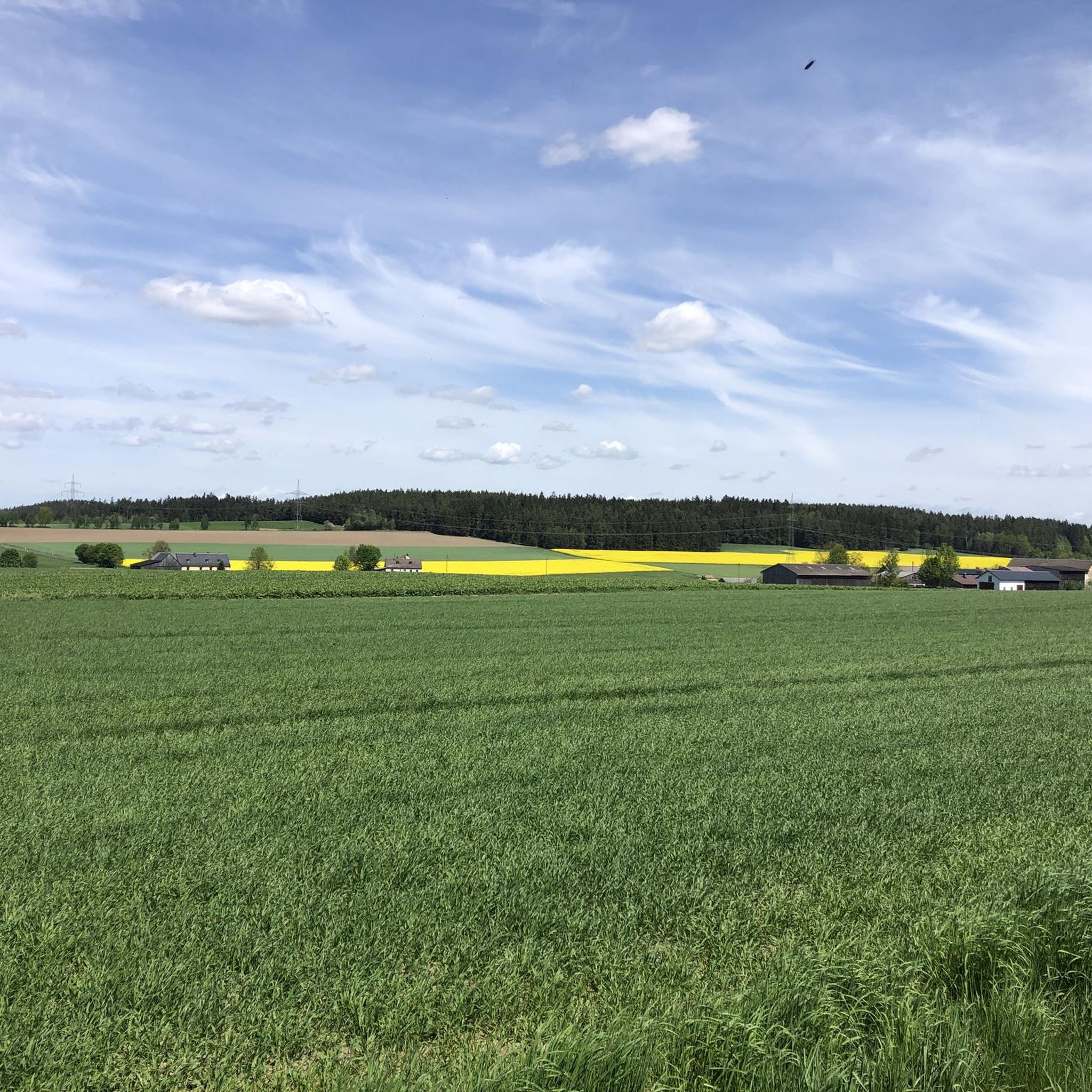
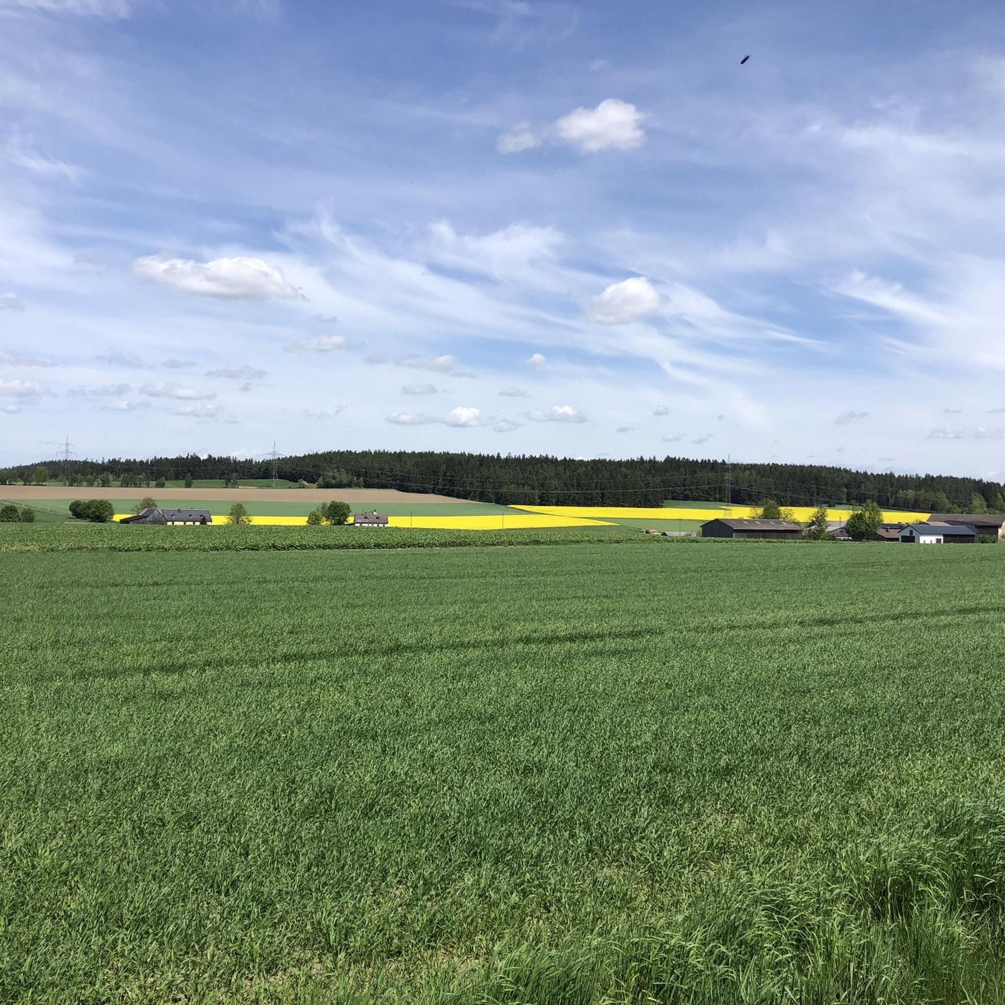
There are numerous rest areas along the bridge cycle path.
1
0

A nice rest stop with table and benches
2
0
Cycle path signs are located at intersections and show you the direction of your destination and the distance. The signs are supplemented with small pictograms of the themed routes.
2
0
Frequently Asked Questions
How many running routes are available around Höchstädt im Fichtelgebirge?
There are over 10 dedicated running routes around Höchstädt im Fichtelgebirge, catering to various fitness levels. These include 2 easy routes, 9 moderate routes, and 1 difficult route, offering a diverse range of experiences through the Fichtelgebirge landscape.
What kind of terrain can I expect on the jogging trails in this region?
The jogging trails in Höchstädt im Fichtelgebirge feature a varied terrain. You'll encounter densely wooded areas, rocky topography with unique granite formations, and paths through fields. The region offers a mix of flatter stretches, especially around tranquil lakes, and more challenging climbs through its elevated areas and wooded mountains.
Are there any family-friendly running routes in Höchstädt im Fichtelgebirge?
Yes, the region offers routes suitable for families. For an easier option, consider the 2 easy routes available. While specific 'family-friendly' routes aren't explicitly named, trails with less elevation gain and shorter distances, such as the Chapel Near Höchstädt – View of Hohenberg Castle loop (7.6 km with 49m elevation), are generally good choices for a family run.
Can I bring my dog on the running trails around Höchstädt im Fichtelgebirge?
Many trails in the Fichtelgebirge region are dog-friendly, allowing you to enjoy a run with your canine companion. It's always advisable to keep your dog on a leash, especially in wooded areas or near wildlife, and to check local regulations for specific routes. The natural, undeveloped landscapes are generally welcoming for dogs.
What are some scenic highlights or natural attractions I can see while running?
The Fichtelgebirge offers stunning natural beauty. You can incorporate routes that pass by the impressive Luisenburg Rock Labyrinth near Wunsiedel, or enjoy expansive views from the Kaiser-Wilhelm-Felsen Viewing Platform. Some routes also offer views towards Hohenberg Castle, such as the View of Hohenberg Castle loop.
Are there any circular running routes in the area?
Yes, many of the running routes around Höchstädt im Fichtelgebirge are circular, providing a convenient start and end point. Examples include the popular View of Hohenberg Castle loop (9.3 km) and the more challenging Stone bridge over the Selbbach – Brückenradweg through the Selbbach Valley loop (21.7 km).
What is the difficulty level of running routes in Höchstädt im Fichtelgebirge?
The running routes vary in difficulty. You'll find 2 easy routes, 9 moderate routes, and 1 difficult route. This range caters to different fitness levels, from leisurely runs on relatively flat surfaces to more intense trail running with significant elevation changes, such as the 21.7 km 'difficult' route with over 170 meters of ascent.
Are there any running routes that follow waterways or lakes?
Yes, the vicinity of Höchstädt im Fichtelgebirge features tranquil water bodies like Lake Weißenstadt (Weißenstädter See) and Förmitzspeicher. While specific komoot routes listed here don't directly circle these lakes, the region's network includes paths around them, offering flatter surfaces. The Stone bridge over the Selbbach – Brückenradweg through the Selbbach Valley loop follows the scenic Selbbach Valley, incorporating a waterway.
What do other runners say about the trails in Höchstädt im Fichtelgebirge?
The running routes in Höchstädt im Fichtelgebirge are highly rated by the komoot community, with an average score of 4.4 stars from over 290 reviews. Runners often praise the varied terrain, the beautiful wooded landscapes, and the well-maintained paths that make for an enjoyable outdoor experience.
Are there any waterfalls accessible from the running routes?
While not directly on the listed routes, the broader region around Höchstädt im Fichtelgebirge is home to several waterfalls. Notable ones include the Eger Waterfall (Egerwasserfall) in the Thuswald and the Thus Waterfall (Thusfall) on the Eger, which can be explored as part of a longer adventure or a separate trip.
What is the longest running route available in this guide?
The longest running route featured in this guide is the Stone bridge over the Selbbach – Brückenradweg through the Selbbach Valley loop from Höchstädt im Fichtelgebirge. This challenging path covers 21.7 km (13.5 miles) and includes approximately 173 meters of elevation gain.
Are there any routes that offer views of castles or historical sites?
Yes, several routes provide scenic views of historical landmarks. For instance, the View of Hohenberg Castle loop from Höchstädt im Fichtelgebirge and the Chapel Near Höchstädt – View of Hohenberg Castle loop both offer glimpses of Hohenberg Castle, adding a historical element to your run.
Most popular routes around Höchstädt im Fichtelgebirge
Most popular attractions around Höchstädt im Fichtelgebirge

Get inspired with the komoot mobile app


Explore more
Browse the best Running Trails & Routes in other regions.
