The best mountain hikes around Schwarzenbach an der Saale
5.0
(1)
9
hikers
4
hikes
Mountaineering routes Schwarzenbach an der Saale are situated in Upper Franconia, at the foot of the Großer Kornberg, between the Frankenwald and Fichtelgebirge mountain ranges. The region is characterized by a diverse landscape featuring forested peaks, river valleys, and prominent rock formations. Key natural landmarks include the Großer Kornberg and the Great Waldstein, both offering significant elevation and varied terrain for mountaineering. The Saale River also winds through the area, providing additional natural features.
Best mountaineering routes around Schwarzenbach an…
Last updated: October 13, 2026
5
hikers
4.88km
01:14
10m
10m
Easy mountaineering route. Great for any fitness level. Easily-accessible paths. Suitable for all skill levels.
5.0
(1)
1
hikers
Moderate mountaineering route. Good fitness required. Mostly accessible paths. Sure-footedness required.

2
hikers
7.52km
02:12
220m
220m
Moderate mountaineering route. Good fitness required. Easily-accessible paths. Suitable for all skill levels.
1
hikers
Moderate mountaineering route. Good fitness required. Easily-accessible paths. Suitable for all skill levels.
Our route recommendations are based on thousands of hikes, rides, and runs completed by other people on komoot.
Start today with a free account
Your next adventure awaits.
Popular around Schwarzenbach an der Saale
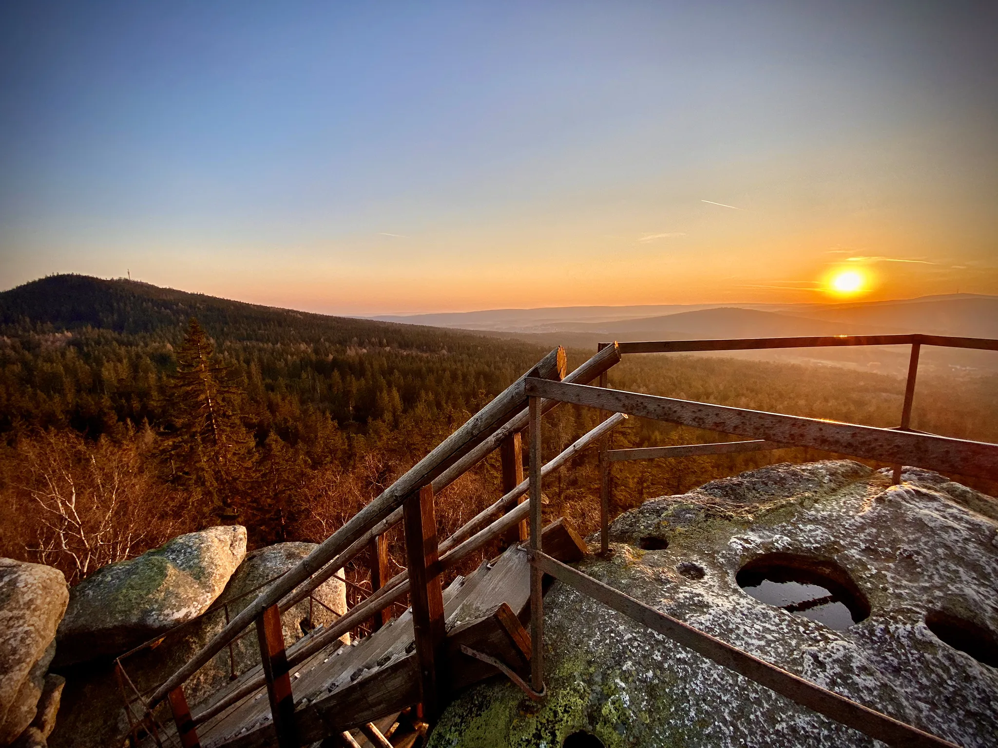
Hike granite peaks and forests in Bavaria – Fichtelgebirge High Trail
D-Route 11 – Baltic Sea - Upper Bavaria
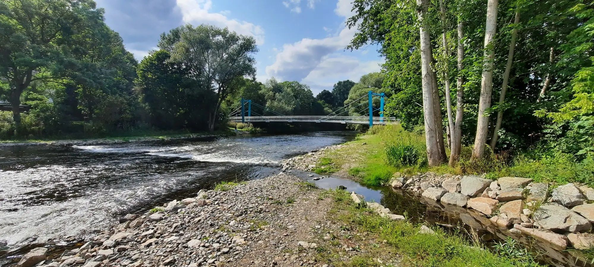
Hiking around Schwarzenbach an der Saale
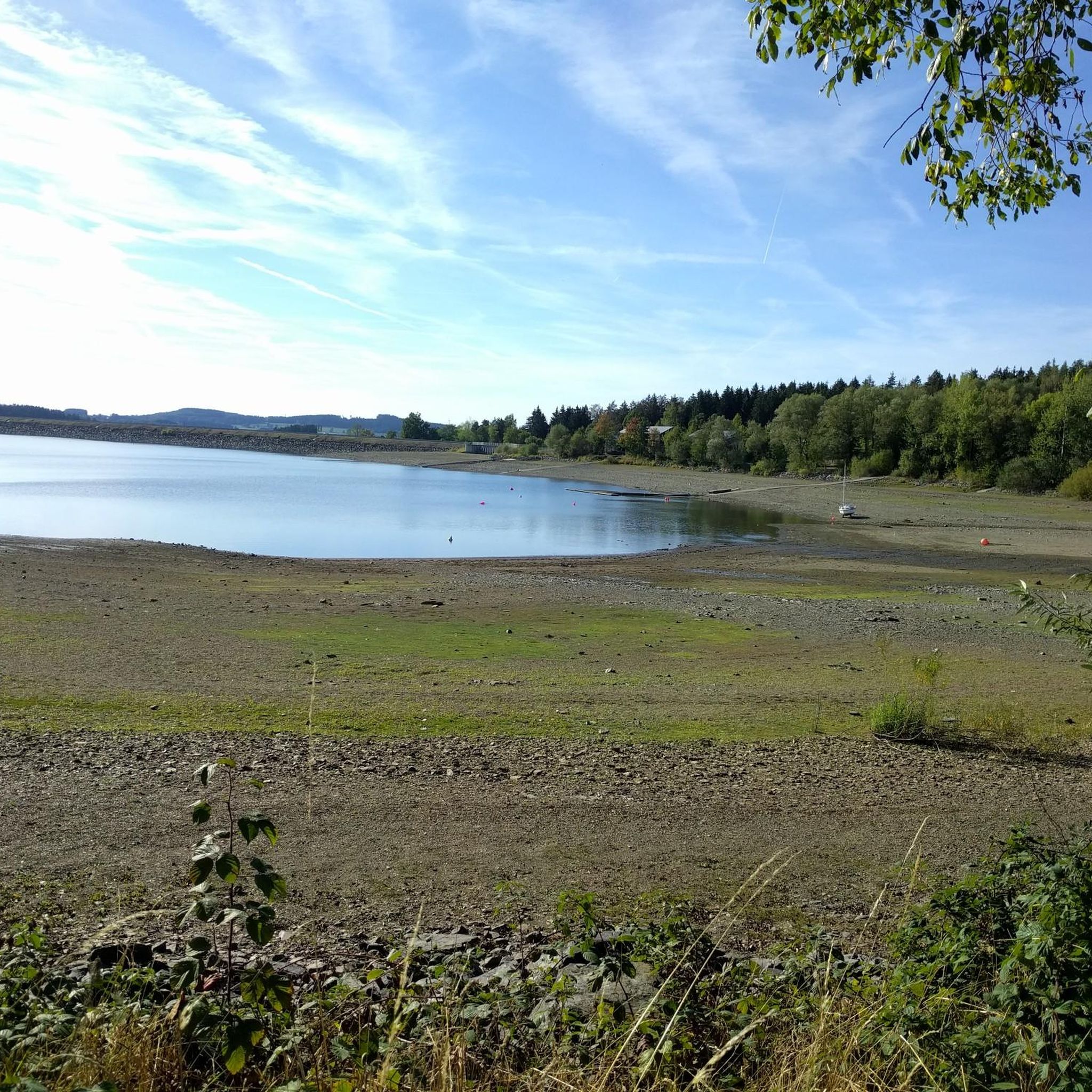
Cycling around Schwarzenbach an der Saale
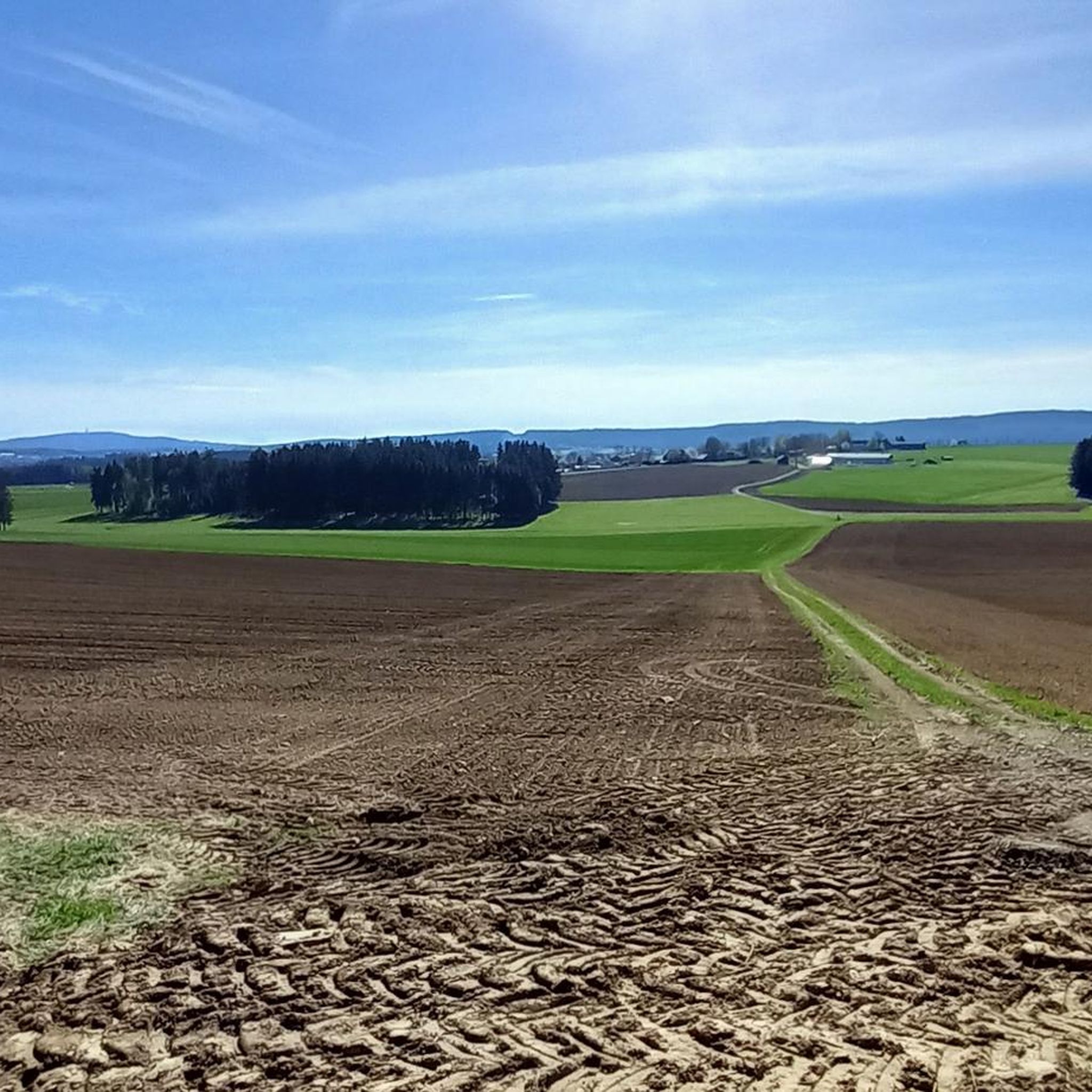
Running Trails around Schwarzenbach an der Saale
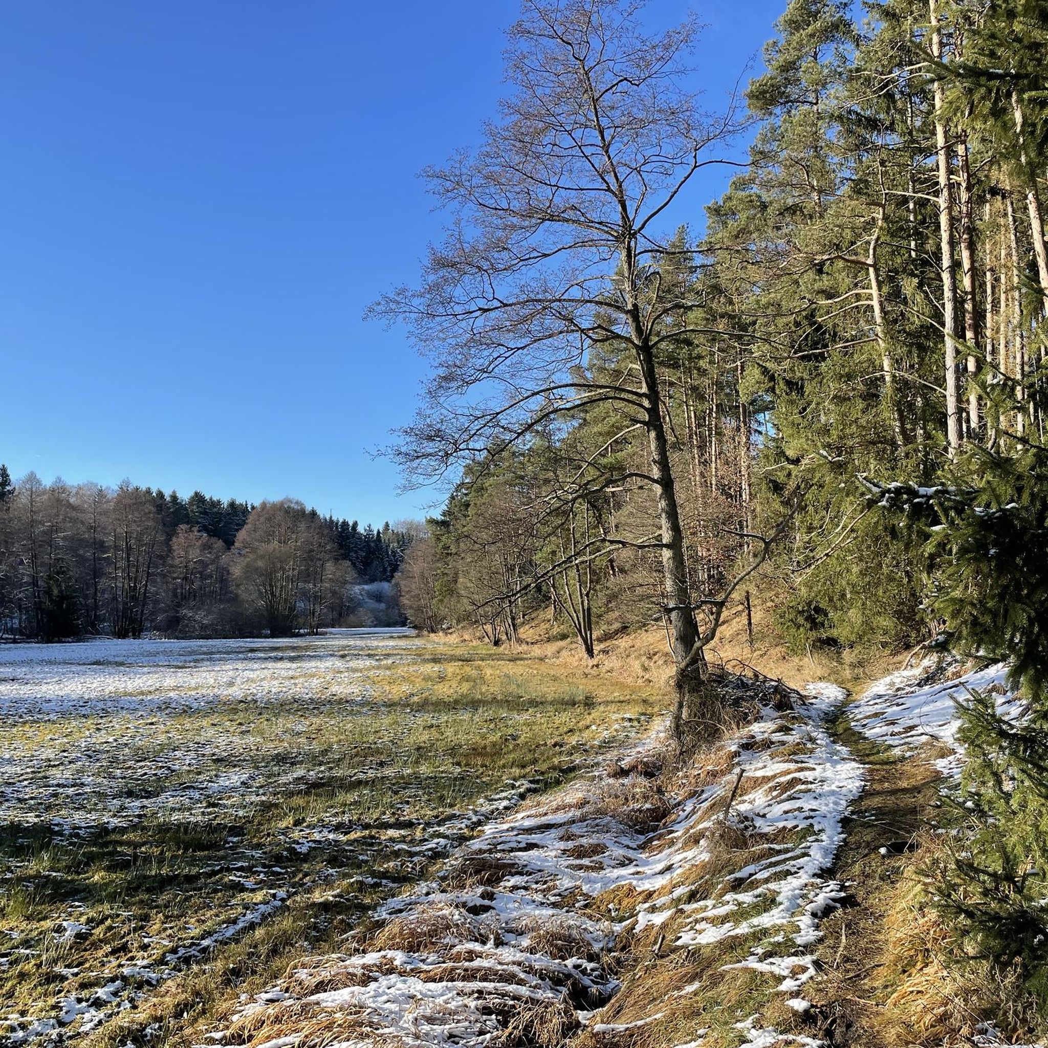
MTB Trails around Schwarzenbach an der Saale
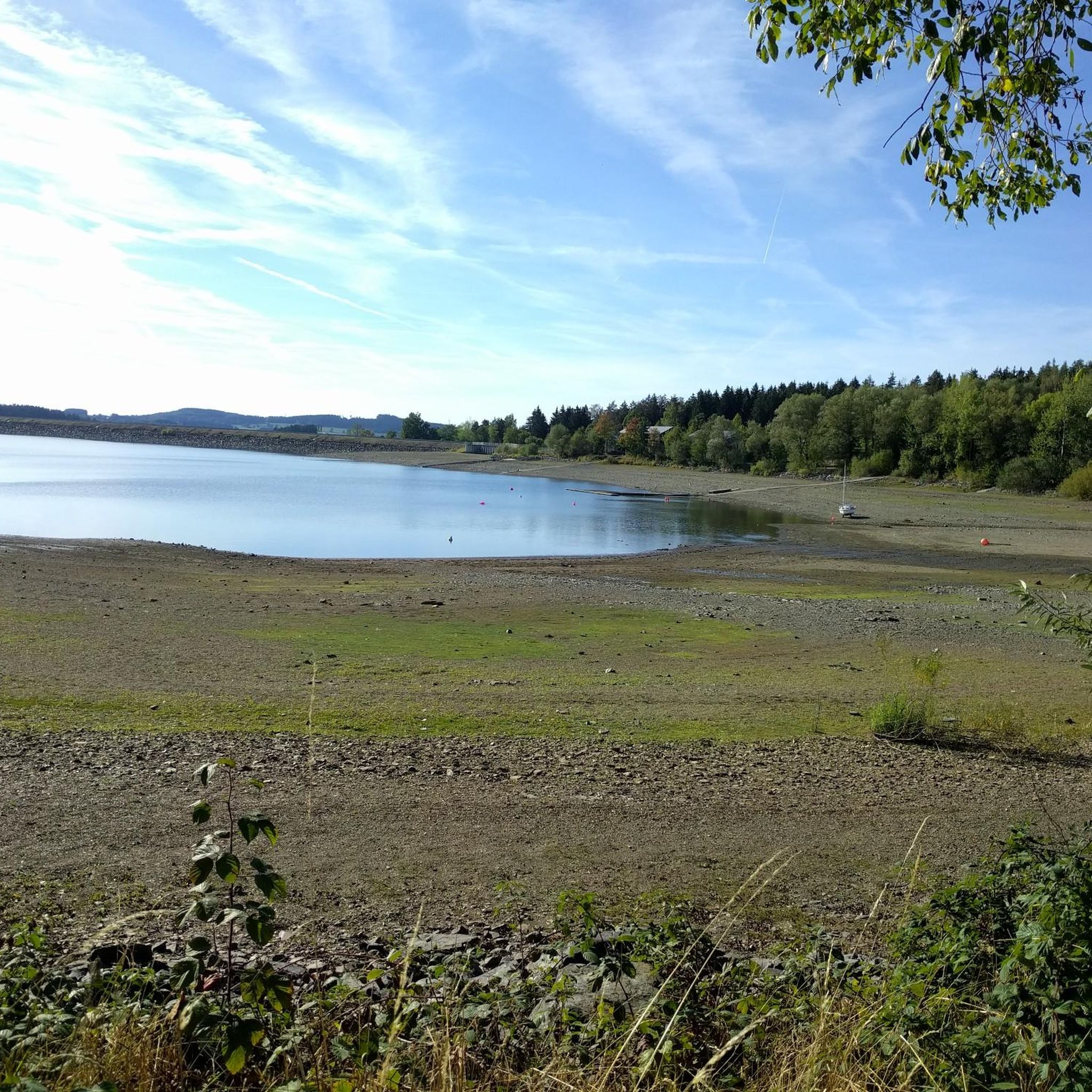
Road Cycling Routes around Schwarzenbach an der Saale

Gravel biking around Schwarzenbach an der Saale
Other adventures around Schwarzenbach an der Saale


Tips from the Community

The Waldsteinhaus restaurant is located in an idyllic setting on the Großer Waldstein and has a beer garden. https://www.waldsteinhaus.com/
3
0
Massive bear trap made of granite 🧐
3
0
Another Teufelstisch at Waldstein 👿
3
0
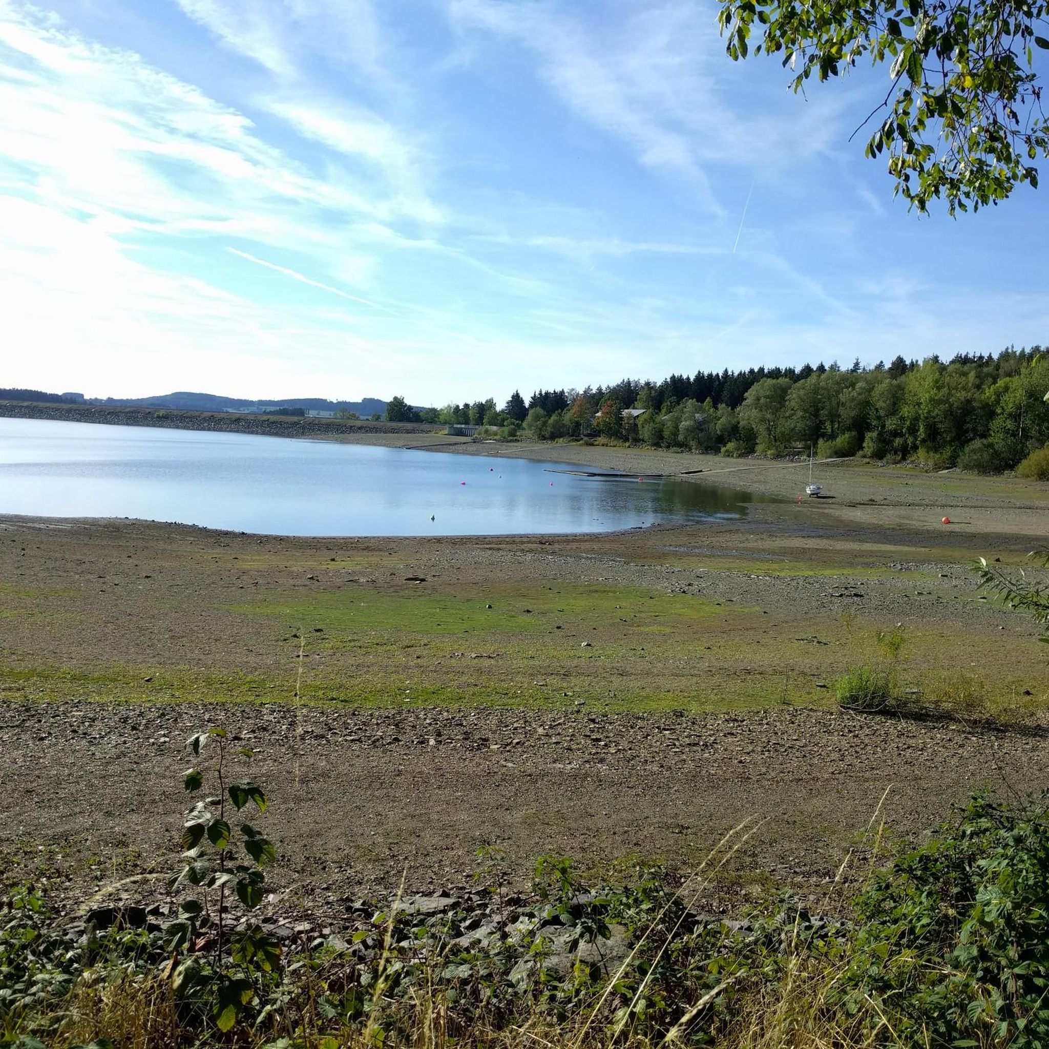
Beautiful excursion destination of the Weißenstädter See
3
0

Fish smoking on the Weißenstädter See
1
1

Here you can find not only smoked fish, but also grilled fish with potato salad, as well as coffee and cake (albeit with a small selection). You sit with a view of the lake.
1
0

Frequently Asked Questions
How many mountaineering routes can I find around Schwarzenbach an der Saale?
Komoot features 4 distinct mountaineering routes around Schwarzenbach an der Saale. These trails offer a variety of experiences, from gentle lakeside walks to more challenging ascents into the Fichtelgebirge.
What are the difficulty levels of the mountaineering routes in this area?
The mountaineering routes around Schwarzenbach an der Saale cater to various skill levels. You'll find 1 easy route, perfect for a relaxed outing, and 3 moderate routes that offer more elevation gain and distance. There are no difficult routes listed in this guide.
Are there any family-friendly mountaineering routes around Schwarzenbach an der Saale?
Yes, the region offers options suitable for families. The Lake Weißenstadt – Weißenstadt Lake loop from Bad Weißenstadt is an easy, 3.0-mile (4.8 km) trail with gentle gradients, making it a great choice for a family outing. The Förmitzspeicher (Förmitz Reservoir) also provides a pleasant setting for walks.
Which routes offer the best panoramic views?
For stunning panoramic views, consider the Ski Slope at Großer Kornberg – Reconnaissance Tower Kornberg loop from Martinlamitzer Forst Nord. This moderate route ascends Großer Kornberg, leading to the Schönburgwarte watchtower, which offers expansive vistas. The 🏔️ Great Waldstein – Großer Waldstein loop from Zell im Fichtelgebirge also provides excellent views from the Great Waldstein summit.
Are there any circular mountaineering routes in the area?
Yes, all the featured mountaineering routes in this guide are circular. Examples include the easy Lake Weißenstadt – Weißenstadt Lake loop from Bad Weißenstadt, and the moderate Ski Slope at Großer Kornberg – Reconnaissance Tower Kornberg loop from Martinlamitzer Forst Nord and 🏔️ Great Waldstein – Großer Waldstein loop from Zell im Fichtelgebirge.
What natural landmarks or points of interest can I explore along these routes?
The region is rich in natural landmarks. You can explore the prominent Great Waldstein with its unique rock formations, or ascend the Großer Kornberg to the Schönburgwarte watchtower. The Saale River also offers picturesque sections, and the Förmitzspeicher is the largest lake in Upper Franconia.
What is the best time of year for mountaineering in Schwarzenbach an der Saale?
The best seasons for mountaineering in Schwarzenbach an der Saale are typically spring and autumn. During these times, the weather is generally pleasant, and the blossoming nature or colorful foliage enhances the scenic beauty of the trails. Summer is also suitable, though it can be warmer.
Are there any historical sites or castles near the mountaineering trails?
Yes, the area combines natural beauty with historical interest. You can find the Waldsteinburg (Red Castle) and the Epprechtstein Castle Ruins, both offering historical exploration alongside your outdoor activity. The Epprechtstein Castle Ruins, for instance, provide panoramic views from its 798-meter summit.
What do other mountaineers enjoy most about the routes here?
The mountaineering routes around Schwarzenbach an der Saale are highly rated by the komoot community, with an average score of 5.0 stars. Users often praise the varied terrain, the prominent peaks like Großer Kornberg and Great Waldstein, and the scenic beauty of the Fichtelgebirge and Saale River valley.
Are the mountaineering routes around Schwarzenbach an der Saale accessible by public transport?
While specific public transport connections to every trailhead are not detailed in this guide, Schwarzenbach an der Saale itself is a town in Upper Franconia. For routes starting from nearby villages like Zell im Fichtelgebirge or Bad Weißenstadt, it's advisable to check local bus schedules or regional train connections to plan your access to the trailheads.
Where can I find parking for the mountaineering routes?
Parking availability varies by trailhead. For routes like the Ski Slope at Großer Kornberg – Reconnaissance Tower Kornberg loop, you would typically look for parking near Martinlamitzer Forst Nord. For routes around Weißenstadt Lake or Zell im Fichtelgebirge, designated parking areas are usually available near the starting points of popular trails. Always check local signage upon arrival.
Are there places to eat or drink near the mountaineering routes?
Schwarzenbach an der Saale and the surrounding villages like Zell im Fichtelgebirge and Bad Weißenstadt offer various cafes and pubs where you can refuel after your mountaineering adventure. It's a good idea to check opening times in advance, especially in smaller communities.
Most popular routes around Schwarzenbach an der Saale
Most popular attractions around Schwarzenbach an der Saale

Get inspired with the komoot mobile app


Explore more
Browse the best Mountain Hikes & Routes in other regions.
